Scientists confirm 2023 data that suggested active volcanism on Venus

Click for original video
Scientists have now confirmed a 2023 paper that had found evidence in archival data from the Magellan orbiter that there was active volcanism on Venus. From the abstract of the new paper:
To investigate more widespread alterations that have occurred over time in the planet’s surface morphology, we compared radar images of the same regions observed from 1990 to 1992 with the Magellan spacecraft. We found variations in the radar backscatter from different volcanic-related flow features on the western flank of Sif Mons and in western Niobe Planitia. We suggest that these changes are most reasonably explained as evidence of new lava flows related to volcanic activities that took place during the Magellan spacecraft’s mapping mission with its synthetic-aperture radar.
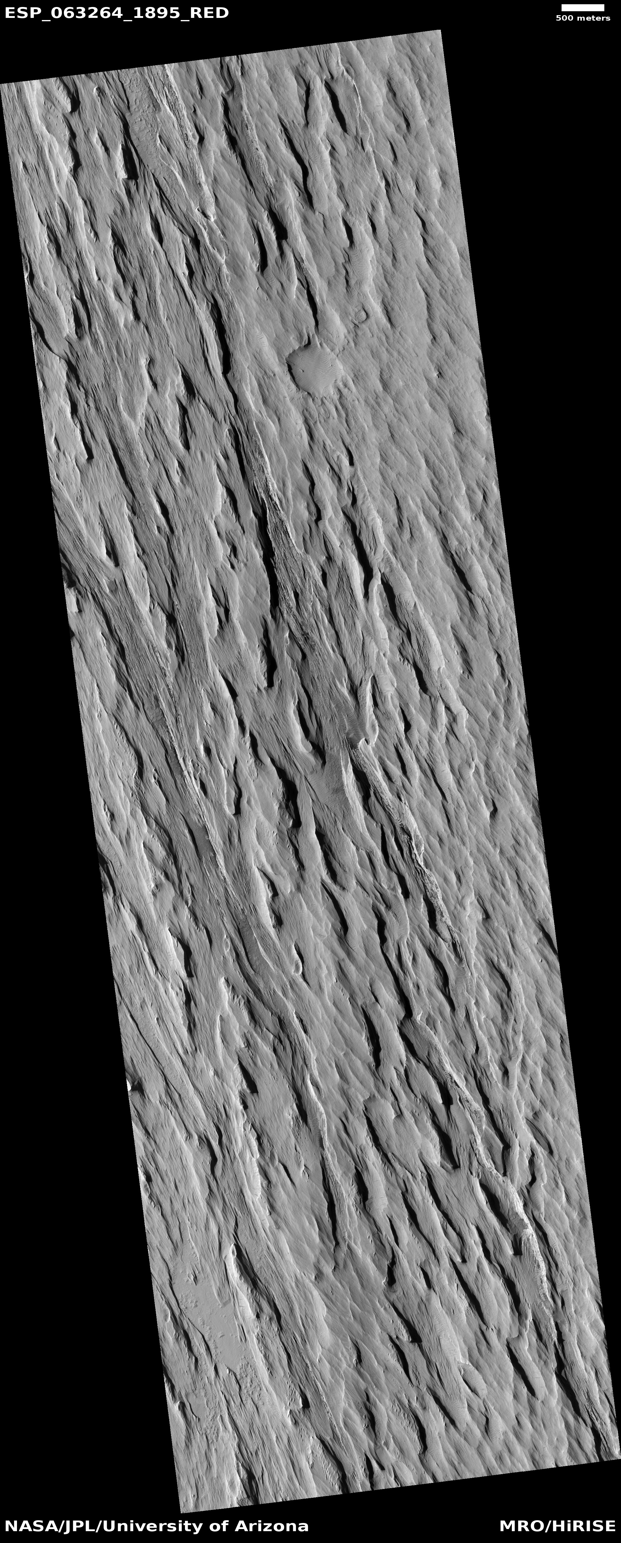
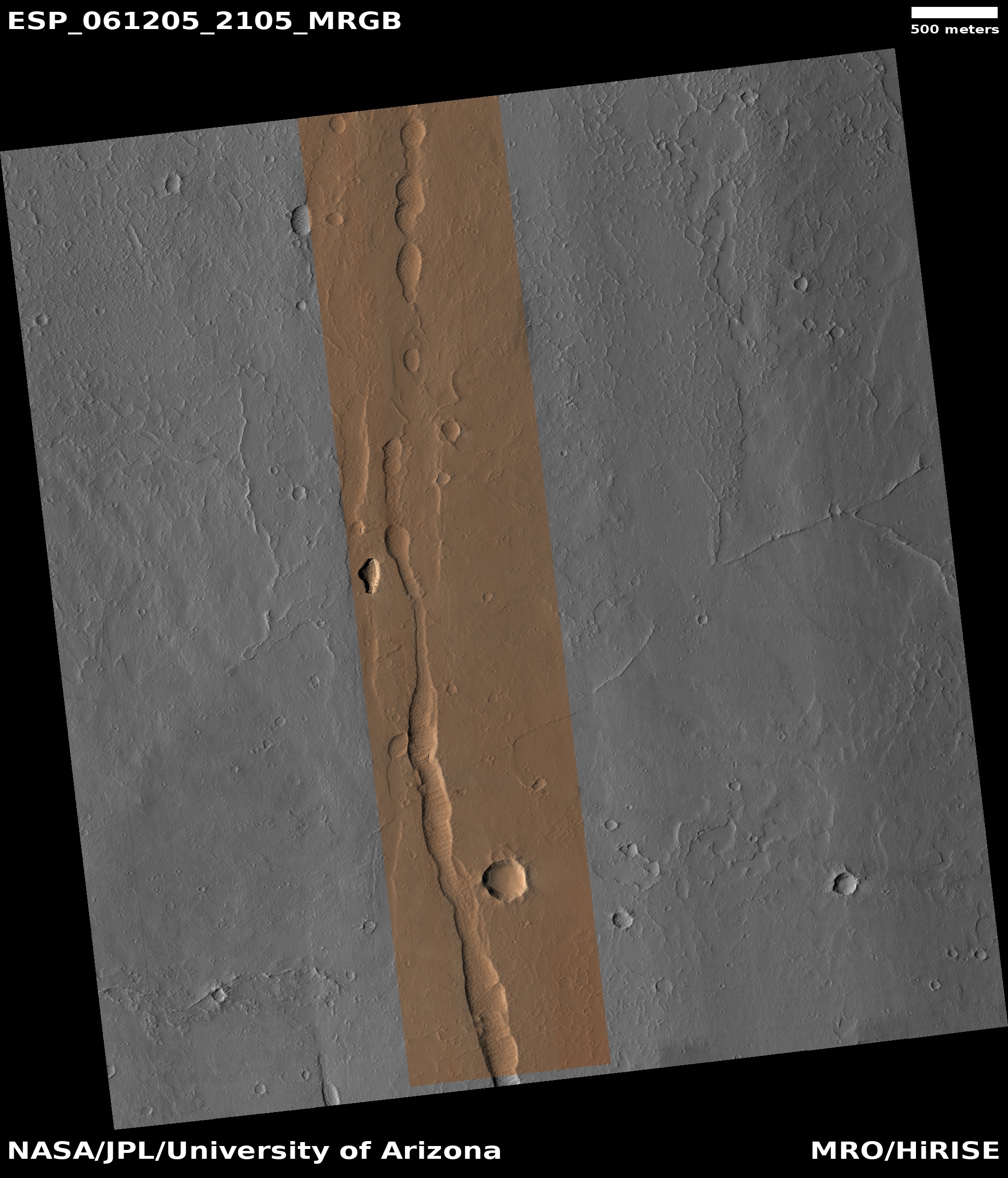
The image to the right is a screen capture, annotated to post here, from a video computer animation created by the science team based on that Magellan data. The red areas are where the scientists detected lava flow changes on the flanks of the volcano Sif Mons. From the press release:
Using flows on Earth as a comparison, the researchers estimate new rock that was emplaced in both locations to be between 10 and 66 feet (3 and 20 meters) deep, on average. They also estimate that the Sif Mons eruption produced about 12 square miles (30 square kilometers) of rock — enough to fill at least 36,000 Olympic-size swimming pools. The Niobe Planitia eruption produced about 17 square miles (45 square kilometers) of rock, which would fill 54,000 Olympic swimming pools. As a comparison, the 2022 eruption of Mauna Loa in Hawaii, Earth’s largest active volcano, produced a lava flow with enough material to fill 100,000 Olympic pools.
There is uncertainty of course with this result, due to the difficulty of analyzing radar data properly. Nonetheless, this result reinforces last year’s results, which saw evidence of changes between the two Magellan data sets in a different region near the volcanoes Ozza Mons and Maat Mons. It also reinforces previous work going back decades that has repeatedly suggested Venus was volcanically active.

Click for original video
Scientists have now confirmed a 2023 paper that had found evidence in archival data from the Magellan orbiter that there was active volcanism on Venus. From the abstract of the new paper:
To investigate more widespread alterations that have occurred over time in the planet’s surface morphology, we compared radar images of the same regions observed from 1990 to 1992 with the Magellan spacecraft. We found variations in the radar backscatter from different volcanic-related flow features on the western flank of Sif Mons and in western Niobe Planitia. We suggest that these changes are most reasonably explained as evidence of new lava flows related to volcanic activities that took place during the Magellan spacecraft’s mapping mission with its synthetic-aperture radar.
The image to the right is a screen capture, annotated to post here, from a video computer animation created by the science team based on that Magellan data. The red areas are where the scientists detected lava flow changes on the flanks of the volcano Sif Mons. From the press release:
Using flows on Earth as a comparison, the researchers estimate new rock that was emplaced in both locations to be between 10 and 66 feet (3 and 20 meters) deep, on average. They also estimate that the Sif Mons eruption produced about 12 square miles (30 square kilometers) of rock — enough to fill at least 36,000 Olympic-size swimming pools. The Niobe Planitia eruption produced about 17 square miles (45 square kilometers) of rock, which would fill 54,000 Olympic swimming pools. As a comparison, the 2022 eruption of Mauna Loa in Hawaii, Earth’s largest active volcano, produced a lava flow with enough material to fill 100,000 Olympic pools.
There is uncertainty of course with this result, due to the difficulty of analyzing radar data properly. Nonetheless, this result reinforces last year’s results, which saw evidence of changes between the two Magellan data sets in a different region near the volcanoes Ozza Mons and Maat Mons. It also reinforces previous work going back decades that has repeatedly suggested Venus was volcanically active.