
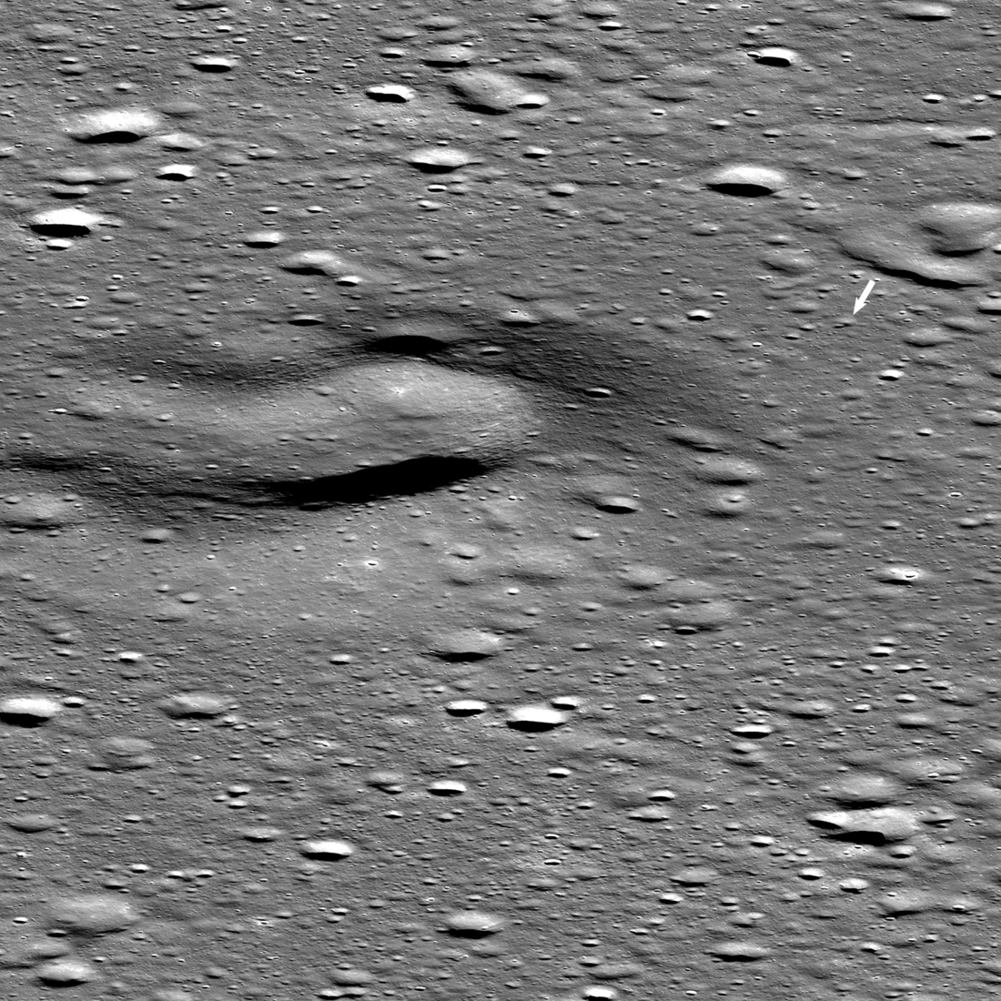
Athena sits at an unknown angle on the Moon, hampering operations

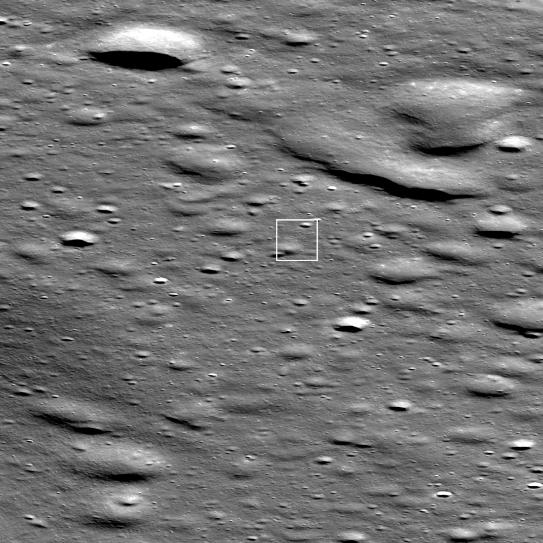
Yellow cross indicates Athena’s targeted landing site
According to the CEO of Intuitive Machines, Athena is sitting an an unknown angle on the Moon, impacting the possibility of all surface science operations.
The tilt is hampering their ability to use the high gain antenna which they need use to download most of their data. They do not know the angle, or the cause of this issue. It could simply be that the ground slope is too severe. It is also possible the spacecraft, which has a relatively high center of gravity, fell over on its side because of that slope. Moreover, they do not know at the moment exactly where the spacecraft landed, though they know it landed on Mons Mouton as planned. They need to download pictures from the spacecraft, as well as from Lunar Reconnaissance Orbiter (LRO) in orbit to determine precisely the location and the situation.
It is also unclear what payloads will be impacted by this situation. It could be that most if all could be utilized, but that question cannot be answered until they learn more. I suspect both the mini-rover and the Grace hopper will be affected the most, as the tilt might make it impossible to deploy either.
For Intuitive Machines this situation is very unfortunate. It has sent two unmanned lunar landers, and both have had issues at landing, though it must be emphasized that the issue on today’s second landing might have nothing to do with the company’s engineering at all.


