
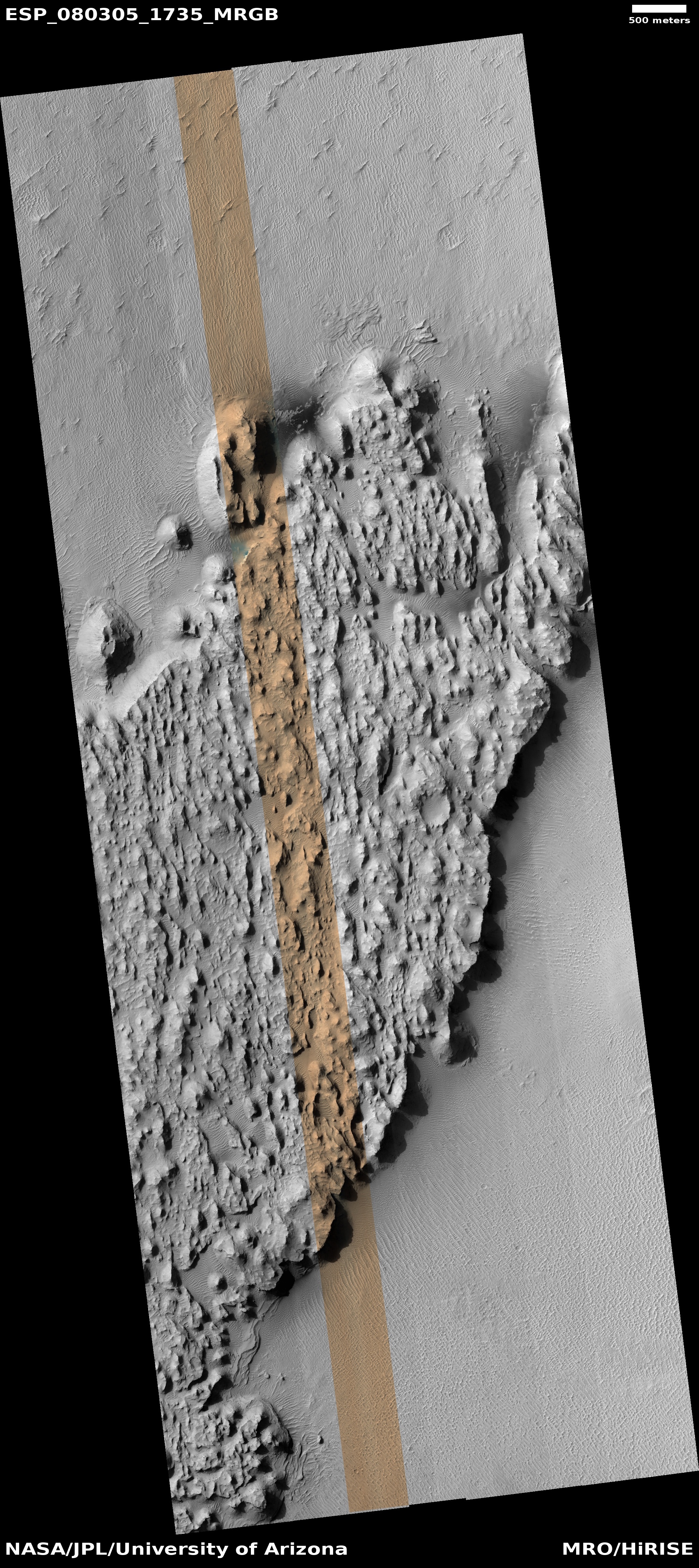
A Martian cliff of ash, flushed by wind
Click for original image.
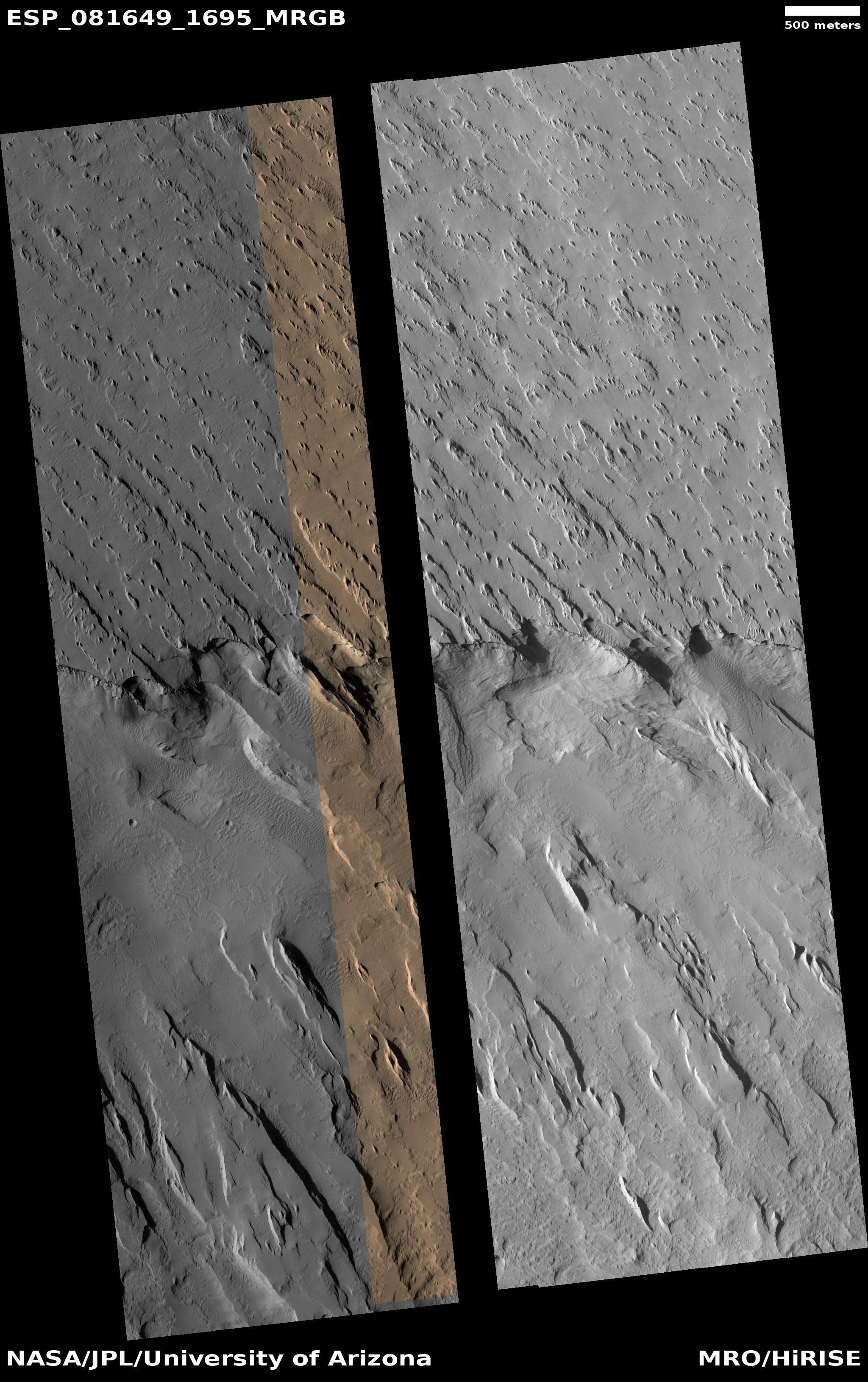
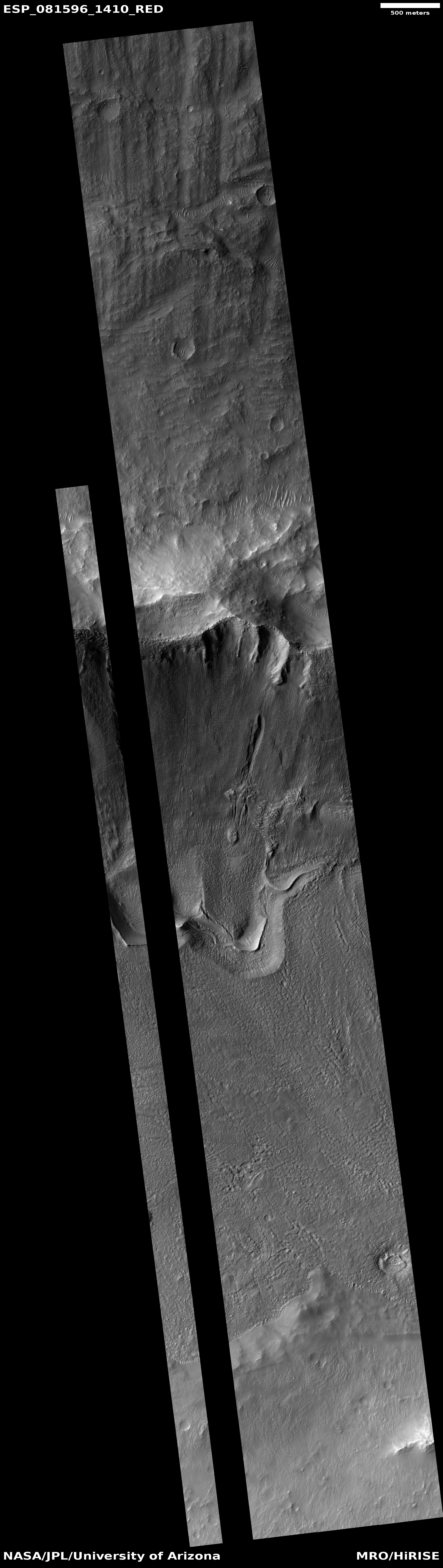
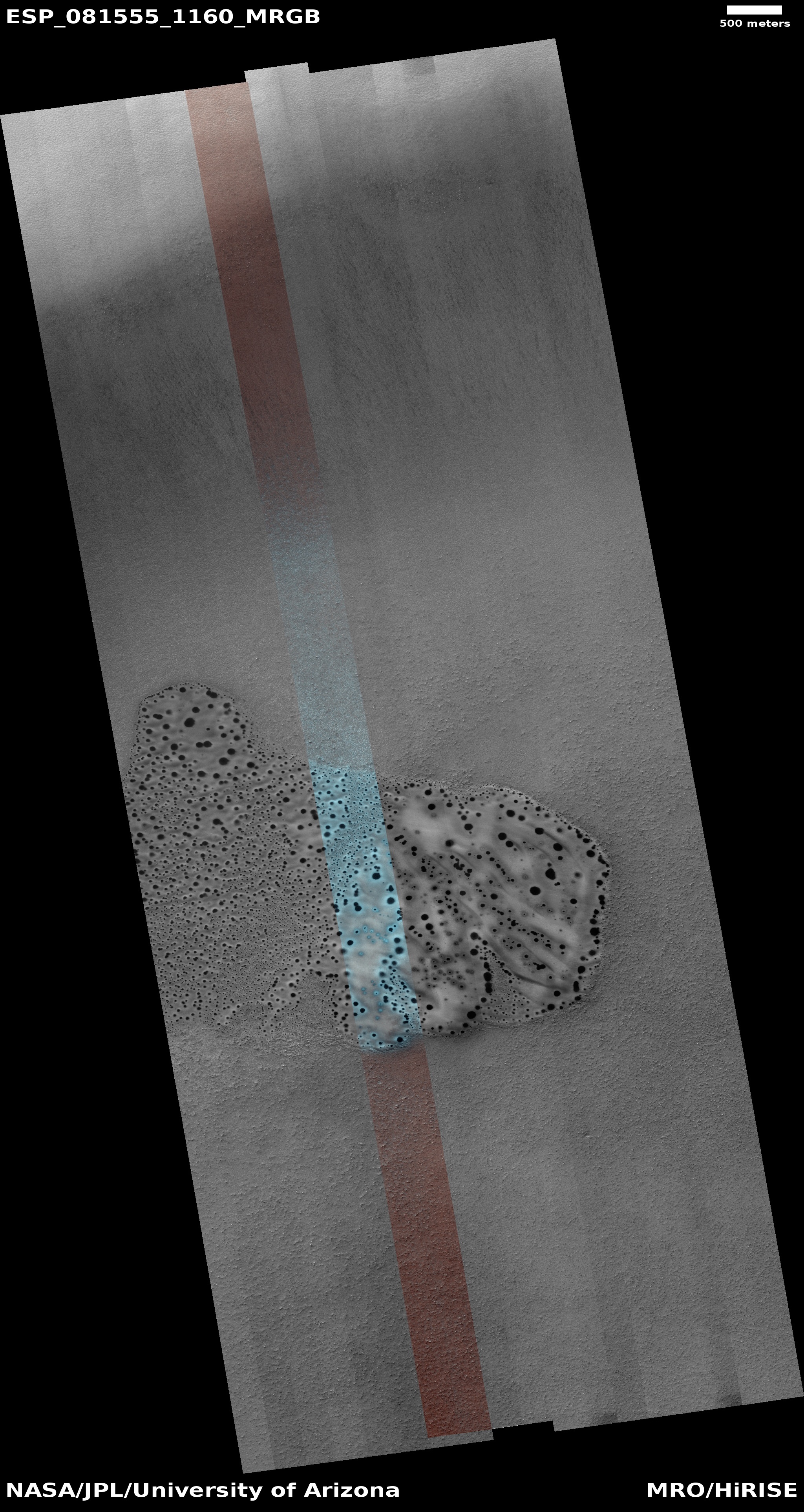
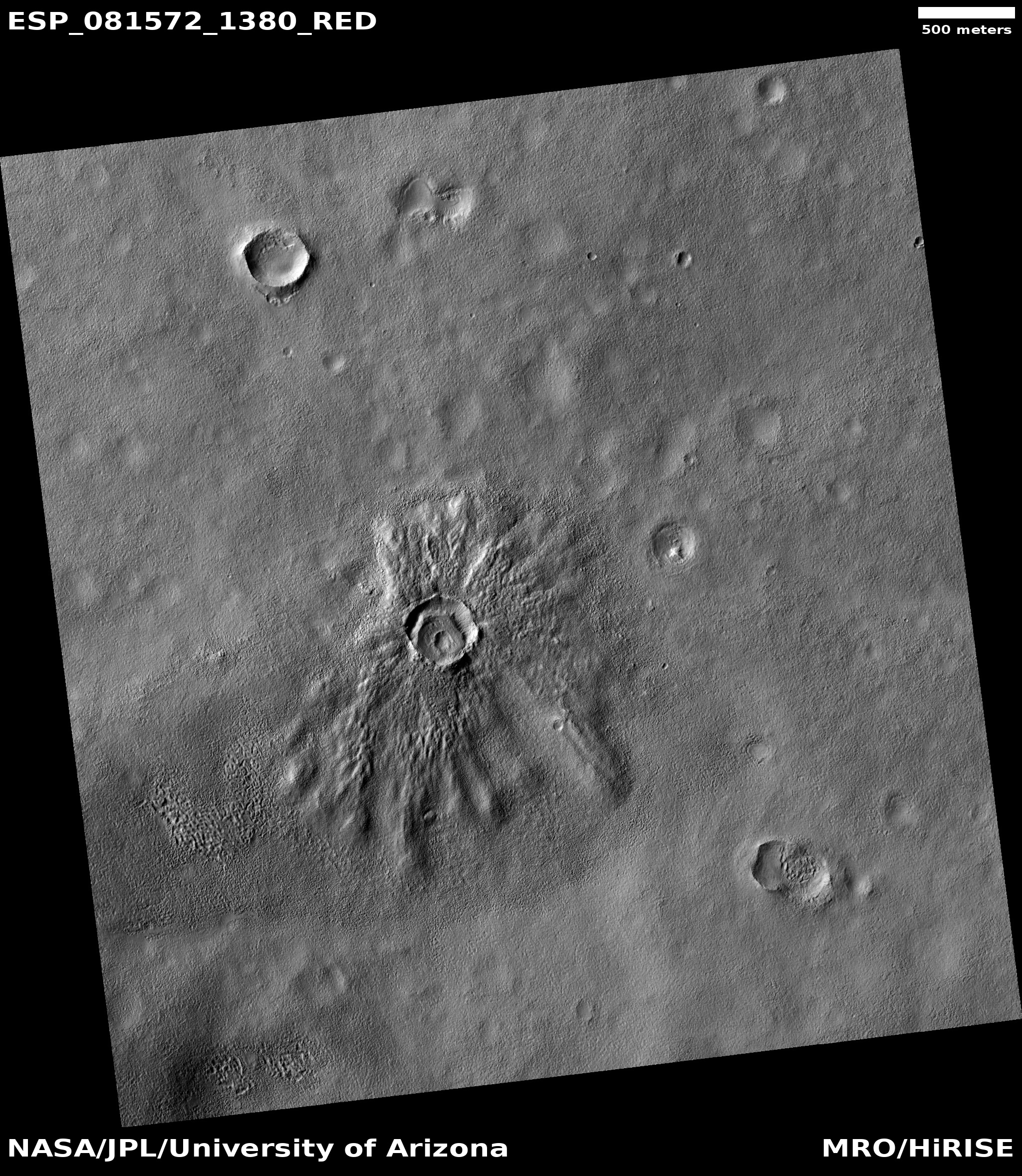
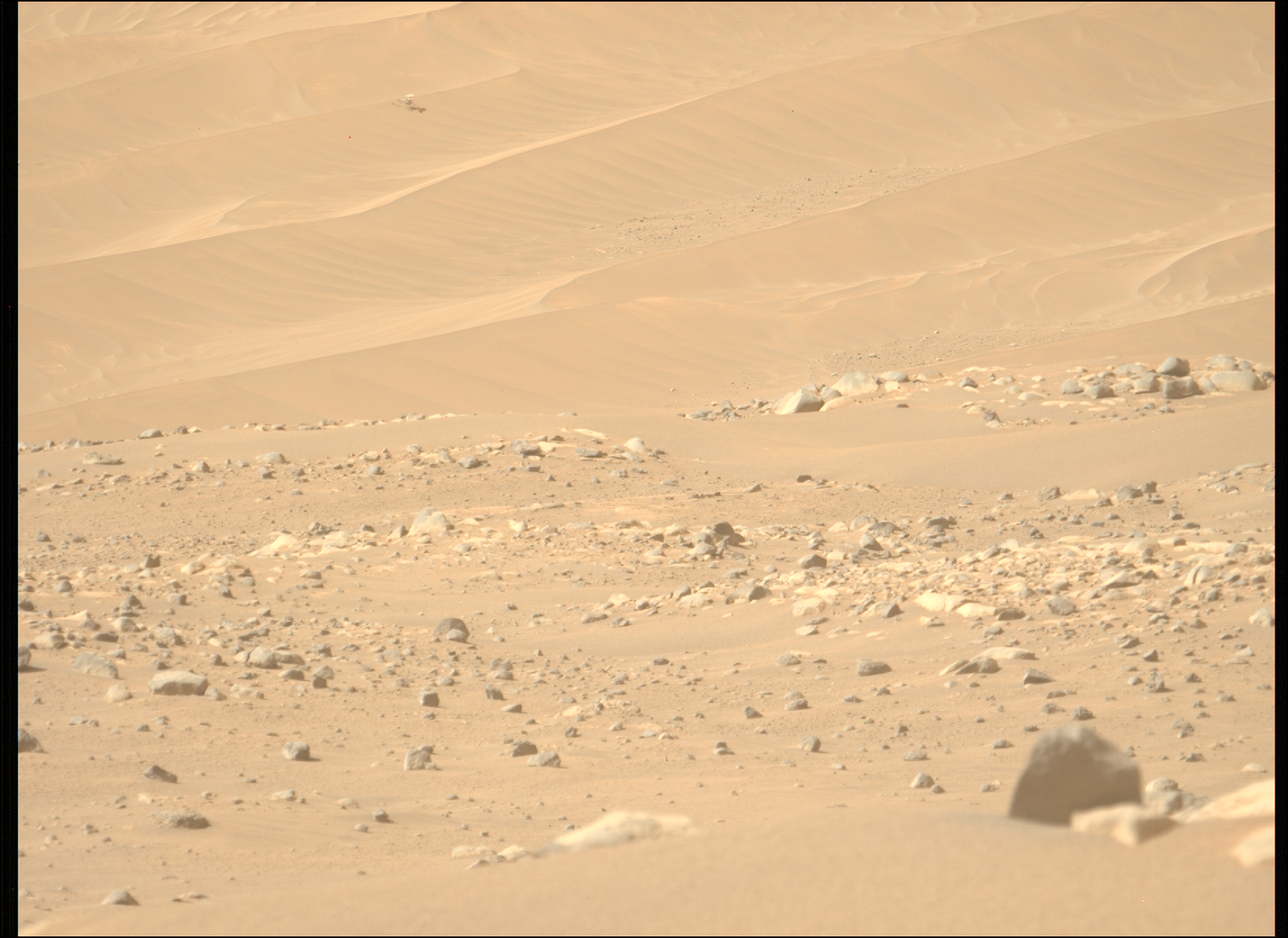
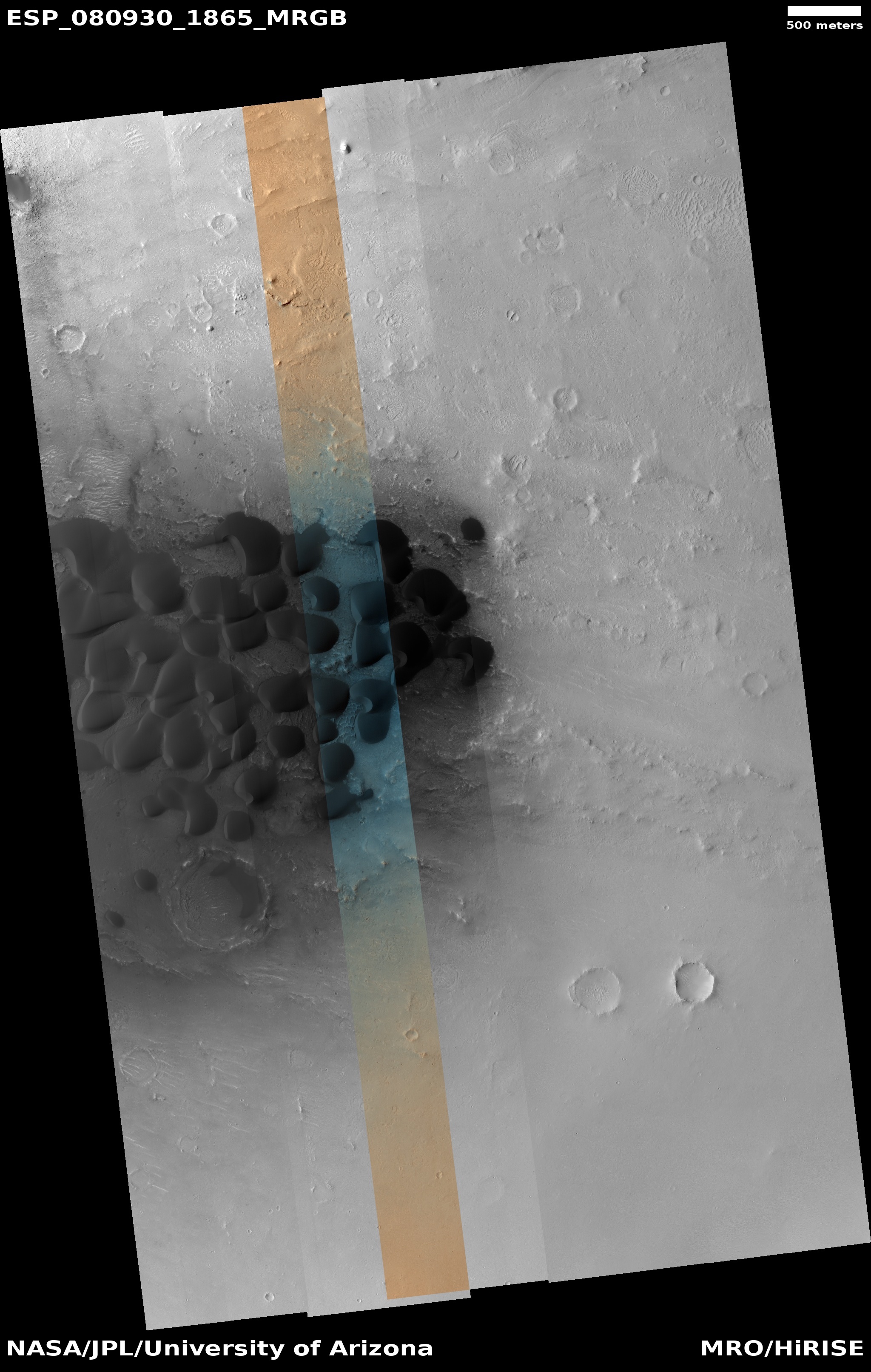
Cool image time! The picture to the right, rotated, cropped, reduced, and sharpened to post here, was taken on December 27, 2023 by the high resolution camera on Mars Reconnaissance Orbiter (MRO). Described merely as an “exposed scarp” by the science team, this cliff edge is actually much more.
First some basic details. The elevation drop from the plateau down to the base of this cliff is about a thousand feet. The material that forms this plateau, scarp, and its base is all volcanic ash. The thicker sections of ash has caused its lower levels to compress, harden into a kind of sandstone. Near the surface however it is more friable, and like sandstone can break apart somewhat more easily.
The prevailing winds at this site are generally blowing to the south, but beginning to turn to the east, which explains the northwest to southeast orientation of the features.
The best analogy I can come up with to explain the erosion of this scarp is as follows: Imagine a deposit of dry mud a few inches thick on pavement. Take a leaf blower and blow at it hard, always in one direction. Eventually the outer edge will break up and blow away, leaving a sharp edge, that will also retreat with time as the wind continues to blow.
Here the winds are eroding that cliff, causing periodic avalanches which dissolve into sand that then blows away, leaving no debris pile at the base of the cliff. The ridges indicate harder material, that breaks away last, which is why there are some ridgelines extending outward from the scarp in line with these ridges. At the same time, these ridges of harder ash still break up with time, as some are cut off suddenly at the cliff edge.
» Read more


