
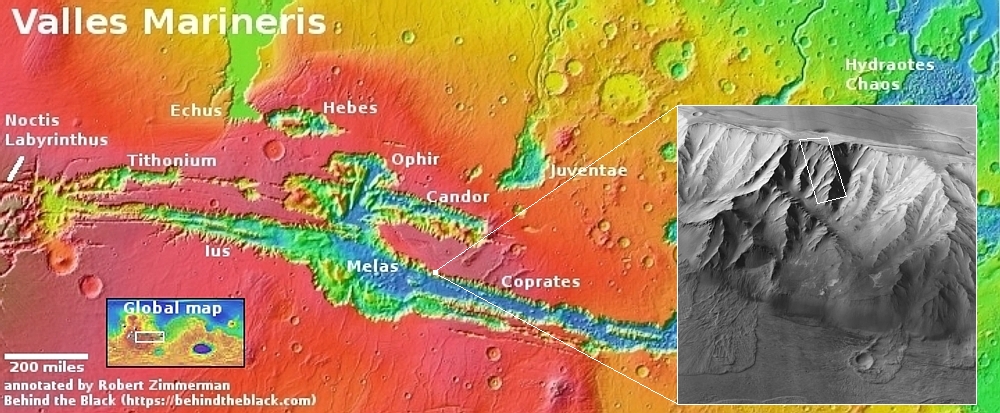
Pits formed from sublimating underground ice on Mars?
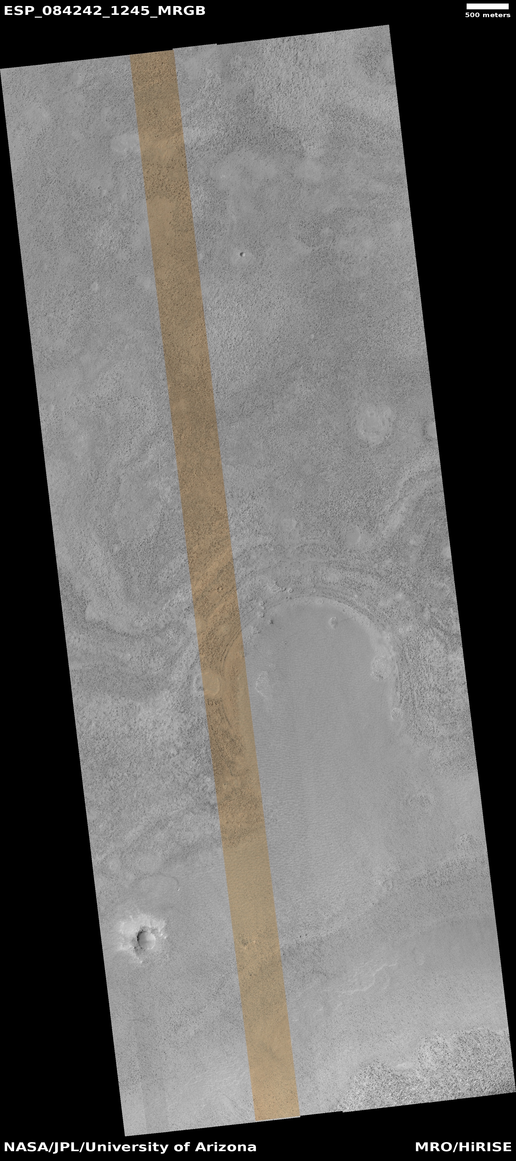
Click for original image.
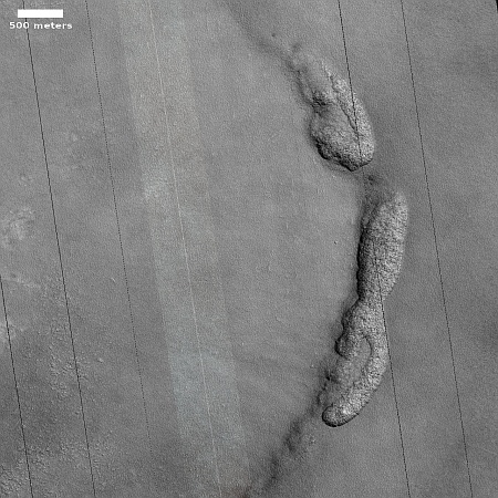
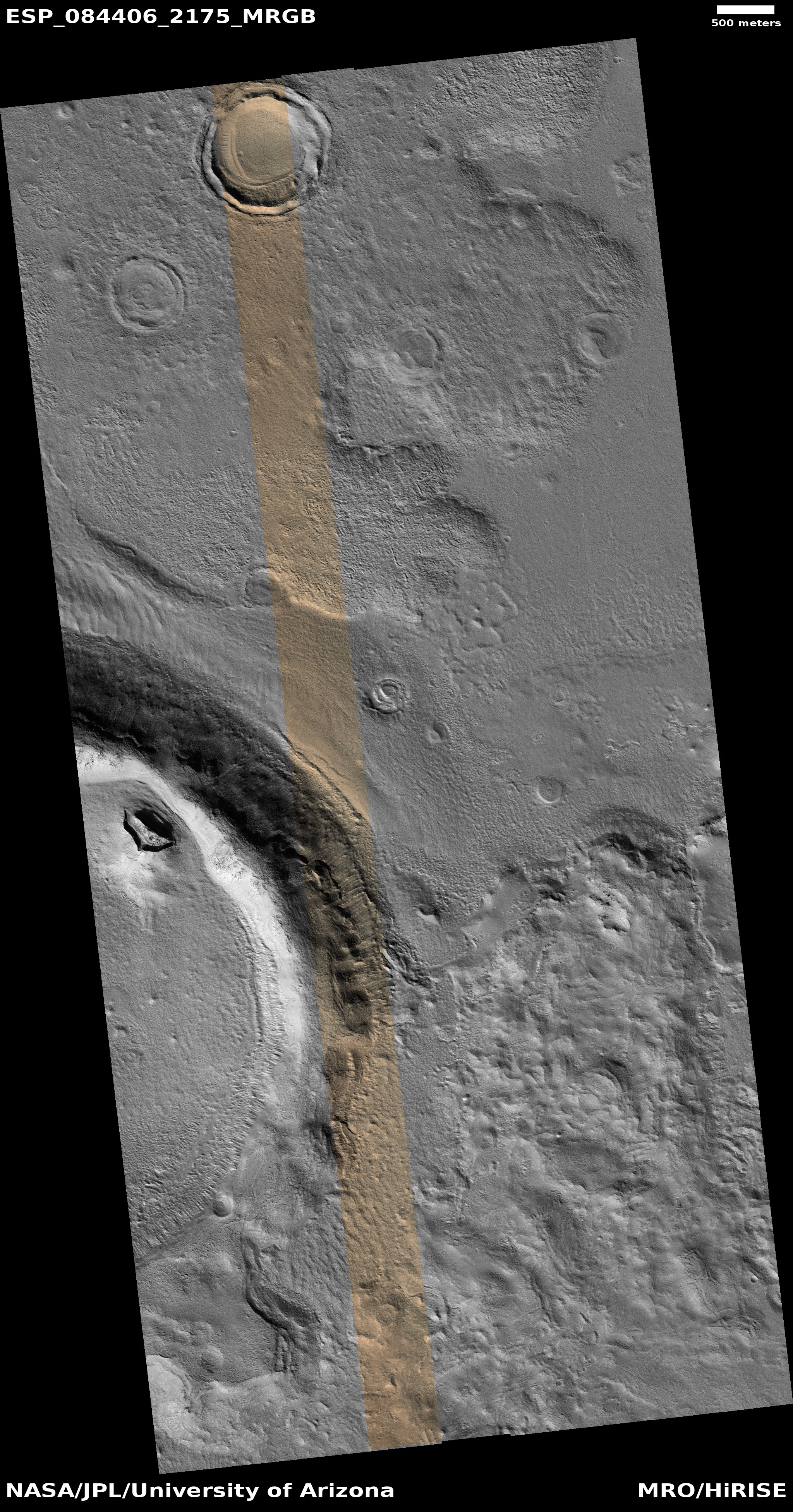
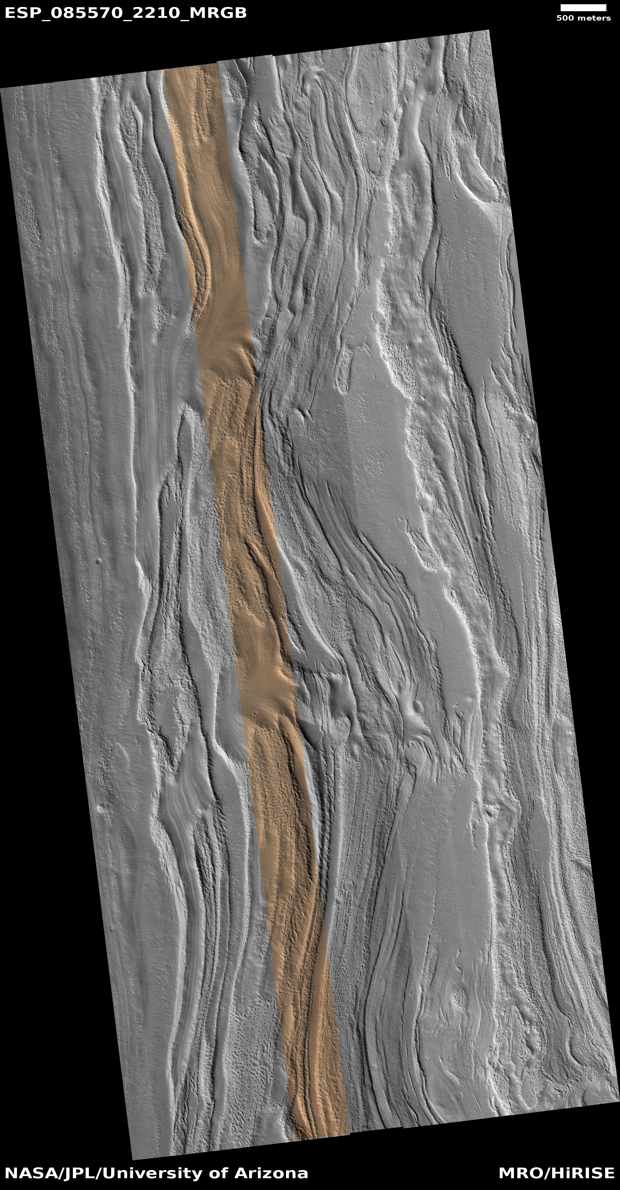
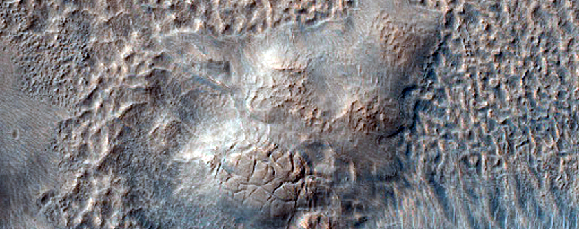
Cool image time! The picture to the right, cropped, reduced, and sharpened to post here, was taken on October 31, 2024 by the high resolution camera on Mars Reconnaissance Orbiter (MRO).
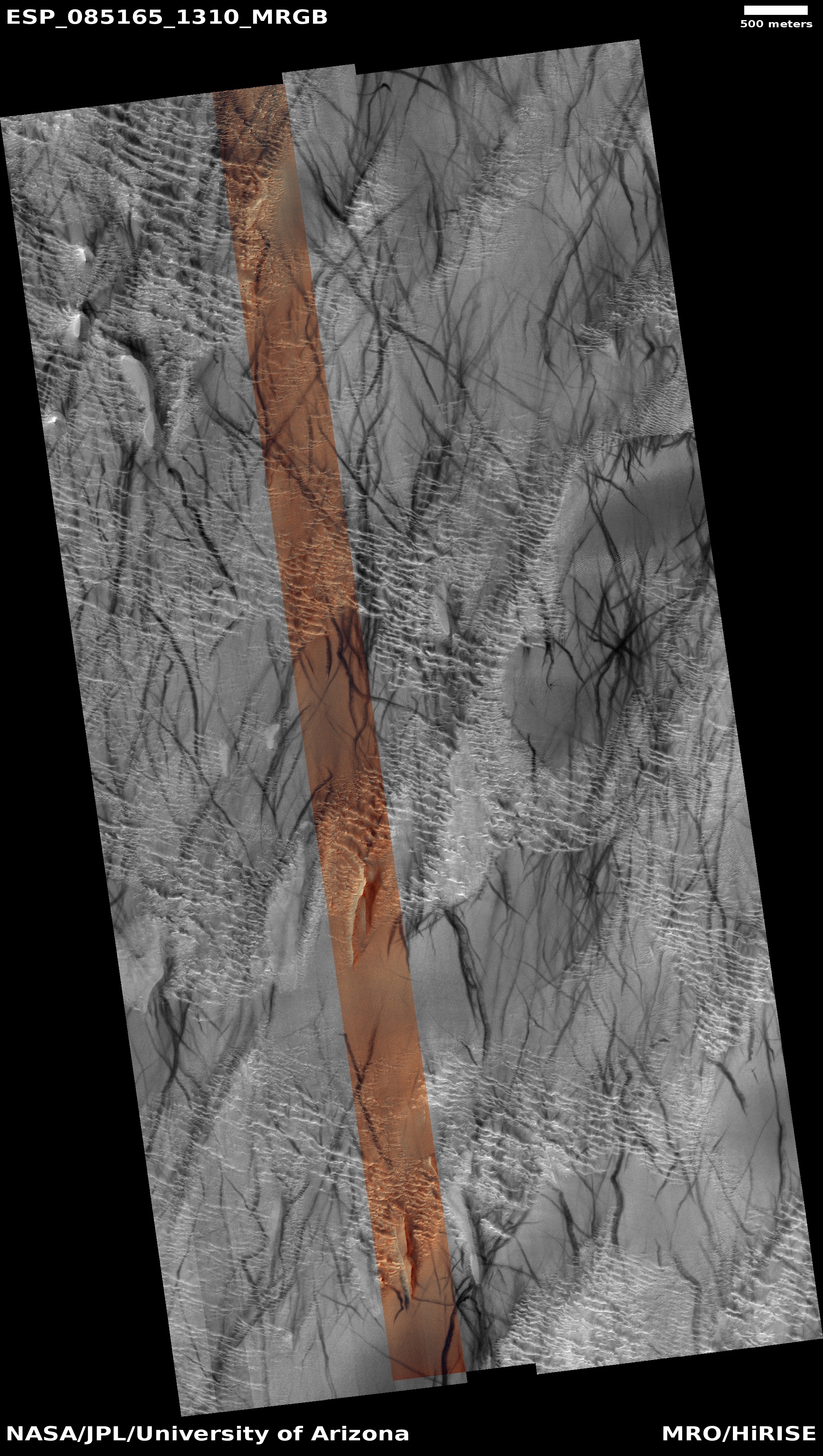
The science team labels this “Impact Ejecta with Marginal Pits,” though even on the full image I am not sure what the impact ejecta is. The pits themselves appear to have formed when near-surface ice sublimated away during the summer months. The location is at 59 degrees north latitude, deep within the Martian northern lowland plains. Since orbital data suggests much of those plains at this latitude has an ice table of some thickness near the surface, it is very reasonable to assume these pits formed when summer sunlight heated that ice, turning it to gas which eventually pushed out to form the pits.
But what about the impact ejecta? Where is it? And where is the crater from that impact?
» Read more
Click for original image.
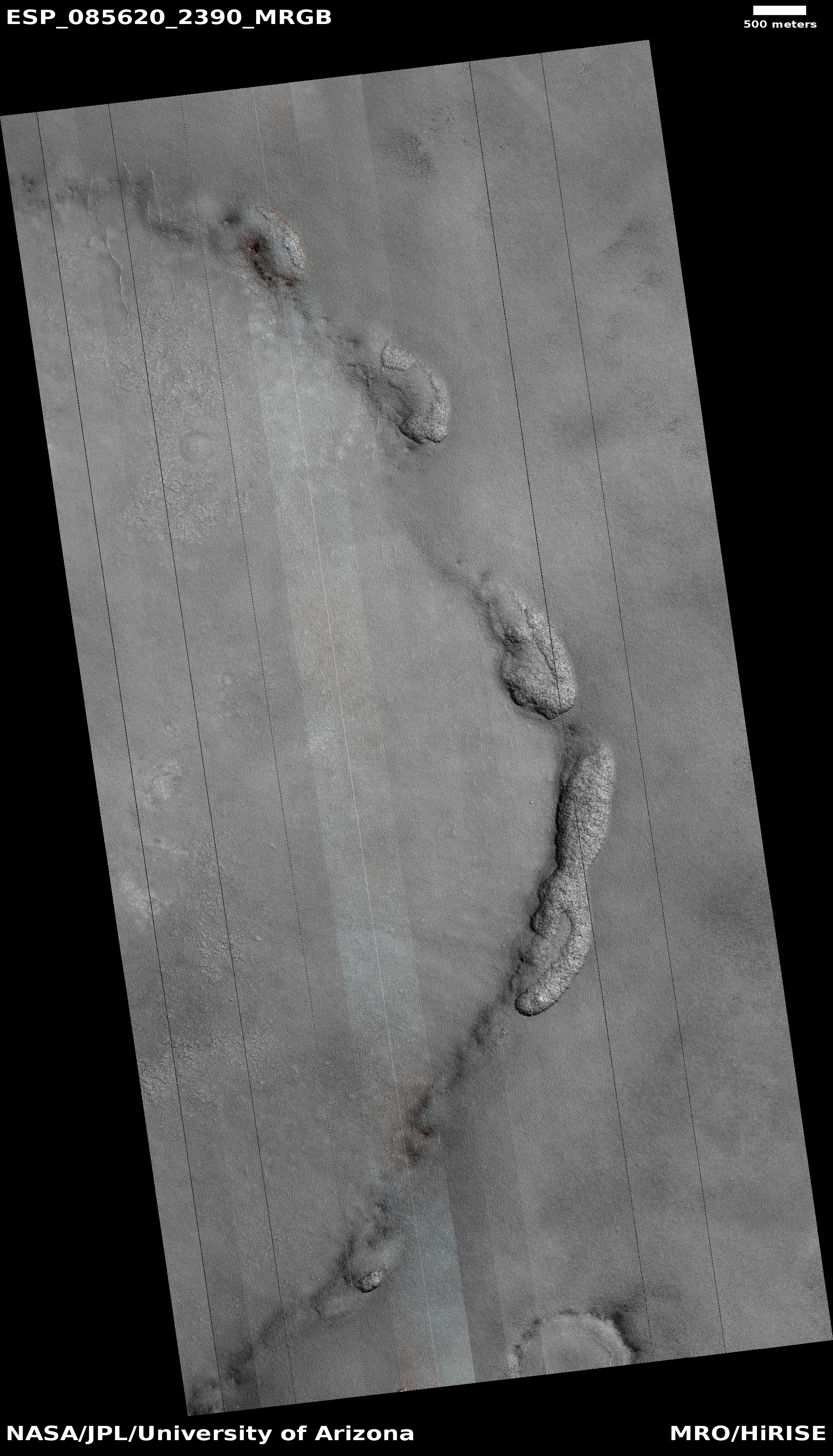
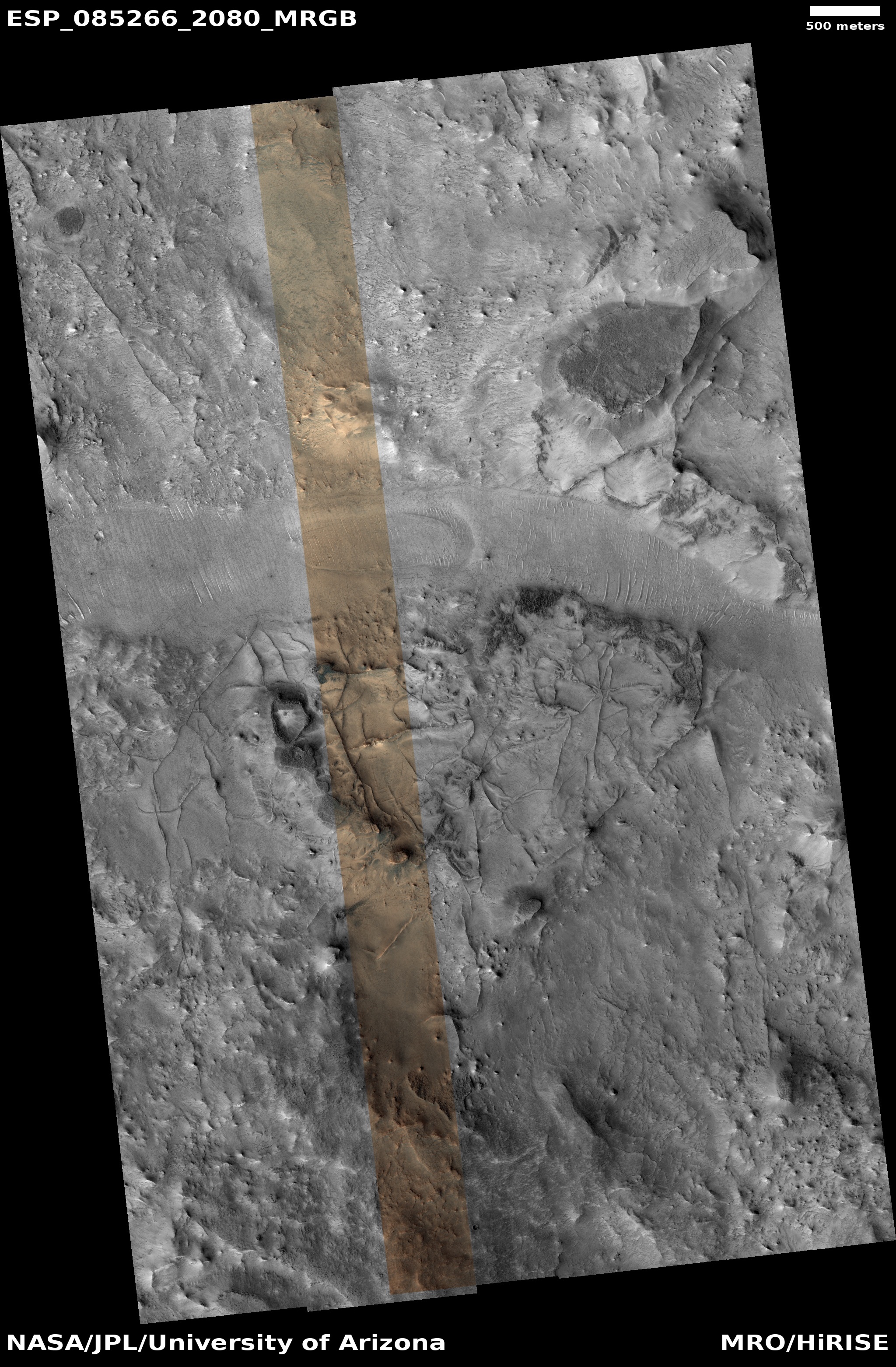
Cool image time! The picture to the right, cropped, reduced, and sharpened to post here, was taken on October 31, 2024 by the high resolution camera on Mars Reconnaissance Orbiter (MRO).
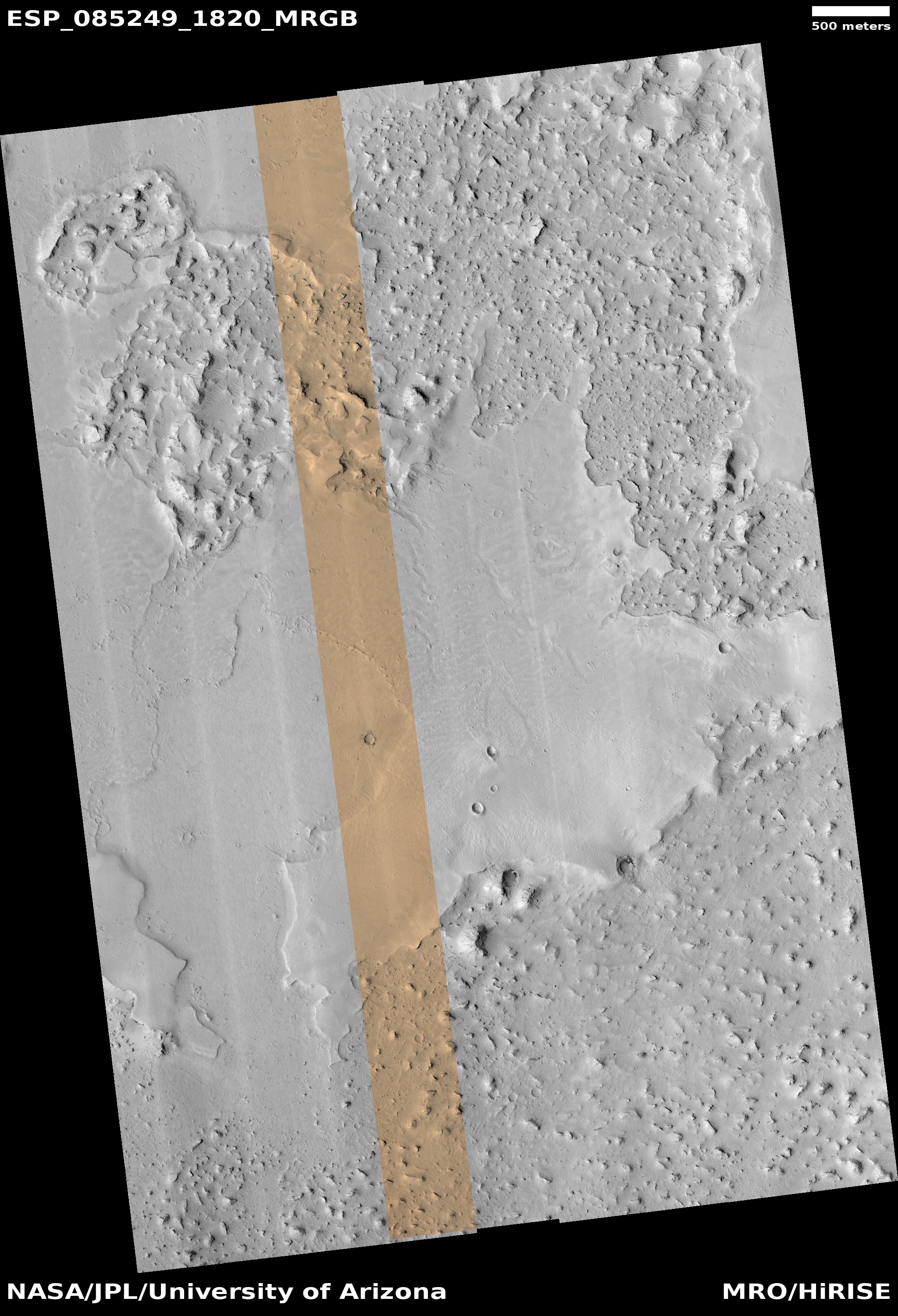
The science team labels this “Impact Ejecta with Marginal Pits,” though even on the full image I am not sure what the impact ejecta is. The pits themselves appear to have formed when near-surface ice sublimated away during the summer months. The location is at 59 degrees north latitude, deep within the Martian northern lowland plains. Since orbital data suggests much of those plains at this latitude has an ice table of some thickness near the surface, it is very reasonable to assume these pits formed when summer sunlight heated that ice, turning it to gas which eventually pushed out to form the pits.
But what about the impact ejecta? Where is it? And where is the crater from that impact?
» Read more


