
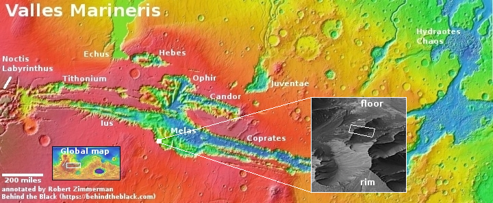
A land of buttes on Mars
Click for original image.
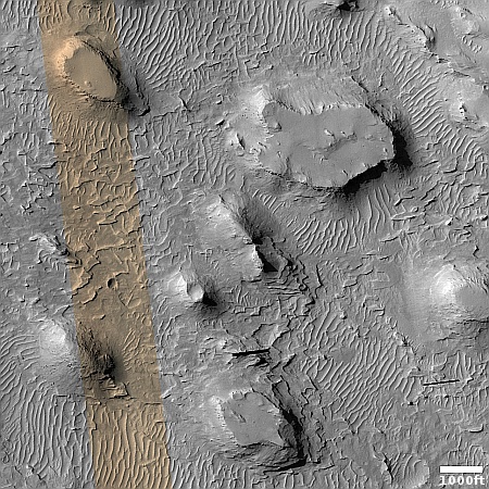
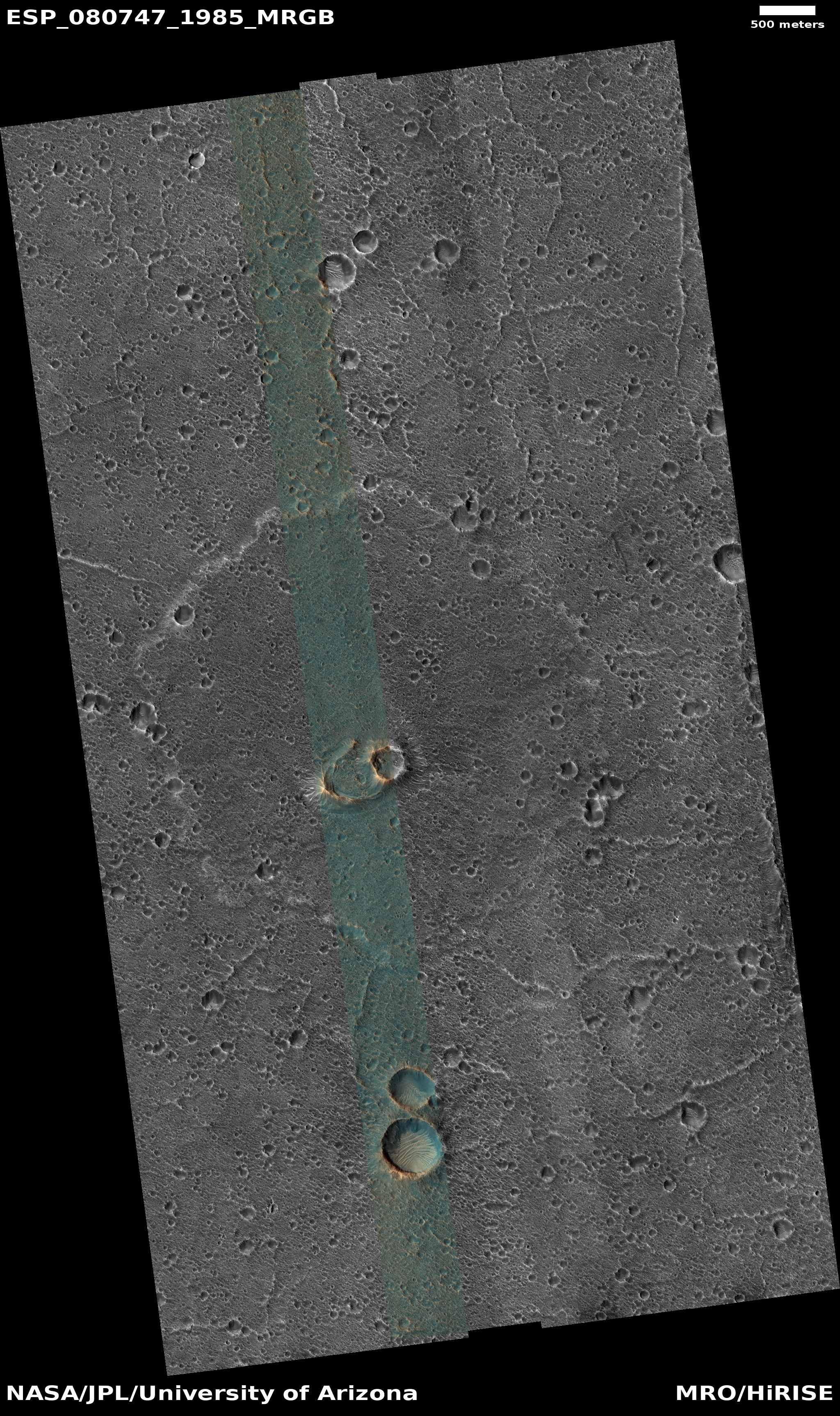
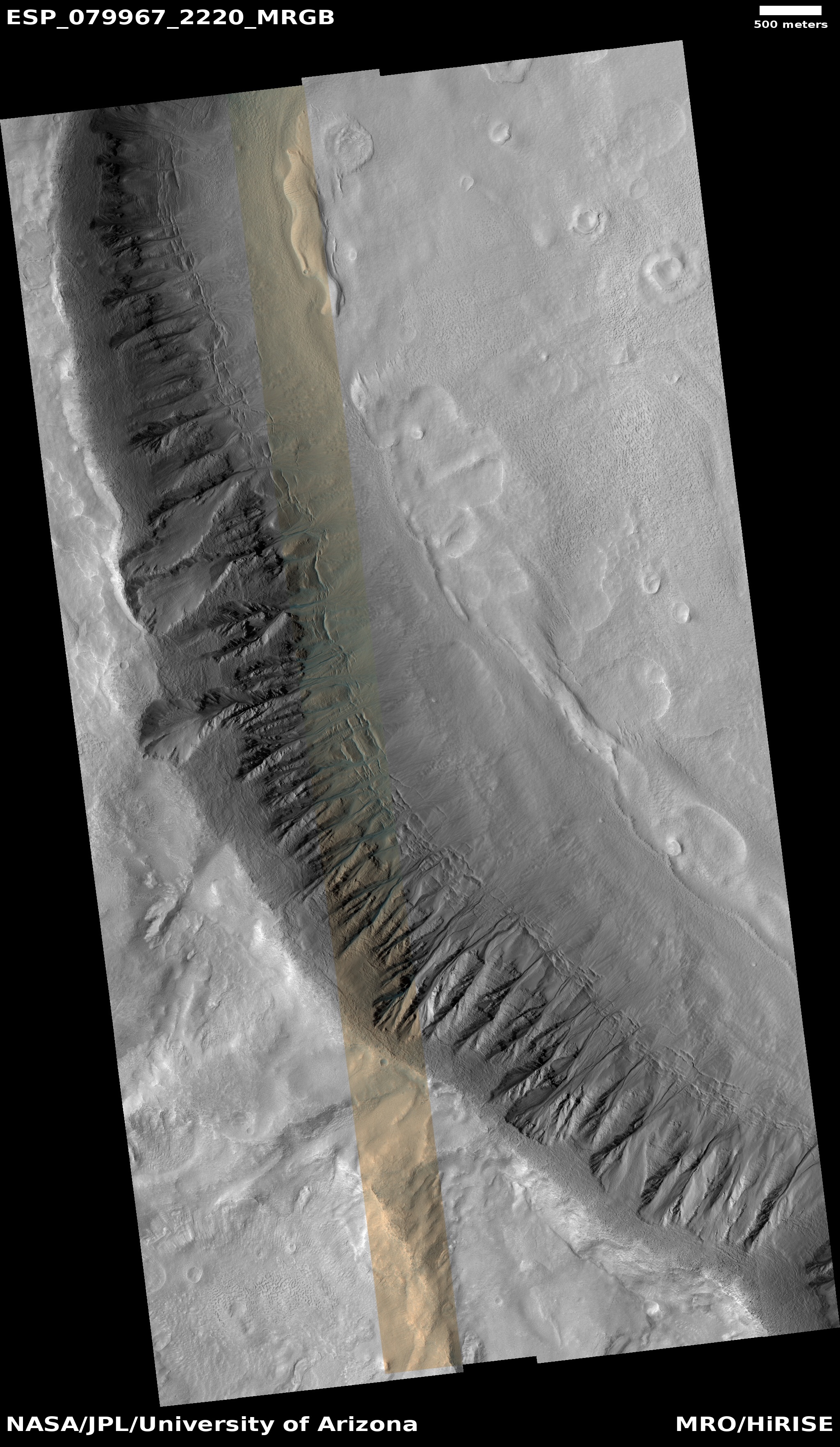
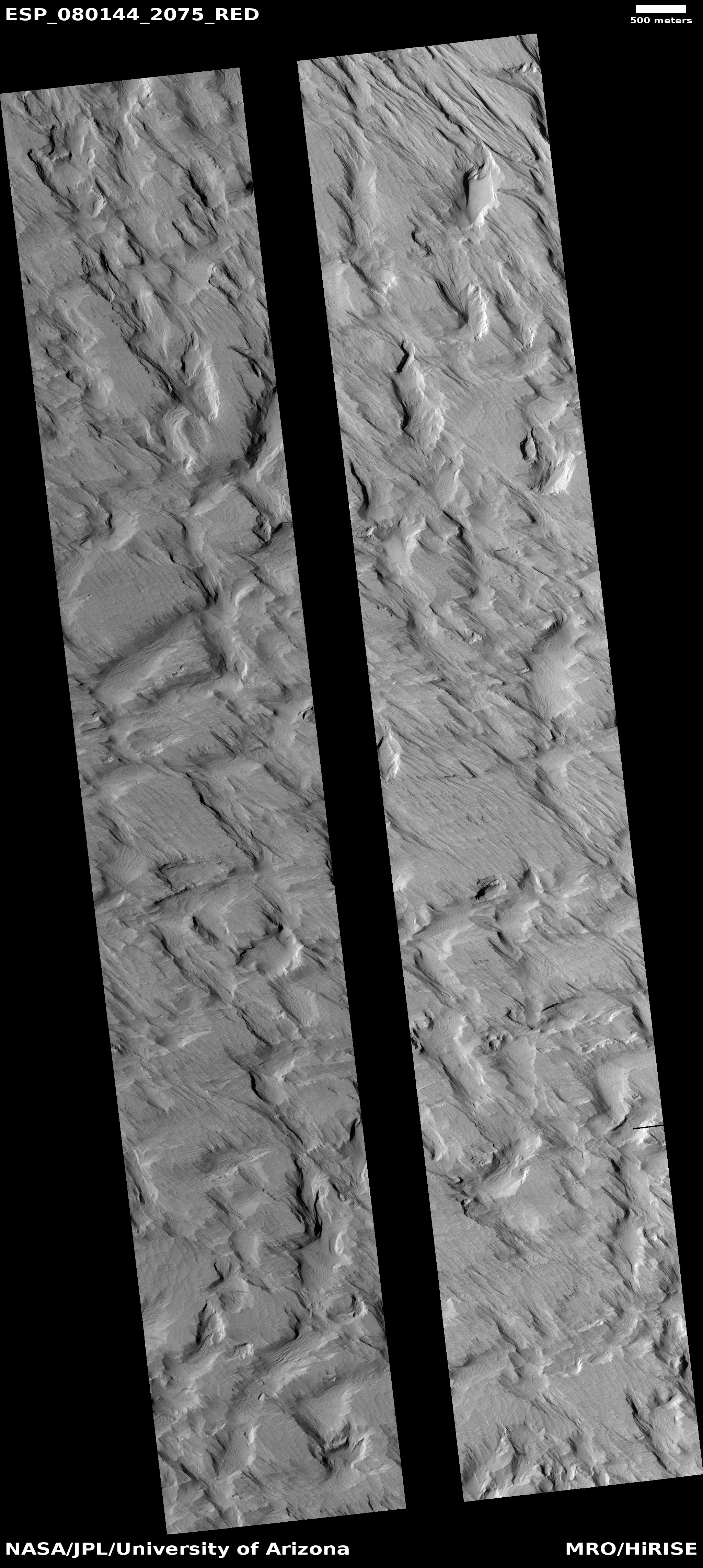
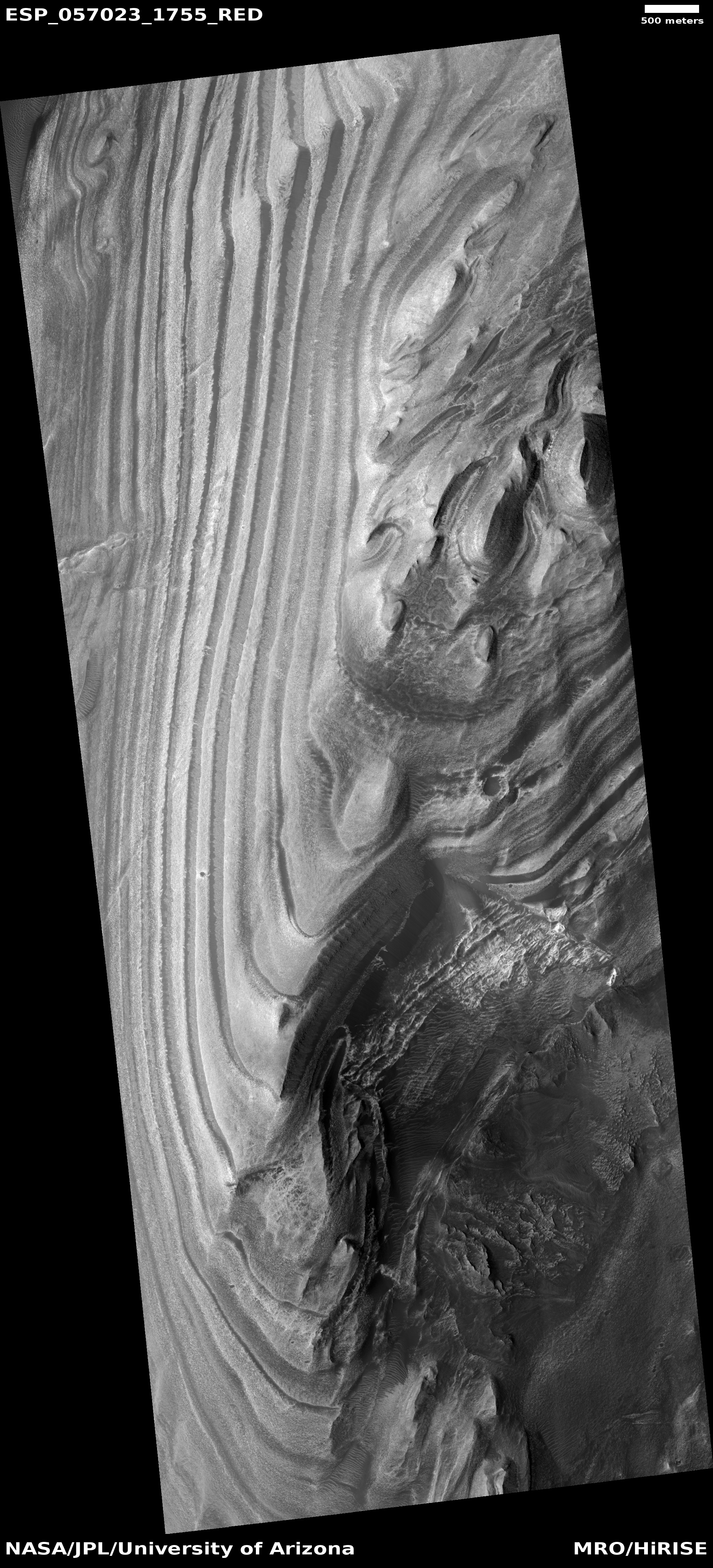
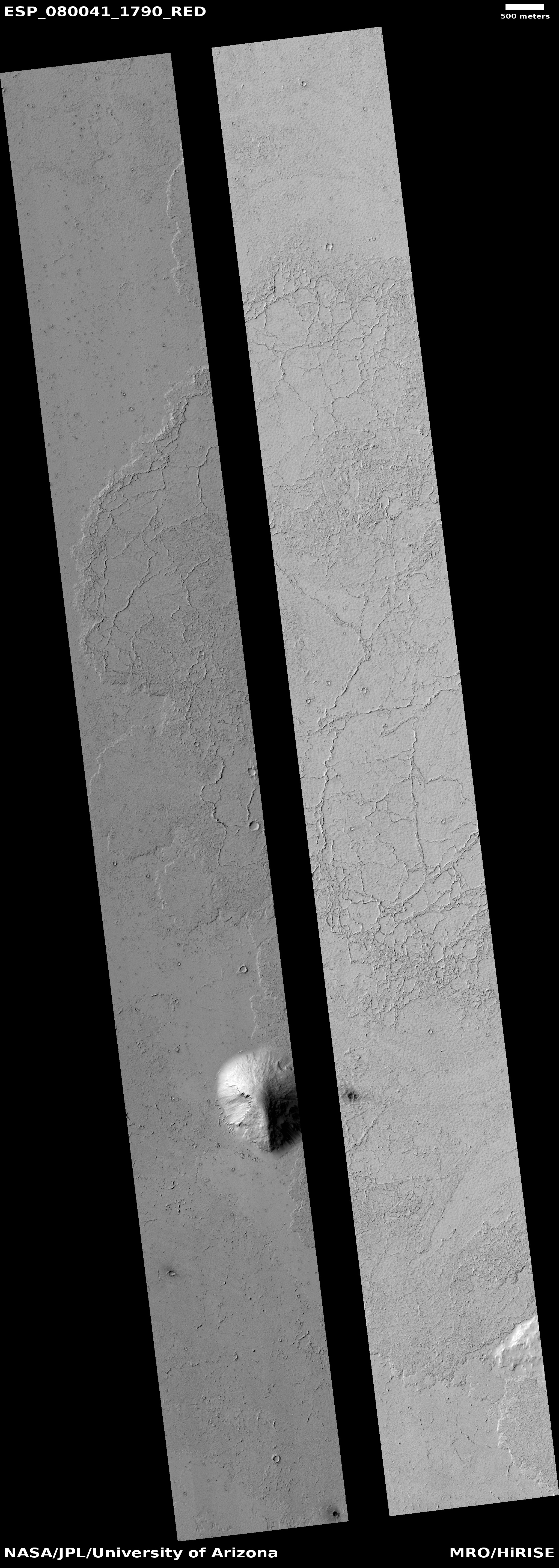
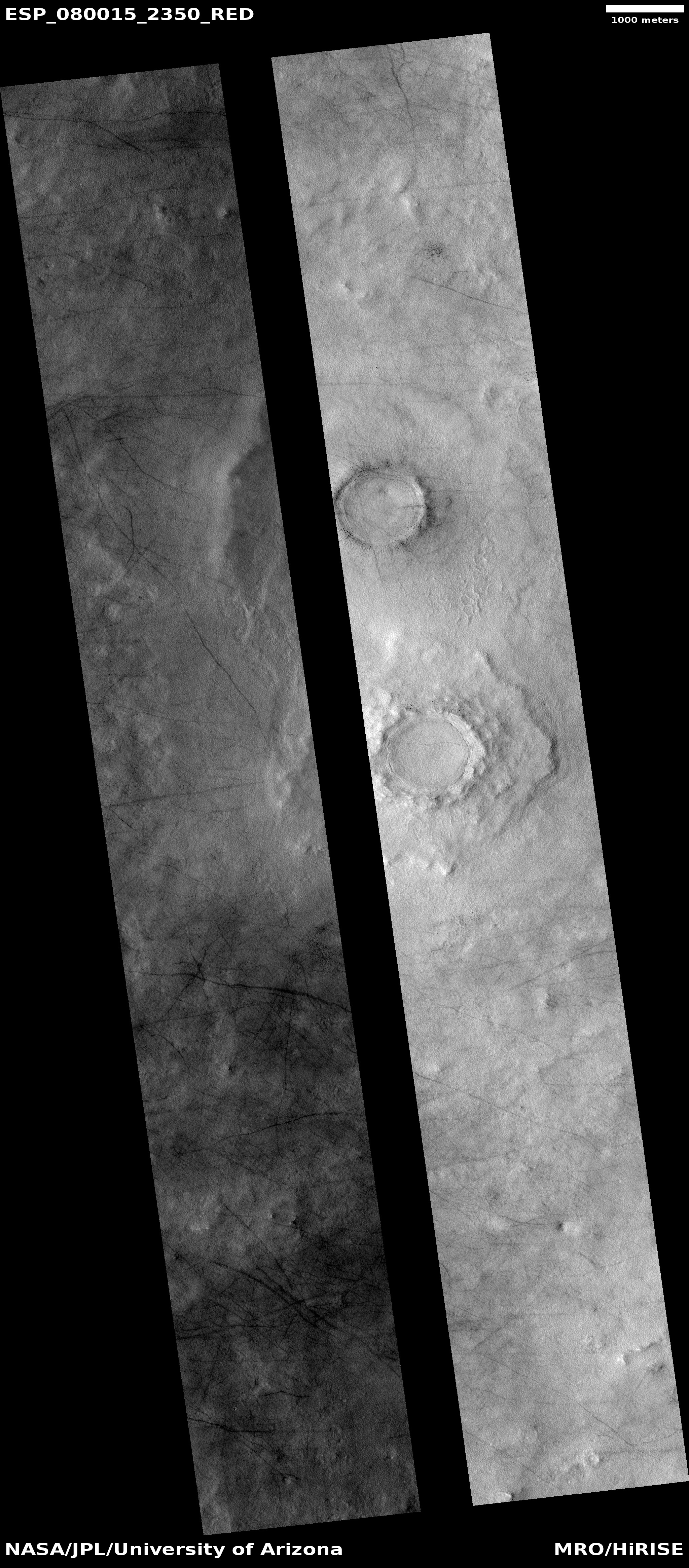
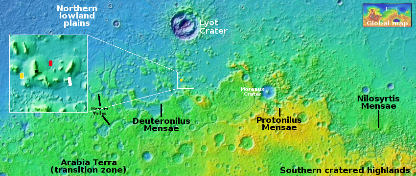
Cool image time! The picture to the right, cropped, reduced, and sharpened to post here, was taken on October 4, 2023 by the high resolution camera on Mars Reconnaissance Orbiter (MRO). Labeled a “terrain sample” by the science team, it was likely shot not as part of any specific research project but to fill a gap in the schedule so as to maintain the camera’s proper temperature. When the camera team has to do this they try to pick targets that are of some interest. Usually they succeed, considering the enormous gaps we presently have of Mars’ geological history.
This picture is no different. It shows a land of buttes and mesas, all ranging from 20 to 200 feet high, surrounded by canyons filled with ripple dunes of Martian dust. If you look at the floor of those canyons closely, you will notice that where there are no ripple dunes the ground is slightly higher and smooth. It is as if that ground was a kind of sandstone that was eroded away by wind into sand, which then formed the dunes.
» Read more

Click for original image.
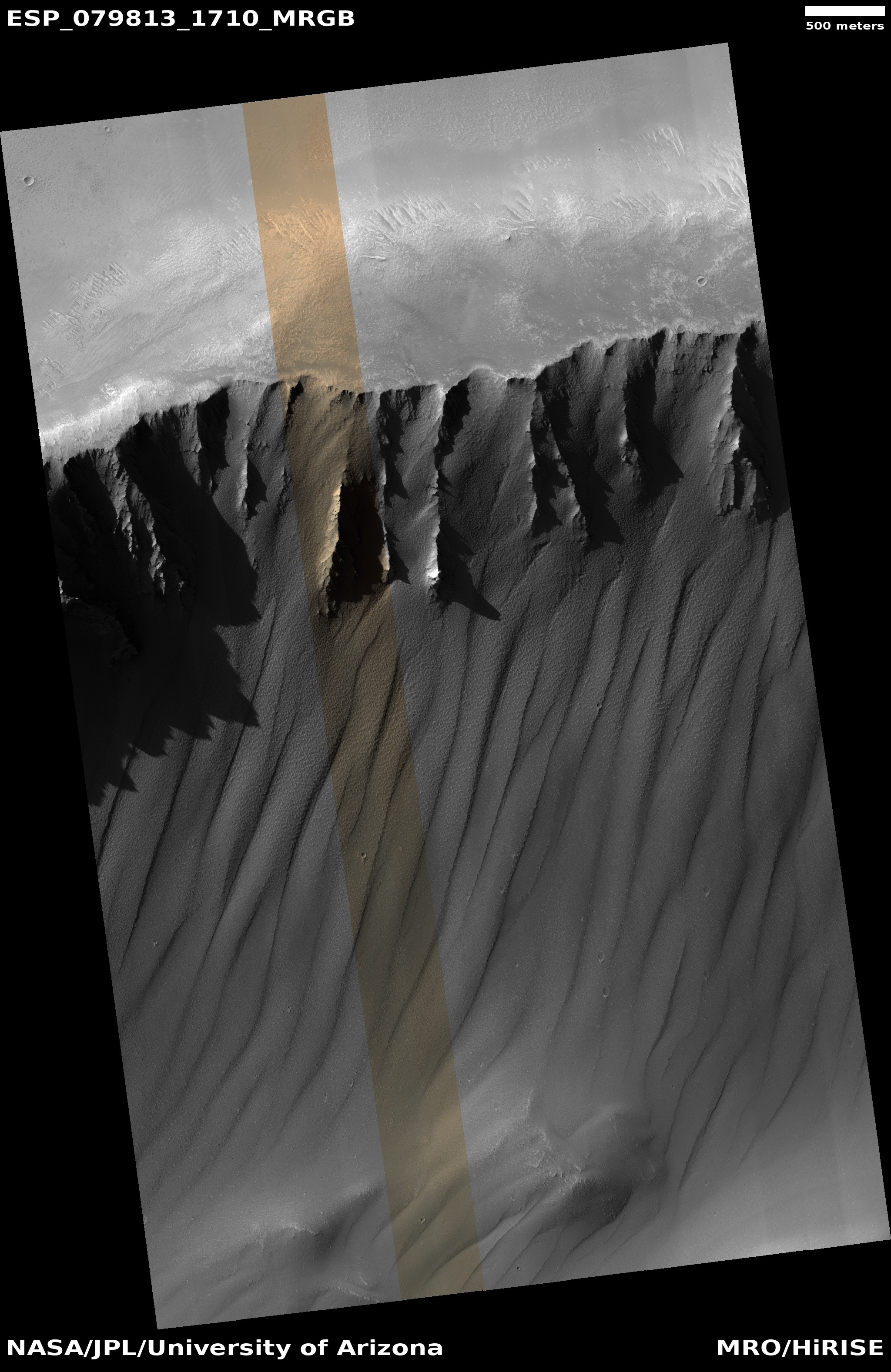
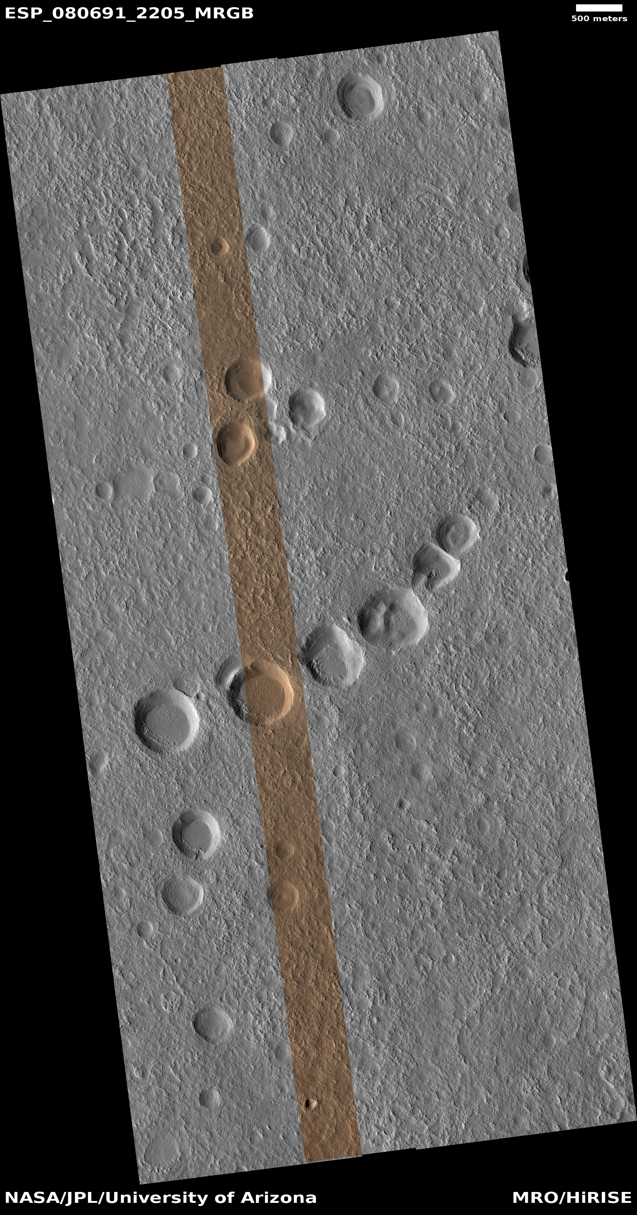
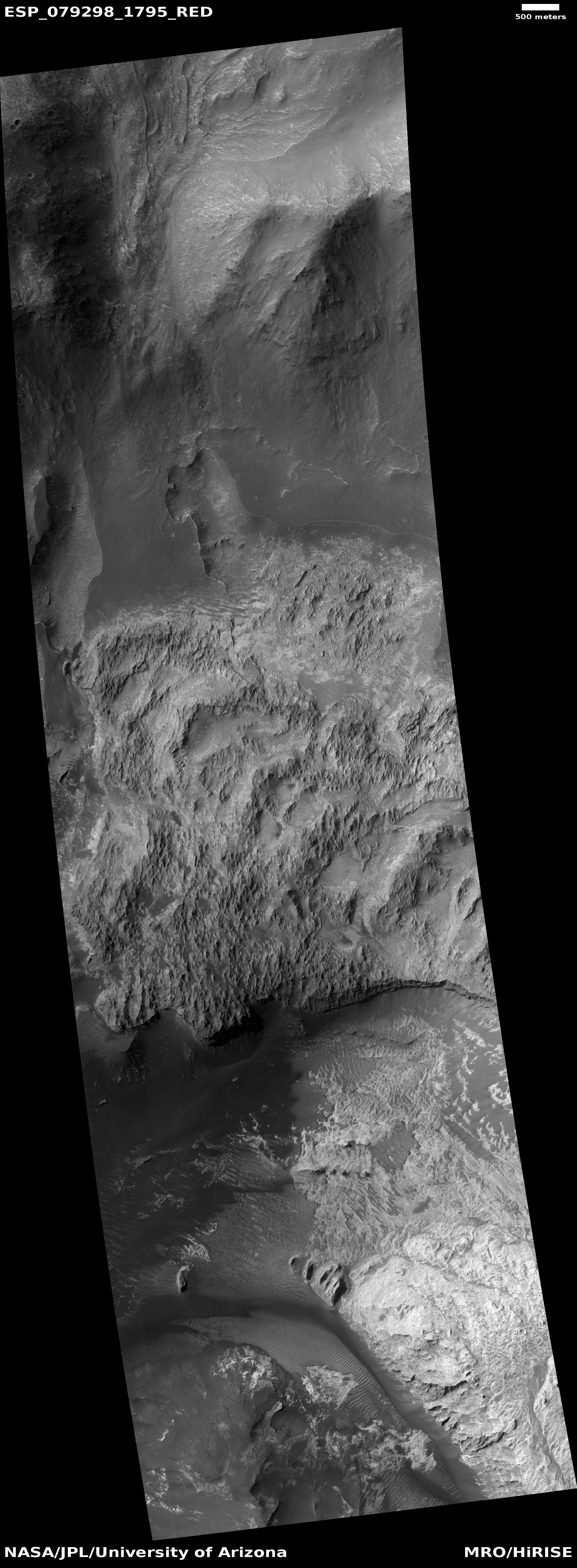
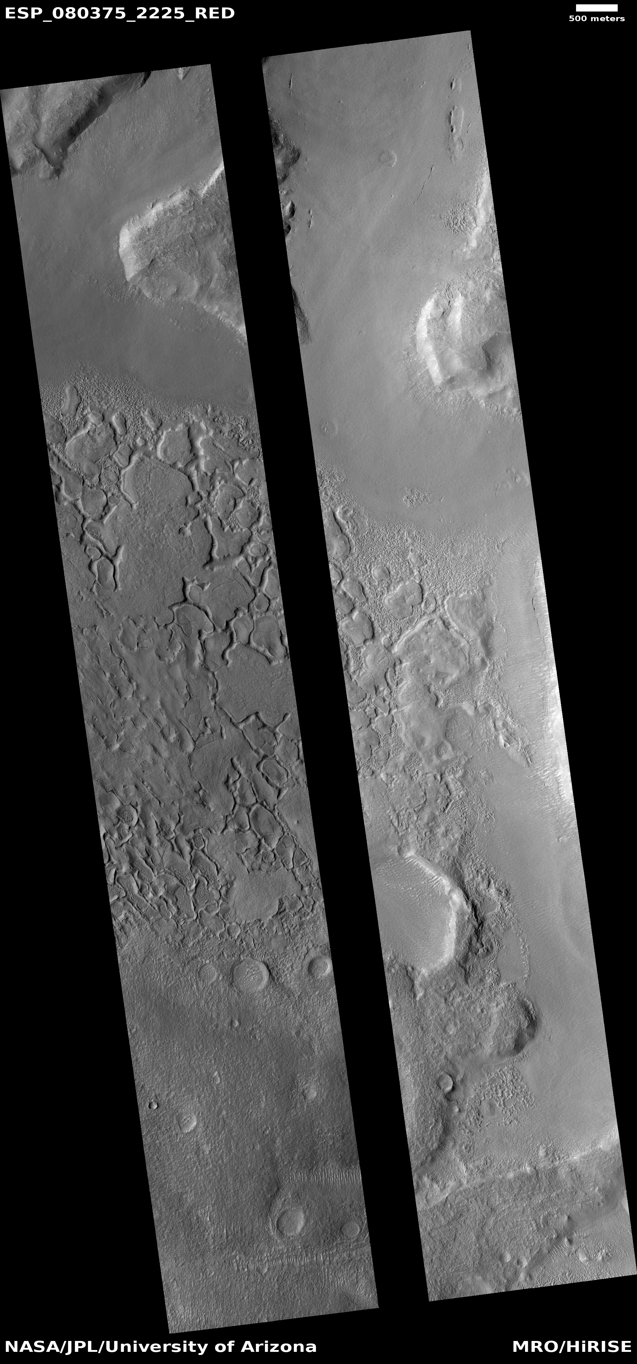
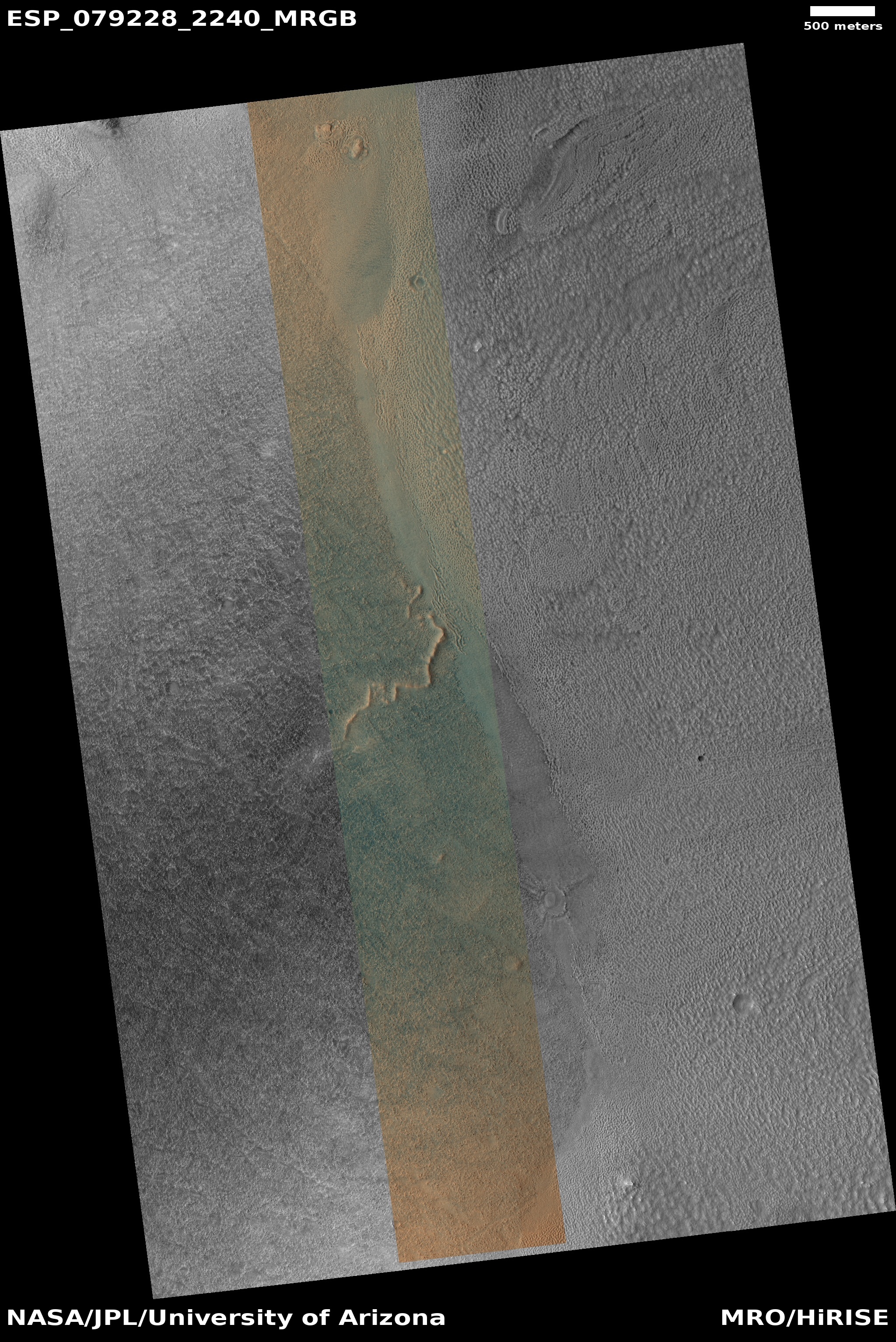
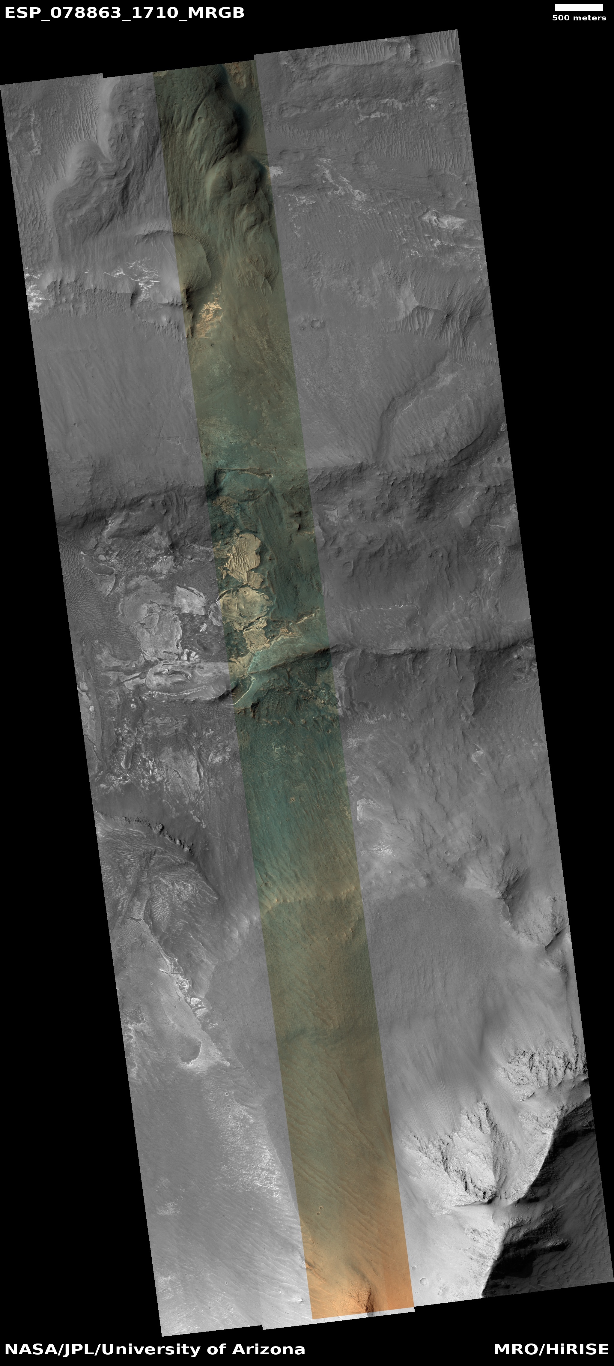
Cool image time! The picture to the right, cropped, reduced, and sharpened to post here, was taken on October 4, 2023 by the high resolution camera on Mars Reconnaissance Orbiter (MRO). Labeled a “terrain sample” by the science team, it was likely shot not as part of any specific research project but to fill a gap in the schedule so as to maintain the camera’s proper temperature. When the camera team has to do this they try to pick targets that are of some interest. Usually they succeed, considering the enormous gaps we presently have of Mars’ geological history.
This picture is no different. It shows a land of buttes and mesas, all ranging from 20 to 200 feet high, surrounded by canyons filled with ripple dunes of Martian dust. If you look at the floor of those canyons closely, you will notice that where there are no ripple dunes the ground is slightly higher and smooth. It is as if that ground was a kind of sandstone that was eroded away by wind into sand, which then formed the dunes.
» Read more


