
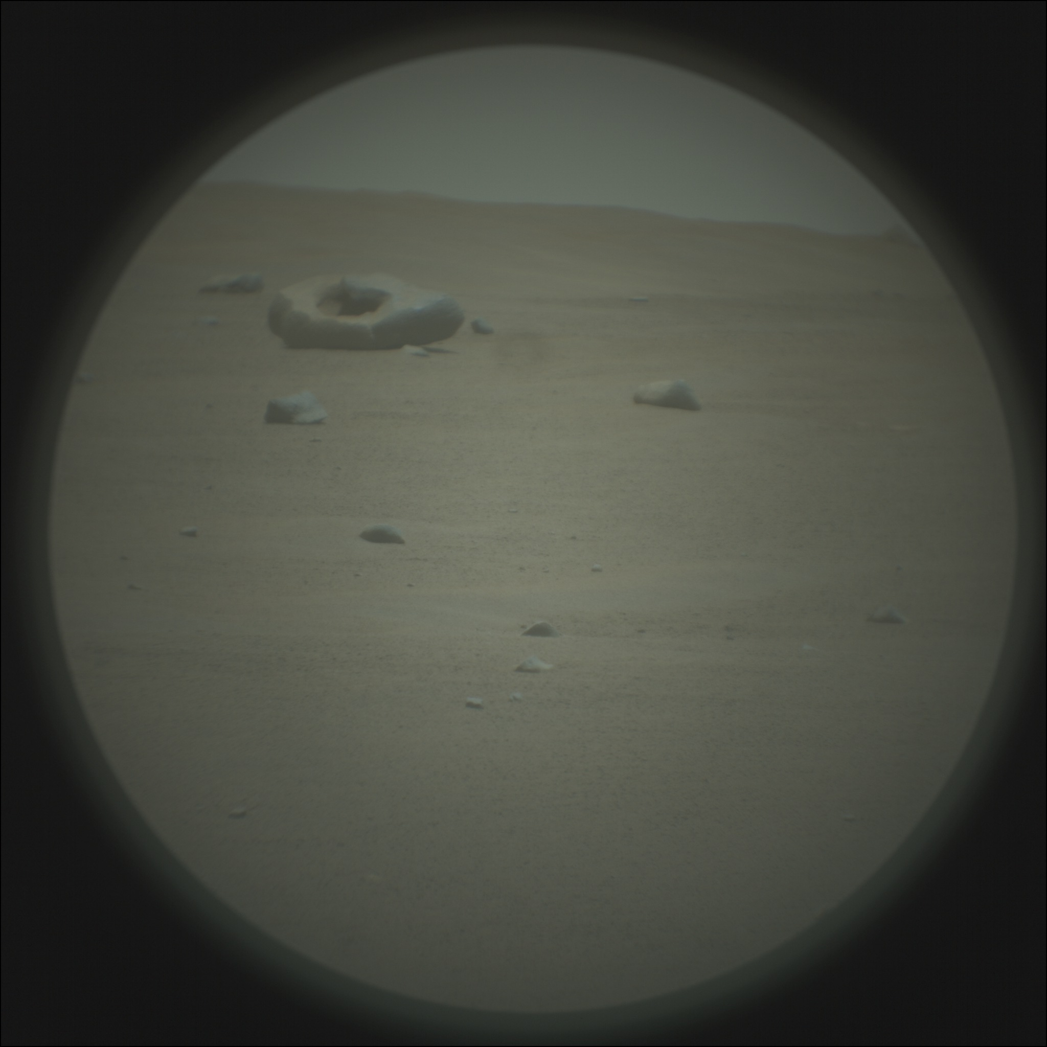
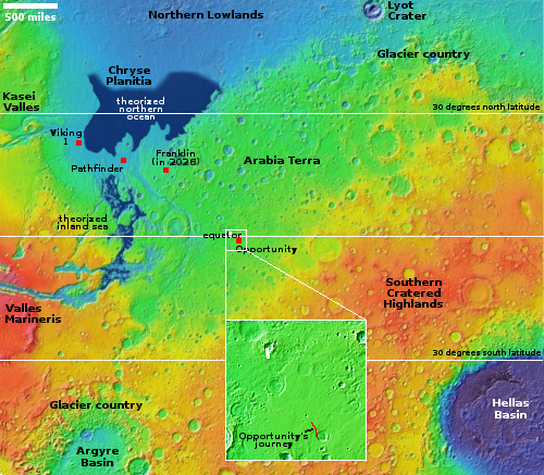
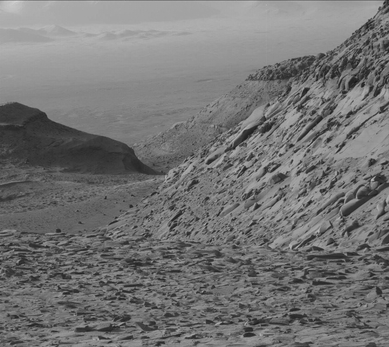
Zhurong found Mars drier than expected and less eroded than the Moon
According to a new paper, Chinese scientists using data from their Zhurong Mars rover have found little or no evidence of water in the immediate underground, while also finding the surface less eroded than the surface on the Moon.
A layer of regolith covers the surface of Mars, which is the result of geologic processes that occurred over millions to billions of years. Compared to the observations from satellites, the Zhurong rover of China’s first Mars mission (Tianwen-1) had a closer look at the properties of the regolith layer in the explored region within southern Utopia Planitia. There is evidence that the exposed materials might be related to aqueous activities. Local landforms on the surface suggest the possible presence of buried volatiles, like water ice. The radar instrument (RoPeR) on board the rover can expose subsurface structures and the dielectric properties of the regolith layer at high-resolution, to assess their composition. The loss tangent results suggest that water ice is not the main component of the local martian regolith at some depth. The scattering distribution of radar profile along the traveling path and heterogeneous subsurface features show more diverse surface processes and weaker space weathering effects on Mars than those on the airless Moon.
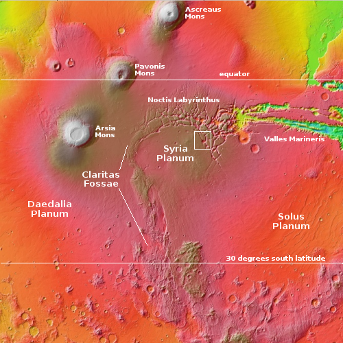
Since Zhurong landed in the equatorial regions, its data about the lack of water simply confirmed other data from orbit and from other rovers/landers. Though there are features even here that suggest the presence of water, that water made those features a long time ago, and is now gone.
The data suggesting the regolith is less eroded than the Moon, however, is a surprise, and counter-intuitive.
According to a new paper, Chinese scientists using data from their Zhurong Mars rover have found little or no evidence of water in the immediate underground, while also finding the surface less eroded than the surface on the Moon.
A layer of regolith covers the surface of Mars, which is the result of geologic processes that occurred over millions to billions of years. Compared to the observations from satellites, the Zhurong rover of China’s first Mars mission (Tianwen-1) had a closer look at the properties of the regolith layer in the explored region within southern Utopia Planitia. There is evidence that the exposed materials might be related to aqueous activities. Local landforms on the surface suggest the possible presence of buried volatiles, like water ice. The radar instrument (RoPeR) on board the rover can expose subsurface structures and the dielectric properties of the regolith layer at high-resolution, to assess their composition. The loss tangent results suggest that water ice is not the main component of the local martian regolith at some depth. The scattering distribution of radar profile along the traveling path and heterogeneous subsurface features show more diverse surface processes and weaker space weathering effects on Mars than those on the airless Moon.
Since Zhurong landed in the equatorial regions, its data about the lack of water simply confirmed other data from orbit and from other rovers/landers. Though there are features even here that suggest the presence of water, that water made those features a long time ago, and is now gone.
The data suggesting the regolith is less eroded than the Moon, however, is a surprise, and counter-intuitive.


