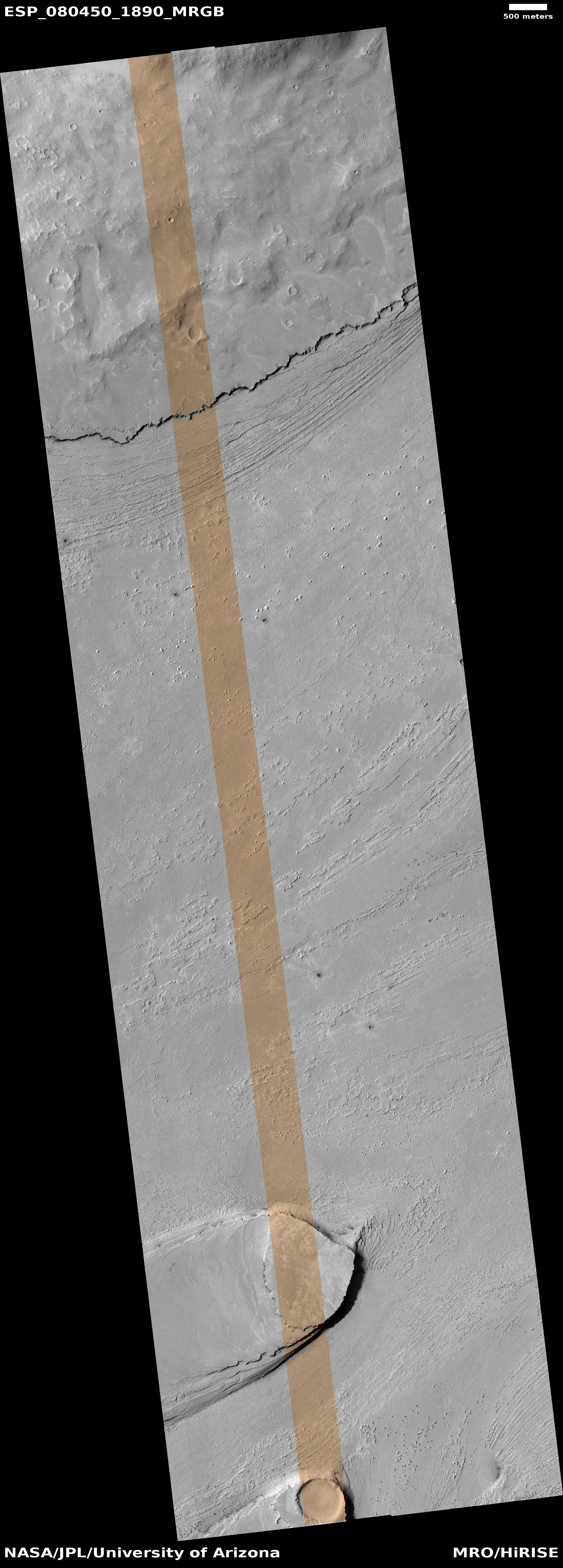
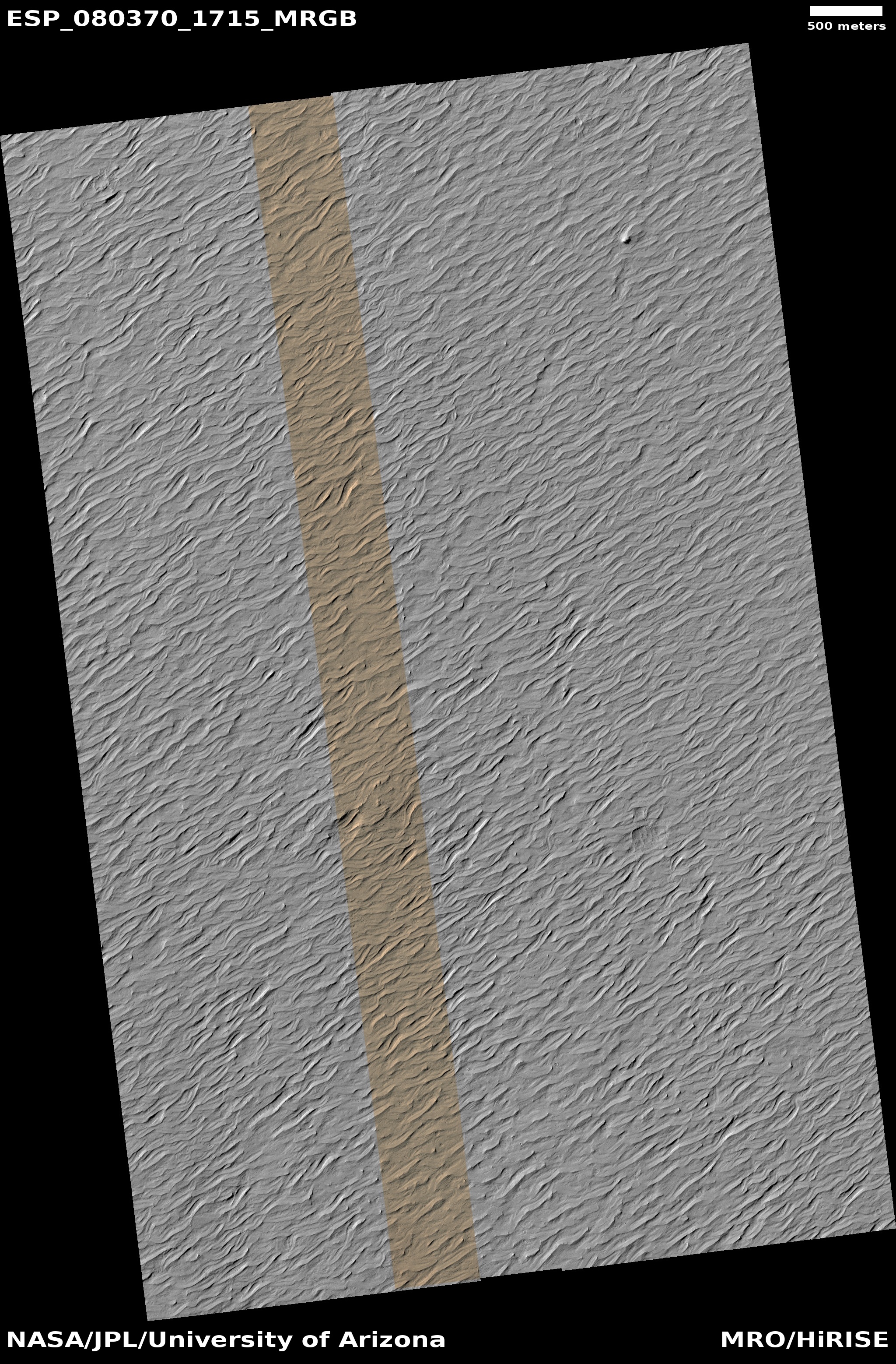
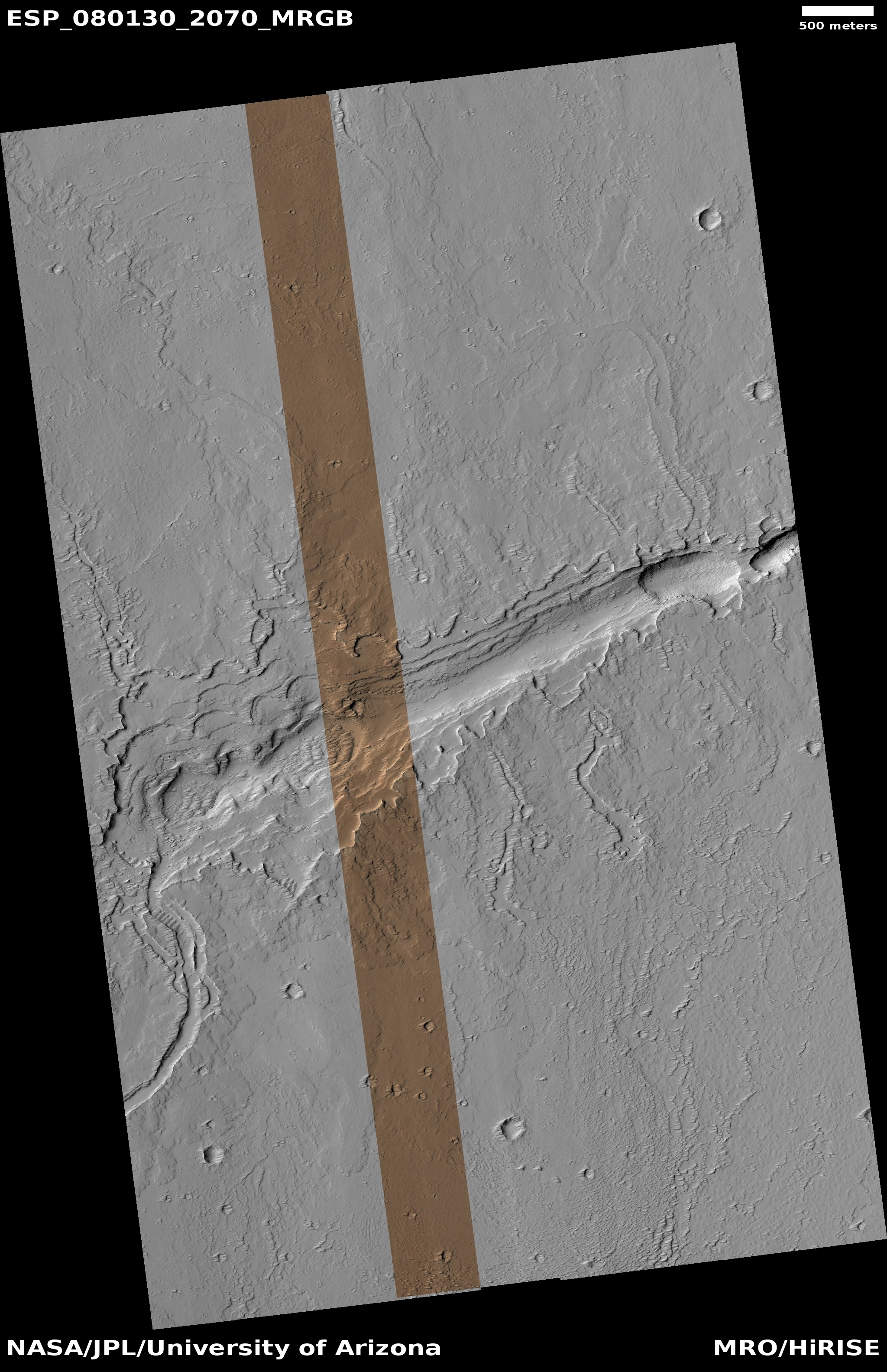
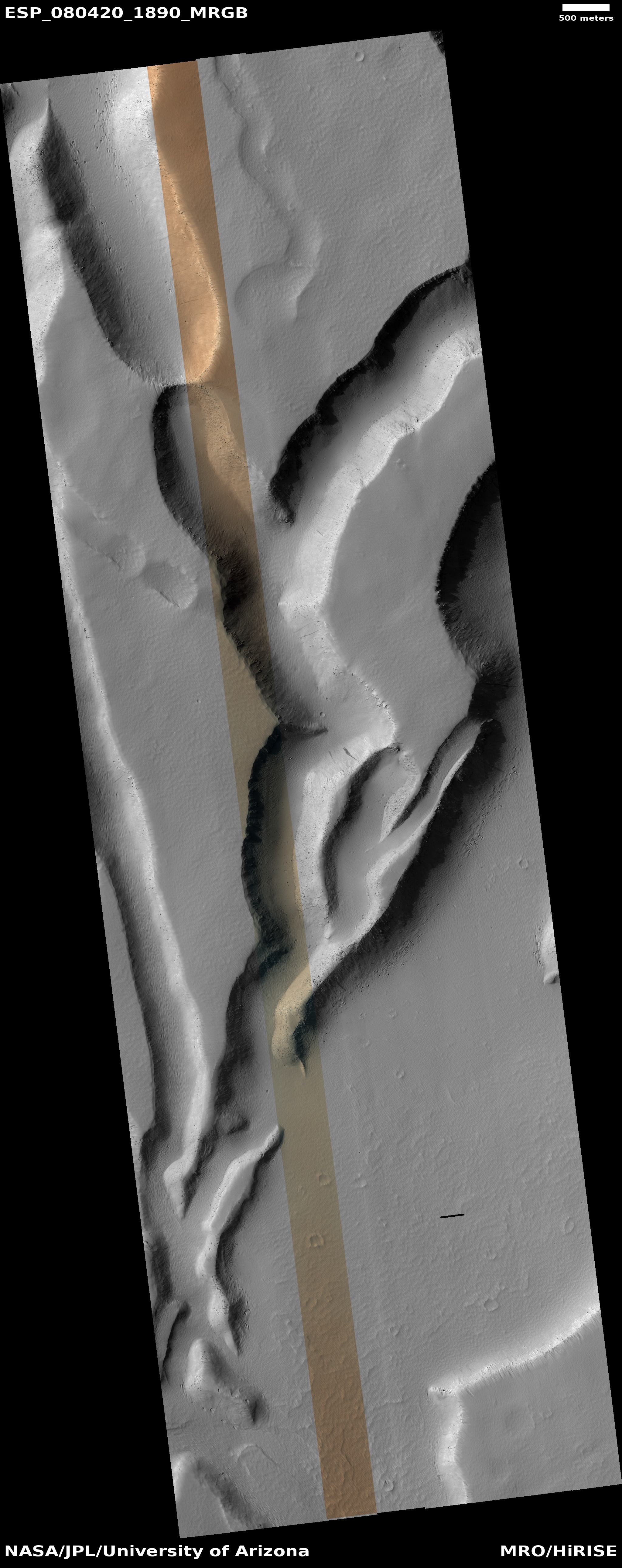
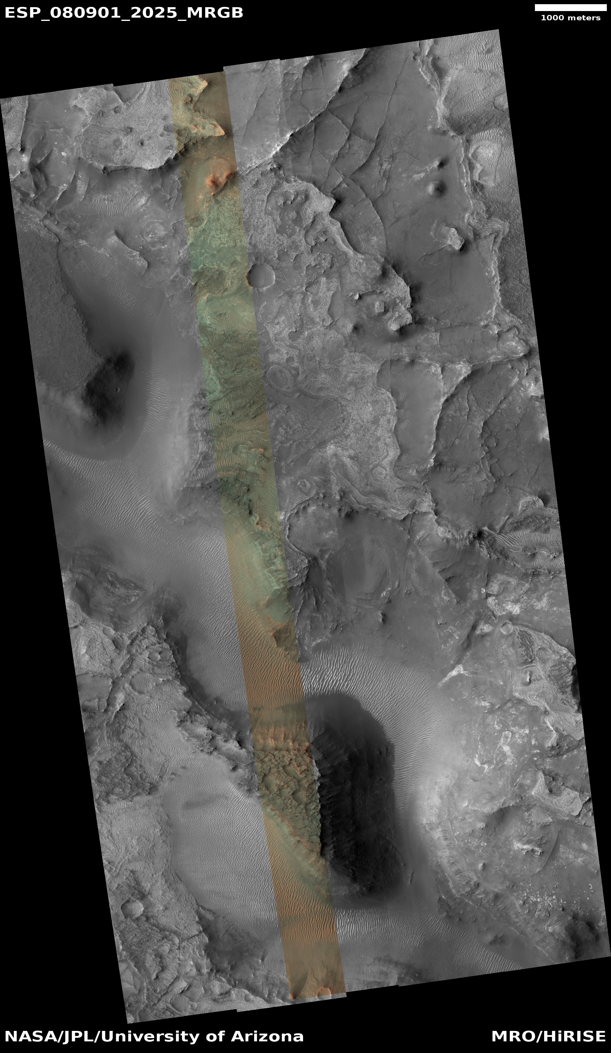
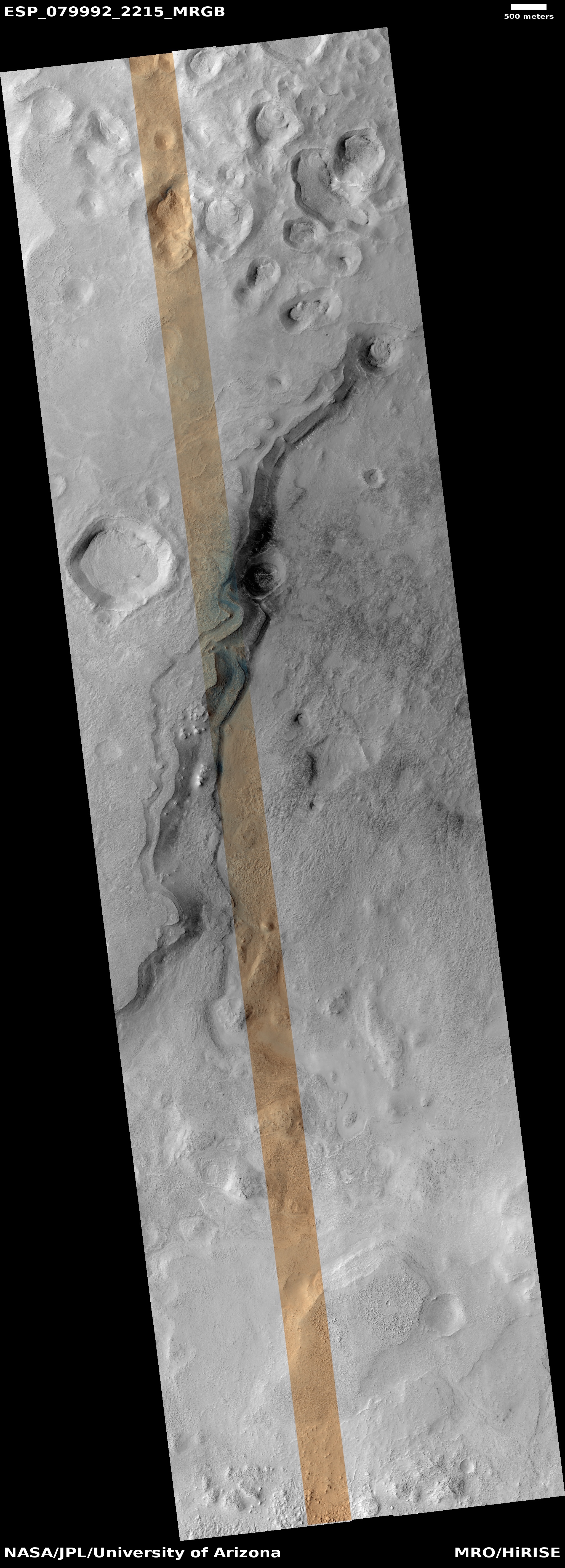
Saw-toothed razor rocks on Mars
Click for original image.
Click for original image.
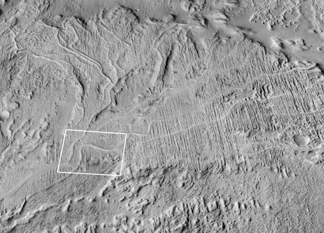
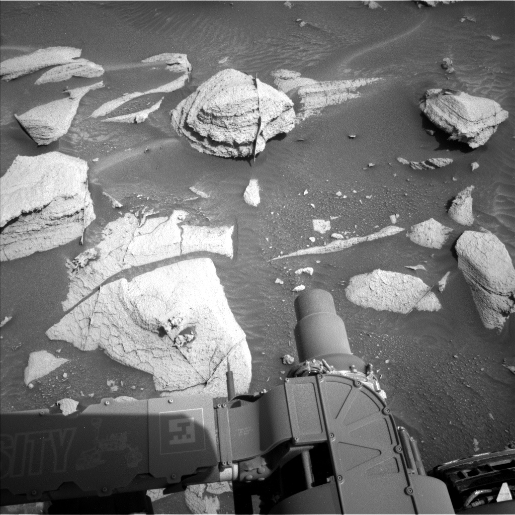
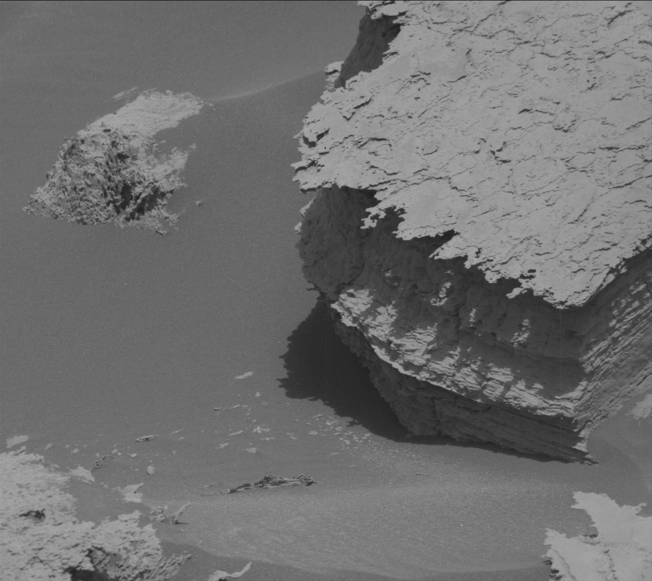
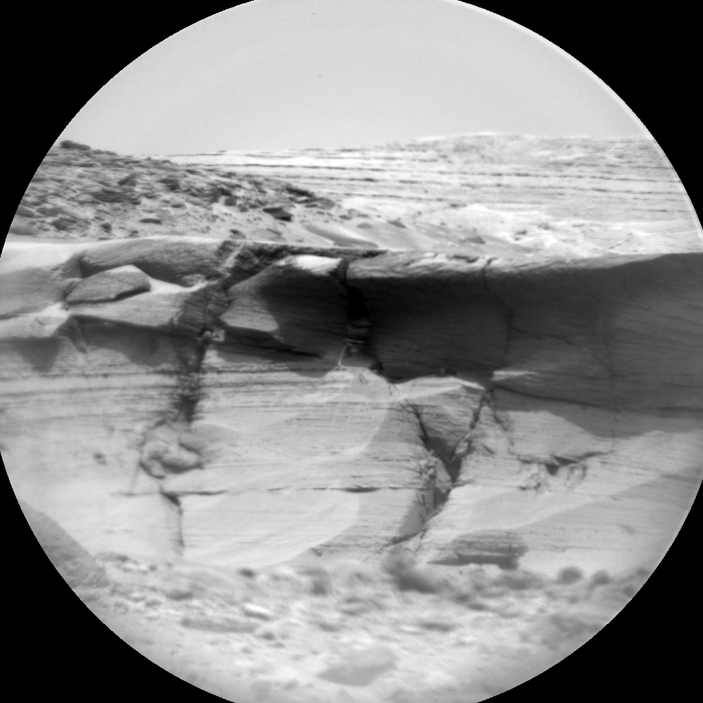
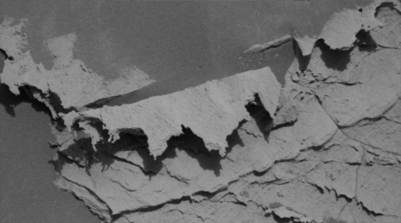
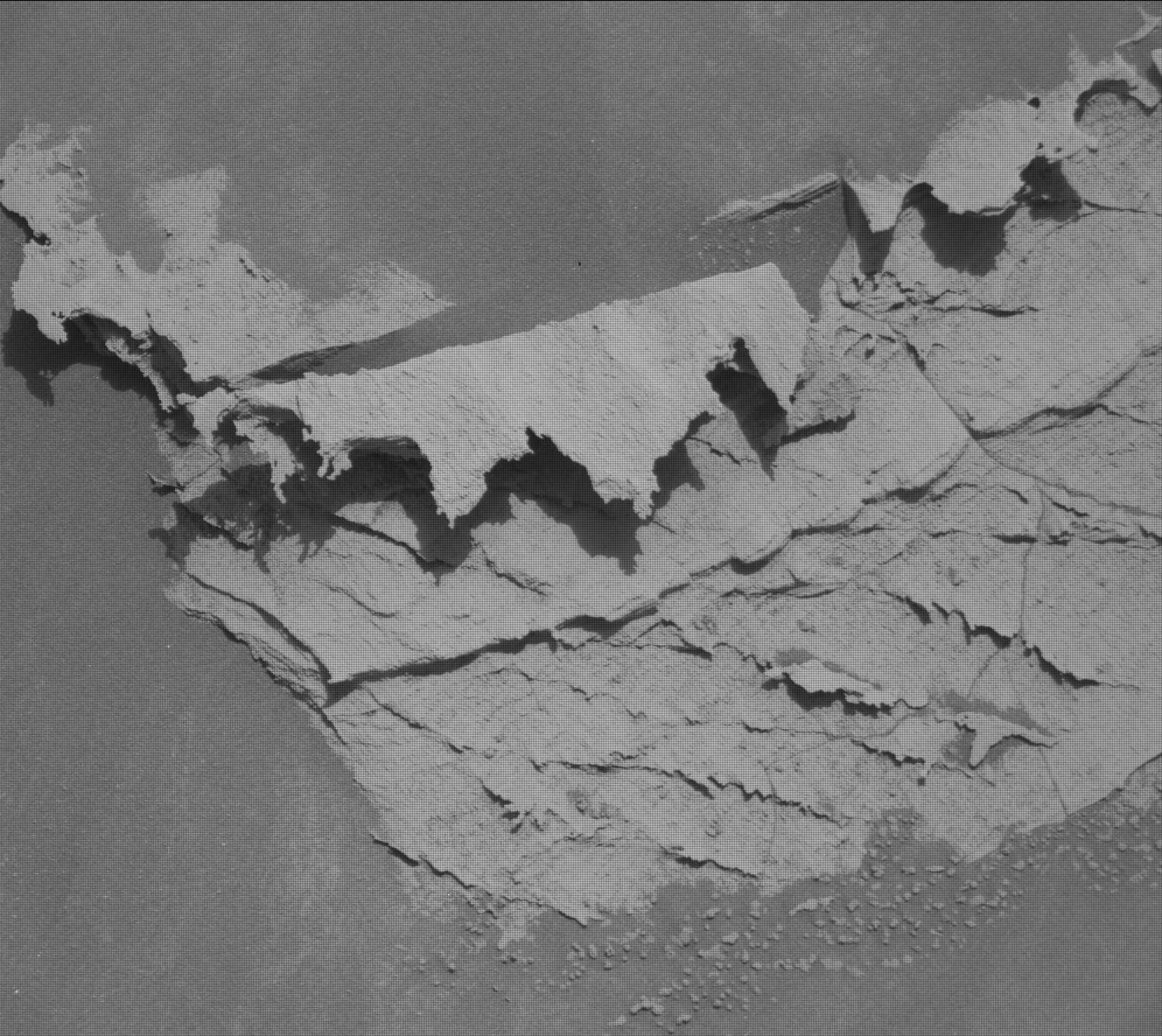
Cool image time! The picture above, cropped and enhanced to post here, was taken on January 22, 2024 by the high resolution camera on the Mars rover Curiosity.
The photo gives us a fine example of the many very strange and delicate formations seen on Martian rocks and boulders as it slowly weaves its way up Mount Sharp, inside the slot canyon Gediz Vallis. On Earth such thin flakes like these are generally only seen inside caves, where there is almost no life to disturb their development and the natural conditions are as benign as well. On Mars, the only thing that can disturb this rock is the wind, and though over time it can erode things the thin atmosphere allows such flakes to form, aided by the gravity about 39% that of Earth’s.
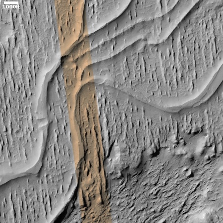
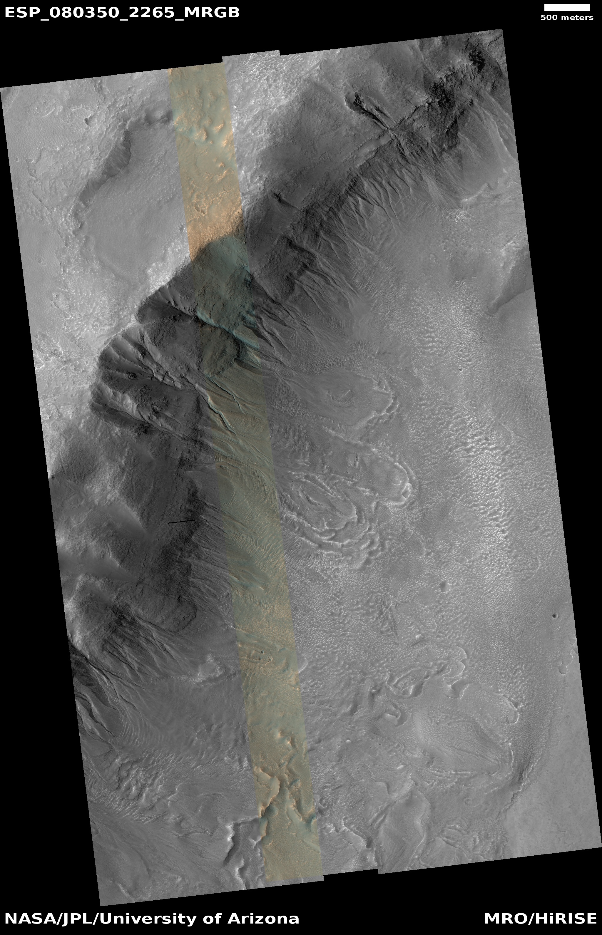
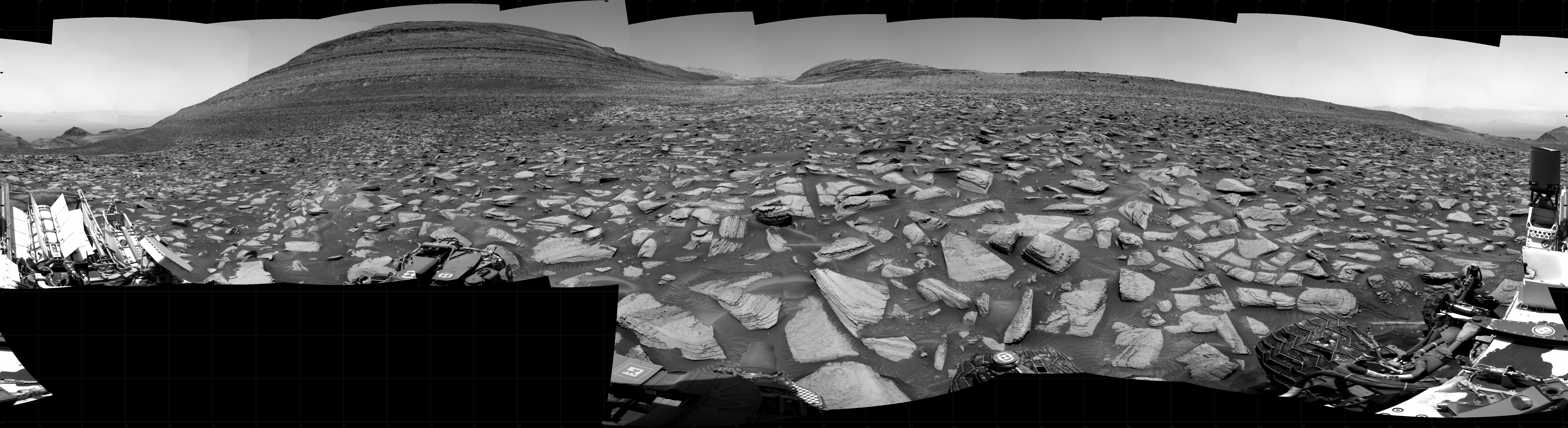
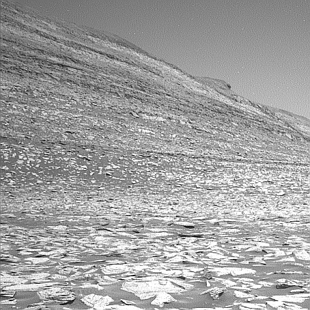
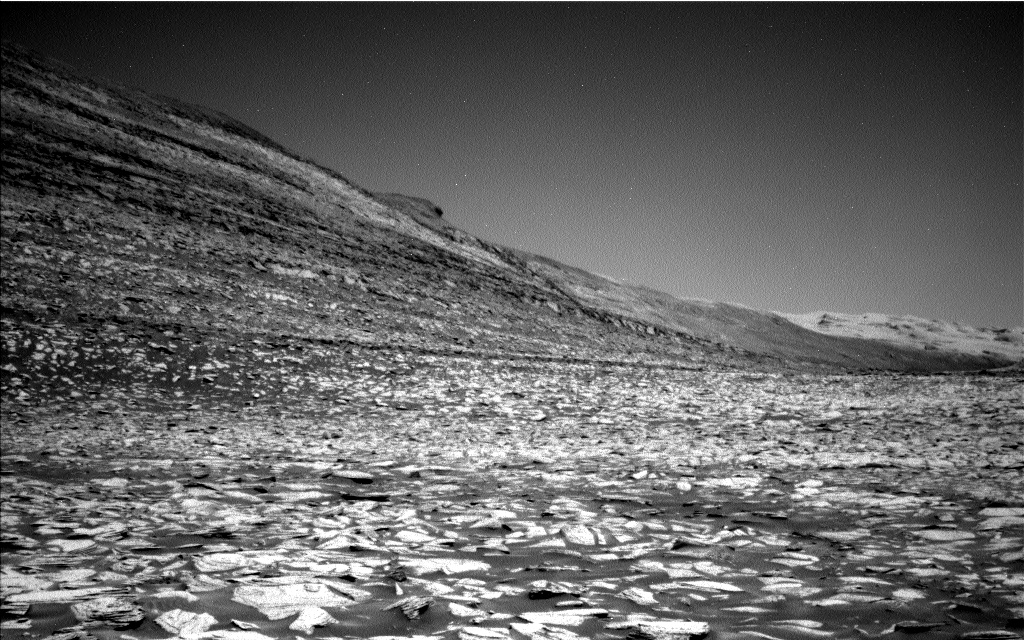
The photo to the right, cropped, reduced, and sharpened to post here, was taken the same day by the rover’s left navigation camera, and illustrates the overall rocky nature of all of the terrain surrounding Curiosity. It looks to the southeast, at the base of nearby 400-foot-high Kukenan.
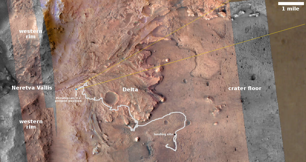
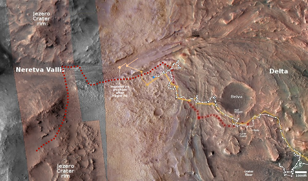
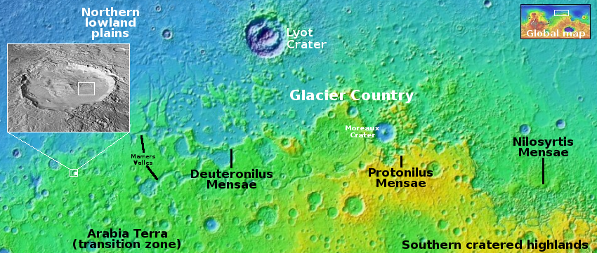
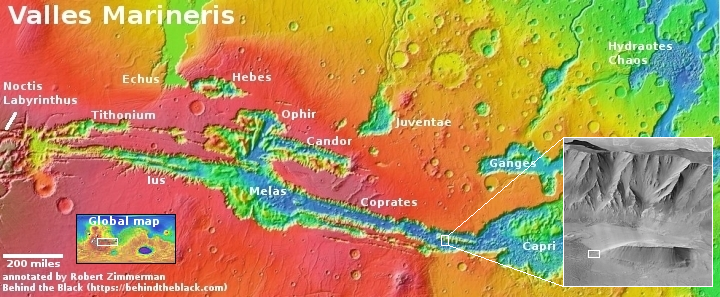
For a map showing Curiosity’s location (as well as another weird Martian rock, see my prevous post on January 17, 2024, A rock tadpole on Mars.
Click for original image.
Click for original image.
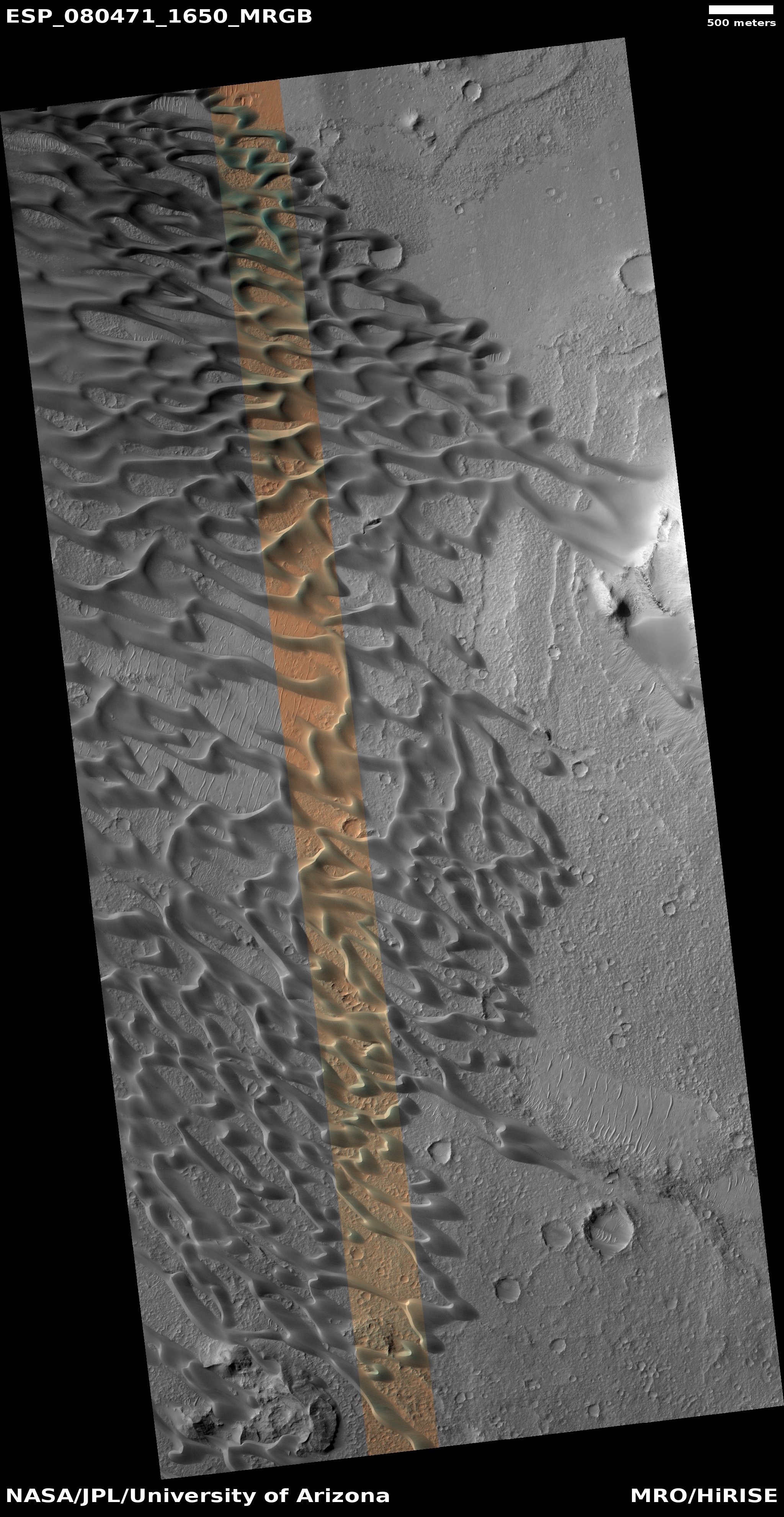
Cool image time! The picture above, cropped and enhanced to post here, was taken on January 22, 2024 by the high resolution camera on the Mars rover Curiosity.
The photo gives us a fine example of the many very strange and delicate formations seen on Martian rocks and boulders as it slowly weaves its way up Mount Sharp, inside the slot canyon Gediz Vallis. On Earth such thin flakes like these are generally only seen inside caves, where there is almost no life to disturb their development and the natural conditions are as benign as well. On Mars, the only thing that can disturb this rock is the wind, and though over time it can erode things the thin atmosphere allows such flakes to form, aided by the gravity about 39% that of Earth’s.
The photo to the right, cropped, reduced, and sharpened to post here, was taken the same day by the rover’s left navigation camera, and illustrates the overall rocky nature of all of the terrain surrounding Curiosity. It looks to the southeast, at the base of nearby 400-foot-high Kukenan.
For a map showing Curiosity’s location (as well as another weird Martian rock, see my prevous post on January 17, 2024, A rock tadpole on Mars.