
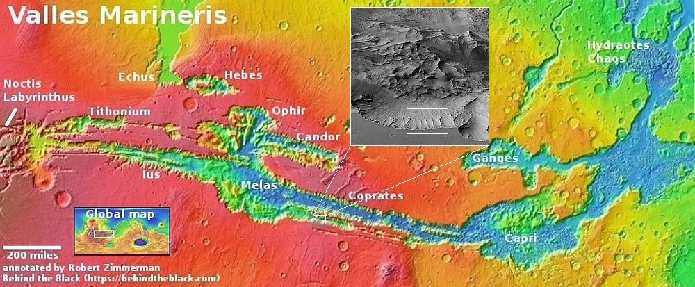
Changing Martian slope streaks
Click here, here, and here for original images.
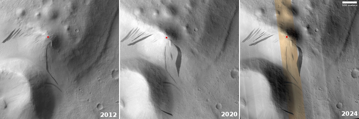
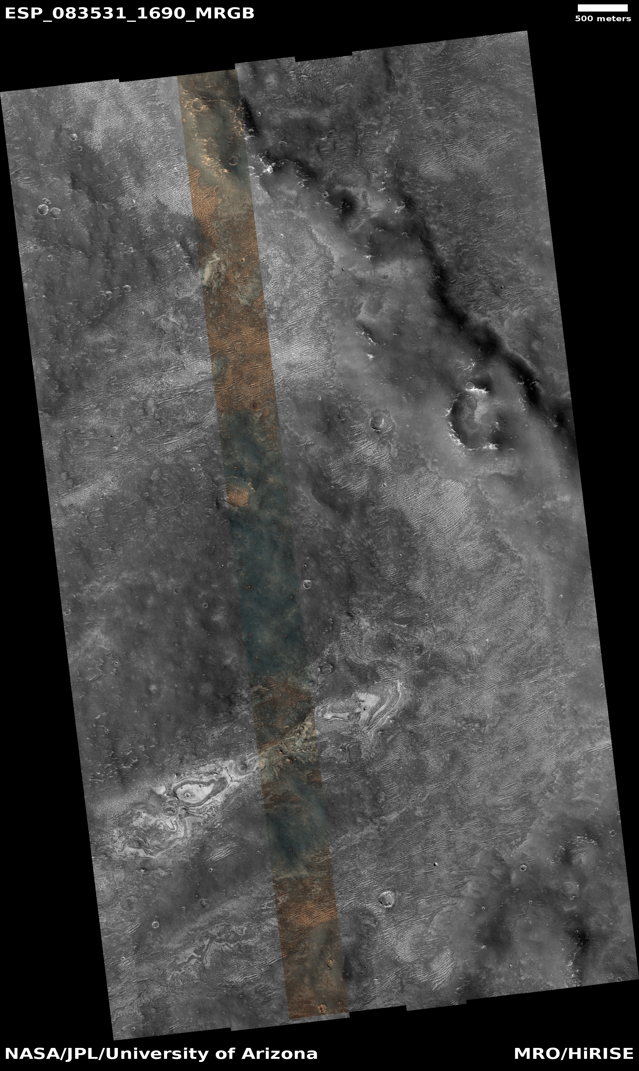
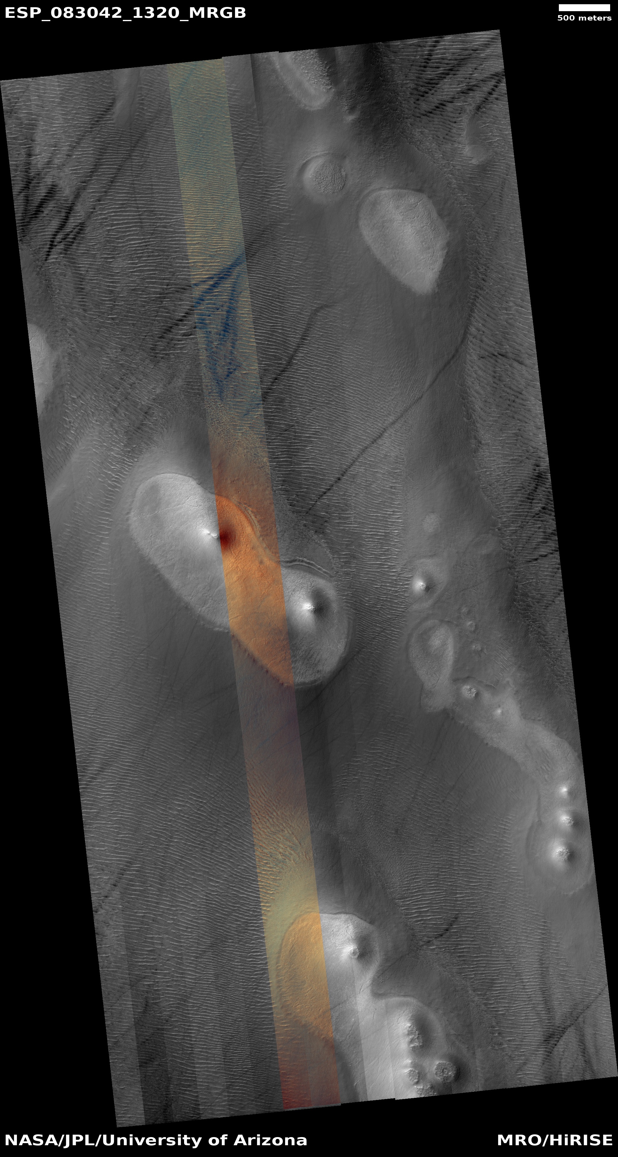
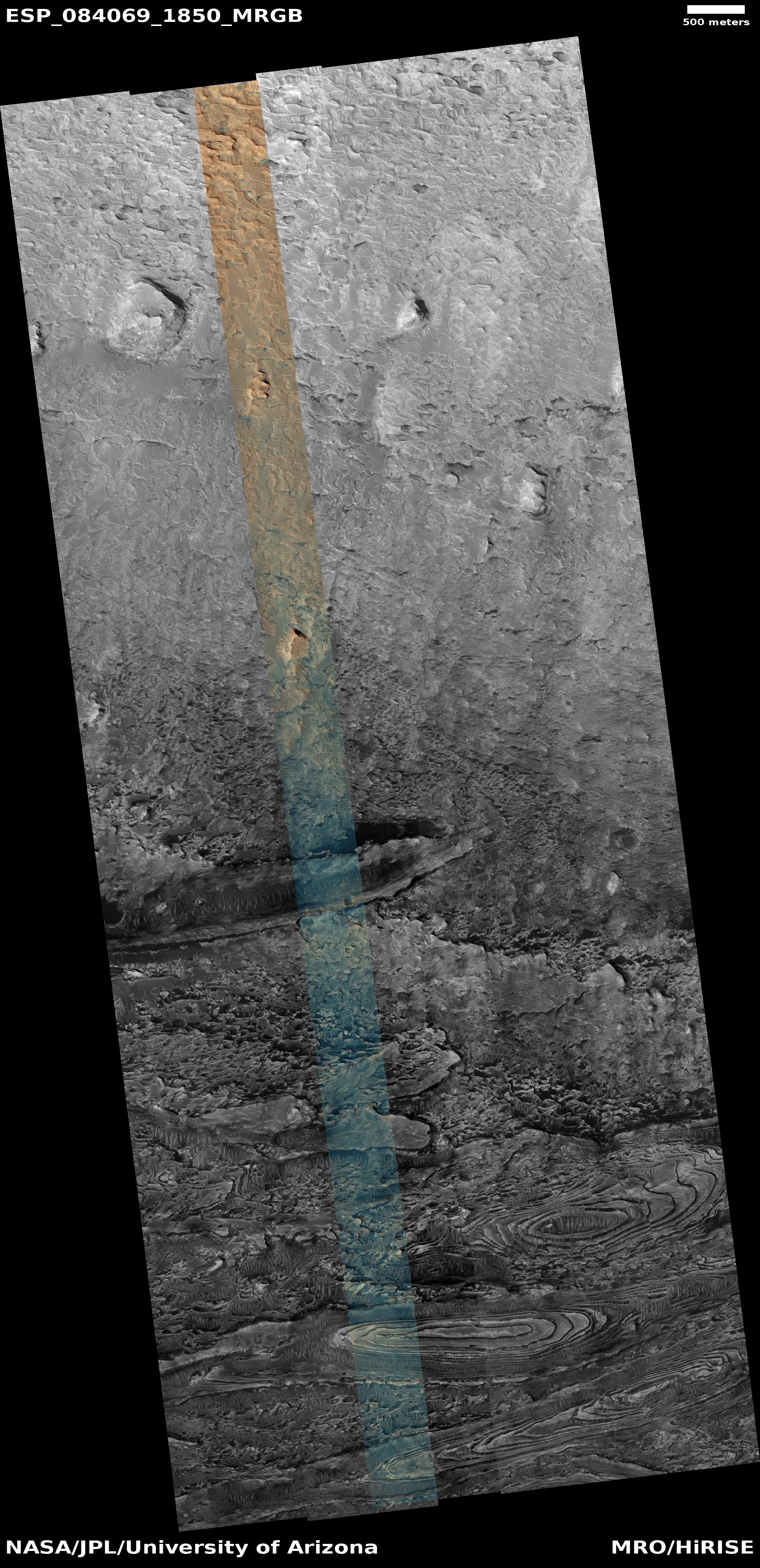
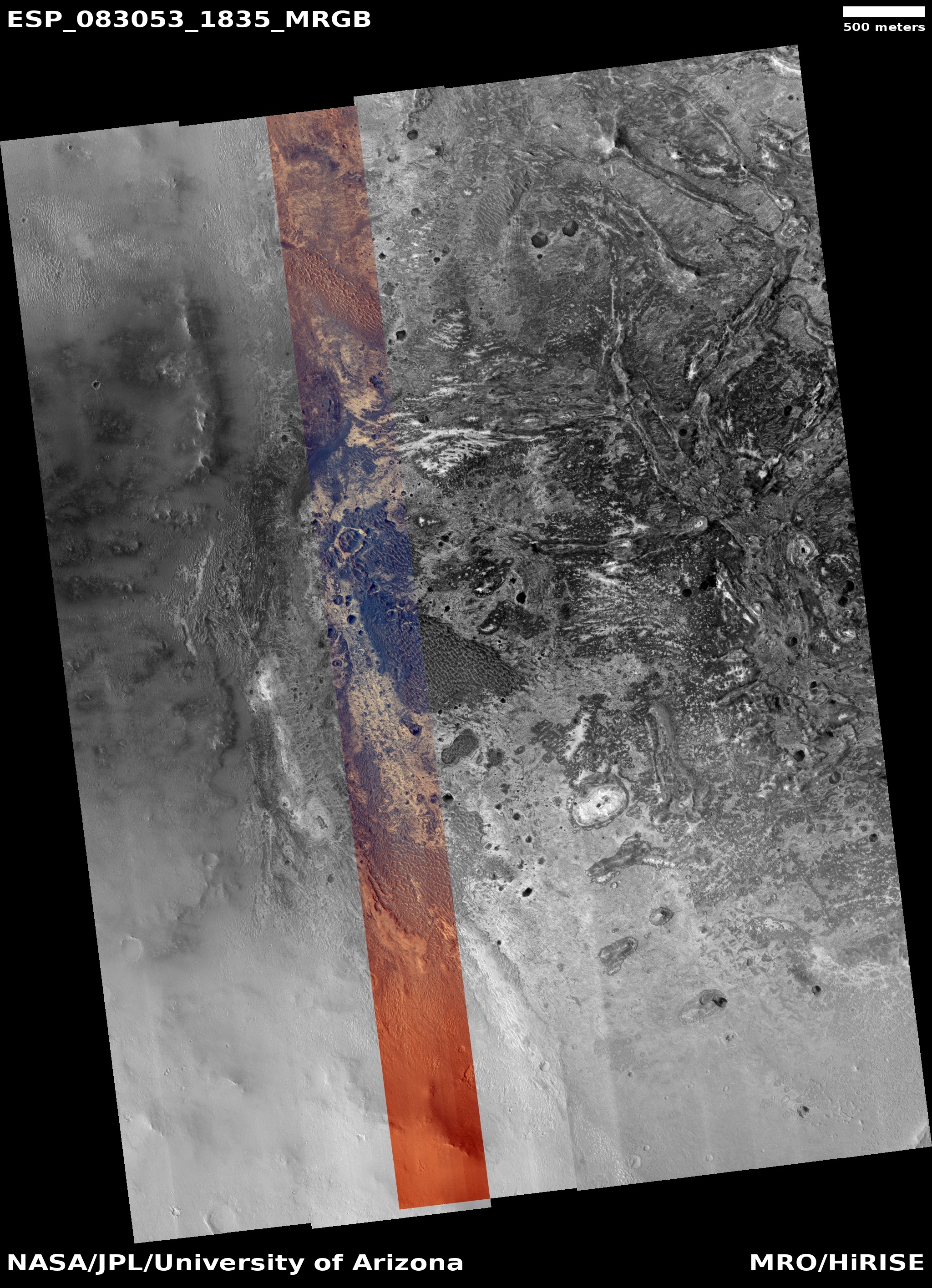
Time for some cool images from Mars taken over a dozen years! The three pictures above were taken, from left to right, in 2012, 2020, and 2024 and show the same exact Martian terrain. The first two pictures were photographed by the lower resolution context camera on Mars Reconnaissance Orbiter (MRO). The rightmost picture was taken on May 20, 2024 by MRO’s high resolution camera.
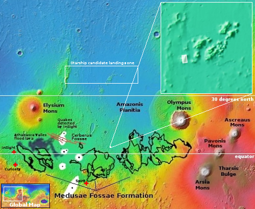
The white dot on the overview map to the right marks the location, in the middle of the vast lava flood plains found between Mars’ giant volcanos and north of the Medusae Fossae Formation, the largest volcanic ash deposit on Mars. The 1,200-foot-high mesa pictured above, its peak indicated by the red dot, is part of a group of such mesas that either represent the peaks of a mountain range now mostly buried by lava, or volcanic vents pushed up when those eruptions were occurring more than a billion years ago.
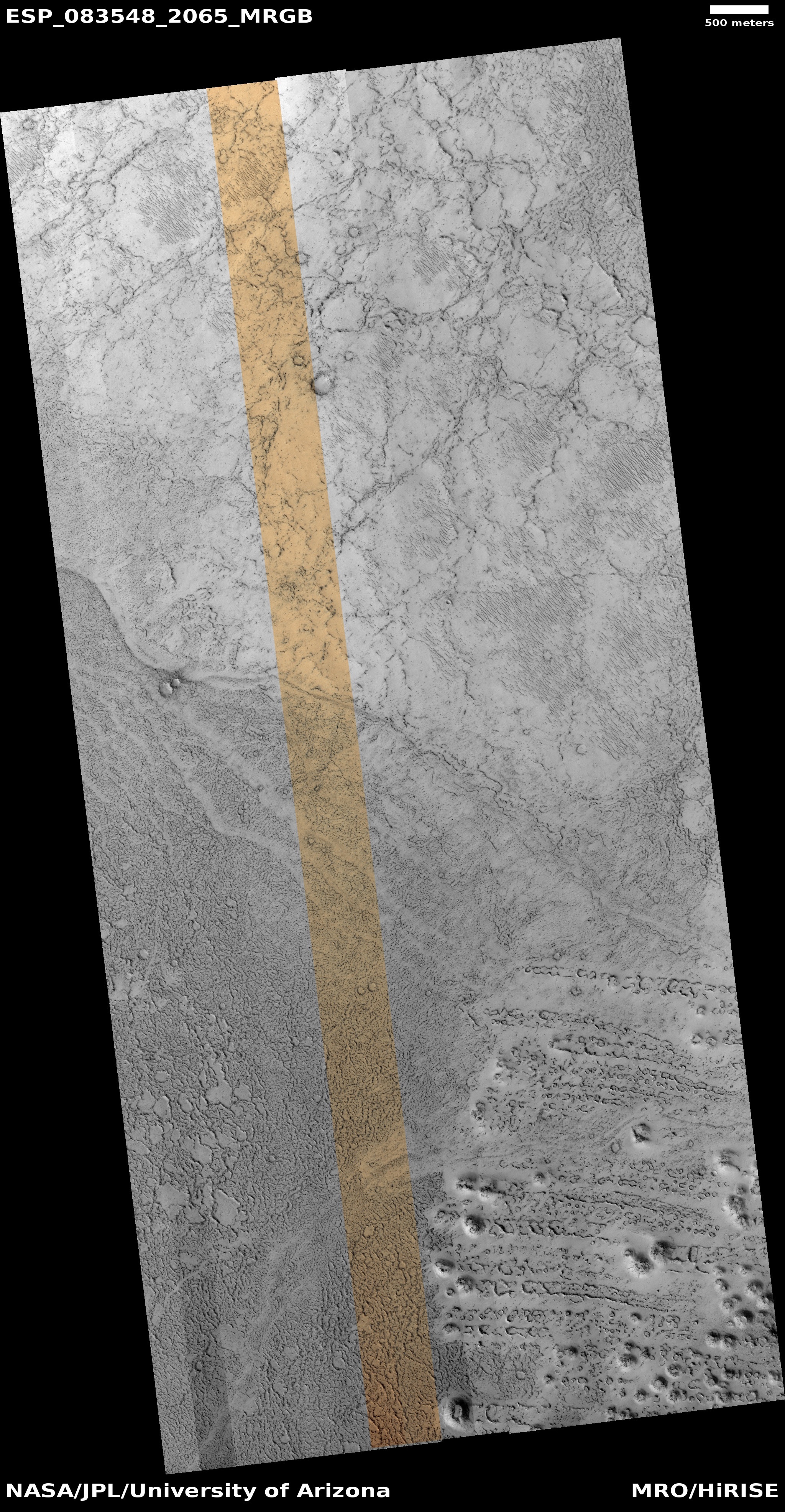
The focus of these pictures however is not volcanism, but the numerous slope streaks seen on the mesa slopes. Note how the 2012 earliest streaks are still visible in 2024, but have faded. Note also how there appears to have been no new streaks since 2020.
Slope streaks are a geological feature unique to Mars that at the moment remain unexplained. At first glance they appear to be a landslide of some kind, but years of orbital study has shown they do not change the topography at all, they never have debris piles at their base, and the streaks even sometimes actually flow up and over small rises in the slopes. They occur randomly throughout the year, and as seen above, over time fade.
Recent research has suggested their formation is related to dust avalanches triggered by dust storms, conclusions that are strengthened by the fact that slope streaks are generally found on dusty slopes, which in this case makes sense as the location is in the dry Martian tropics. That these dust avalanches do not change the topography at all, merely staining it, while sometimes actually flowing up and over rises, illustrates how Mars’ one-third gravity and thin, cold atmosphere makes things happen that are impossible on Earth.


