
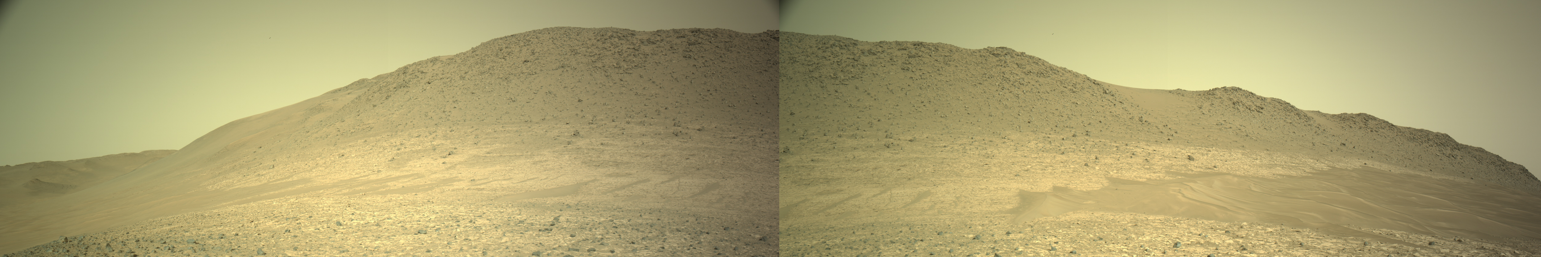
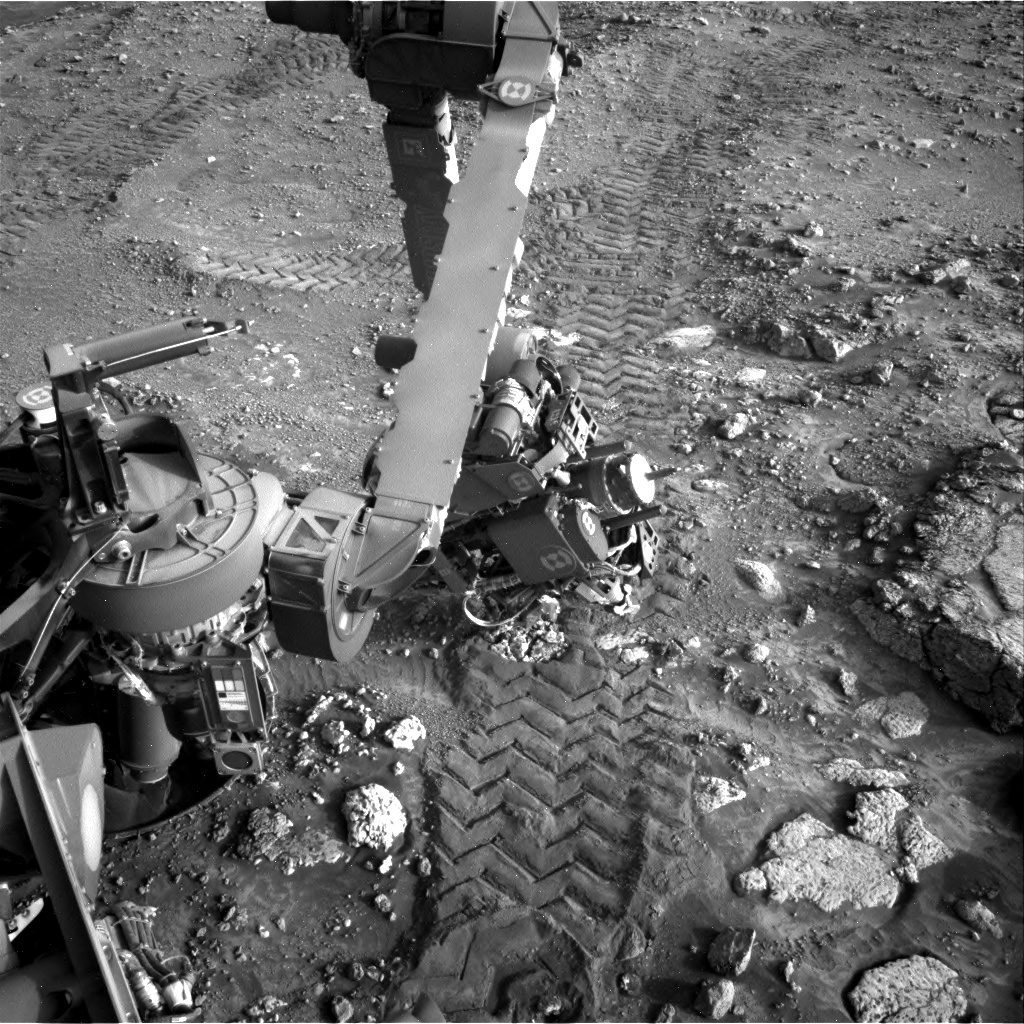
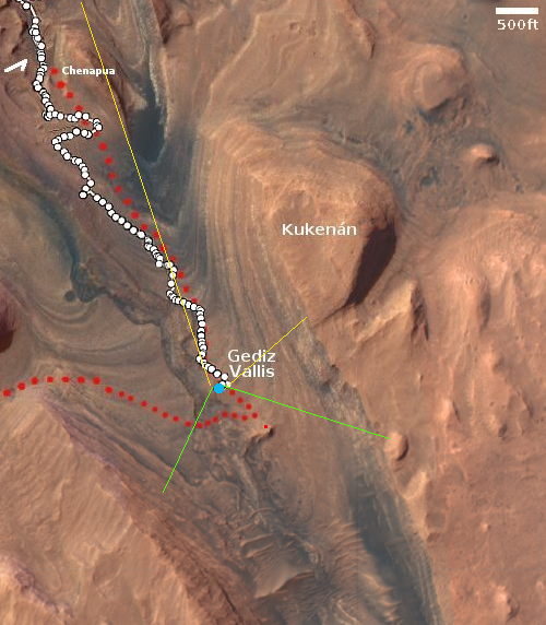
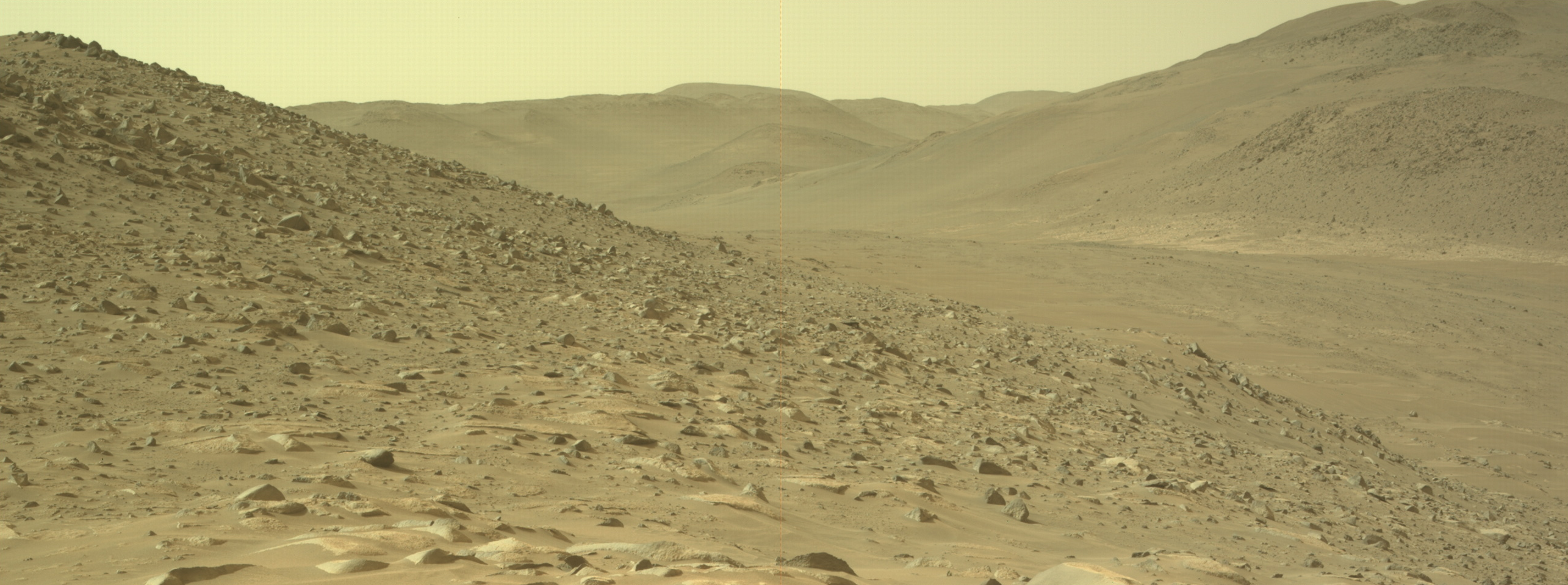
Perseverance looks back at downstream Neretva Vallis

Click for full resolution version. Highly recommended!
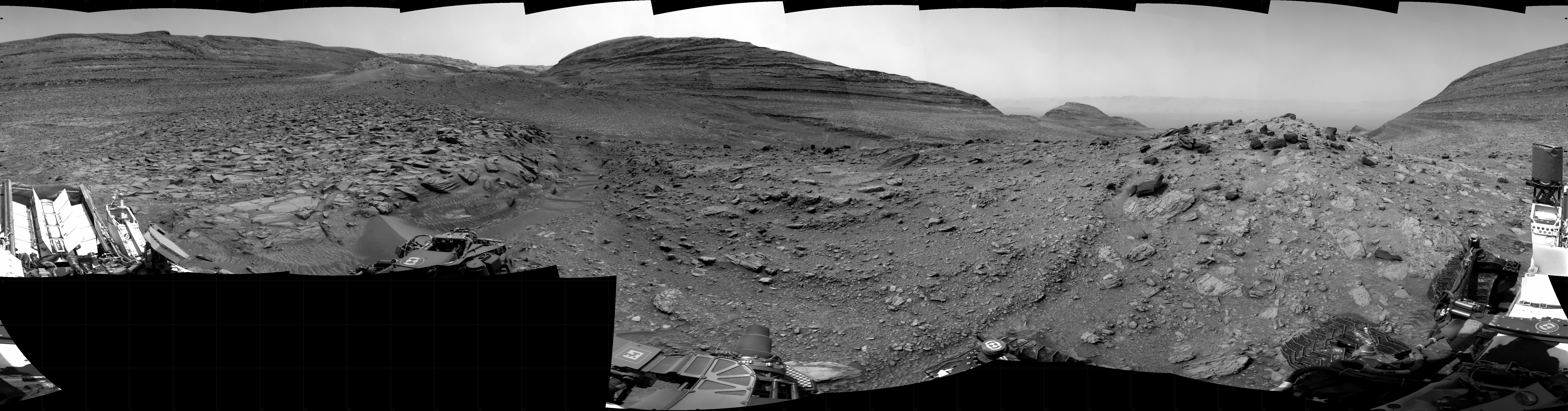
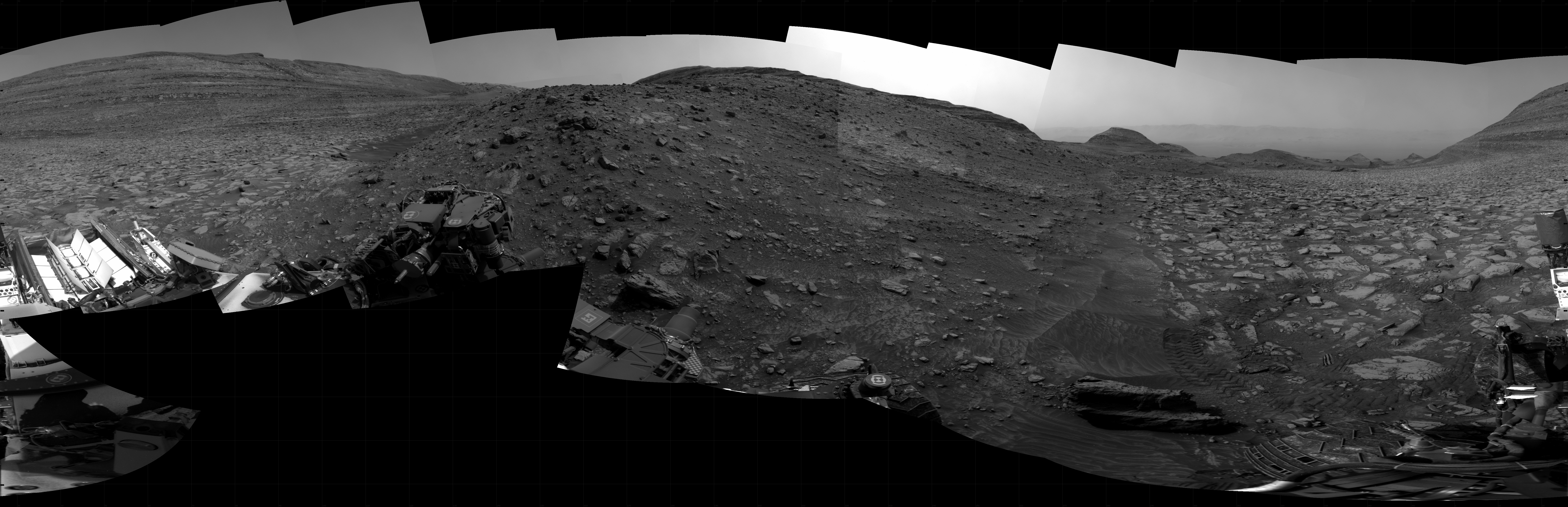
Cool image time! The panorama above was released today by the science team of the Mars rover Perseverance, created from 56 pictures taken by the rover’s high resolution camera. It looks east, downstream into Neretva Vallis, what is believed to be the ancient riverbed that produced the delta that now exists inside Jezero Crater.
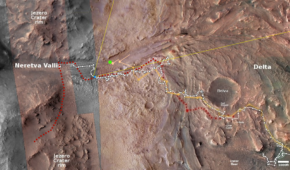
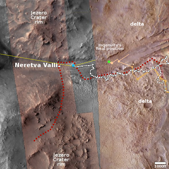
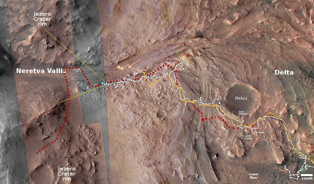
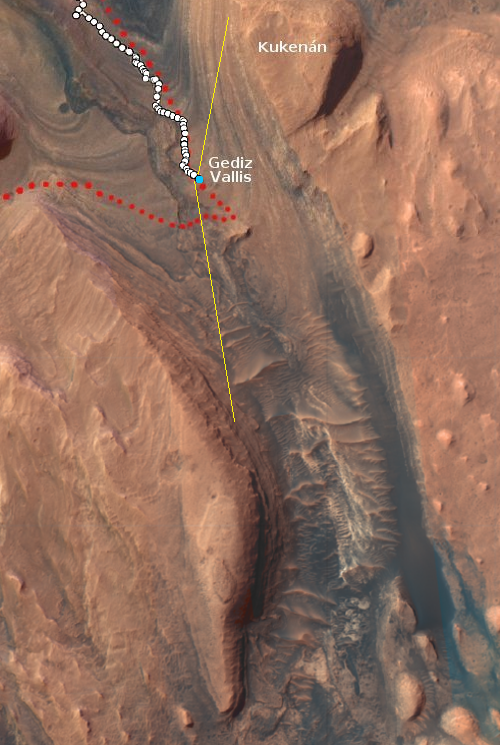
The yellow lines in the overview map below indicate the approximate area shown by the panorama. The blue dot marks where Perseverance was located when it took these pictures on May 17, 2024.
Make sure you look at the full resolution image. Neretva Vallis, the depression in the center of the panorama, is about a quarter-mile wide. The green dot on the map marks Ingenuity’s final landing spot. Though the helicopter is somewhere inside that panorama, it does not appear to be visible as it lies on the far side of one of those dunes.
It is also possible that Ingenuity is visible, but is only a tiny dark dot that makes it hard to identify. In reviewing the high resolution image closely, there is one dot that could be Ingenuity.
Click for interactive map.


