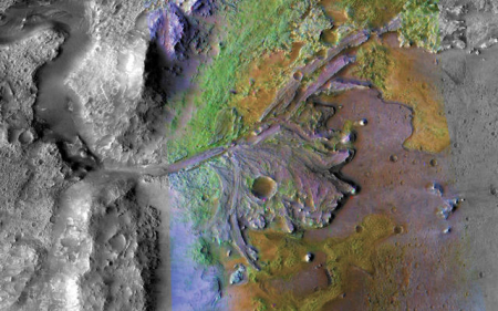
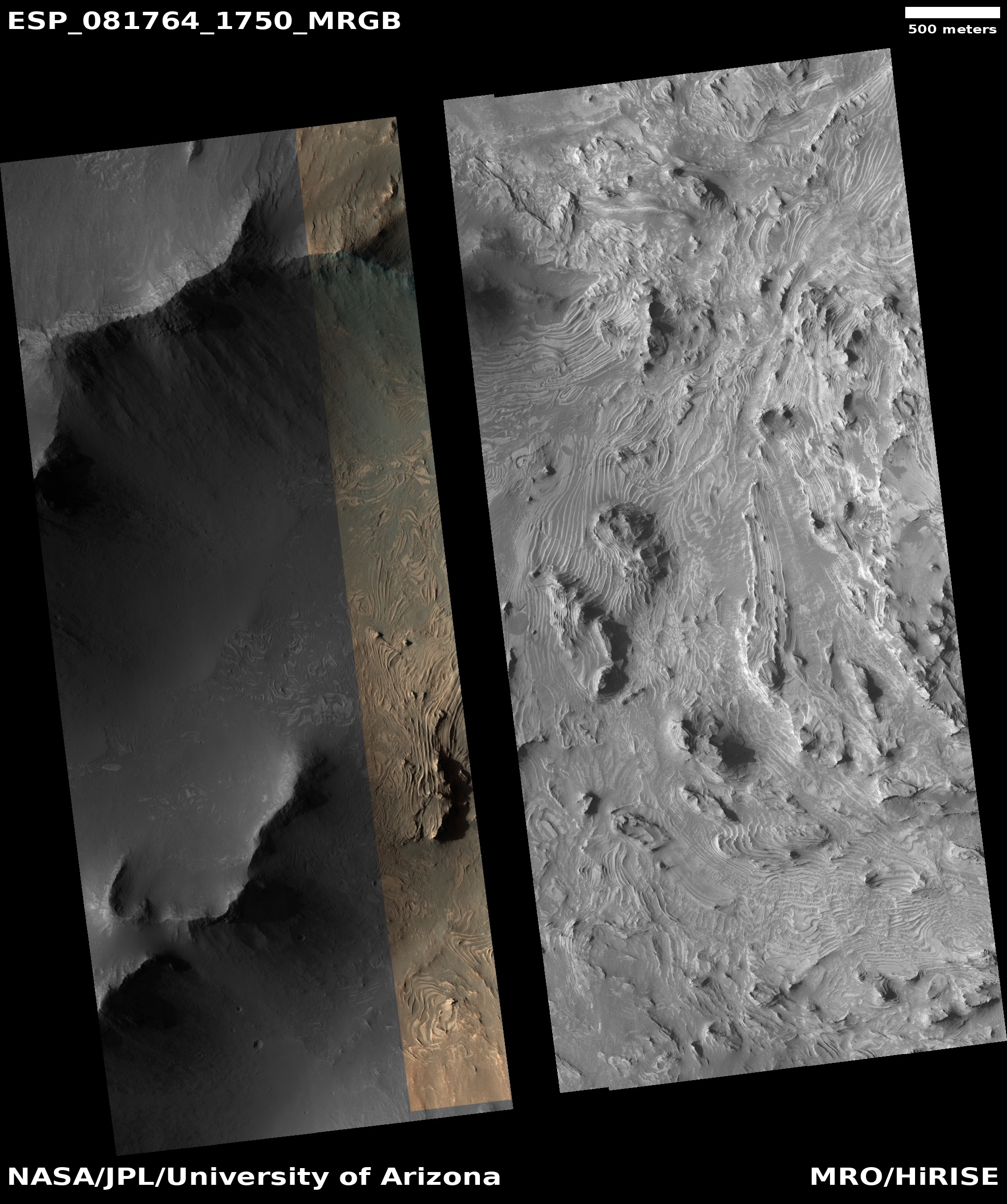
Scientists release detailed geological map of the landing site for Europe’s Franklin rover

Click for original image.
Scientists today released a new high resolution and very detailed geological map of the landing site for Europe’s Franklin rover, produced using orbital data from the U.S.’S Mars Reconnaissance Orbiter and Europe’s Trace Gas Orbiter.
A very low resolution version of the map is to the right.
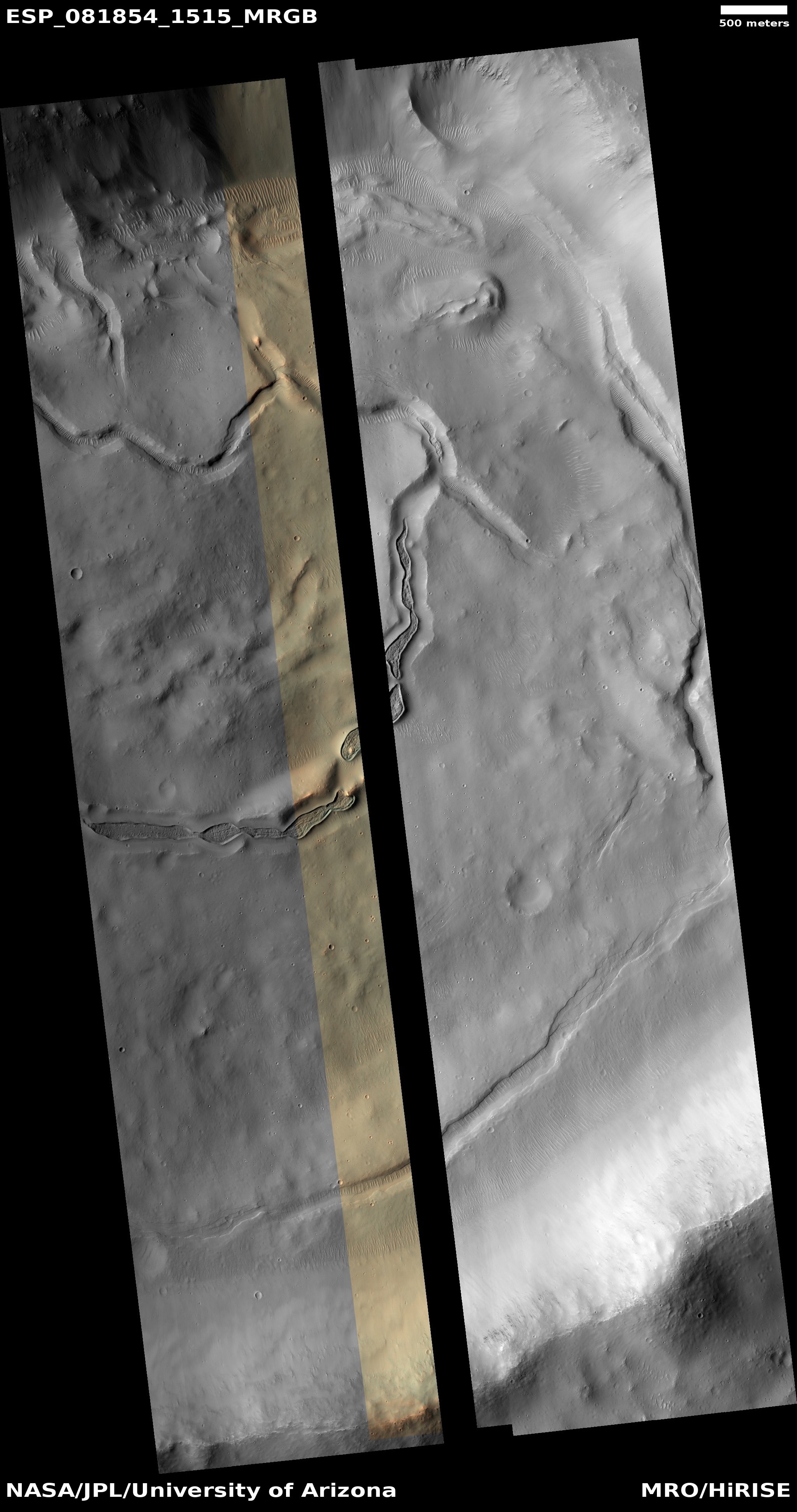
The work was divided into 134 one-square-kilometre areas, so that the [80-person] team could fully cover the estimated landing area. Scientists used a web-based system that allowed everyone to work on the map in parallel. The software was provided by NASA’s Jet Propulsion Laboratory and set up at ESA [European Space Agency]. Data came from the Colour and Stereo Surface Imaging System (CaSSIS) onboard the ExoMars Trace Gas Orbiter and several instruments on NASA’s Mars Reconnaissance Orbiter (MRO), including the HiRISE camera, which returns images from Mars orbit at 25 cm per pixel.
The mapping leads then pieced together the information on all the areas to form a coherent map that shows the geology of the landing site in unprecedented detail. The map includes the main types of bedrock, and structures with distinct shapes like ridges and craters. It even features the material that rests on top, for example blown by the wind, or thrown long distances when meteorites impacted the surface.
The result is the highest resolution map of Oxia Planum yet, created at a scale of 1:25 000, by which every centimetre equals 250 metres on the martian surface. An average drive of 25 to 50 metres a day for Rosalind Franklin would be one to two milimetres on the map.
The team had the extra time to compile this map because the launch of Franklin to Mars was delayed a number of times because of engineering issues and the Ukraine War, which ended the Europe’s partnership with Russia, requiring ESA to find other means to launch and land the rover.