
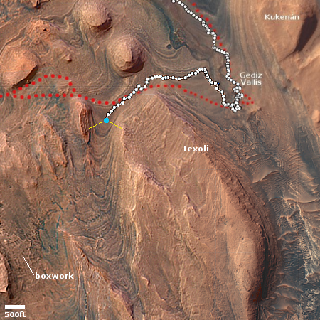
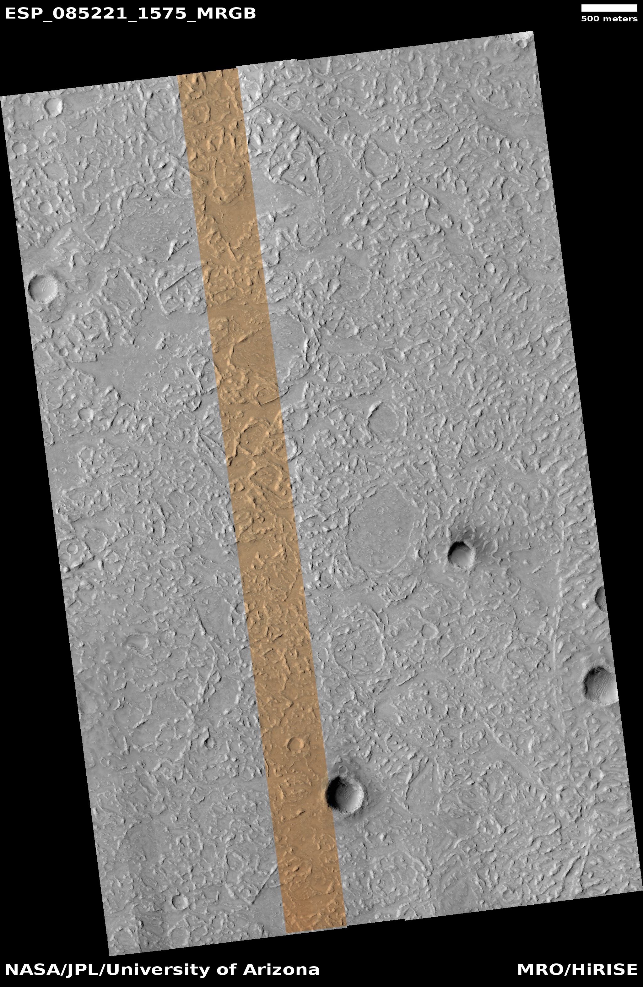
The mighty scale of Mars’ geology
Click for original image.
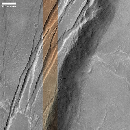
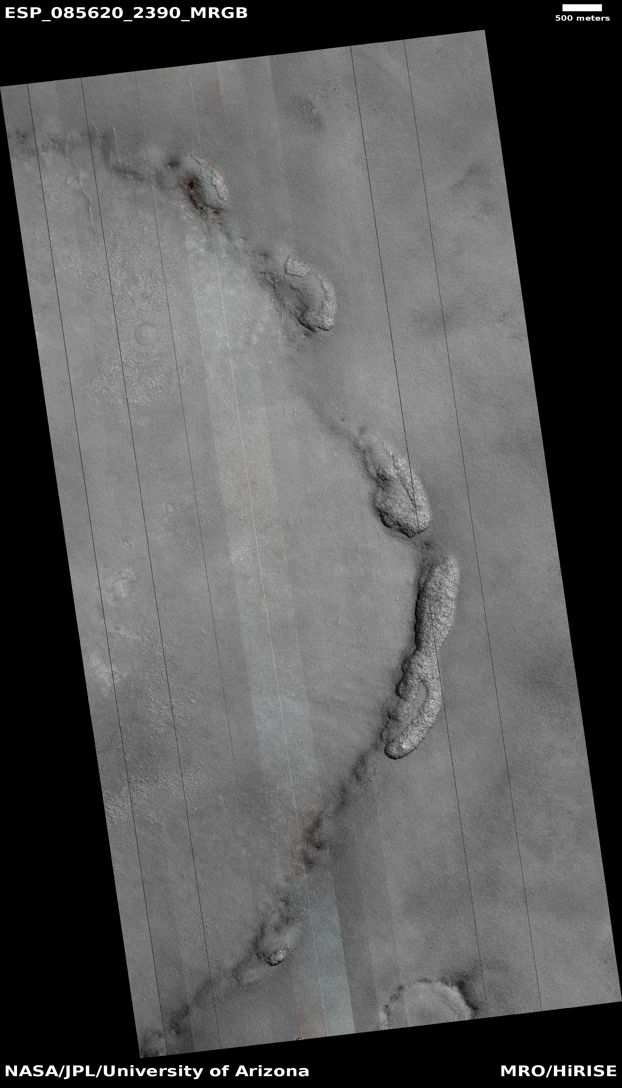
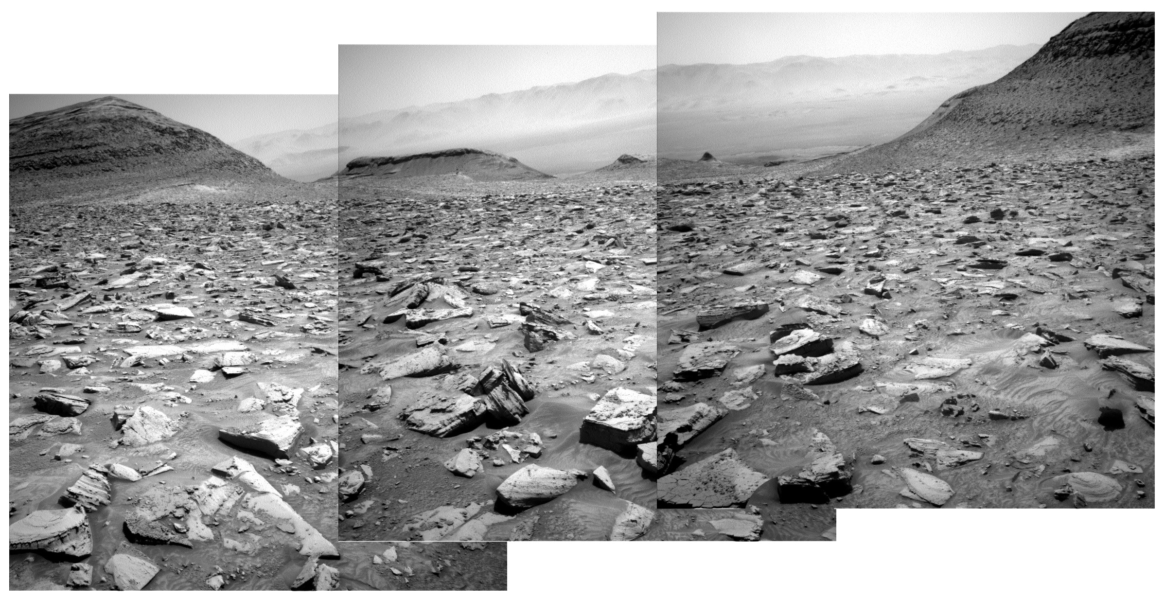
Today’s cool image is just one more example out of hundreds I have posted in the past decade of the difficult-to-imagine gigantic scale of the Martian landscape.
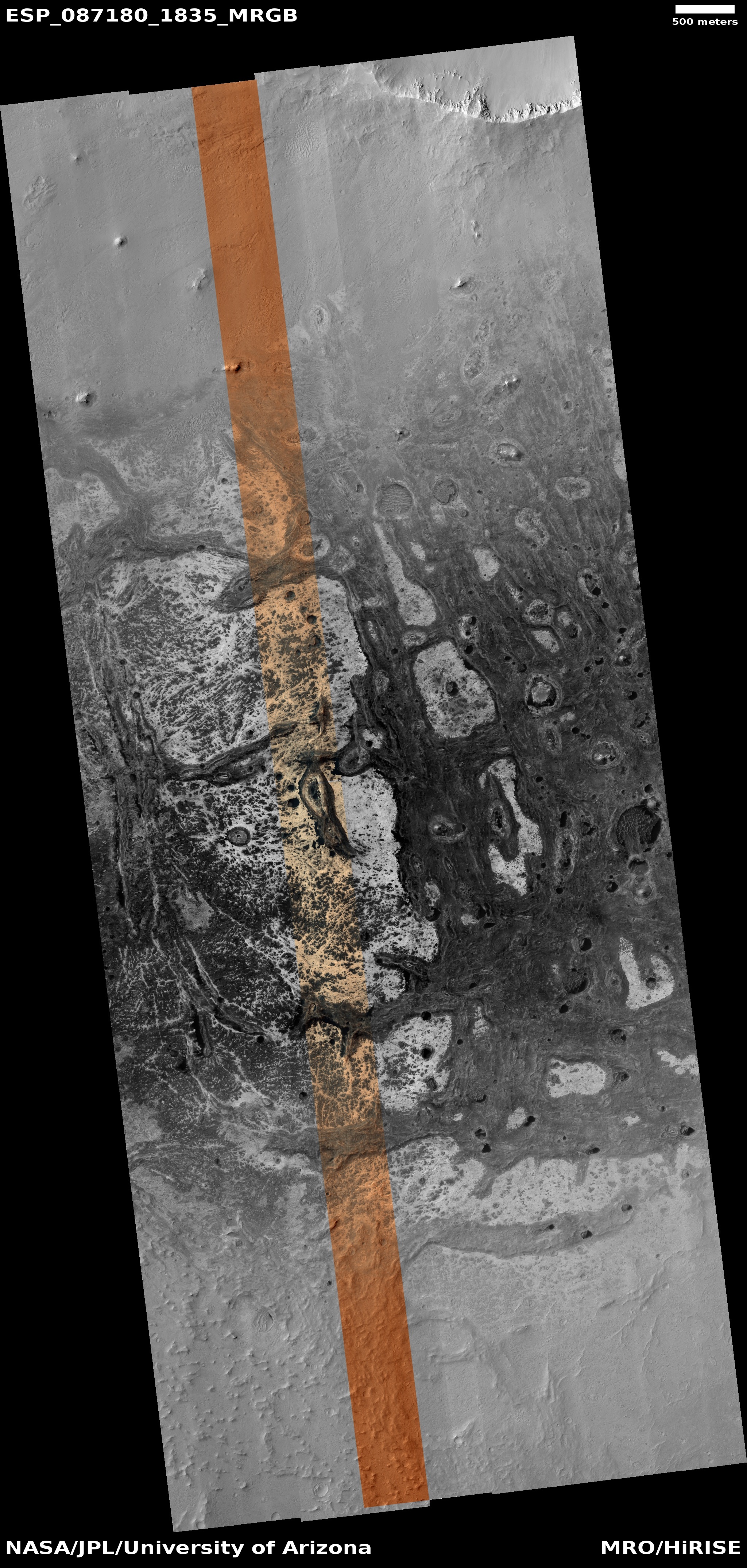
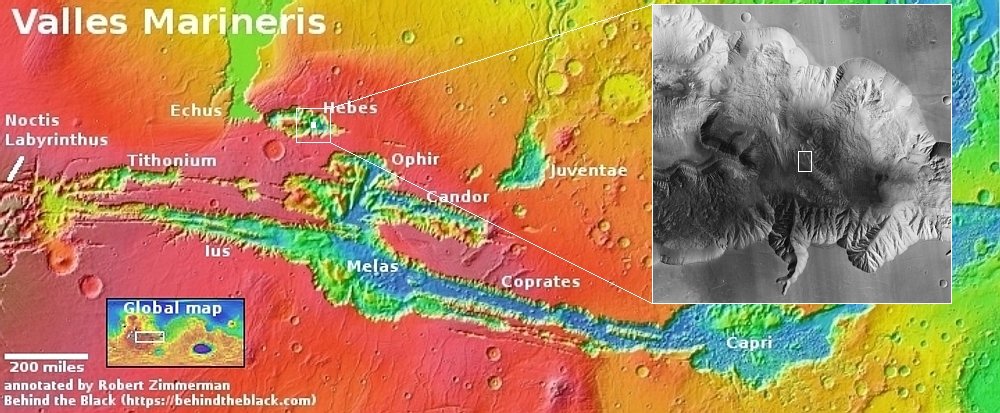
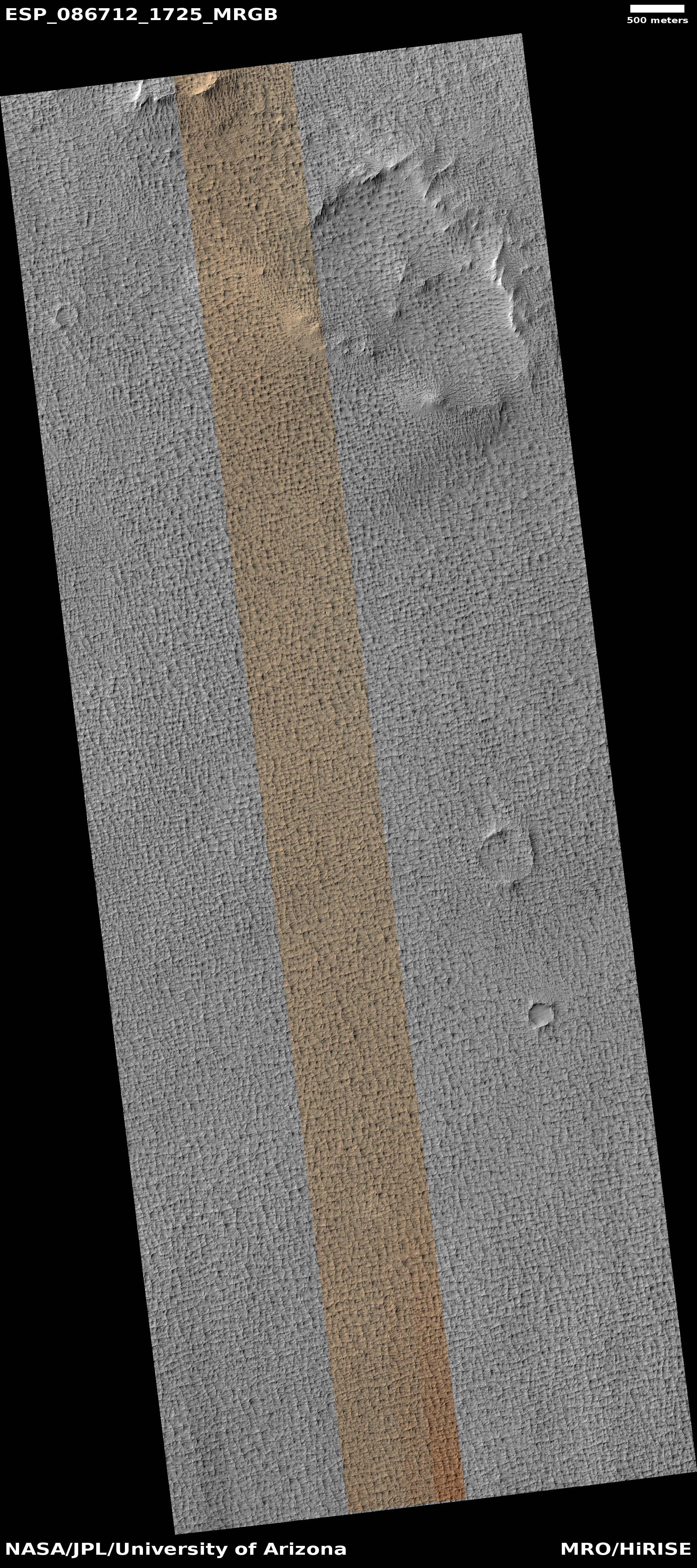
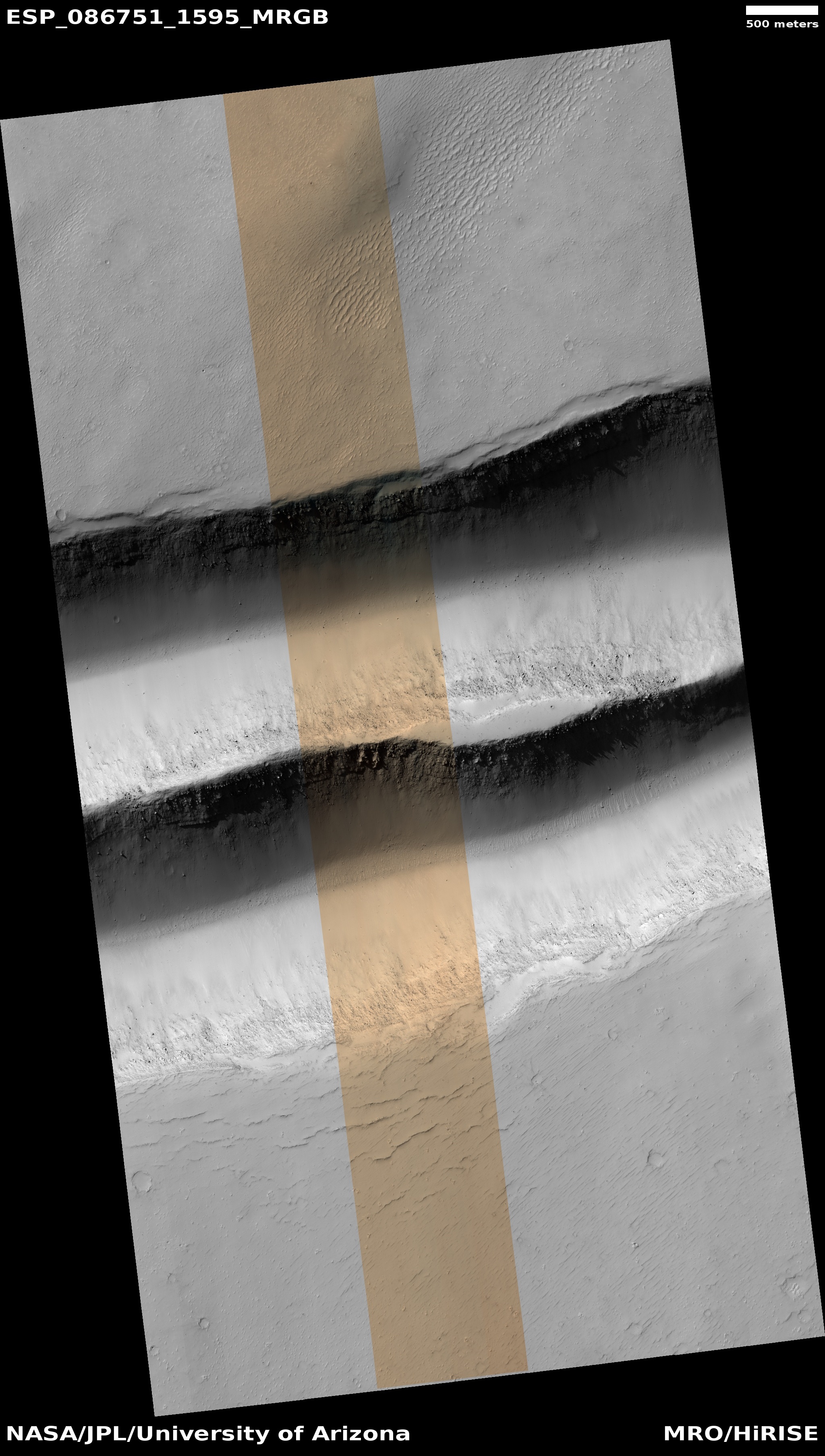
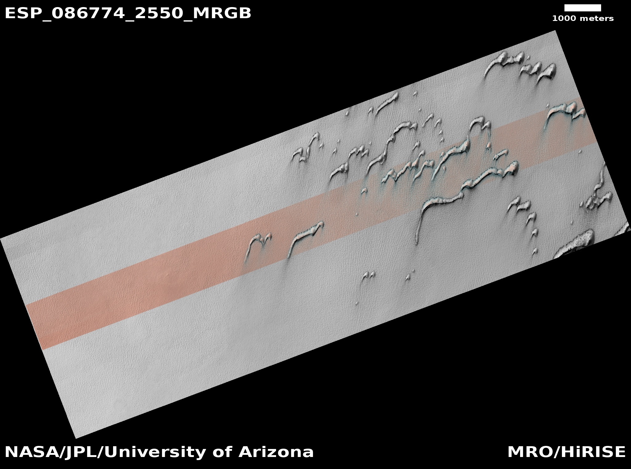
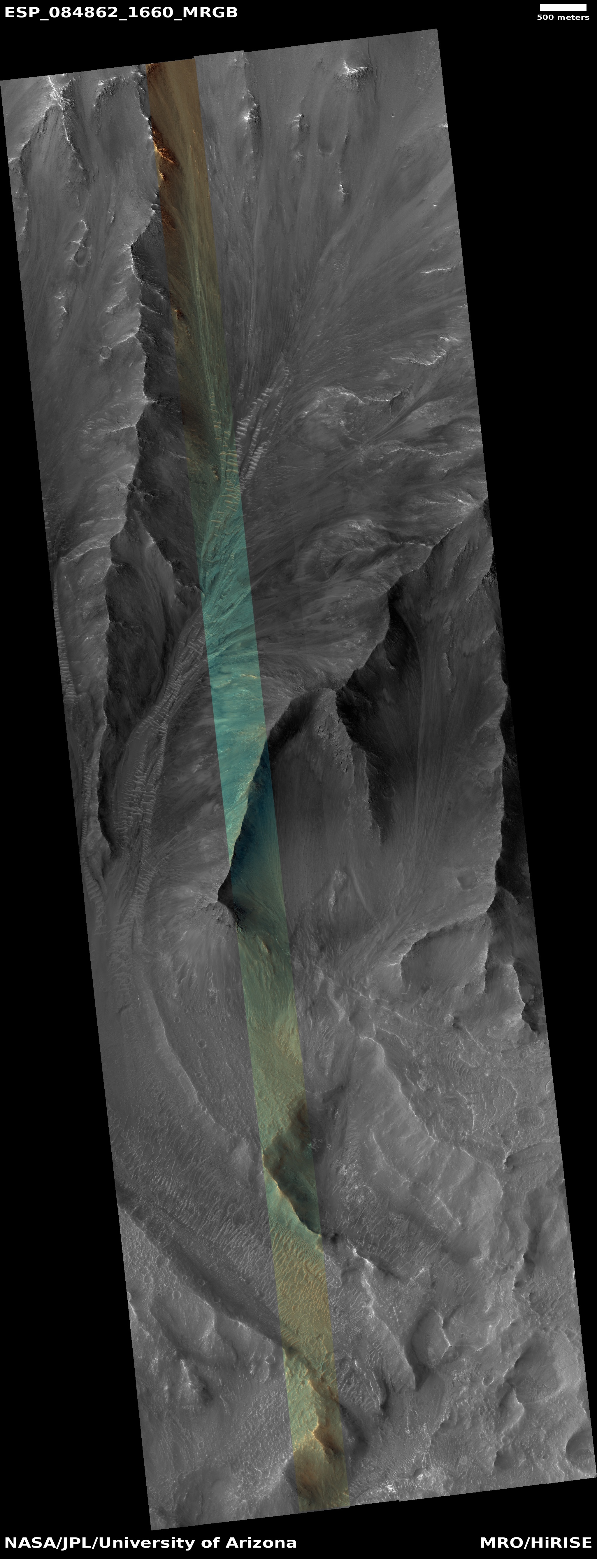
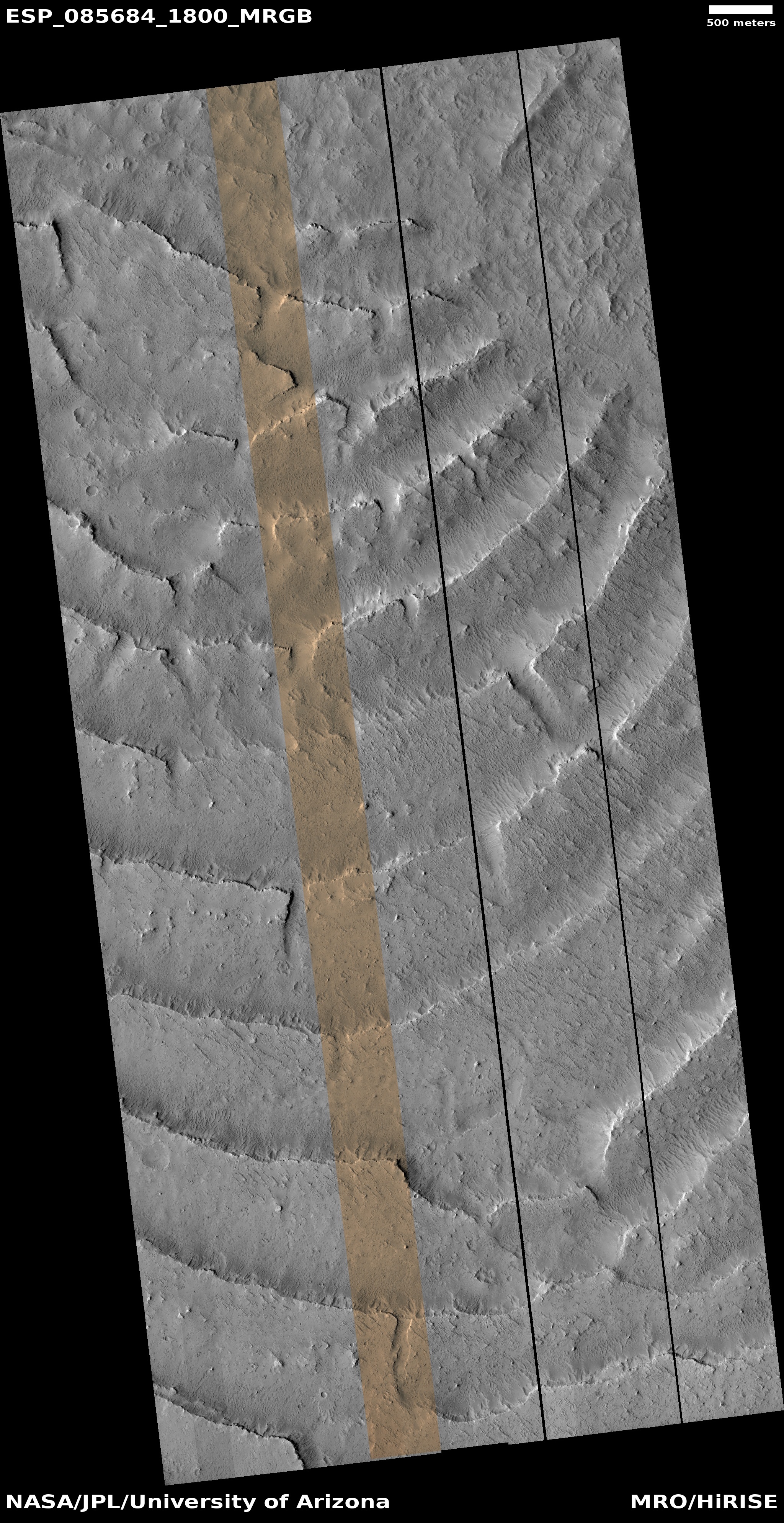
The picture to the right, rotated, cropped, reduced, and sharpened to post here, was taken on March 1, 2025 by the high resolution camera on Mars Reconnaissance Orbiter (MRO). The image title is simple, “Steep Slopes of Olympus Mons Caldera,” and tells us that this cliff face, about 1,300 feet high, is part of the caldera that resides on top of Mars’ largest volcano, Olympus Mons.
The parallel cracks on the plateau above the cliff tell us that the cliff face is slowly separating outward from that plateau, and that at some point in the future the entire wall will collapse downward.
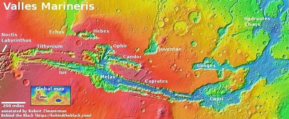
Sounds impressive and big, eh? What the picture doesn’t make clear however is how truly tiny this cliff is in the context of the entire mountain.
» Read more

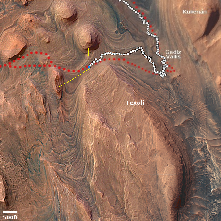
Click for original image.
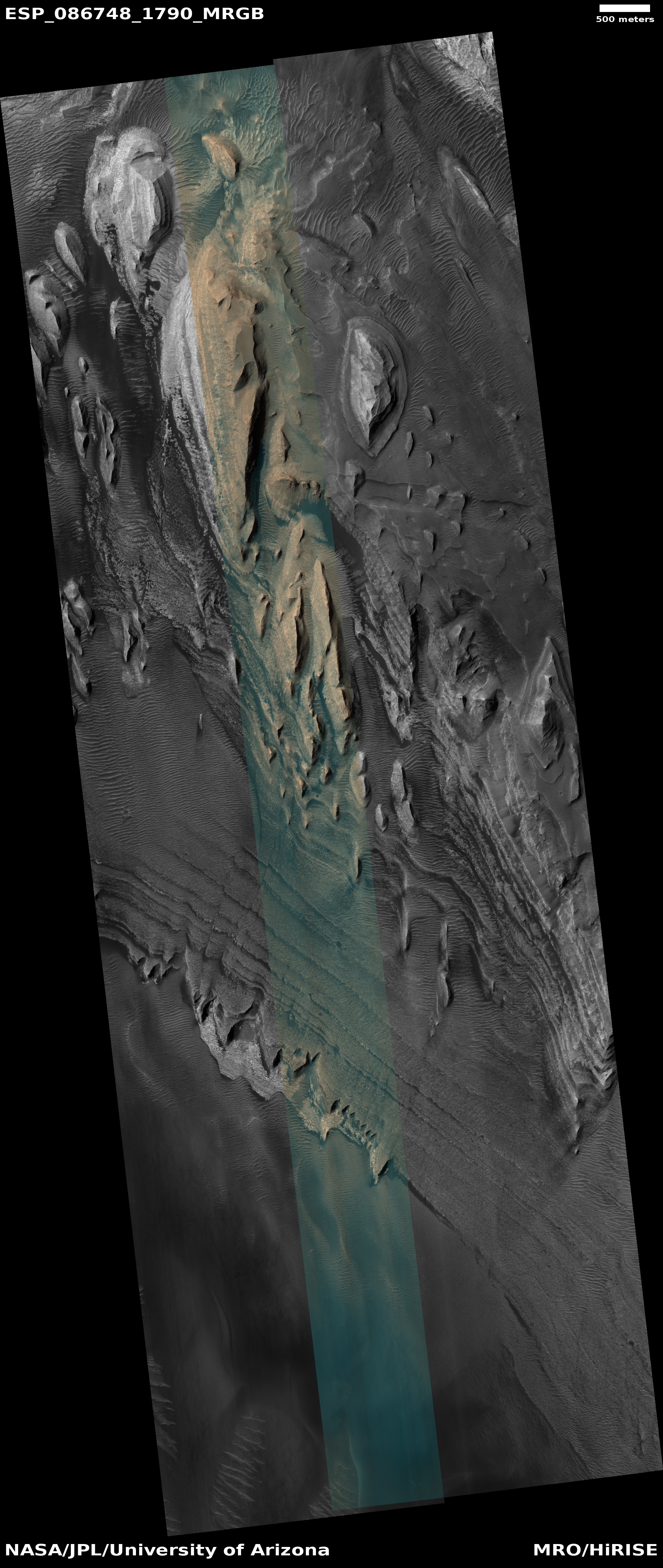
Today’s cool image is just one more example out of hundreds I have posted in the past decade of the difficult-to-imagine gigantic scale of the Martian landscape.
The picture to the right, rotated, cropped, reduced, and sharpened to post here, was taken on March 1, 2025 by the high resolution camera on Mars Reconnaissance Orbiter (MRO). The image title is simple, “Steep Slopes of Olympus Mons Caldera,” and tells us that this cliff face, about 1,300 feet high, is part of the caldera that resides on top of Mars’ largest volcano, Olympus Mons.
The parallel cracks on the plateau above the cliff tell us that the cliff face is slowly separating outward from that plateau, and that at some point in the future the entire wall will collapse downward.
Sounds impressive and big, eh? What the picture doesn’t make clear however is how truly tiny this cliff is in the context of the entire mountain.
» Read more


