
Mars is not dry!

I once again feel compelled to rant against the shallow ignorance of too many people in both the journalism field as well as academia about the most recent data we now have of Mars. Two articles today once again show this ignorance, assuming blandly that Mars is a dry planet with little water on it anywhere, when orbital data over the past decade has unequivocally shown that — except for its equatorial regions — the planet is covered with a LOT of near-surface ice.
The headlines make this ignorance quite clear:
- University of Chicago: Was Mars doomed to be a desert? Study proposes new explanation
- Space.com: The secret of why Mars grew cold and dry may be locked away in its rocks
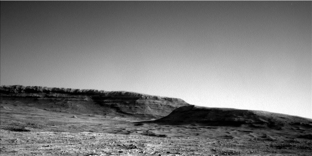
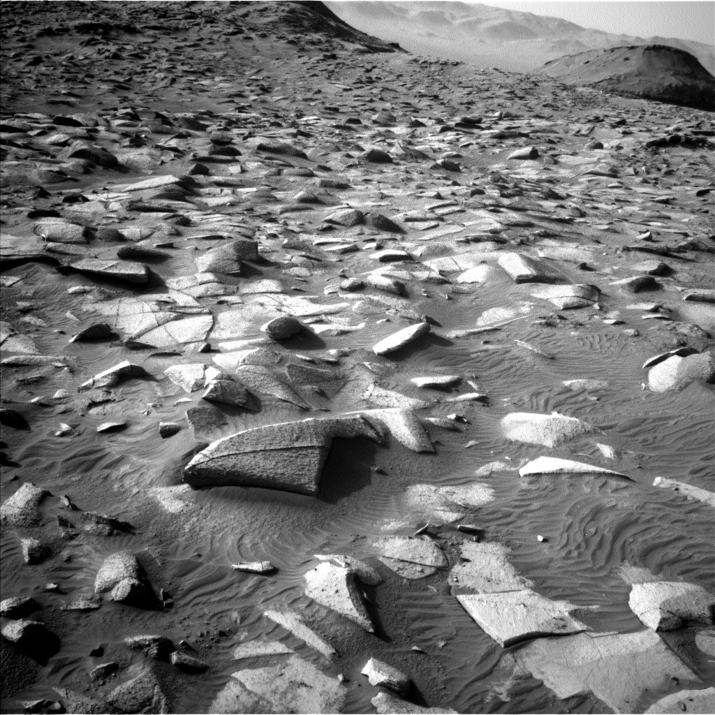
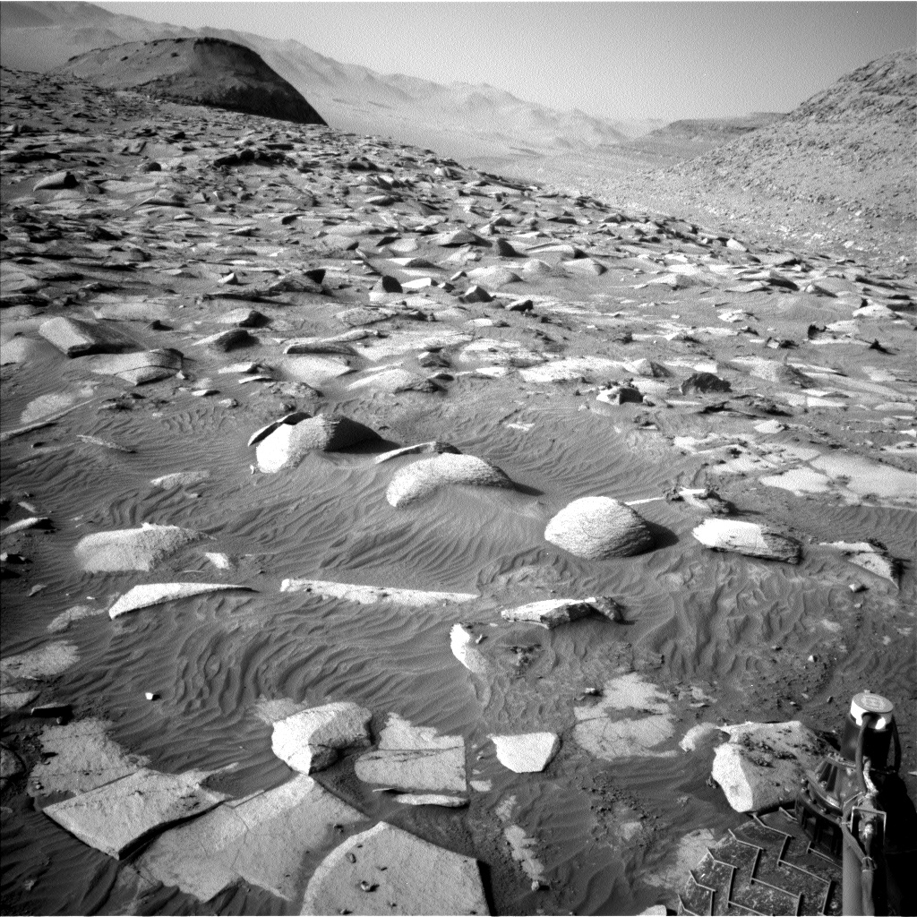
In both cases, the articles assume that the data obtained from rovers and landers in the dry Martian tropics applies to the entire planet. It does not. This evidence of a dry planet carries a bias that comes from the decision by the planetary community as well as NASA to send every rover to that dry equatorial region. Only one lander, Phoenix, has ever been successfully dropped far from the Martian equator, and it was purposely sent to a very high latitude, where it proved there was ice present just below the surface.
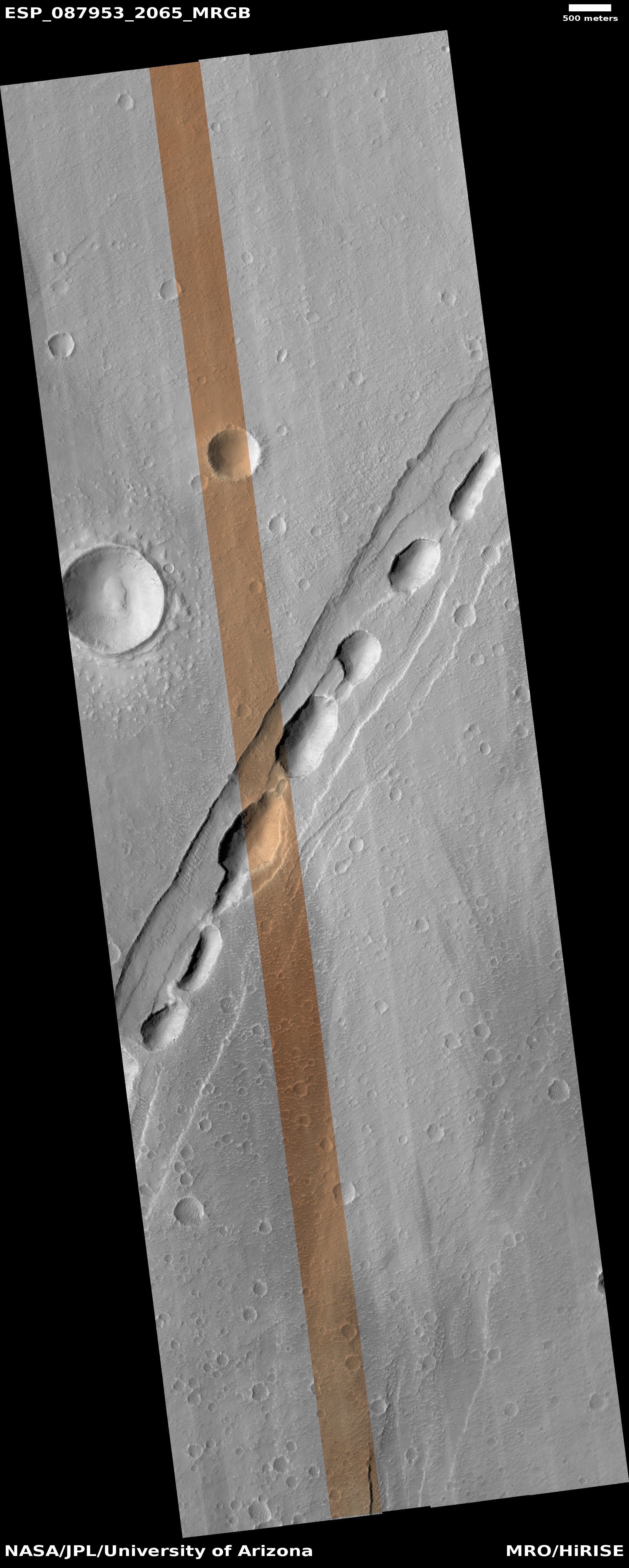
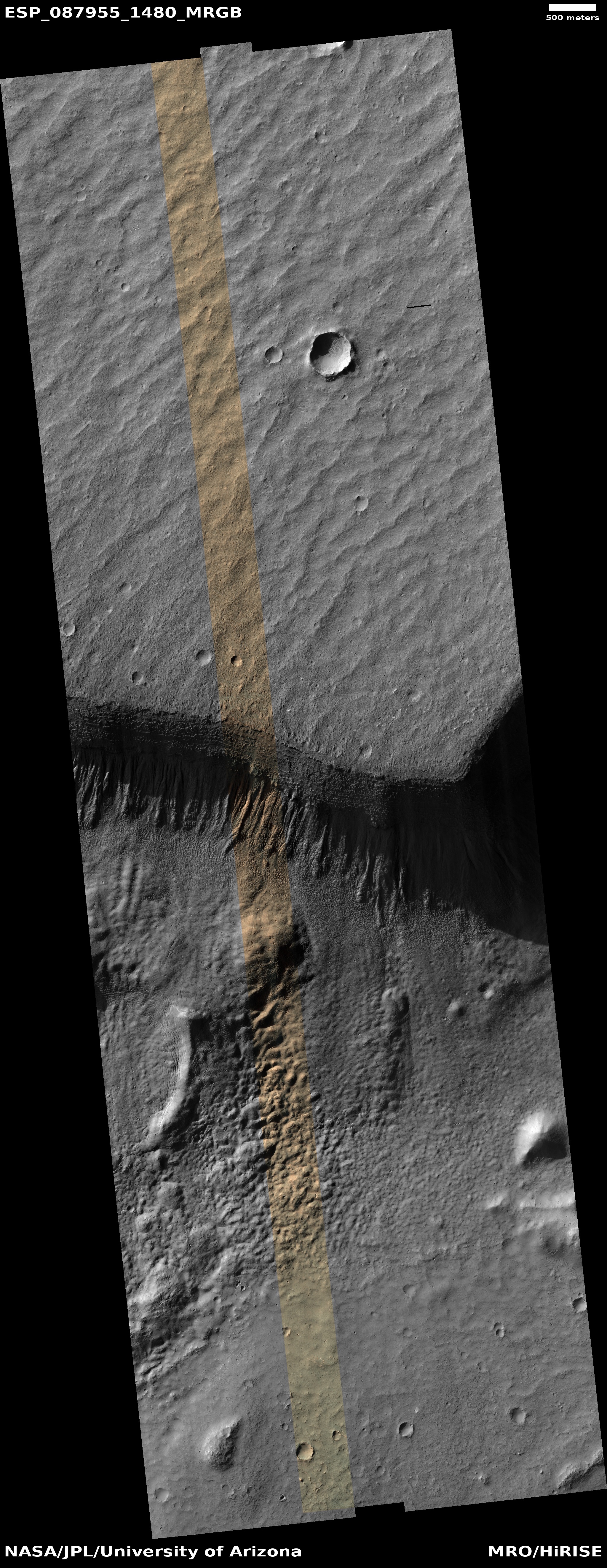
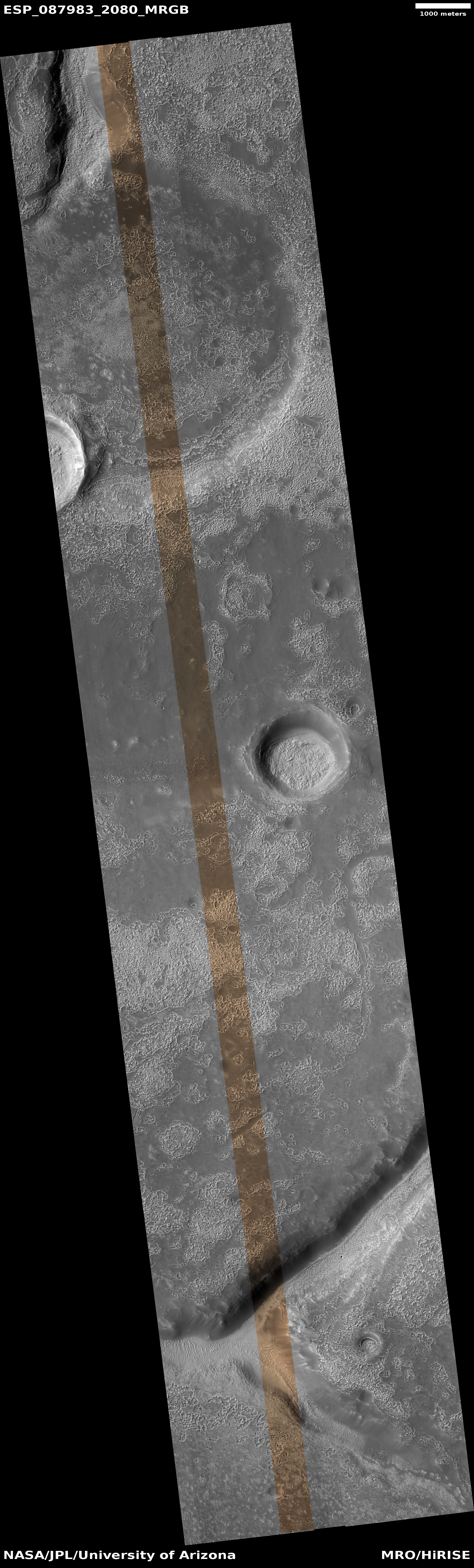
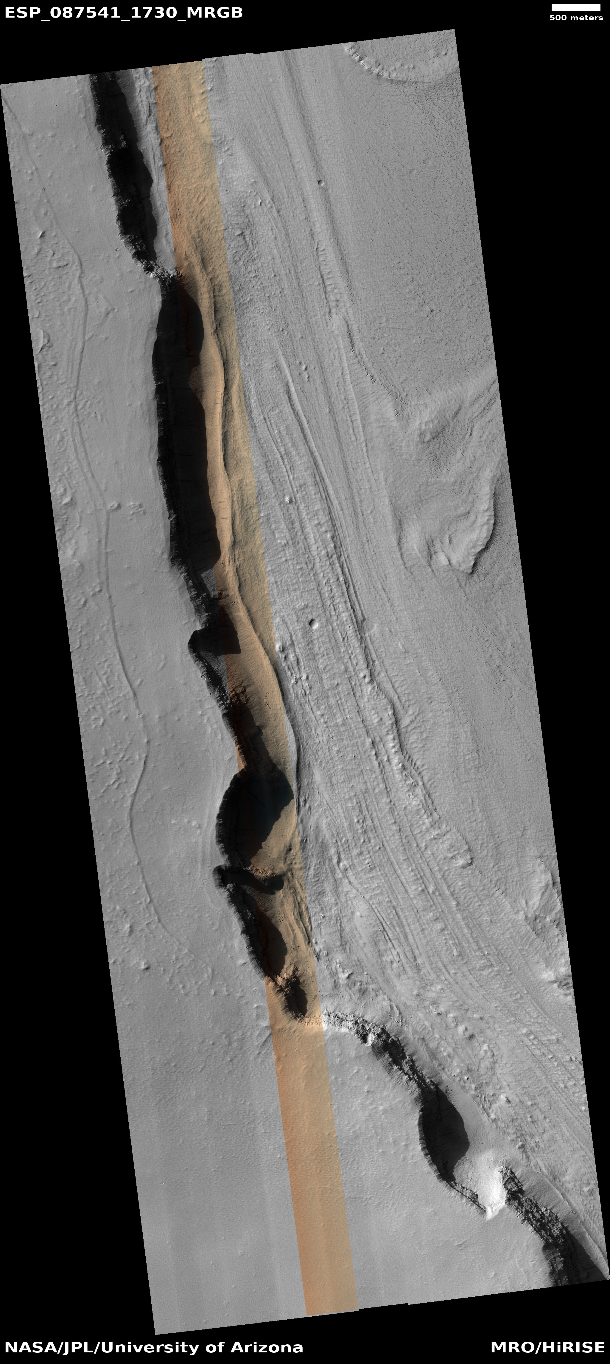
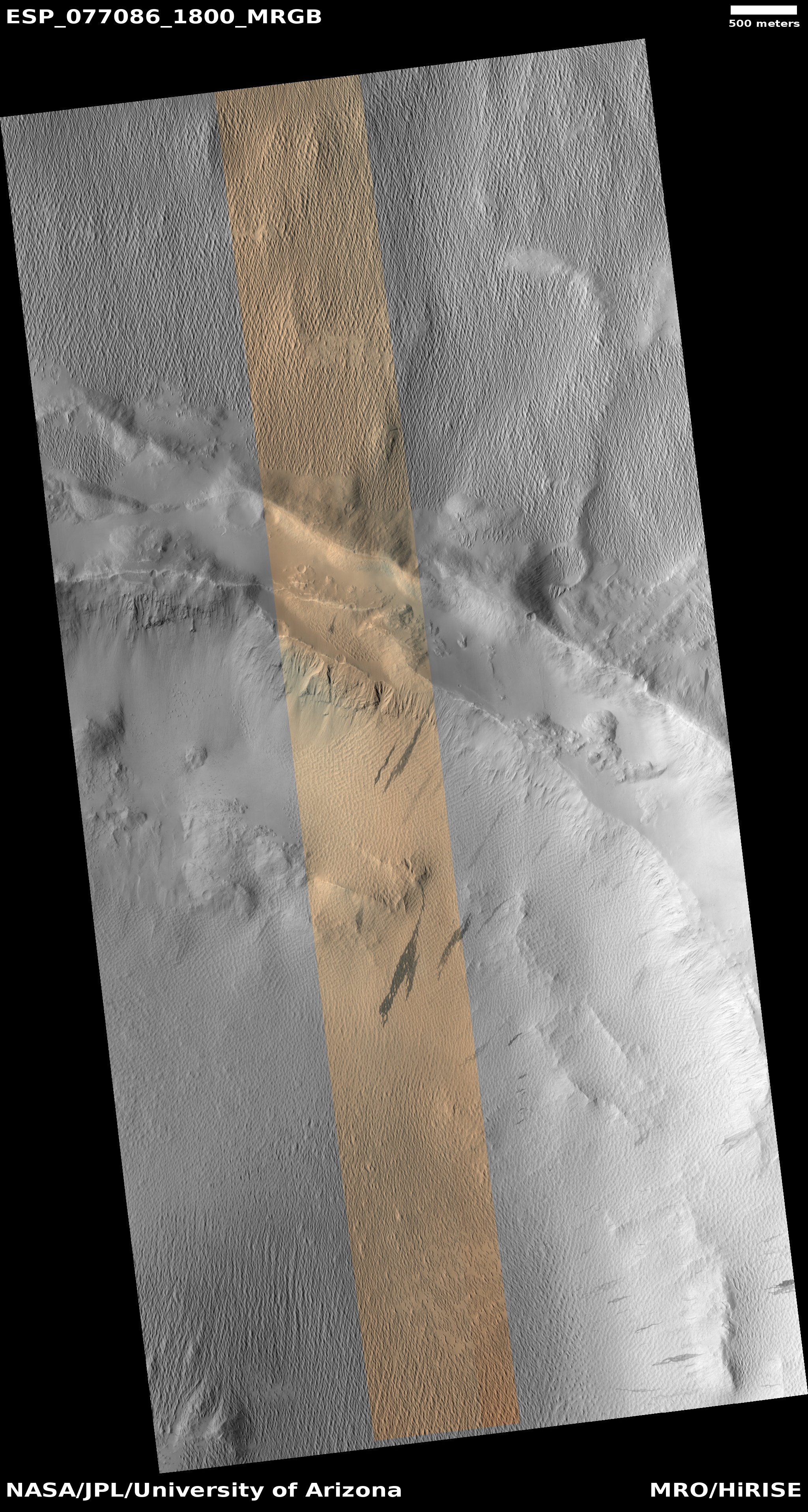
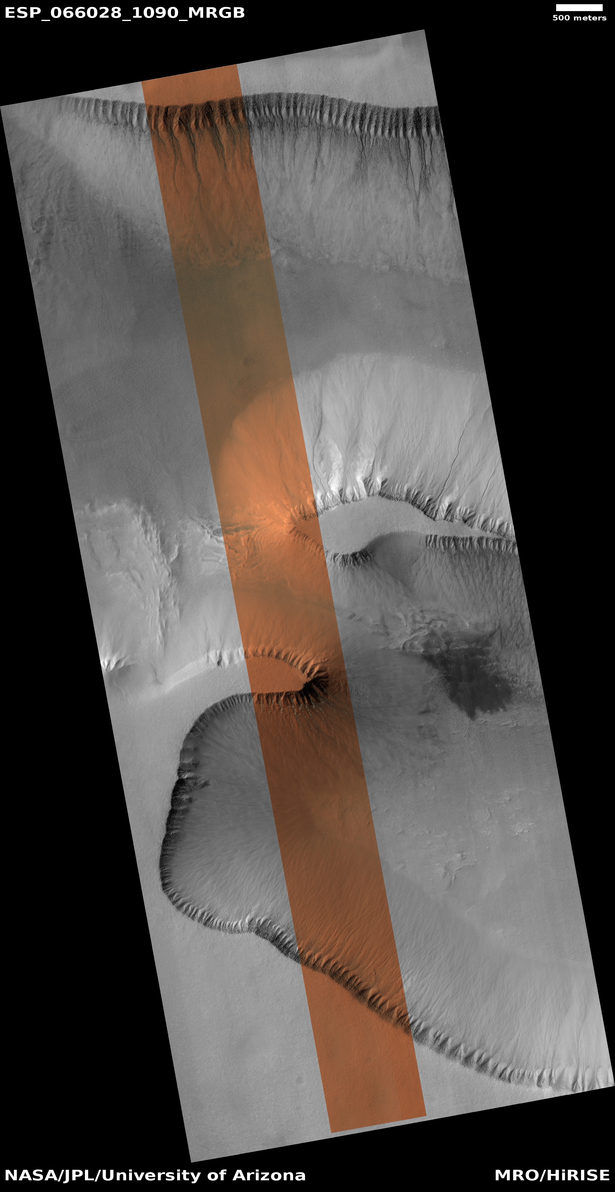
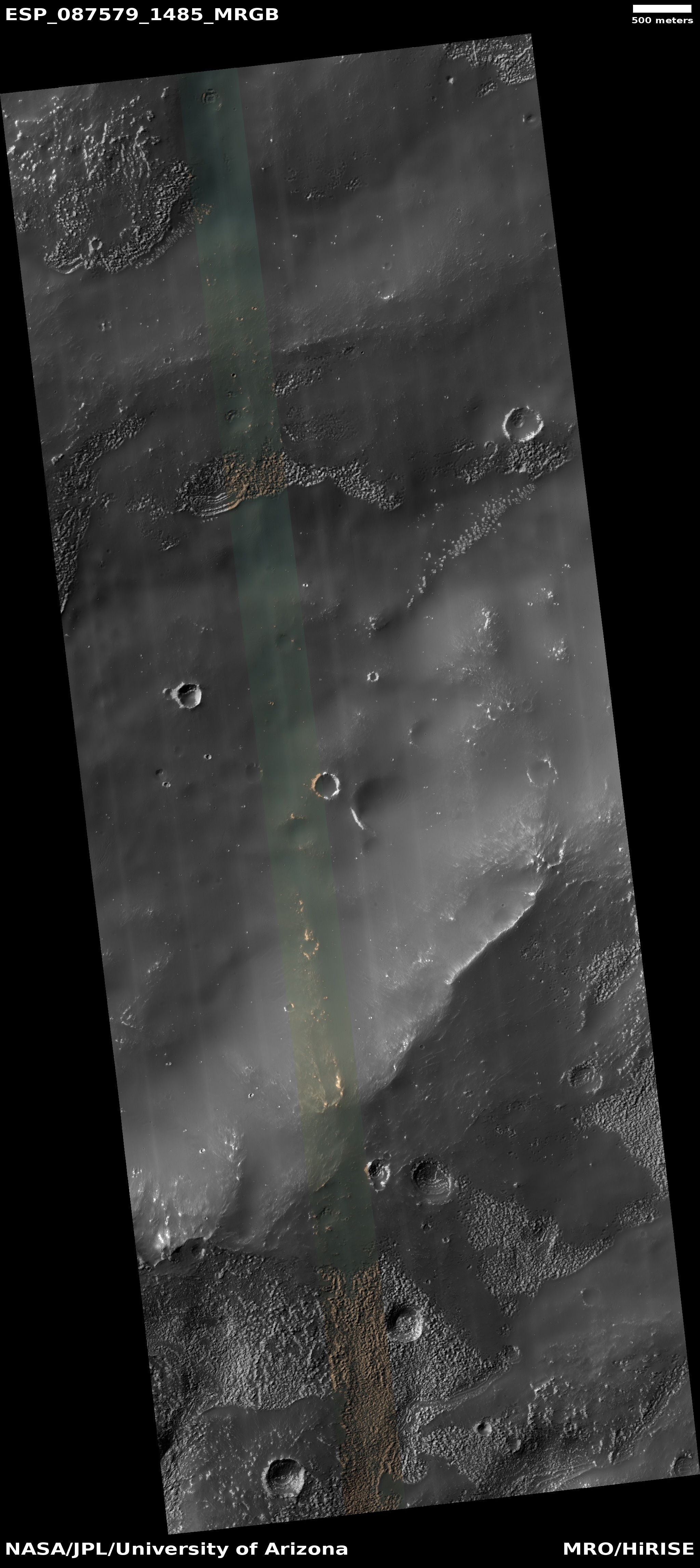
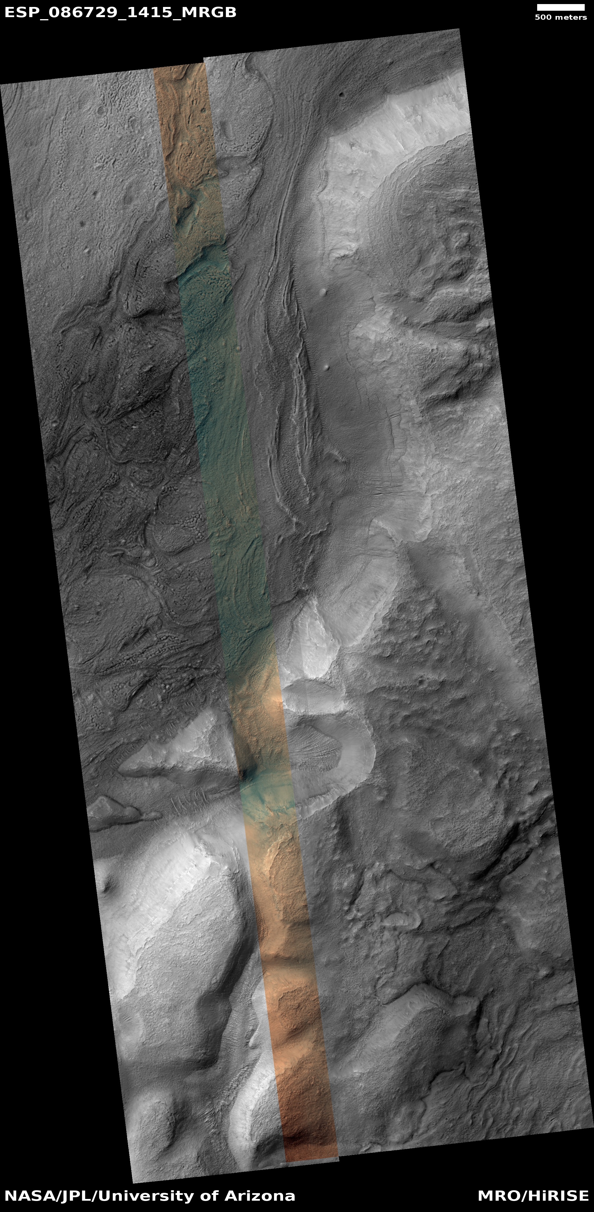
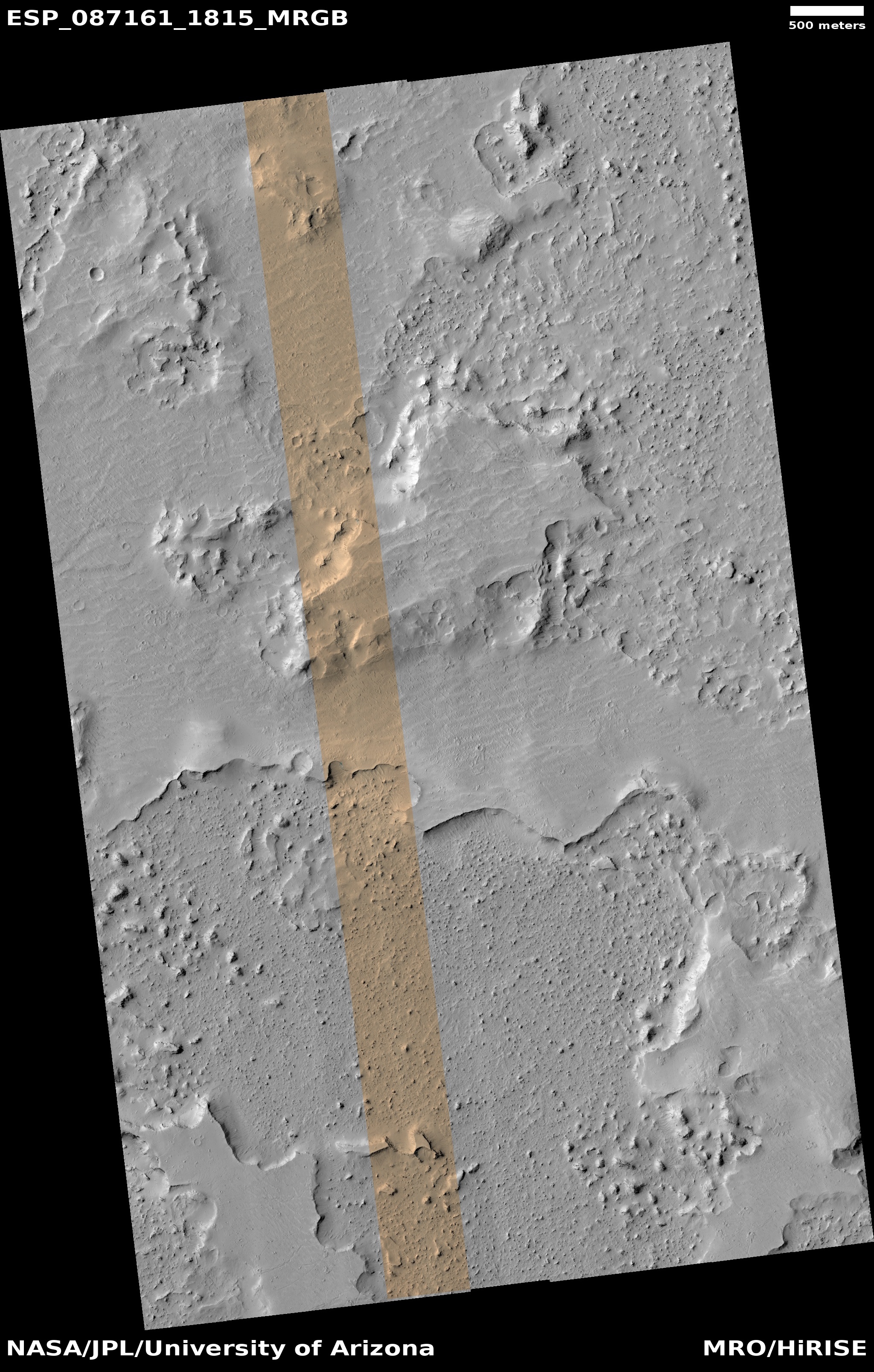
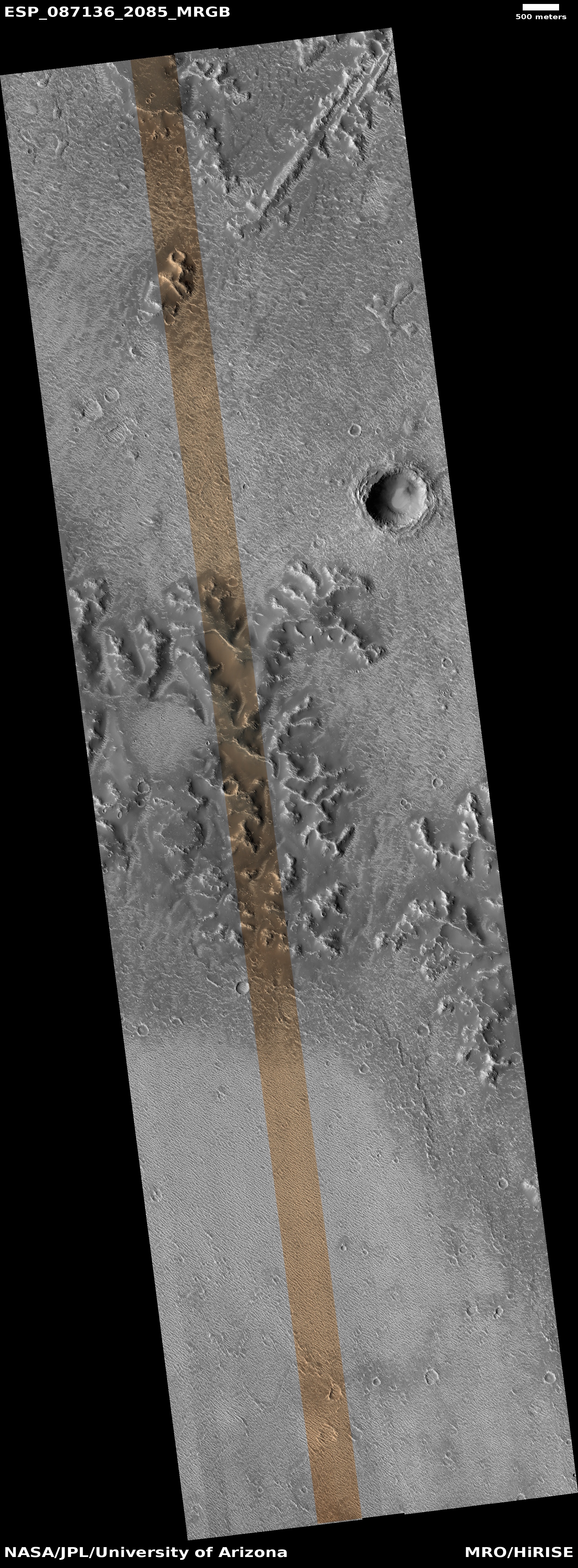
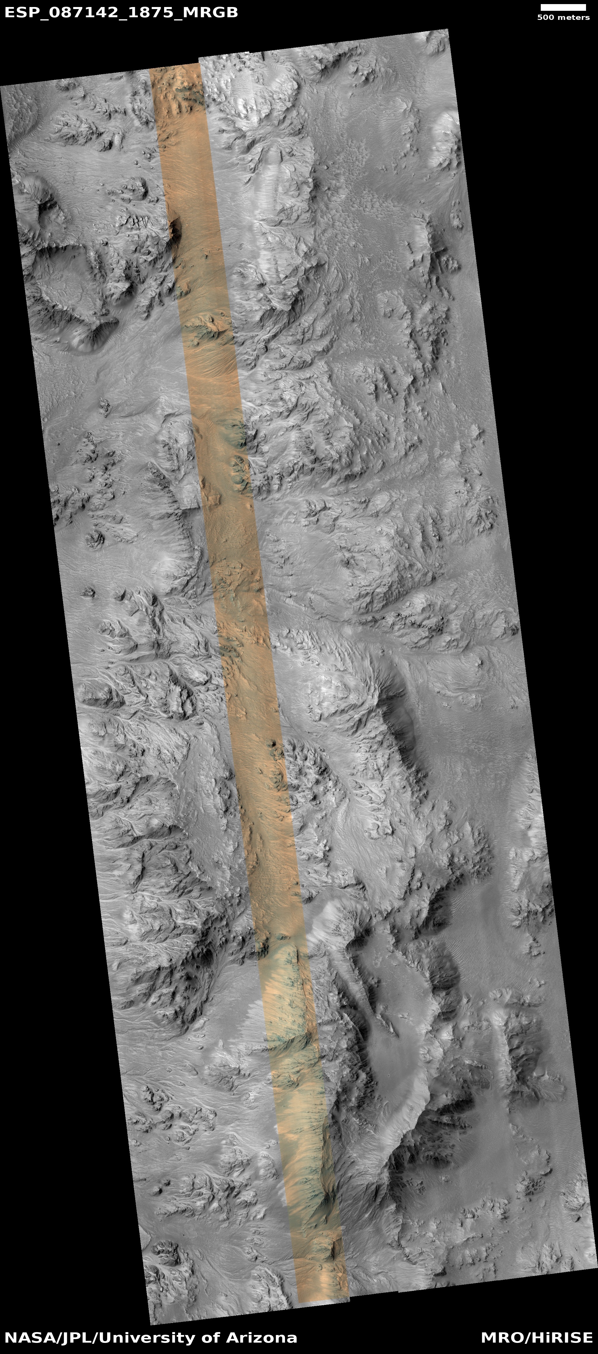
Orbital data in the past decade from both Mars Reconnaissance Orbiter and Mars Express has clearly shown that there is a lot of near surface ice on Mars, as shown by the map above. In the mid-latitudes the terrain is dominated by glaciers, as this is the region where the vast ice sheets in the high latitudes begin to fade away.
Only the equatorial region, indicated by the white lines on the map, is dry and barren. And yet, even here, orbital data has detected evidence that suggests underground ice still exists.
It seems to me that journalists and academic PR departments should know these facts, and include them in any reports about the dry nature of Mars’ equatorial regions.


