
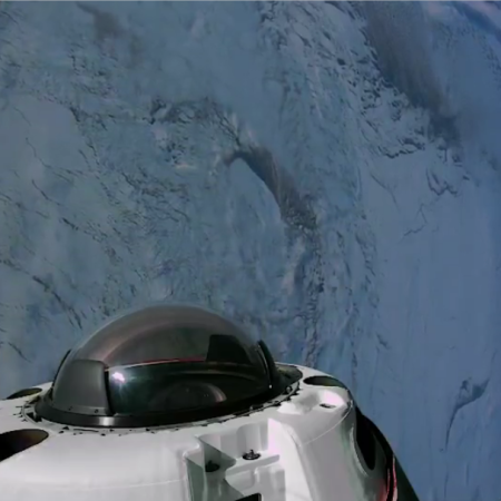
Fram2 private manned mission splashes down safely
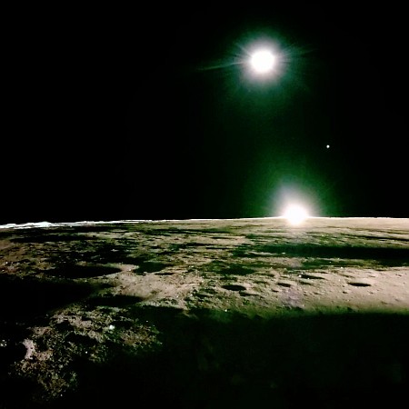
The Fram2 private commercial manned mission successfully ended today when SpaceX’s Resilience capsule splashed down safely off the coast of California.
The crew spent about four days in space, circling the Earth in the first polar orbit by a human crew.
This was SpaceX’s sixth privately funded manned mission. Three docked with ISS and were paid for by Axiom. Three flew independently, with two paid by Jared Isaacman and one by Chun Weng (which landed today). Plus Axiom has scheduled its next ISS commercial flight for May, 2025, using a new SpaceX capsule (bringing the company’s manned fleet to five spacecraft).
As I noted earlier this week, SpaceX is making space exploration profitable, which in turn makes the government irrelevant. And ain’t that a kick?


