
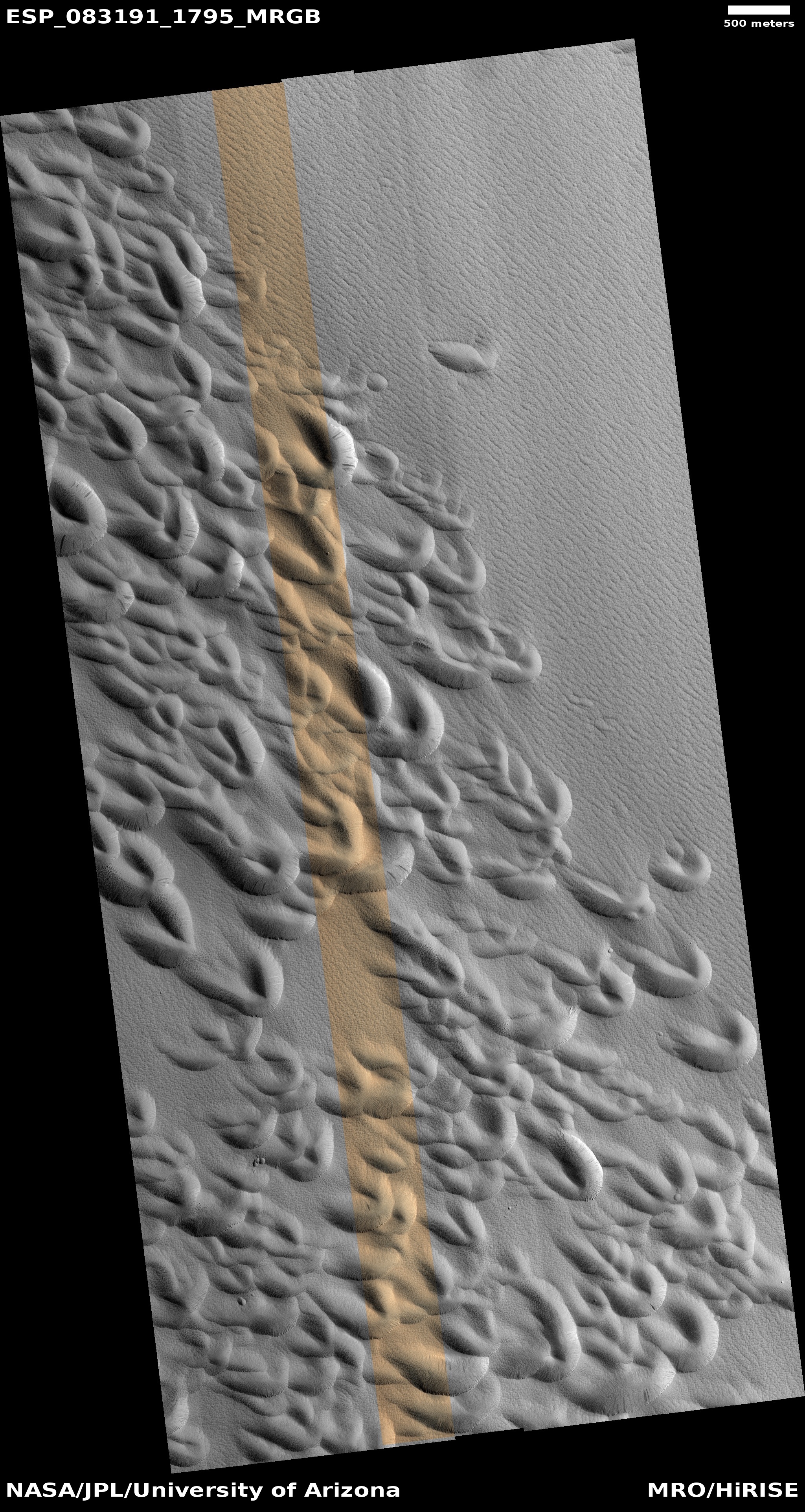
A drainage gully on Mars?

Click for original image.
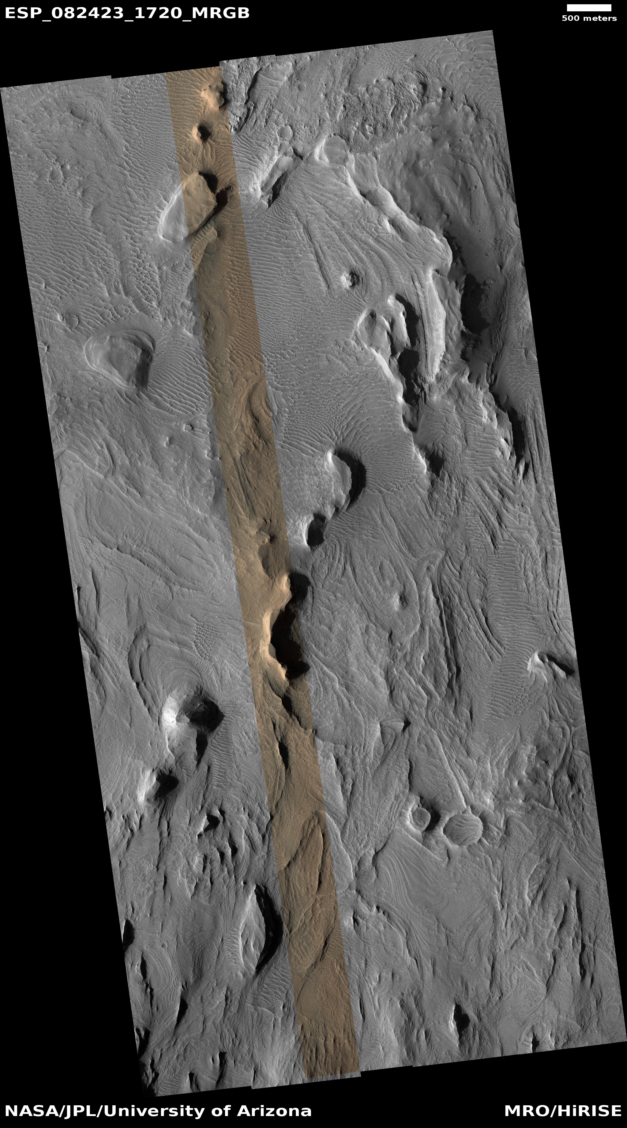
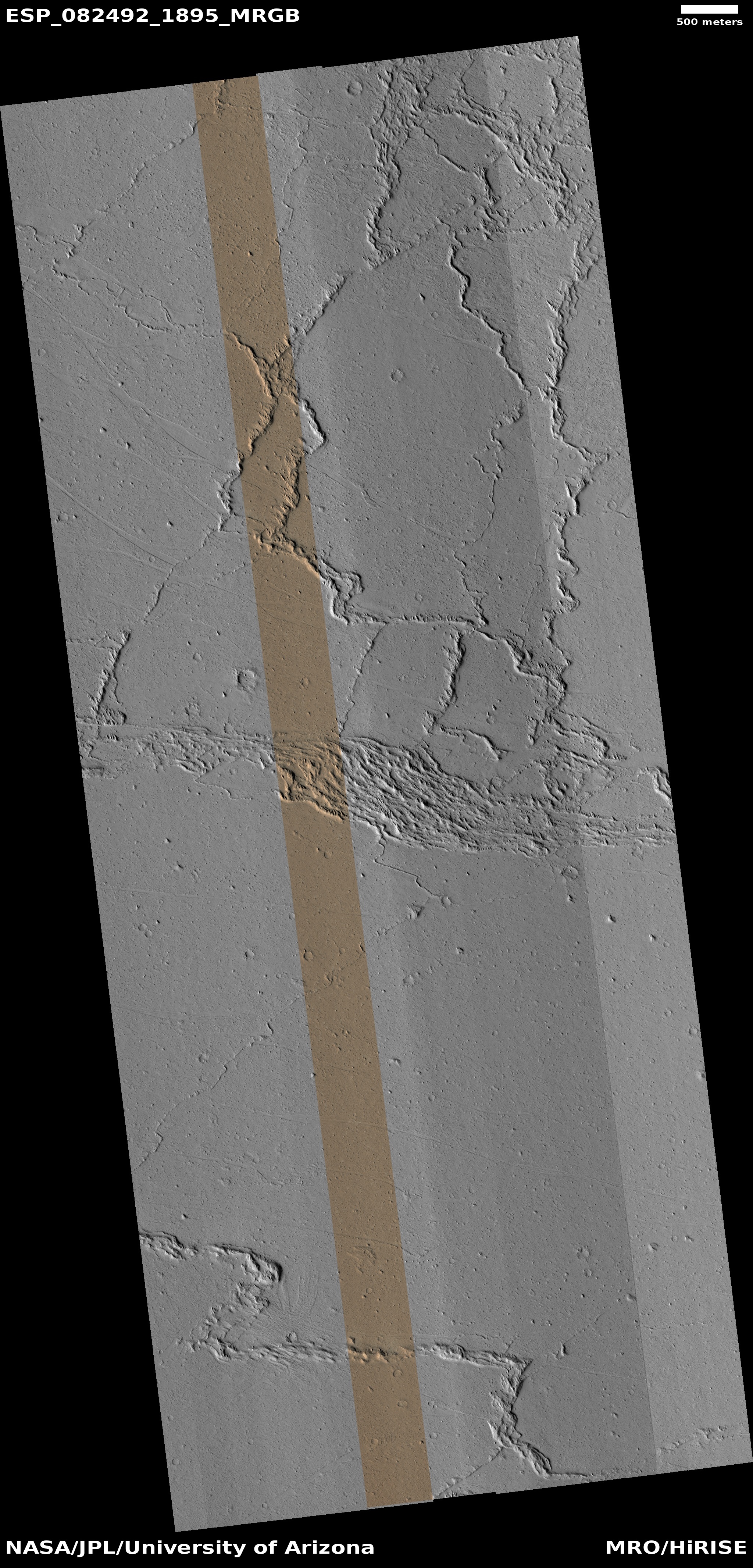
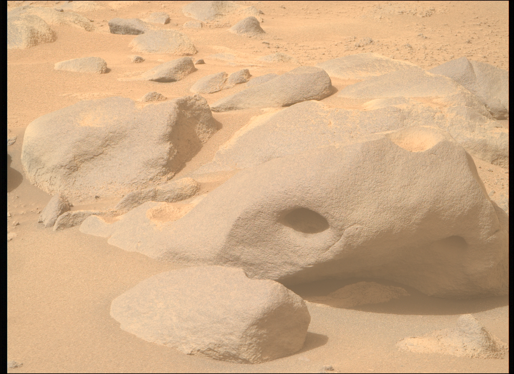
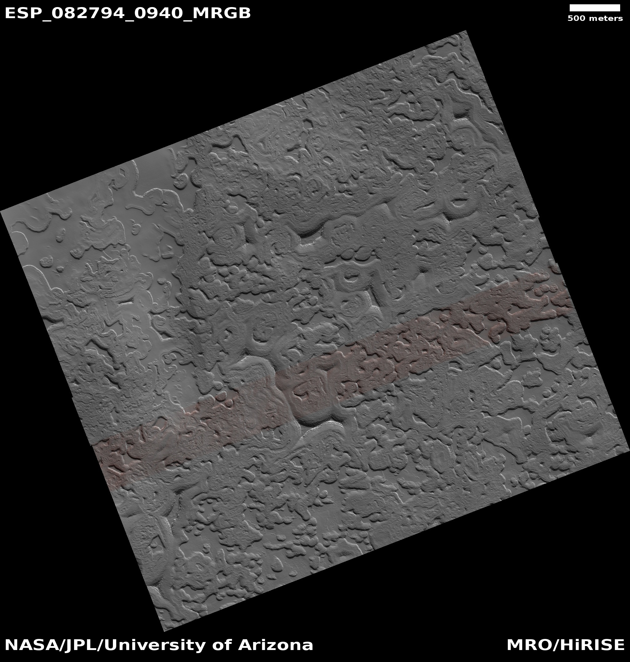
Cool image time! The picture above, cropped, reduced, and sharpened to post here, was taken on April 18, 2024 by the high resolution camera on Mars Reconnaissance Orbiter (MRO). It shows a gully that cuts down from the western rim of a 21-mile-wide unnamed crater in the southern cratered highlands of Mars.
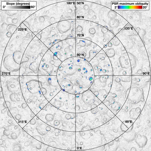
The small rectangle on the overview map to the right marks the location, with the inset providing a close-up of this crater, with the white bar indicating the area covered by the photo above. The overall elevation loss from the rim on the left down to the crater floor on the right is about 3,800 feet.
The first high resolution picture of this gully was taken in 2016, with subsequent pictures taken in 2021 and 2022. In comparing the newest picture above with the 2016 photo I can detect no changes, but I am not looking a the highest resolution available. In addition, both of these pictures were taken during the Martian spring. The 2021 and 2022 pictures were taken during the Martian summer, and in both the north-facing wall where the gully is beginning to narrow seemed brighter.
It is likely the researchers are looking to see if any frost — either ice or dry ice — appeared during the winter and then sublimated away in the summer. Such a change could cause some of the erosion that produced this gully.

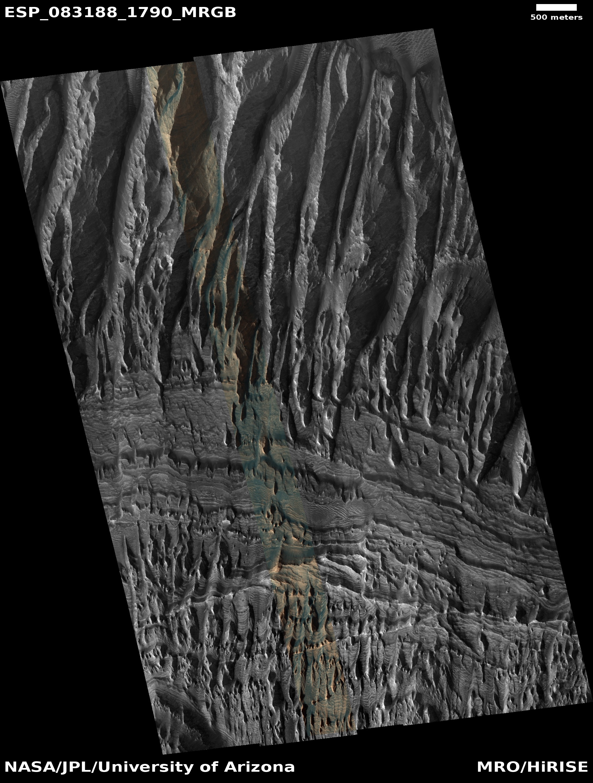
Click for original image.

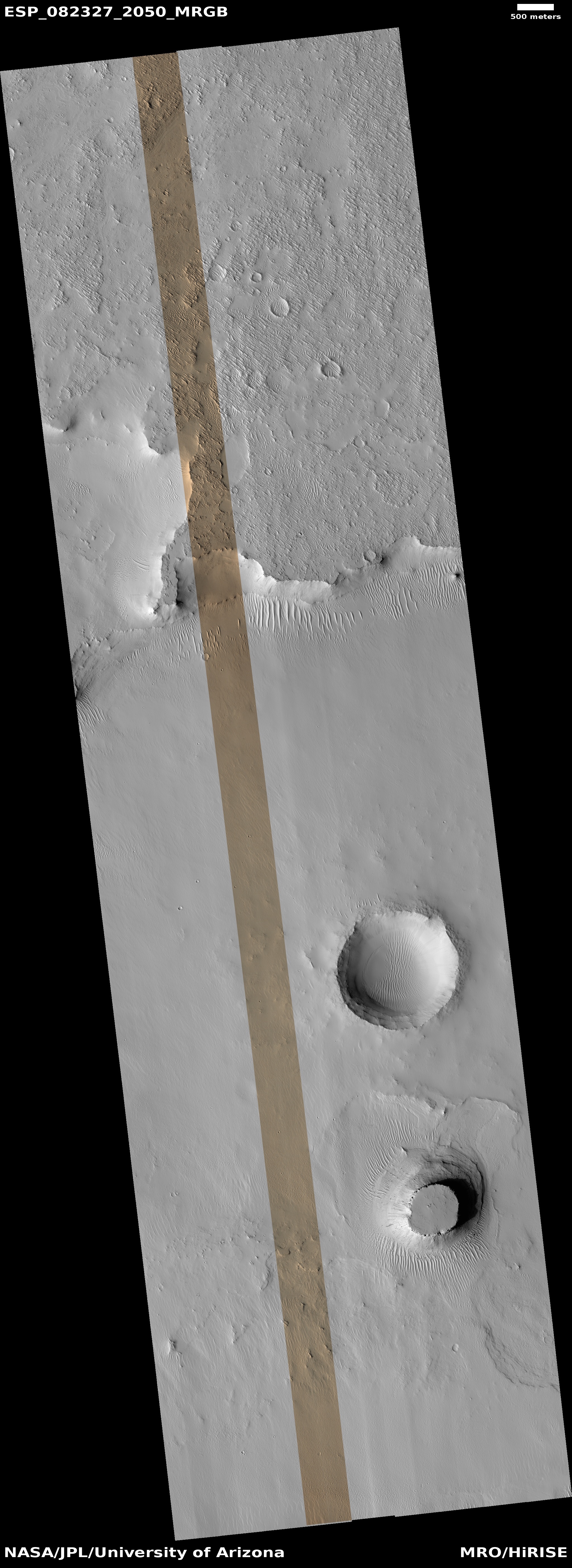
Cool image time! The picture above, cropped, reduced, and sharpened to post here, was taken on April 18, 2024 by the high resolution camera on Mars Reconnaissance Orbiter (MRO). It shows a gully that cuts down from the western rim of a 21-mile-wide unnamed crater in the southern cratered highlands of Mars.
The small rectangle on the overview map to the right marks the location, with the inset providing a close-up of this crater, with the white bar indicating the area covered by the photo above. The overall elevation loss from the rim on the left down to the crater floor on the right is about 3,800 feet.
The first high resolution picture of this gully was taken in 2016, with subsequent pictures taken in 2021 and 2022. In comparing the newest picture above with the 2016 photo I can detect no changes, but I am not looking a the highest resolution available. In addition, both of these pictures were taken during the Martian spring. The 2021 and 2022 pictures were taken during the Martian summer, and in both the north-facing wall where the gully is beginning to narrow seemed brighter.
It is likely the researchers are looking to see if any frost — either ice or dry ice — appeared during the winter and then sublimated away in the summer. Such a change could cause some of the erosion that produced this gully.


