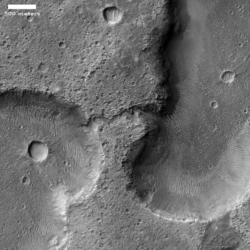
Drainage channel between two Martian hollows
Click for original image.
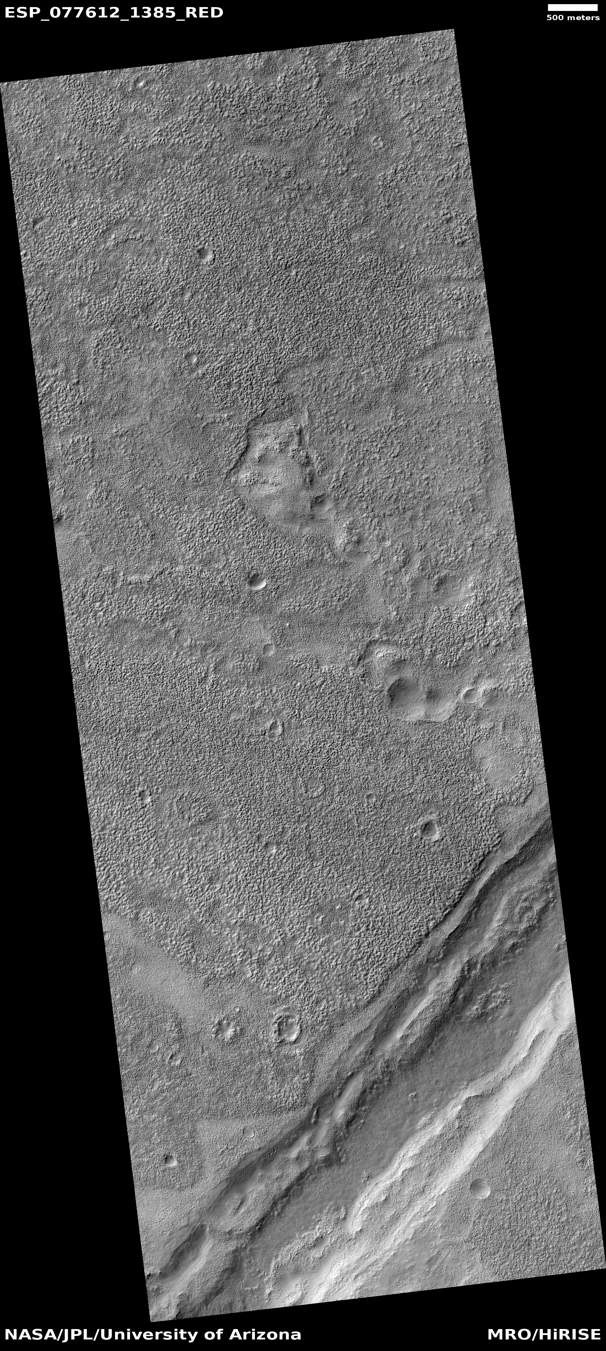
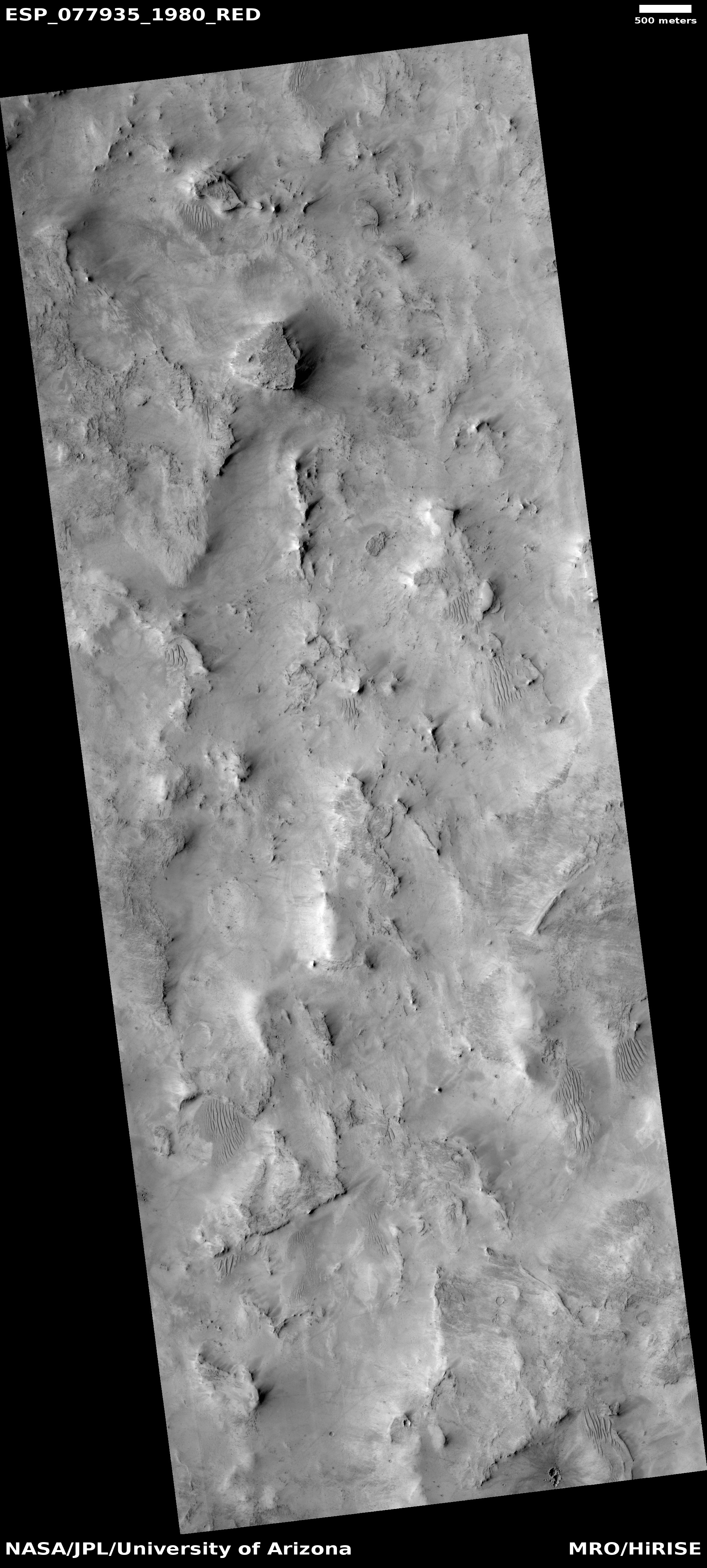
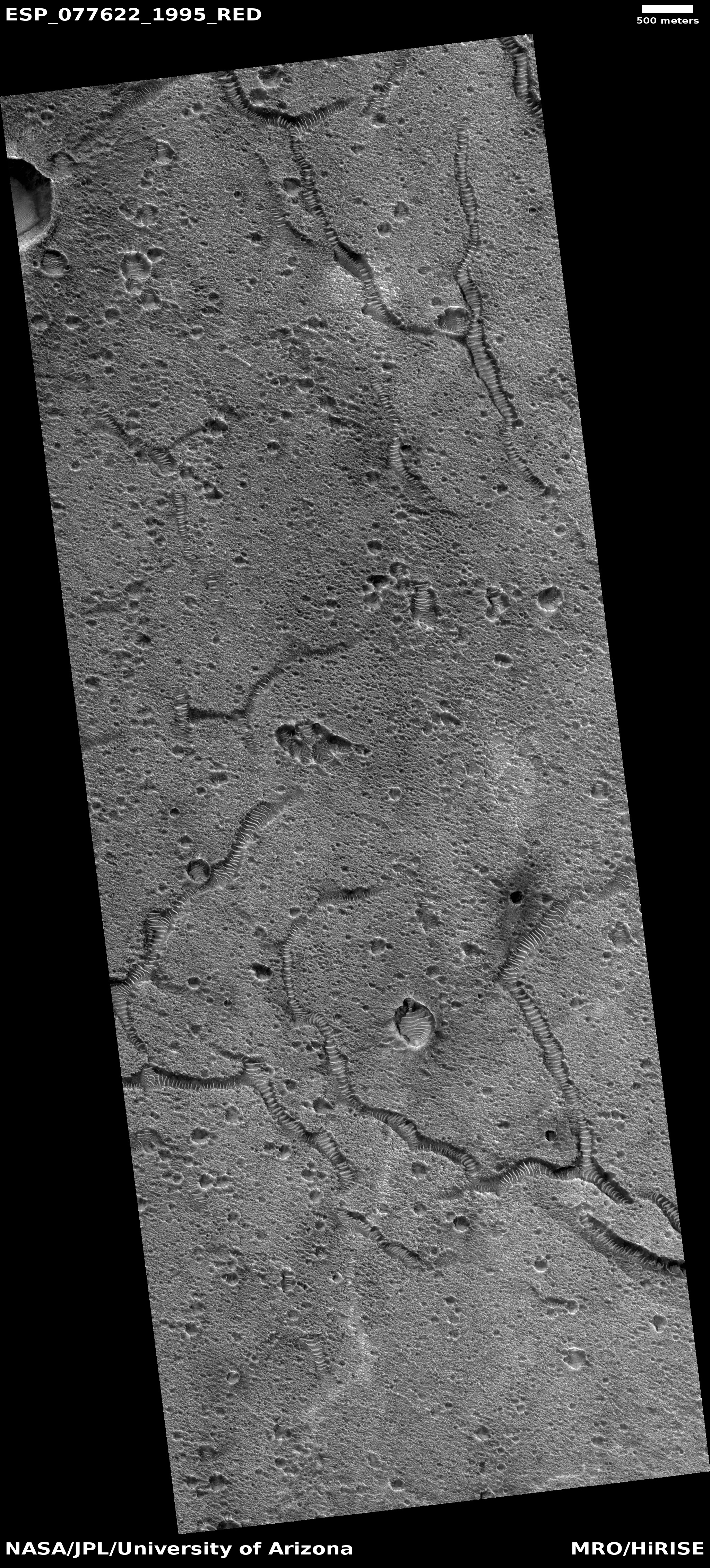
Cool image time! The picture to the right, cropped, reduced, and sharpened to post here, was taken on April 28, 2023 by the high resolution camera on Mars Reconnaissance Orbiter (MRO). Dubbed a “terrain sample” by the camera team, it was likely taken not as part of any specific research project but to fill a gap in the camera’s schedule so as to maintain that camera’s proper temperature. When they have to do this, they try to pick interesting targets, though there is no guarantee the result will be very interesting.
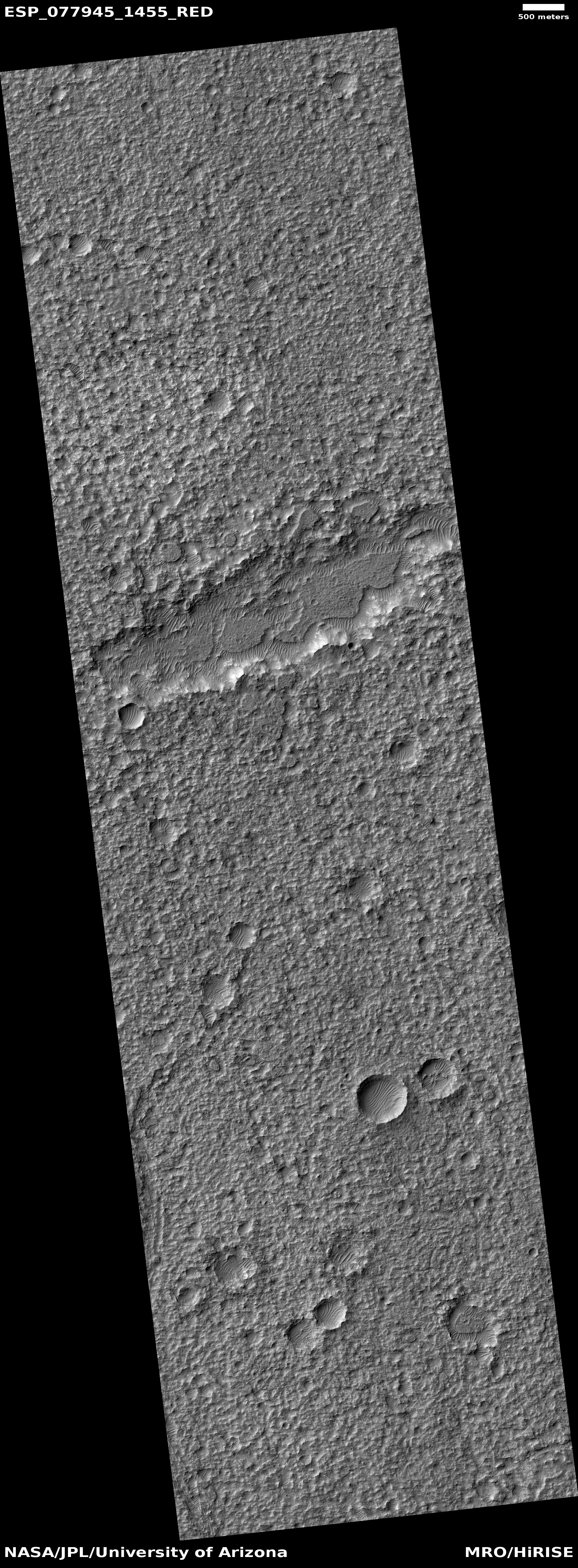
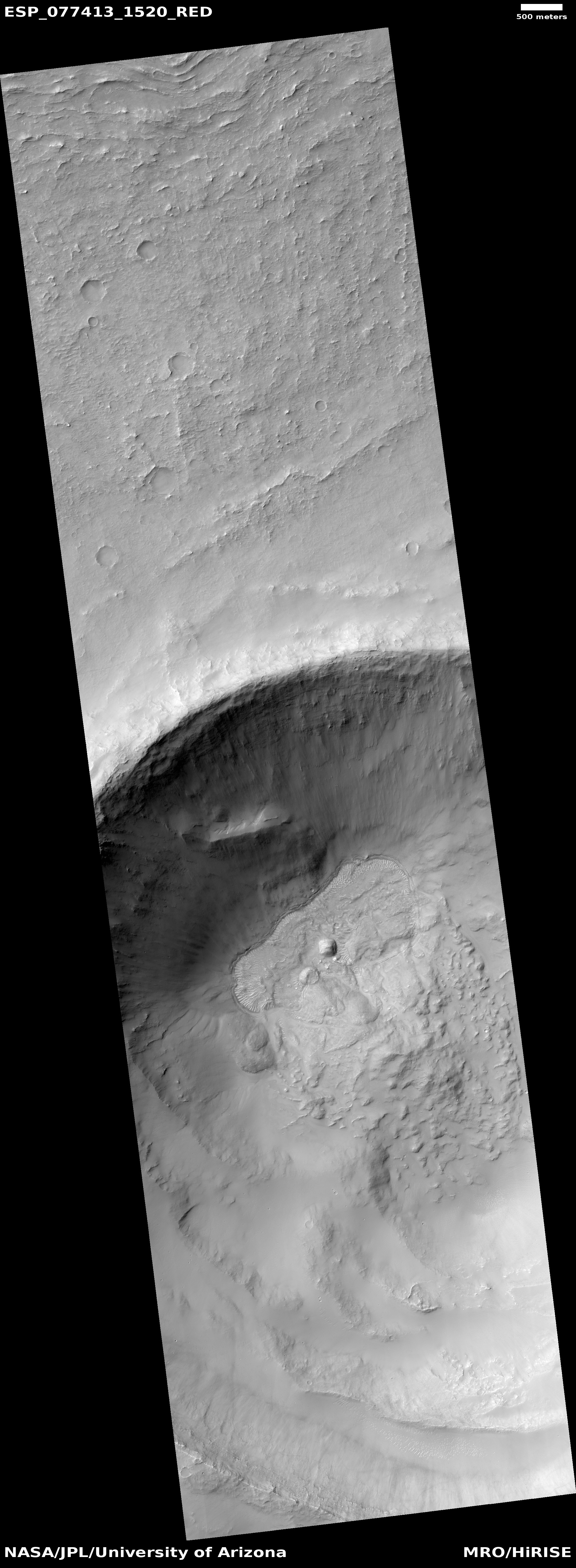
In this case the camera snapped what appears to be a drainage channel between two deeper hollows. The channel sits about 100 feet above the western hollow and 260 feet above the eastern hollow. This makes some sense, as the overall drainage in this region is going from the west to the east, and then to the north.
» Read more

Click for original image.
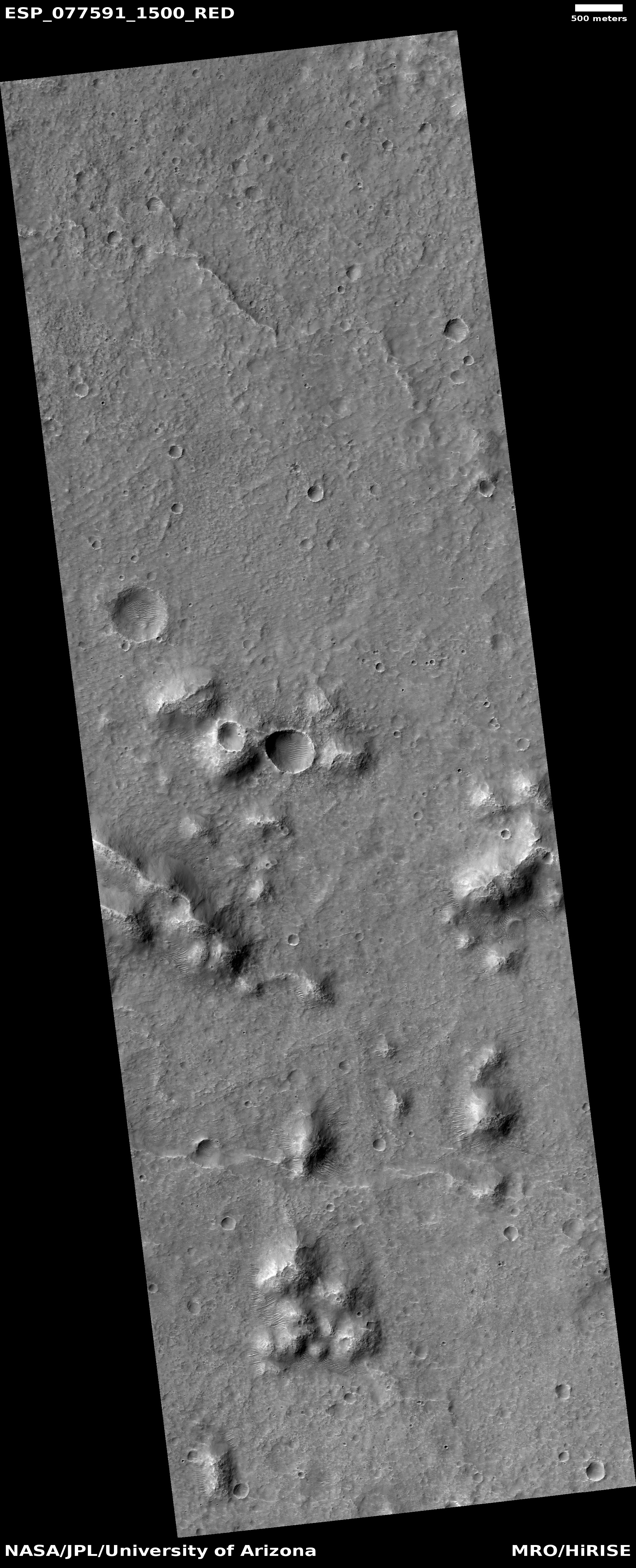
Cool image time! The picture to the right, cropped, reduced, and sharpened to post here, was taken on April 28, 2023 by the high resolution camera on Mars Reconnaissance Orbiter (MRO). Dubbed a “terrain sample” by the camera team, it was likely taken not as part of any specific research project but to fill a gap in the camera’s schedule so as to maintain that camera’s proper temperature. When they have to do this, they try to pick interesting targets, though there is no guarantee the result will be very interesting.
In this case the camera snapped what appears to be a drainage channel between two deeper hollows. The channel sits about 100 feet above the western hollow and 260 feet above the eastern hollow. This makes some sense, as the overall drainage in this region is going from the west to the east, and then to the north.
» Read more