
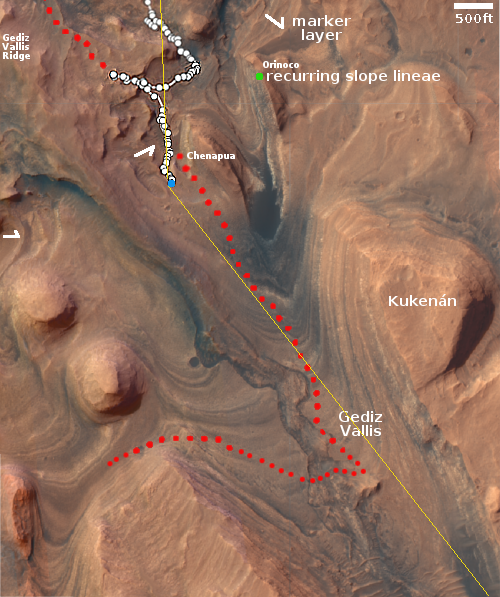
A rash on Mars
Click for original image.
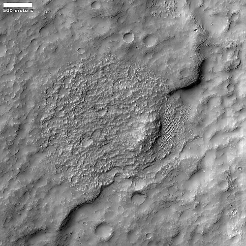
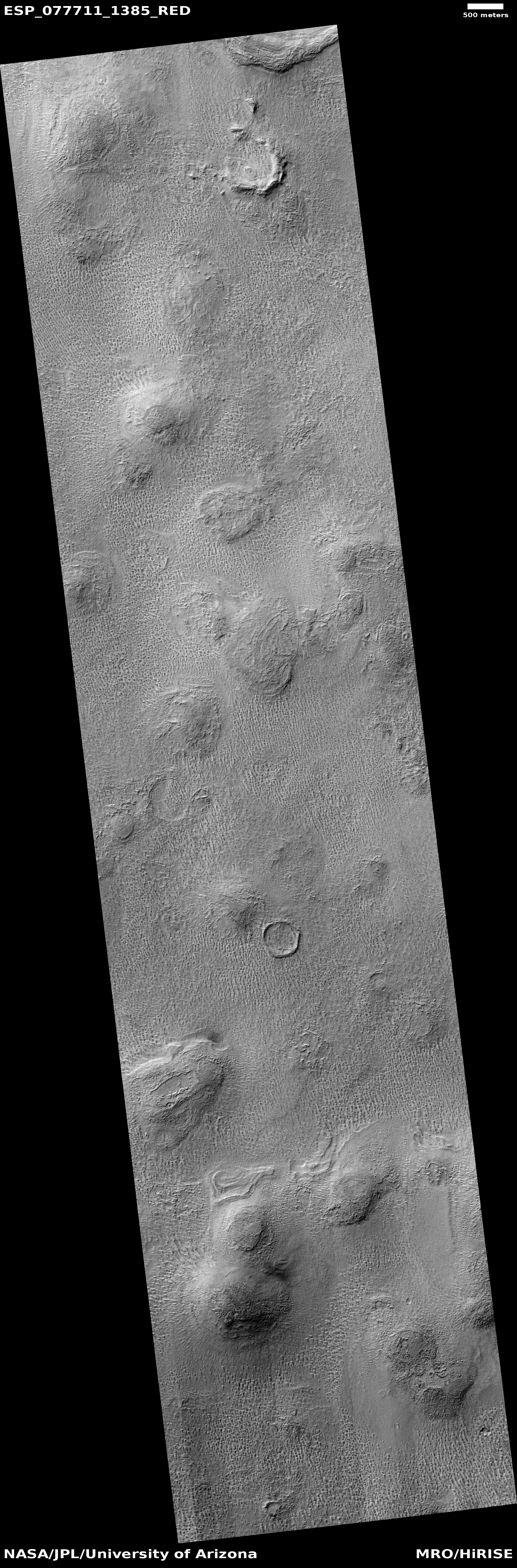
Cool image time! The picture to the right, rotated, cropped, reduced, and sharpened to post here, was taken on January 30, 2023 by the high resolution camera on Mars Reconnaissance Orbiter (MRO). The science team labeled this a “Circular Outcrop of Bright Rock.
What I see is a Martian skin rash. Based on the ripple pattern below the ridge one might think we are looking at sand dunes, except that the rash above the cliff has no such pattern. Instead, the ground in this one particular area looks very roughened in a random sort of way.
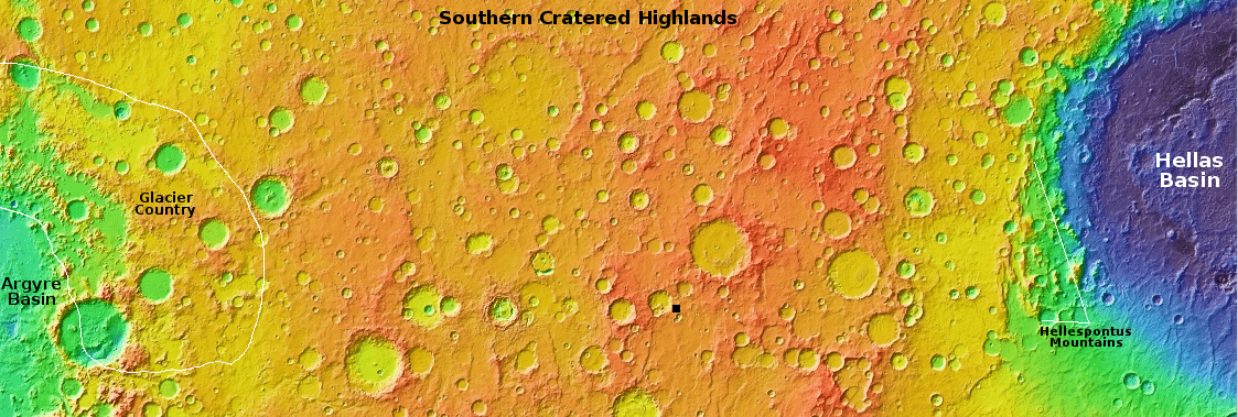
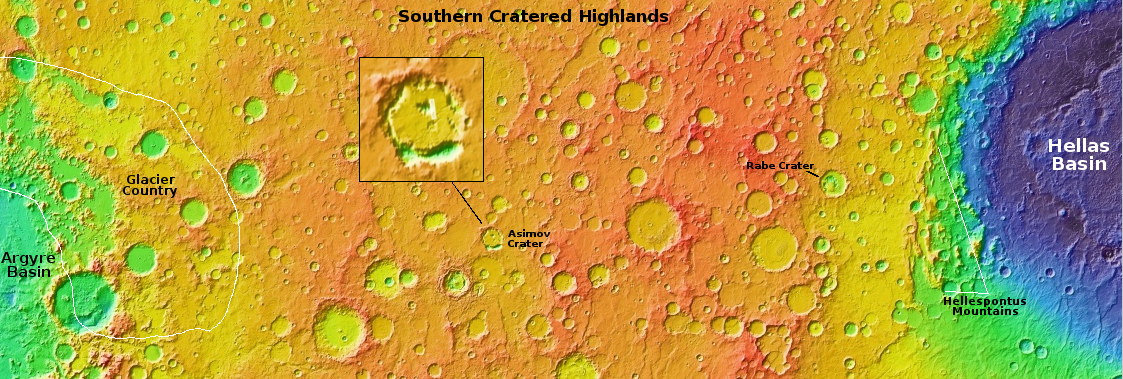
The location at 27 degrees south latitude suggests there is little near surface ice at this location to cause this feature. The overview map below provides another but not very helpful possibility.
» Read more

Click for original image.
Cool image time! The picture to the right, rotated, cropped, reduced, and sharpened to post here, was taken on January 30, 2023 by the high resolution camera on Mars Reconnaissance Orbiter (MRO). The science team labeled this a “Circular Outcrop of Bright Rock.
What I see is a Martian skin rash. Based on the ripple pattern below the ridge one might think we are looking at sand dunes, except that the rash above the cliff has no such pattern. Instead, the ground in this one particular area looks very roughened in a random sort of way.
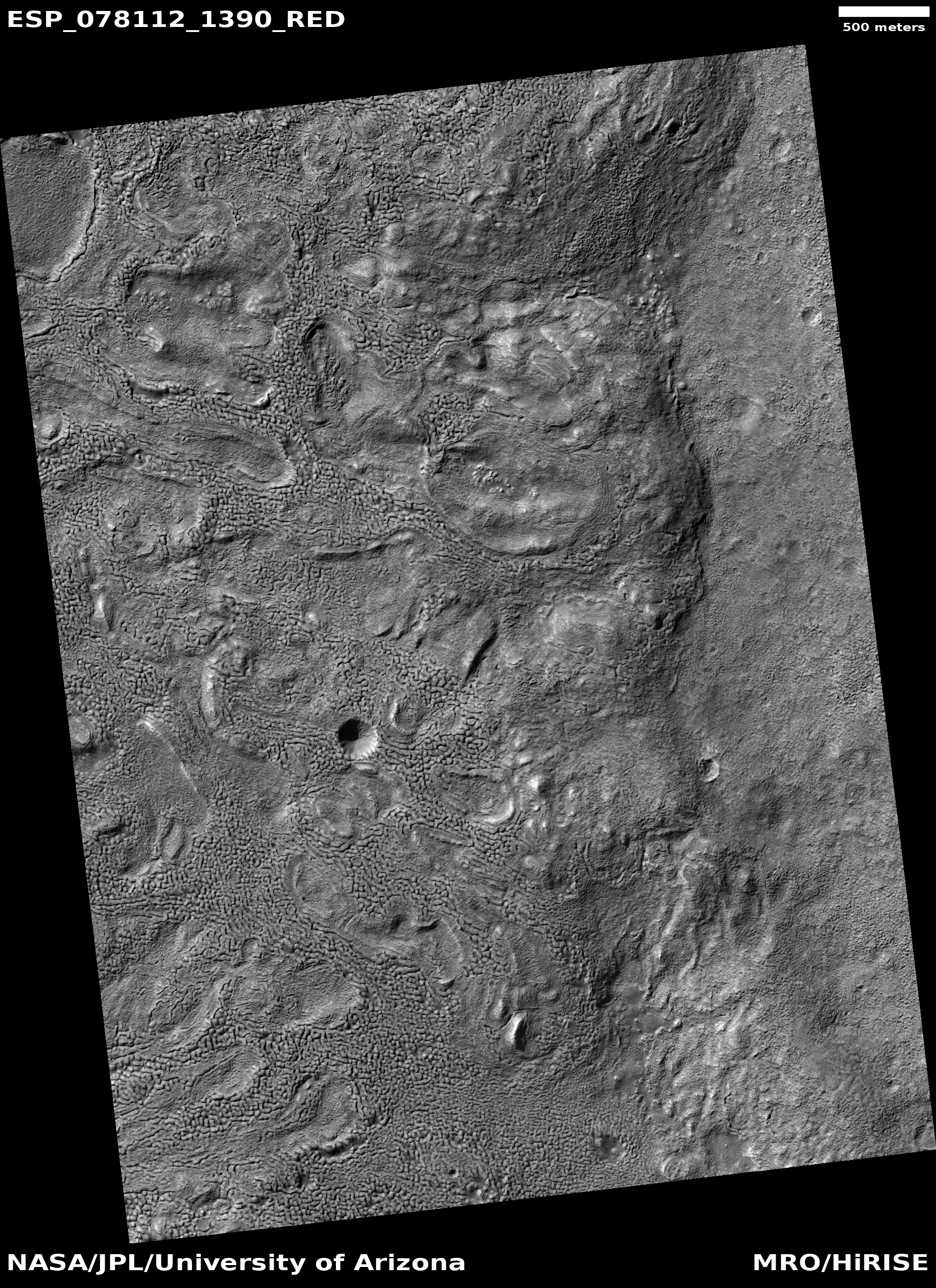
The location at 27 degrees south latitude suggests there is little near surface ice at this location to cause this feature. The overview map below provides another but not very helpful possibility.
» Read more


