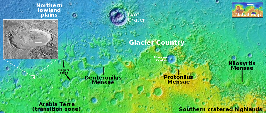
Gullies and avalanches in Martian crater
Click for original image.
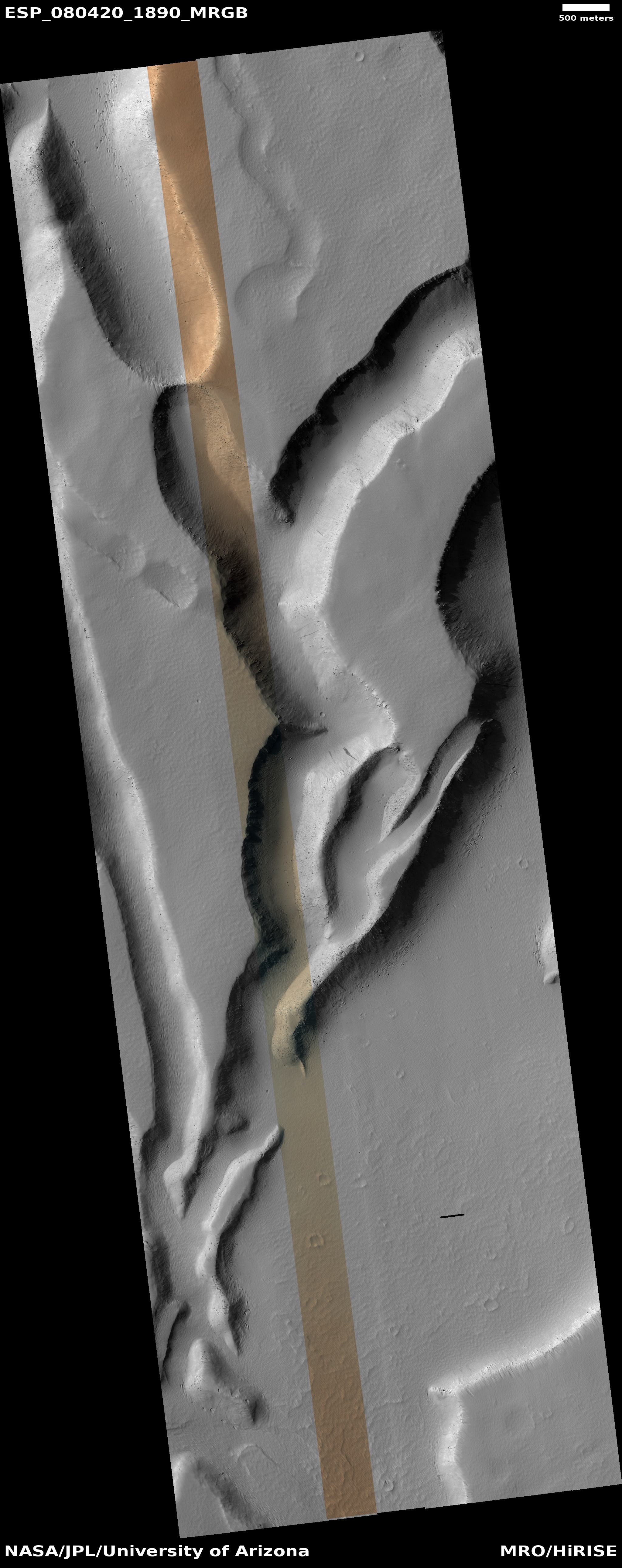
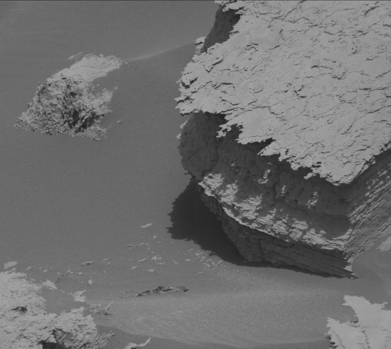
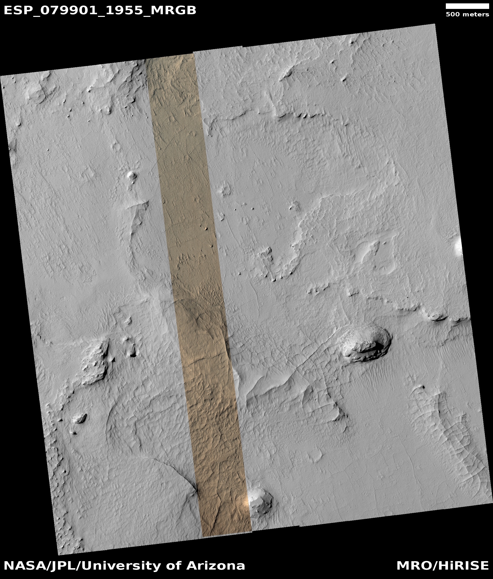
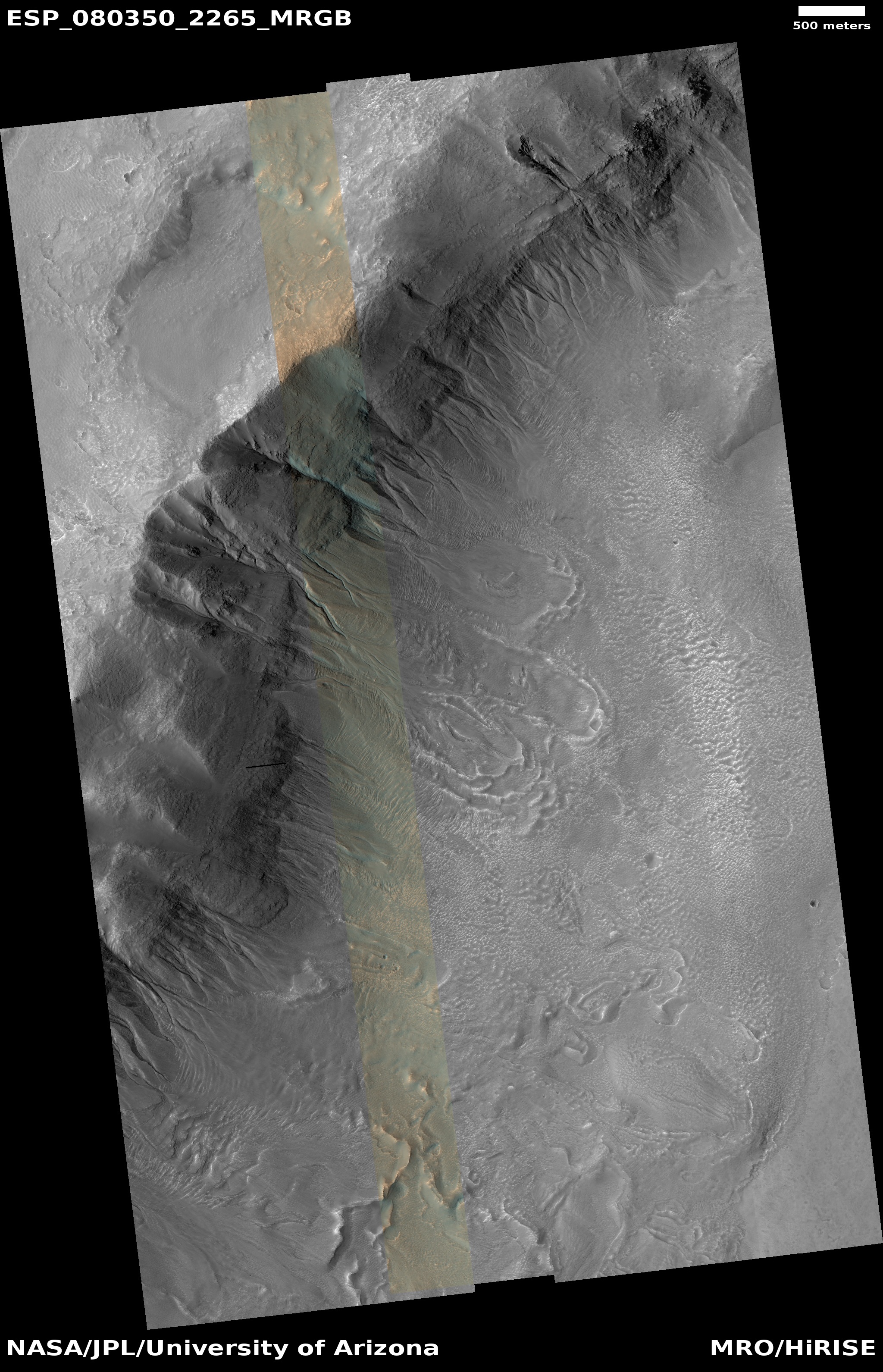
Cool image time! The picture to the right, cropped, reduced, and sharpened to post here, was taken on September 17, 2023 by the high resolution camera on Mars Reconnaissance Orbiter (MRO). It shows two significant features, both of which suggest the action of near-surface water ice to change to surface of Mars.
First are the gullies on the cliff wall, which also happens to be the interior slope of a 30-mile-wide crater. Since the first discovery of gullies on Mars, scientists have pondered their origin, with all their hypothesises always pointing to some form of water process. One popular theory [pdf] points to some form of intermittent water flow linked to long term climate cycles caused by the extreme shifts in the red planet’s rotational tilt, from 11 to 60 degrees. Another theory suggests the gullies form from the winter-summer freeze-thaw cycle and the accumulation of frost during winter.
The second feature are the three avalanche debris piles at the base of these gullies. The long extent of each suggests the avalanches flowed more like wet mud than falling rocks. If the ground here was impregnated with ice, than this look makes sense.
» Read more