
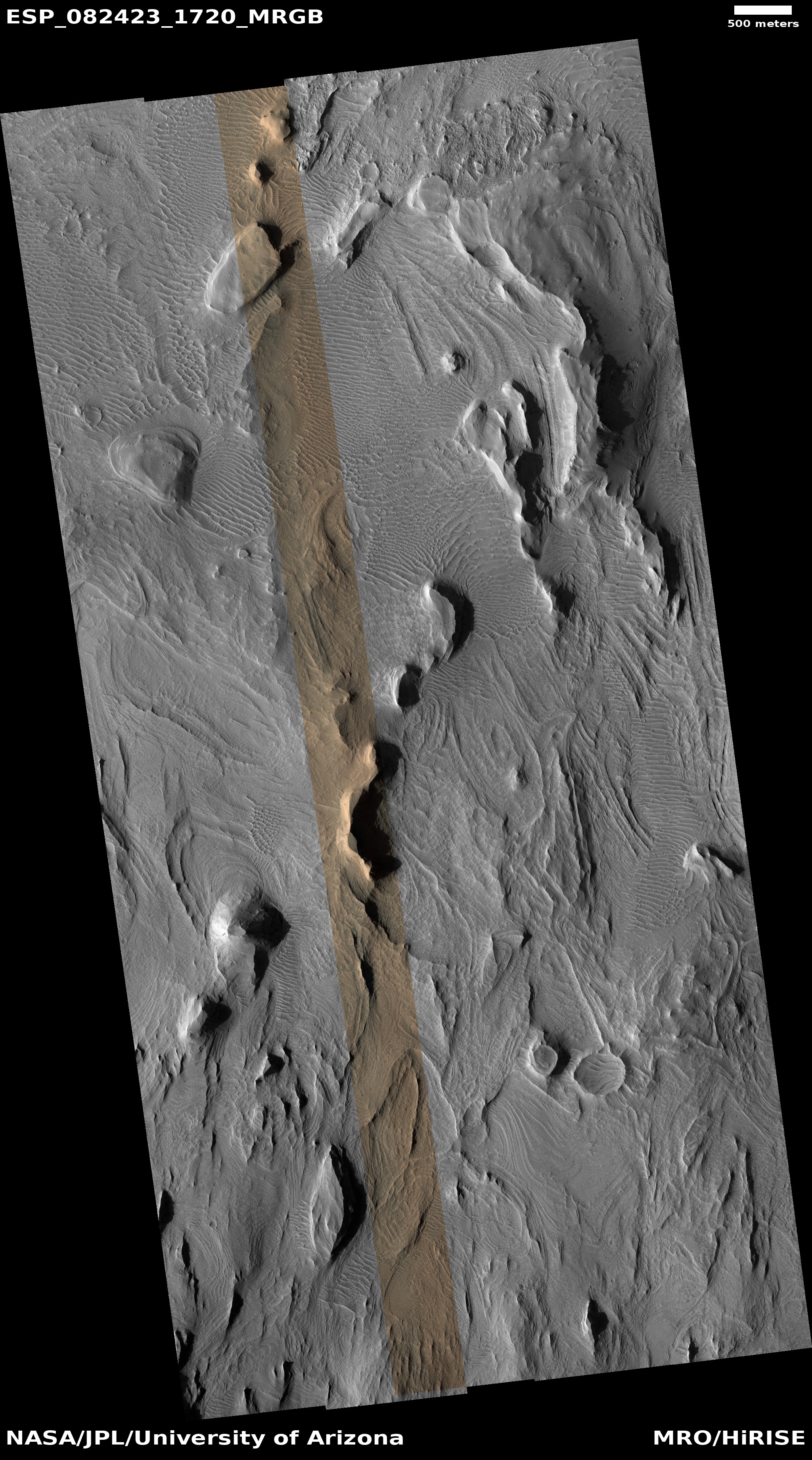
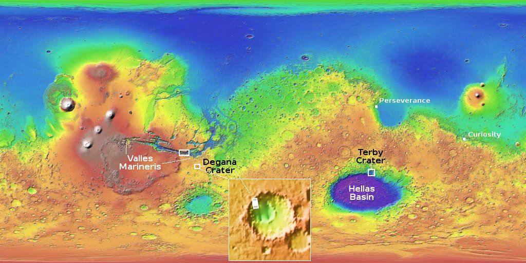
The edge of a vast frozen lava sea on Mars

Click for original image.
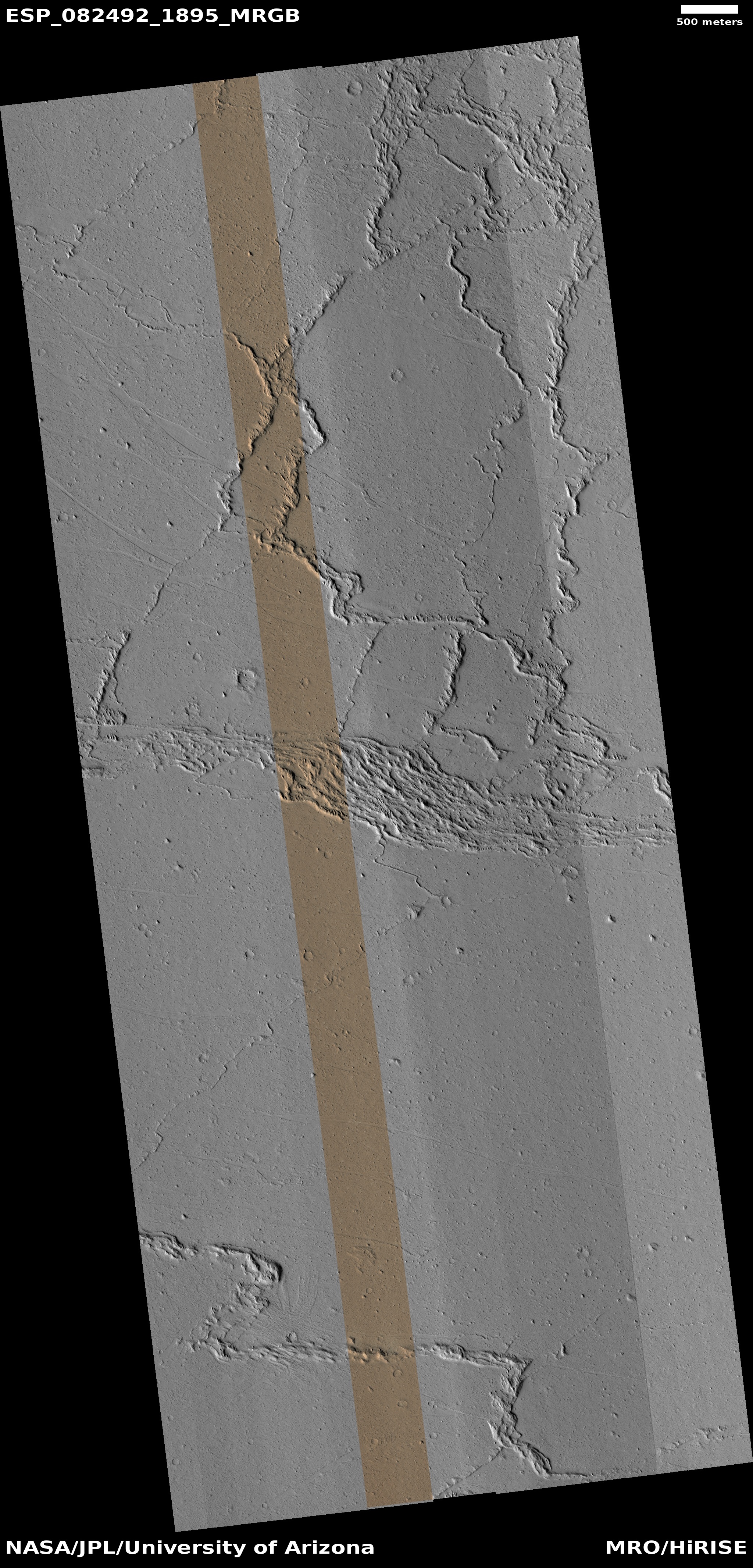
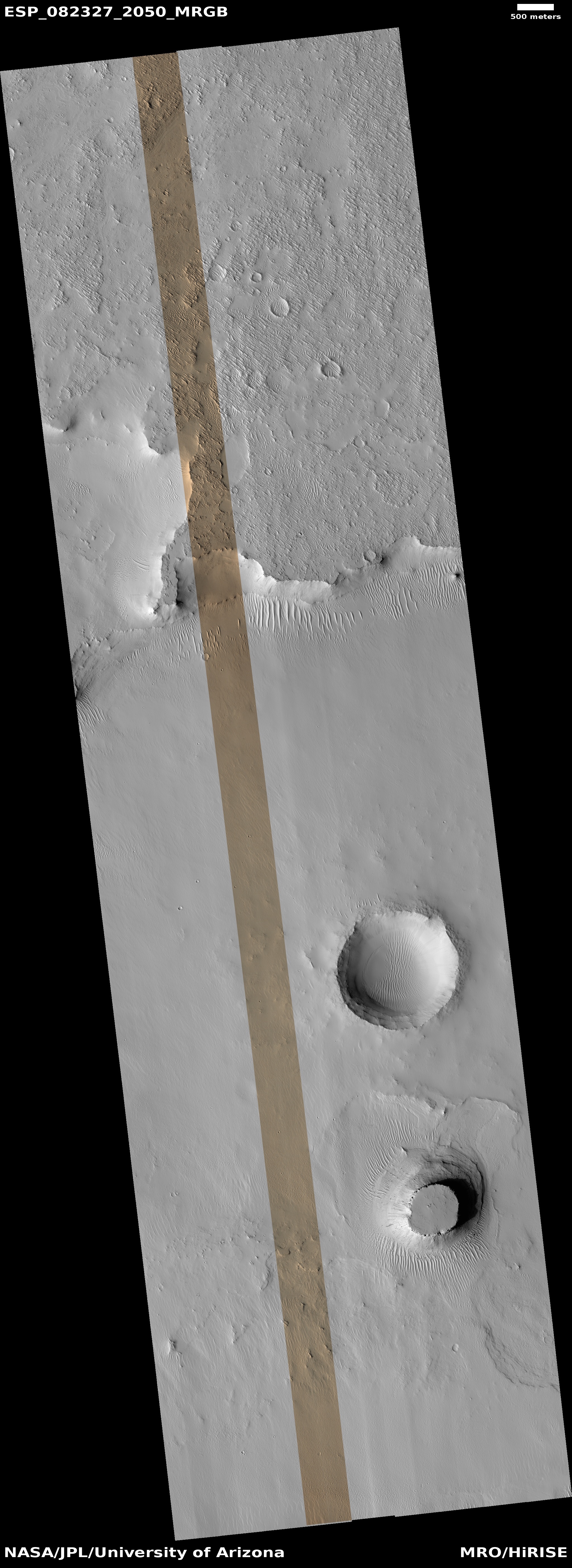
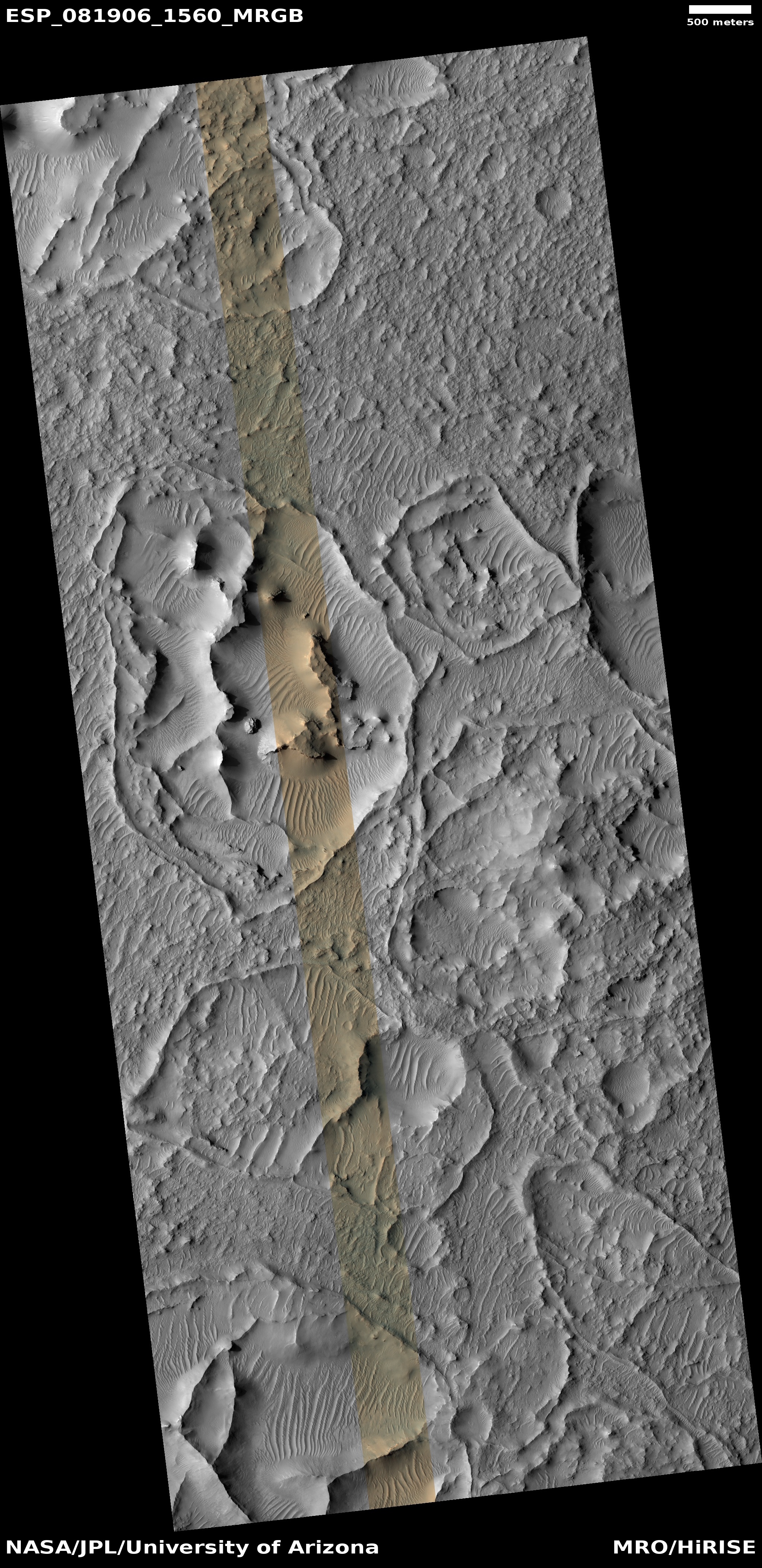
Cool image time! The picture to the right, rotated, cropped, reduced, and sharpened to post here, was taken on February 10, 2024 by the high resolution camera on Mars Reconnaissance Orbiter (MRO). It shows what the scientists label boringly “Lava Interactions with Landscape.”
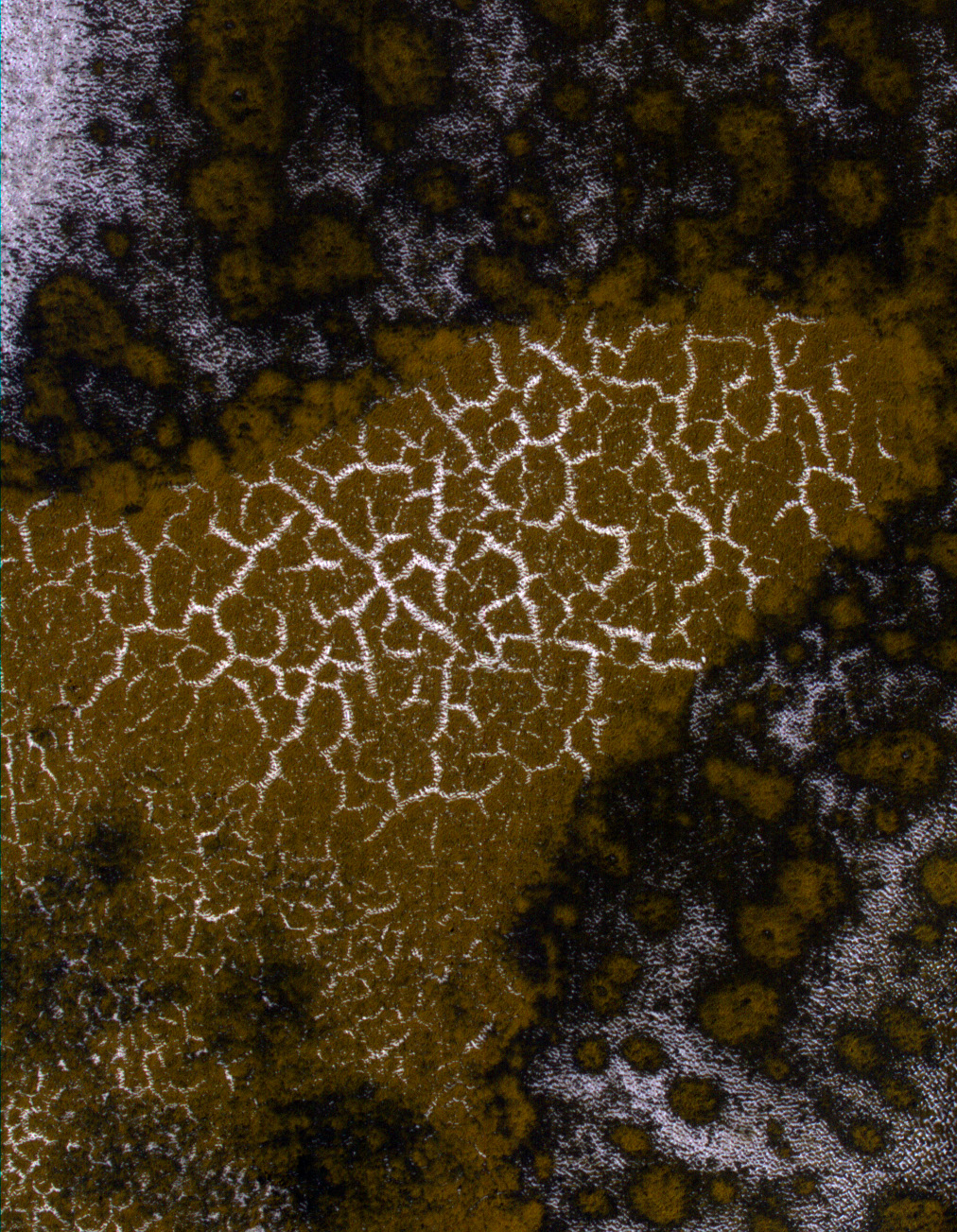
What is the lava, and what is the landscape? Here’s is my initial guess, based simply on looking at this image alone. The mound in the middle is the landscape, the rounded top of a very ancient mountain or hill. The flat plain that surrounds it is flood lava, that in the far past poured in and mostly buried the mountain.
Everything here signals a very old terrain. To get this mountain worn so smooth from the thin Martian atmosphere has to have taken more than a billion years. And that flood lava has to also be as old, because of the number of craters on its surface. I don’t know the impact rate, but I know it takes time to accumulate this number of impacts.
The sense of age is further underlined by the moat that surrounds the hill. When that lava poured in, it would have flooded right up to the mountain slope. Over time the weakest section of lava, most prone to erosion, would be that contact point. To wear it away as we now see it must have taken many eons.
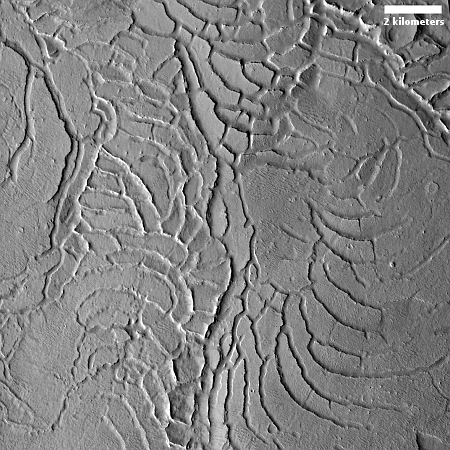
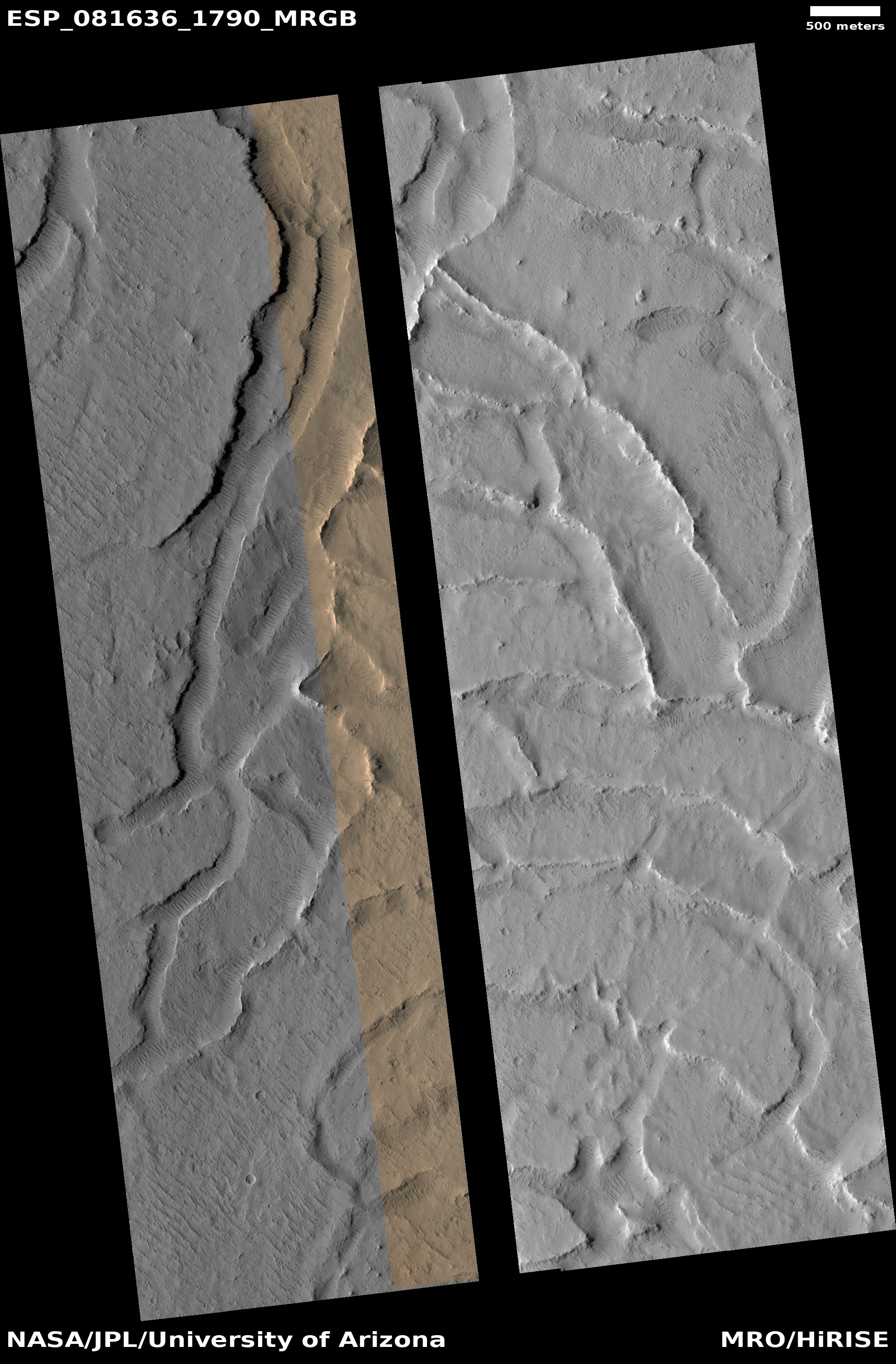
All these speculations are a very unreliable guesses. To get a better understanding of this terrain it is essential we look at more than this picture alone.
» Read more


