Bursting bubbles of water gas on Mars
Click for original image.
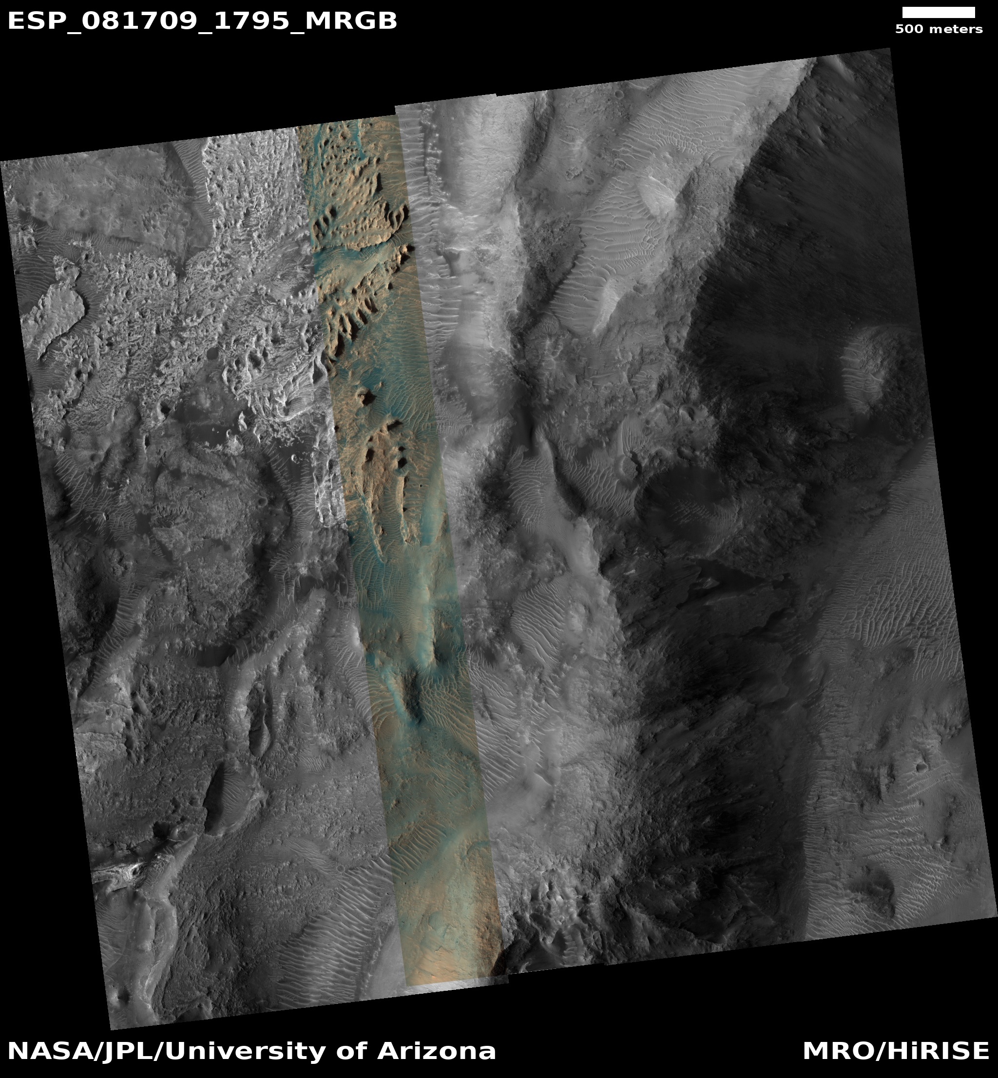
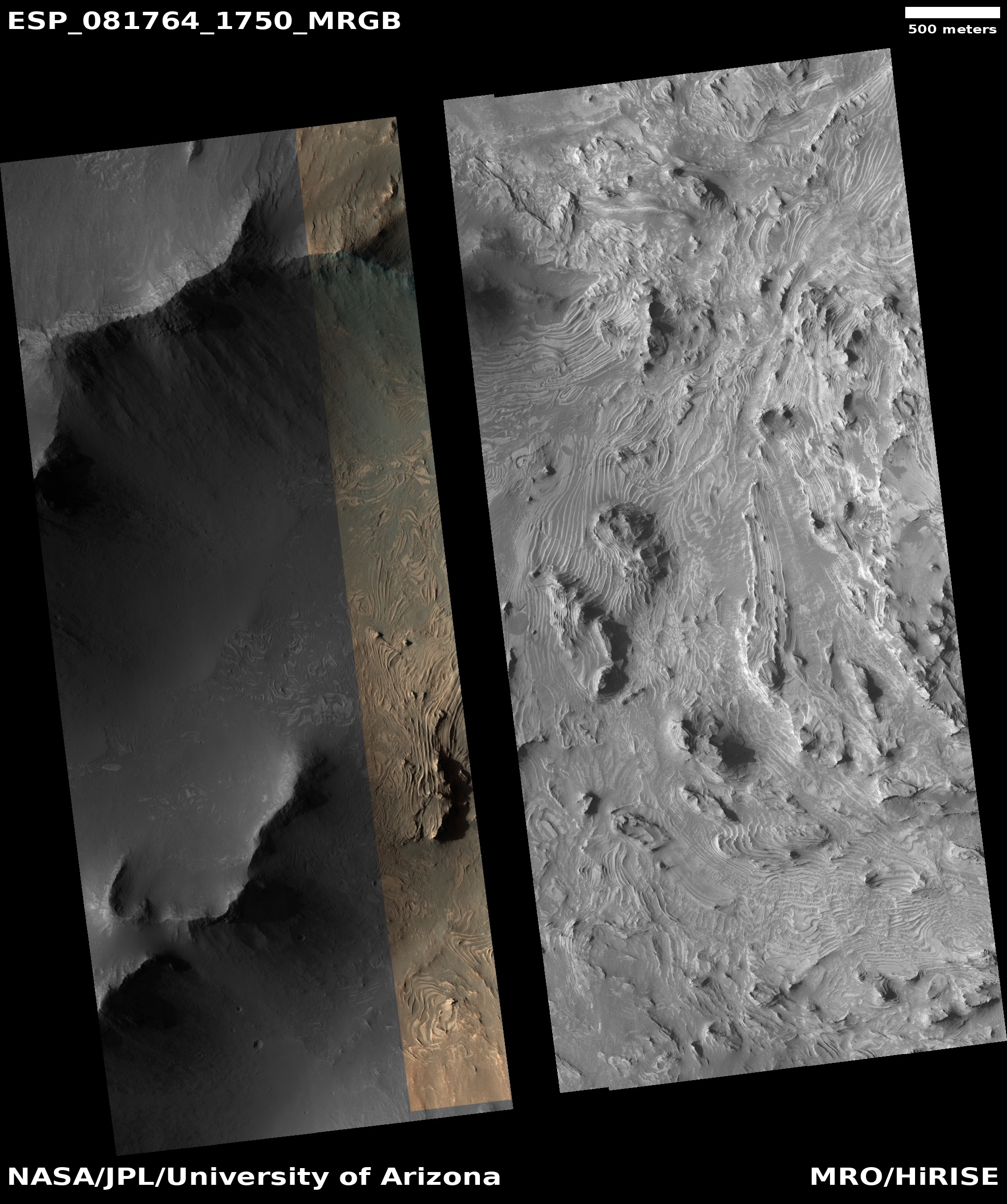
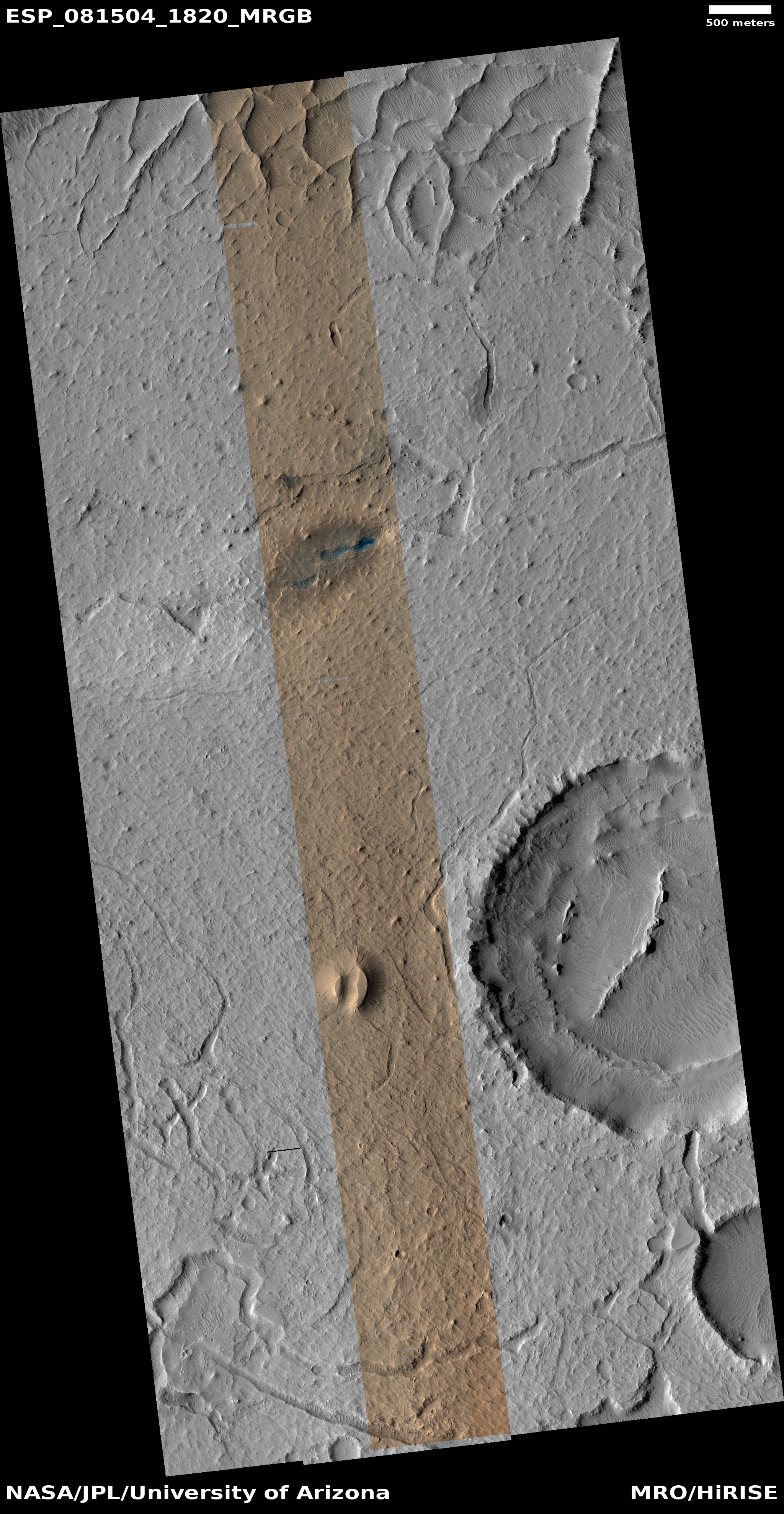
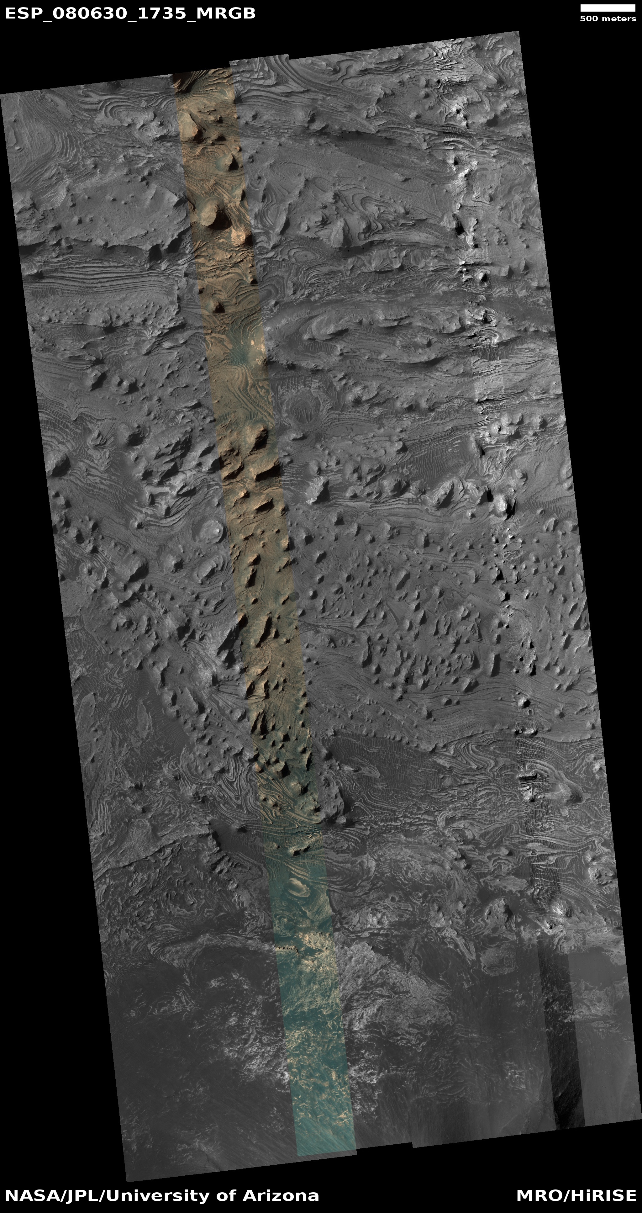
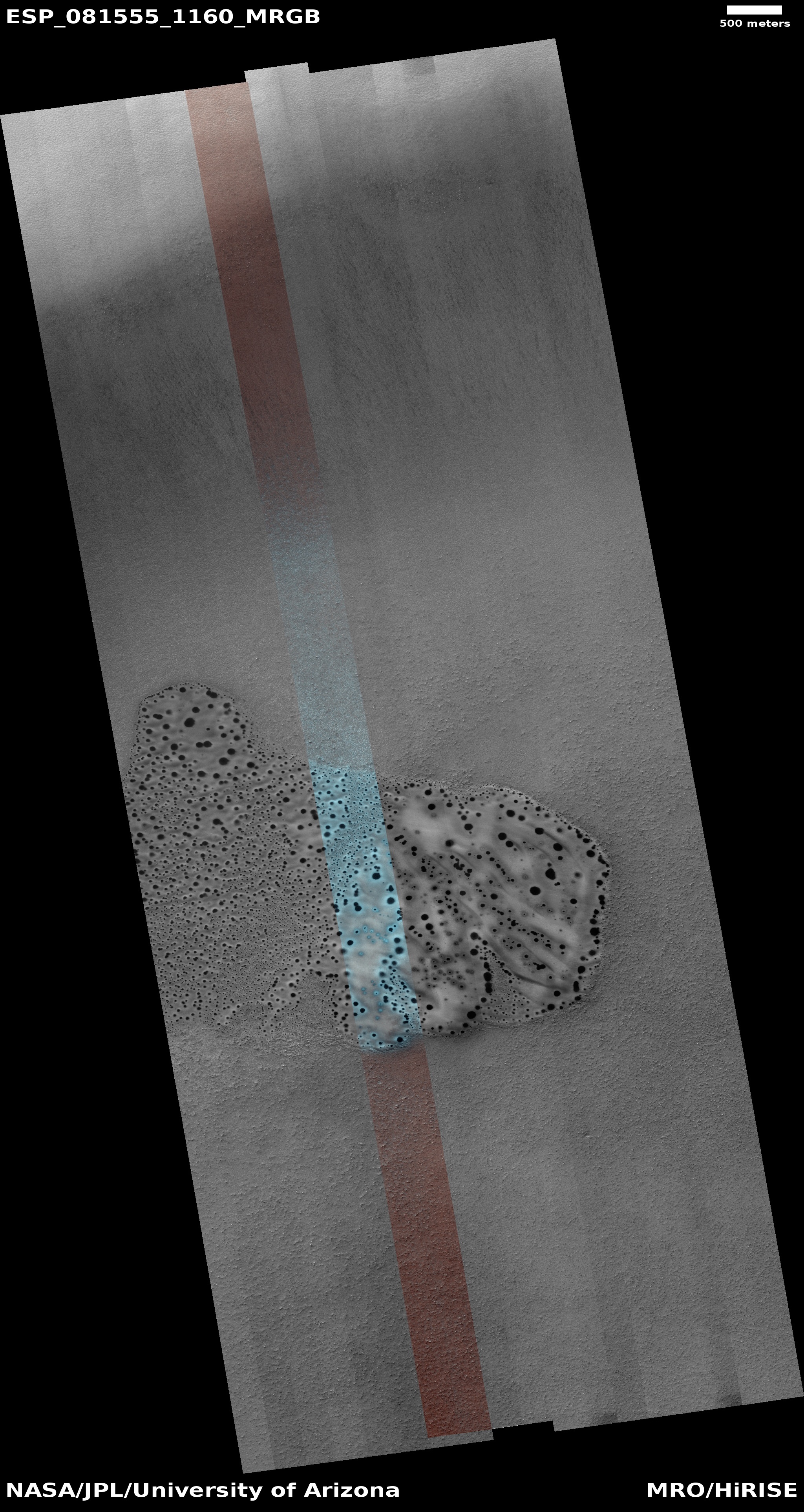
Cool image time! The picture to the right, cropped, reduced, and enhanced to post here, was taken on January 12, 2024 by the high resolution camera on Mars Reconnaissance Orbiter (MRO). Because of a technical issue that leaves a blank strip down the center of recent high-res MRO images, I have filled in that gap using a MRO context camera photo taken on January 12, 2015. The resolution is much less, but by doing so we can see the ground features as a unit.
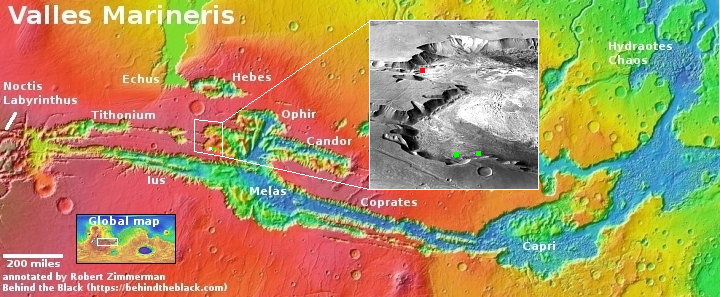
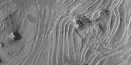
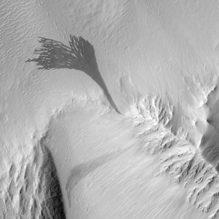
What are we looking at? According to the scientists, this picture shows “fresh-looking ruptures,” referring to the broken line of sharp tears inside that meandering canyon that almost resemble a fresh wound in flesh. As this location is at 28 degrees south latitude, it lies on the edge of dry equatorial regions, where orbital images have sometimes found hints of a few remaining buried glaciers that are much more common closer to the poles.
In this case it appears the warmer equatorial climate has acted to heat up the buried ice so that it sublimated into gas. At some point the gas pressure caused the surface to burst, much like bubbles bursting on the surface of a pot of simmering tomato sauce, leaving behind these scars.
» Read more