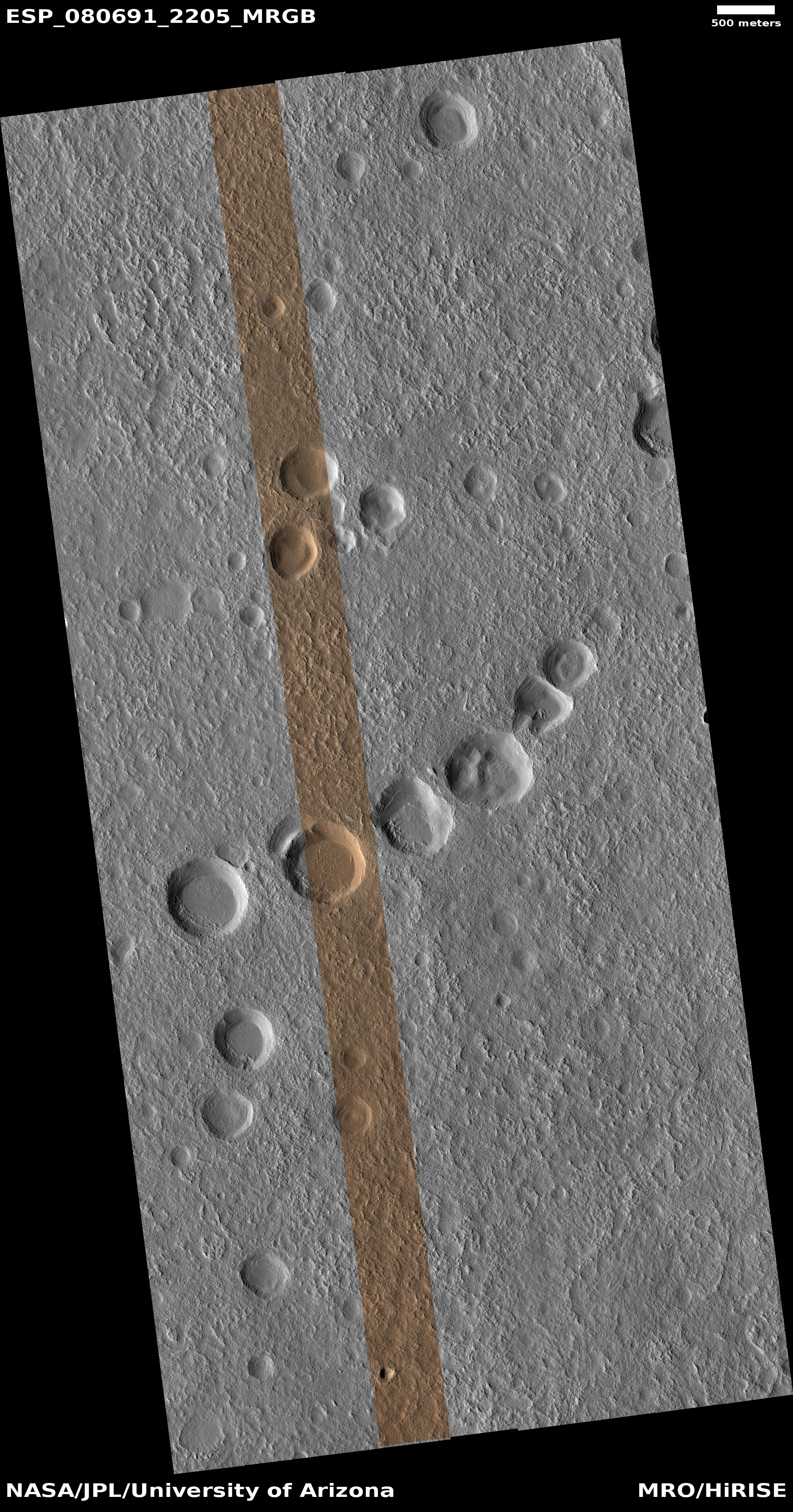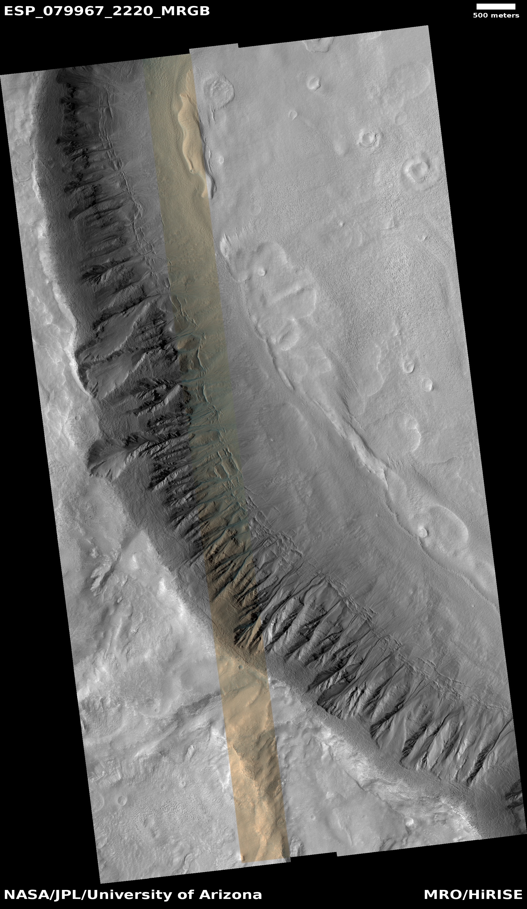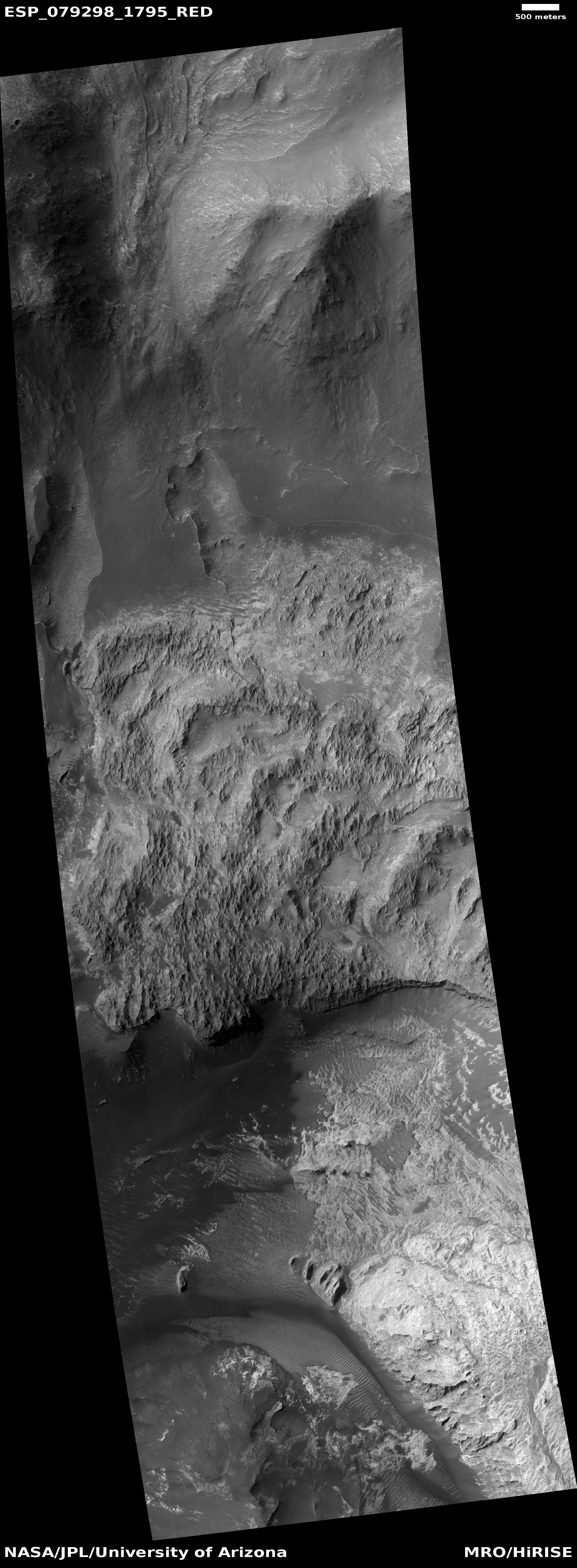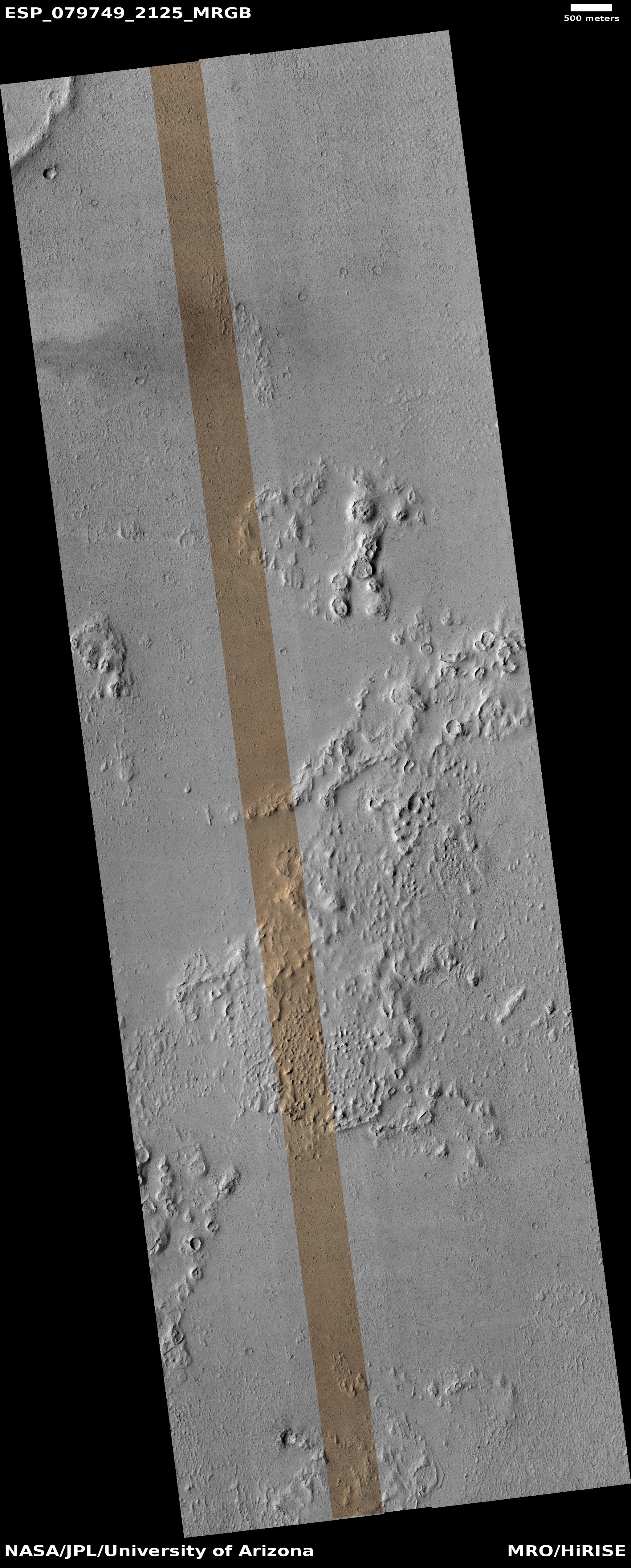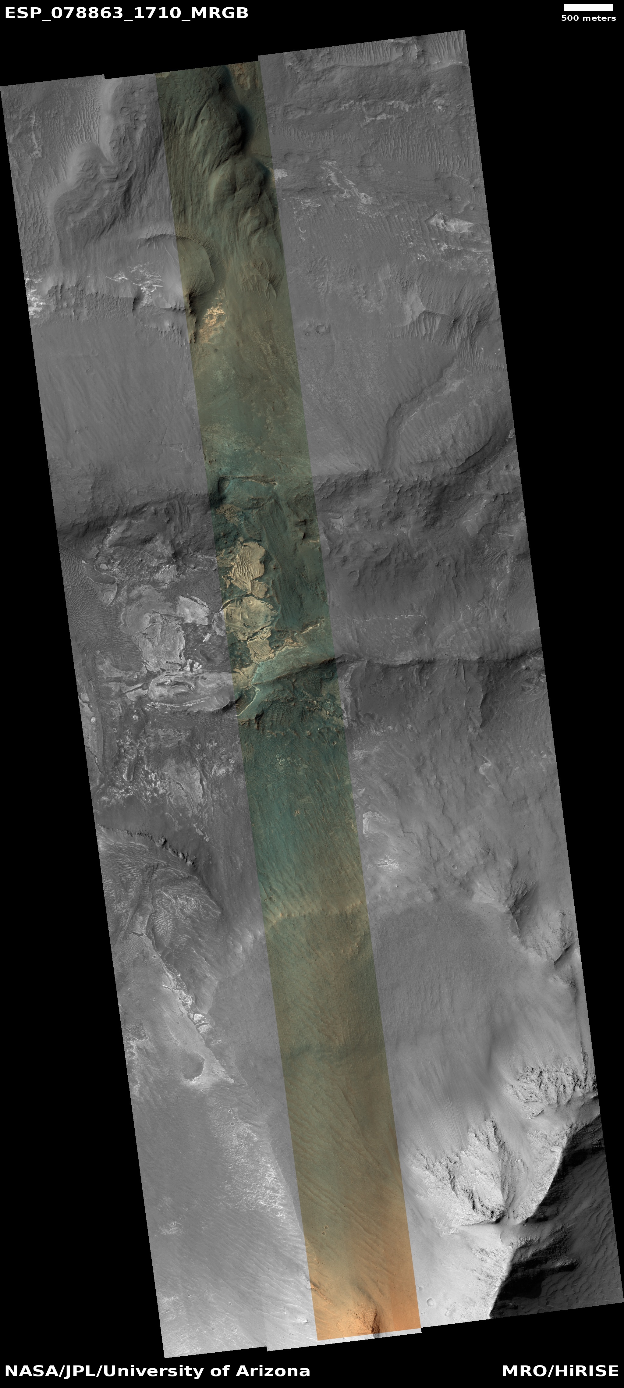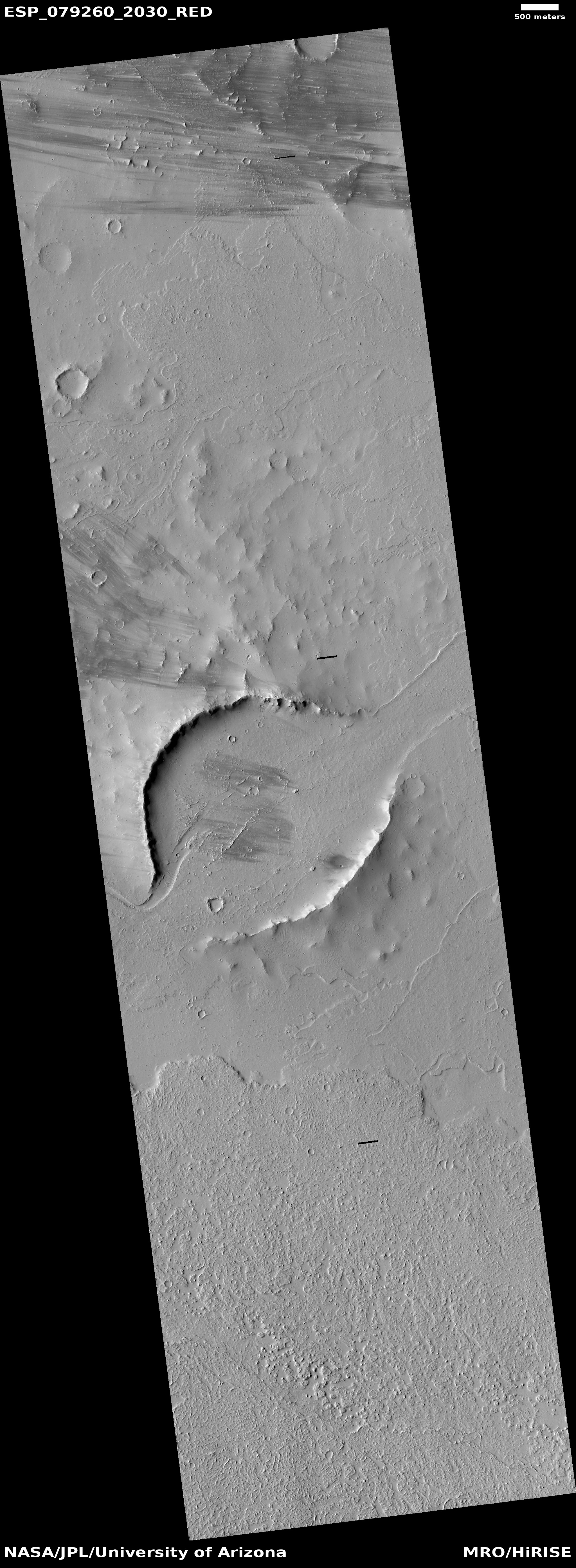
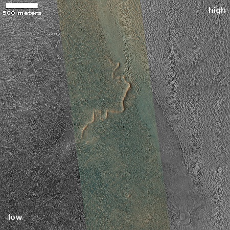
Cool image time! The picture to the right, cropped, reduced, and sharpened to post here, was taken on June 21, 2023 by the high resolution camera on Mars Reconnaissence Orbiter (MRO). Its focus is the meandering ridge in the center of the picture, which the scientists intentially describe vaguely as a “ridged flow-like feature”.
The elevation difference between the high and low points within the picture is about 500 feet, though most of that slope occurs in the lighter terrain on the right. The darker area where the ridge is located has no clear elevation trend, though there are hints of depressions and rises within it.
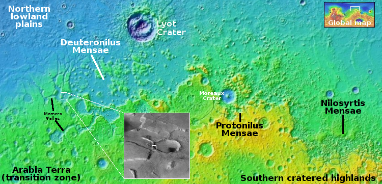
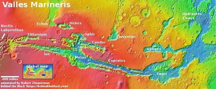
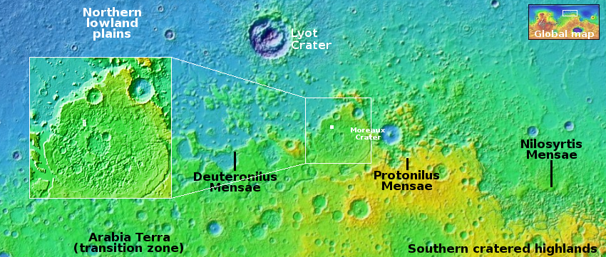
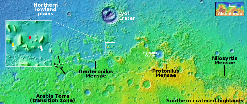
The yellow dot on the overview map above marks this location, deep within the chaos terrain dubbed Deuteronilus Mensae, on the western end of the 2,000 long northern mid-latitude strip I dub glacier country, because practially every image from there shows glacial features.
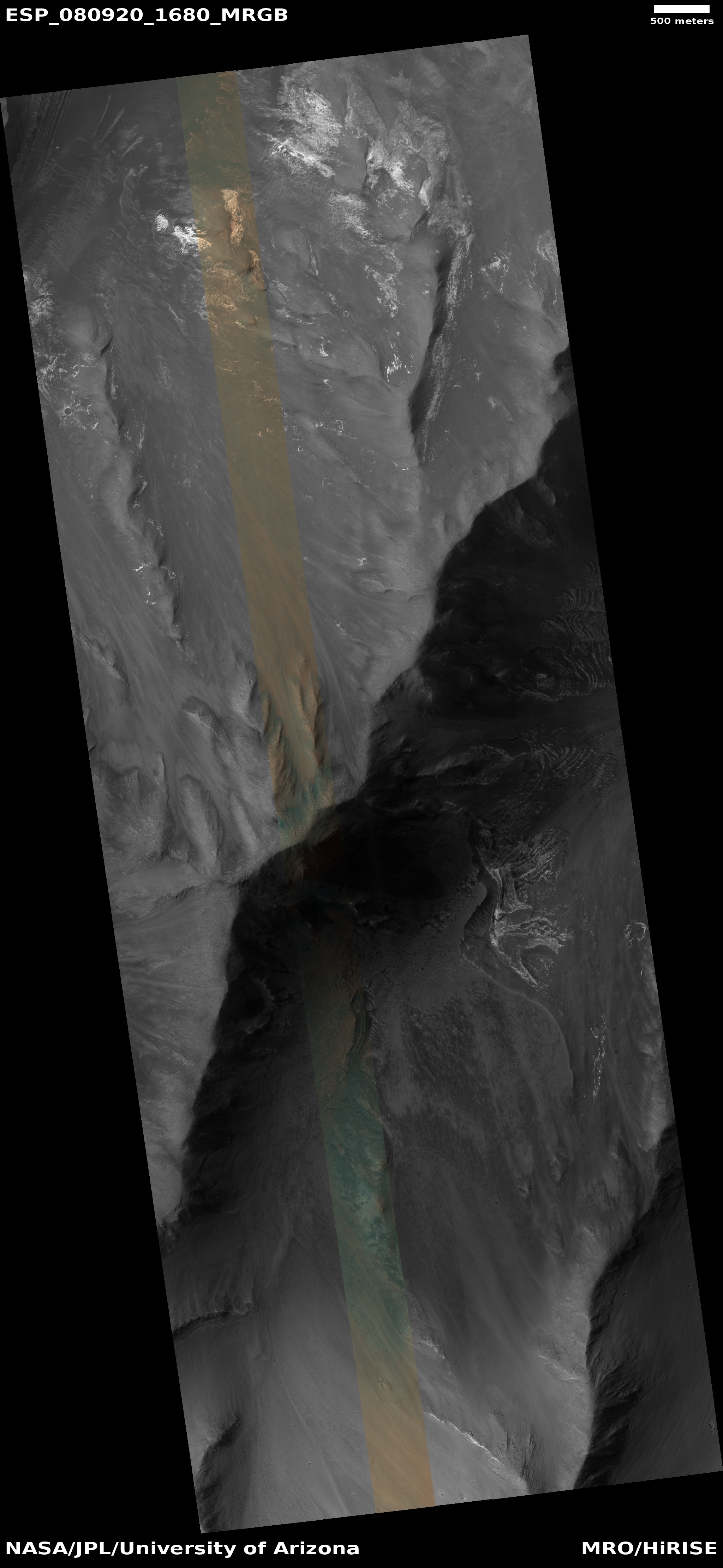
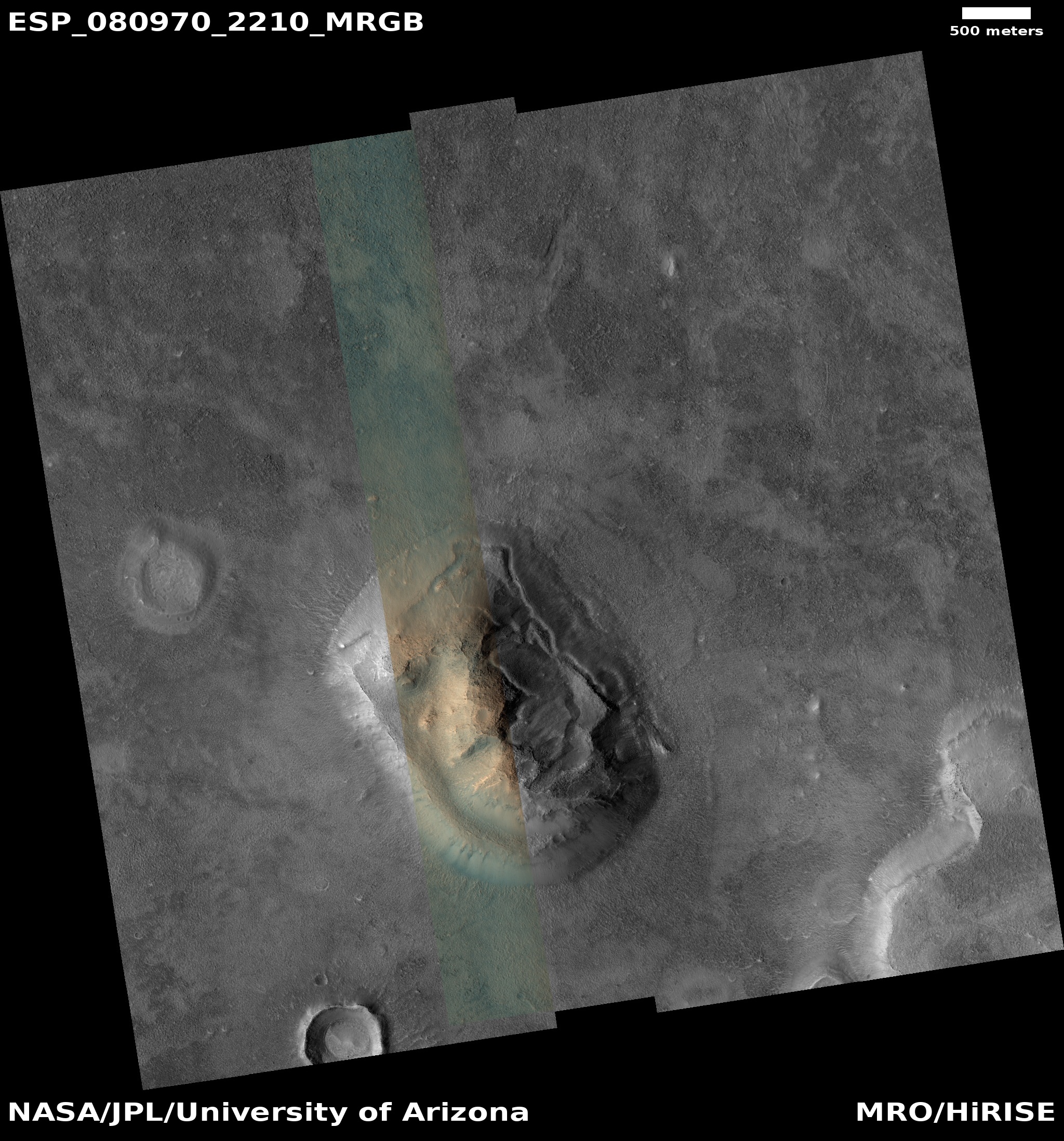
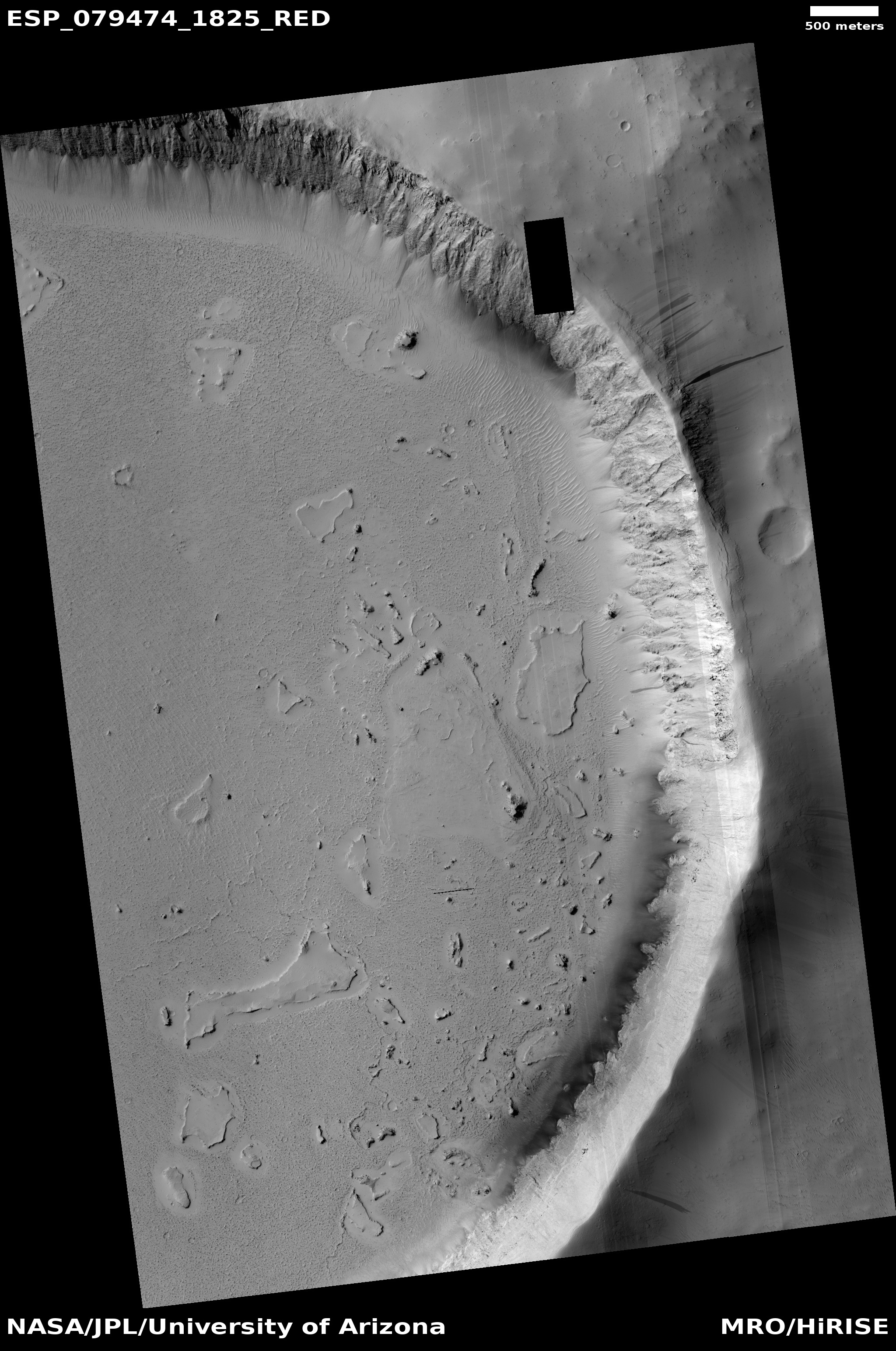
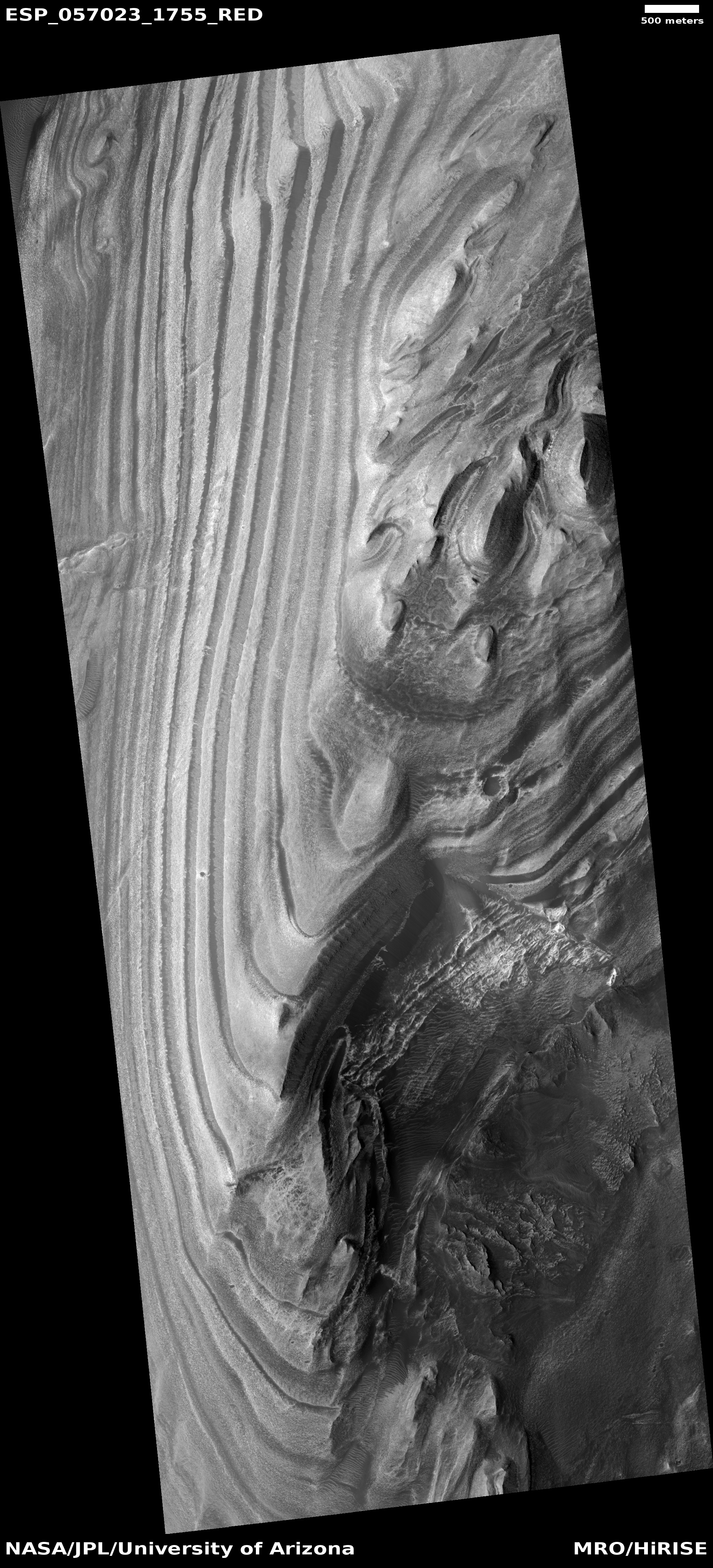
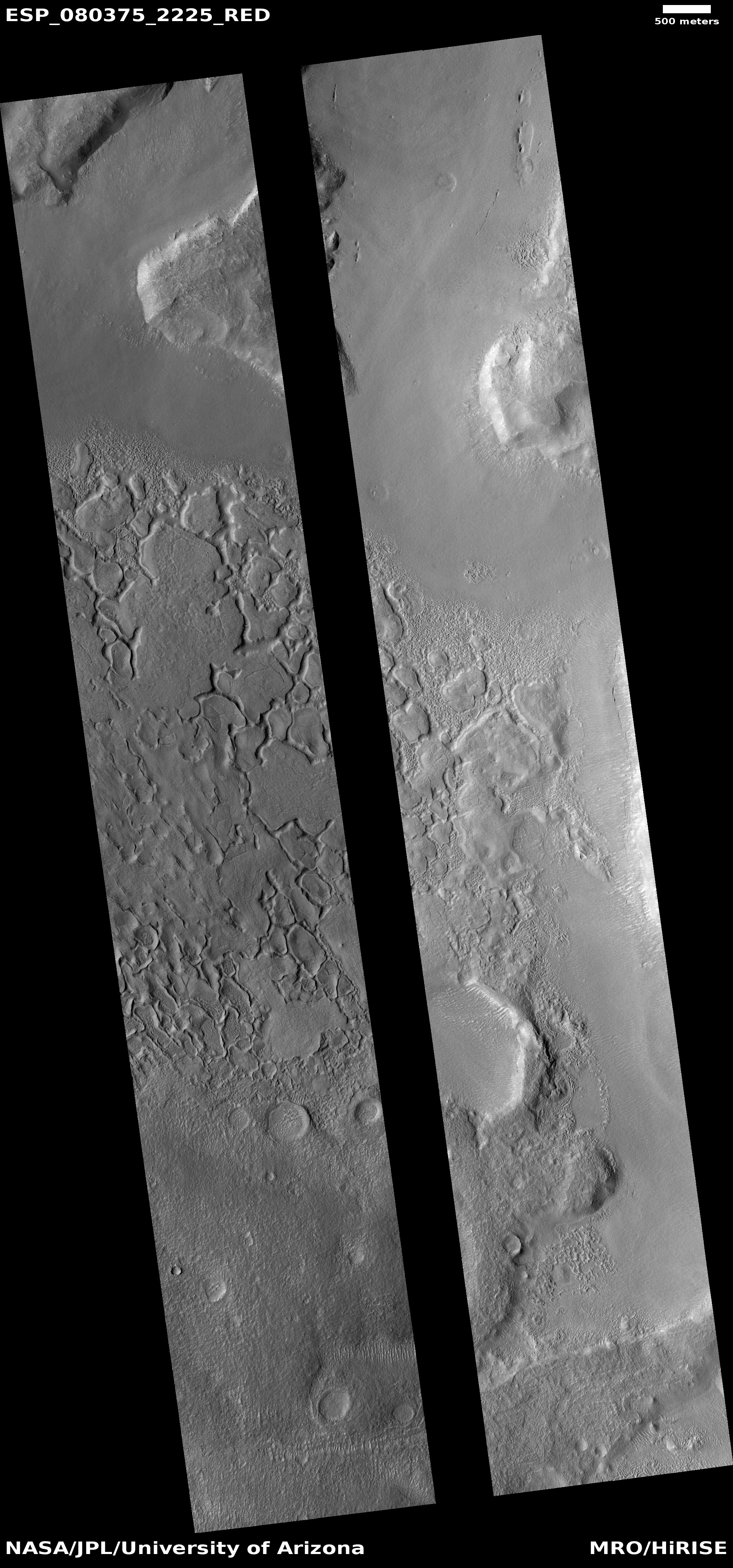
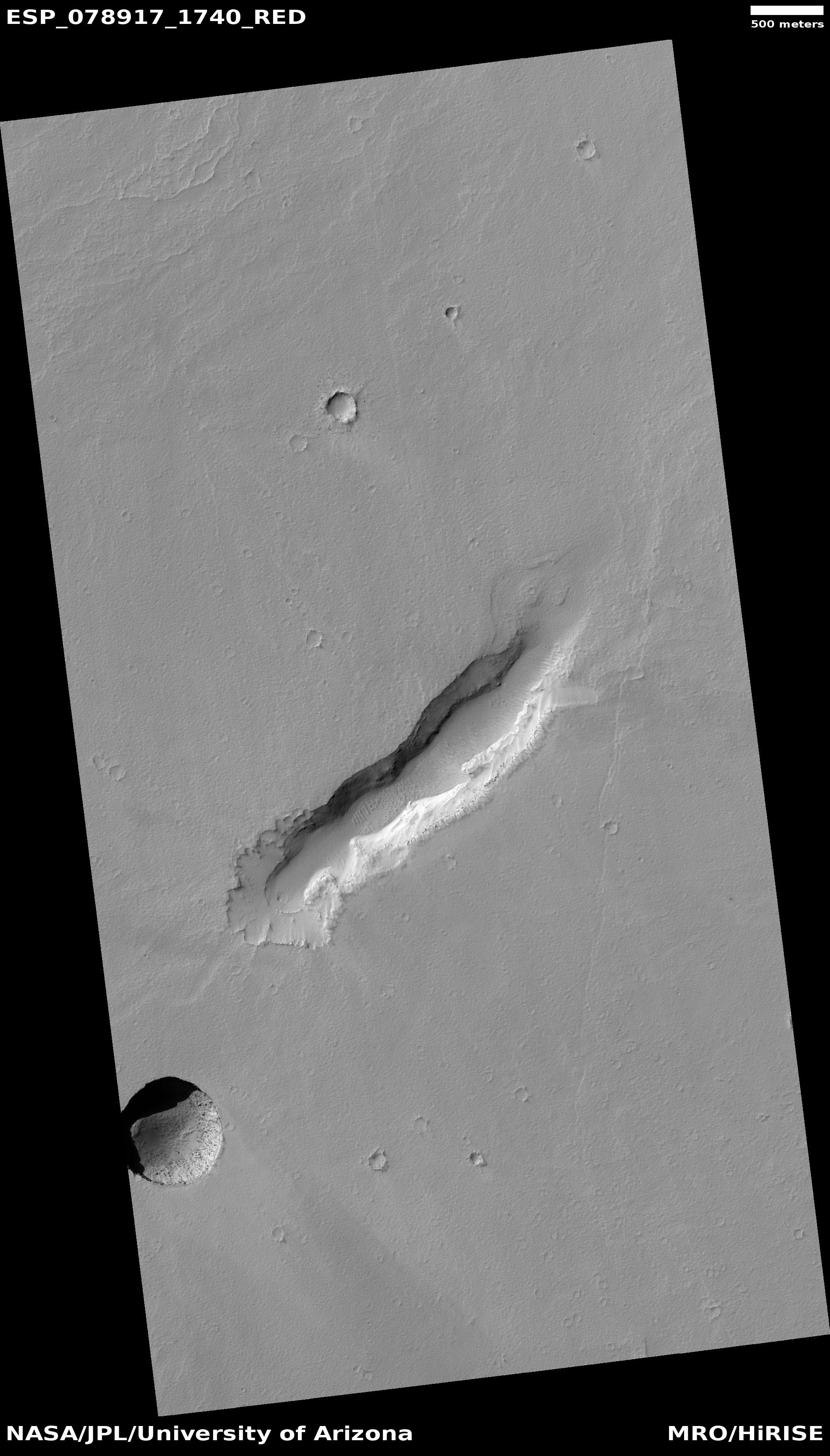
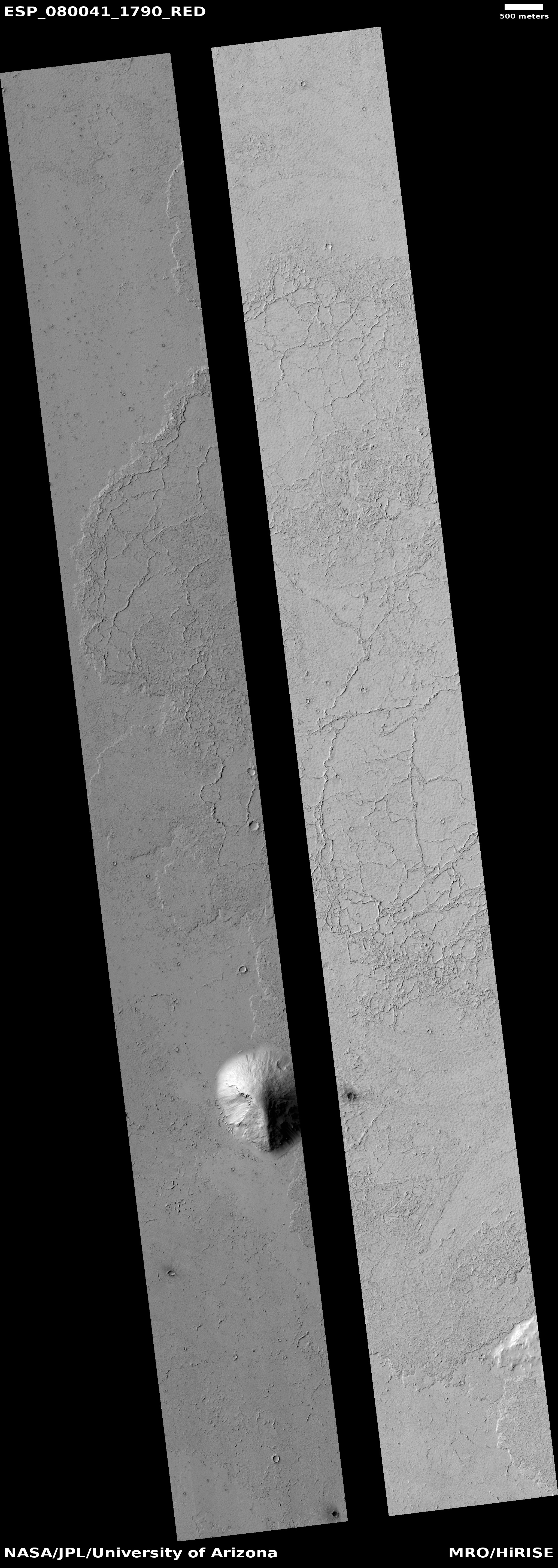
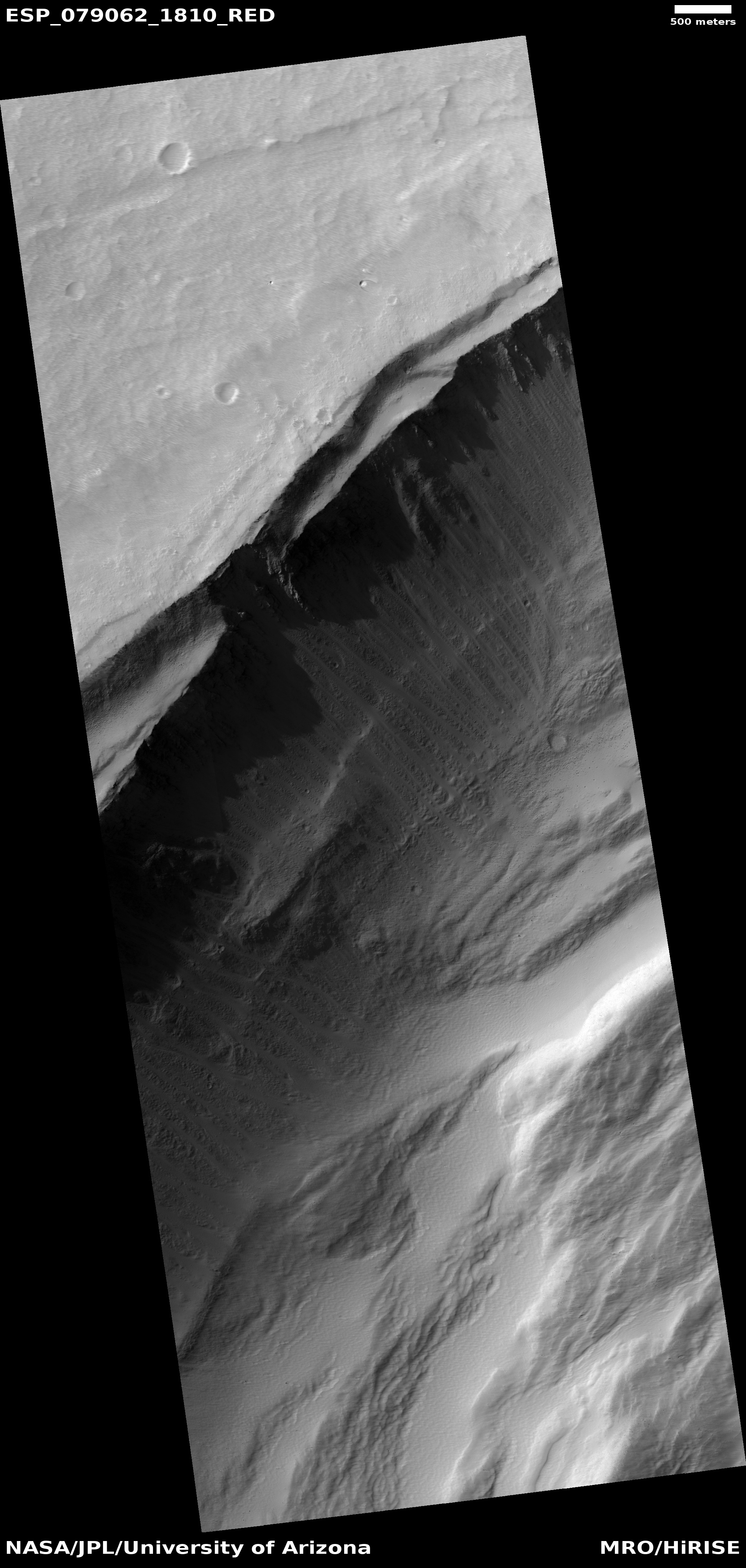
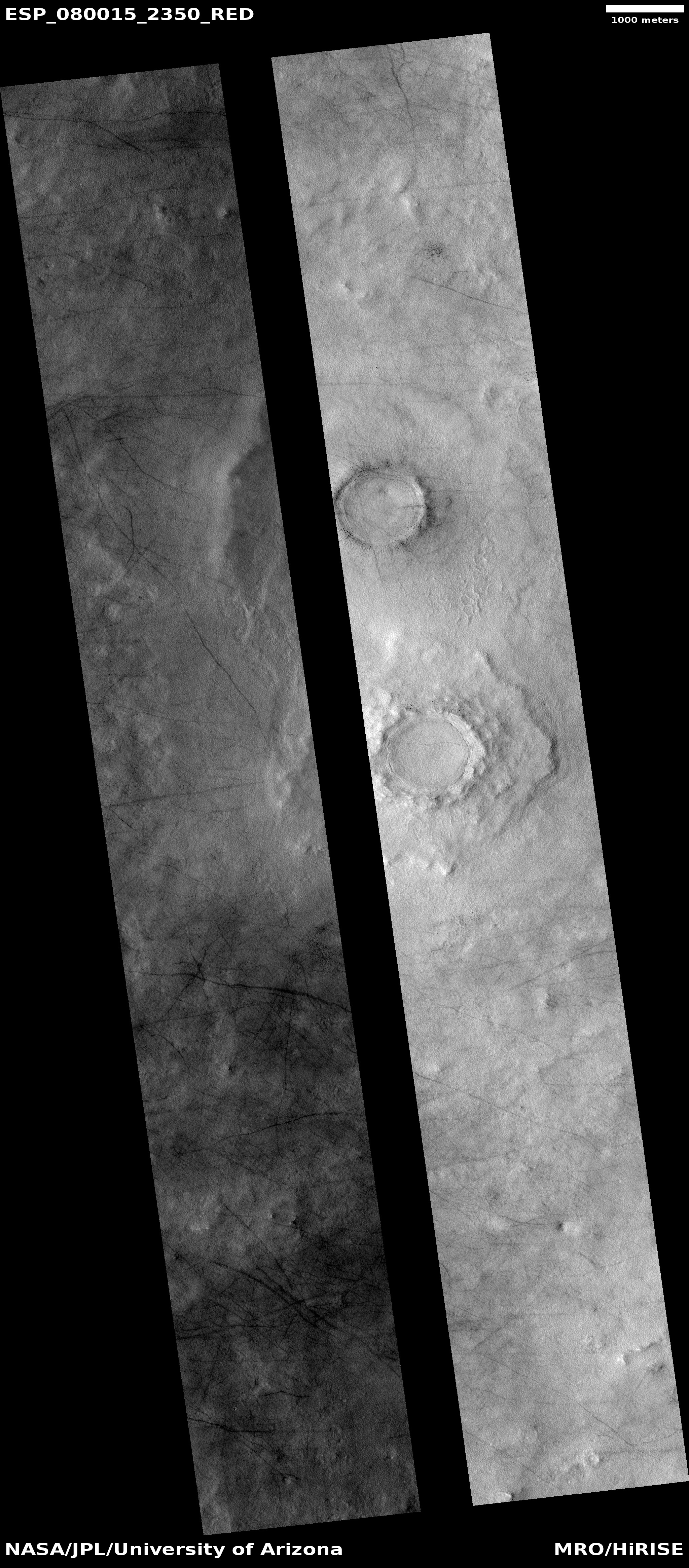
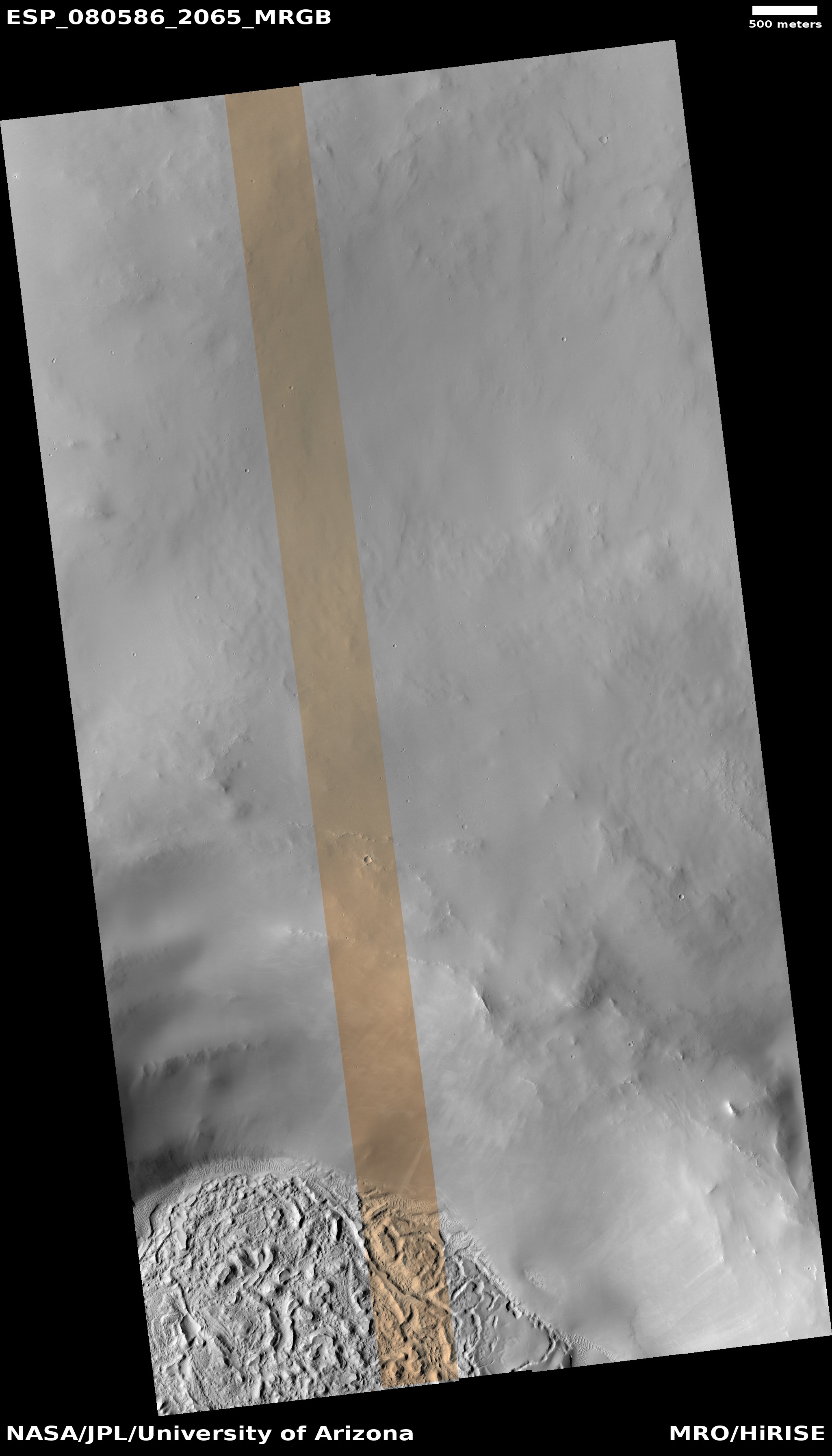
To underline this fact, the red and white dots mark previous cool images from 2020 and 2021, with the first showing an eroded glacier and the second glacial ice sheets.
The mesa to the east of this picture rises more than 6,000 feet to its peak, as indicated by the black dot. This is also the highest point for this entire grouping of mesas. All are surrounded by a single large apron of material, likely a mixture of alluvial fill and ice.
What however caused the narrow ridge in the picture above? Is it ice or bedrock? If ice why is it so different than the glacial material that seems to surround it? If bedrock, it suggests it is instead an ancient inverted channel created when that ridge was a canyon through which ice or water flowed, compacting the canyon floor. When the terrain around it eroded away it was more resistent and became a ridge instead.
I have no answer. The colors suggest the ridge is rock, not ice, but that is not conclusive.