
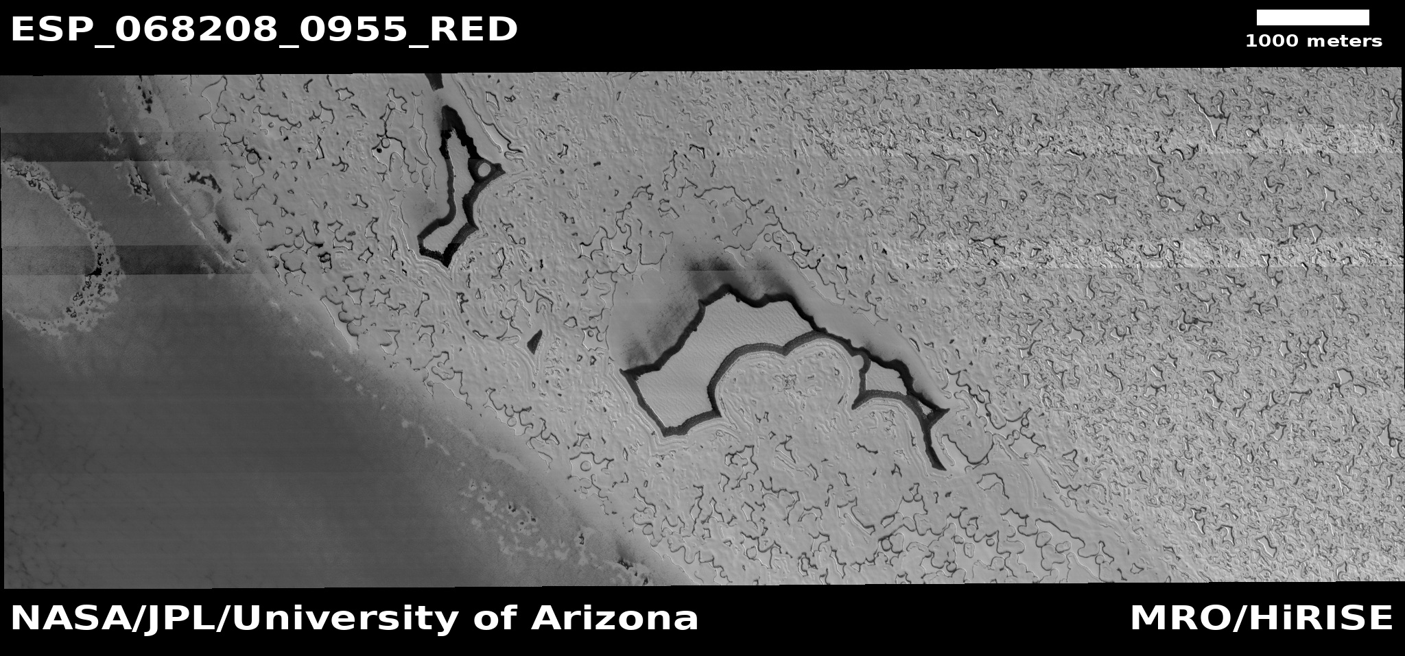
Zhurong finally located on Mars
Click for full image.
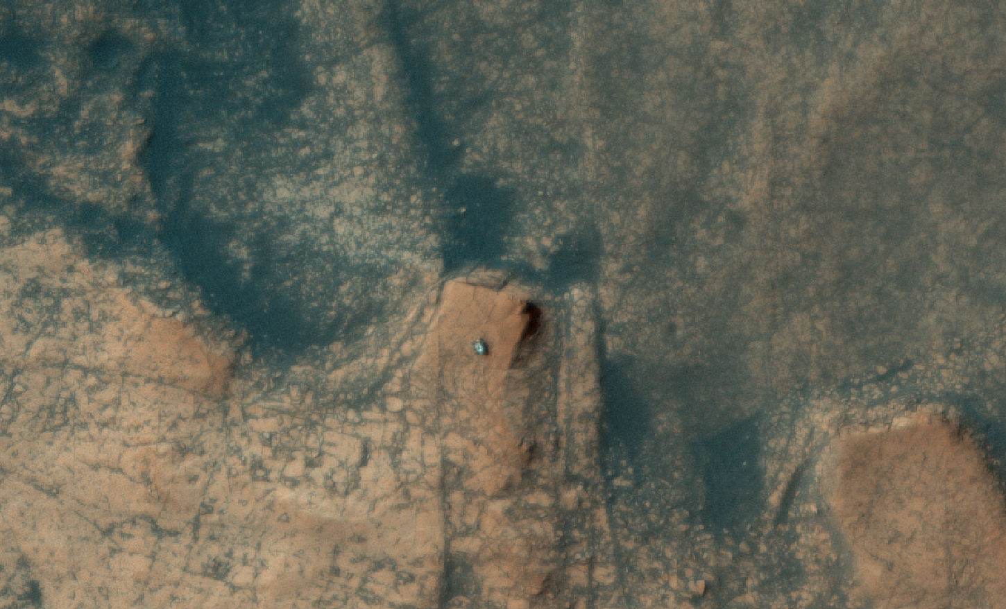
Though the Chinese had earlier this week released one image taken by their Mars orbiter, Tianwen-1, showing their rover Zhurong on the surface of Mars, they did not provide any specific location information.
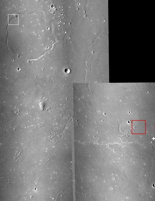
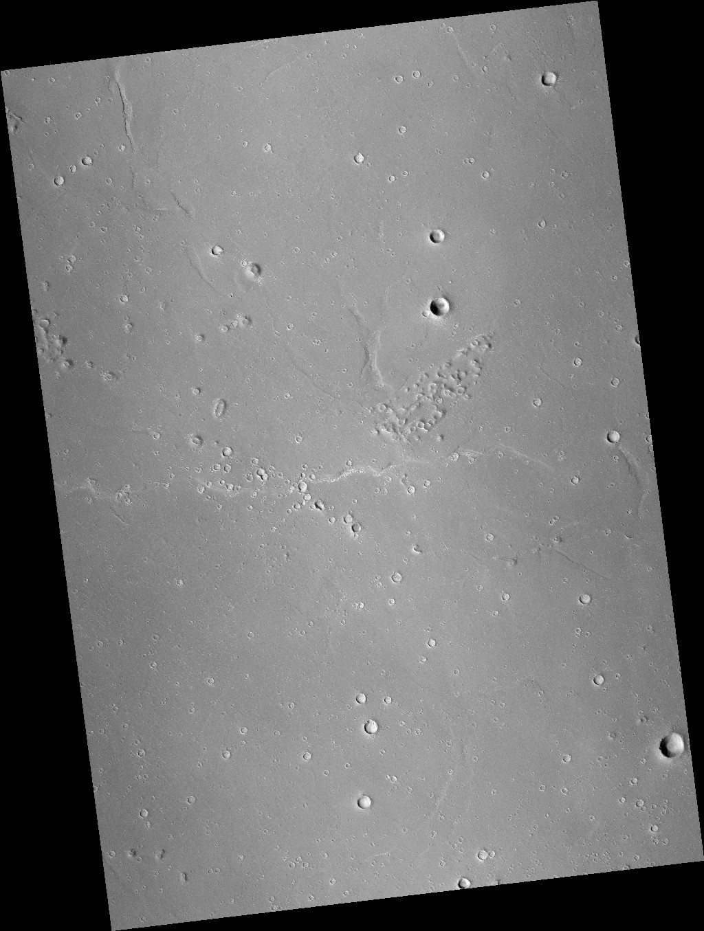
This lack has now been filled by a new high resolution image of Zhurong taken by Mars Reconnaissance Orbiter (MRO) on June 6, 2021. This image, cropped to match the Tianwen-1 image and annotated by me to post here, shows the parachute, entry capsule, heat shield, lander, and rover. I have added white dots to distinguish the rover from the lander, which indicate that since the Tianwen-1 orbital image the rover had moved south about 70 feet, suggesting it has been able to travel on the surface.
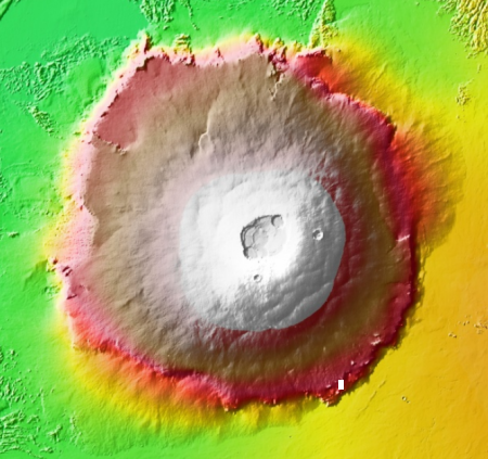
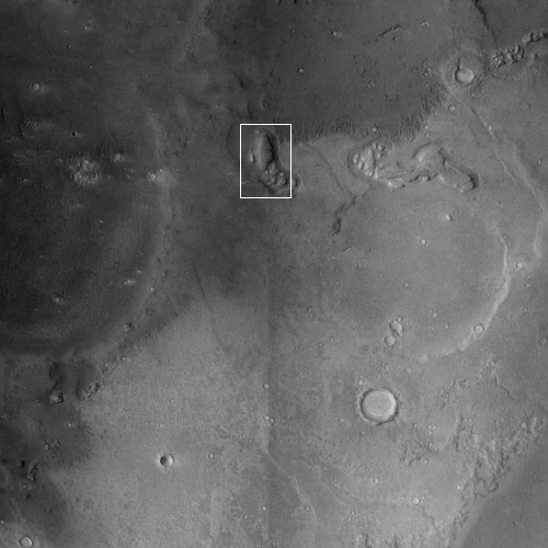
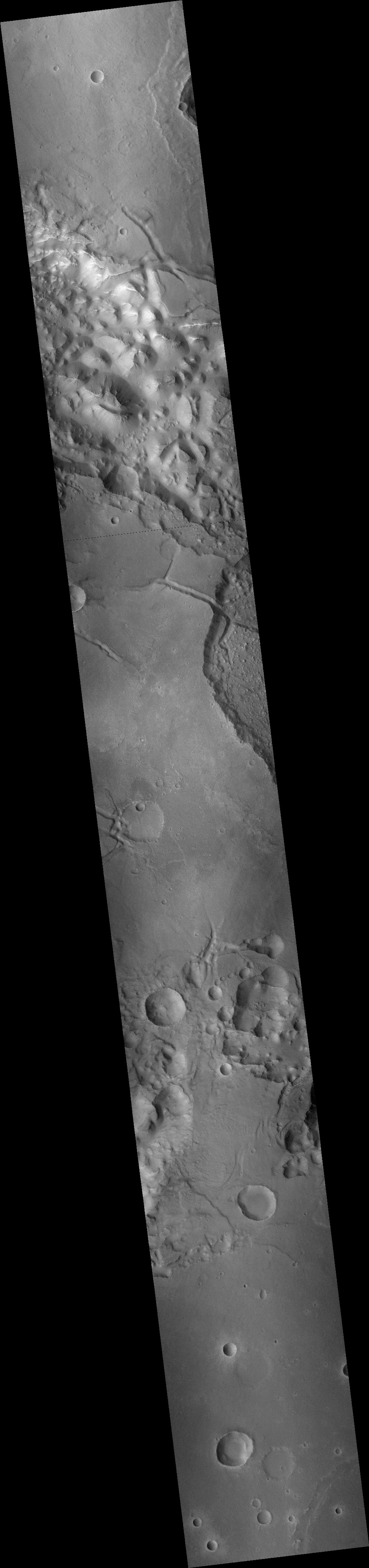
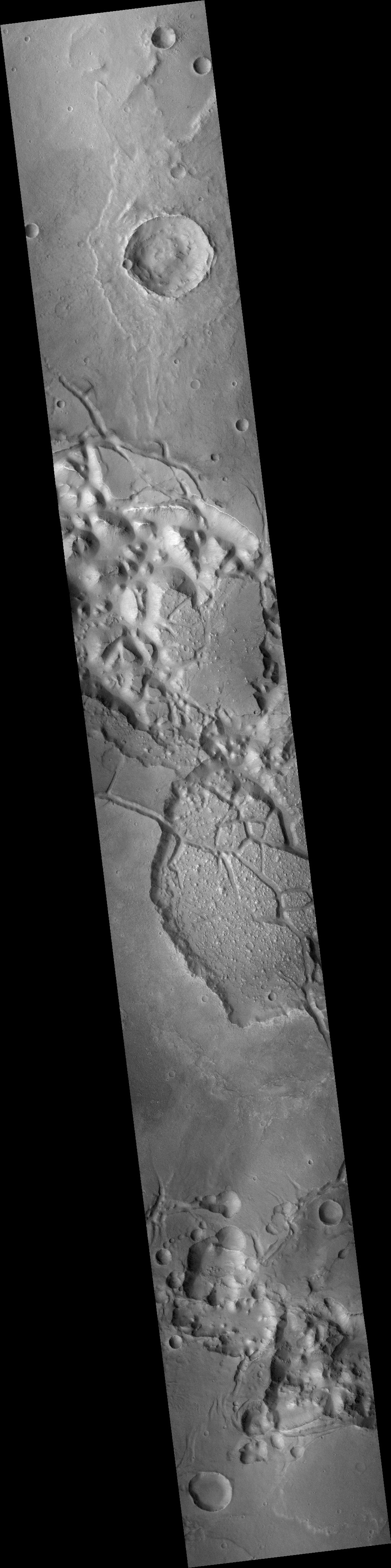
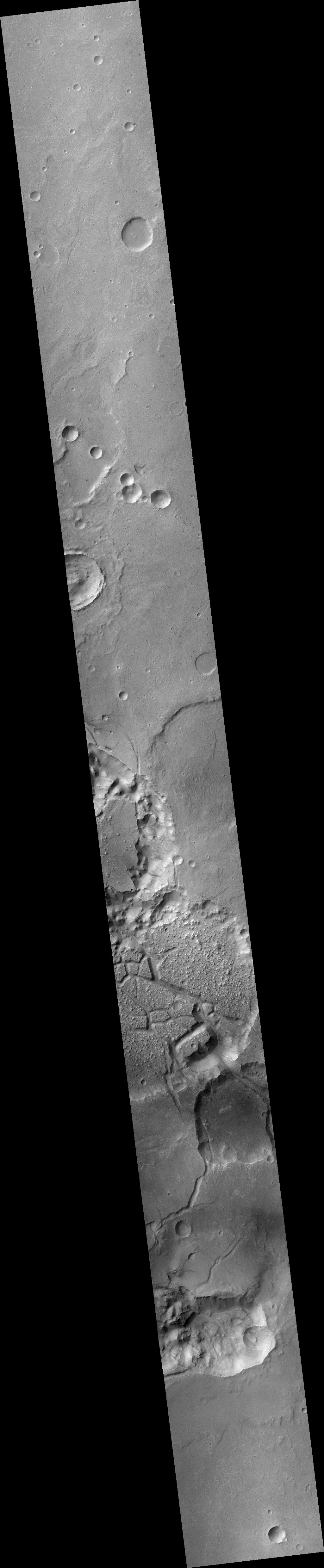
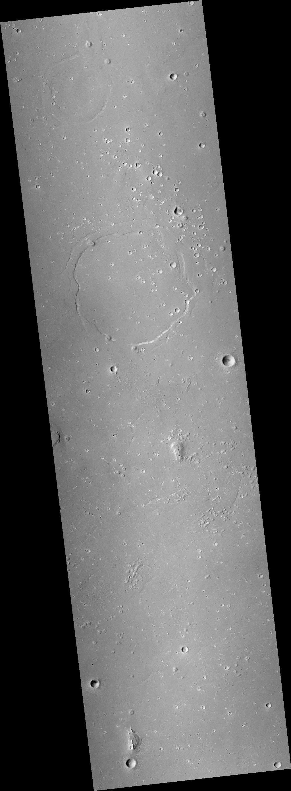
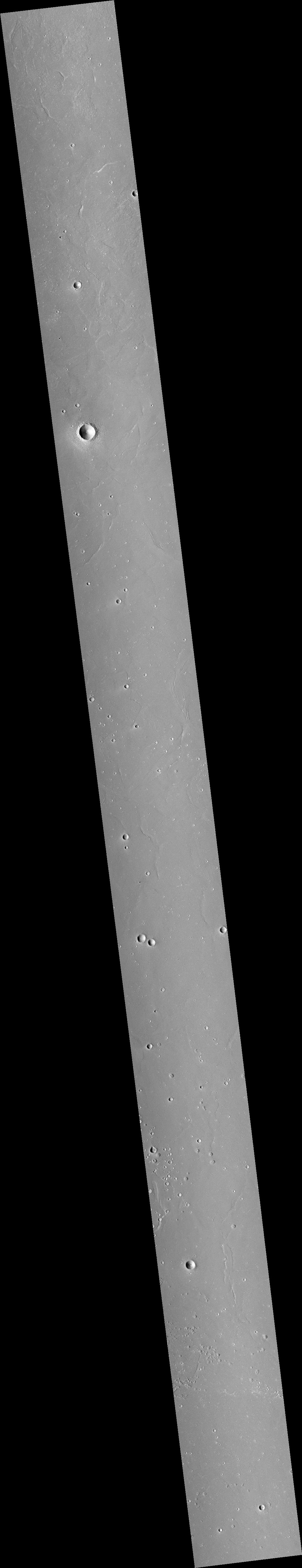
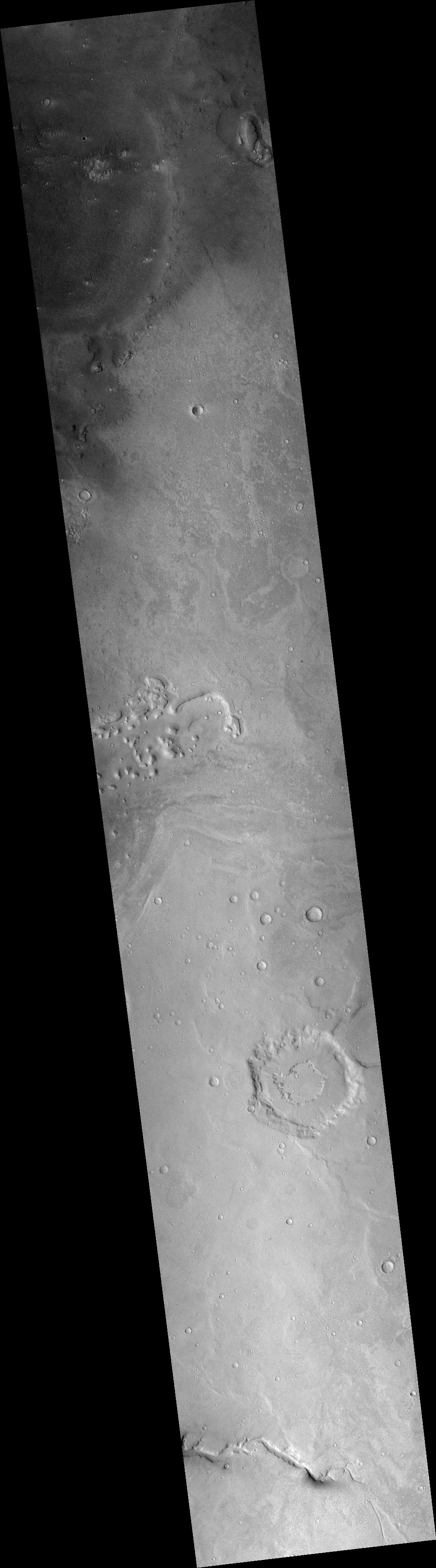
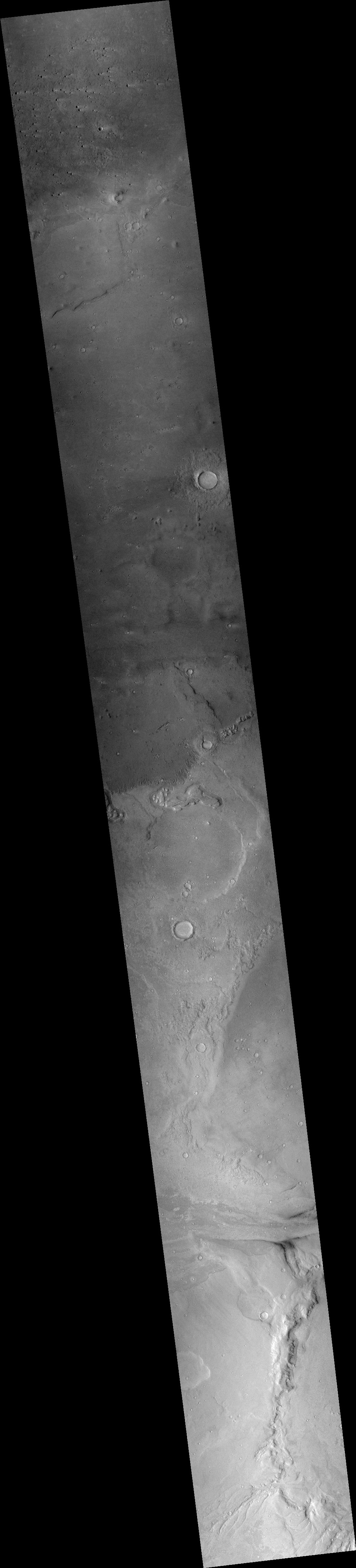
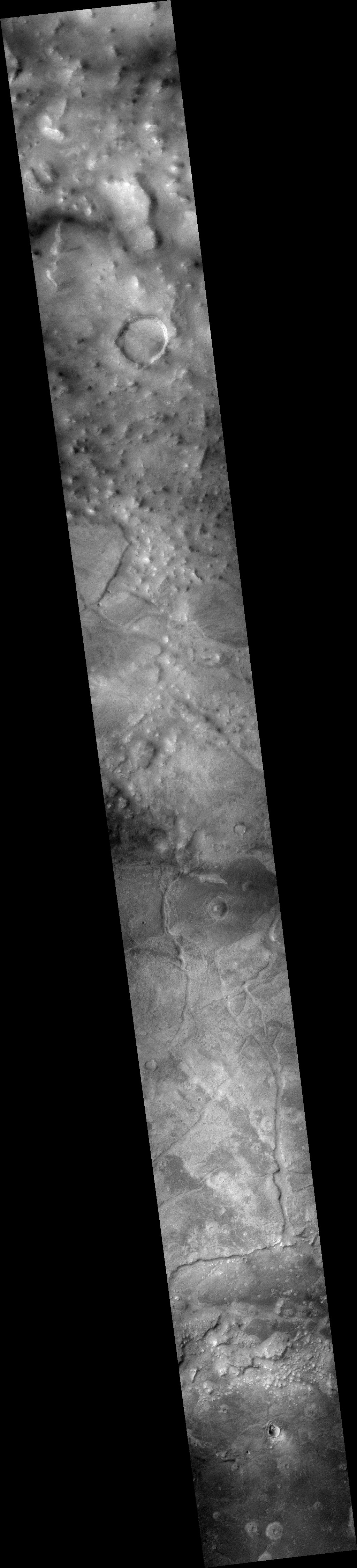
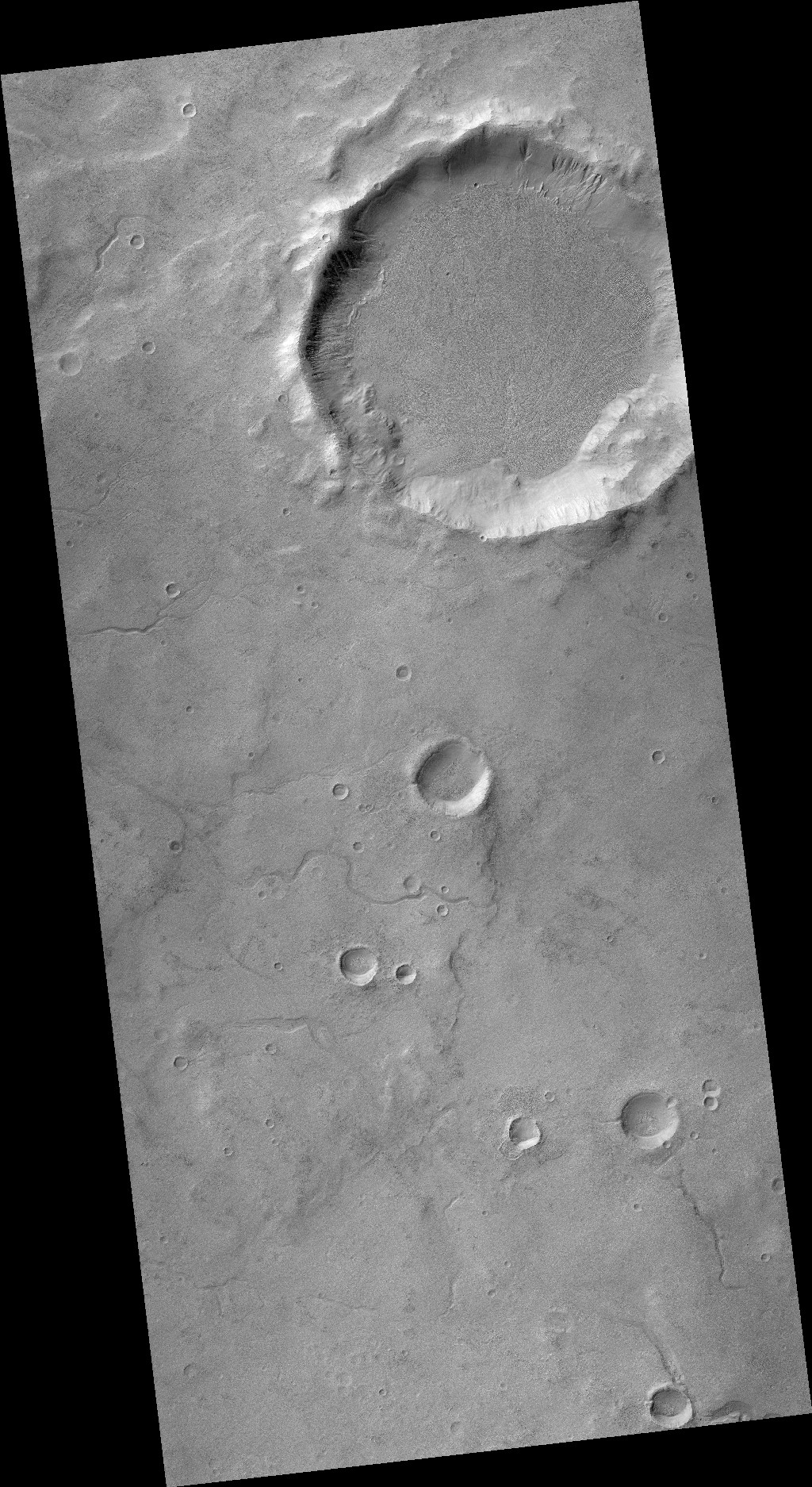
What this MRO image provides that the Chinese refused to reveal is the latitude and longitude of that landing site, which in turn tells us that the lander put down about 14 miles to the northwest of its targeted landing spot. The mosaic of MRO context camera images below show this landing spot in context with the surrounding terrain.
» Read more


