
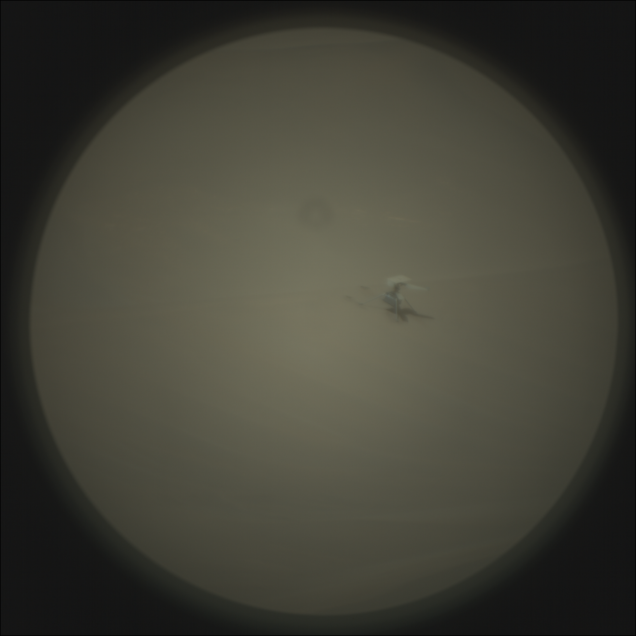
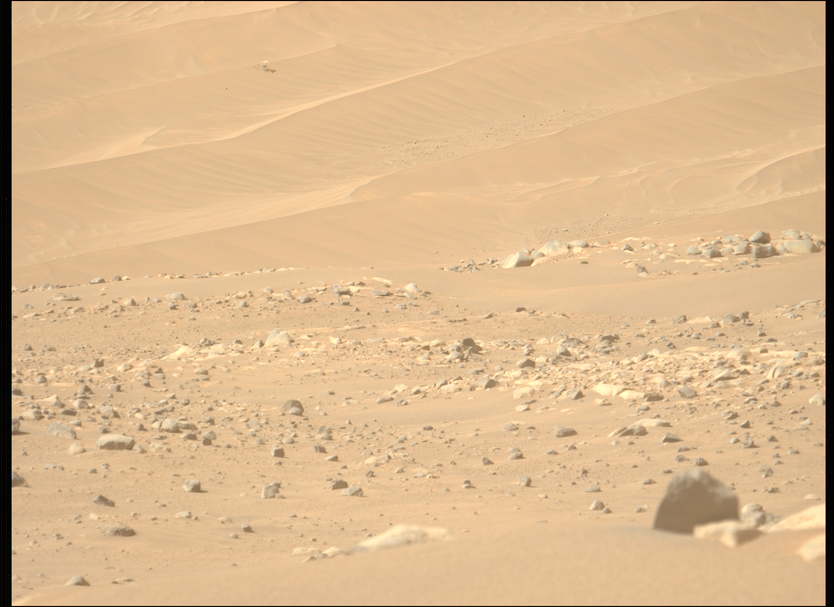
Ingenuity broke off one blade entirely
Click for original image.
Images using a camera on Perseverance originally designed to look closely at rocks nearby but was found capable of doing distant photography (by engineers running the rover Curiosity), Perseverance has obtained the first good close-up picture of Ingenuity since its last flight, and found that one half of one propeller blade apparently broke off during or at the end of its last flight.
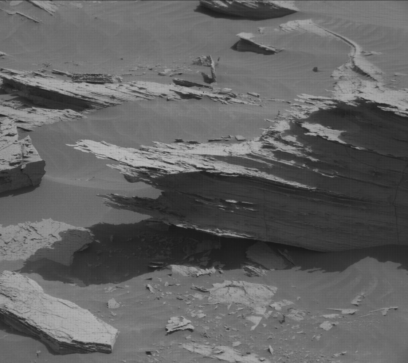
That image is to the right, cropped and sharpened to post here. It was taken on February 25, 2024 by Perseverance’s Supercam camera. A second Supercam image spotted the broken blade about fifty feet away, on the sand.
Why the blade broke off remains unknown. You can see from the tracks on the ground that Ingenuity jumped downhill and sideways after landing, but if the blade had hit the ground while spinning that jump would probably have been more violent. The pictures instead suggest it broke off not from contact with something else but because it broke on its own.
The Ingenuity engineers will of course do some very careful analysis of both pictures, and possibly determine better what happened.


