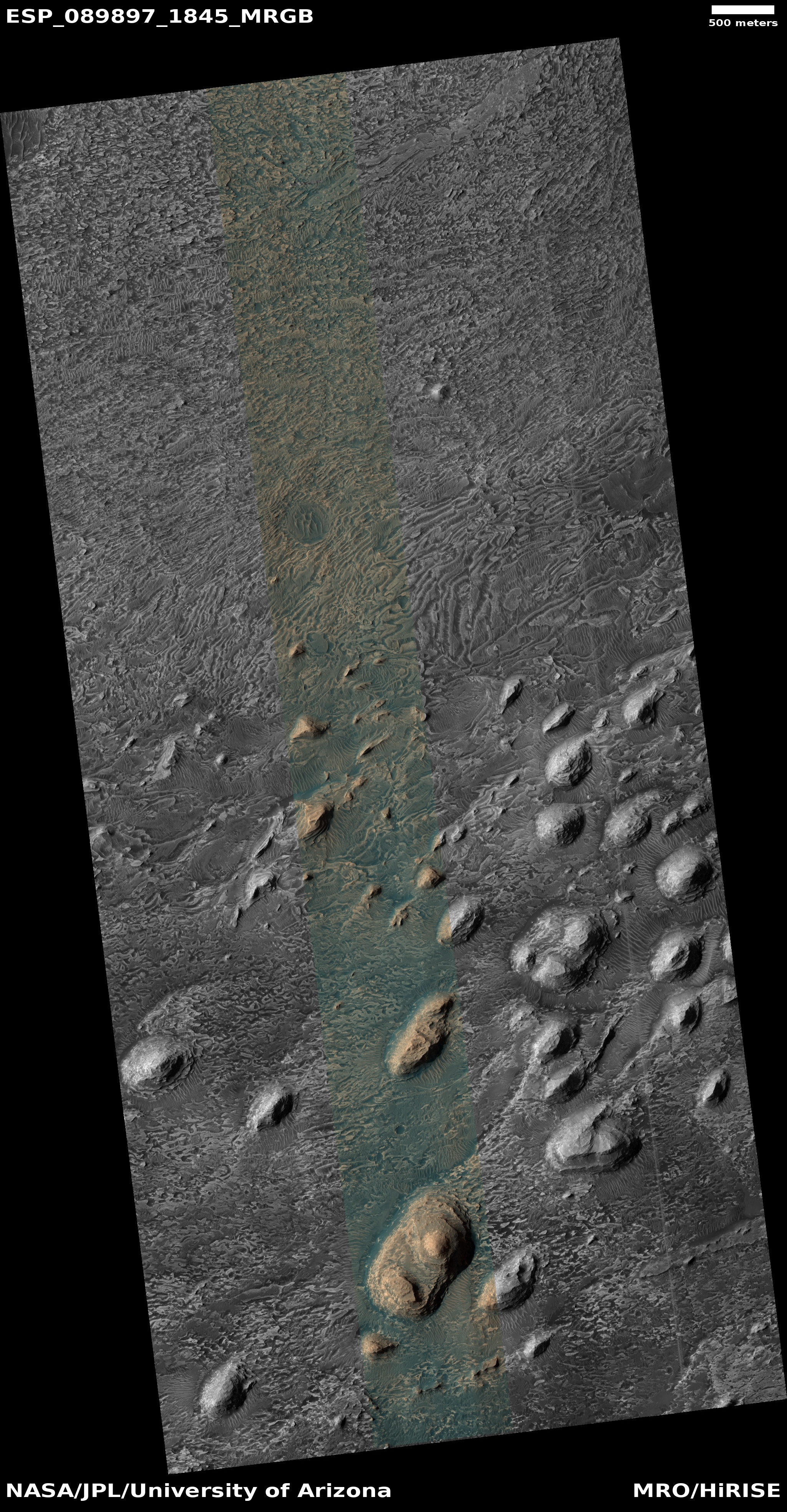
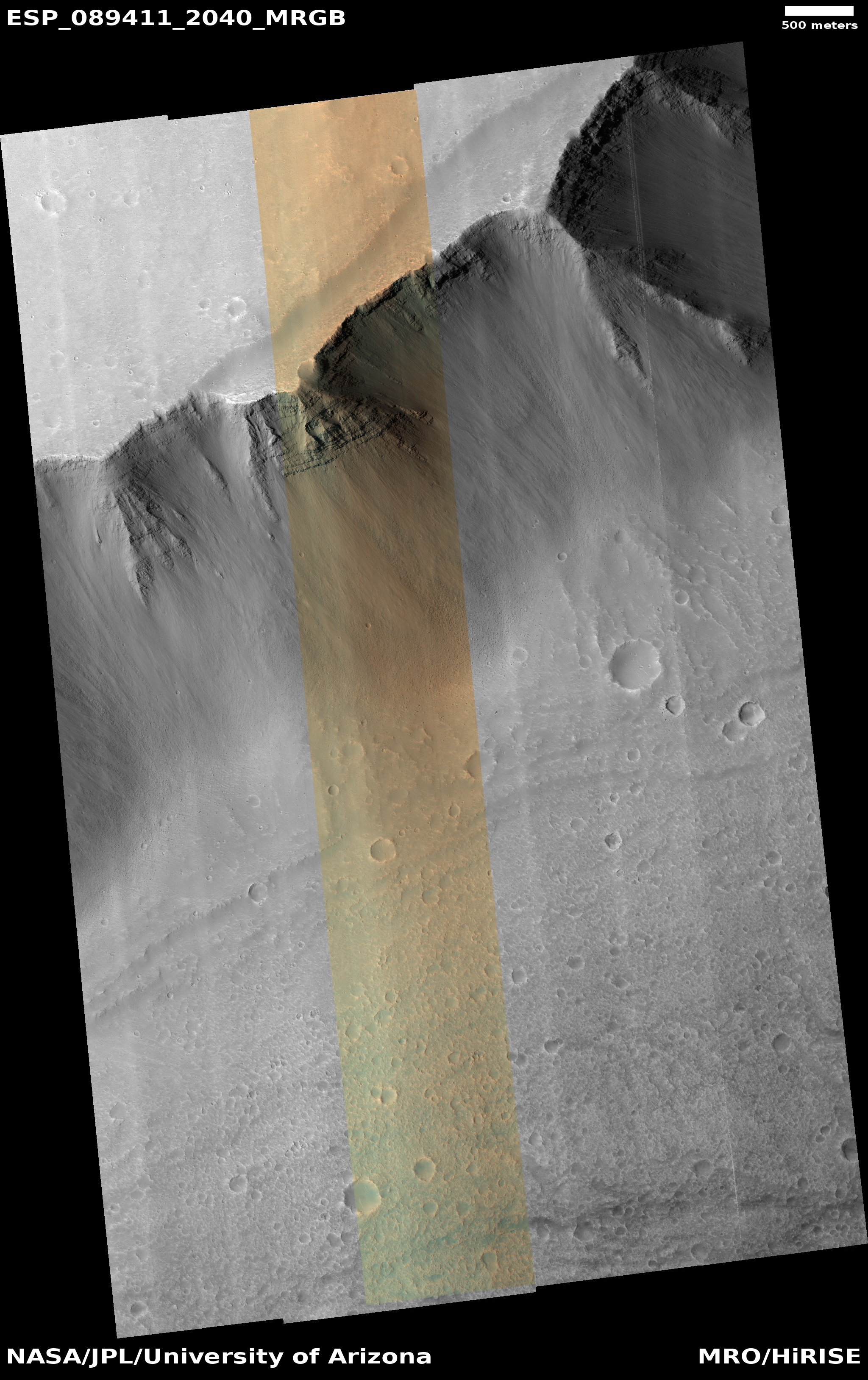
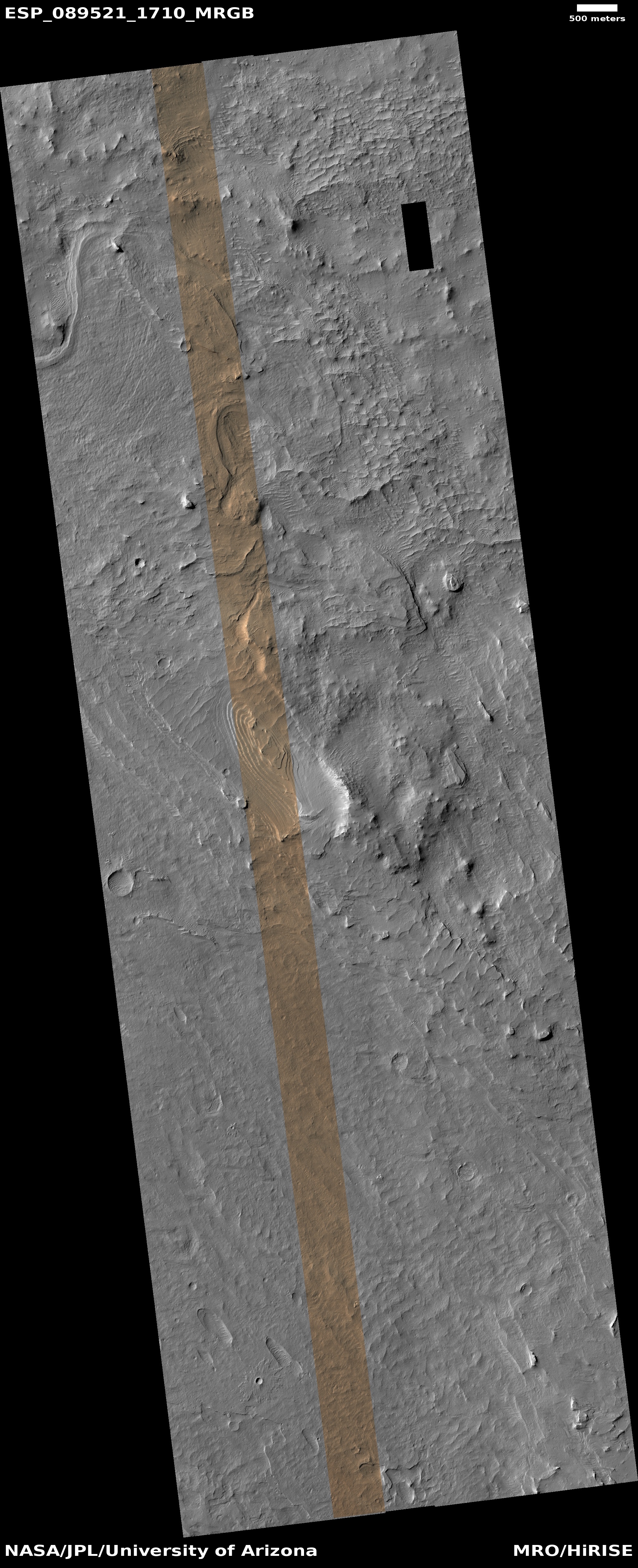
The uncertainty of science: New research that attempted to simulate conditions in the ice on Mars has determined that ancient microbes are more likely survive there for very long periods, as much as fifty million years, rather than the red planet’s dry sediments.
The research team, led by corresponding author Alexander Pavlov, a space scientist at NASA Goddard — who completed a doctorate in geosciences at Penn State in 2001 — suspended and sealed E. coli bacteria in test tubes containing solutions of pure water ice. Other E. coli samples were mixed with water and ingredients found in Mars sediment, like silicate-based rocks and clay.
The researchers froze the samples and transferred them to a gamma radiation chamber at Penn State’s Radiation Science and Engineering Center, which was cooled to minus 60 degrees Fahrenheit, the temperature of icy regions on Mars. Then, the samples were blasted with radiation equivalent to 20 million years of cosmic ray exposure on Mars’ surface, vacuum sealed and transported back to NASA Goddard under cold conditions for amino acid analysis. Researchers modelled an additional 30 years of radiation for a total 50-million-year timespan.
In pure water ice, more than 10% of the amino acids — the molecular building blocks of proteins — from the E. coli sample survived the simulated 50-million-year time span, while the samples containing Mars-like sediment degraded 10 times faster and did not survive. A 2022 study by the same group of researchers at NASA found that amino acids preserved in a 10% water ice and 90% Martian soil mixture were destroyed more rapidly than samples containing only sediment.
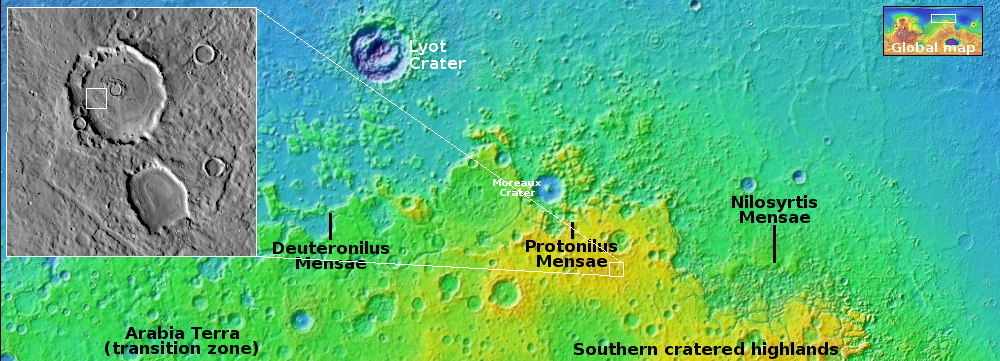
In other words, if there was ever microbiology on Mars, it is very unlikely Perseverance or Curiosity will ever find any, roving as they are in the dry Martian tropics.
Though this work has many uncertainties, especially in its assumption that it successfully simulated a 50-million-year time span, the result is hardly an earth-shaking discovery. If anything, it confirms the obvious, which is why NASA’s ludicrous claim that Perseverance’s prime mission is to look for life has always been a lie. It is traveling in the wrong place, a fact that was self-evident from the start.
Whether any microbiology might exist in Mars’ ice however is unknown. The odds are very very low, but not zero. If it does, it is even less likely it is living, based on orbital data.


