
China releases orbital image showing Zhurong on Mars
Click for original image.
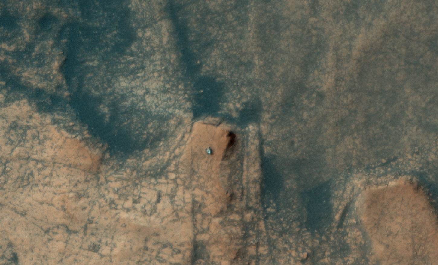
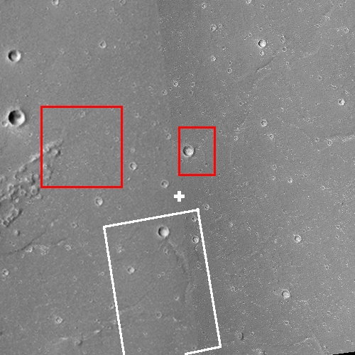
China’s state-run press today released two images taken by its Tianwen-1 Mars orbiter showing its Zhurong rover on the surface of Mars.
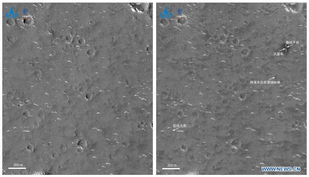
Those photos are to the right. The top shows the location prior to the rover’s landing. The bottom, taken on June 2nd, shows the rover and its landing platform, as well as its entry capsule, heat shield, and parachutes.
In the image, taken by a high-resolution camera installed on the orbiter of Tianwen-1 at 6 p.m. on June 2 (Beijing Time), two bright spots are visible in the upper right corner. The larger one is the landing platform, and the smaller one is the Zhurong Mars rover, the CNSA said.
…The dark area surrounding the landing platform might be caused by the influence of the engine plume during landing. The symmetrical bright stripes in the north-south direction of the landing platform might be from fine dust when the landing platform emptied the remaining fuel after landing, the CNSA said.
The bright spots in the center of the image are the back cover of the entry capsule and the parachute jettisoned during the landing. Another bright spot in the lower left of the image is the heat shield of the entry capsule, the CNSA said.
Based on the second photo, it appears that Zhurong has barely moved far from the lander since it rolled off on May 22nd.
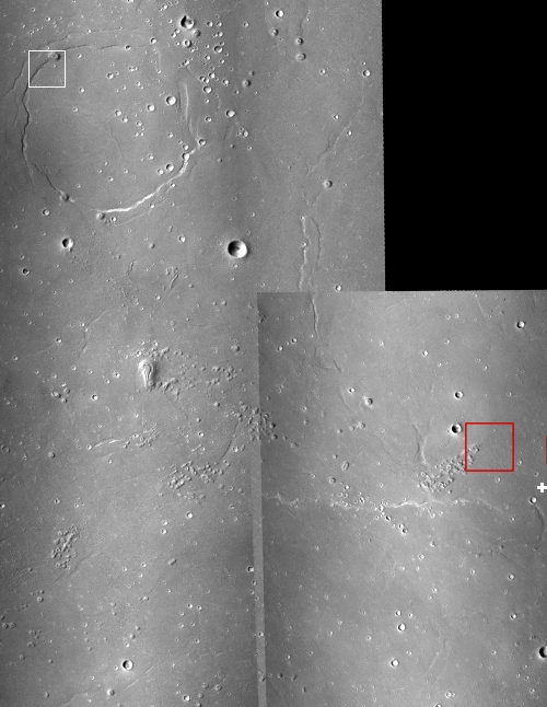
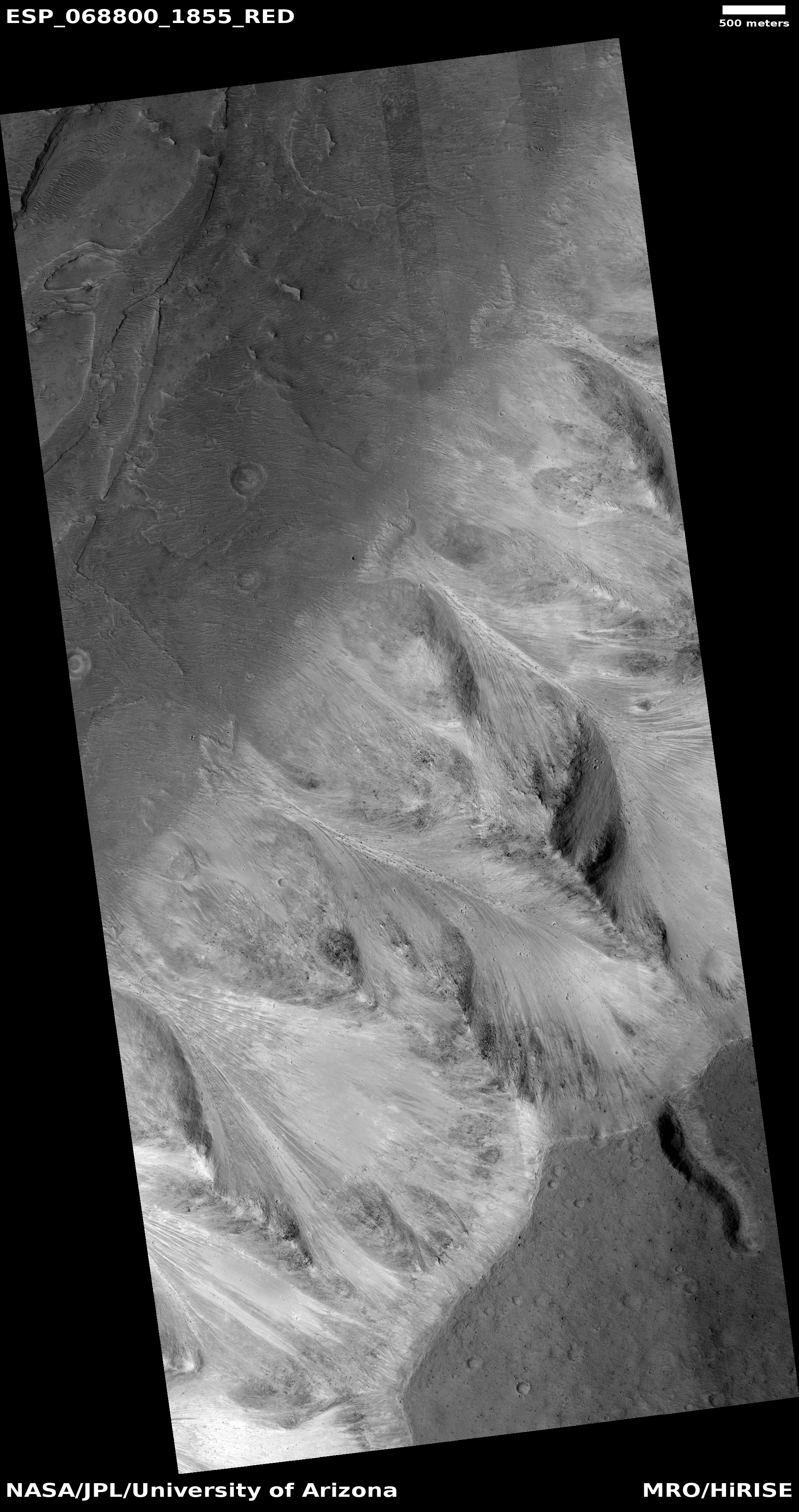
And that’s all we really know. The Chinese press release provides no details about how well the rover is functioning, where exactly this location is on the surface of Mars, nor anything else of interest. The rover might be in the region covered by the MRO photos I posted yesterday, but if so the resolution isn’t good enough for me to find the spot. I am sure however that MRO scientists are presently carefully comparing their highest resolution version with these Tianwen-1 images to pinpoint it. They will then follow-up with their own high-resolution images of Zhurong from MRO.
The rover has a planned mission length of 90 Martian days, which runs through the end of August. How much the Chinese government will reveal about its operations and results however remains completely unknown. If it functions as planned expect science papers published in about a year. If not we will only get silence.


