
The strange beginning of a 300-mile-long meandering canyon on Mars
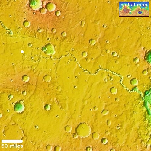
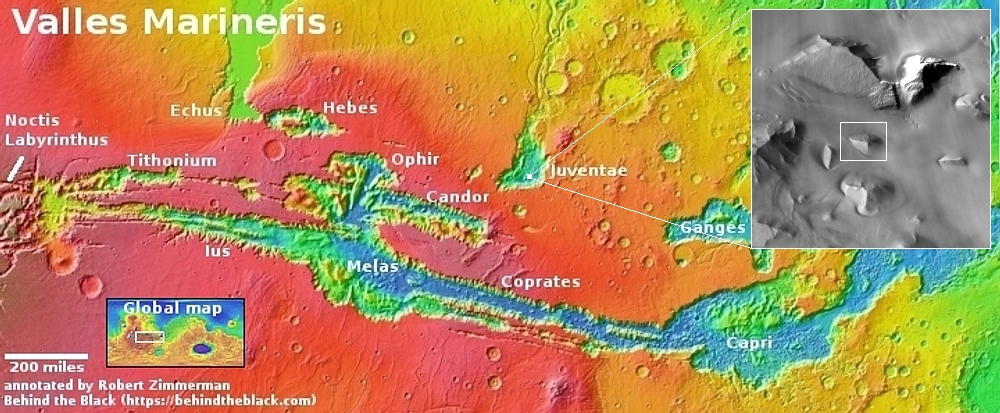
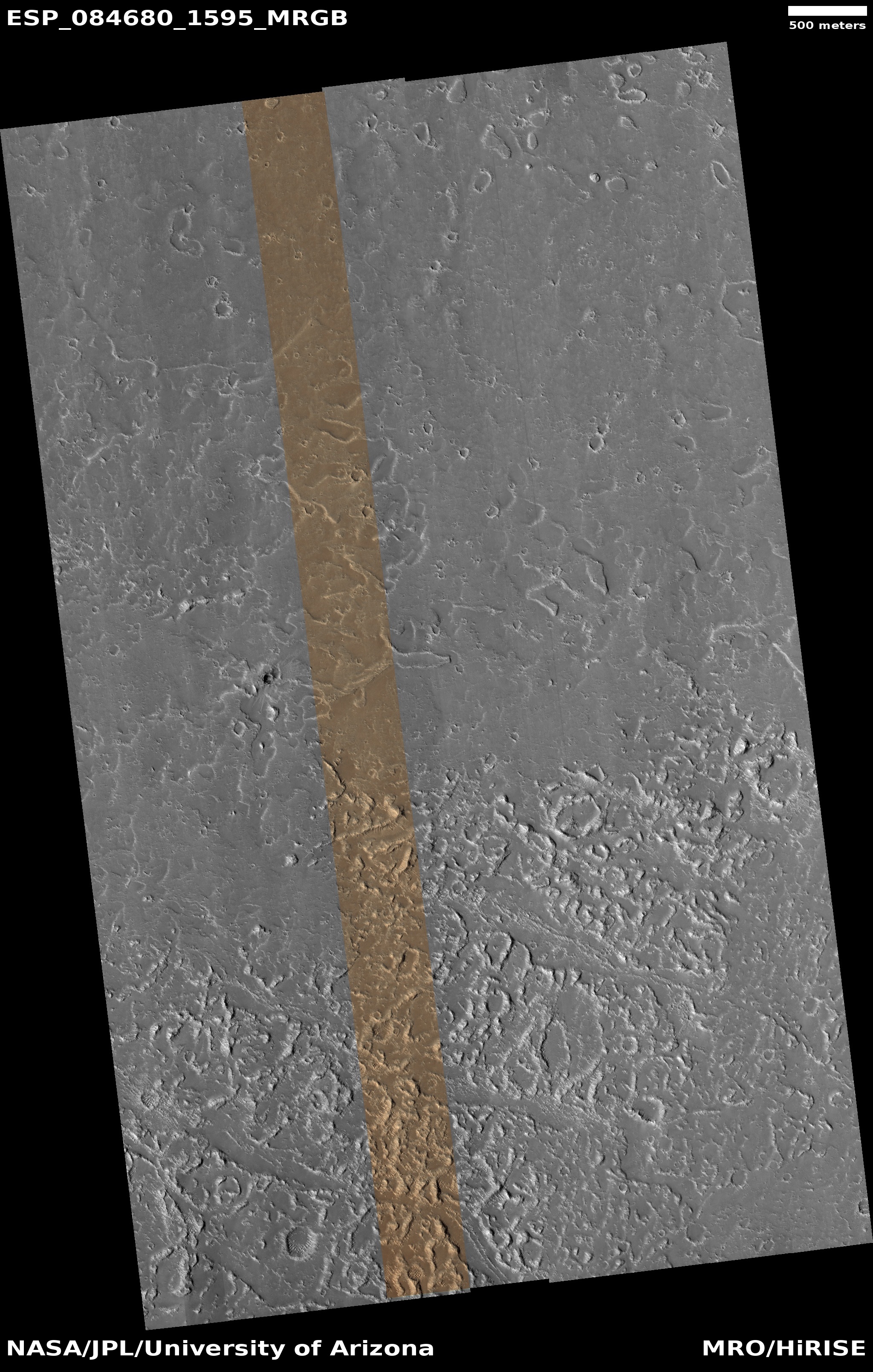
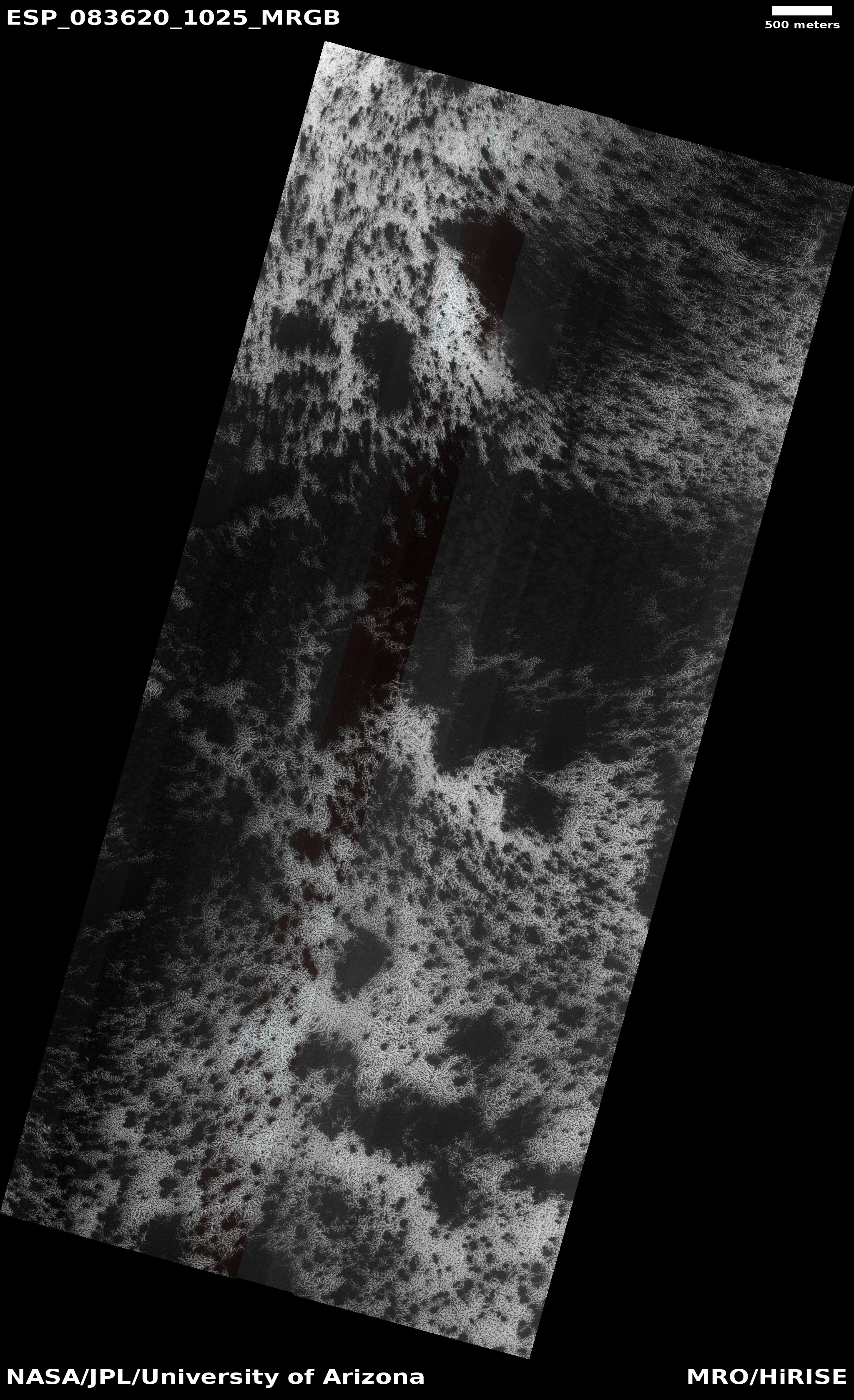
Today’s cool image will be unlike most cool images, in that we will begin not with the image but with the overview map to the right. The long meandering canyon at the center of this map is Nirgal Vallis, a 300-mile long canyon on Mars that eventually drains to the east into a much larger drainage system that runs south-to-north several thousand miles into the Martian northern lowland plains.
At first glance Nirgal Vallis invokes a river system. It starts in the west as several branches that combine to form a single major canyon meandering eastward until it enters that south-to-north system. To our Earth eyes, this canyon suggests it was carved by water flowing eastward, the many drainage routes combining as they flowed downhill.
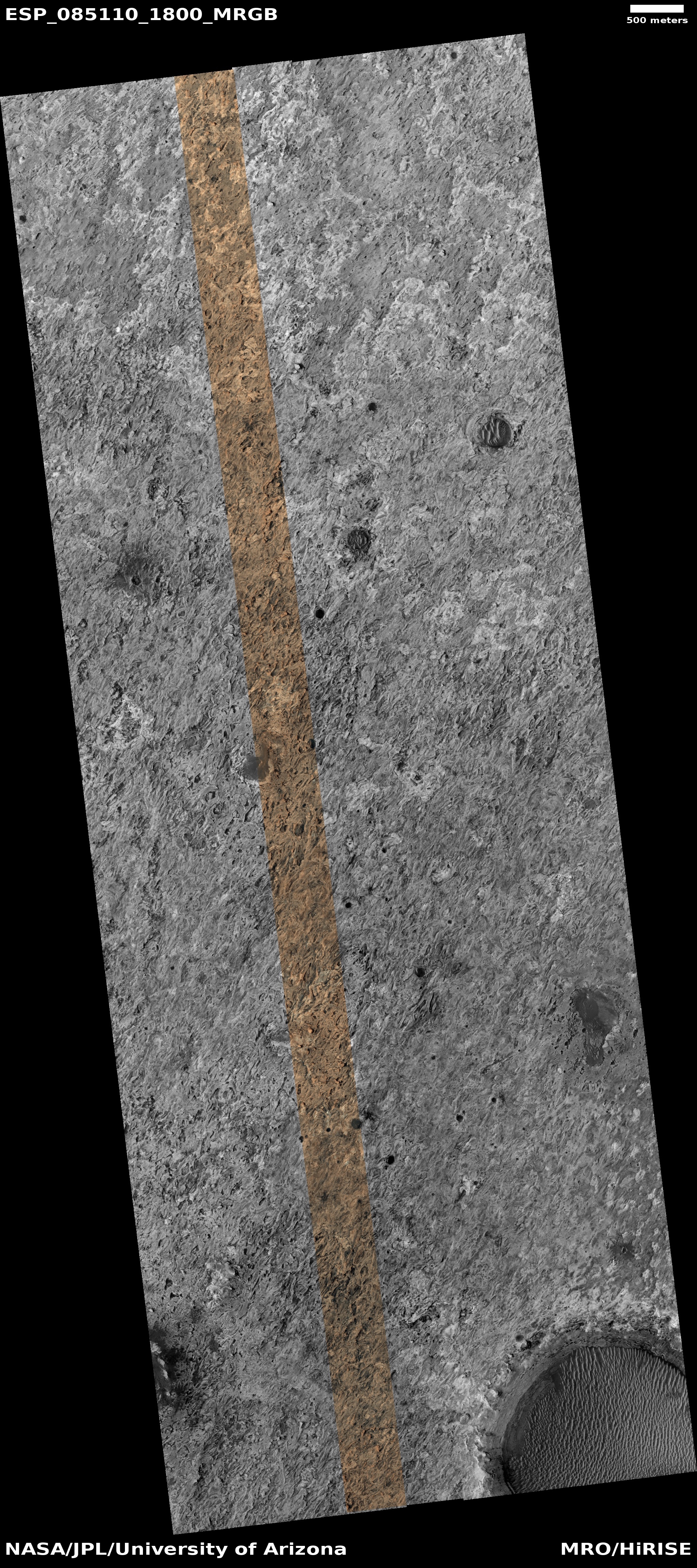
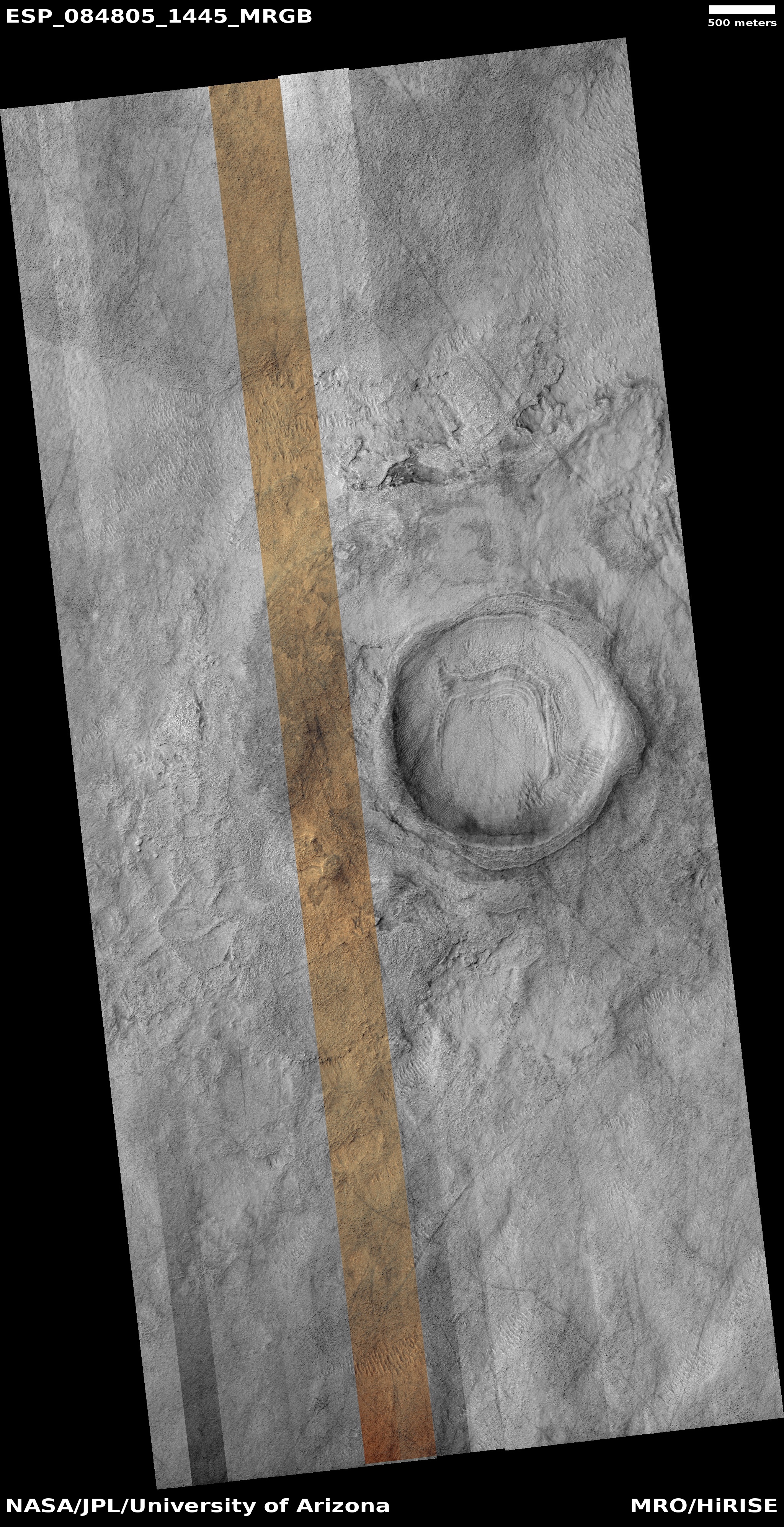
Today’s the cool image, its location indicated by the white dot, tells us however that liquid water might not have been what created this canyon.
» Read more
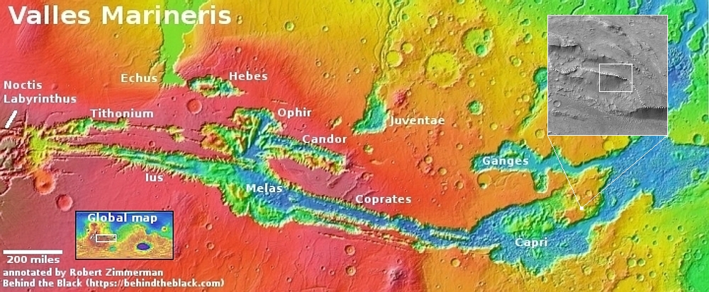
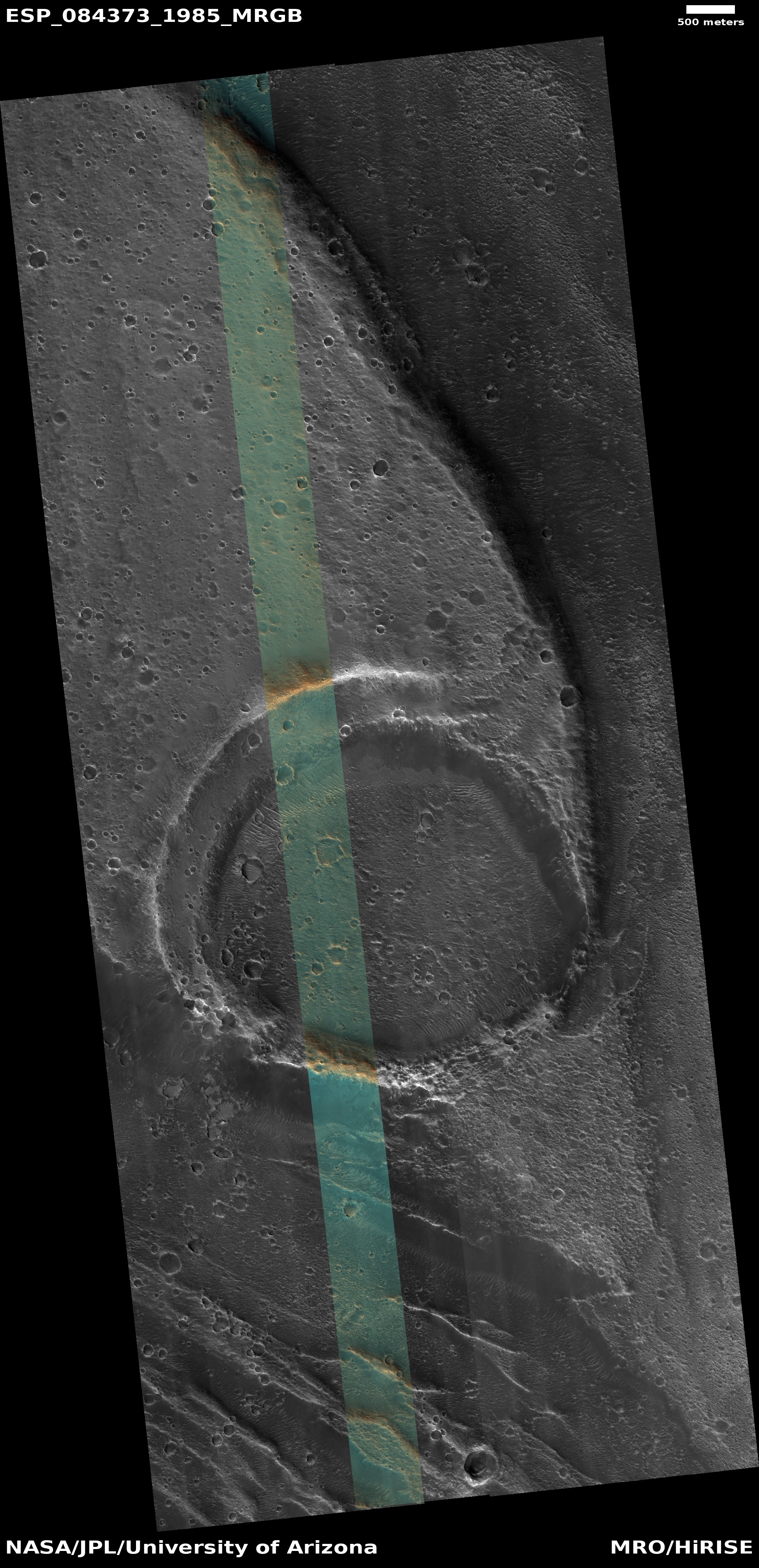
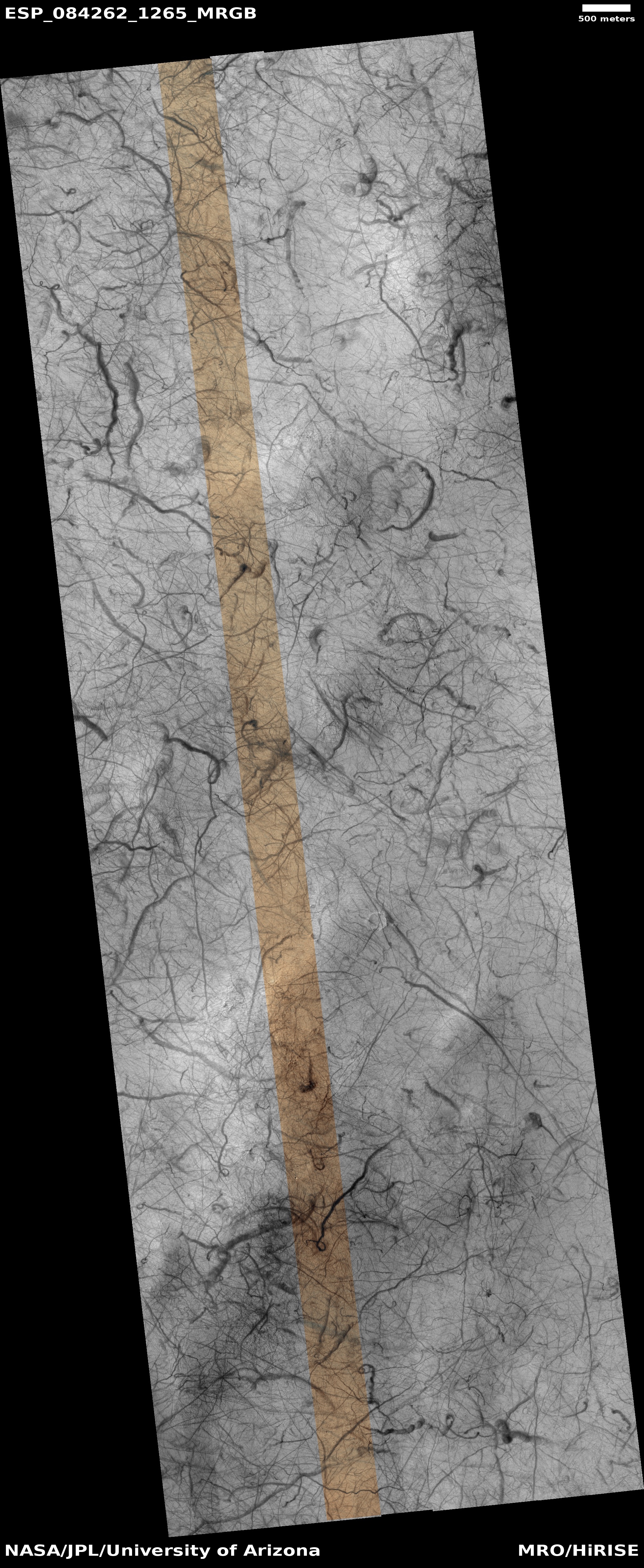
Today’s cool image will be unlike most cool images, in that we will begin not with the image but with the overview map to the right. The long meandering canyon at the center of this map is Nirgal Vallis, a 300-mile long canyon on Mars that eventually drains to the east into a much larger drainage system that runs south-to-north several thousand miles into the Martian northern lowland plains.
At first glance Nirgal Vallis invokes a river system. It starts in the west as several branches that combine to form a single major canyon meandering eastward until it enters that south-to-north system. To our Earth eyes, this canyon suggests it was carved by water flowing eastward, the many drainage routes combining as they flowed downhill.
Today’s the cool image, its location indicated by the white dot, tells us however that liquid water might not have been what created this canyon.
» Read more


