
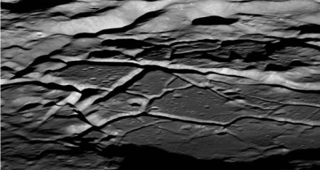
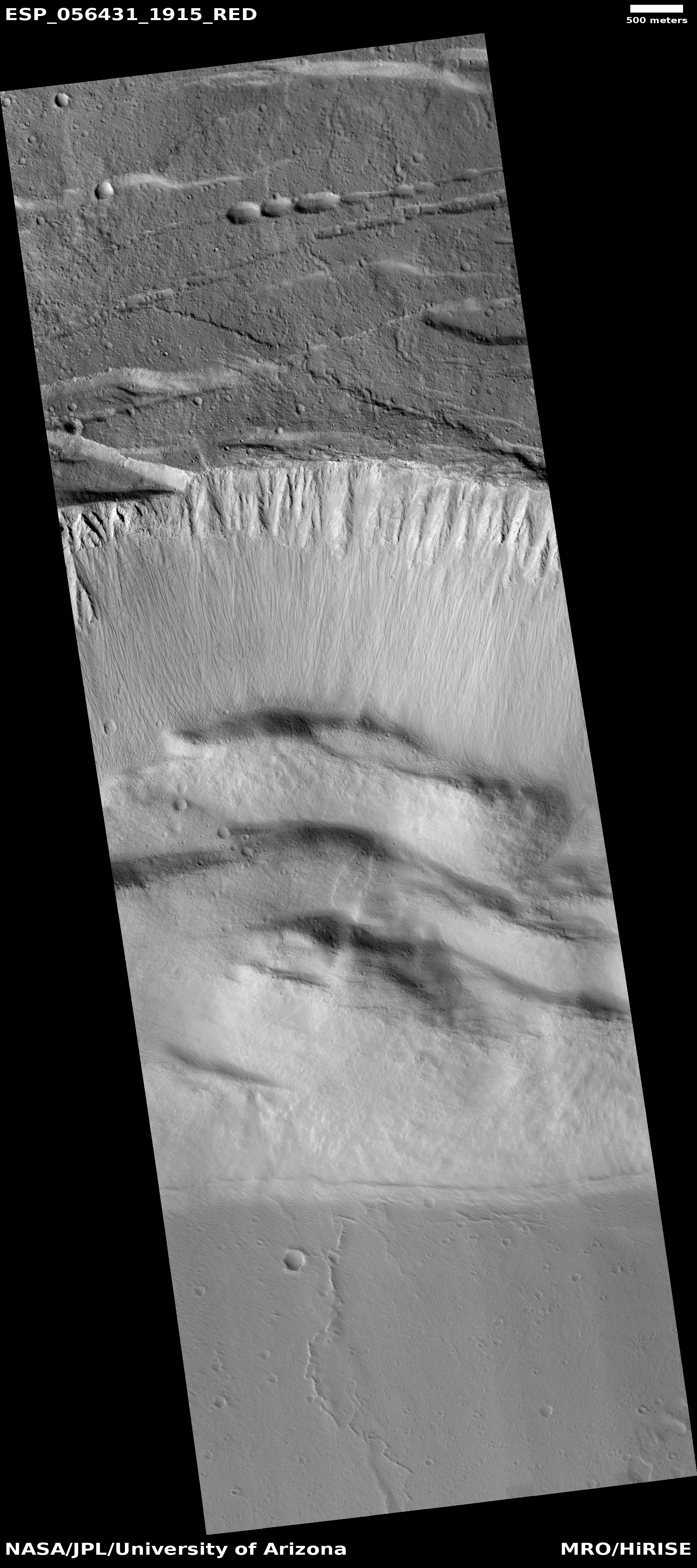
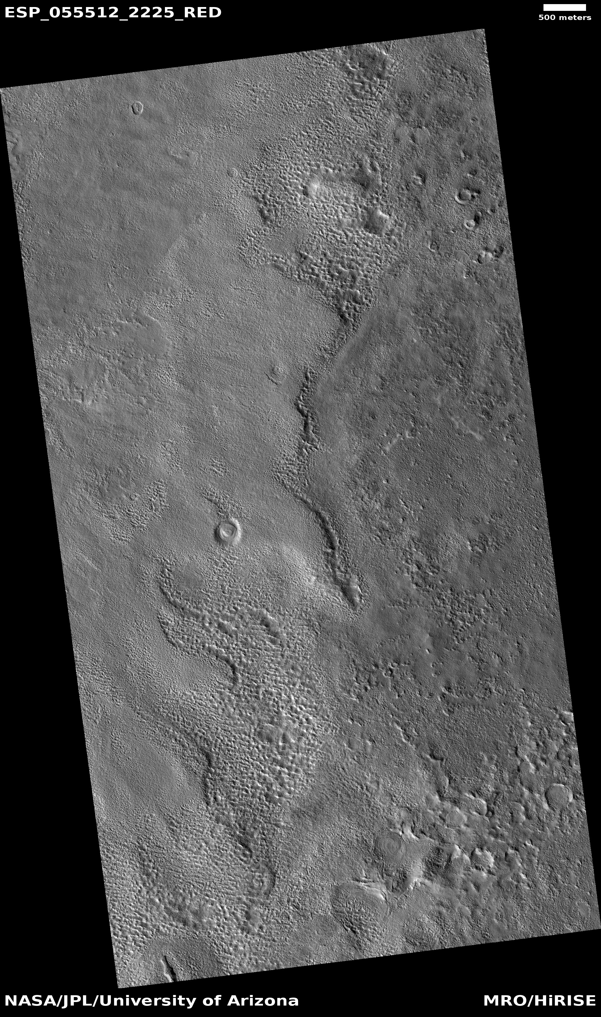
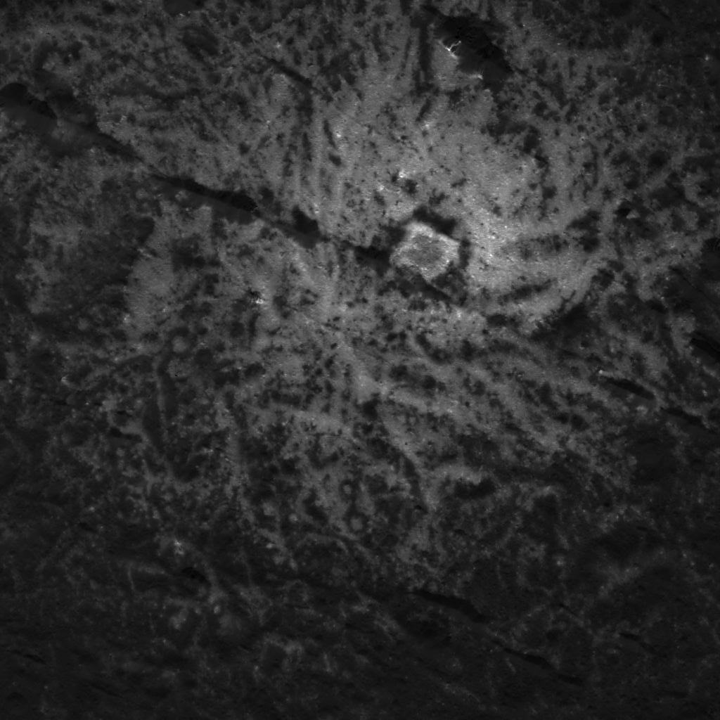
Dried mud cracks on Mars?
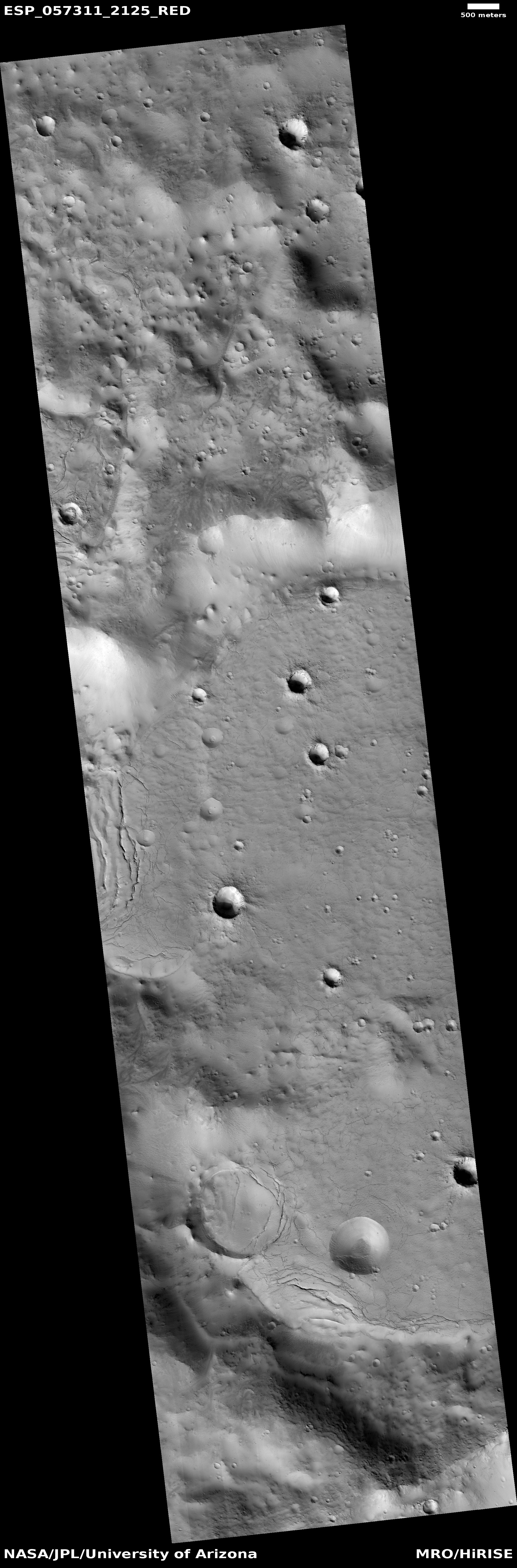
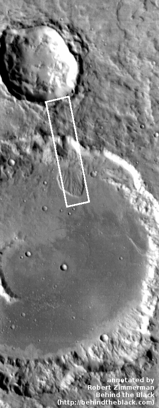
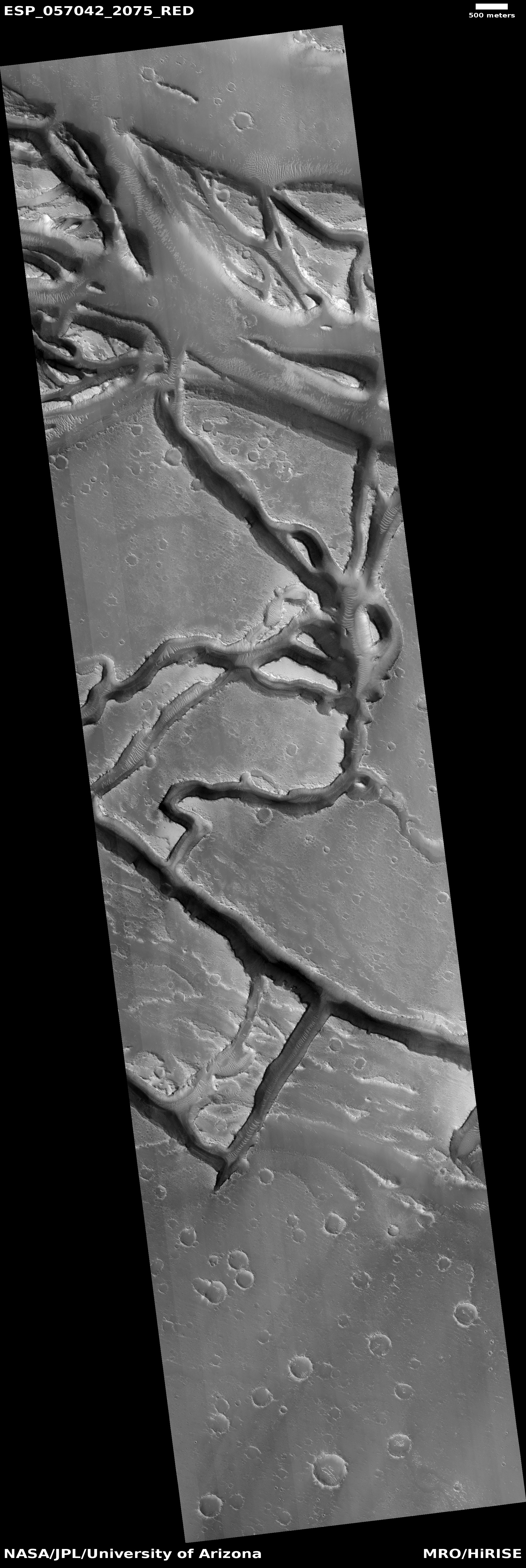
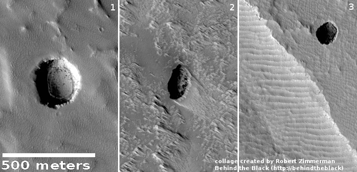
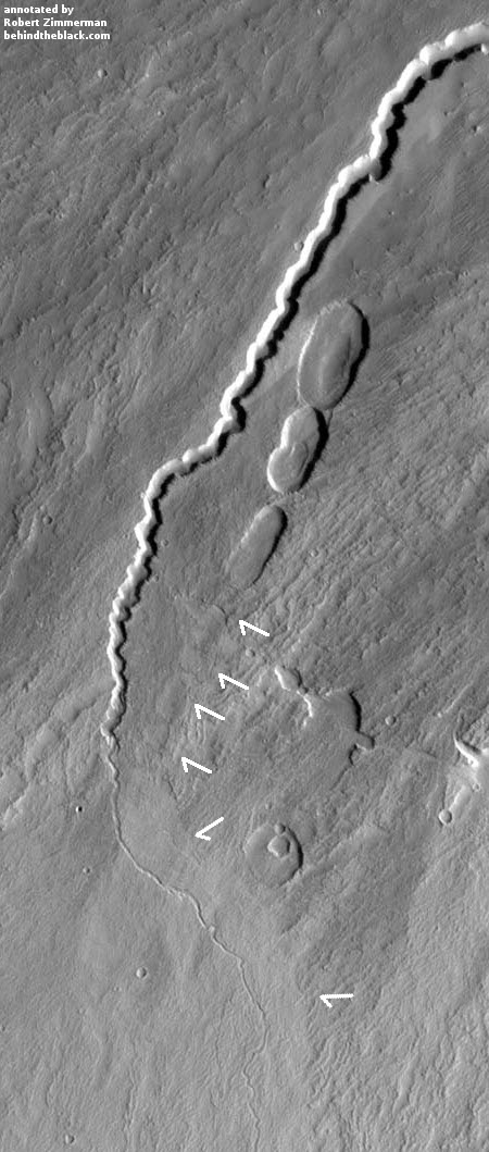
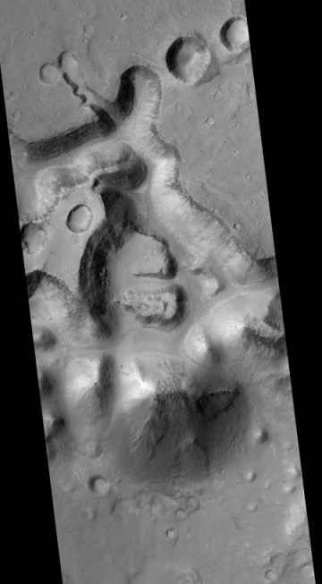
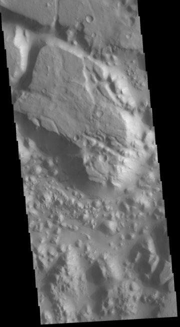
Cool image time! The image to the right, cropped and rotated to post here, was one of the uncaptioned photographs in the December Mars Reconnaissance Orbiter (MRO) image release. If you click on the image you can see the entire photograph. I have cropped the most interesting area, though cracks can be seen in other areas in the image.
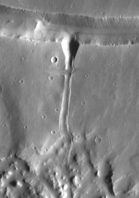
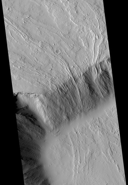
What we appear to have here is a darker lower valley filled with dried mud, which over time has cracked as it dried. At its edges there appear to be ripples, almost like one sees on the beach as waves wash the shore. The perimeter slopes even show darker streaks as if the water in some places lapped up the slopes, and in others flowed downward into the valley.
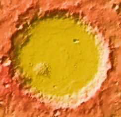
Later, several meteorite impacts occurred, the largest of which produced concentric dried cracks on its outside perimeter. This impact also provides a rough idea of the depth of the mud in this valley.
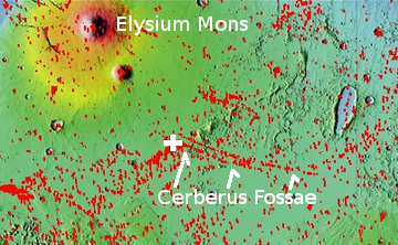
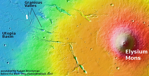
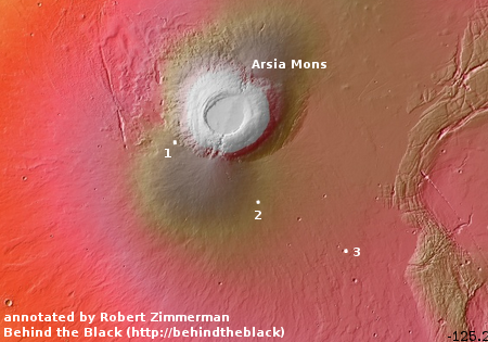
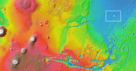
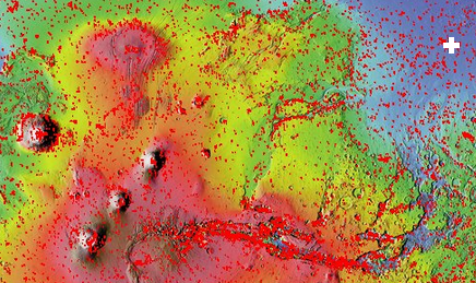
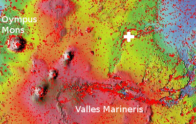
Mud of course suggests that this lower valley once was filled with water. Was it? It is not possible now to come to a firm conclusion, but this image’s location shown by the red dot in the overview map below and to the right, provides a clue that strengthens this hypothesis.
» Read more


