
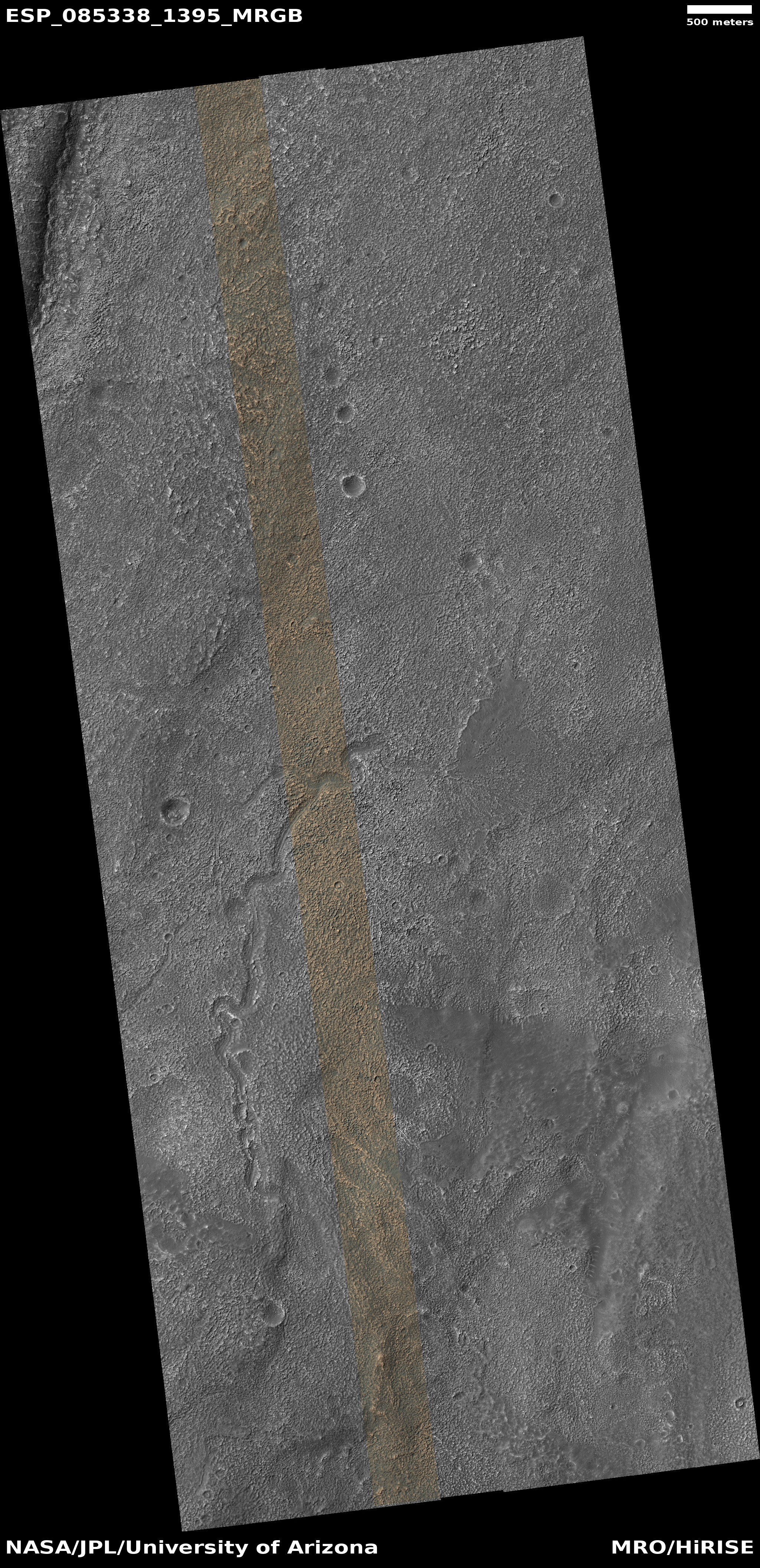
Glacial material even in Mars’ Death Valley
Click for original image.
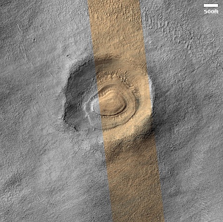
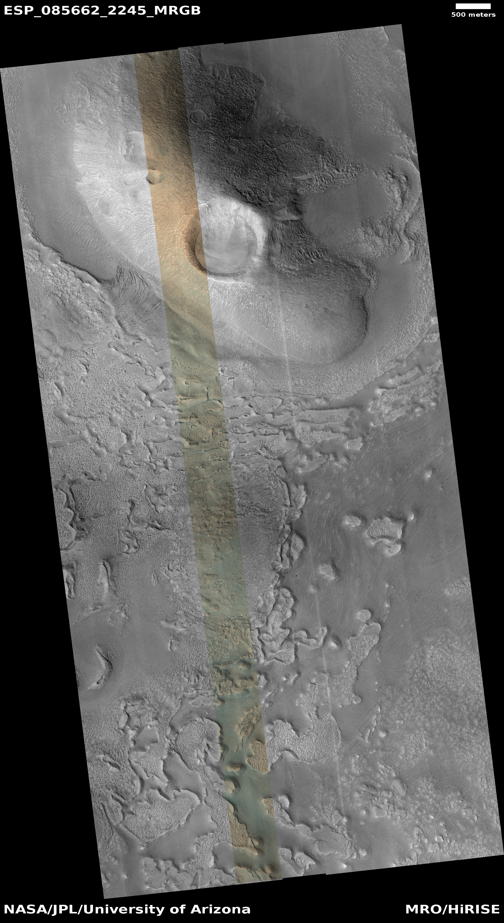
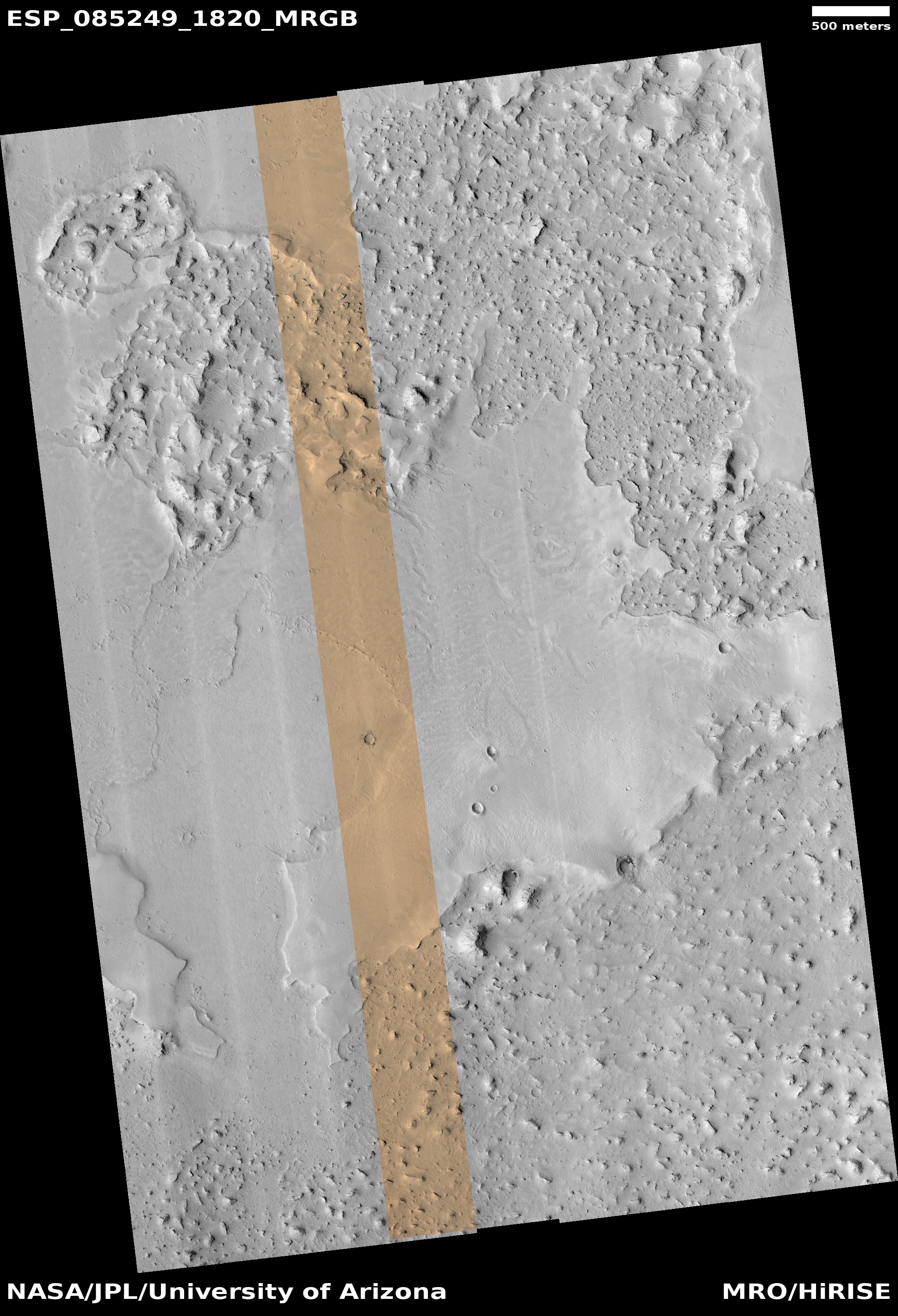
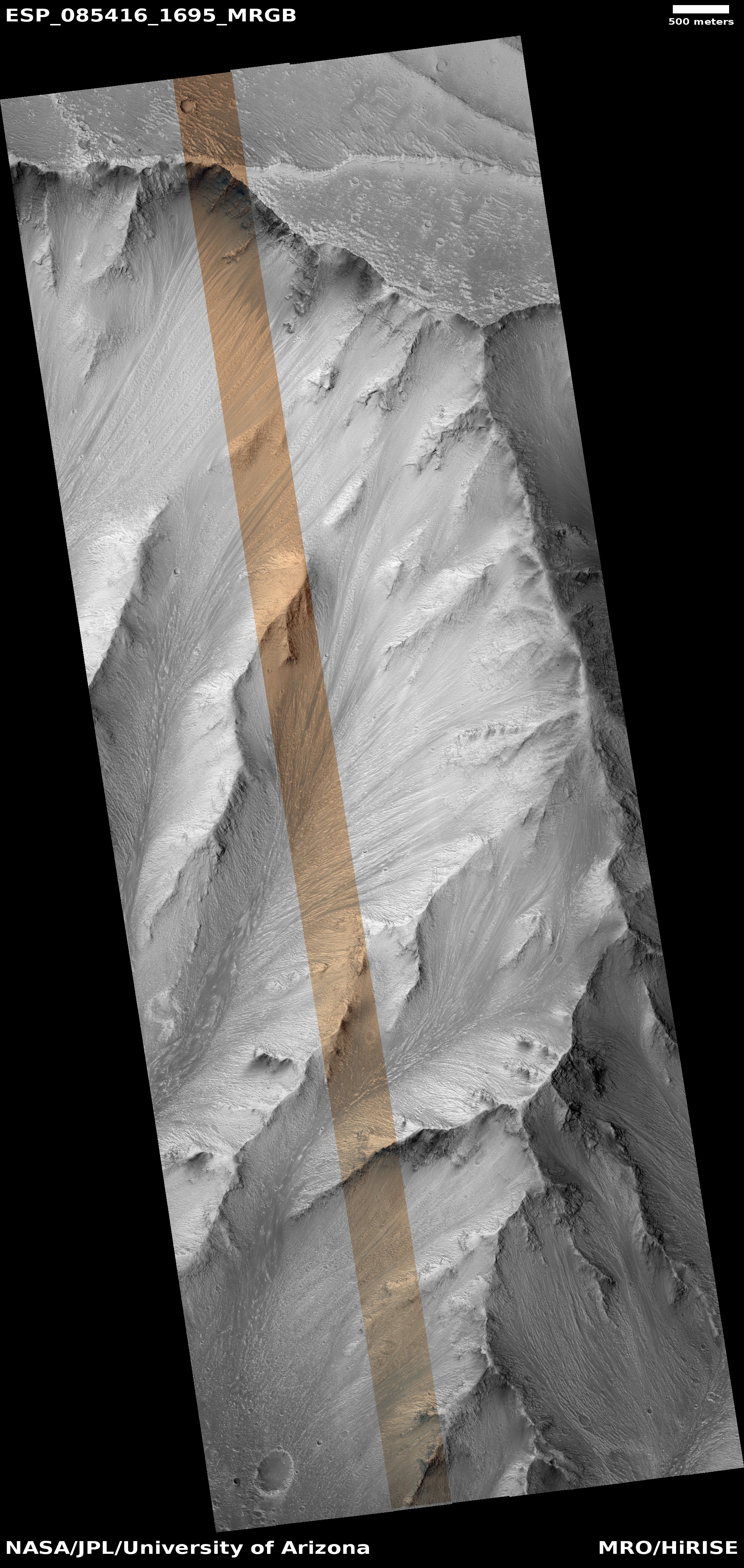
Cool image time! The picture to the right, cropped, reduced, and sharpened to post here, was taken on October 25, 2024 by the high resolution camera on Mars Reconnaissance Orbiter (MRO).
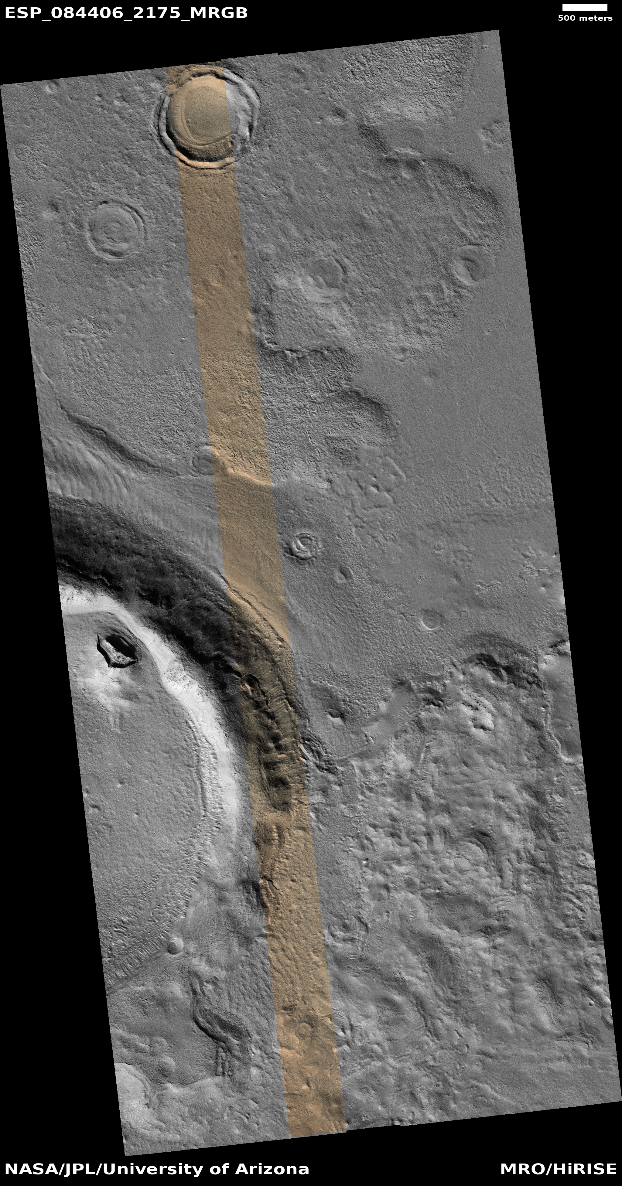
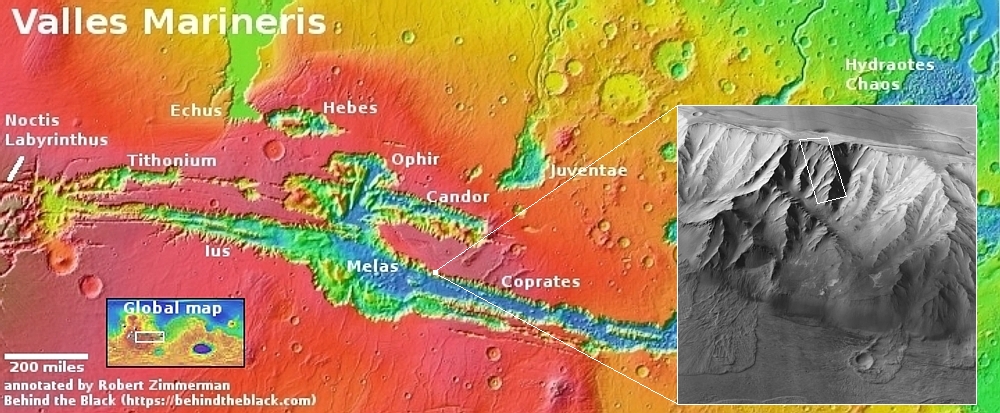
The science team labels this a “layered feature,” which is appropriately vague in order to not prematurely push a conclusion that is not yet proven. Extensive orbital imagery and data however strongly suggests the layers inside this crater are glacial in nature, each layer laid down during Mars’ many thousands of climate cycles as the planet’s rotational tilt swung back and forth from 11 degrees to 60 degrees. According to the most popular theory today, when that tilt was high, the mid-latitudes (where this 3,000-foot-wide unnamed crater is located) were actually colder than the planet’s poles. The water ice at the icecaps would then migrate from the poles to the mid-latitudes, causing the glaciers to grow.
When the tilt was low the process would reverse, with the mid-latitudes now warmer than the poles, causing the glaciers to shrink. The wedding cake nature of these layers is likely because, over time, Mars has steadily lost its total budget of water to space, so with each cycle the glacier could not grow as much.
Though many such glacial-filled craters have been found in the mid-latitudes, reinforcing these theories, the location of this crater is even more interesting.
» Read more
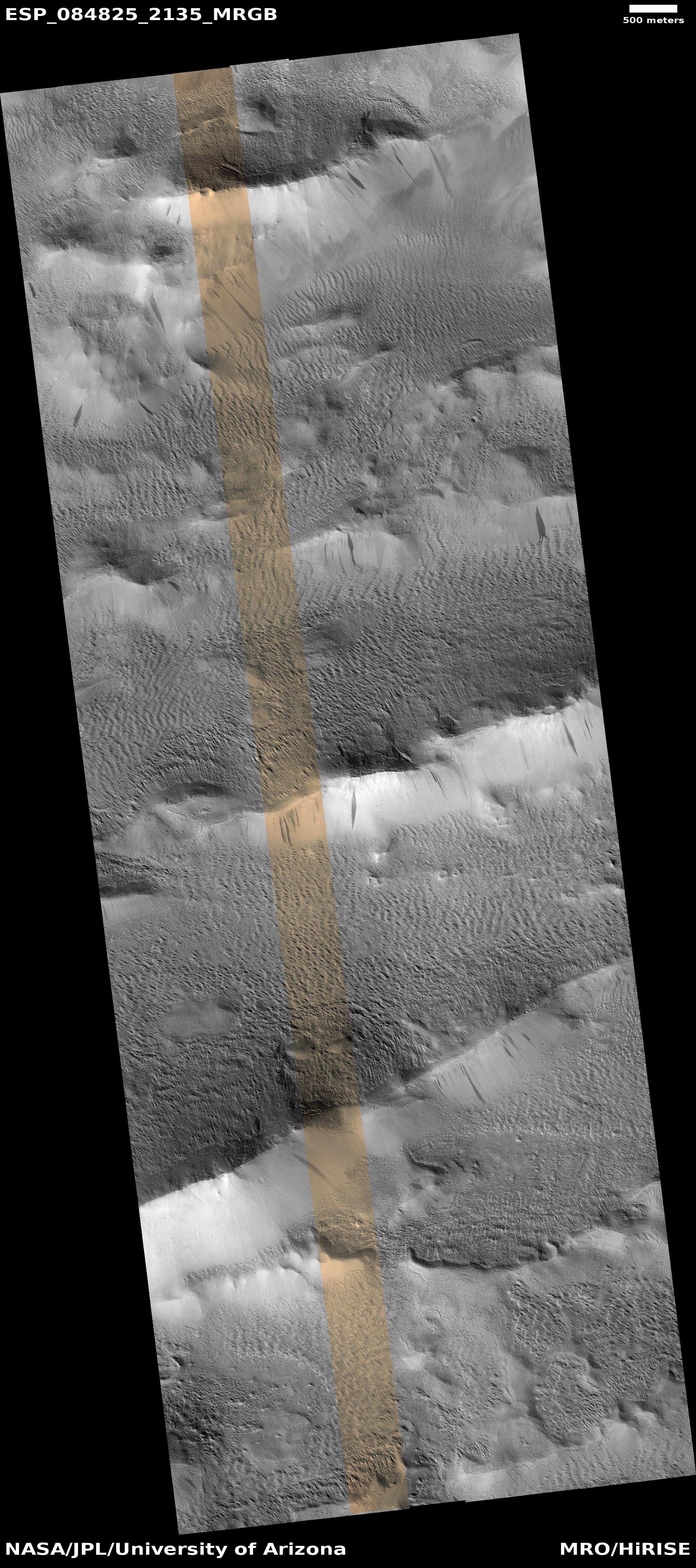
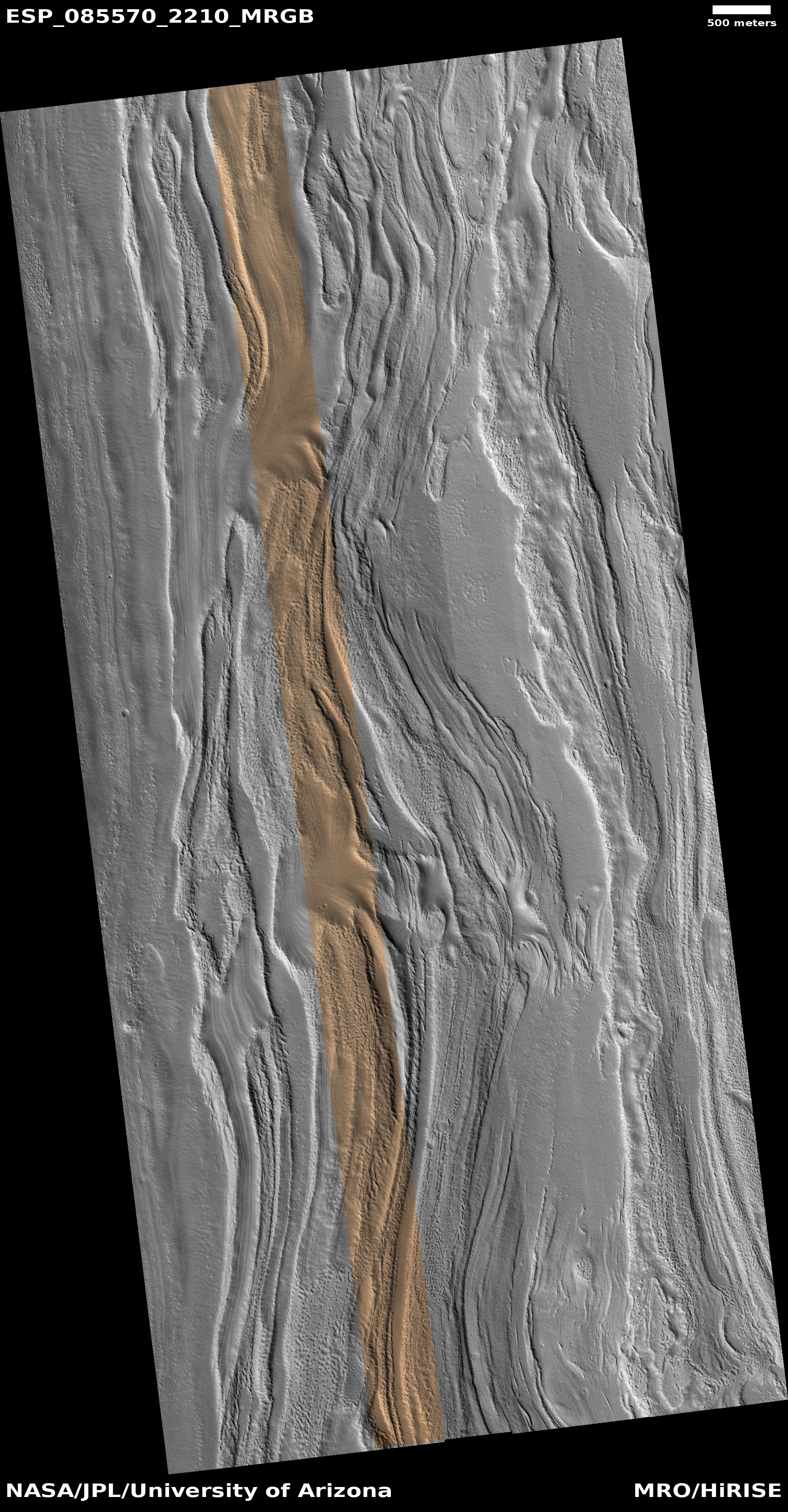
Click for original image.
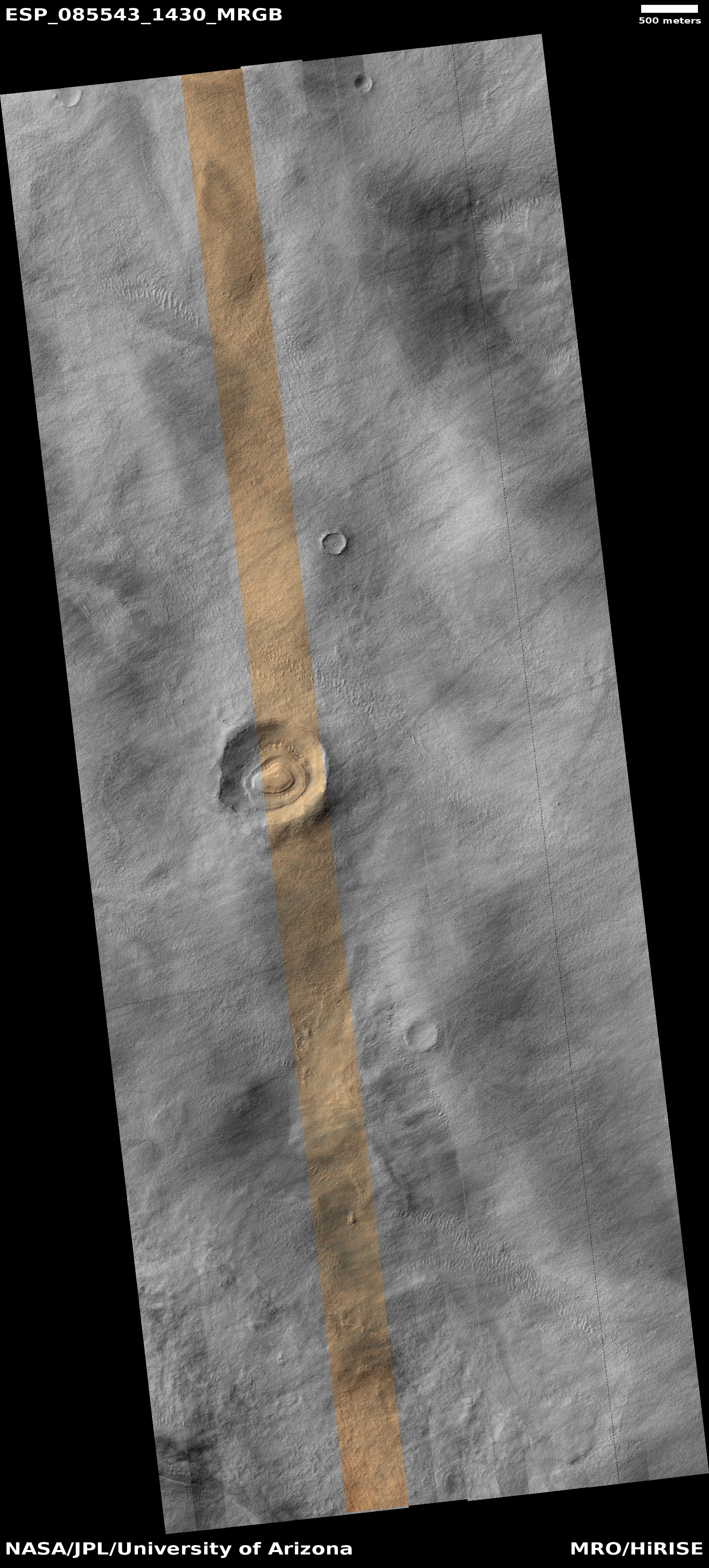
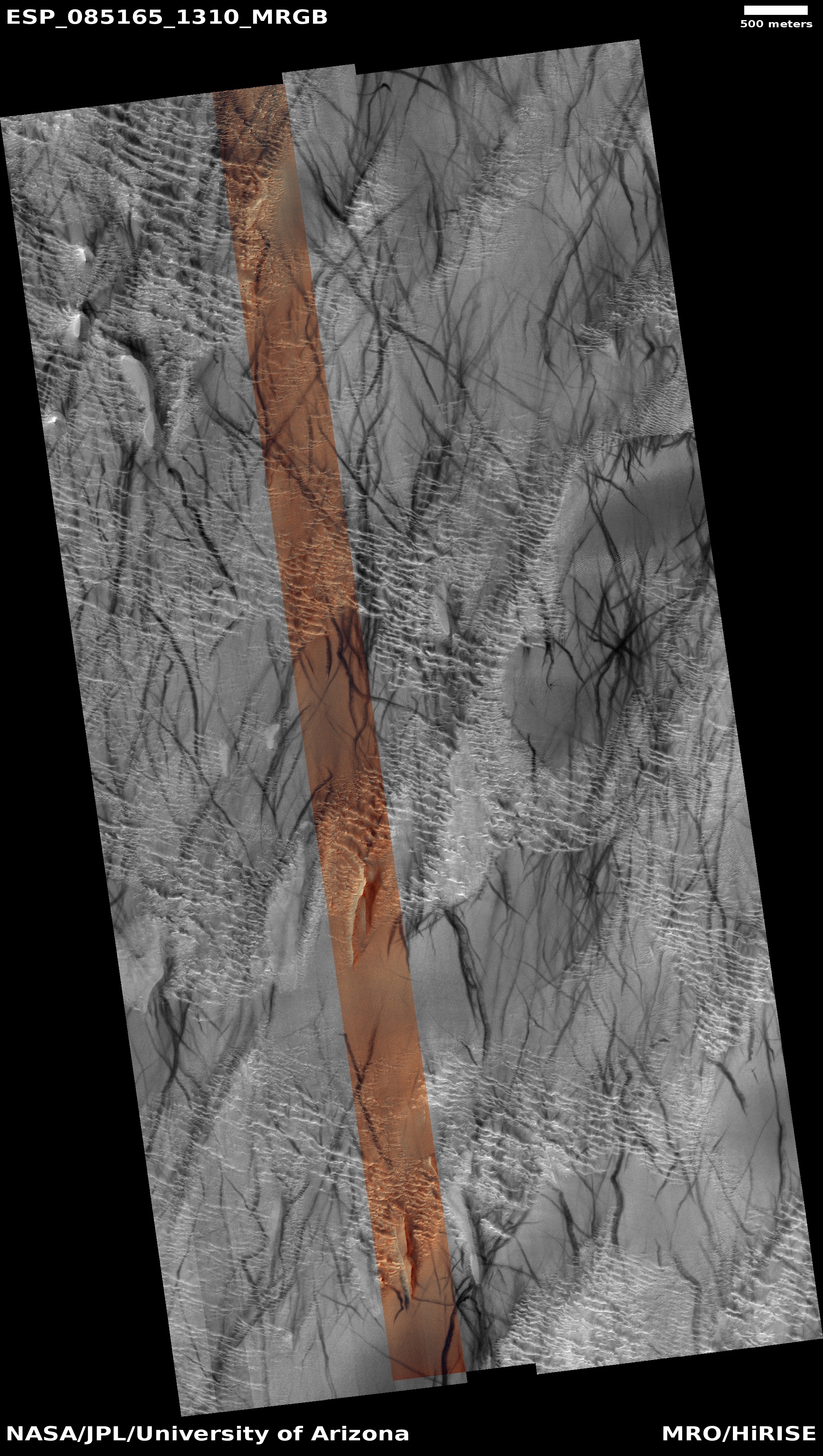
Cool image time! The picture to the right, cropped, reduced, and sharpened to post here, was taken on October 25, 2024 by the high resolution camera on Mars Reconnaissance Orbiter (MRO).
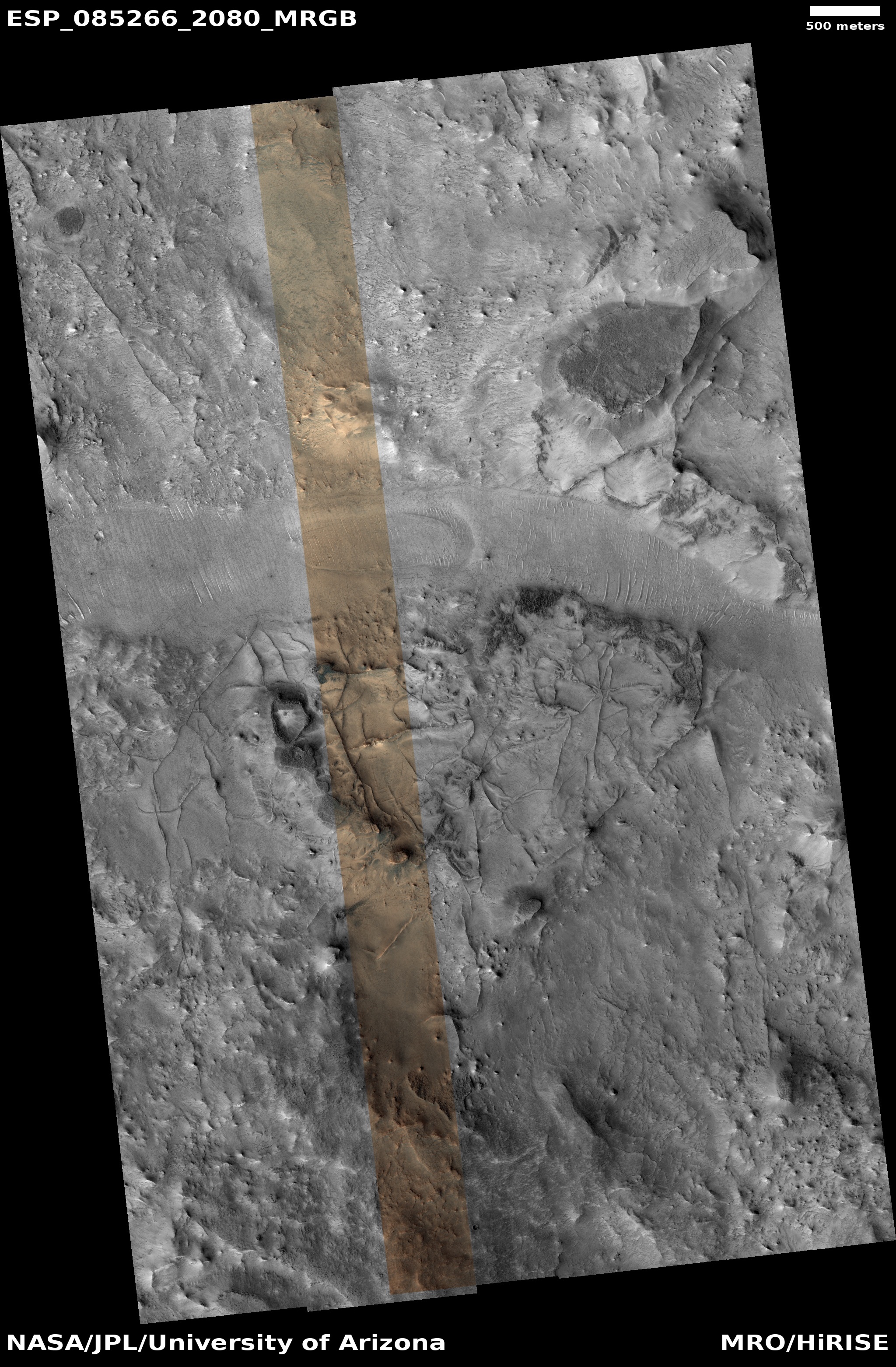
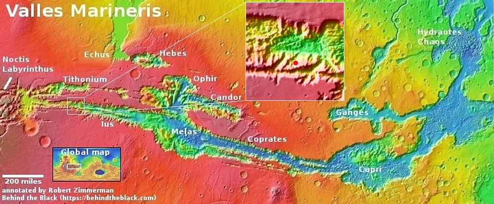
The science team labels this a “layered feature,” which is appropriately vague in order to not prematurely push a conclusion that is not yet proven. Extensive orbital imagery and data however strongly suggests the layers inside this crater are glacial in nature, each layer laid down during Mars’ many thousands of climate cycles as the planet’s rotational tilt swung back and forth from 11 degrees to 60 degrees. According to the most popular theory today, when that tilt was high, the mid-latitudes (where this 3,000-foot-wide unnamed crater is located) were actually colder than the planet’s poles. The water ice at the icecaps would then migrate from the poles to the mid-latitudes, causing the glaciers to grow.
When the tilt was low the process would reverse, with the mid-latitudes now warmer than the poles, causing the glaciers to shrink. The wedding cake nature of these layers is likely because, over time, Mars has steadily lost its total budget of water to space, so with each cycle the glacier could not grow as much.
Though many such glacial-filled craters have been found in the mid-latitudes, reinforcing these theories, the location of this crater is even more interesting.
» Read more


