
Gullies on a crater wall in the icy north of Mars
Click for original image.
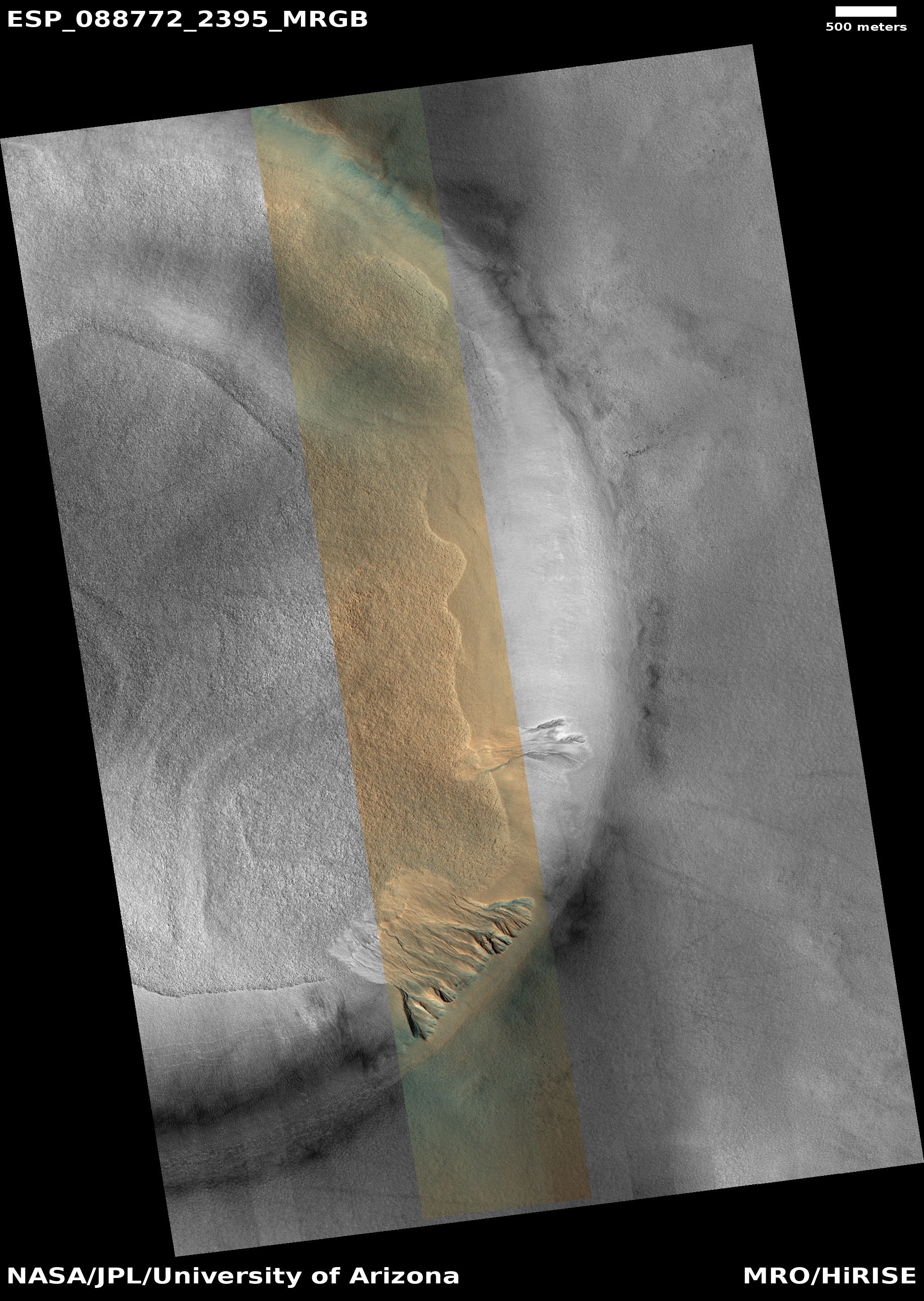
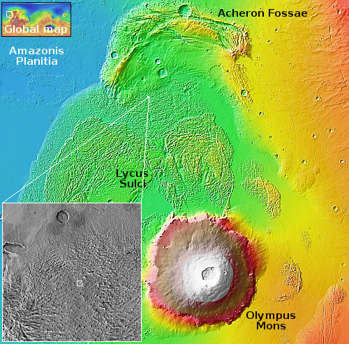
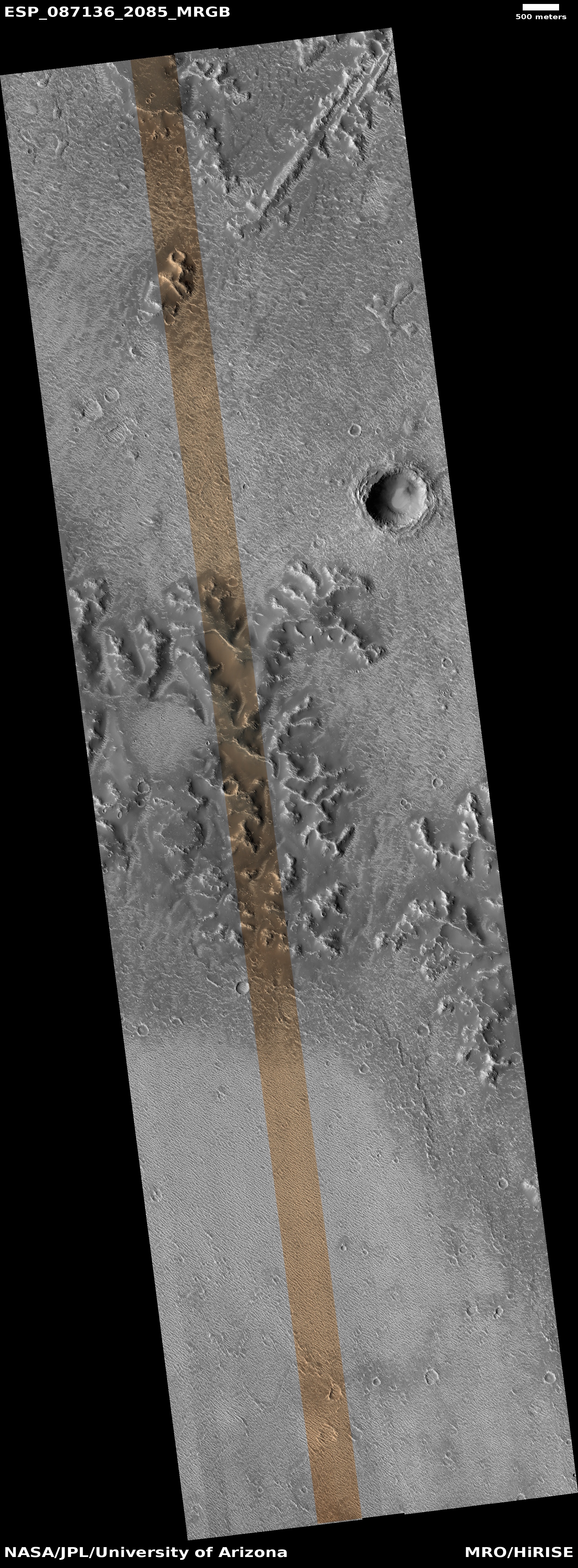
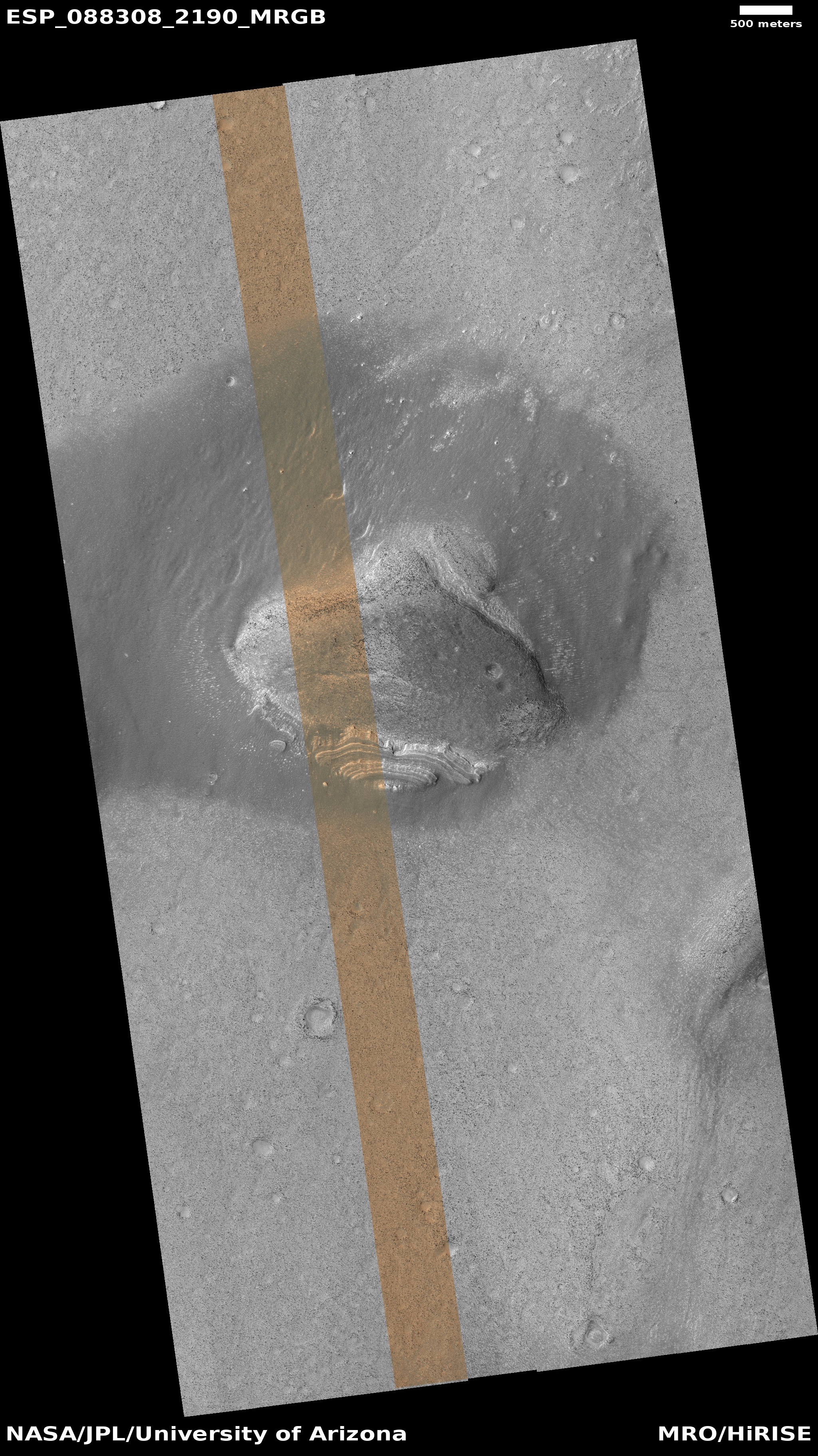
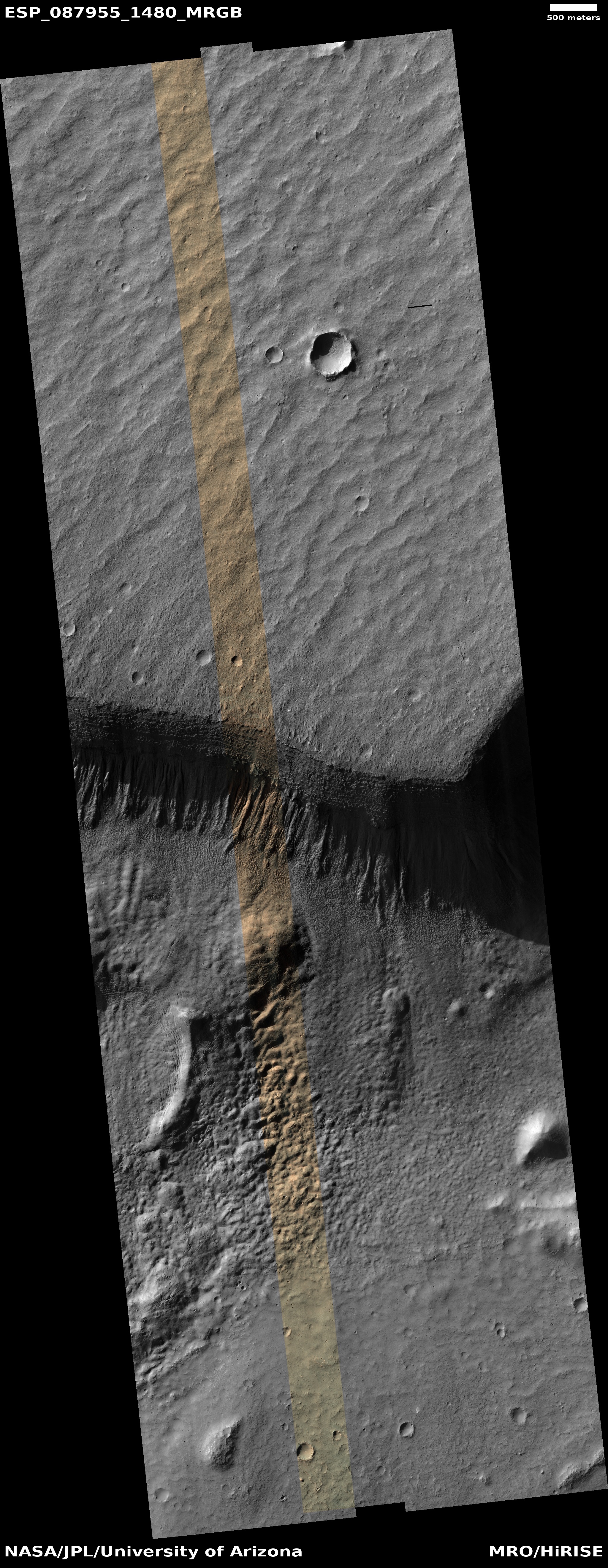
Cool image time! The picture to the right, cropped, reduced, and sharpened to post here, was taken on July 4, 2025 by the high resolution camera on Mars Reconnaissance Orbiter (MRO). It shows the lower right quadrant of a five-mile-wide unnamed crater in the high northern mid-latitudes of Mars.
The science team in its label for this picture focuses on the gullies visible on the crater’s interior wall. To my Earth-bound eye, these gullies look like recent erosion caused by underground ice sublimating into gas, causing the surface to collapse downward into the crater. This however is a purely uneducated guess.
The floor of the crater however shows features that resemble glacial fill, seen in numerous high latitude craters on Mars. This is not surprising, as the crater is located at 59 degrees north latitude, close enough to the pole for there to be a lot of near surface ice to be present.
» Read more


