
The smooth and extremely calm methane lakes of Titan

Click for full image.
Using archival radar data obtained by the Saturn orbiter Cassini from one of its many fly-bys of the moon Titan, scientists now believe that most of the high northern latitude lakes on Titan are mostly made of pure methane, not ethane, and that their surface is remarkably calm and smooth. From the abstract:
During its 119th flyby of the moon, the Cassini spacecraft conducted a bistatic radar experiment observing a group of seven lakes in Titan’s Northern Lake District located between (72°N, 143°W) and (77°N, 131°W). The orbiter transmitted a continuous-wave signal at a wavelength of 3.56 cm (X-band) toward Titan’s surface, targeting the moving specular reflection point between the spacecraft and Earth. As the antenna footprint intercepted the liquid surfaces of the lakes, distinct specular reflections were detected on Earth by the 70-m antenna at NASA’s Canberra Deep Space Network complex. Analysis of these reflections shows that all seven lakes exhibit similar dielectric properties—linked to their composition—and surface roughness, suggesting they are methane-dominated and may have a few millimeters of surface roughness. [emphasis mine]
The highlighted phrase underscores what previous data had shown, that the methane lakes of Titan are remarkably calm, almost to the point of absurdity.
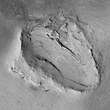
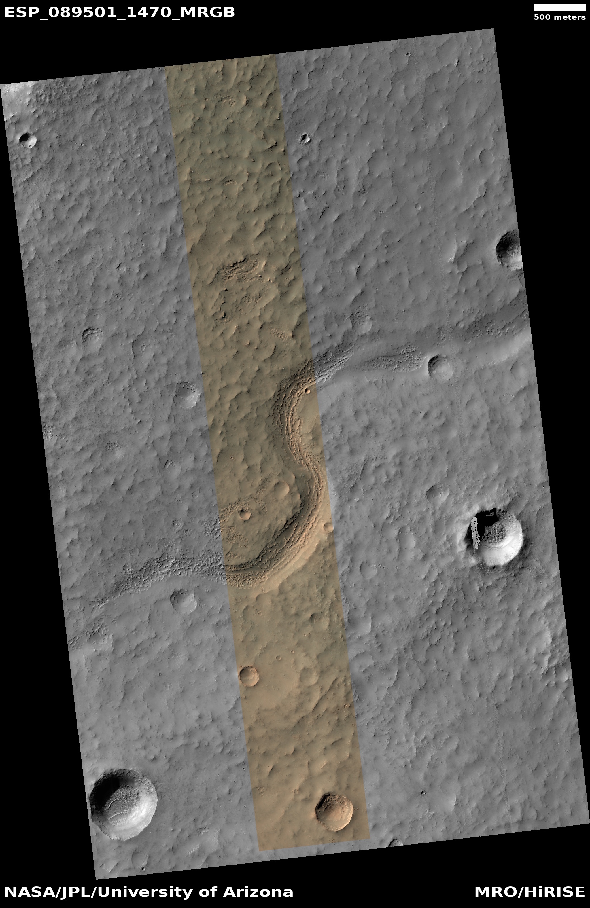
The image to the right, figure 1 of the paper, shows the track of this radar observation. Based on this data as well as data obtained during a later fly-by of another nearby lake, the scientists posit that all the lakes in this region are likely similar, mostly filled with methane having a surface with barely no ripples at all.
This information is crucial for the planned Dragonfly mission, that will fly over and onto Titan’s methane lakes, though not in the high latitudes but in its equatorial regions. Knowing the conditions as best as possible will increase the odds that this very risky mission will succeed.


