The icy floor of one of Mars’ most ancient craters
Click for original image.
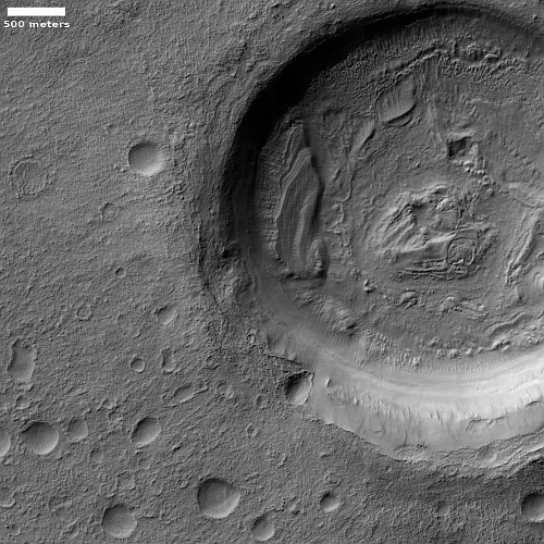
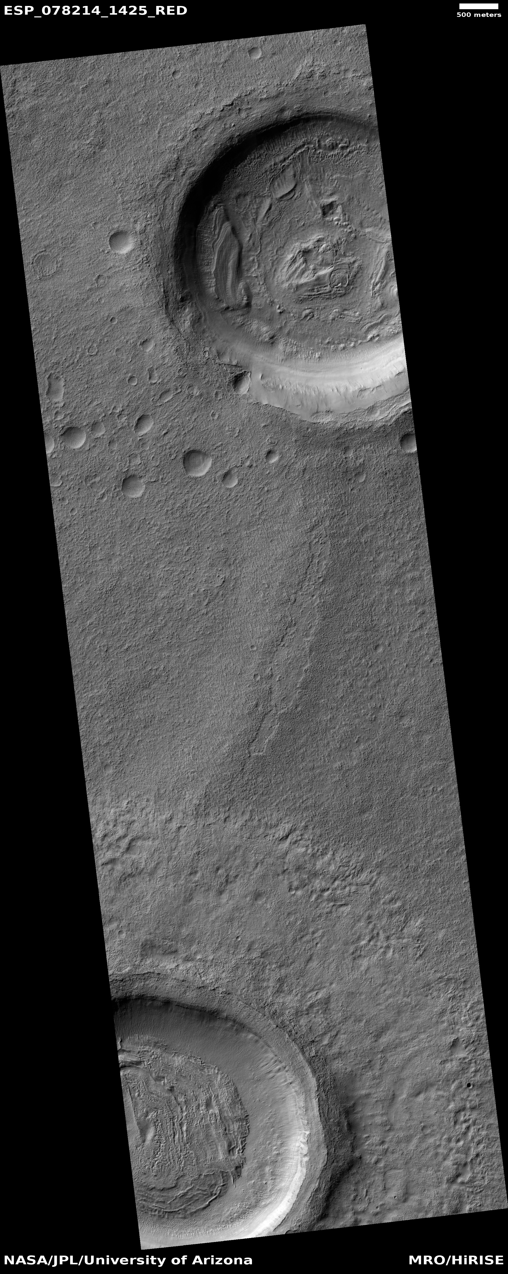
Cool image time! The picture to the right, rotated, cropped, reduced, and sharpened to post here, was taken on April 3, 2023 by the high resolution camera on Mars Reconnaissance Orbiter (MRO). It focuses on a small crater in the center of 265-mile-wide Greeley Crater, named in 2015 after the late Ron Greeley, who had been involved in almost every planetary mission from the 1960s until his passing in 2011.
Greeley Crater is intriguing because of its age, estimated to be about four billion years old, as indicated by crater counts and the crater’s heavily eroded condition.
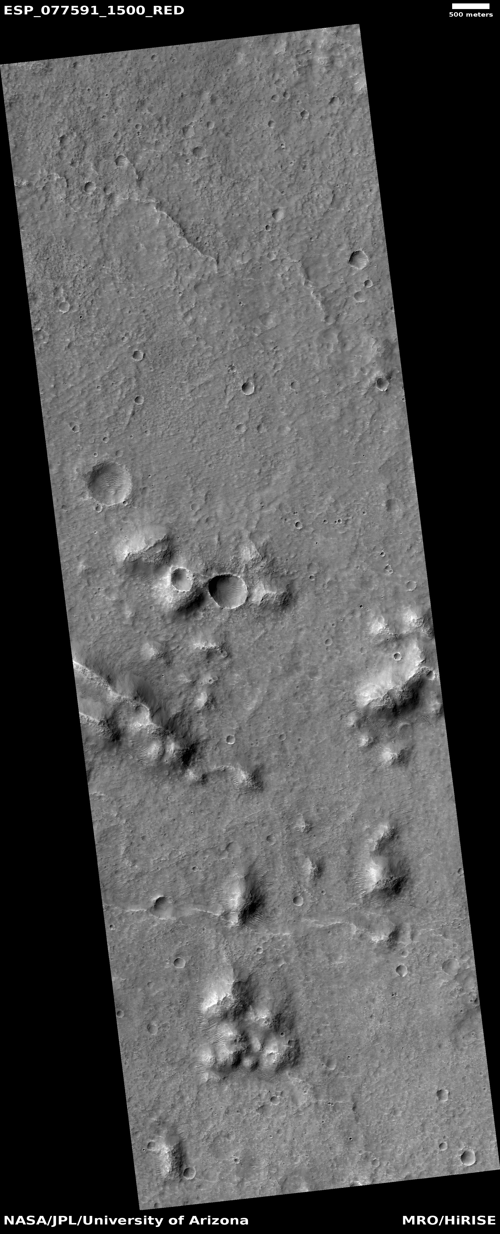
This ancient crater, which has already been heavily eroded and filled with sediment, is difficult to make out against the Martian landscape due to its relatively shallow depth of only 1.5 kilometres – indeed, the crater rim has disappeared altogether in places.
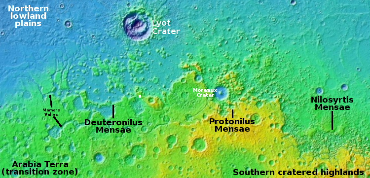
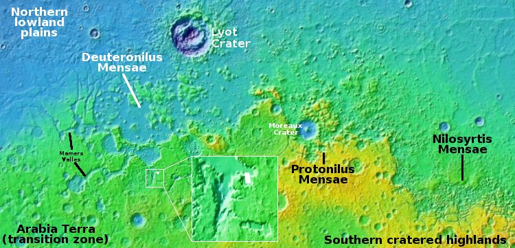
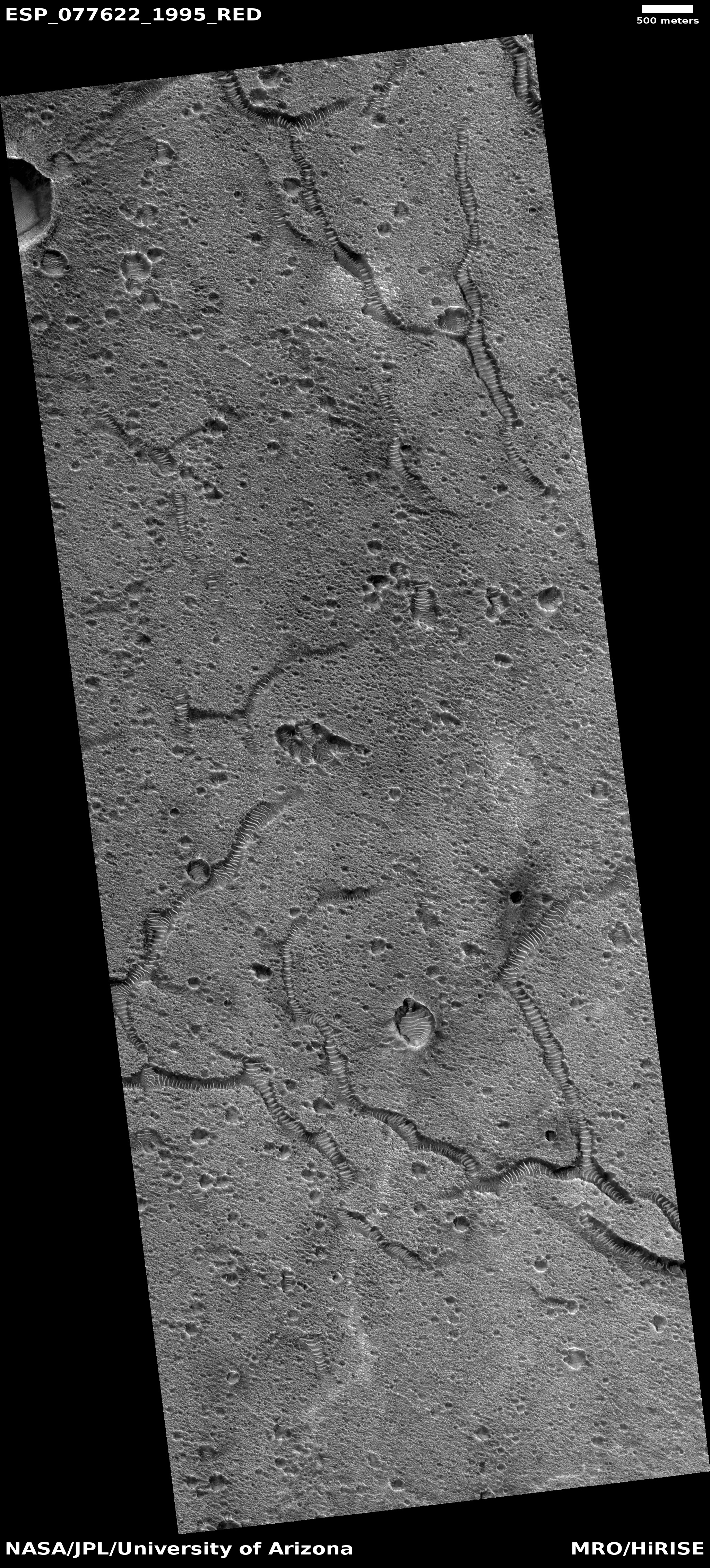
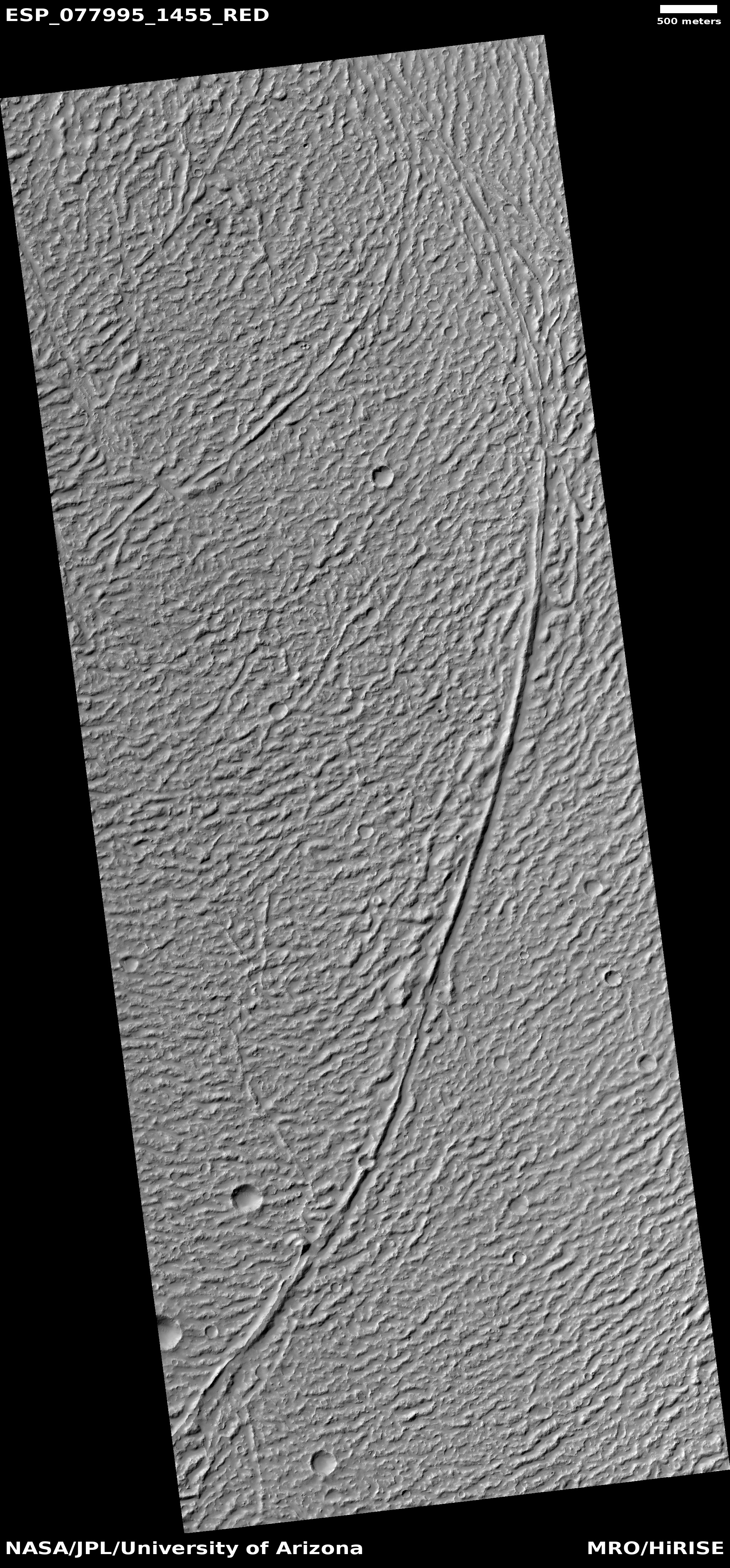
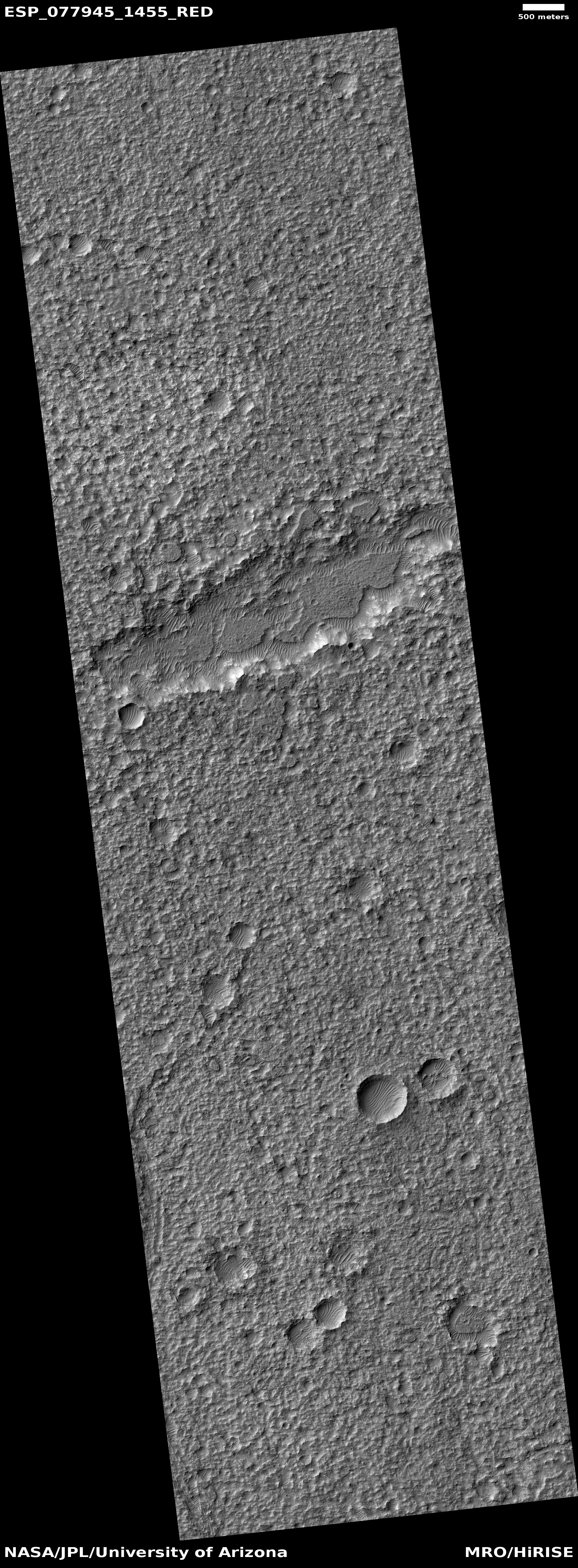
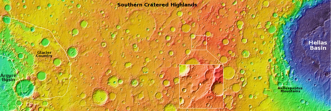
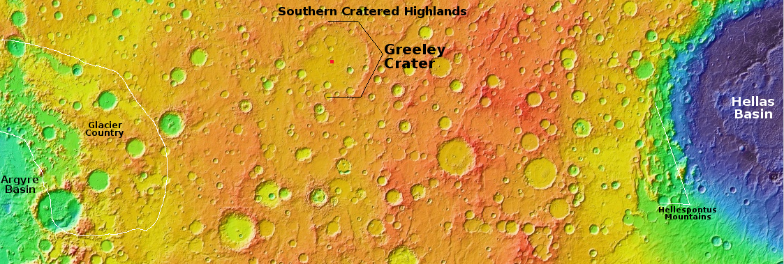
Greeley is also intriguing by its location in the southern mid-latitudes. On the overview map above the red dot inside Greeley marks the location of today’s picture. This is a region with lots of evidence of ice and glacial features inside craters. The picture shows a small two-mile-wide crater about 500 feet deep inside Greeley. Both inside and outside the crater the surface suggests ice, either in glacial formations on the crater floor or as a soft flat plain that allows impacts to sink in without producing a rim or much ejecta.
While research has suggested a large number of glaciers in the outlined region on the western edge of the overview map, the evidence continues to build that near-surface ice exists everywhere throughout the mid-latitudes of Mars.
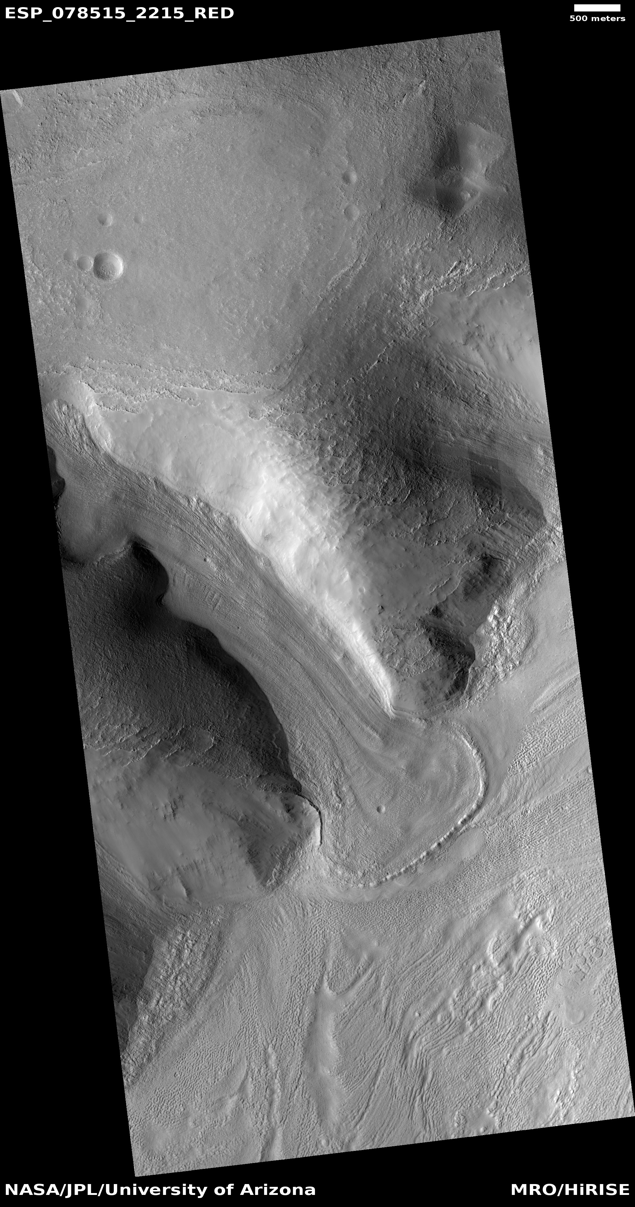
Click for original image.
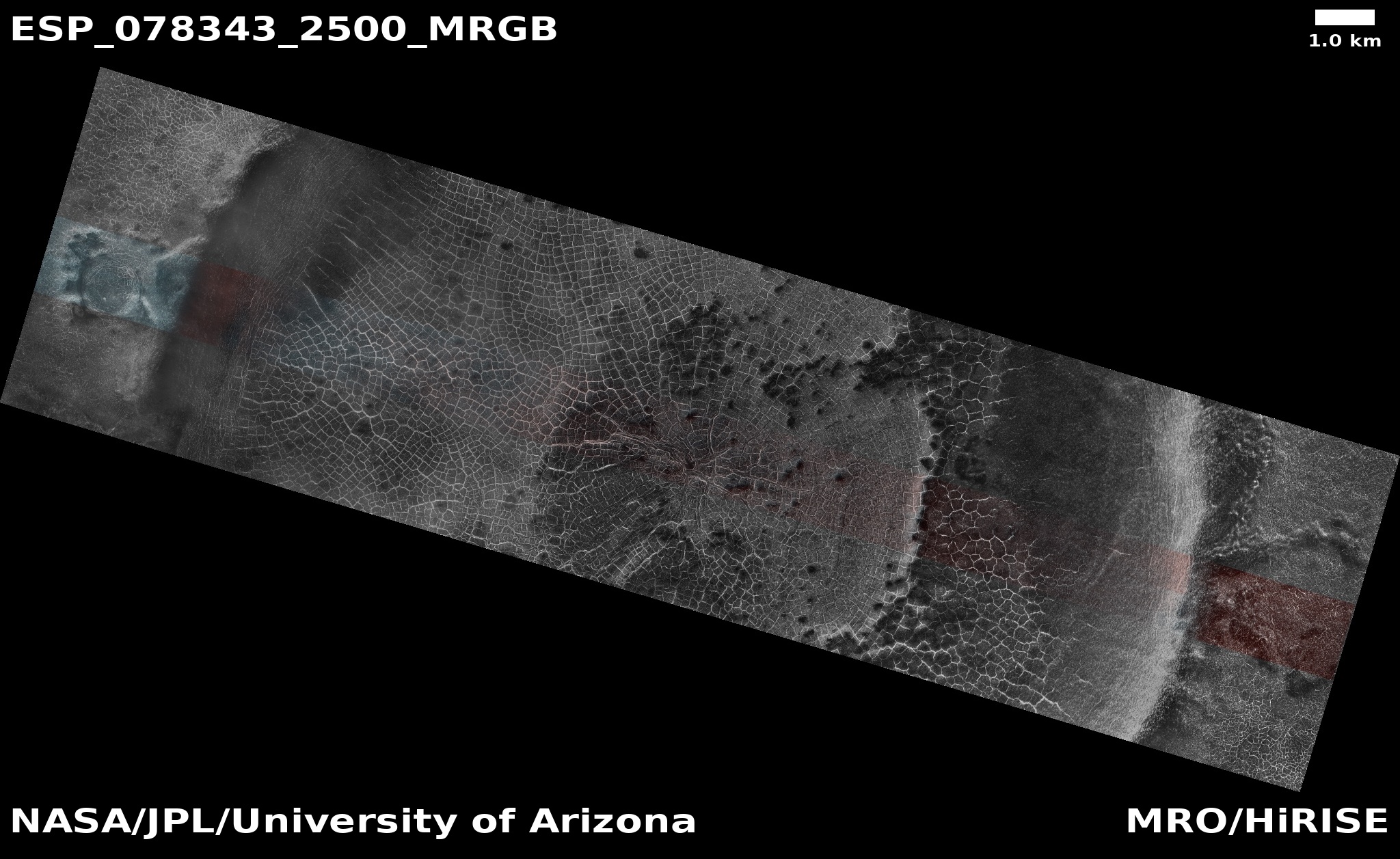
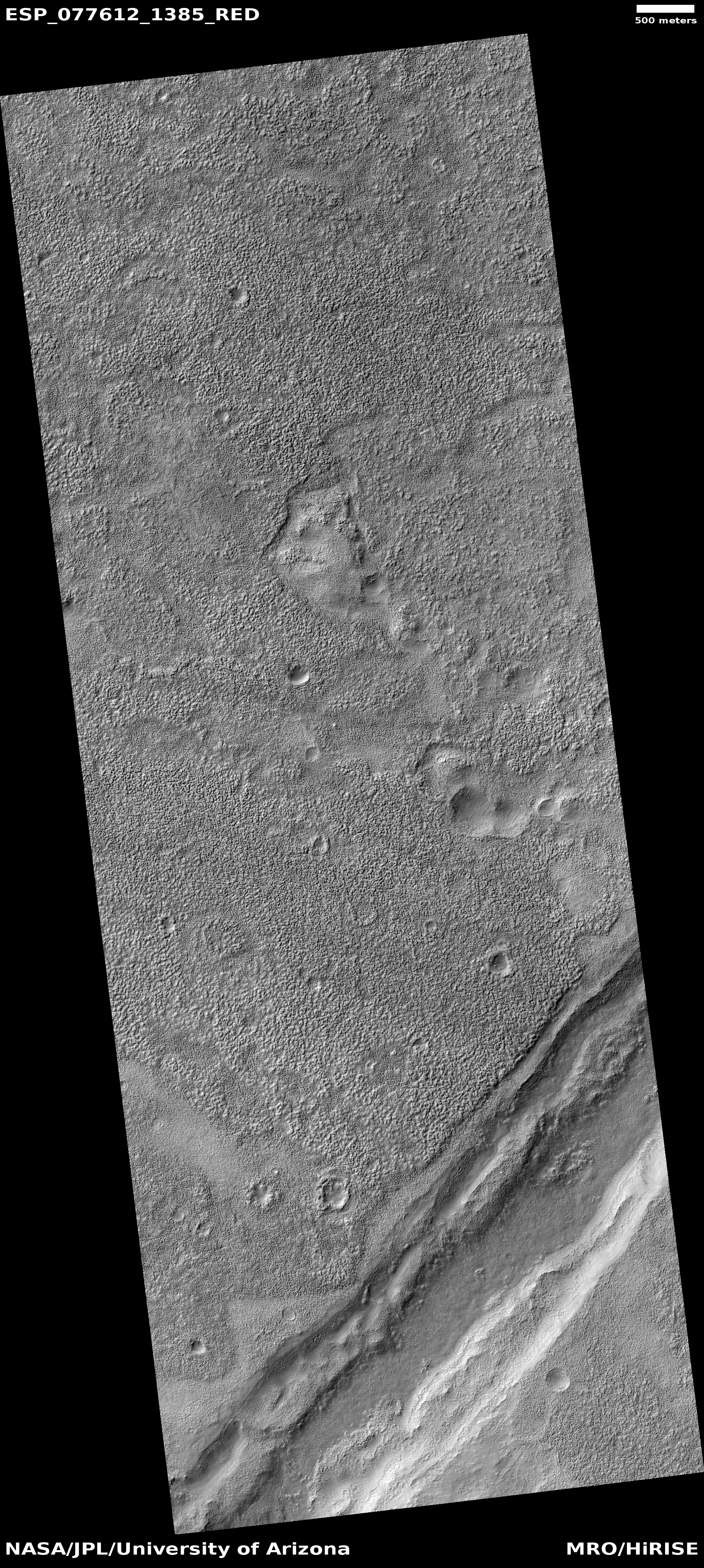
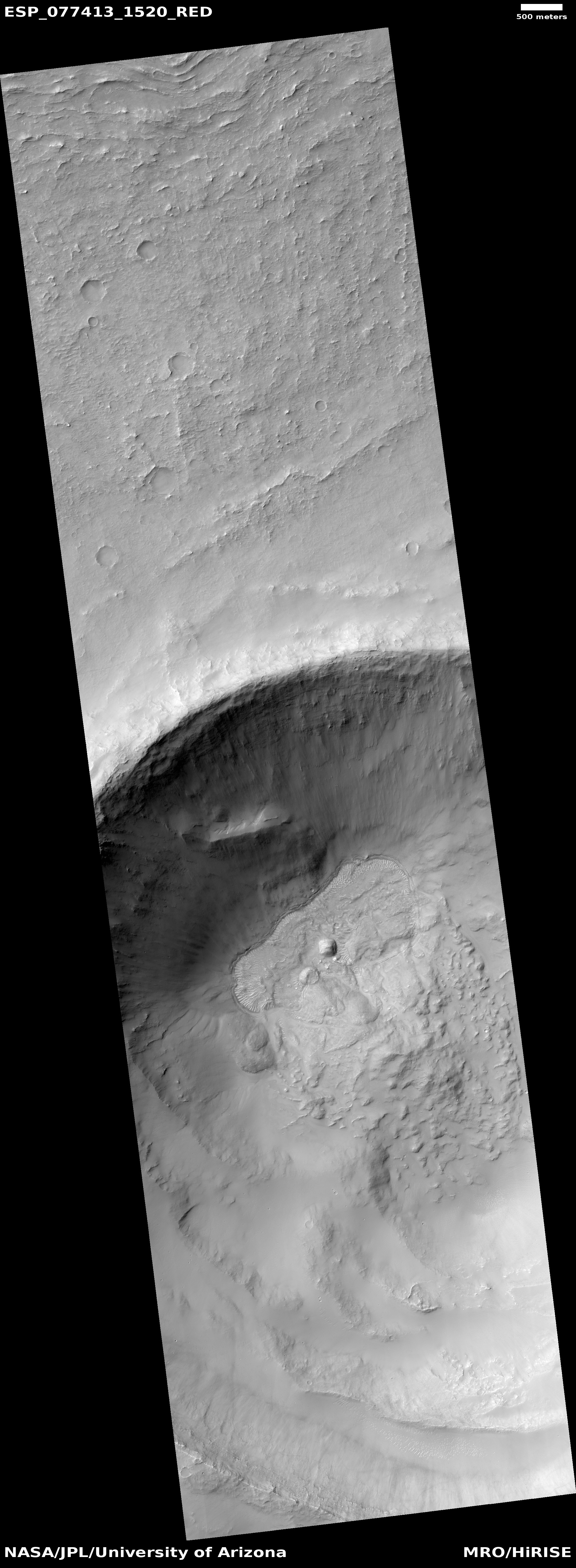
Cool image time! The picture to the right, rotated, cropped, reduced, and sharpened to post here, was taken on April 3, 2023 by the high resolution camera on Mars Reconnaissance Orbiter (MRO). It focuses on a small crater in the center of 265-mile-wide Greeley Crater, named in 2015 after the late Ron Greeley, who had been involved in almost every planetary mission from the 1960s until his passing in 2011.
Greeley Crater is intriguing because of its age, estimated to be about four billion years old, as indicated by crater counts and the crater’s heavily eroded condition.
This ancient crater, which has already been heavily eroded and filled with sediment, is difficult to make out against the Martian landscape due to its relatively shallow depth of only 1.5 kilometres – indeed, the crater rim has disappeared altogether in places.
Greeley is also intriguing by its location in the southern mid-latitudes. On the overview map above the red dot inside Greeley marks the location of today’s picture. This is a region with lots of evidence of ice and glacial features inside craters. The picture shows a small two-mile-wide crater about 500 feet deep inside Greeley. Both inside and outside the crater the surface suggests ice, either in glacial formations on the crater floor or as a soft flat plain that allows impacts to sink in without producing a rim or much ejecta.
While research has suggested a large number of glaciers in the outlined region on the western edge of the overview map, the evidence continues to build that near-surface ice exists everywhere throughout the mid-latitudes of Mars.