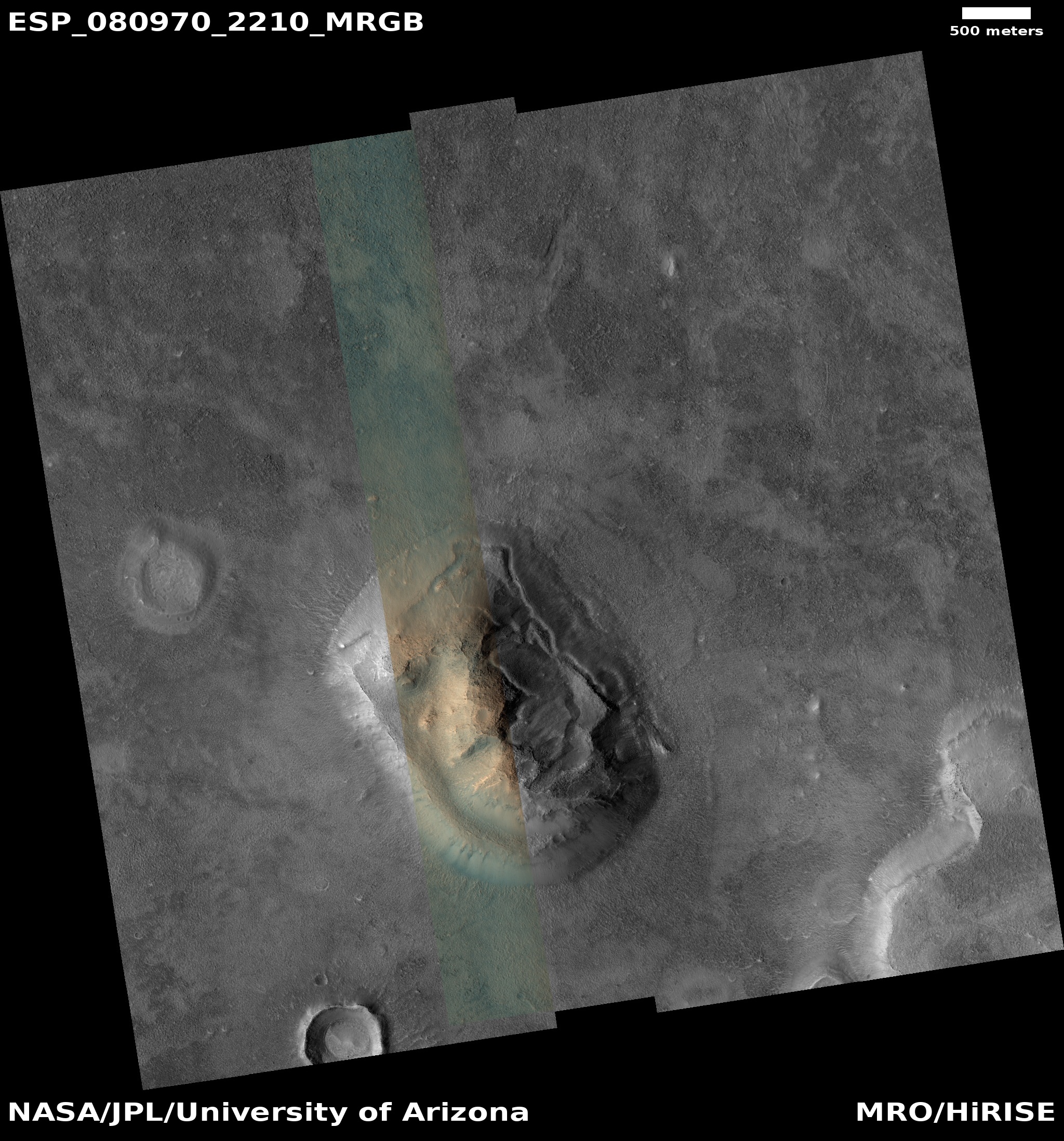
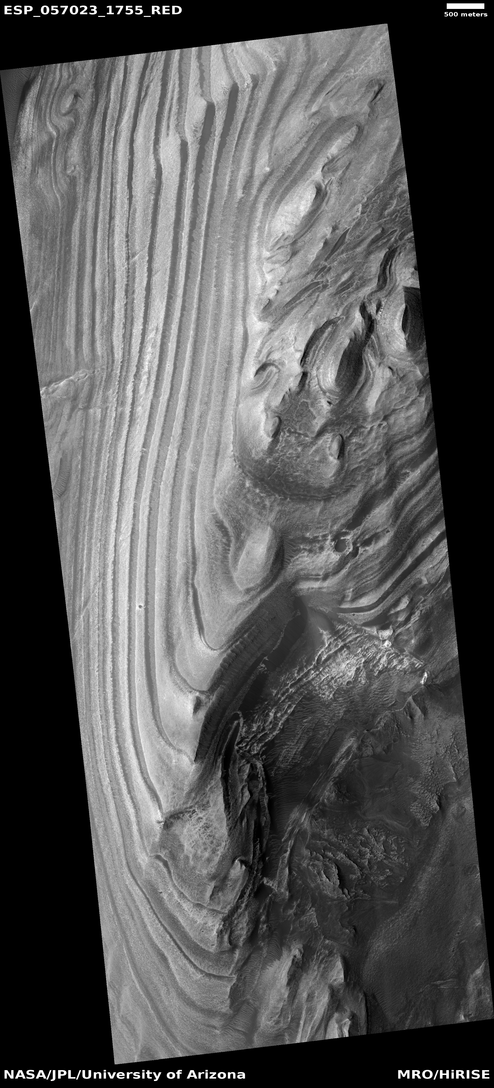
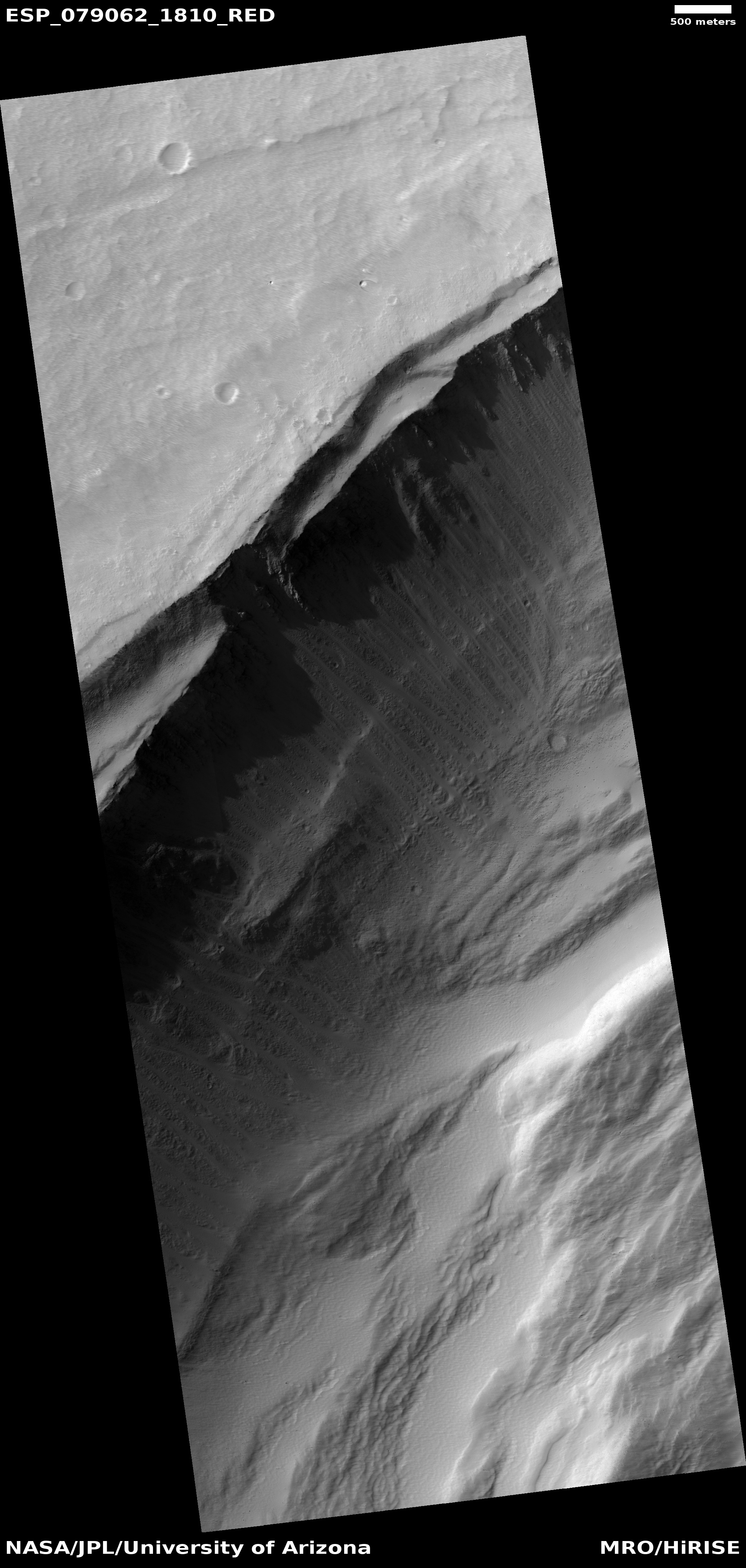
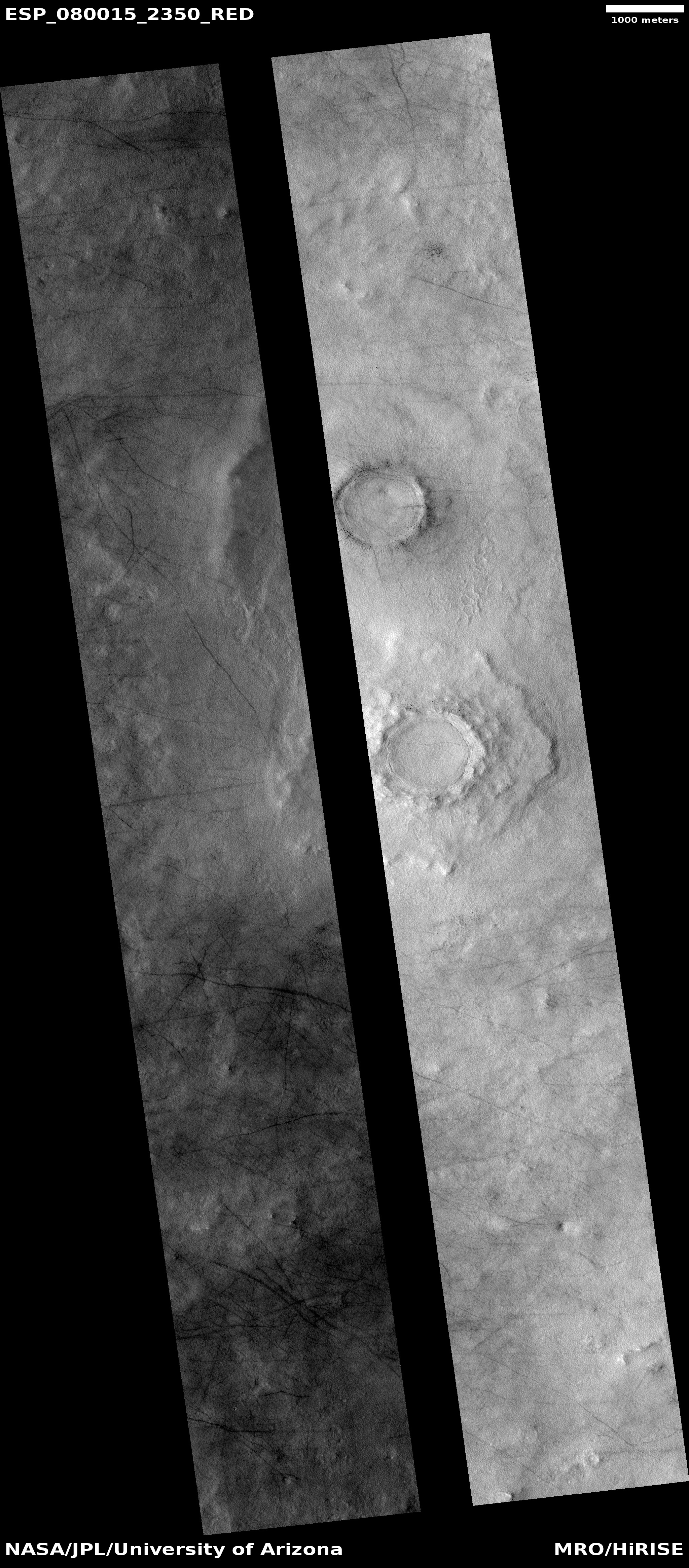
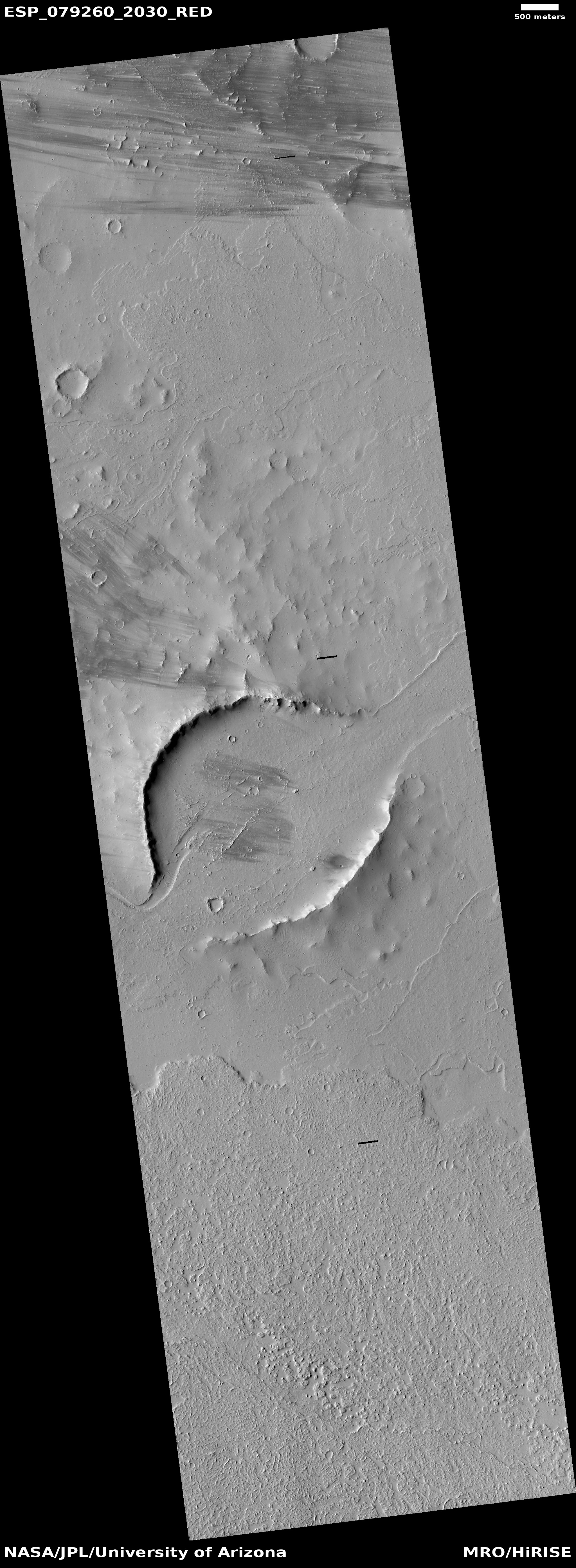
Big Martian gullies partly filled with glacial material
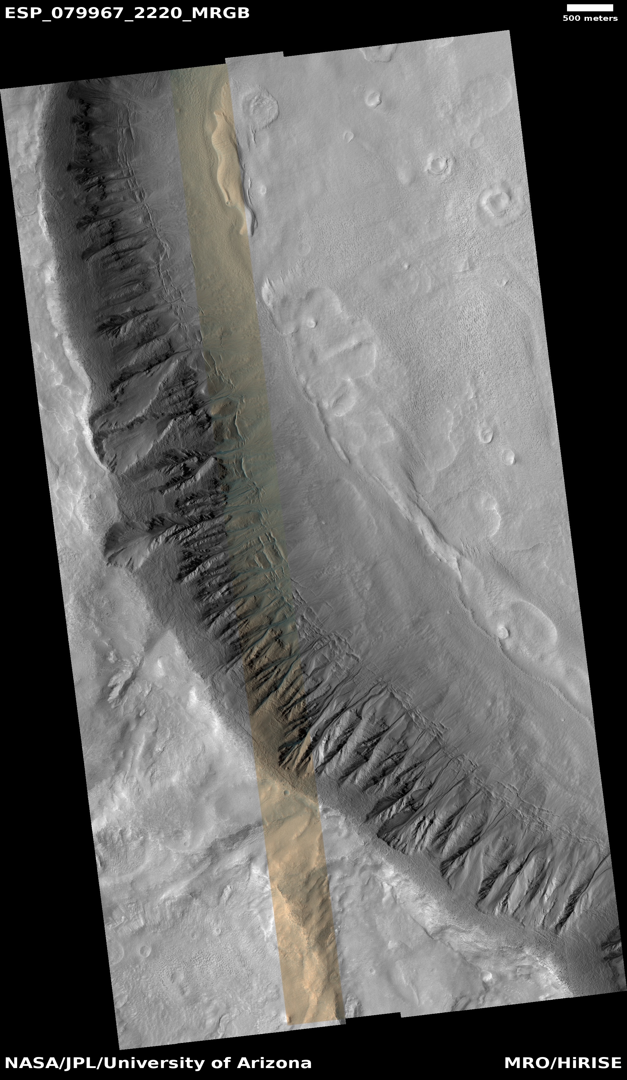
Cool image time! The picture to the right, cropped, reduced, and sharpened to post here, was taken on August 18, 2023 by the high resolution camera on Mars Reconnaissance Orbiter (MRO). It shows what the scientists dub as “large gullies with infilled alcoves.”
Gullies on Mars were one of the first discoveries by orbiters of small-scalle potential water-caused features on the Red Planet. The favorite explanation for their formation today involves the seasonal freeze-thaw cycle, combined with the deposition of ice and dry ice frost in the winter. When that ice and dry ice sublimates away in the spring it causes collapse and erosion, widening the gullies.
These gullies also exhibit evidence that underground and glacial ice might contribute as well. The material in the largest gullies looks like a mixture of glacial material and dust and debris. It could also be that there is ice impregnated in the ground, which can cause large collapses when it sublimates away.
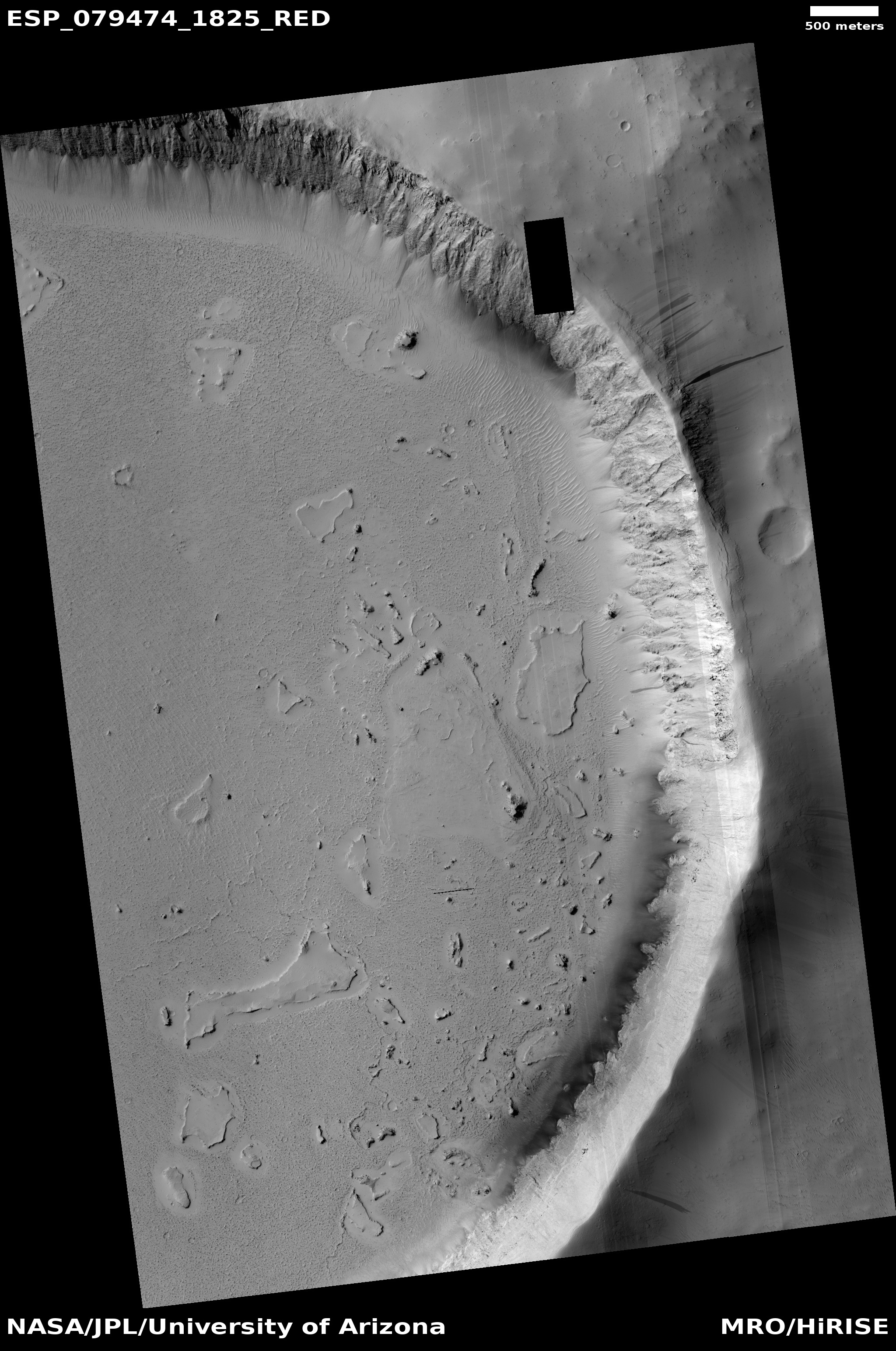
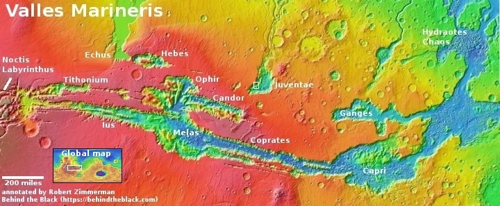
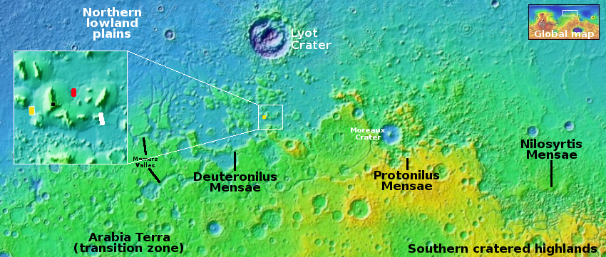
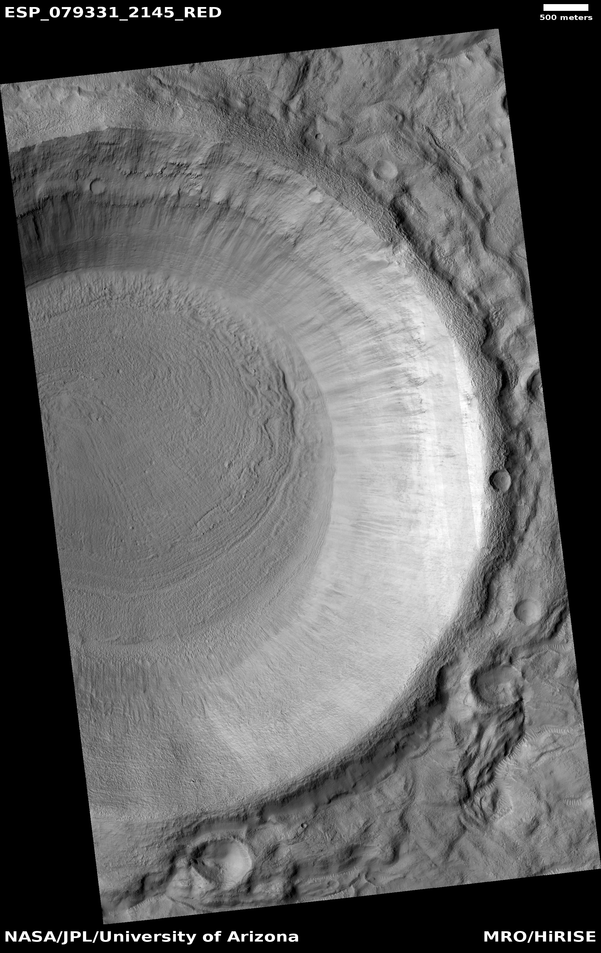
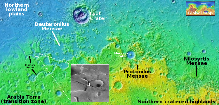
The white rectangle on the overview map and inset above marks the location of this picture, on the western rim of a 13-mile-wide unnamed crater inside the western portion of the 2,000-mile-long mid-latitude strip on Mars I dub glacier country, since every image from orbit shows evidence of glaciers.
This picture is no different, as the horizontal cracks at the base of the crater rim suggests the glacier that fills the crater floor is being pulled apart by gravity at its edges. The elevation drop from the top of the rim to the floor is about 3,200 feet, so any ice on that slope will definitely be stressed by gravity. Such cracks are therefore not surprising.