
A spot where the surface of Mars cracked
Click for original image.
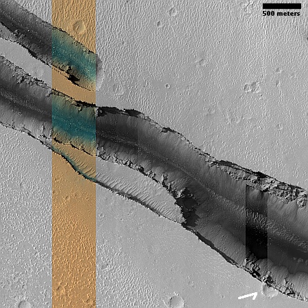
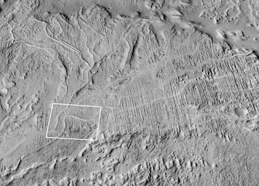
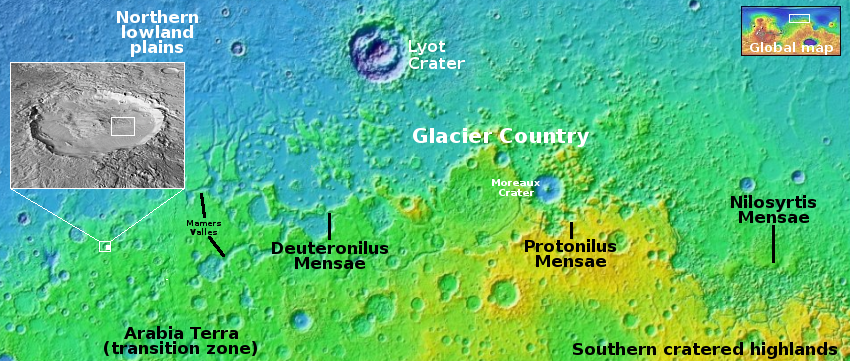
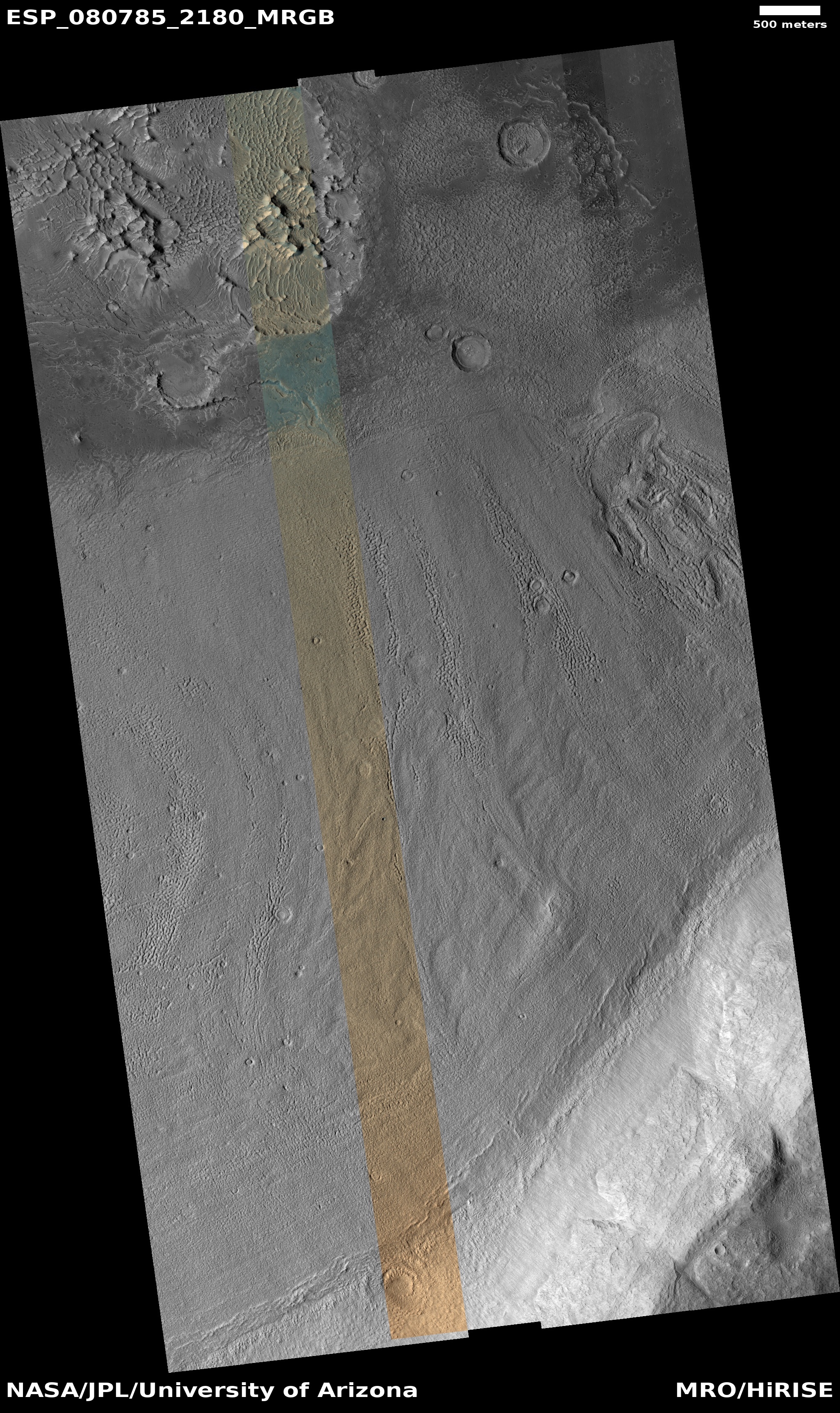
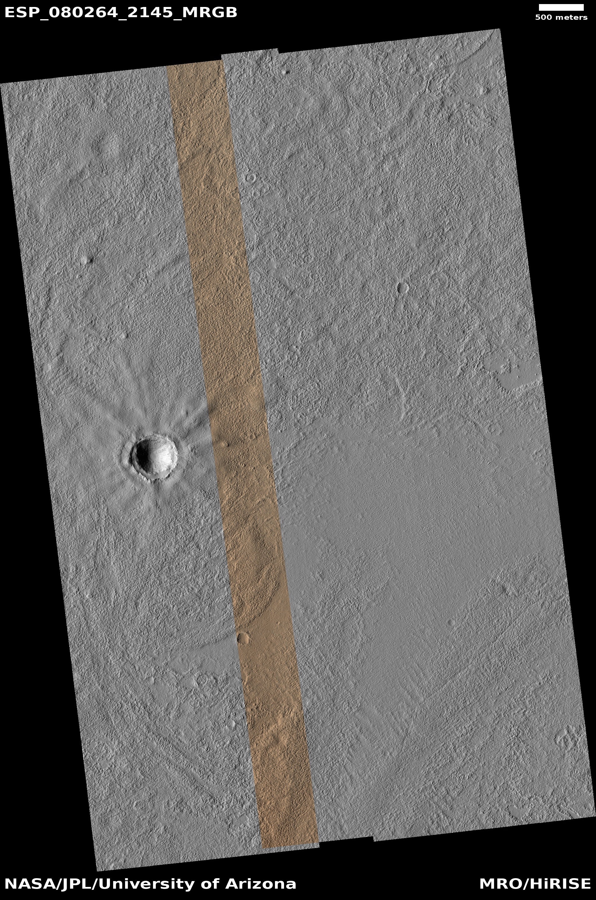
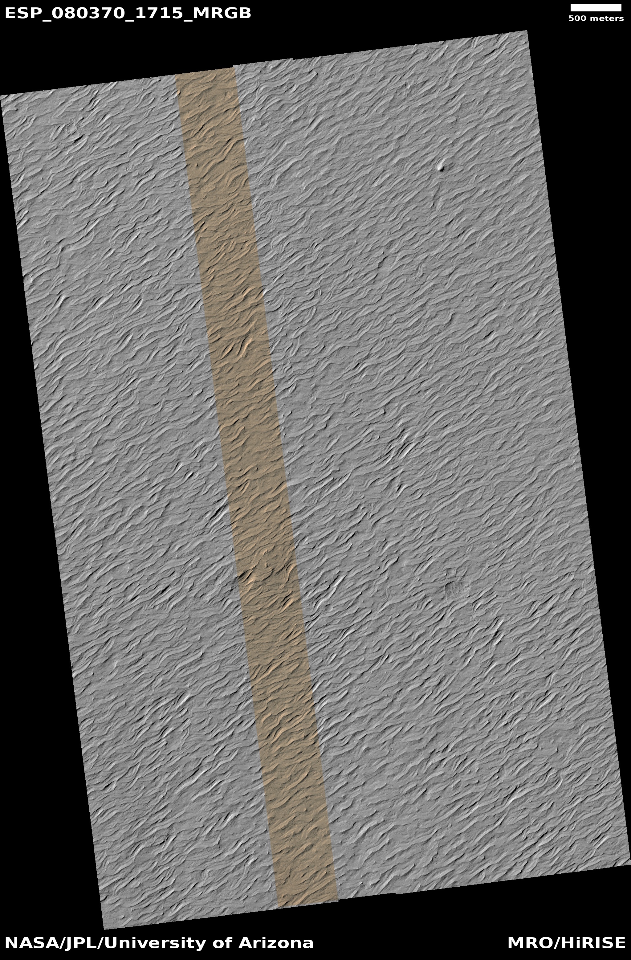
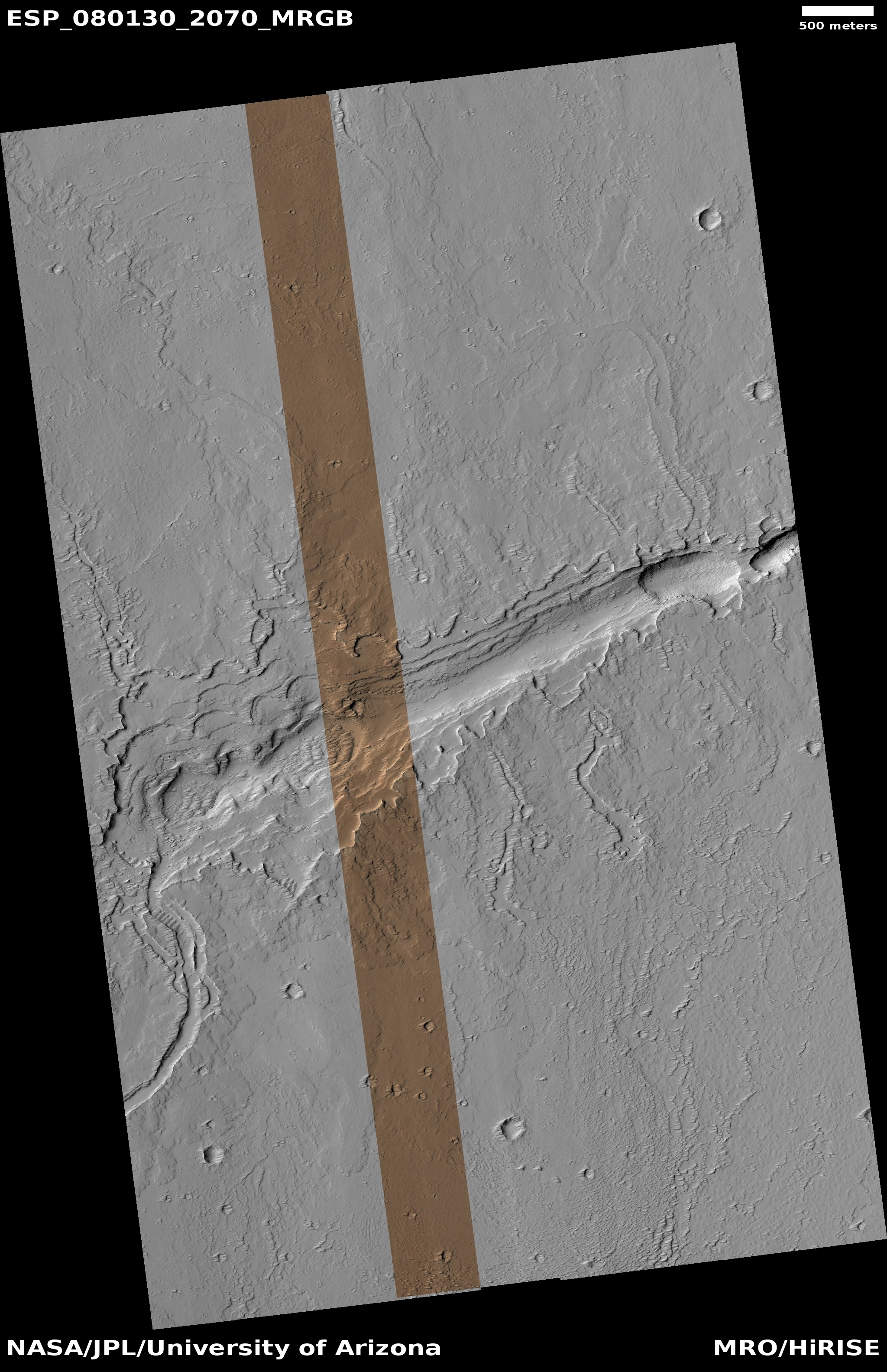
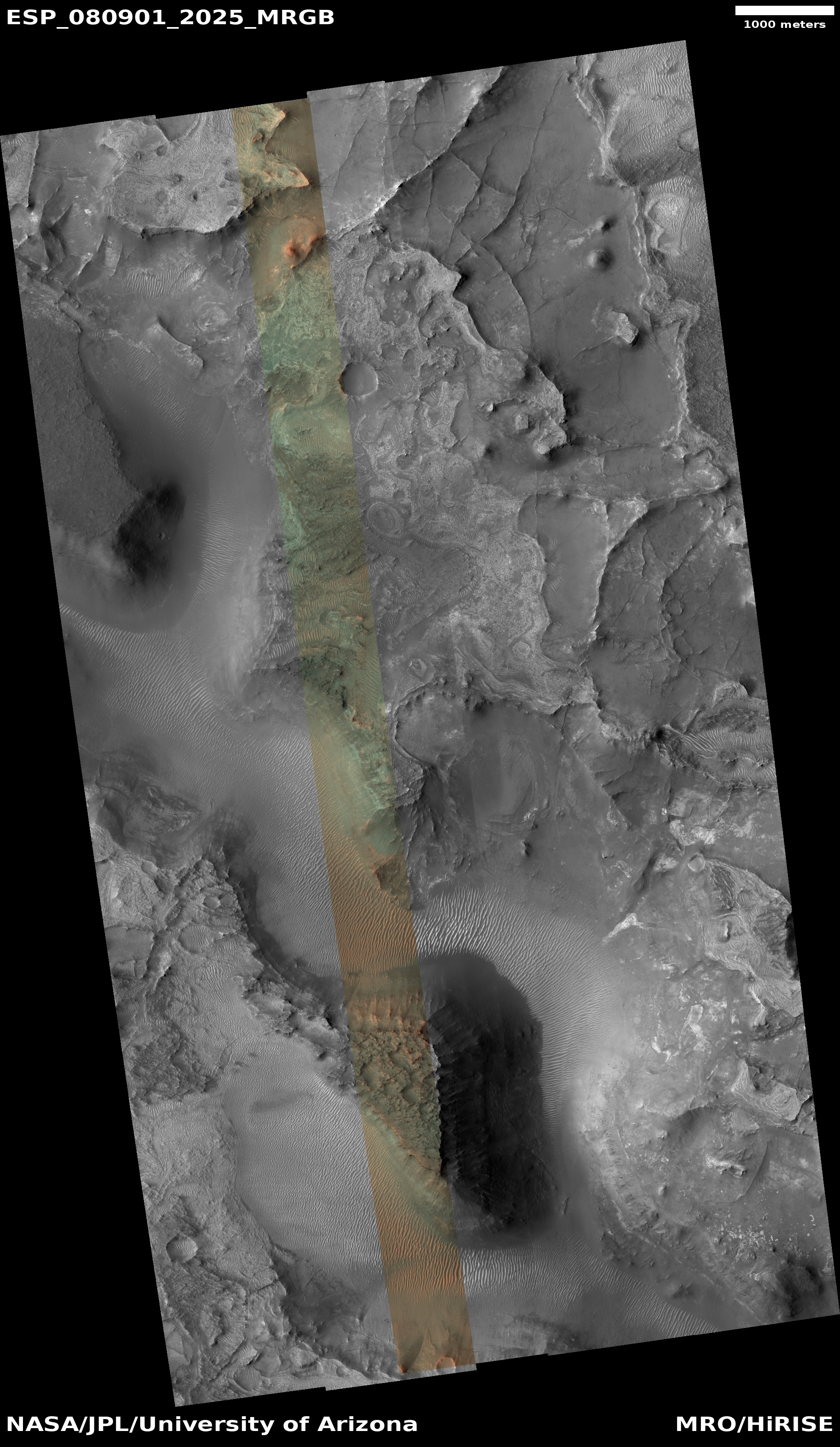
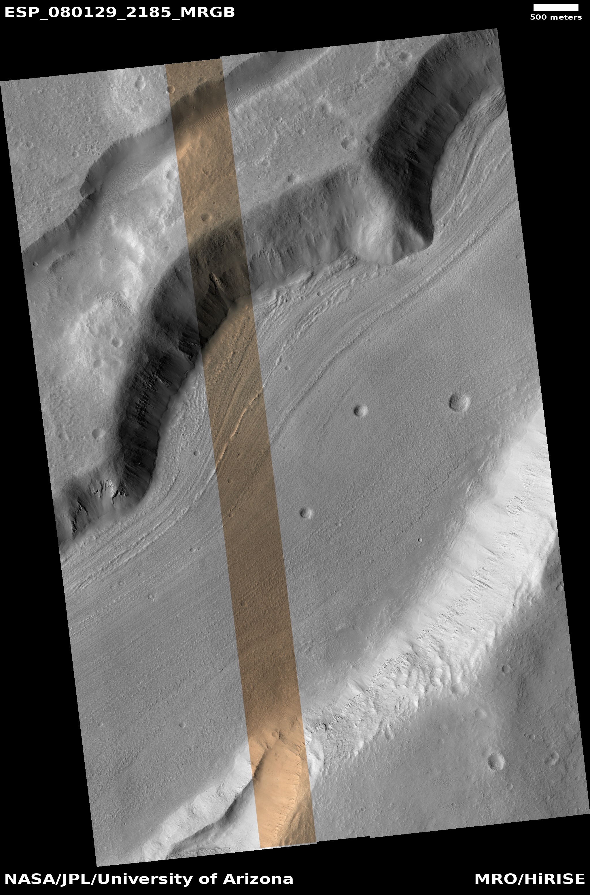
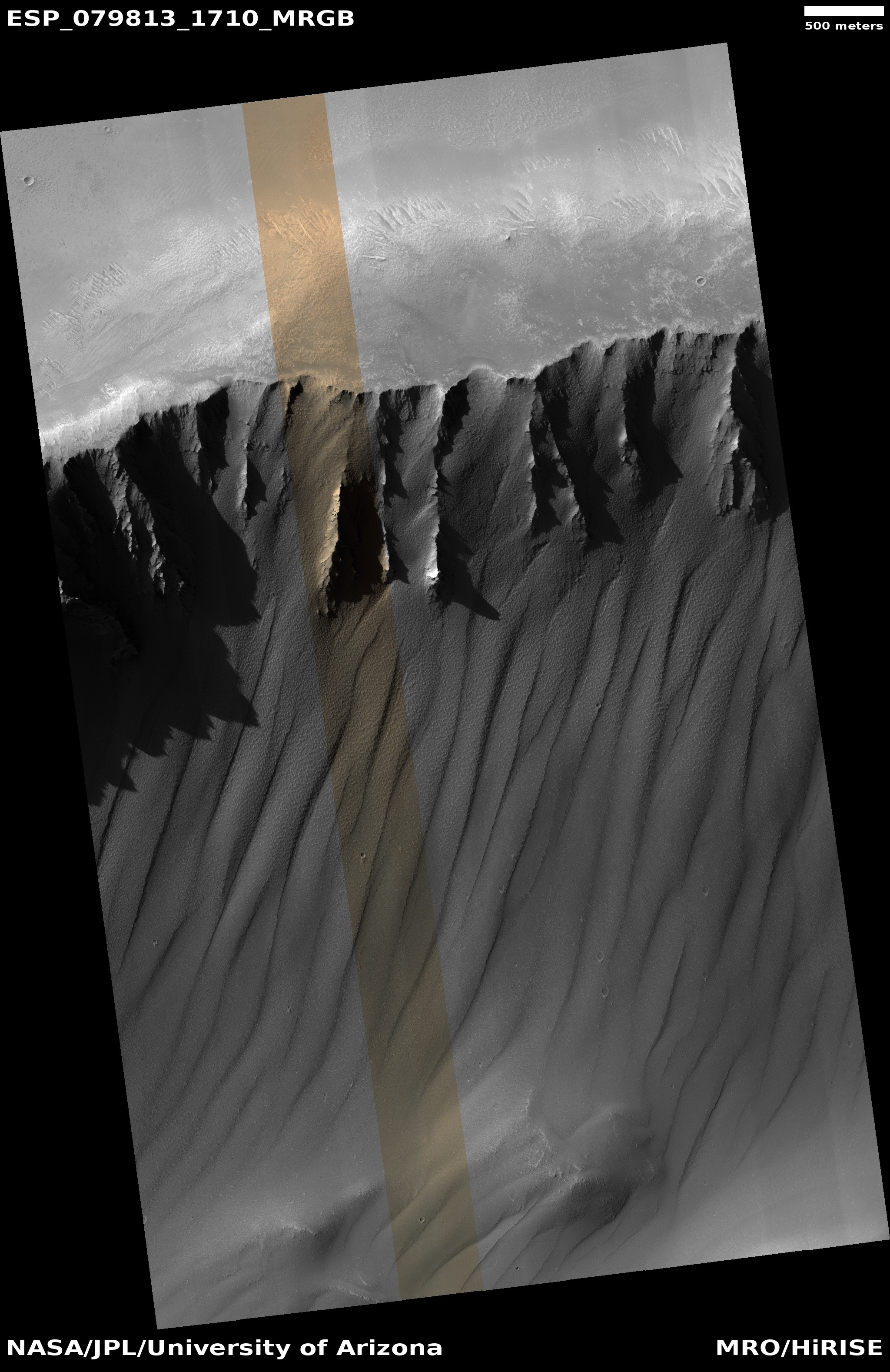
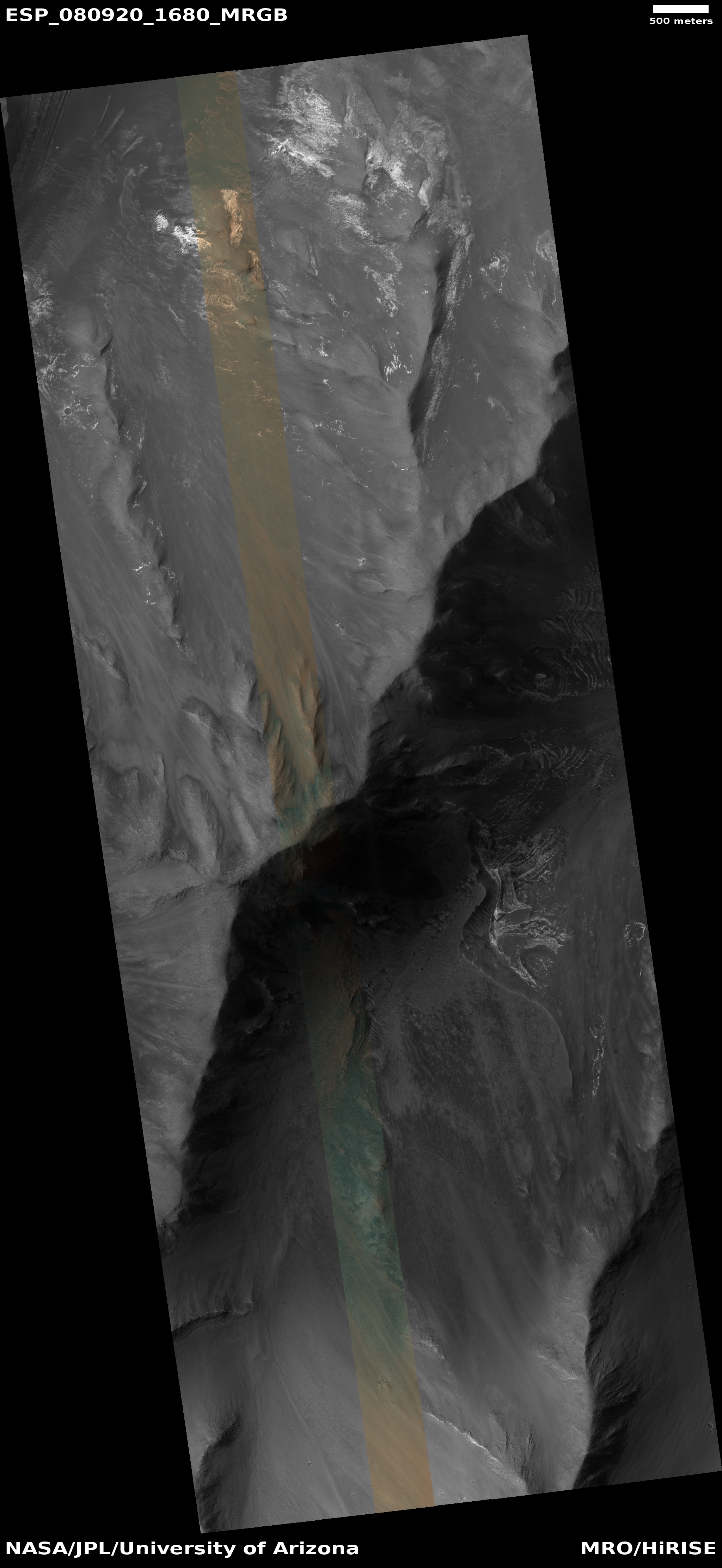
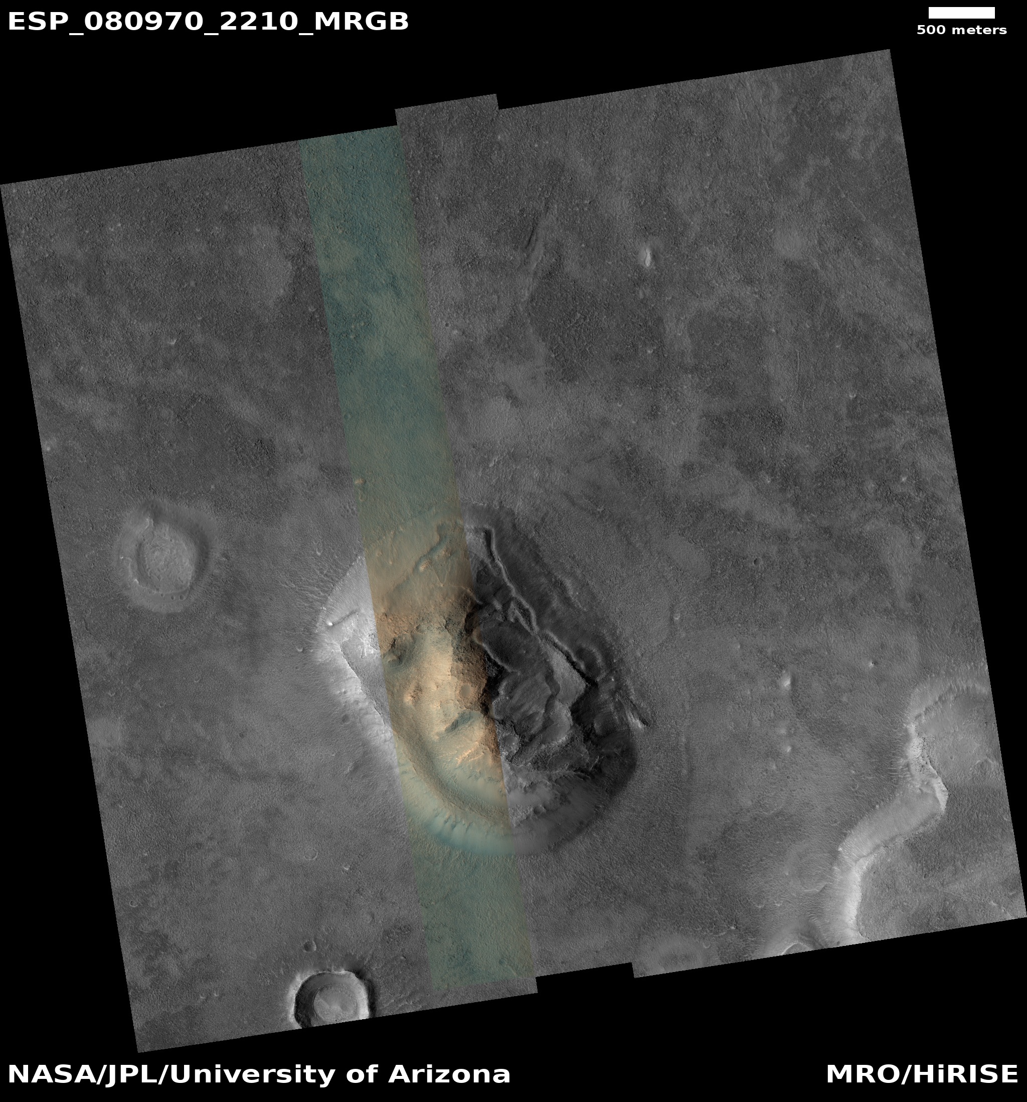
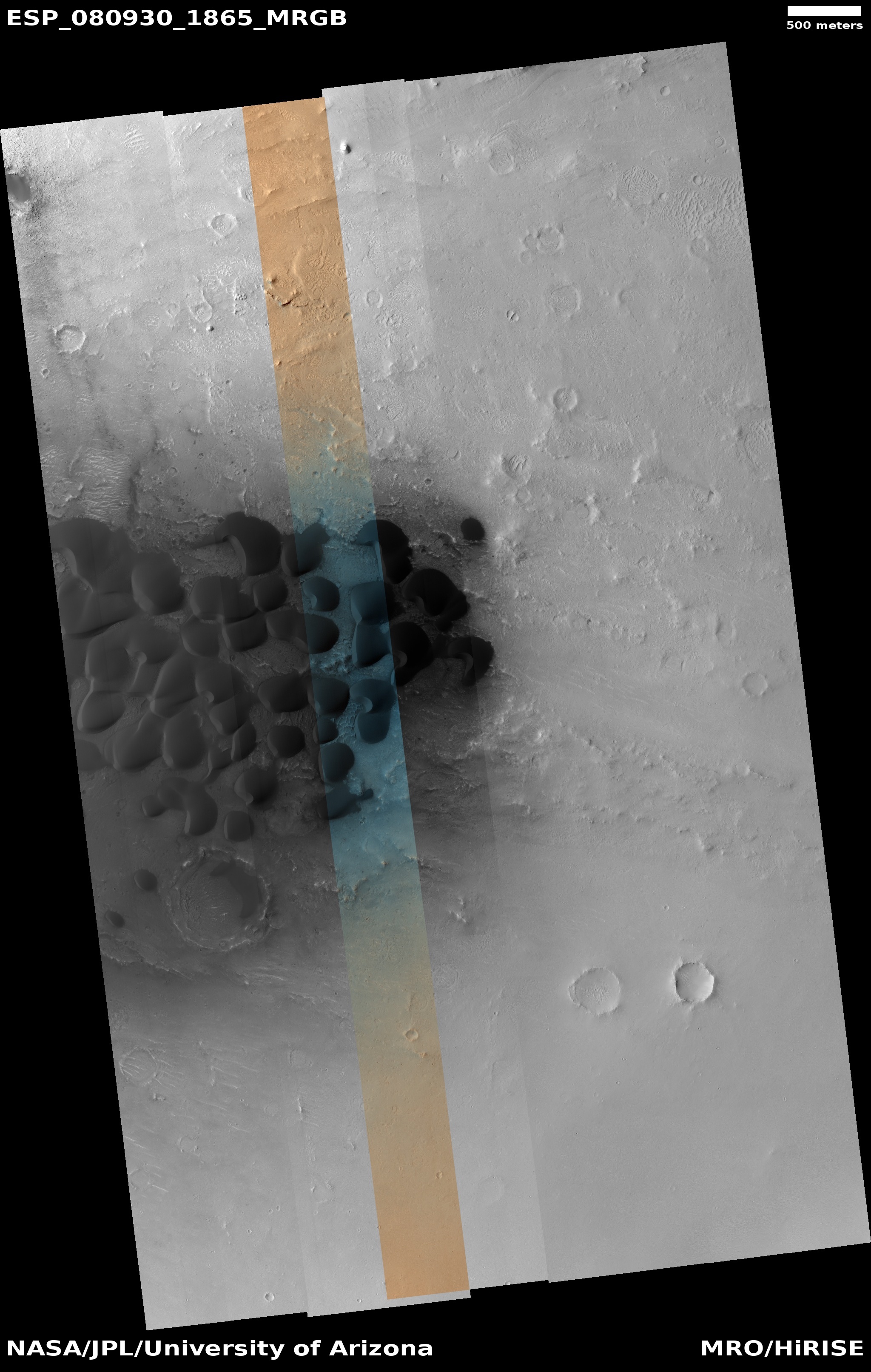
Cool image time! The picture to the right, rotated, cropped, reduced, and sharpened to post here, was taken on September 14, 2023 by the high resolution camera on Mars Reconnaissance Orbiter (MRO). It shows a small section of the Cerberus Fossae cracks, a parallel series of cracks that stretch more than 700 miles across the volcanic plains of Mars.
These cracks formed when the ground spread apart, creating a void in which the surface collapsed. You can see this process illustrated quite clearly by the crater in the lower right, as indicated by the arrow. The crater had existed prior to the crack. When the ground split and collapsed, only the northeast quadrant of the crater was destroyed.
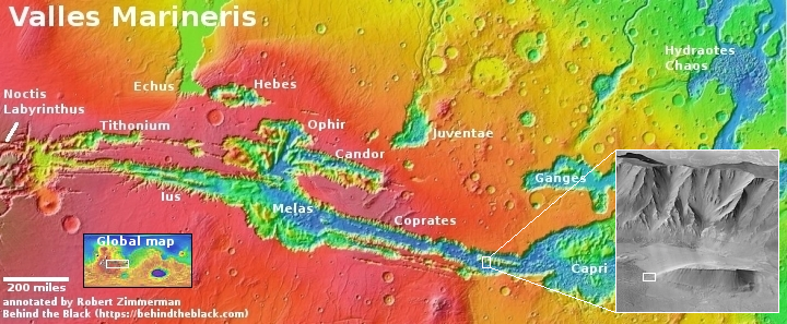
These cracks might also have been the source of Mars’ most recent large volcanic event, as shown by the overview map below.
» Read more

Click for original image.
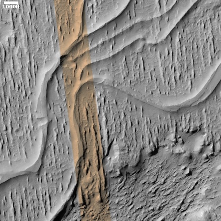
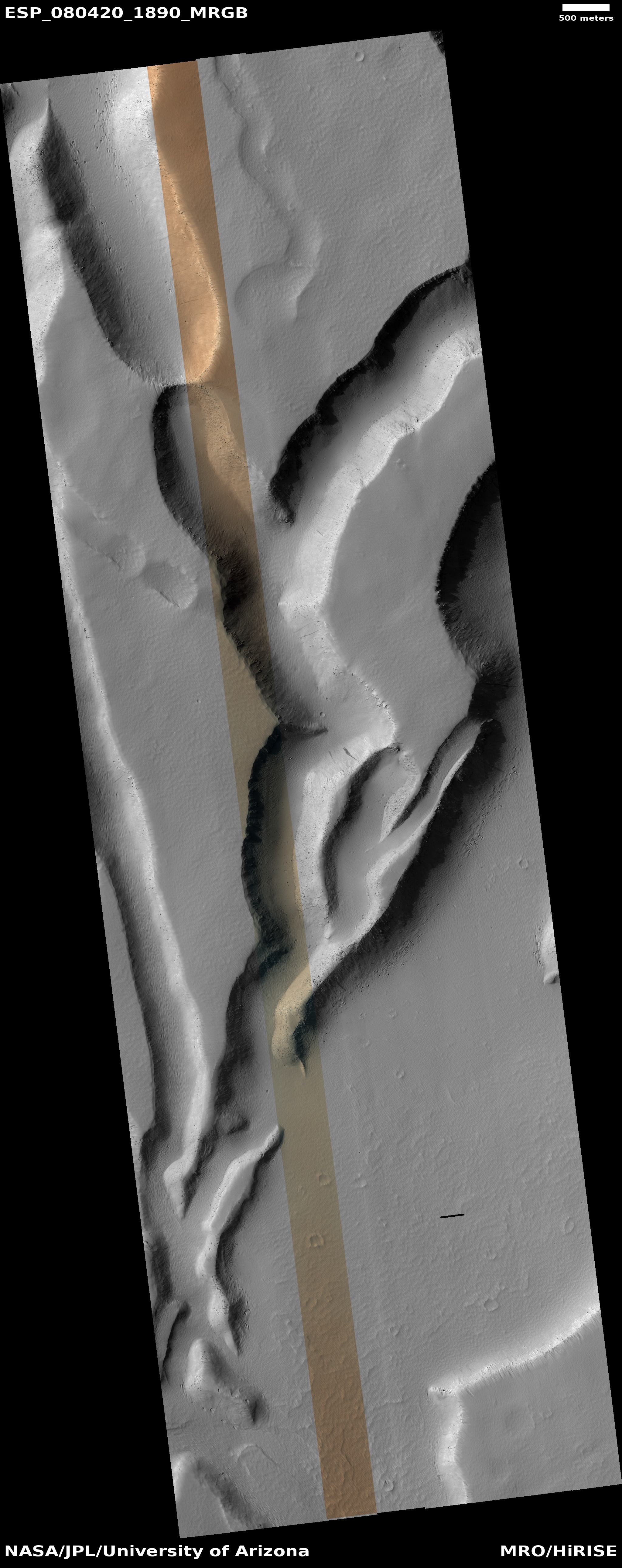
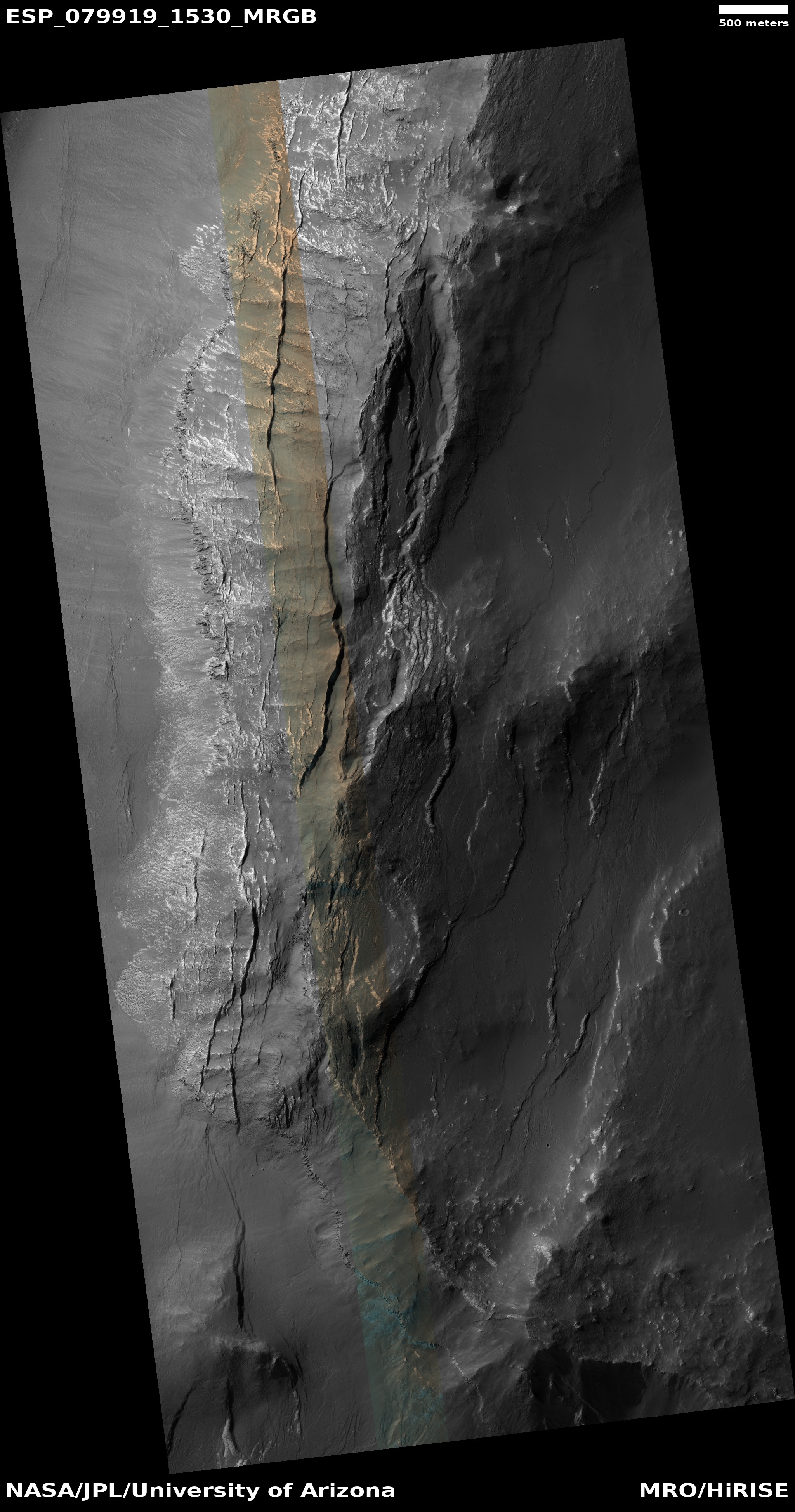
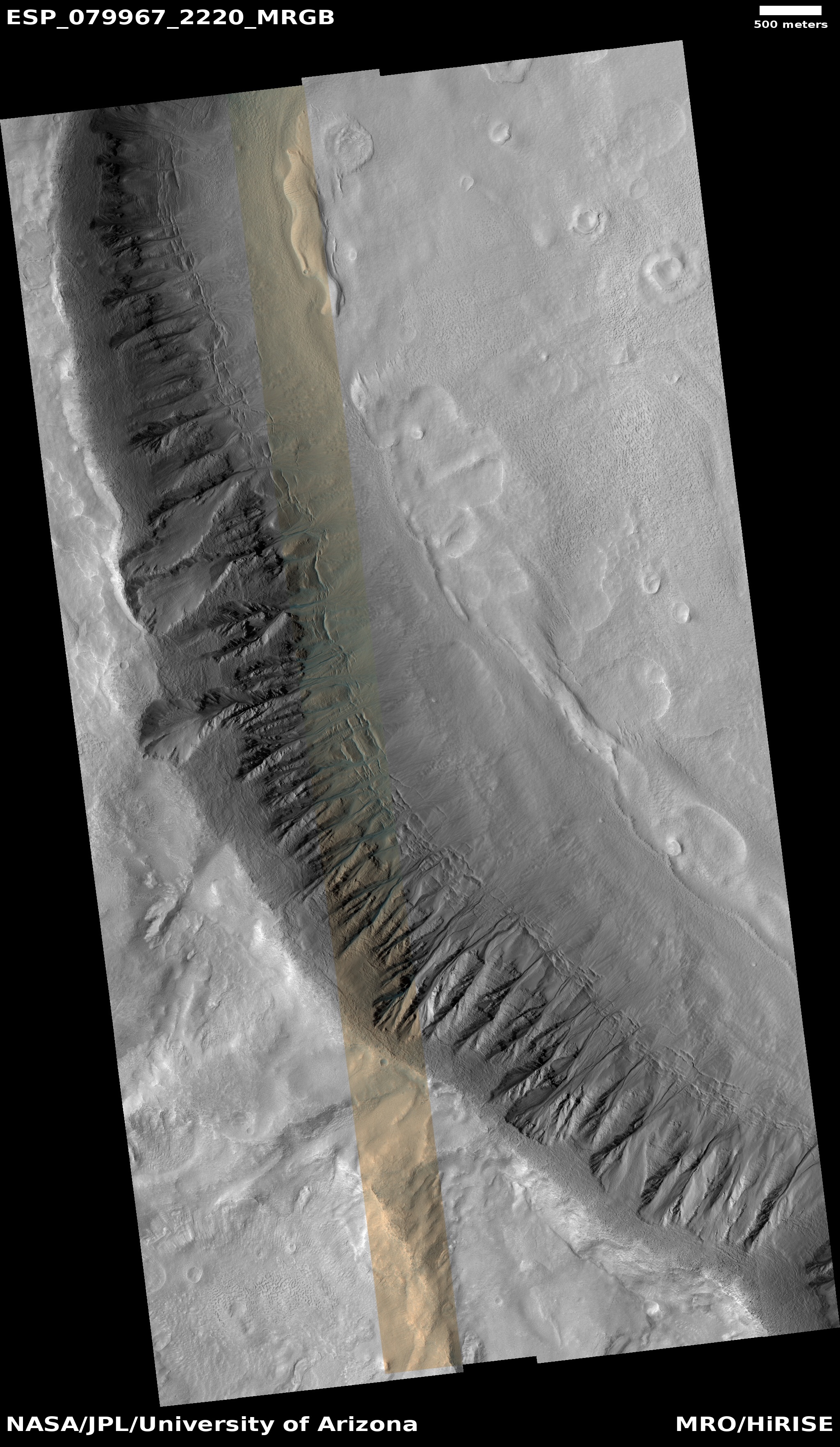
Cool image time! The picture to the right, rotated, cropped, reduced, and sharpened to post here, was taken on September 14, 2023 by the high resolution camera on Mars Reconnaissance Orbiter (MRO). It shows a small section of the Cerberus Fossae cracks, a parallel series of cracks that stretch more than 700 miles across the volcanic plains of Mars.
These cracks formed when the ground spread apart, creating a void in which the surface collapsed. You can see this process illustrated quite clearly by the crater in the lower right, as indicated by the arrow. The crater had existed prior to the crack. When the ground split and collapsed, only the northeast quadrant of the crater was destroyed.
These cracks might also have been the source of Mars’ most recent large volcanic event, as shown by the overview map below.
» Read more


