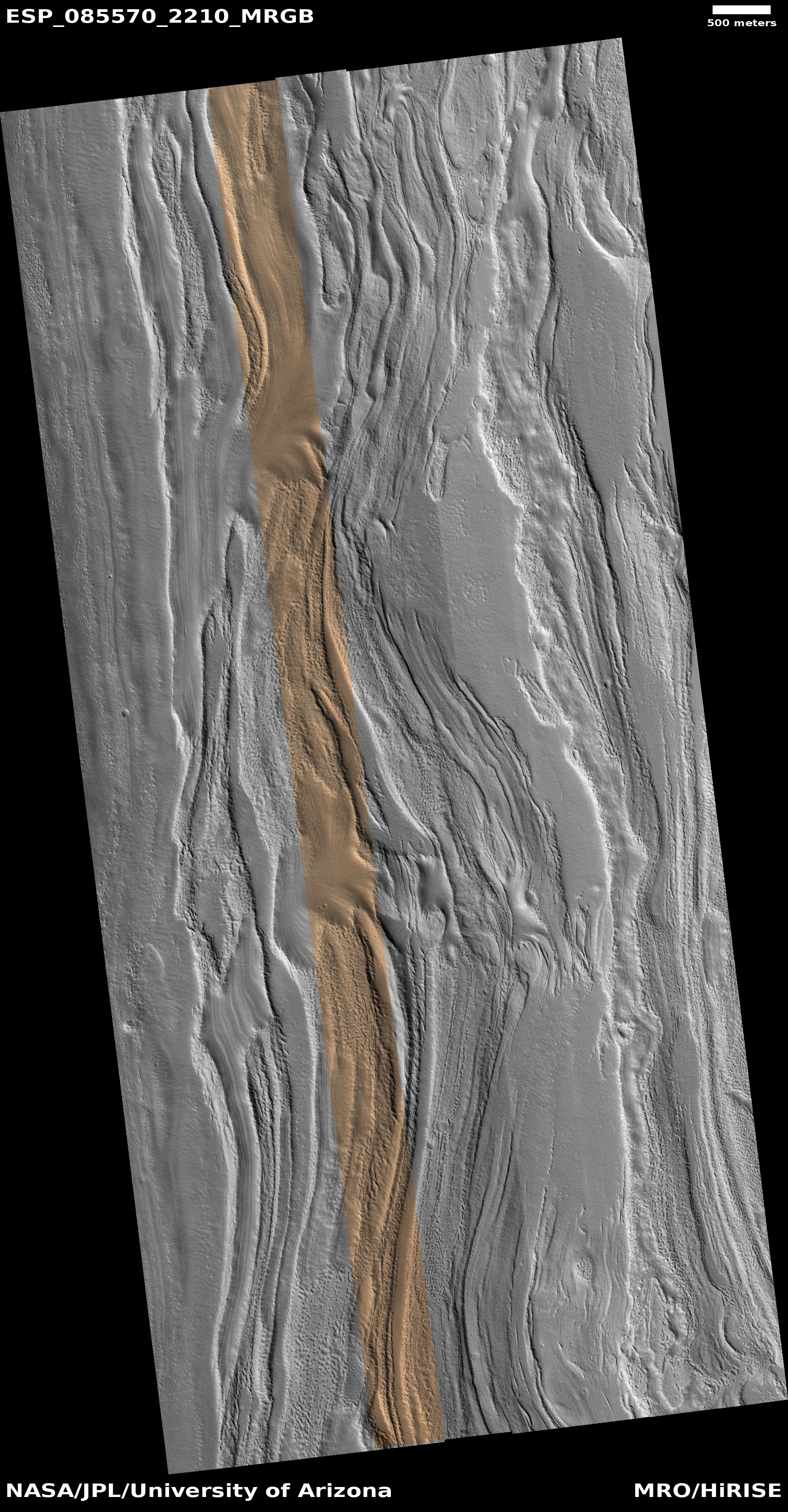
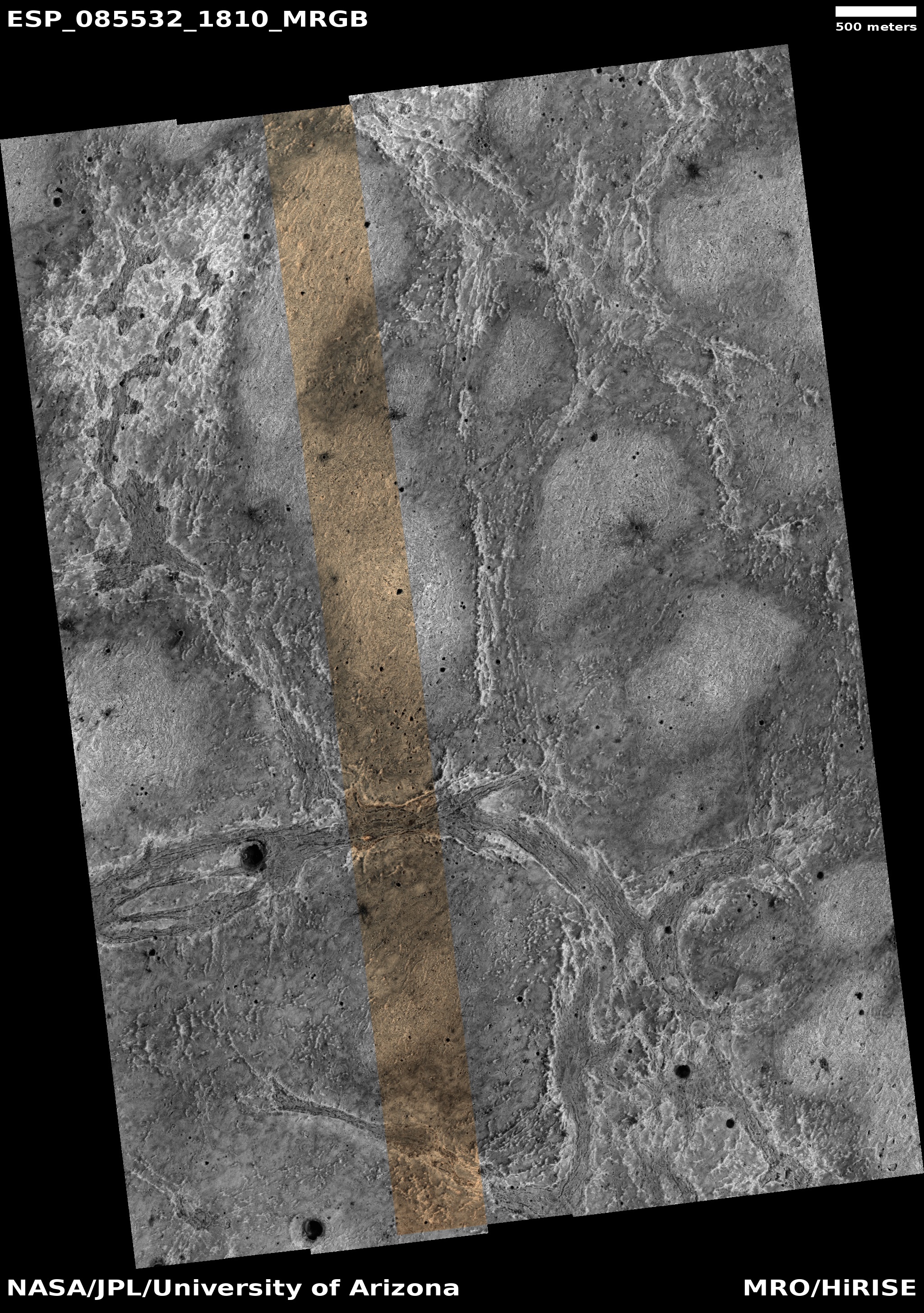
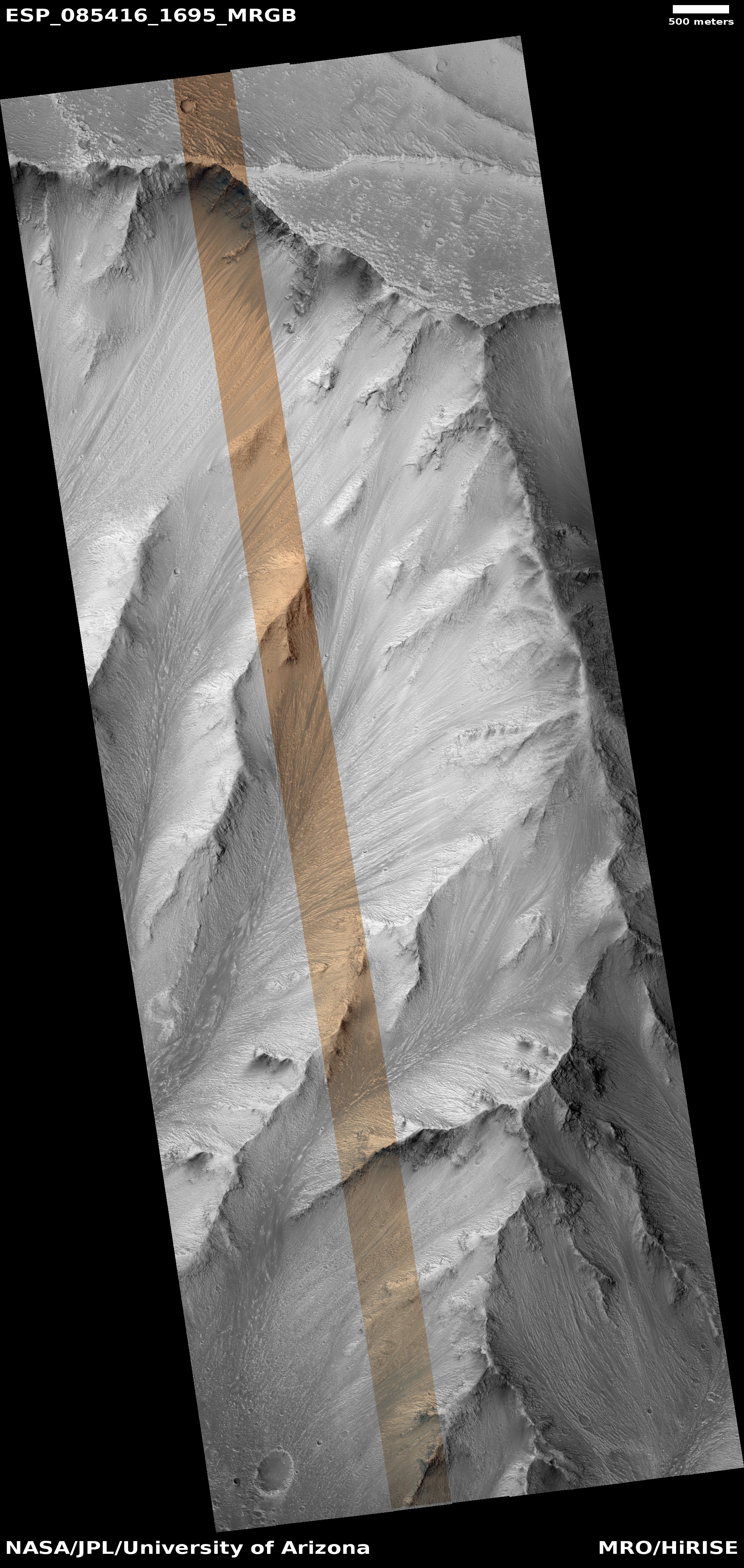
Click for original image.
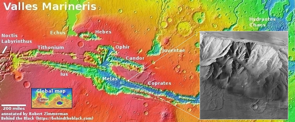
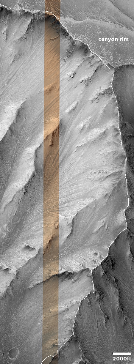
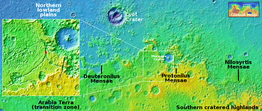
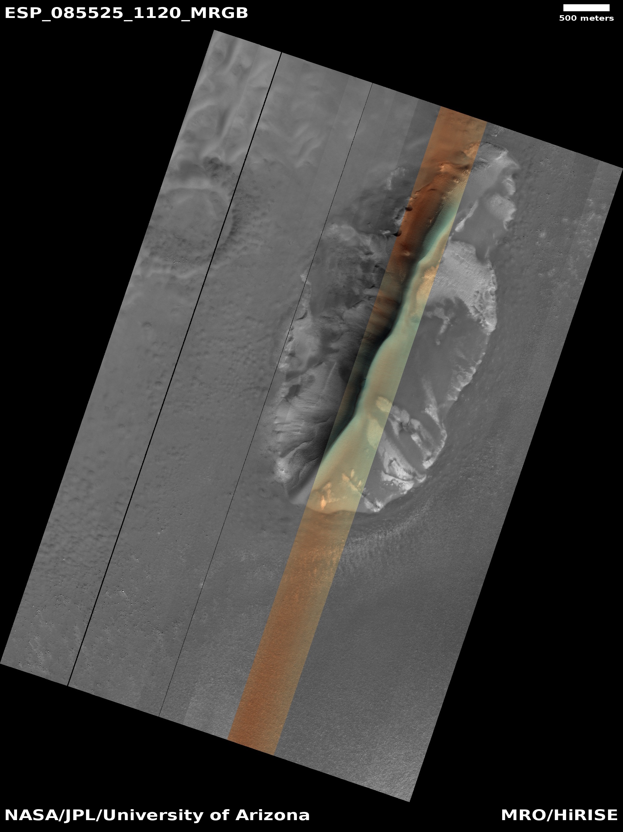
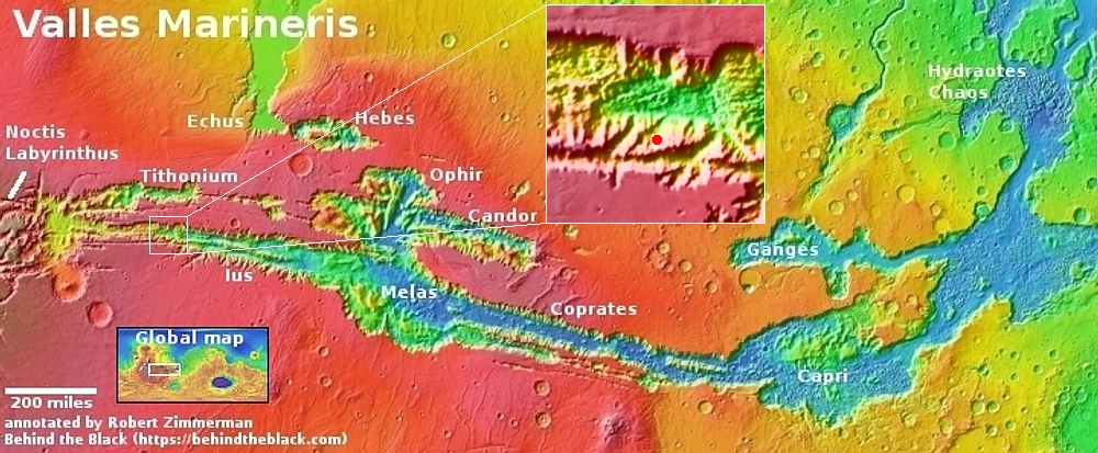
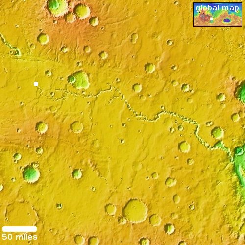
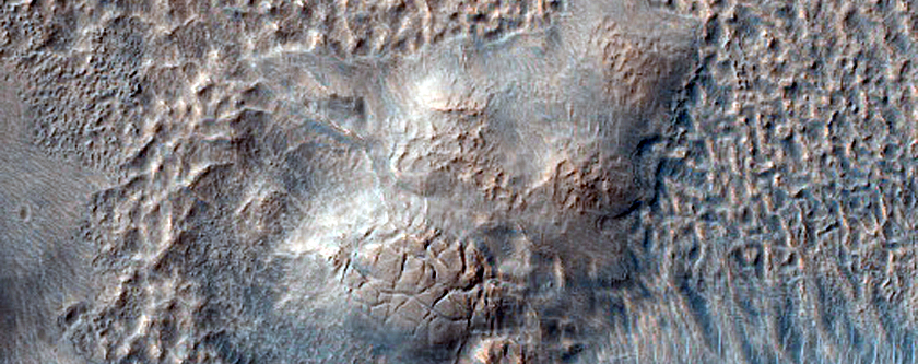
Cool image time! The picture to the right, rotated, cropped, reduced, and sharpened to post here, was taken on October 15, 2024 by the high resolution camera on Mars Reconnaissance Orbiter (MRO). The white dot on the overview map above shows the location, on the northern interior wall of the vast Valles Marineris canyon on Mars.
As my readers know, I tend to look at the spectacular Martian photos coming back from the orbiters and rovers as much from a tourist perspective as that of a scientist. Thus, for this picture, my first thought was to consider the possibility of a trail weaving its way down the nose of that ridgeline and into the canyon. In the Grand Canyon such ridgelines often provide a route down where walking is possible the entire way, with no need for climbing or ropes.
To illustrate my thought, I have indicated the potential trail with the white line. All told this trail covers about 7.2 miles, and drops 12,500 feet. Such a drop is very steep for trails on Earth, with an average grade of 14 degrees and about three times the grade considered reasonable. On Mars, however, with its one-third gravity, I think a grade this steep would be reasonable, though certainly daunting mentally. You would not only be descending on a very steep slope, you would be doing so on the peak of this ridge, with drops of one to two thousand feet on either side.
Amazingly, the inset on the overview map shows that this trail gets you less than halfway to the bottom. All told, the drop from canyon rim to floor at this location is about 31,000 feet over 20 miles, a drop that is greater than climbing down from the top of Mount Everest. If I was to install a trail here I’d also build an inn or two along the way as rest stops for hikers.
What the trail would do is get you to the bottom of this particular ridgeline. From here the trail would have to drop off into the western hollow and from then on descend on top of its alluvial fill. The slope would be as steep, but it would be possible to alleviate that by putting in switchbacks. This would lower the grade, but increase the distance traveled significantly.
Geologically, this image shows to my eye one particular feature that is quite significant, at the rim. I will discuss this tomorrow, in my next cool image.


