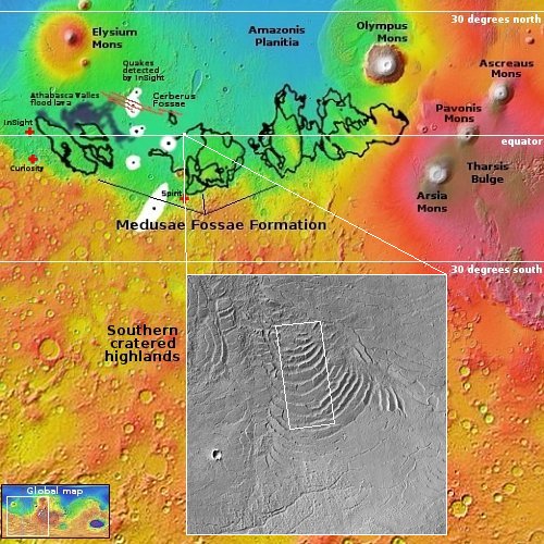
Bumpy frozen lava on Mars
Click for original image.
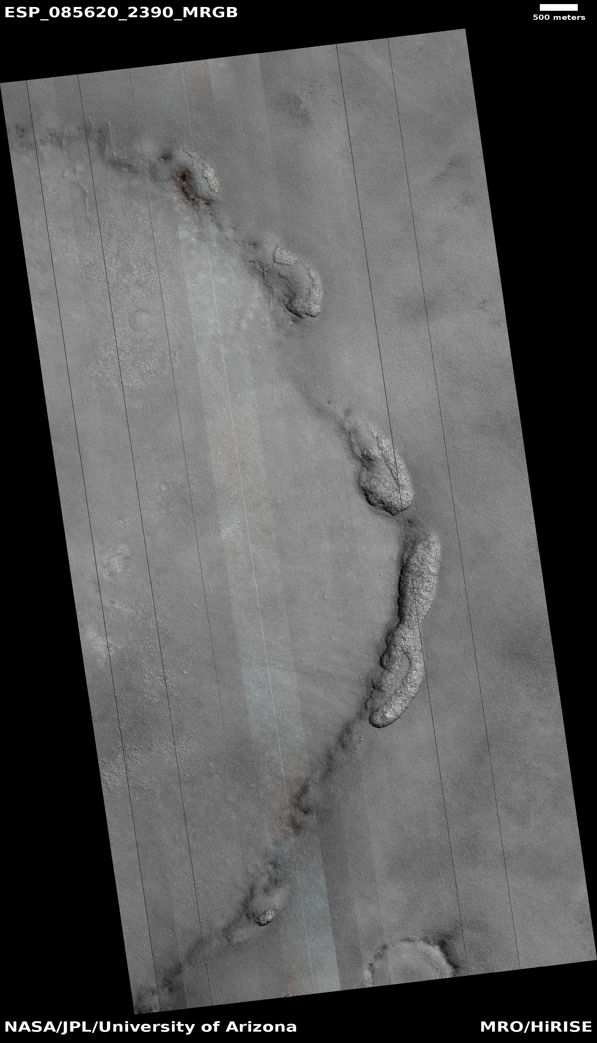
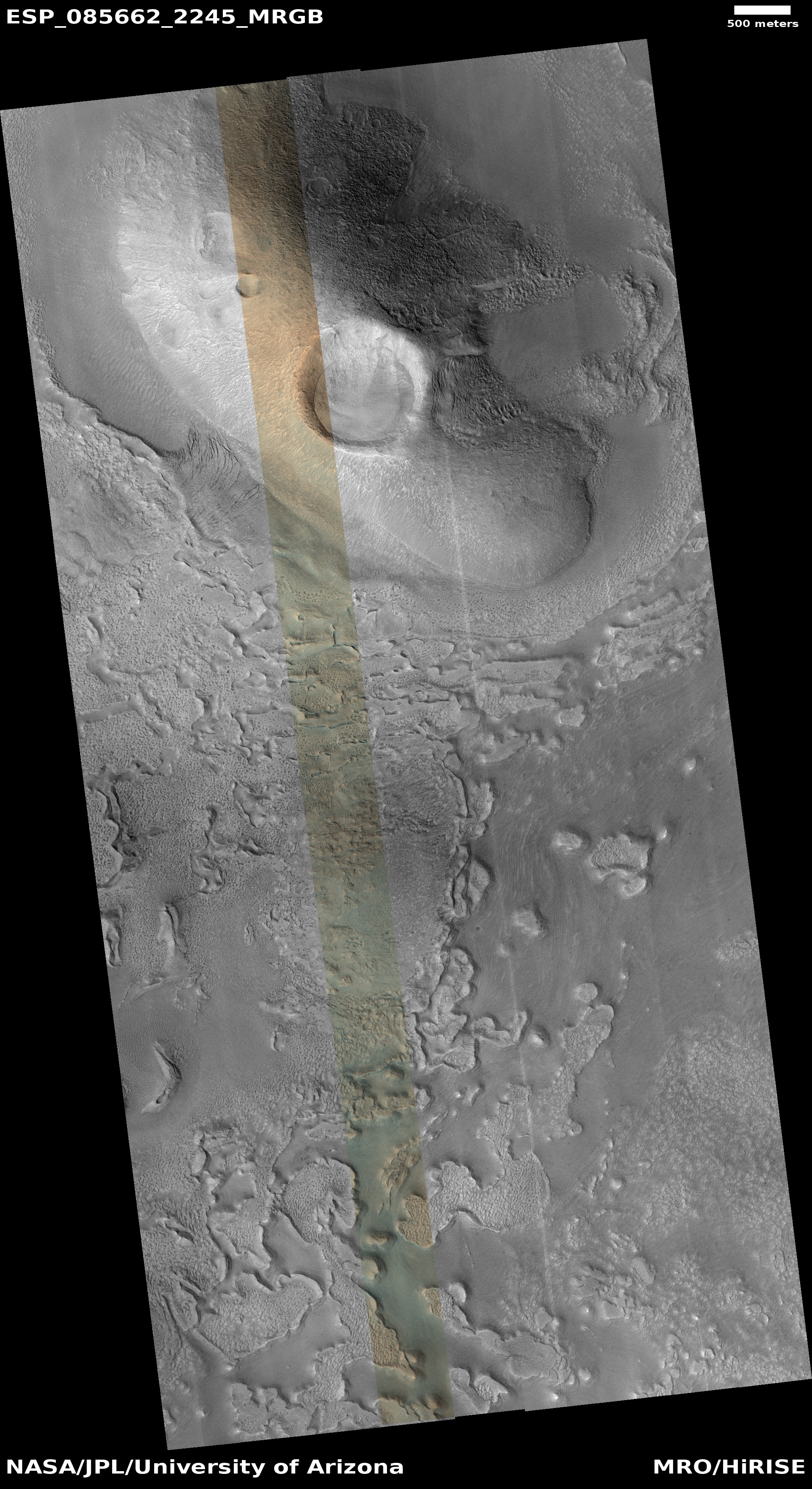
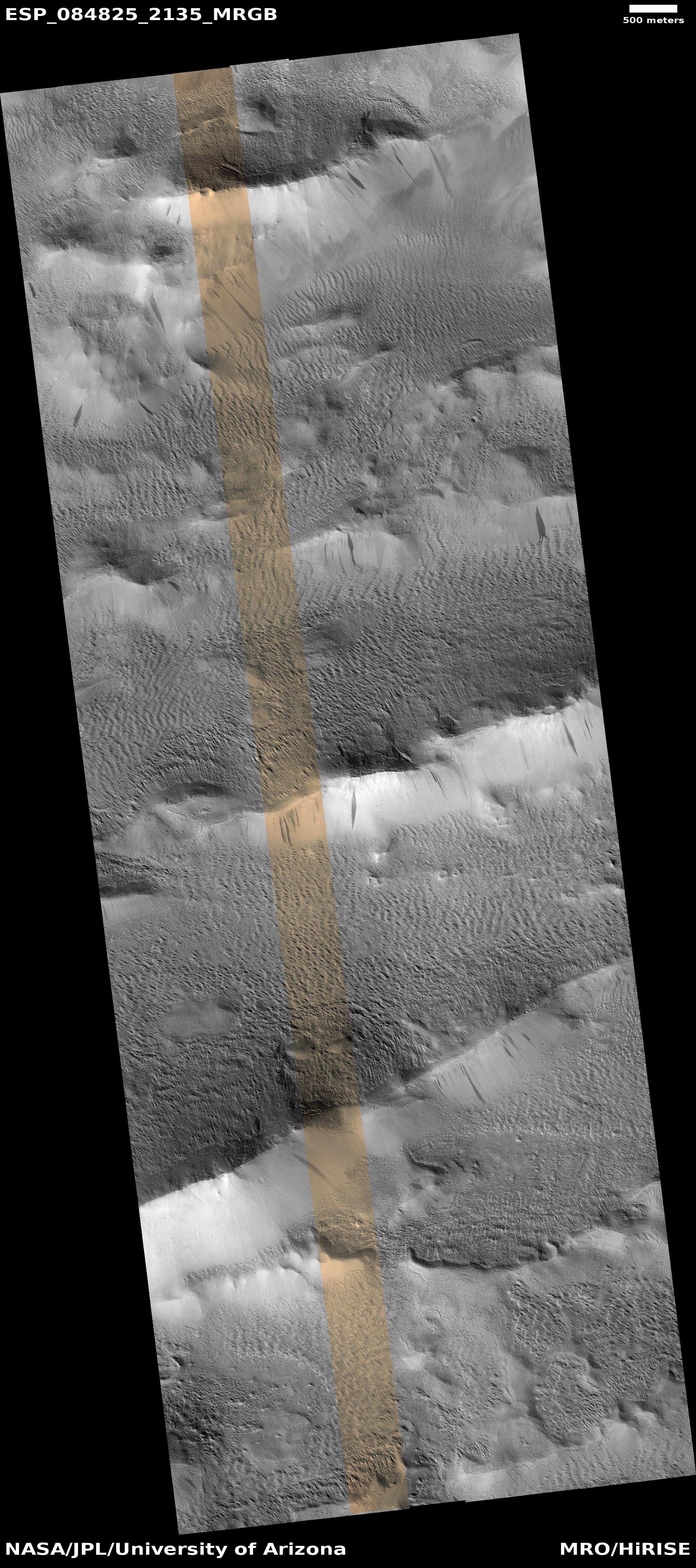
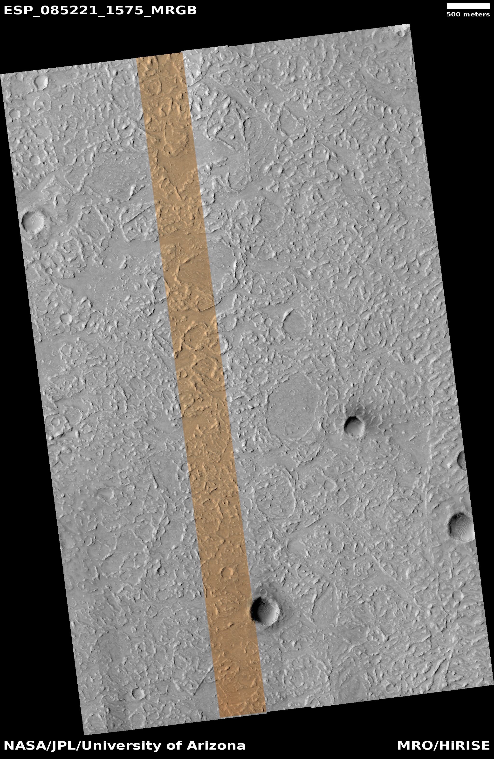
Cool picture time! The photo to the right, cropped, reduced, and sharpened to post here, was taken on September 30, 2024 by the high resolution camera on Mars Reconnaissance Orbiter (MRO). Labeled simply as a “terrain sample,” it was most likely taken not as part of any specific research project but to fill a gap in the schedule in order to maintain the camera’s temperature.
The image is fascinating nonetheless, as the landscape is typically alien for Mars. What caused the many random ridges and knobs? Why are there oblong areas that are smooth and have no ridges? And why is there dark material inside that crater that appears to have been blown out to the northeast? If you click on the image to see the full image, not all the craters look this way. One has a similar dark feature, but others are as bland as the entire terrain.
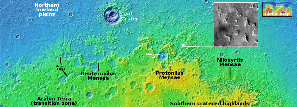
The overview map below only increases these mysteries, even if it does provide some further data.
» Read more