Thick windblown ash in Mars’ largest mountain region
Click for original picture.
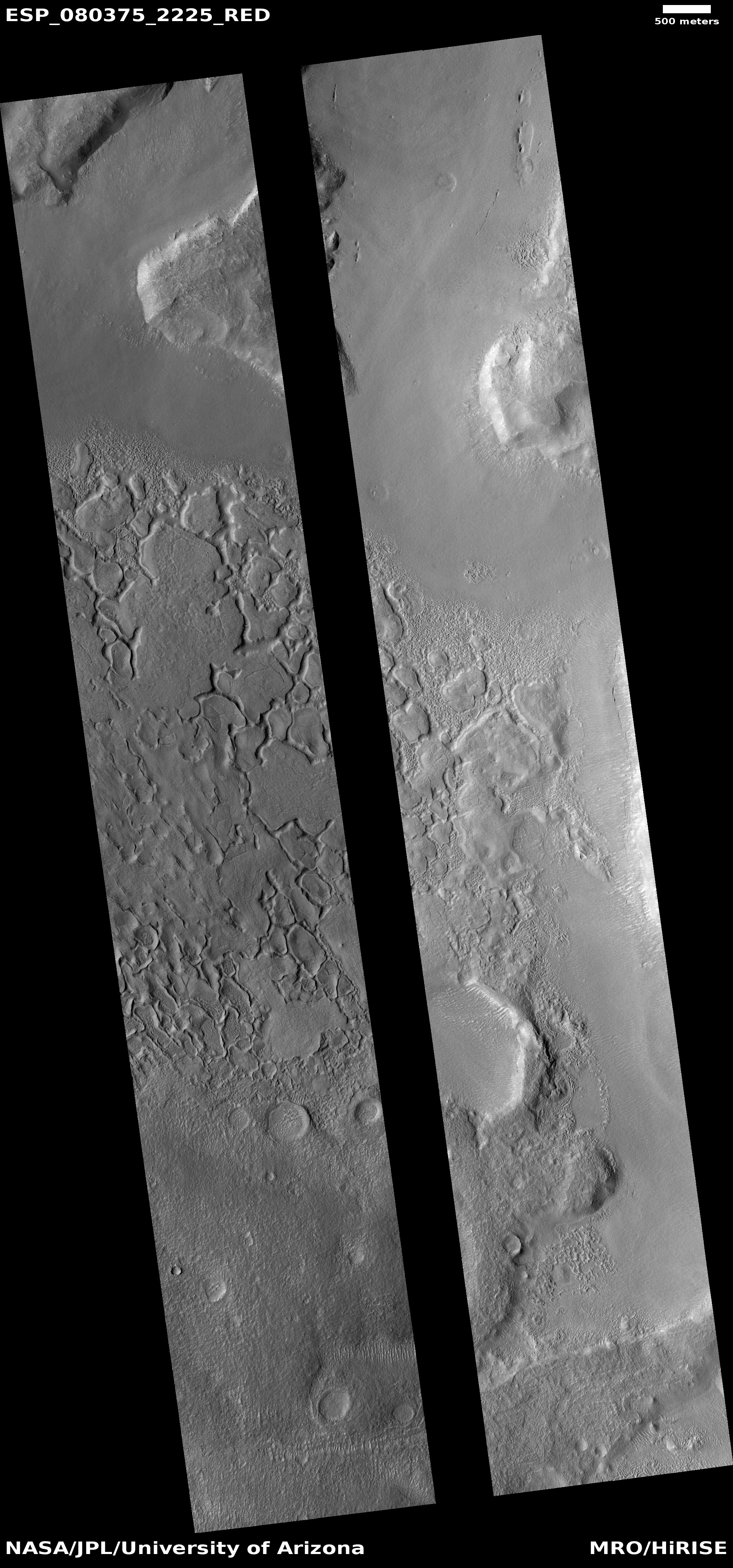
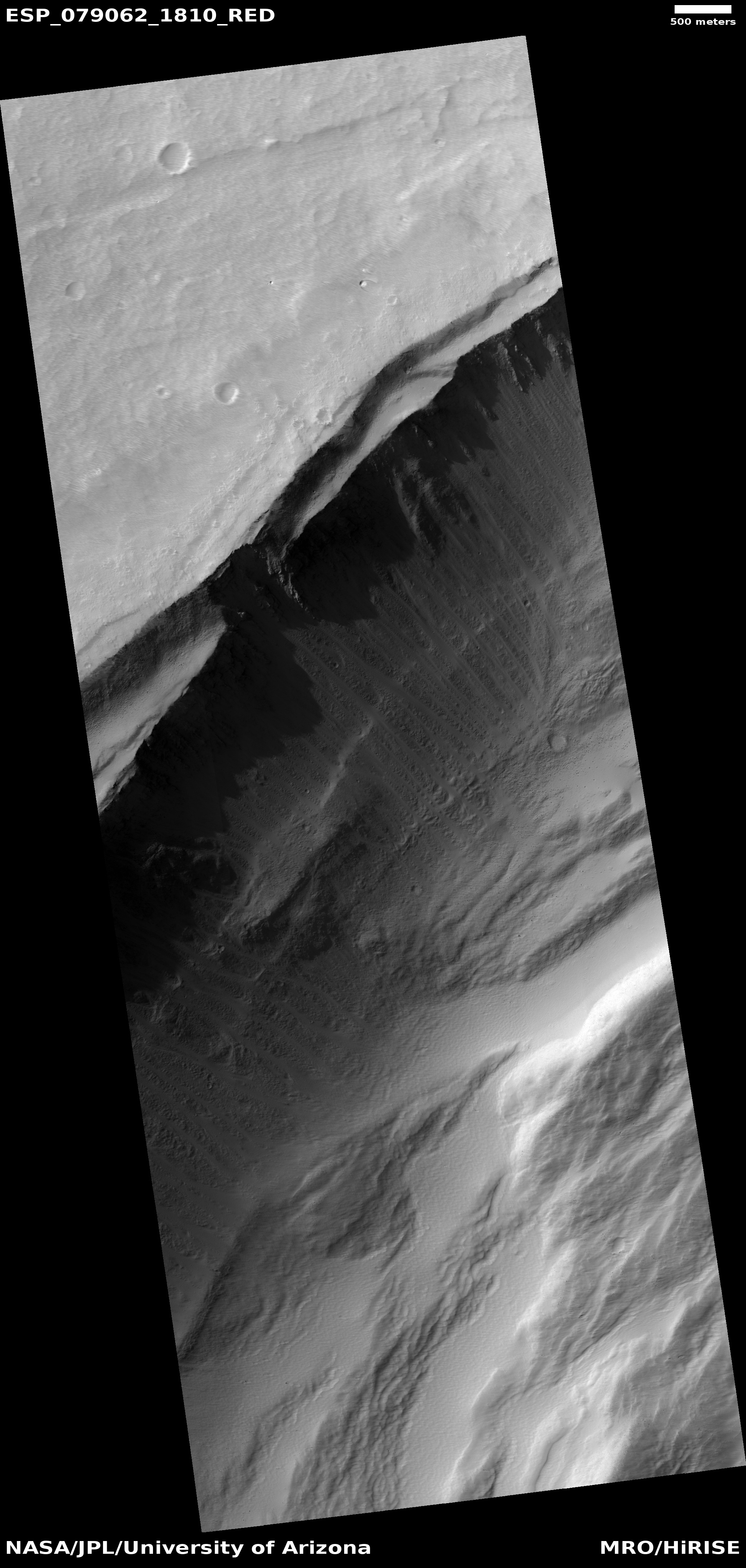
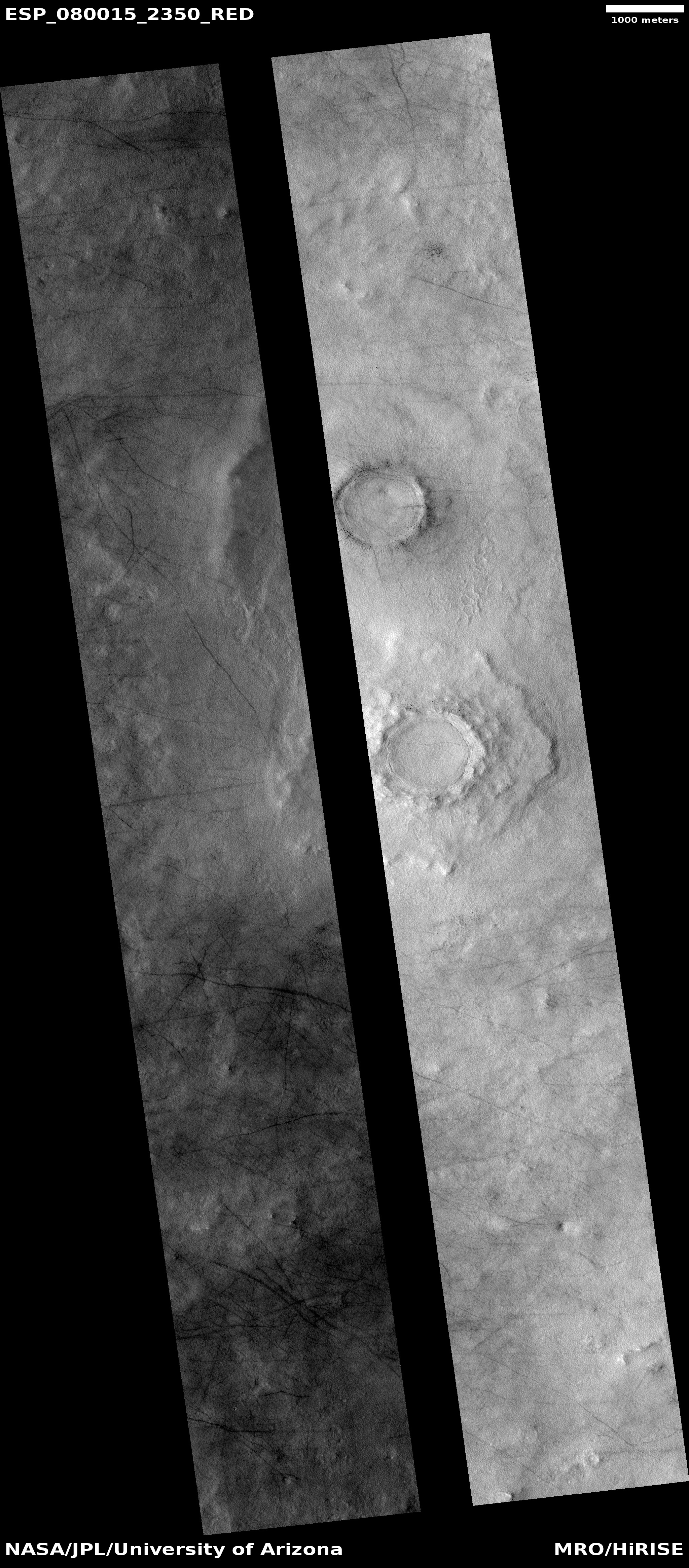
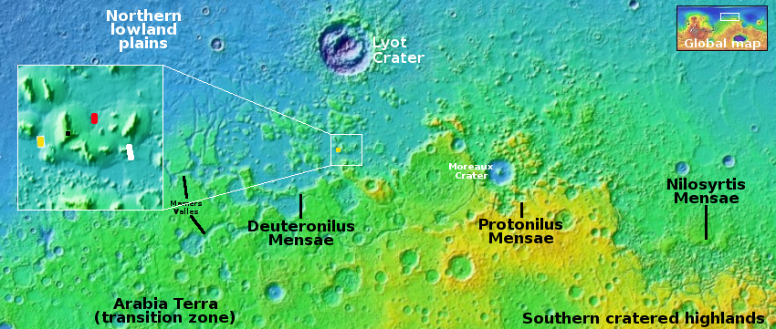
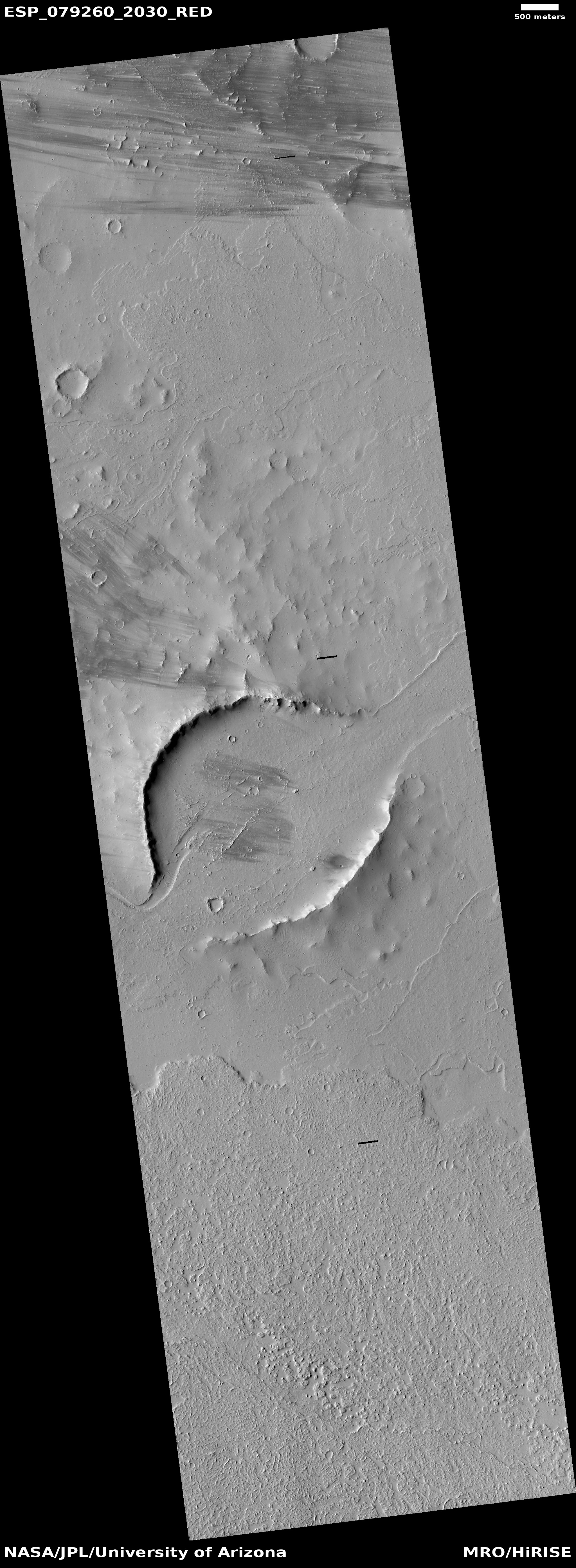
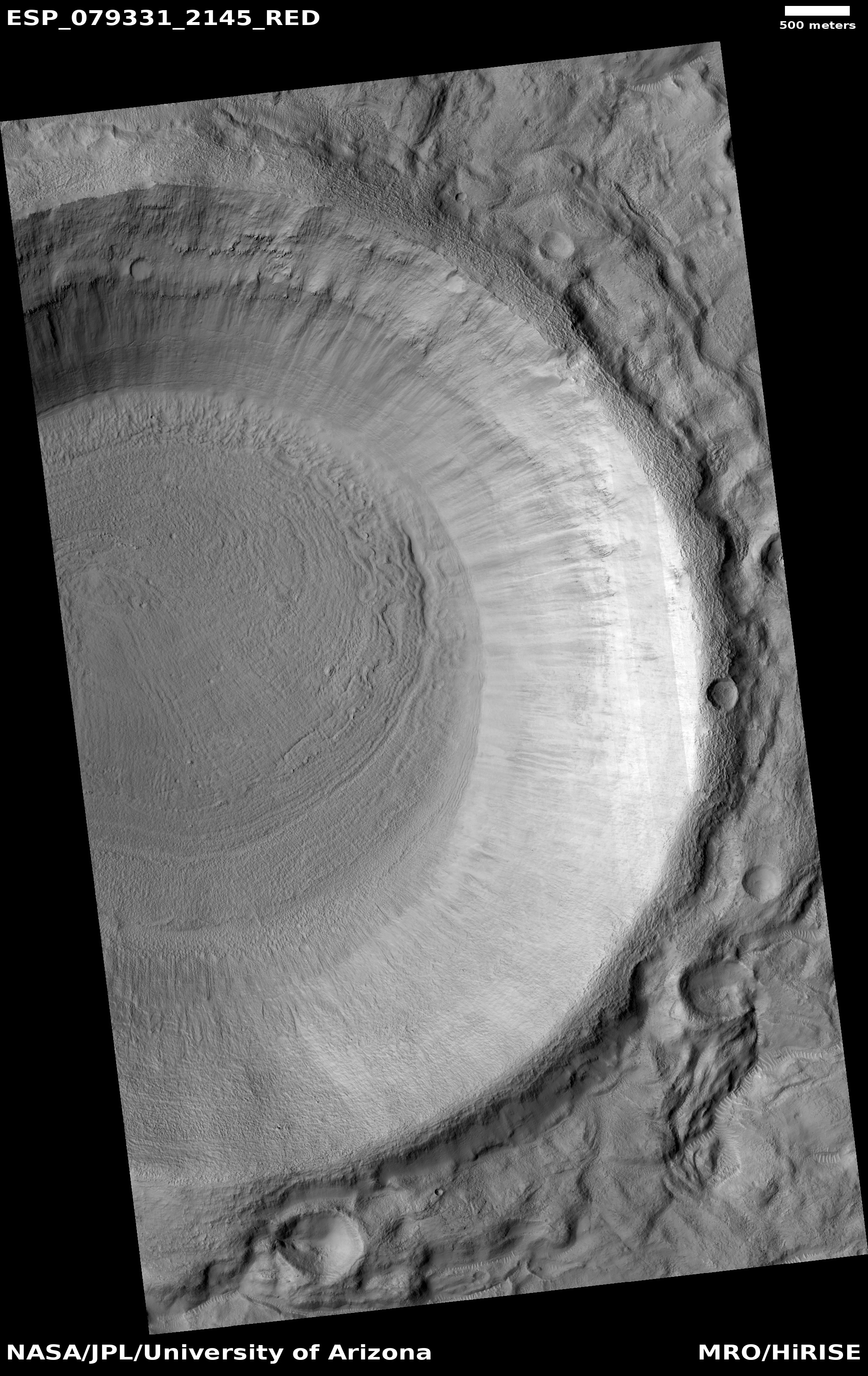
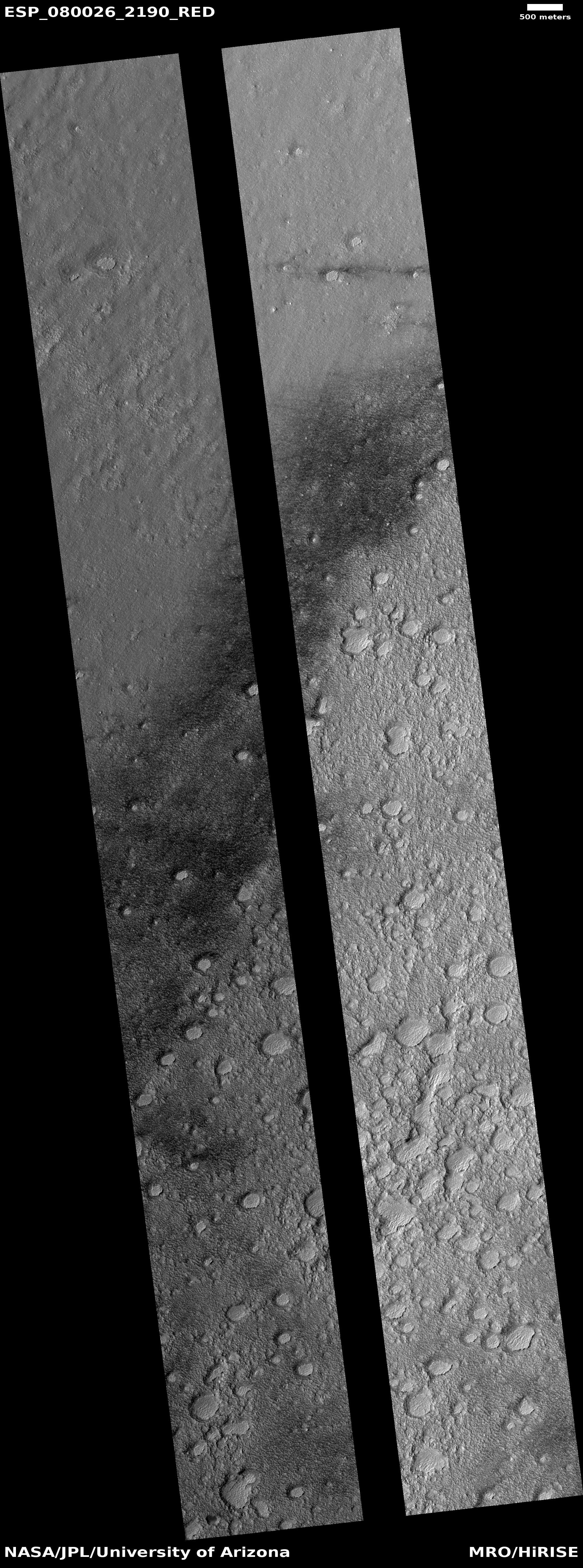
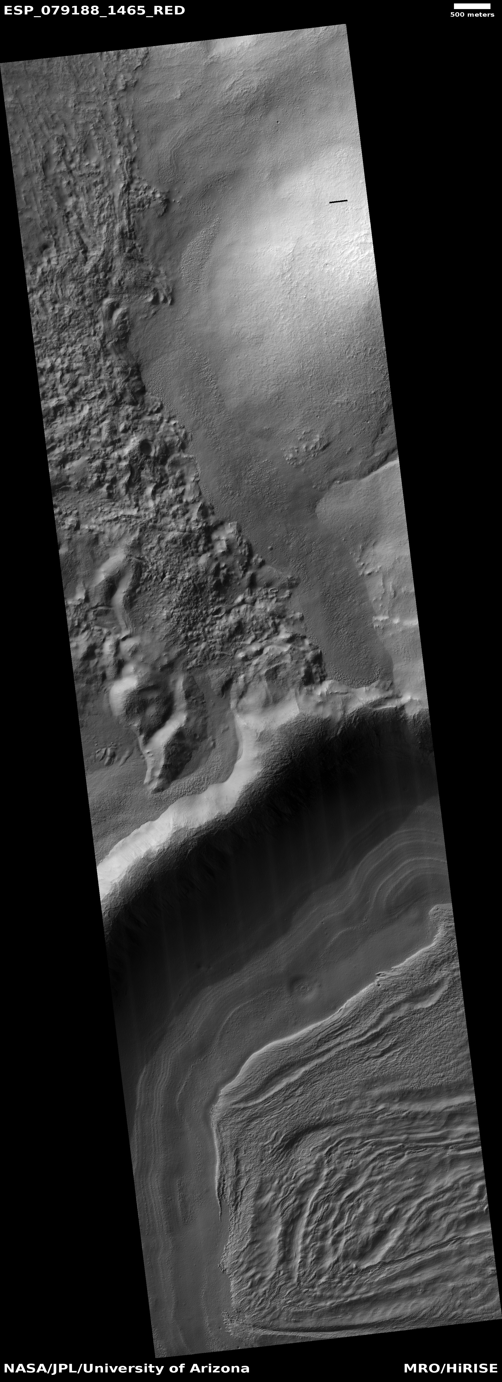
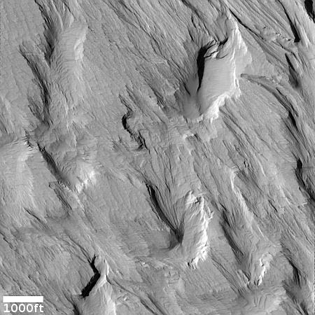
The cool image to the right, rotated, cropped, reduced, and sharpened to post here, was taken on September 1, 2023 by the high resolution camera on Mars Reconnaissance Orbiter (MRO), and shows what the scientists label as “Erosional Features on Olympus Mons.”
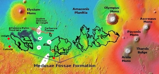
What is eroding? Based on the picture itself the first guess is volcanic ash, as these features strongly resemble the many features seen in the Medusae Fossae Formation, the largest volcanic ash field on Mars — about the size of the subcontinent of India.
Medusae however is many thousand miles away, and is not apparently related to any specific volcano. These features are instead directly linked to Olympus Mons, the largest known volcano in the solar system. However, much of the terrain for many hundreds of miles around Olympus is covered with flood lava, which was deposited and hardened quickly to form smooth featureless plains that have resisted much erosion over the eons. Here the terrain is clearly eroded, which suggests that if the material here is volcanic, it was laid down not by flood lava but by falling ash that got compressed but was easily friable and could be blown away by the winds of Mars’ thin atmosphere.
» Read more
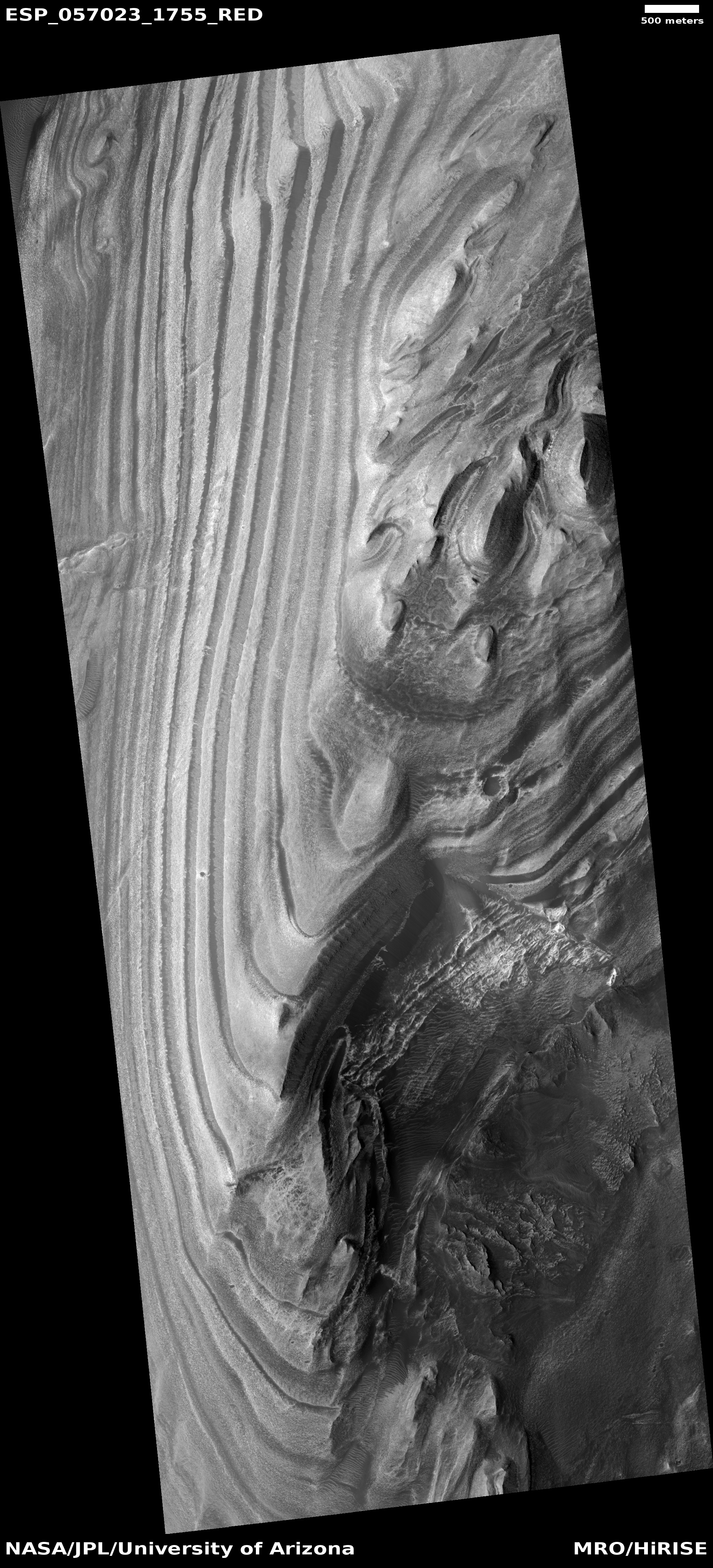
Click for original picture.
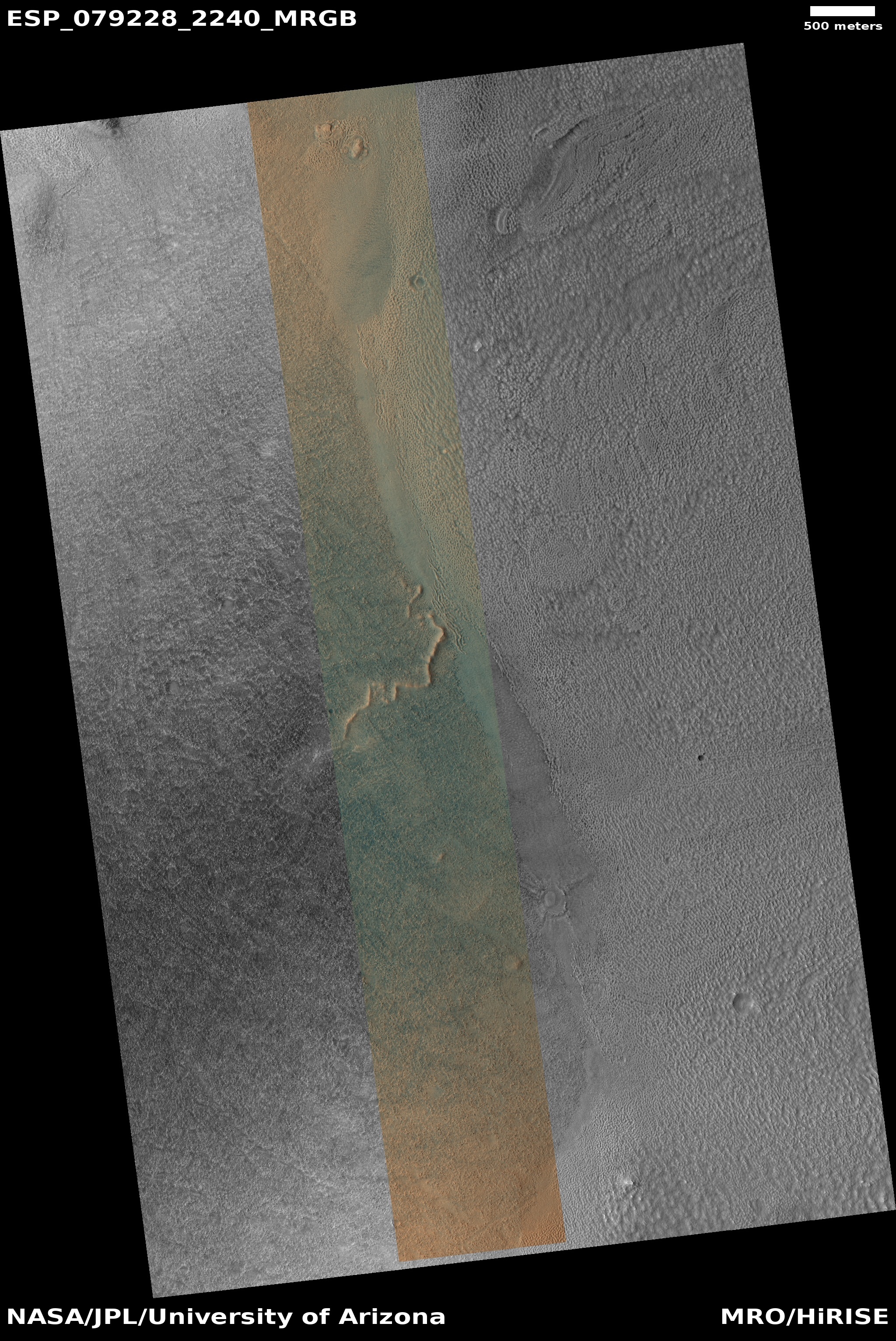
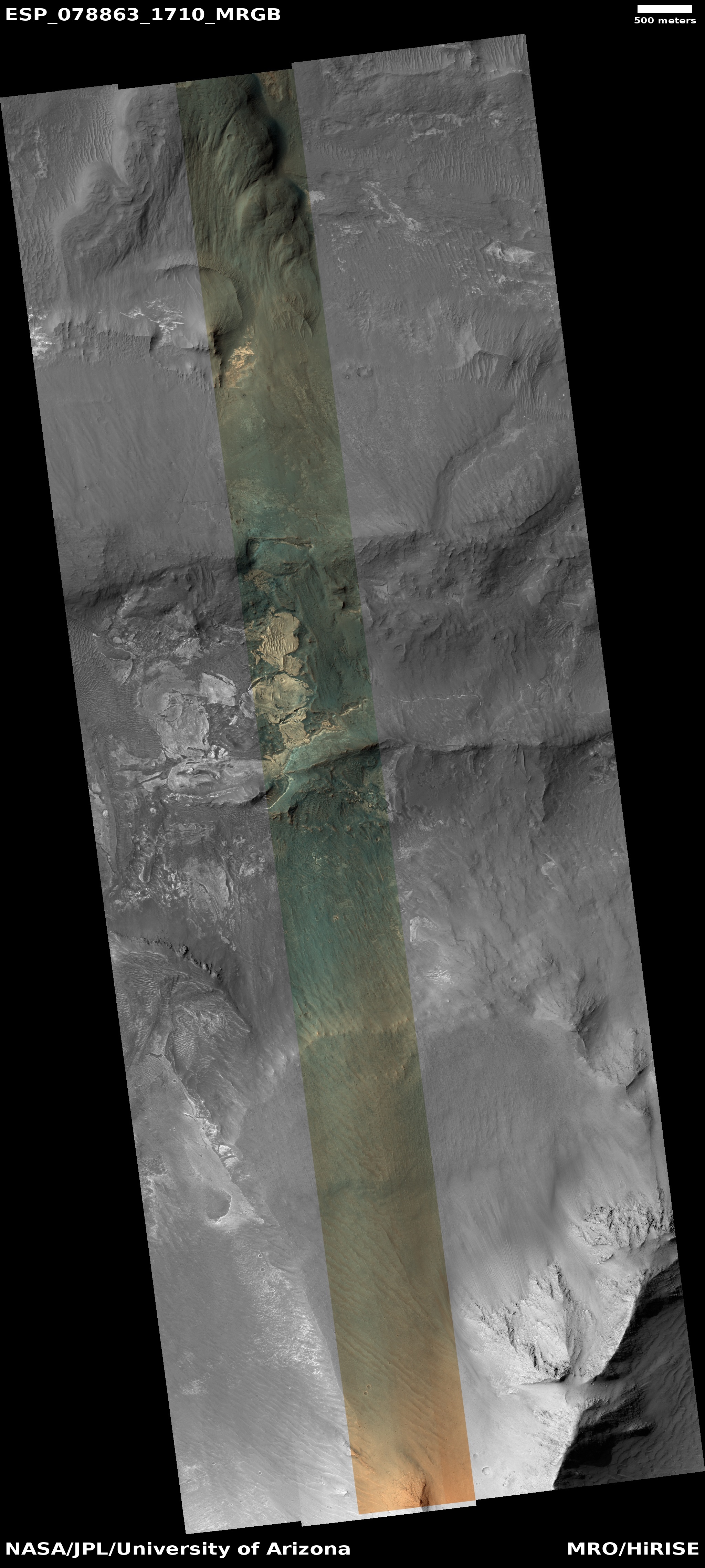
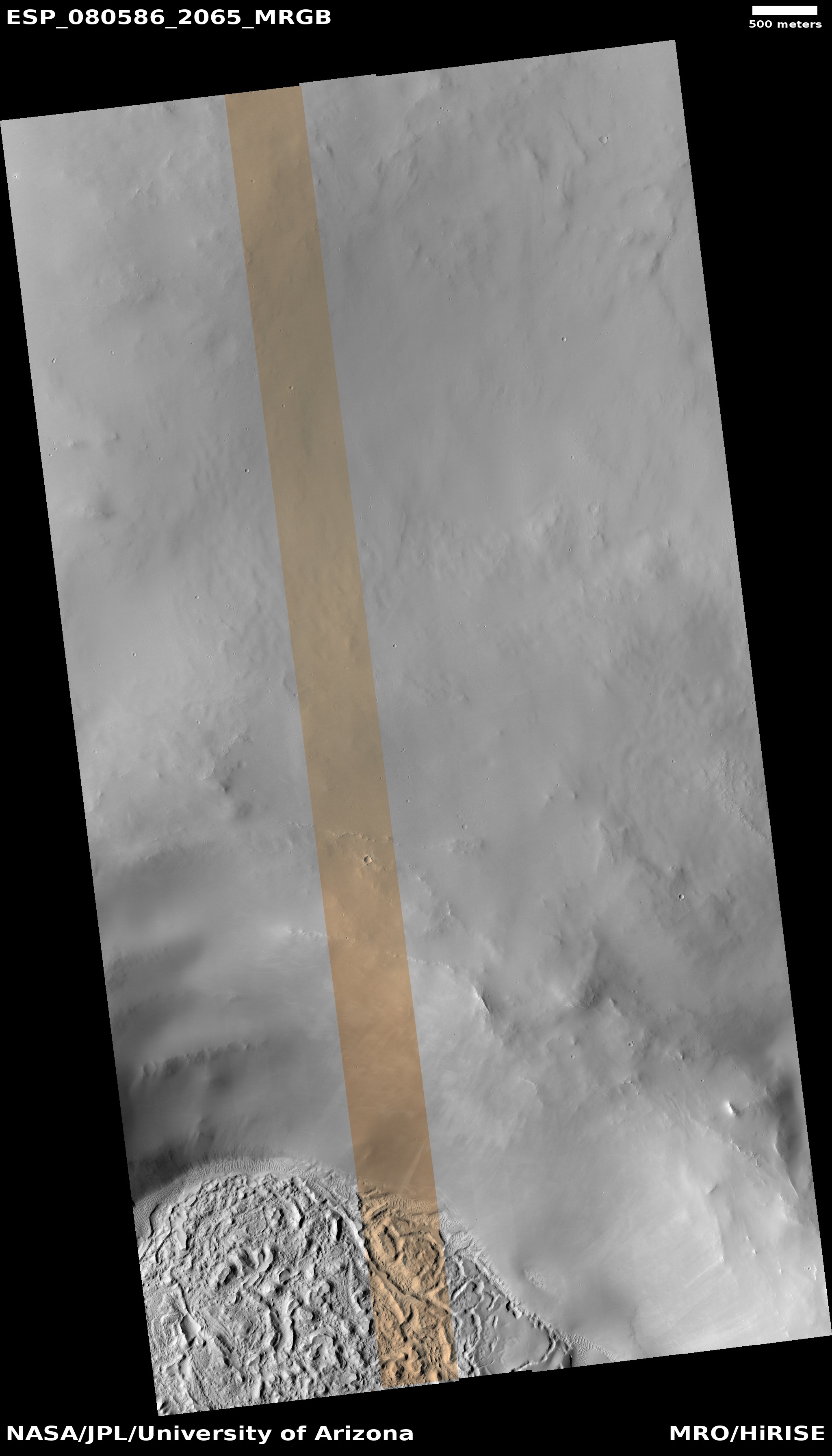
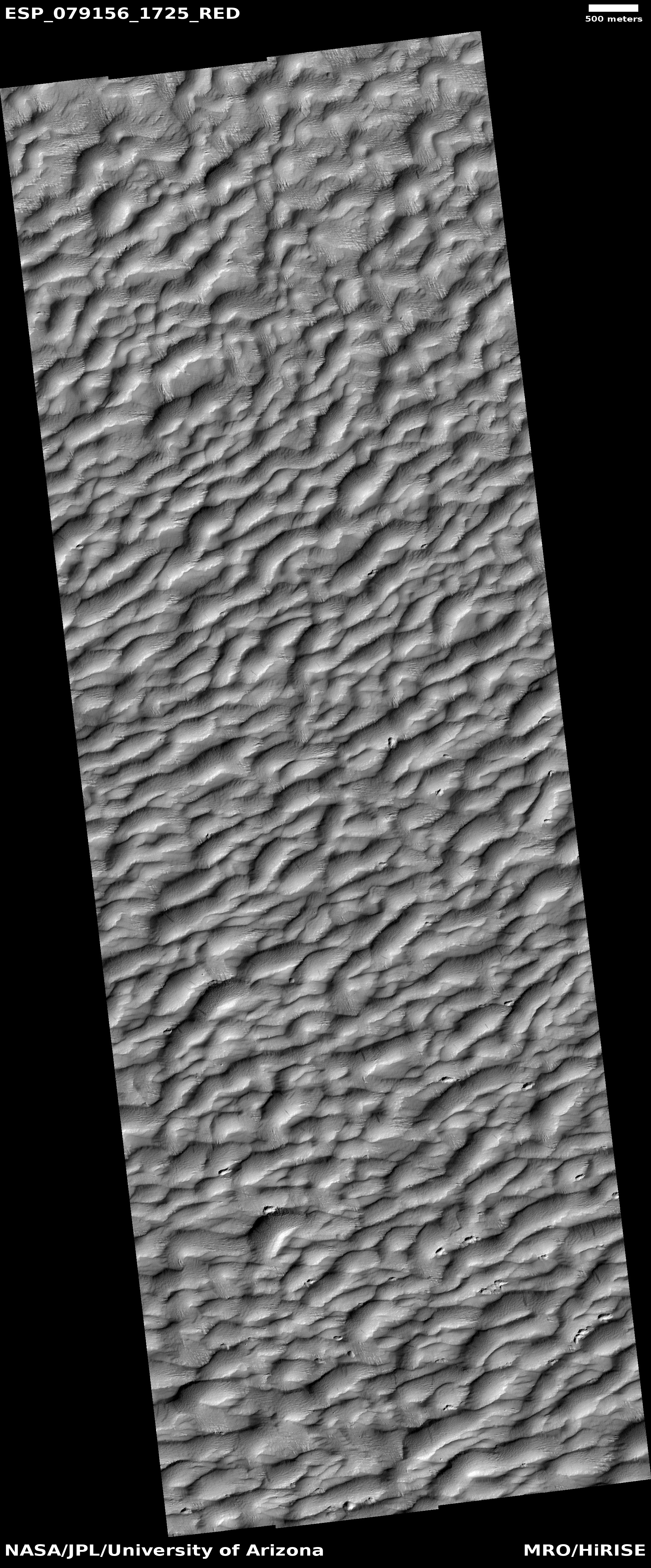
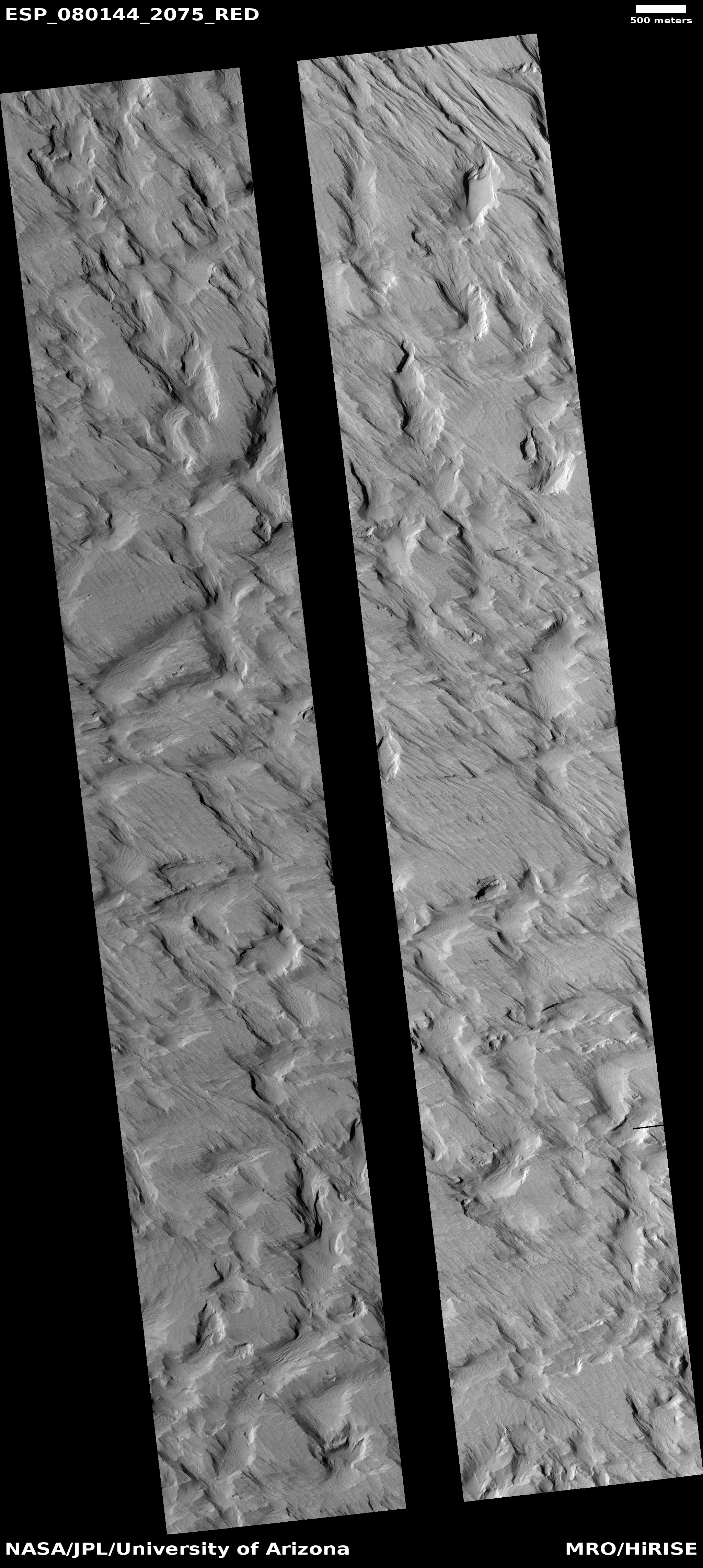
The cool image to the right, rotated, cropped, reduced, and sharpened to post here, was taken on September 1, 2023 by the high resolution camera on Mars Reconnaissance Orbiter (MRO), and shows what the scientists label as “Erosional Features on Olympus Mons.”
What is eroding? Based on the picture itself the first guess is volcanic ash, as these features strongly resemble the many features seen in the Medusae Fossae Formation, the largest volcanic ash field on Mars — about the size of the subcontinent of India.
Medusae however is many thousand miles away, and is not apparently related to any specific volcano. These features are instead directly linked to Olympus Mons, the largest known volcano in the solar system. However, much of the terrain for many hundreds of miles around Olympus is covered with flood lava, which was deposited and hardened quickly to form smooth featureless plains that have resisted much erosion over the eons. Here the terrain is clearly eroded, which suggests that if the material here is volcanic, it was laid down not by flood lava but by falling ash that got compressed but was easily friable and could be blown away by the winds of Mars’ thin atmosphere.
» Read more