
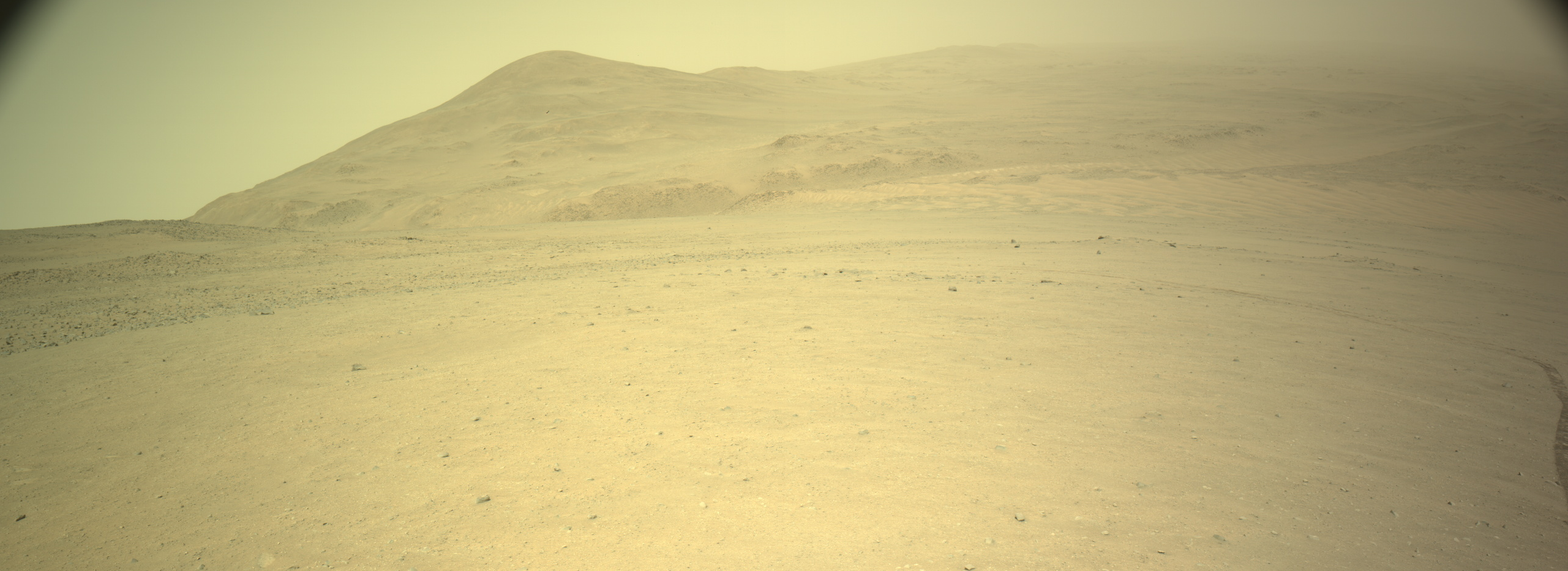
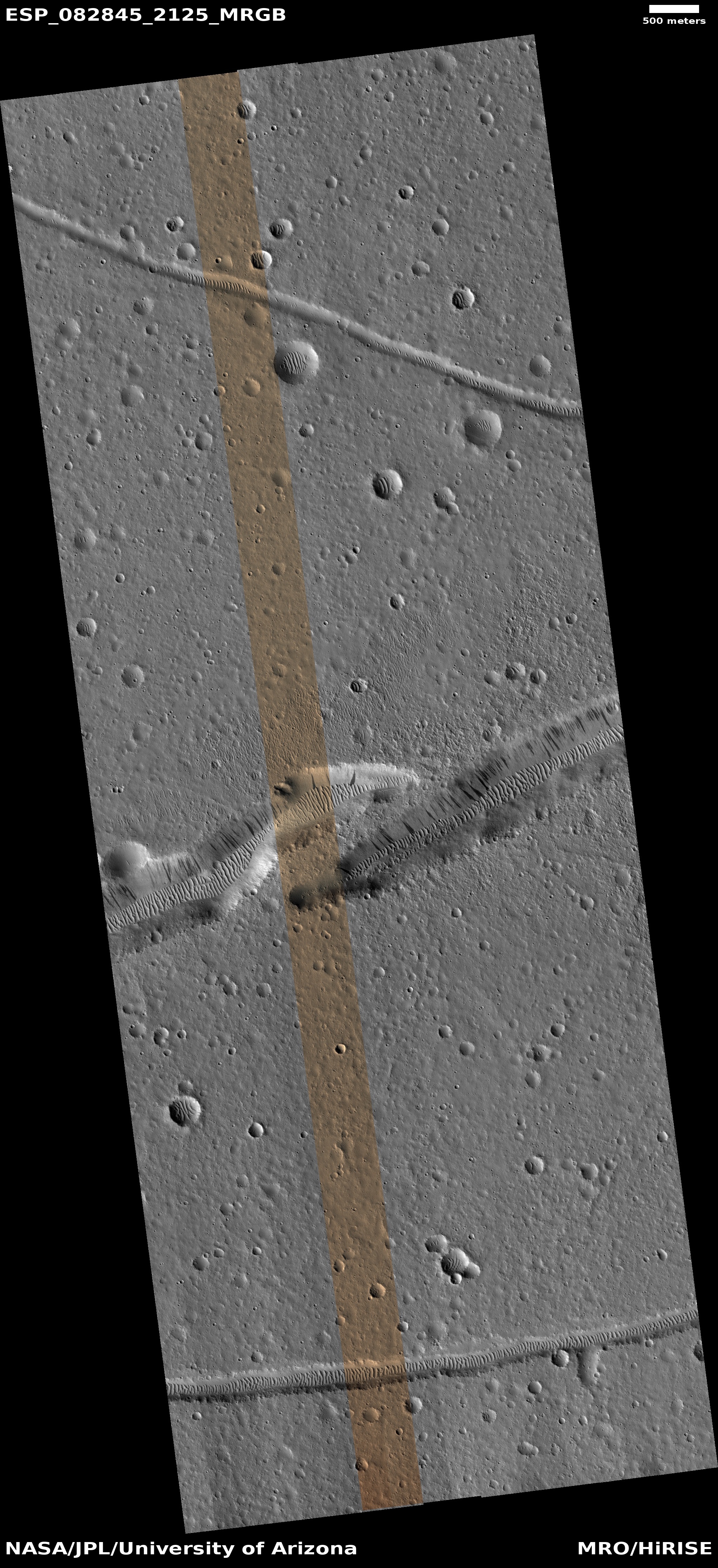
Perseverance looks uphill
Click for full resolution. The original images can be found here and here.
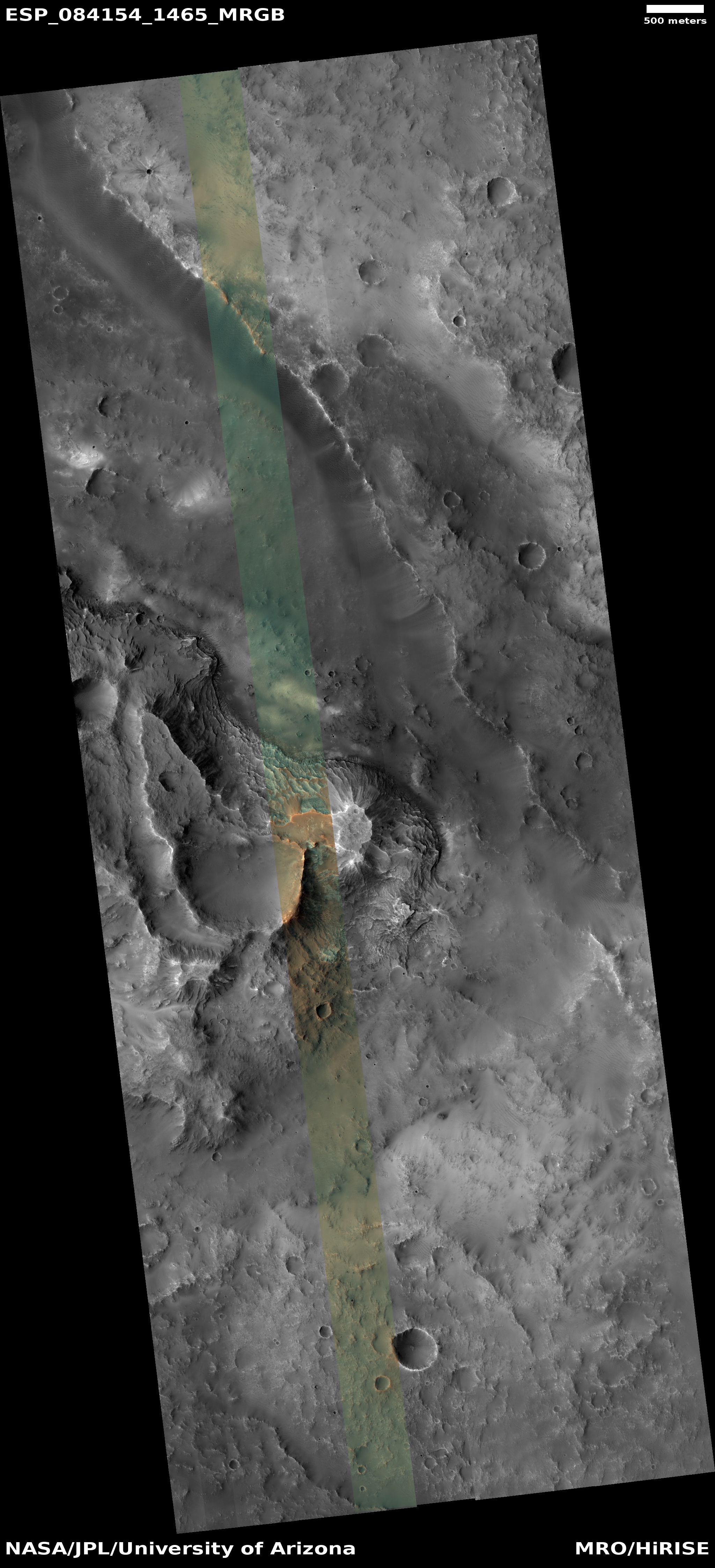
Cool image time! The panorama above was created by me from two pictures taken today by the left navigation camera on the Mars rover Perseverance (found here and here). The haziness in the air is the left over from a local dust storm in Jezero Crater during the past month.
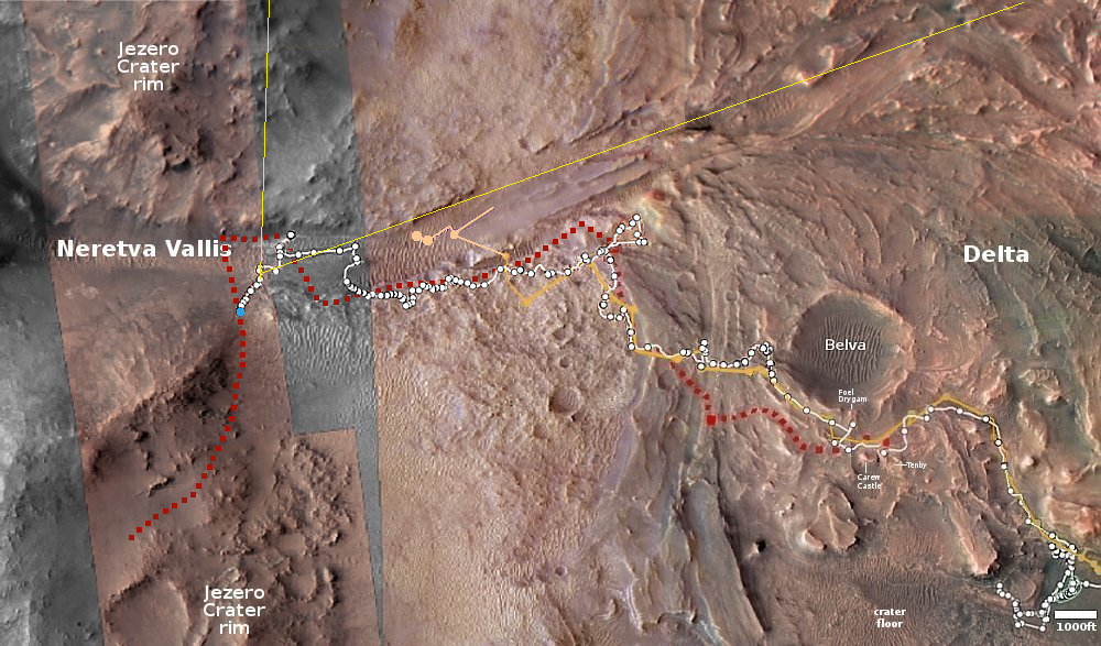
On the overview map below, the blue dot marks Perseverance’s present position, with the red dotted line indicating the approximate planned route of the rover uphill. The yellow lines are my guess as to the area covered by the panorama above. That guess could be wrong, as not all the features in the picture match the overview map. The view could be much closer, with the hill and ridgeline nothing more than the small outcrops close to the rover.
Nonetheless, these navigation pictures show us the kind of terrain the rover will be climbing as it works its way up the rim of Jezero Crater. The ground is relative smooth, though steep. My guess is that this is about a 25% grade, which on Earth would be a problem but on Mars it is a grade that NASA’s other rover, Curiosity, has routinely traversed. Perseverance has not yet traveled this kind of steepness, but there is no reason to expect it to have any difficulties doing so.
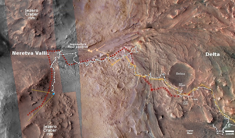
Click for interactive map.


