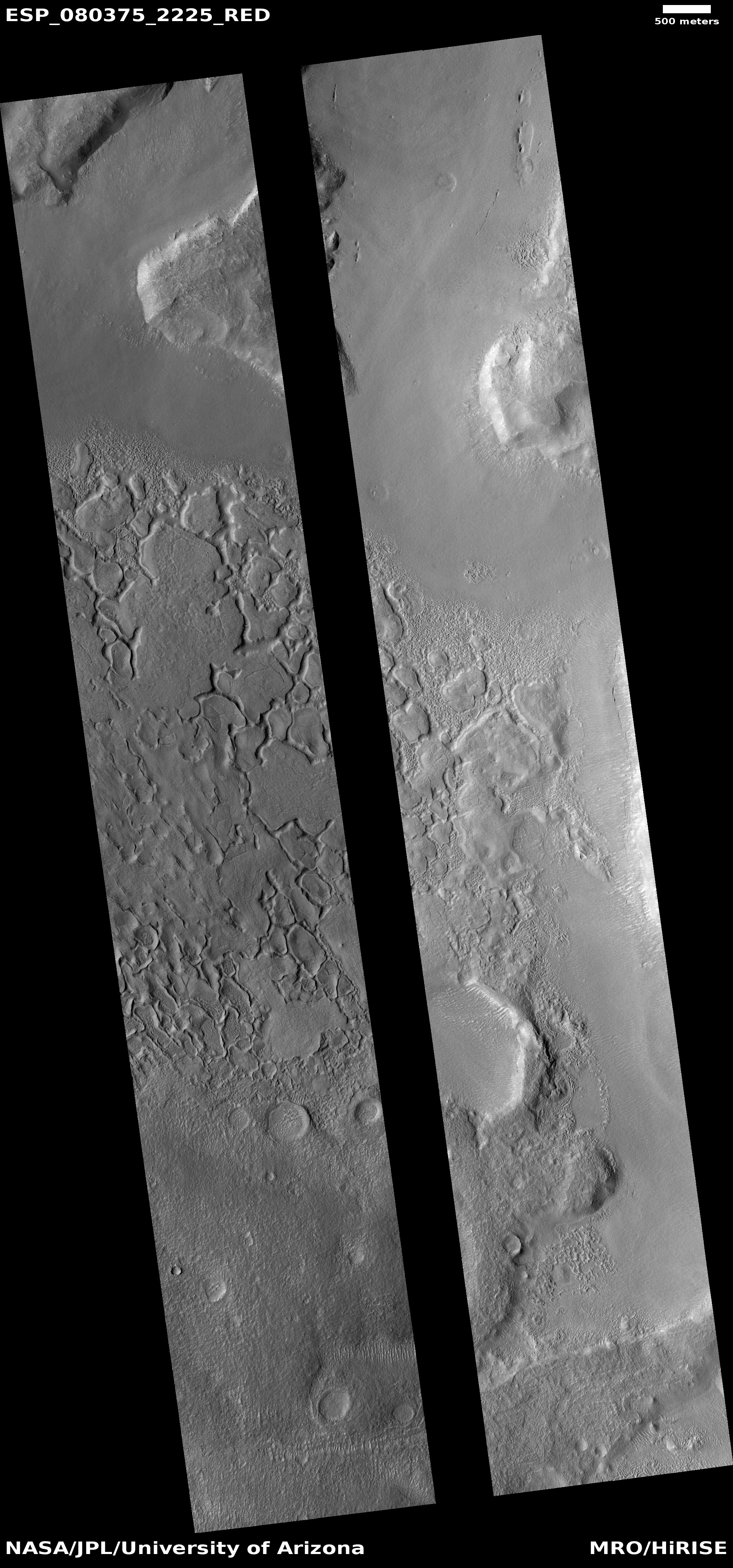
The steep mountain slopes inside Valles Marineris
Click for full image.
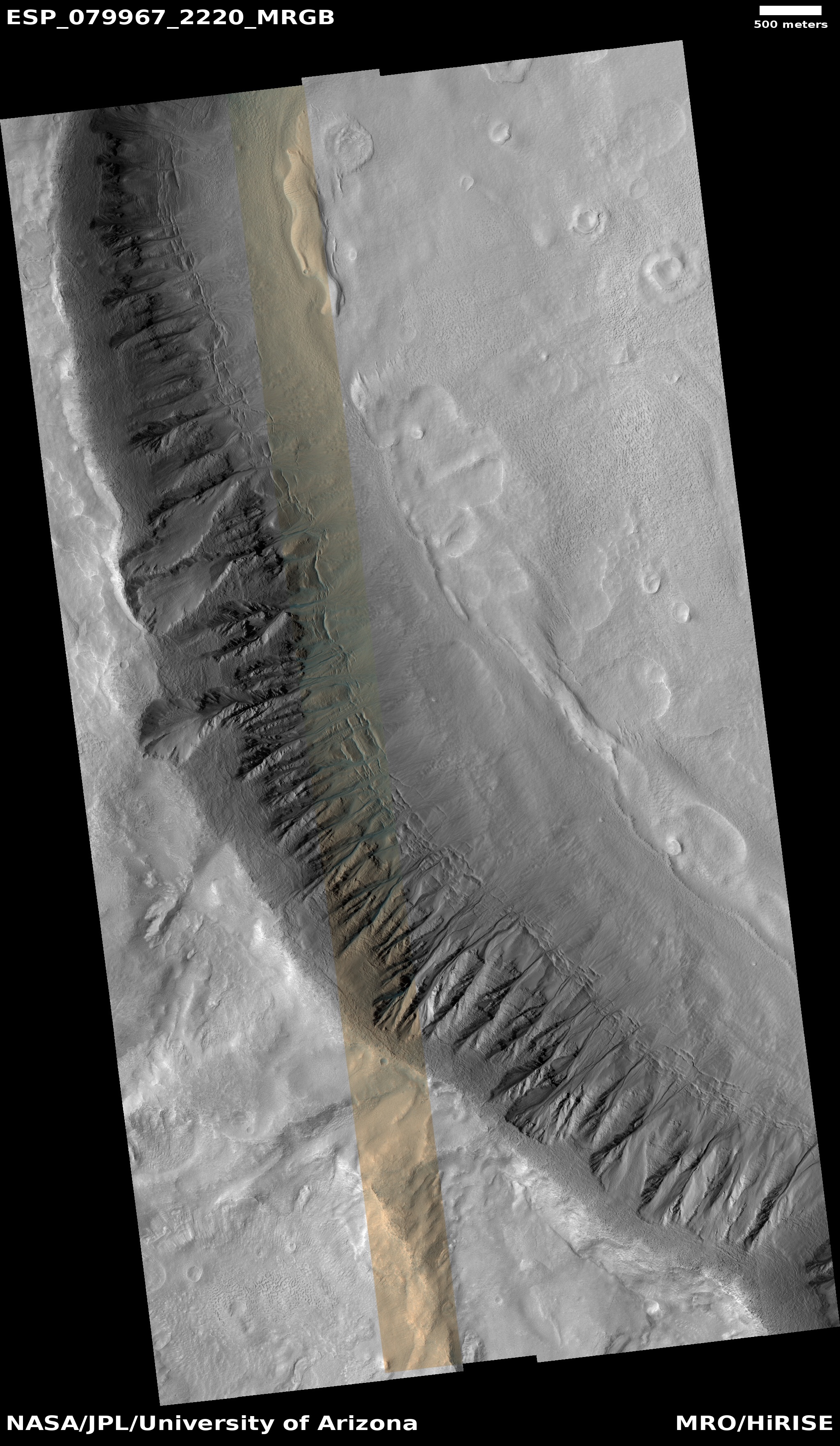
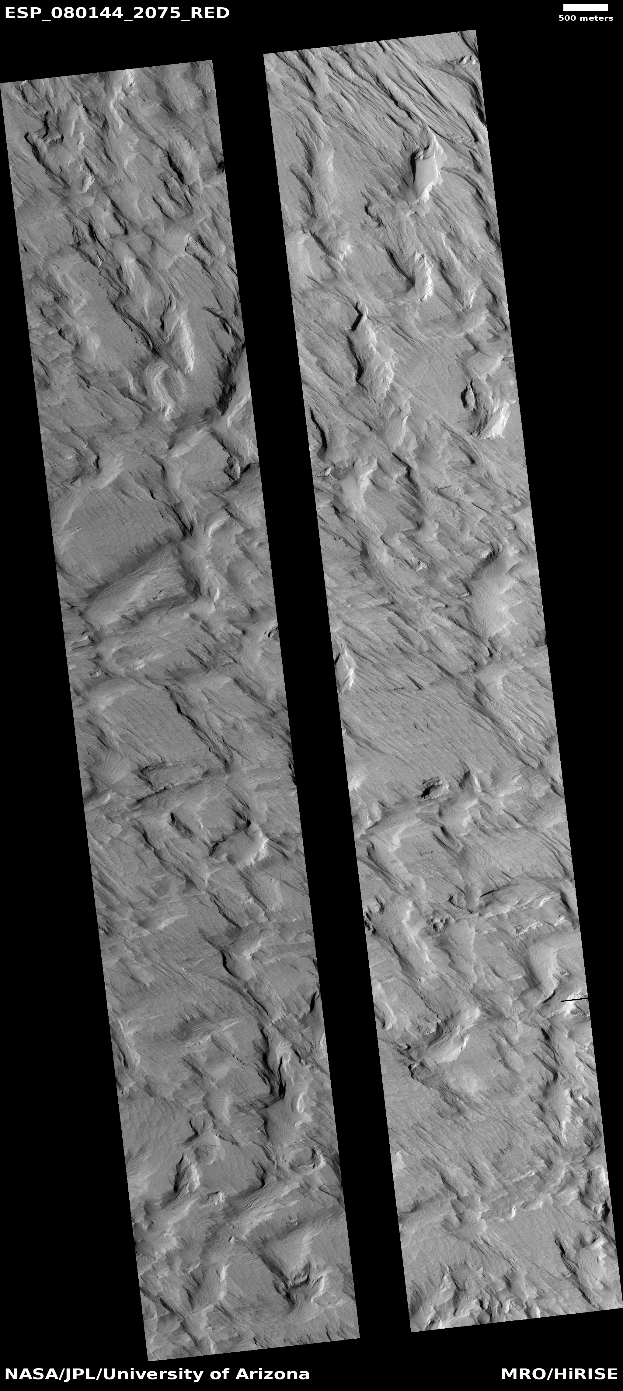
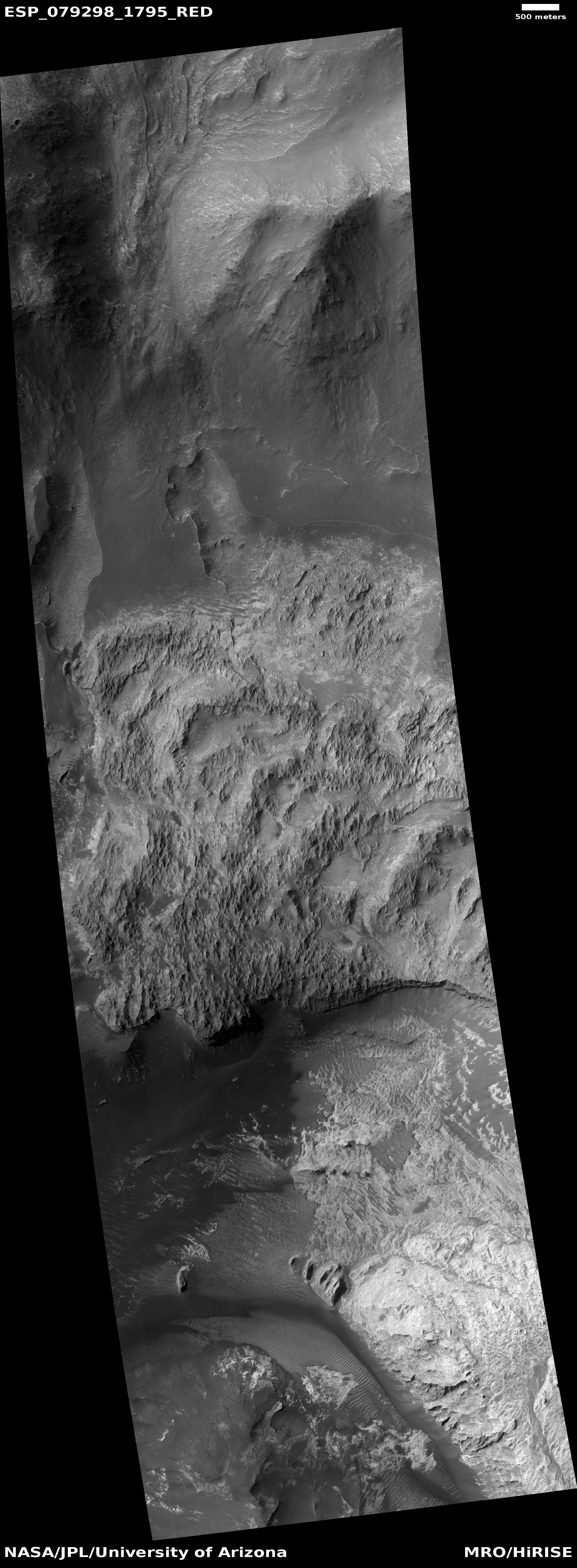
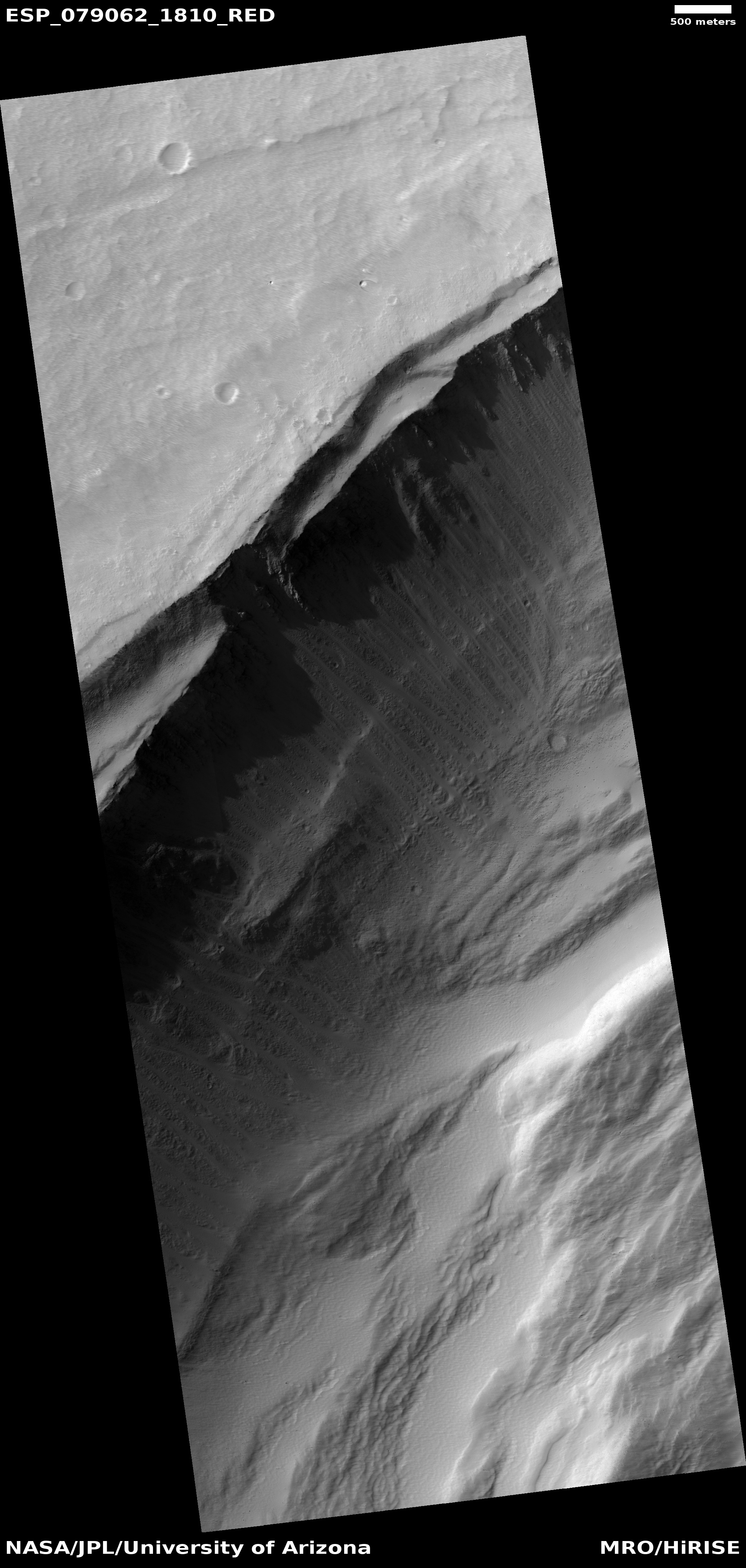
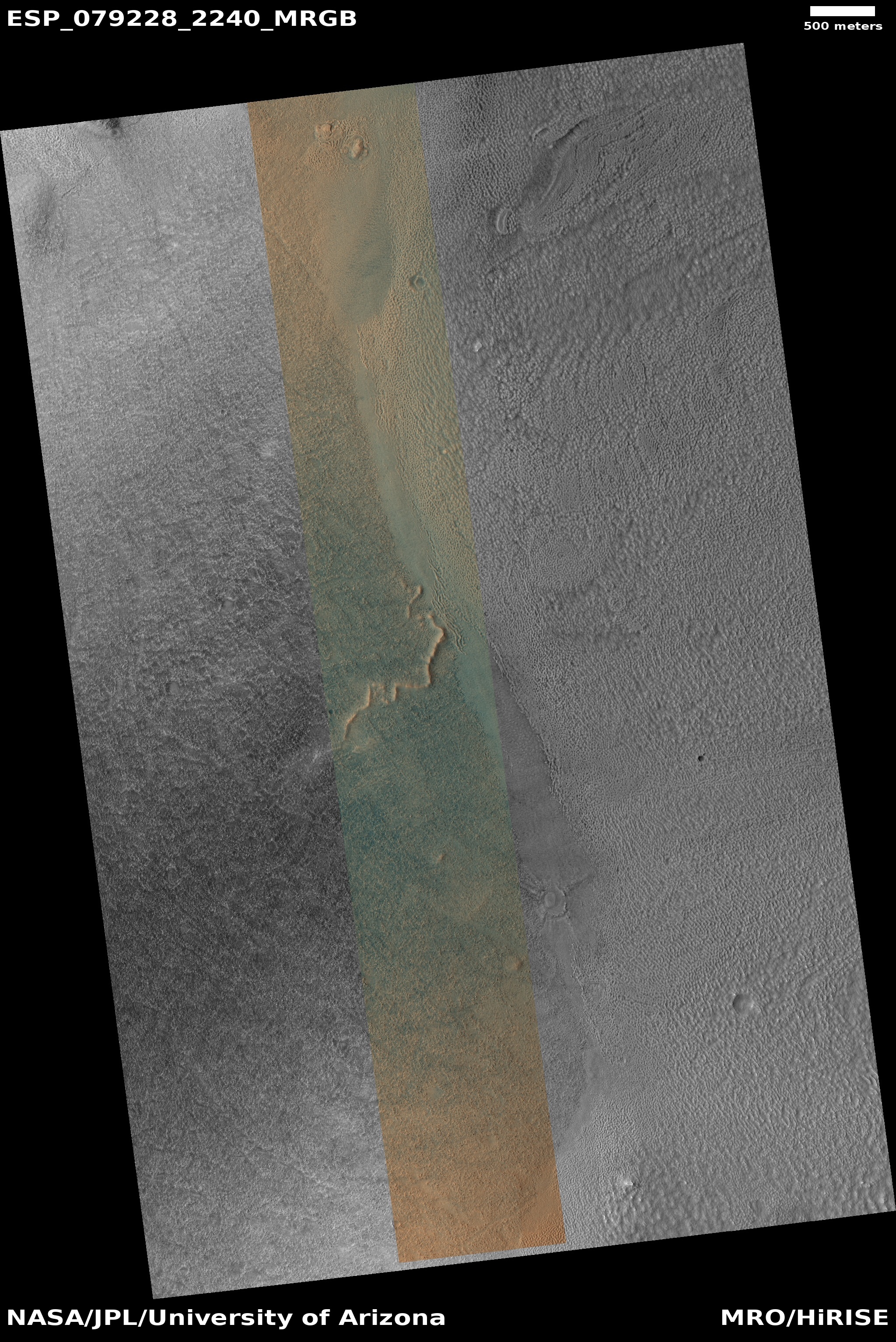
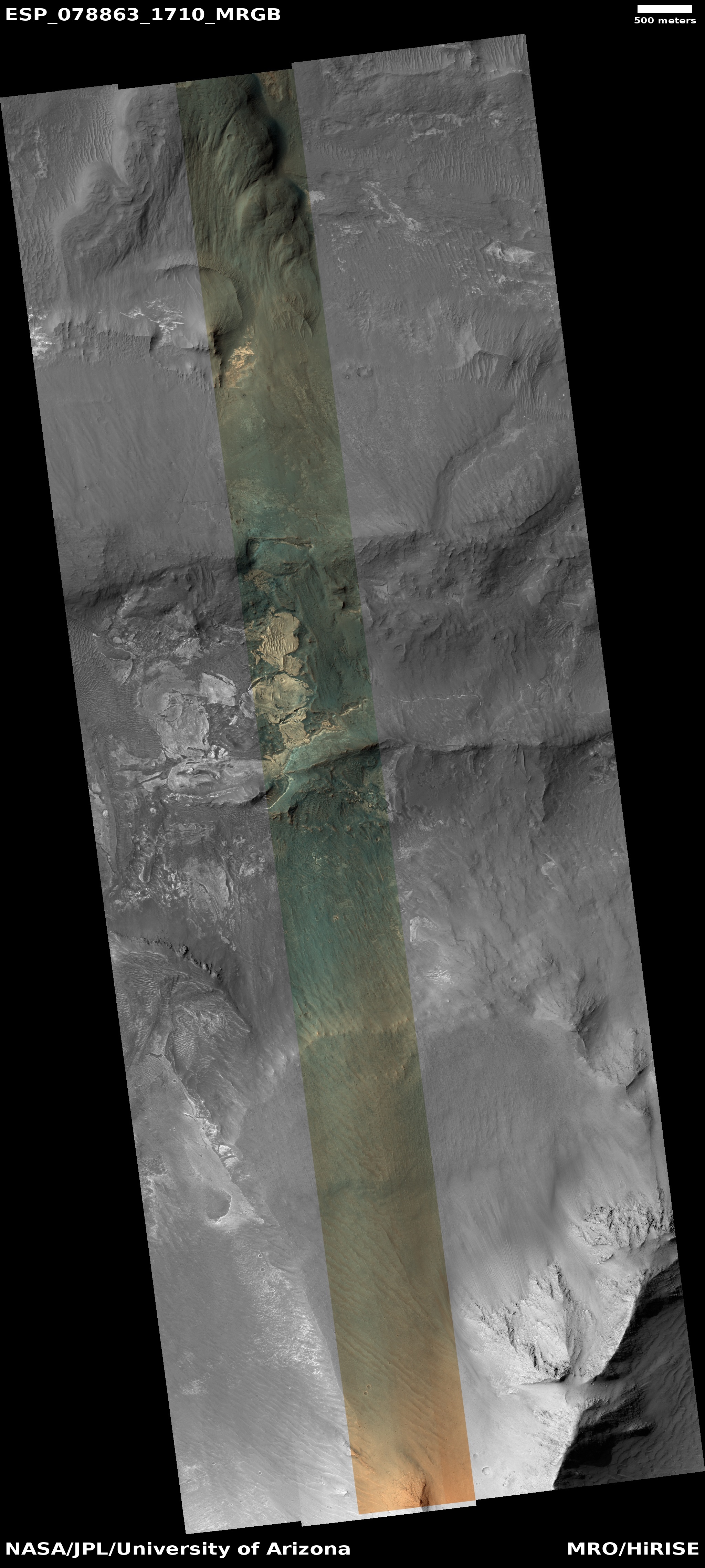
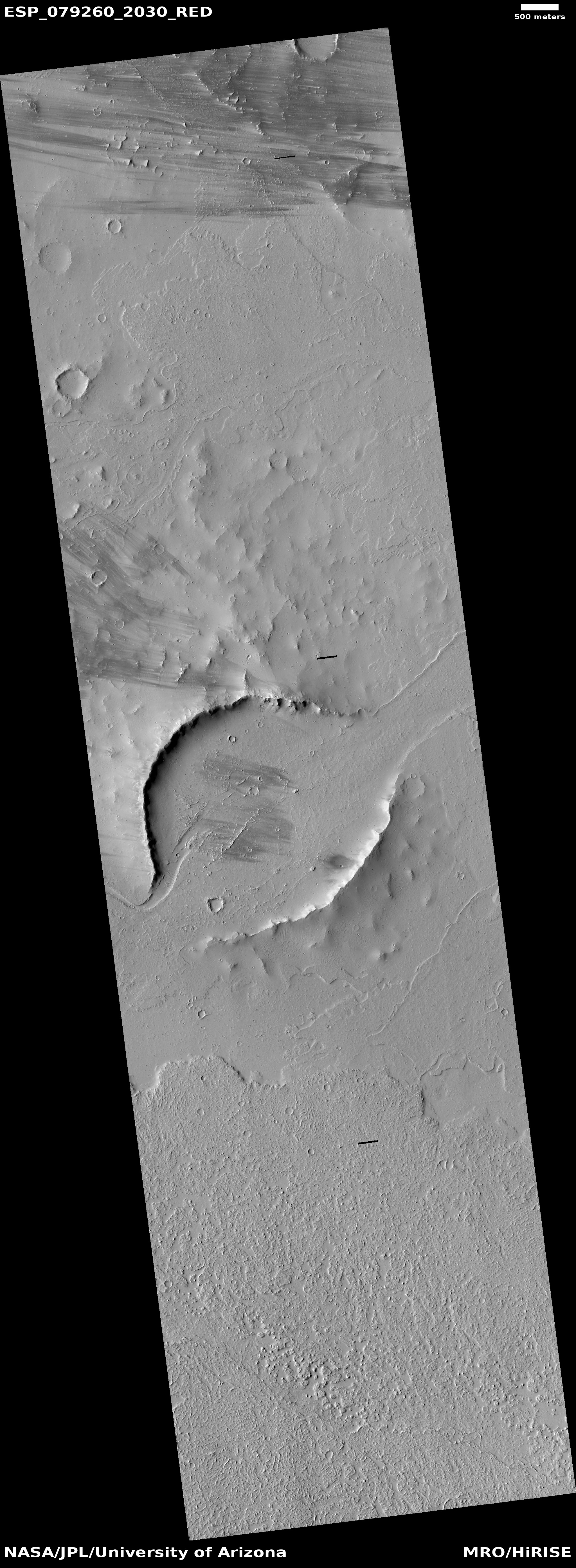
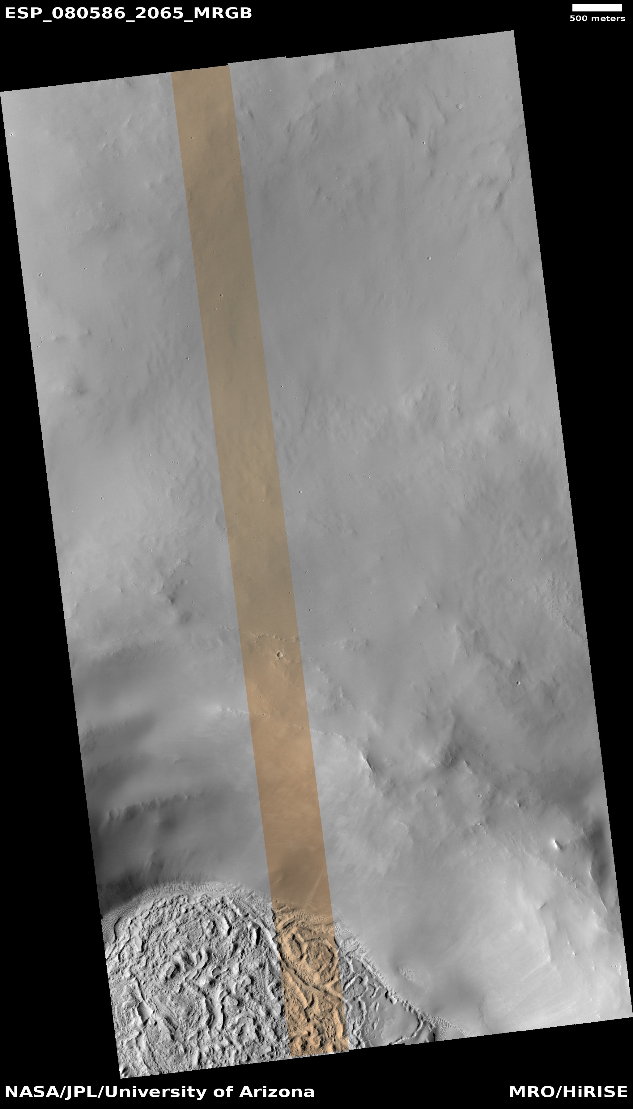
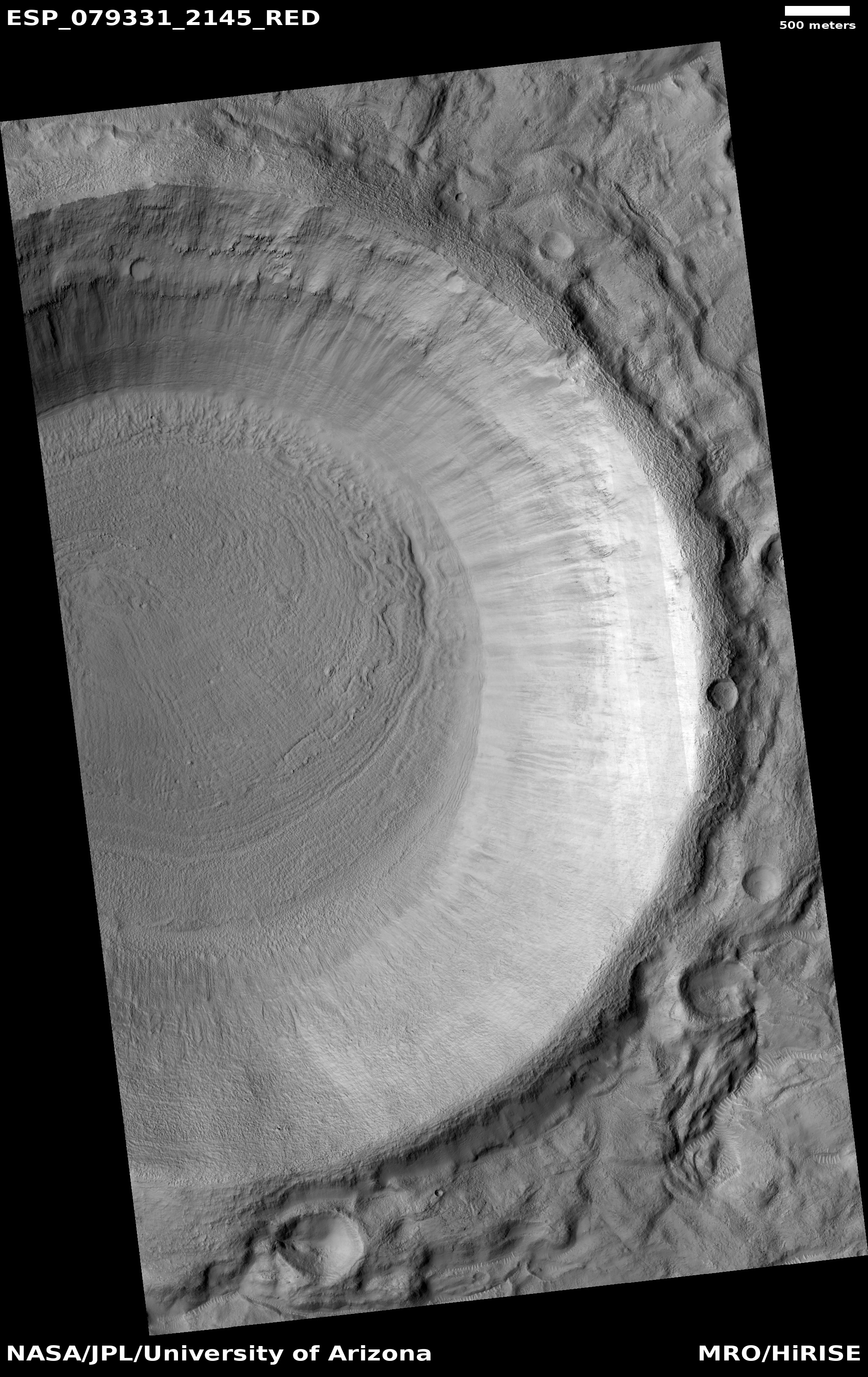
Time for another cool image showing the dramatically steep terrain of Valles Marineris on Mars, the largest known canyon in the solar system. The picture to the right, cropped, reduced, and enhanced to post here, was taken on October 31, 2023 by the high resolution camera on Mars Reconnaissance Orbiter (MRO).
The scientists rightly label this picture “Steep Slopes in West Melas Chasma”. The red dot marks the high point on this ridgeline. The green dot at the upper left marks the lowest point in the picture, about 4,800 feet below the peak. The blue dot on the right edge marks the low point on the ridge’s eastern flank, about 4,600 feet below the peak. The cliff to the east of the peak drops quickly about 1,300 feet in less than a mile.
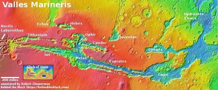
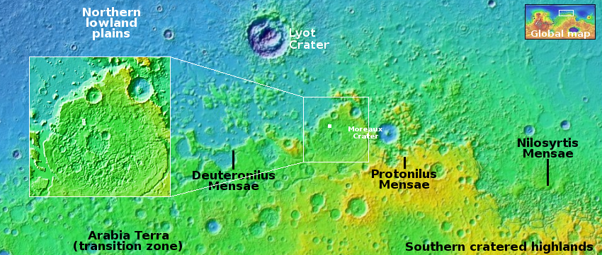
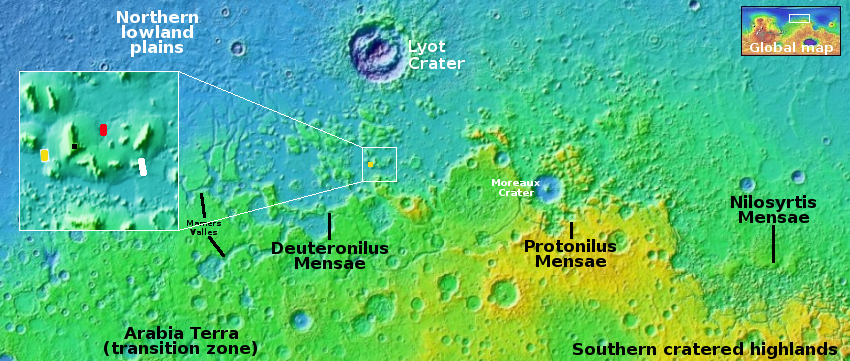
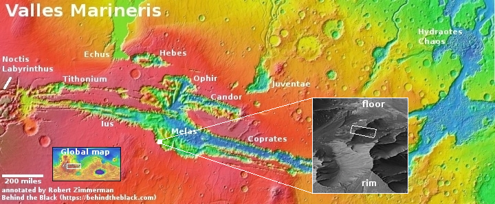
On the overview map above, the white dot marks the location. The inset is an oblique view, created from a global mosaic of MRO’s context camera images, with the white rectangle indicating approximately the area covered by the picture above.
The immense scale of Valles Marineris must once again be noted. The elevations in this picture are comparable to the descent you make hiking down from the South Rim of the Grand Canyon. They pale however when compared to Valles Marineris. In the inset I have indicated the rim and floor of Valles Marineris in this part of the canyon. The elevation distance between the two is 18,000 feet.
In other words, the canyon to the east of this ridge is quite comparable in size to the Earth’s Grand Canyon, and it is hardly noticeable within the larger canyon of Valles Marineris.