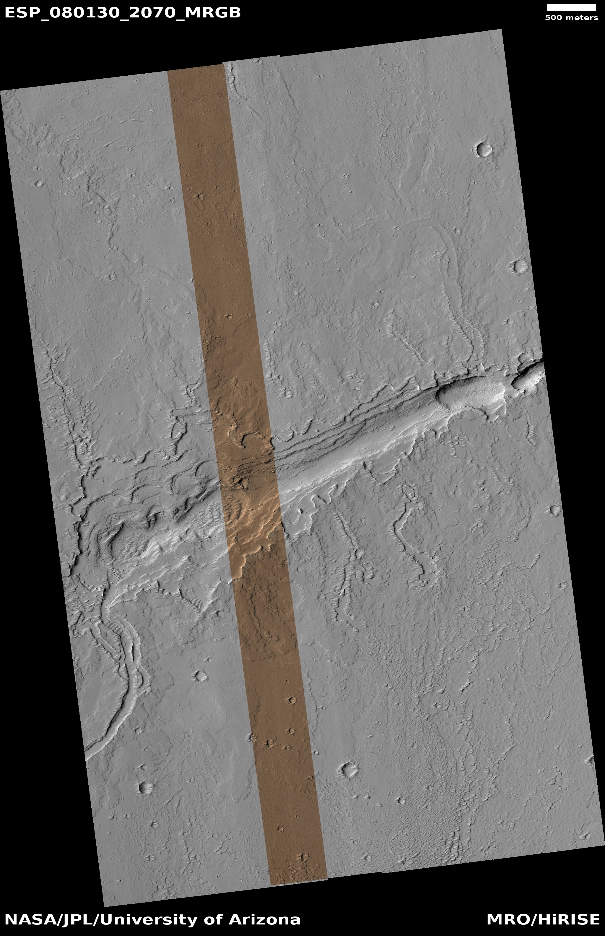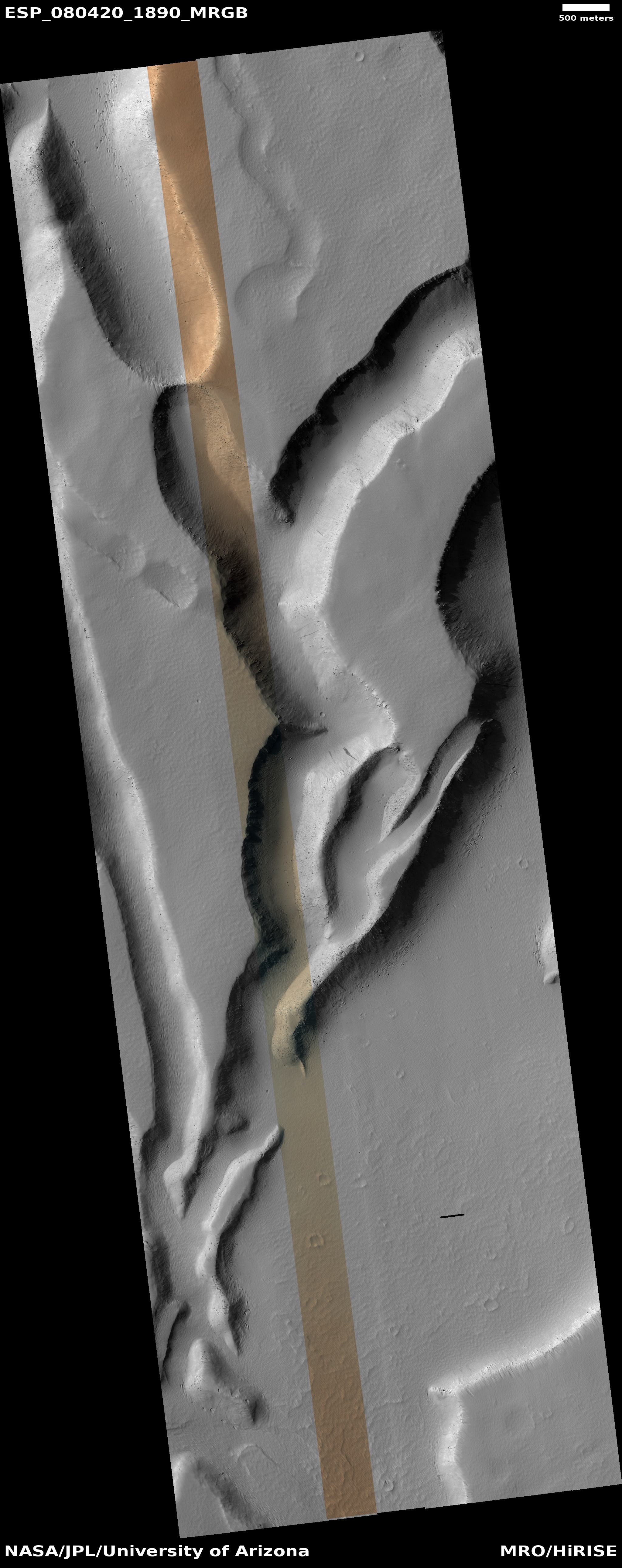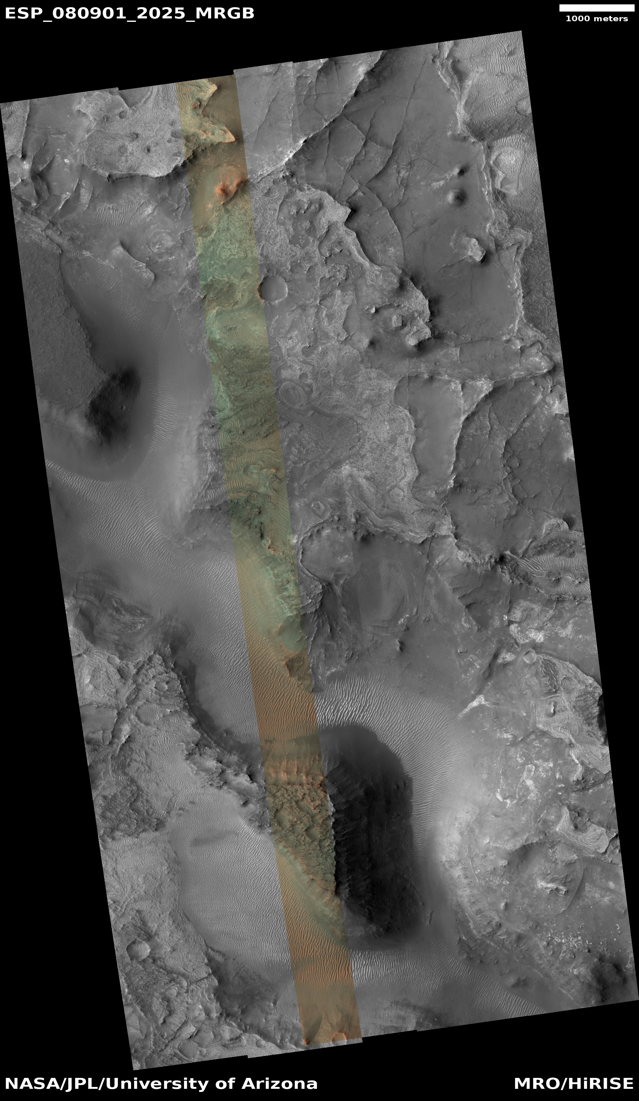
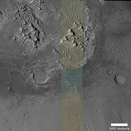
Click for original image.
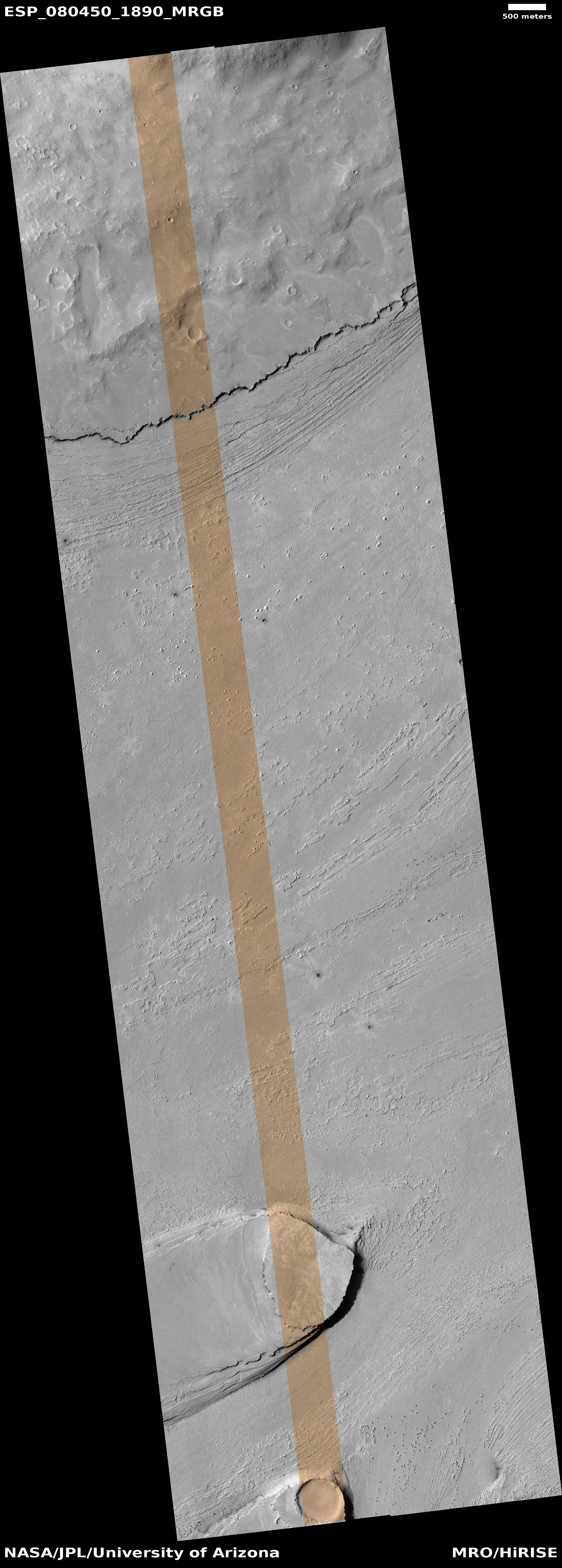
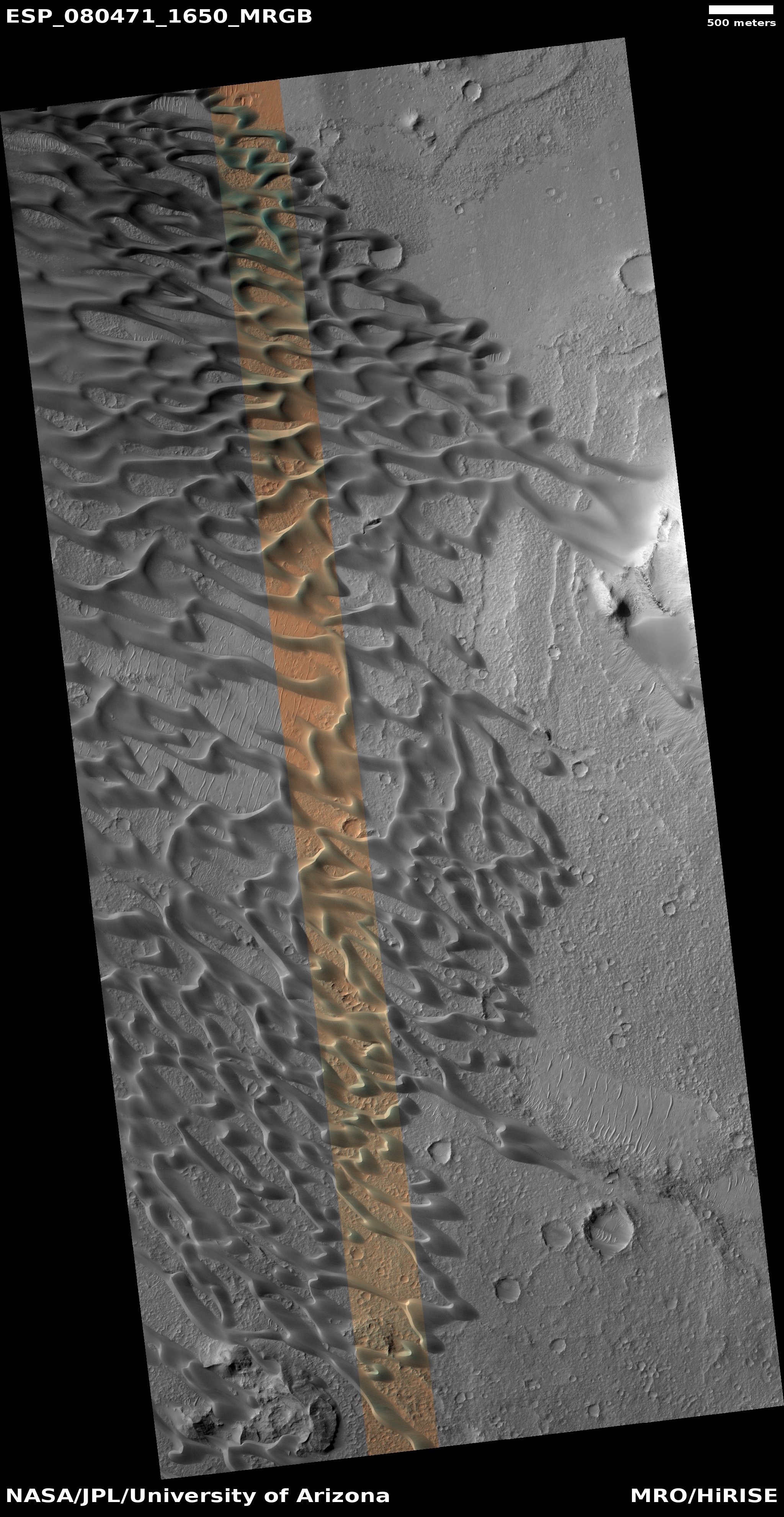
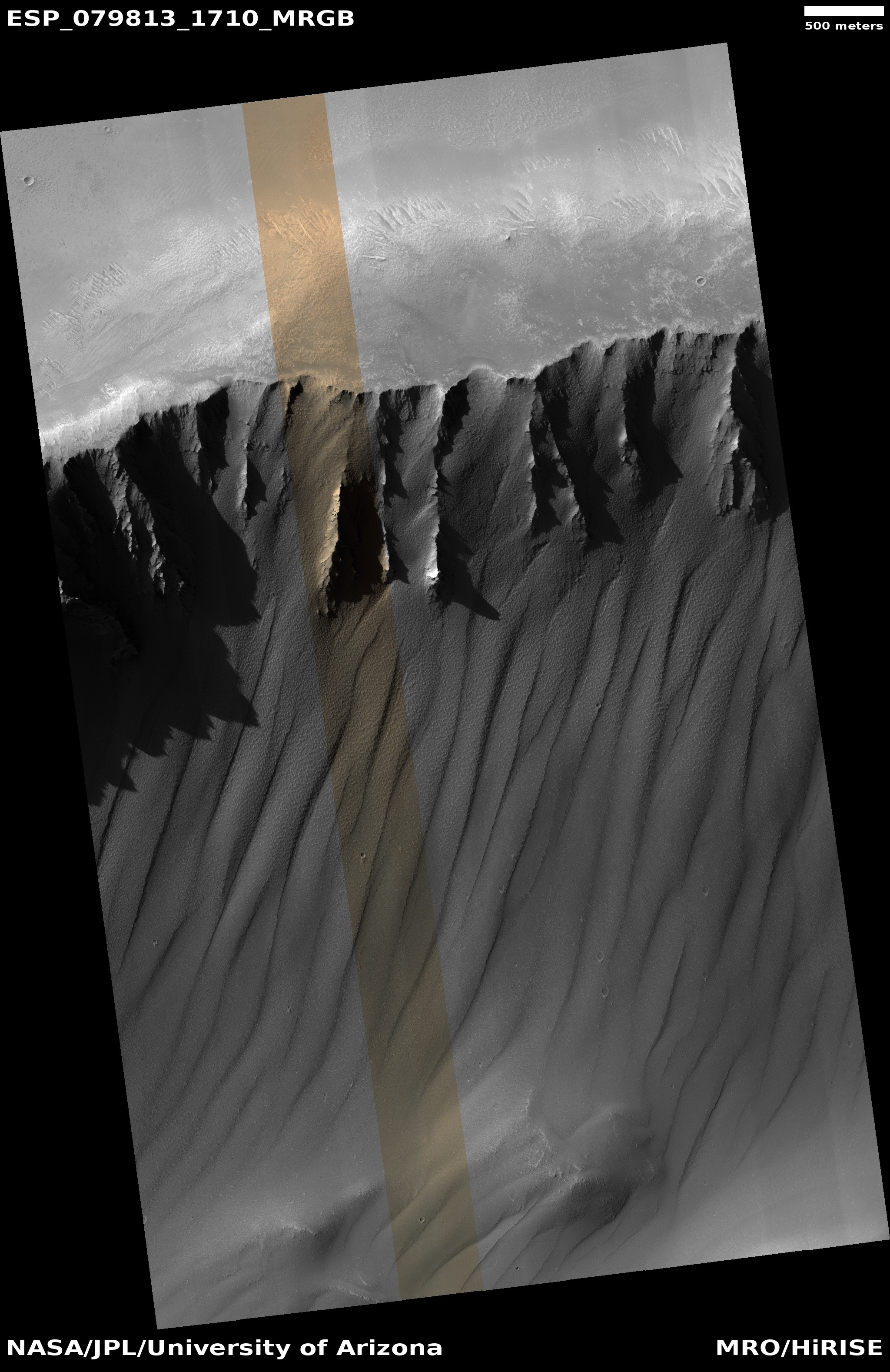
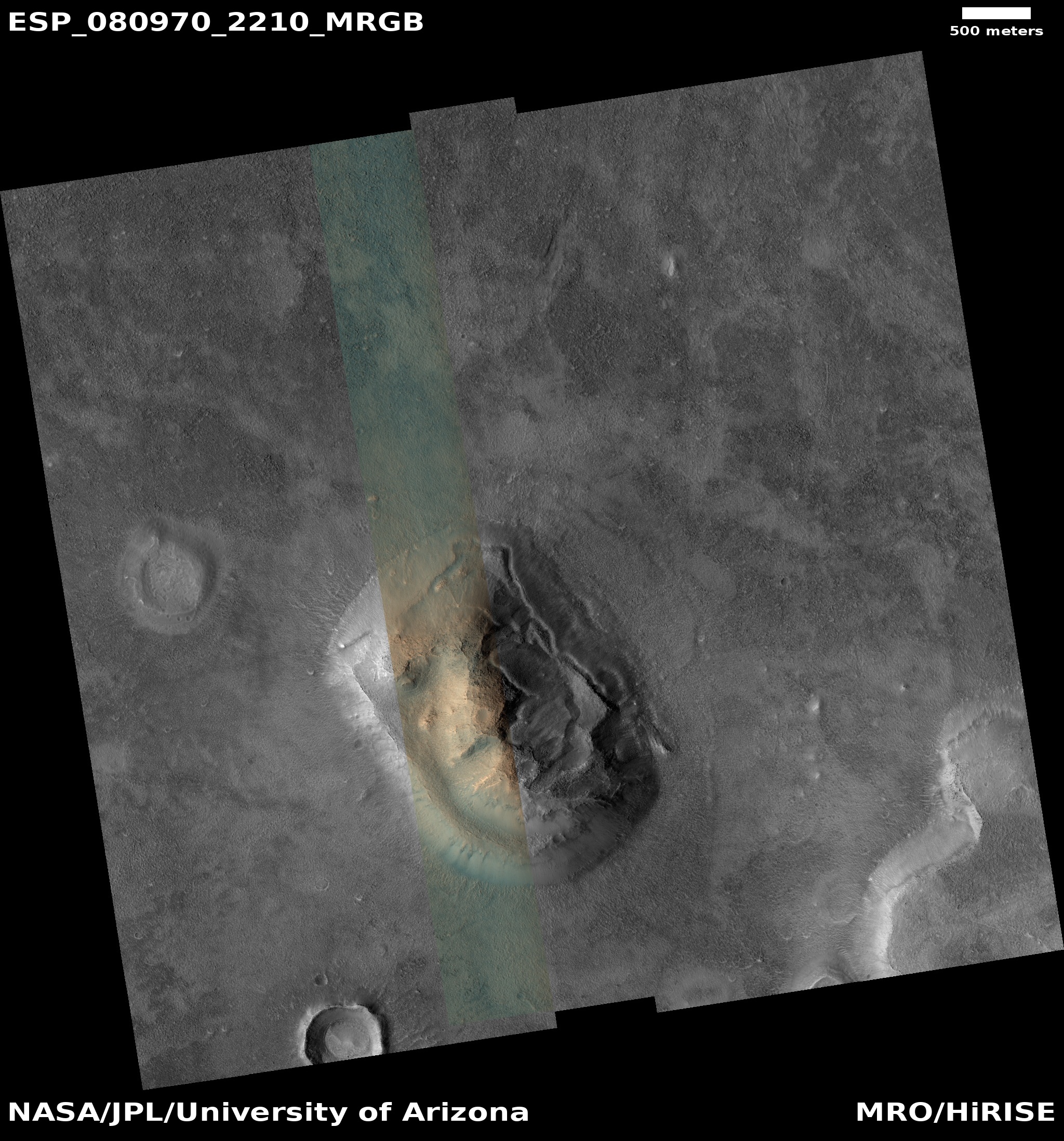
Cool image time! The picture to the right, rotated, cropped, reduced, and sharpened to post here, was taken on October 21, 2023 by the high resolution camera on Mars Reconnaissance Orbiter (MRO).
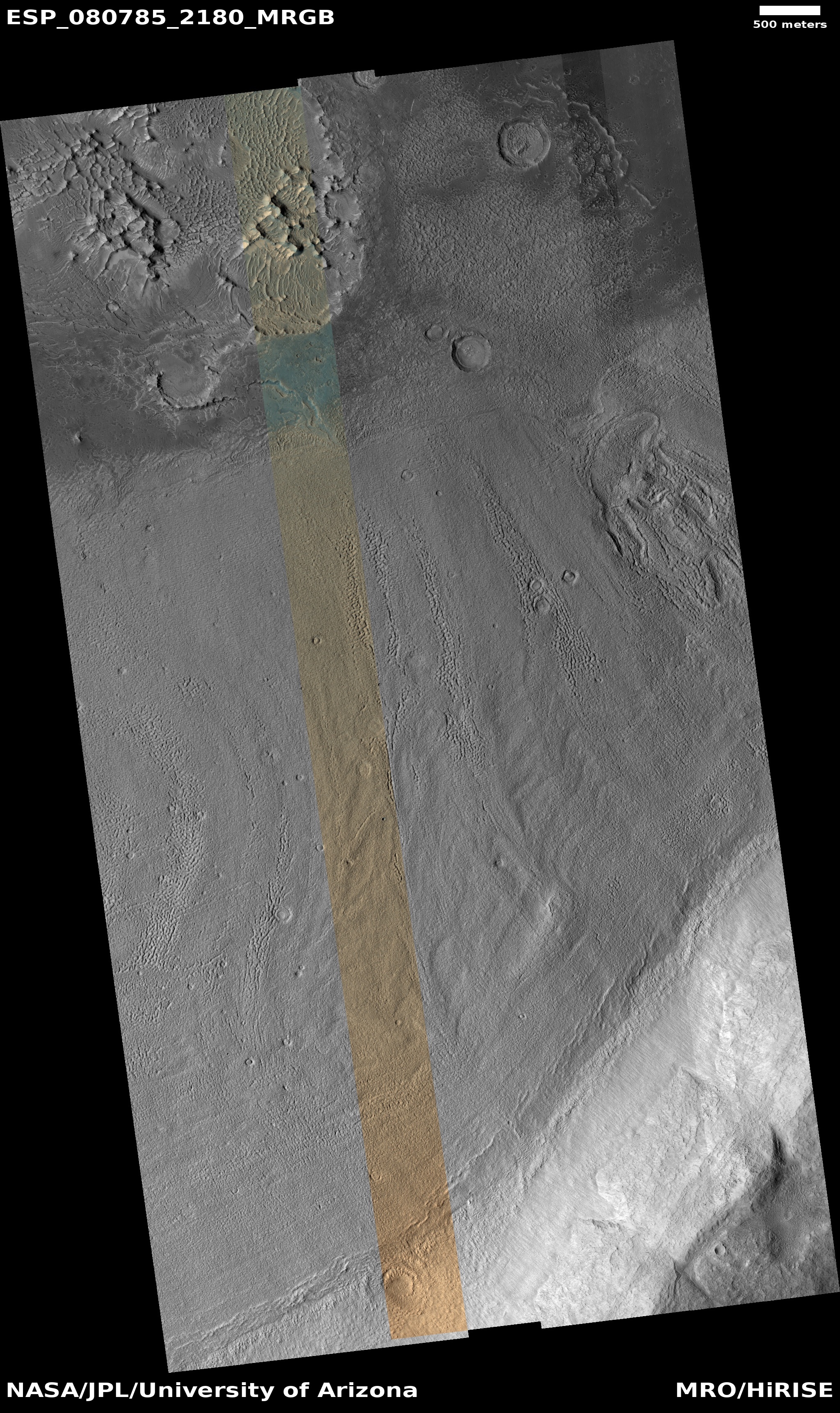
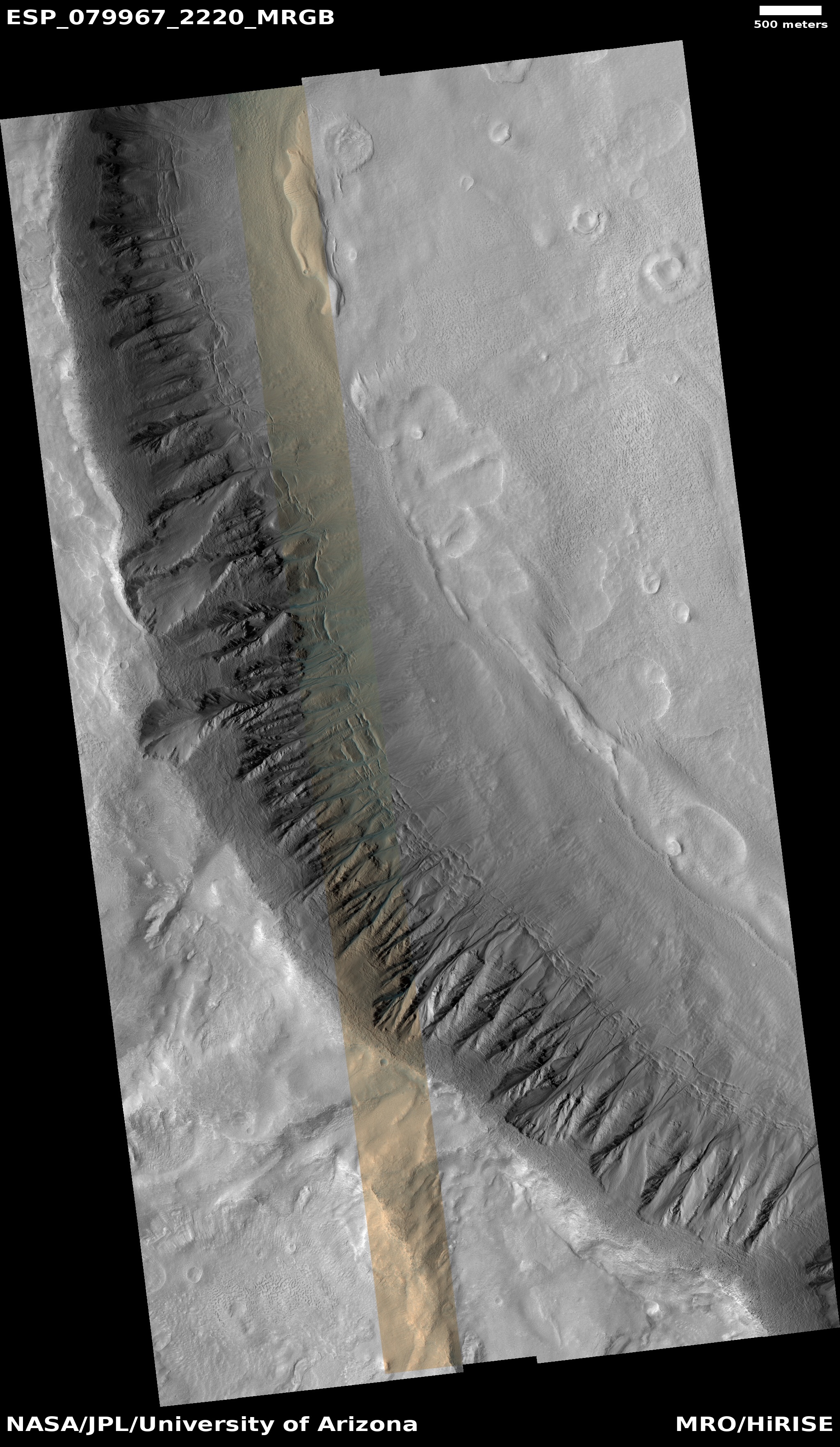
The science team labels this “patterned ground.” I see instead a whole range of inexplicable Martian geological features that, while each has been documented previously, each remains puzzling as to its formation process.
First there is the stucco-like peaks of all sizes on the upper left. This surface really looks like it had been wet plaster covered with Saran Wrap that had its peaks pulled up when that wrap was pulled off quickly.
Then there is brain terrain on the right. Always associated with glacier features on Mars, these convolutions are unique to Mars and as yet not entirely understood.
Next there is the circular arc on the middle left. It appears to be the remains of an impact crater now filled partly, but if so why has its northern rim disappeared so completely?
If you look close at the image above as well as the full image, you will find other mysterious features as well.
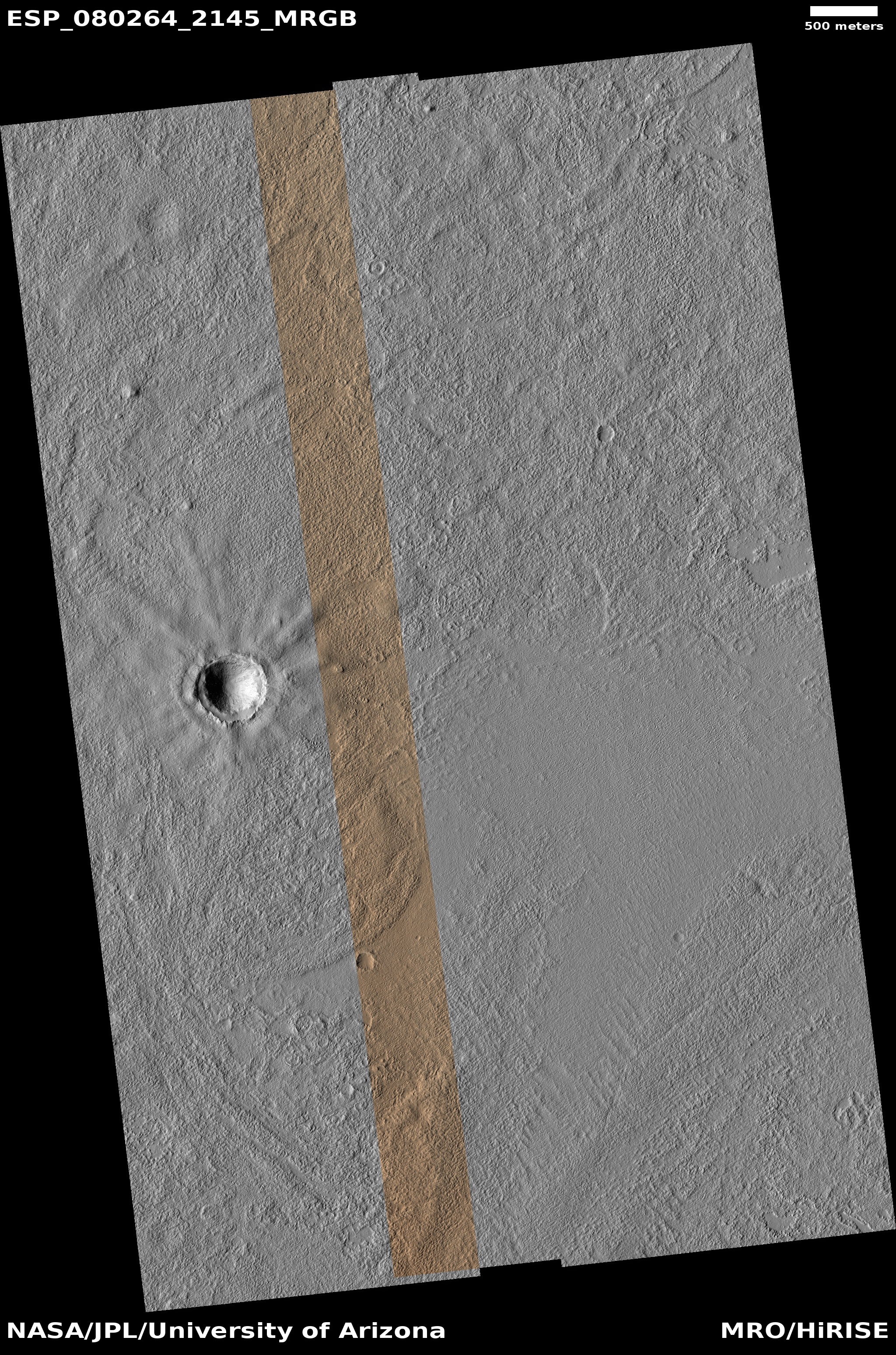
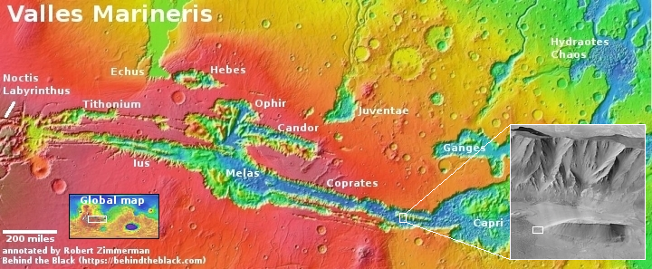
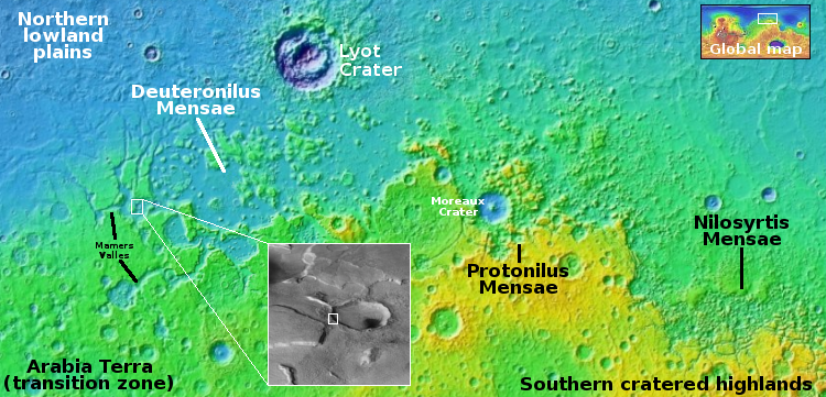
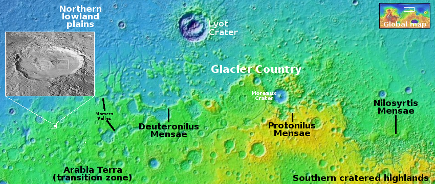
The location is the white dot on the overview map above. The rectangle in the inset shows the area covered by this picture, part of the floor of an unnamed eighteen-mile-wide and one-mile deep crater. The glacial material that appears to fill its interior as well as the splash apron that surrounds it all suggest the ground here is impregnated with water ice. Located as it is on the western end of the 2,000-mile-long north mid-latitude strip I dub glacier country — where practically every image shows glacial features — this conclusion is not surprising.
In fact, this photo illustrates well the alieness of Mars. We understand glaciers and ice, but on Mars, with its very cold temperatures, one-third Earth gravity, and thin atmosphere, those glaciers and ice are able to do things that we don’t yet understand. Untangling these geological processes will take decades of work, and likely will not be completed until people can walk the Martian surface and study it up close.
And won’t that be fun?