
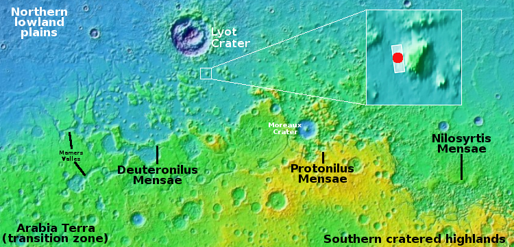
Visible ice layers in a crater in the lower mid-latitudes of Mars?
Click for original image. For the original color image, go here.
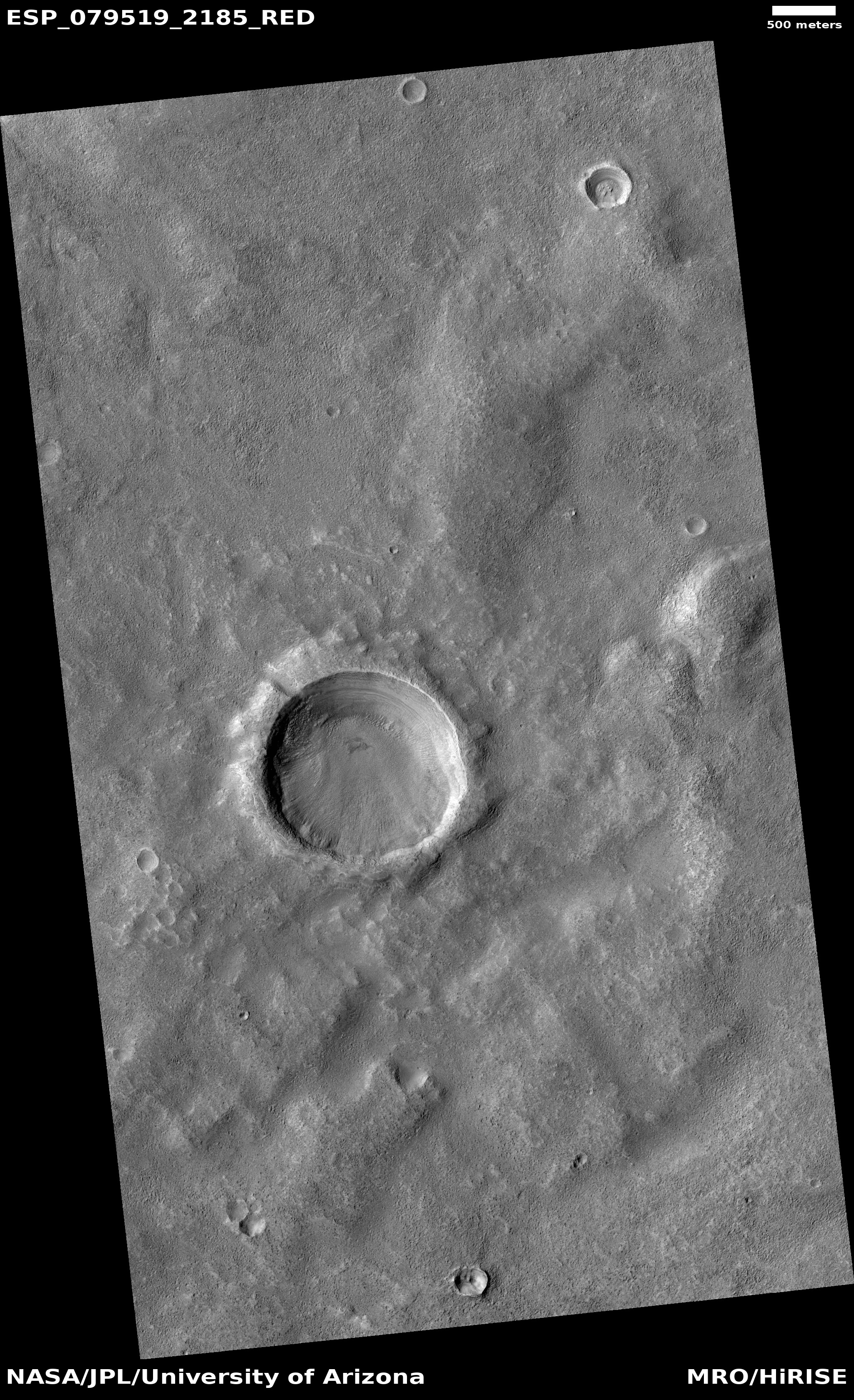
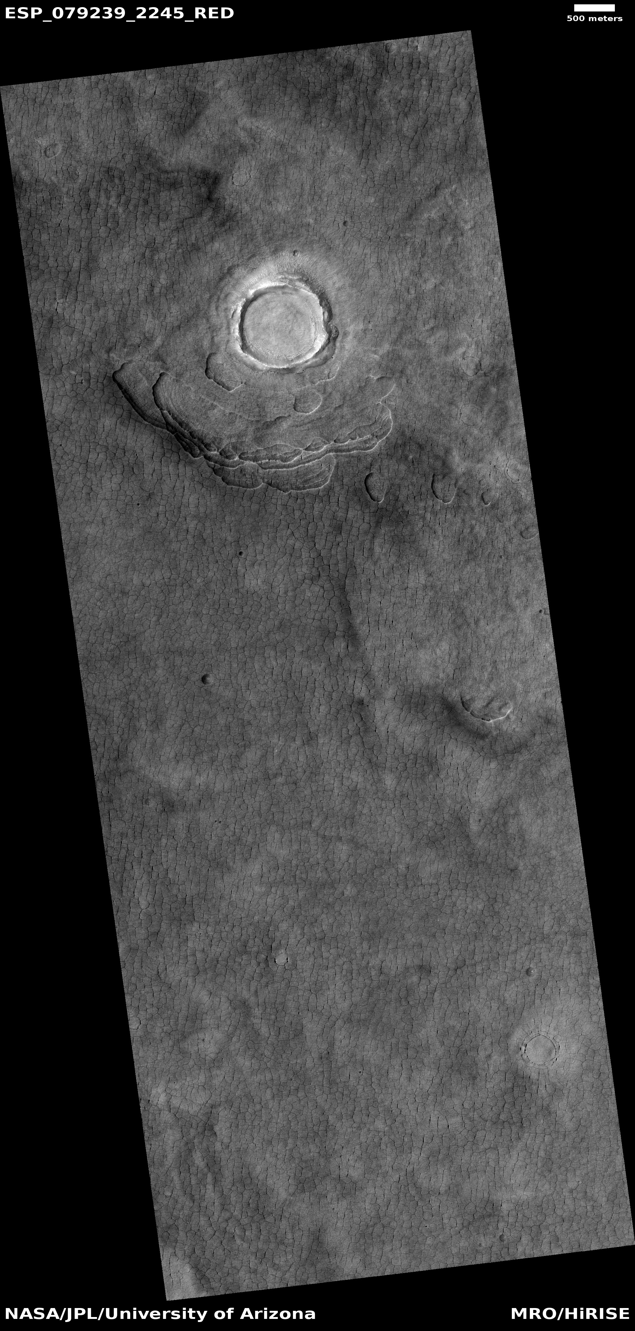
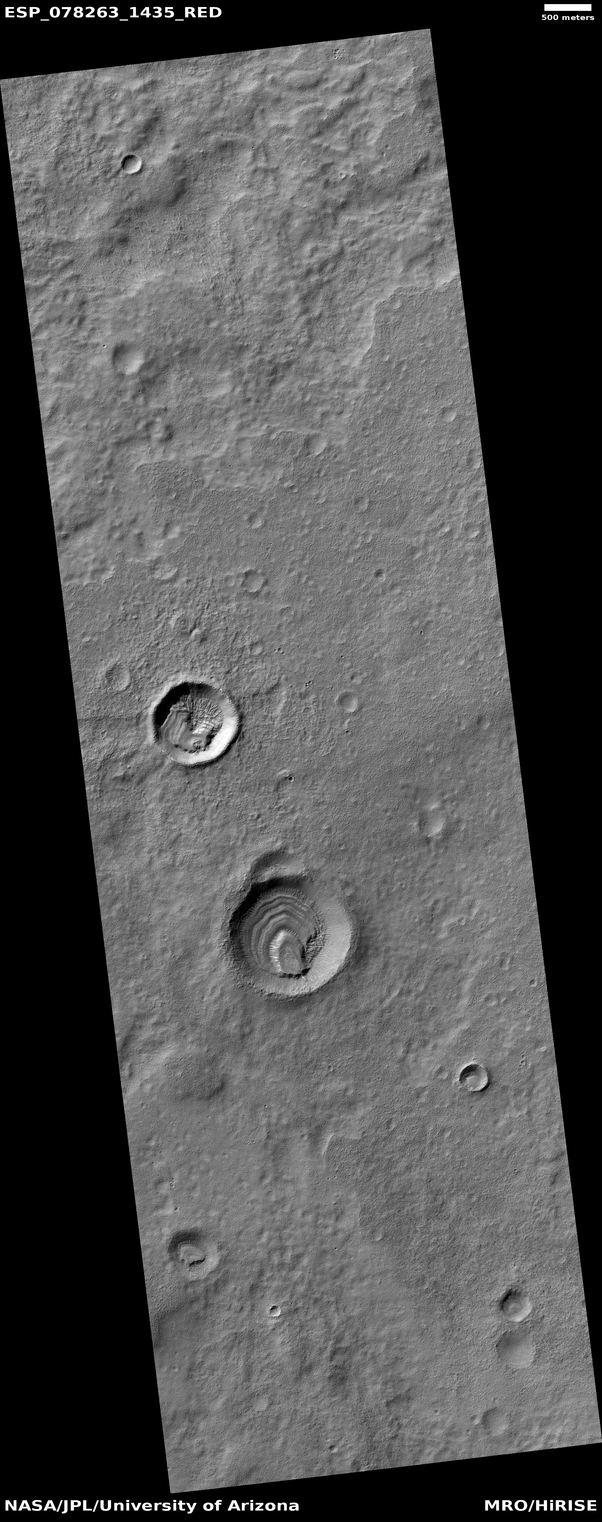
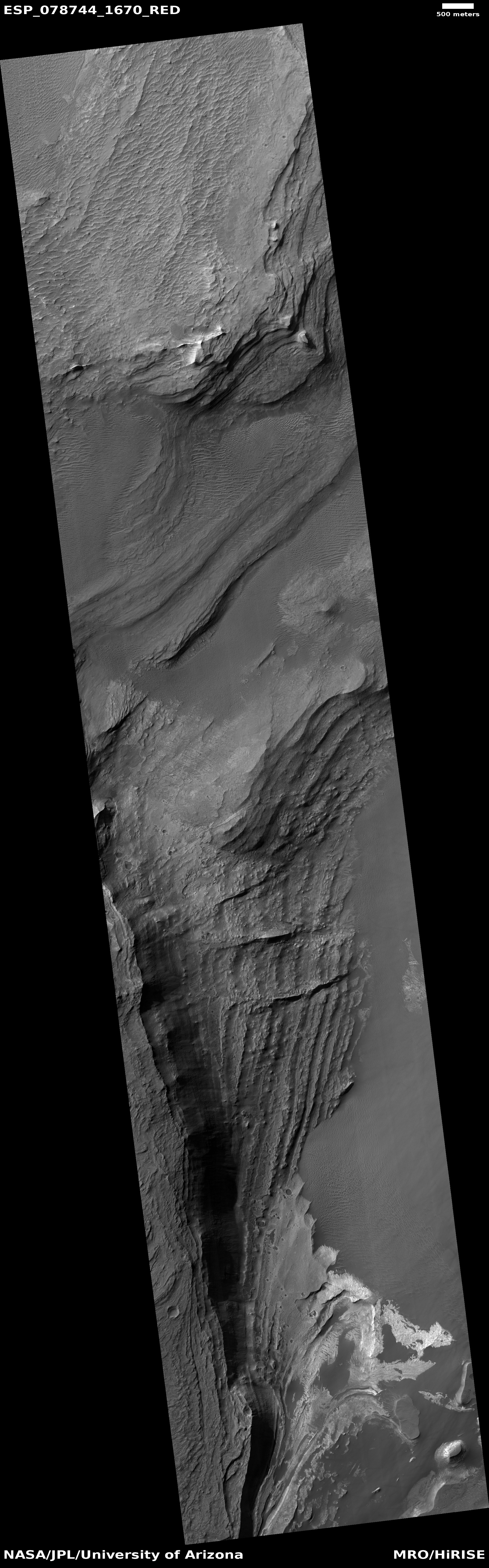
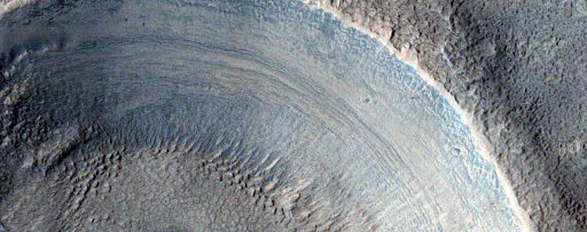
Cool image time! The picture to the right, cropped, reduced, and sharpened to post here, was taken on July 14, 2023 by the high resolution camera on Mars Reconnaissance Orbiter (MRO), and shows what appear to be horizontal layers in the inner wall of a small one-mile-wide and 150-foot deep unnamed crater on Mars. I have included the color version below, zoomed in to make those layers and their colors very clear.
As I have not contacted the scientists who requested this picture, I can only guess at its purpose. My guess however relates to those horizontal blue layers, reminiscent of the ice layers seen in Martian scarps at the high latitudes at about 50 to 55 degrees.
Normally it is rare to see horizontal layers like this in craters on Mars. Instead, what you usually see are downward-pointing gullies along with drainage and avalanche-type patterns, though the latter two might not be formed by either drainage or avalanches.
In this case these horizontal layers are clear and pronounced, making this crater a possibly important and somewhat unique find, based on its location.
» Read more


