
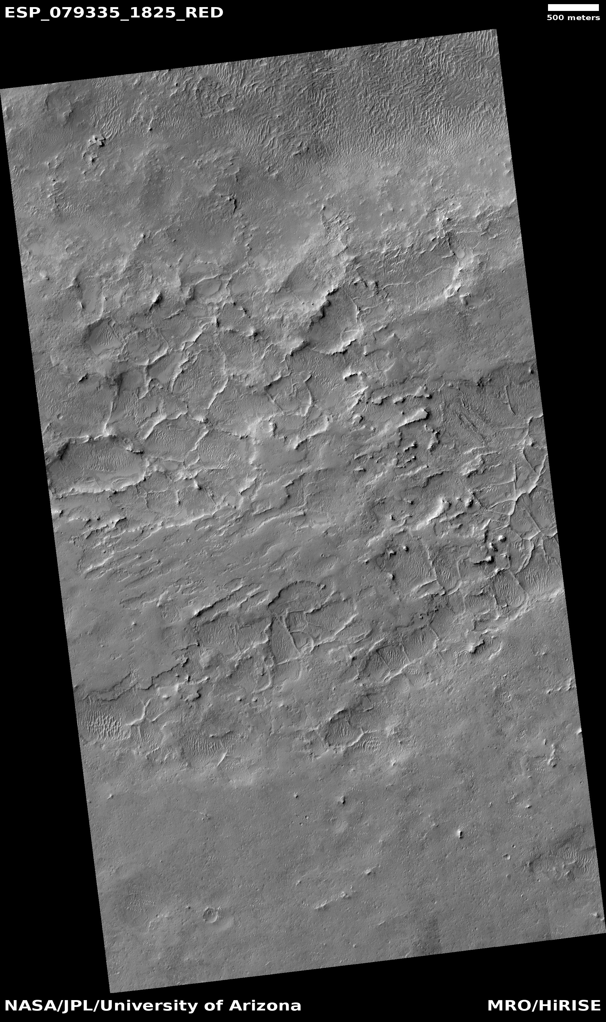
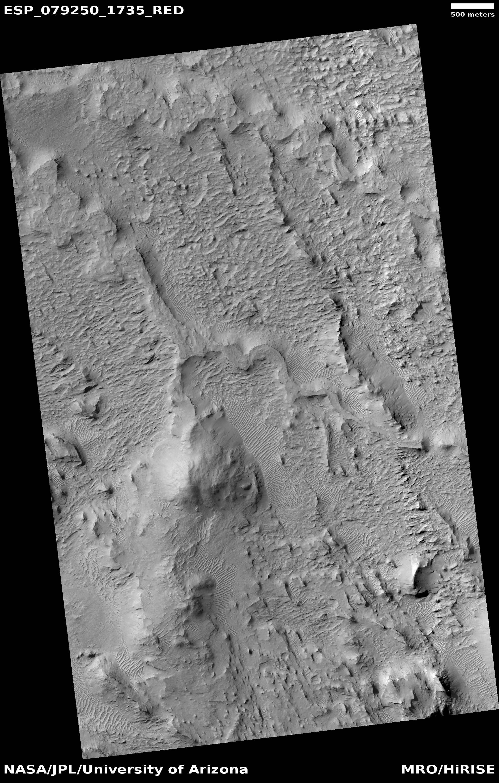
Perseverance looks ahead, beyond Jezero Crater
Click for original image.
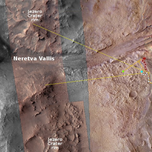
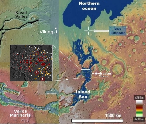
Click for interactive map.
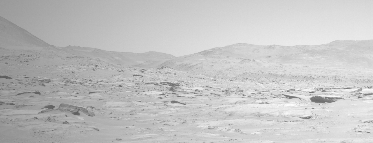
Cool image time! The panorama above, enhanced and annotated to post here, was taken on October 21, 2023 by one of the navigation cameras on the Mars rover Perseverance. As shown on the overview map to the right, it looks to the west, at the gap in the rim of Jezero crater, dubbed Neretva Vallis, through which the delta in the crater had once poured.
The blue dot marks the location of Perseverance. The green dot marks the location of Ingenuity, which suggests it is visible within the panorama. I have indicated two features on the panorama that could be the helicopter, but the resolution of this navigation camera image is not good enough to determine with certainty if either is the helicopter or simply a rock.
Beyond the gap can be seen several small mountains, a hint at the generally rough terrain that sits to the west of Jezero that Perseverance will eventually enter and explore. This region is also an area where orbital images suggest a wide variety of minerals, making it a potentially valuable mining location for future Martian settlers.
