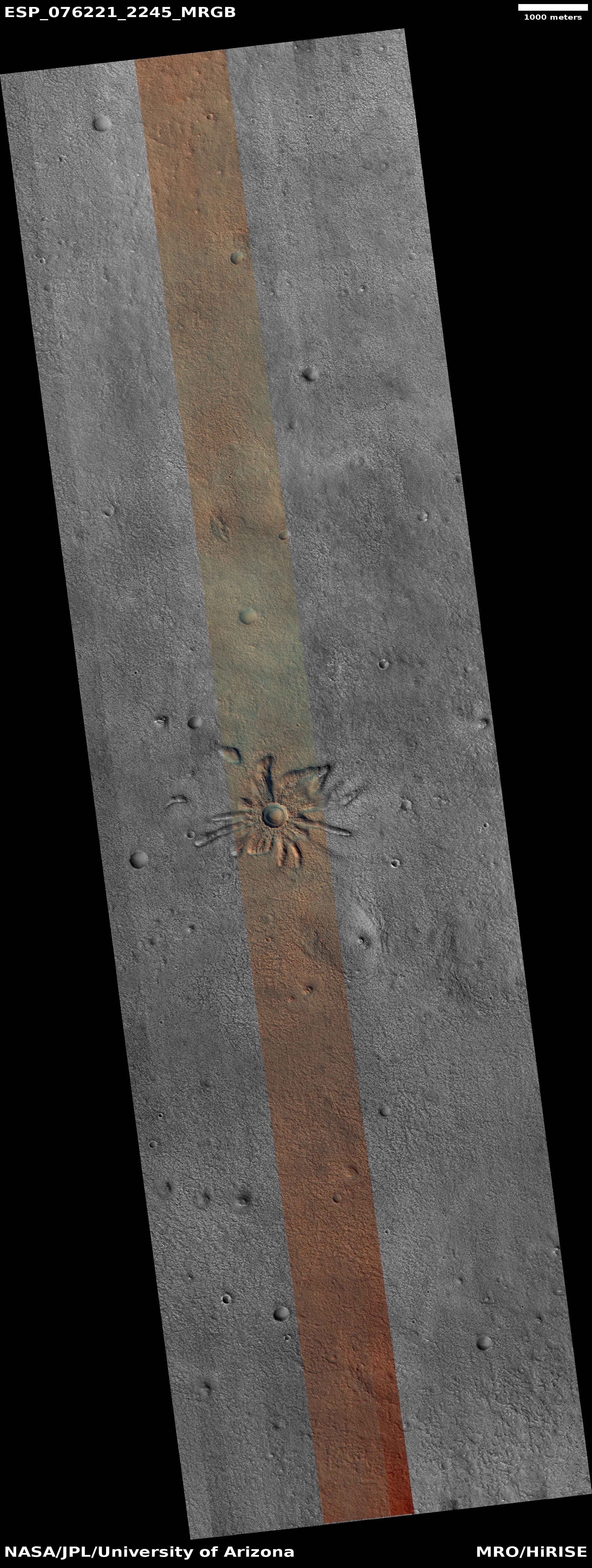
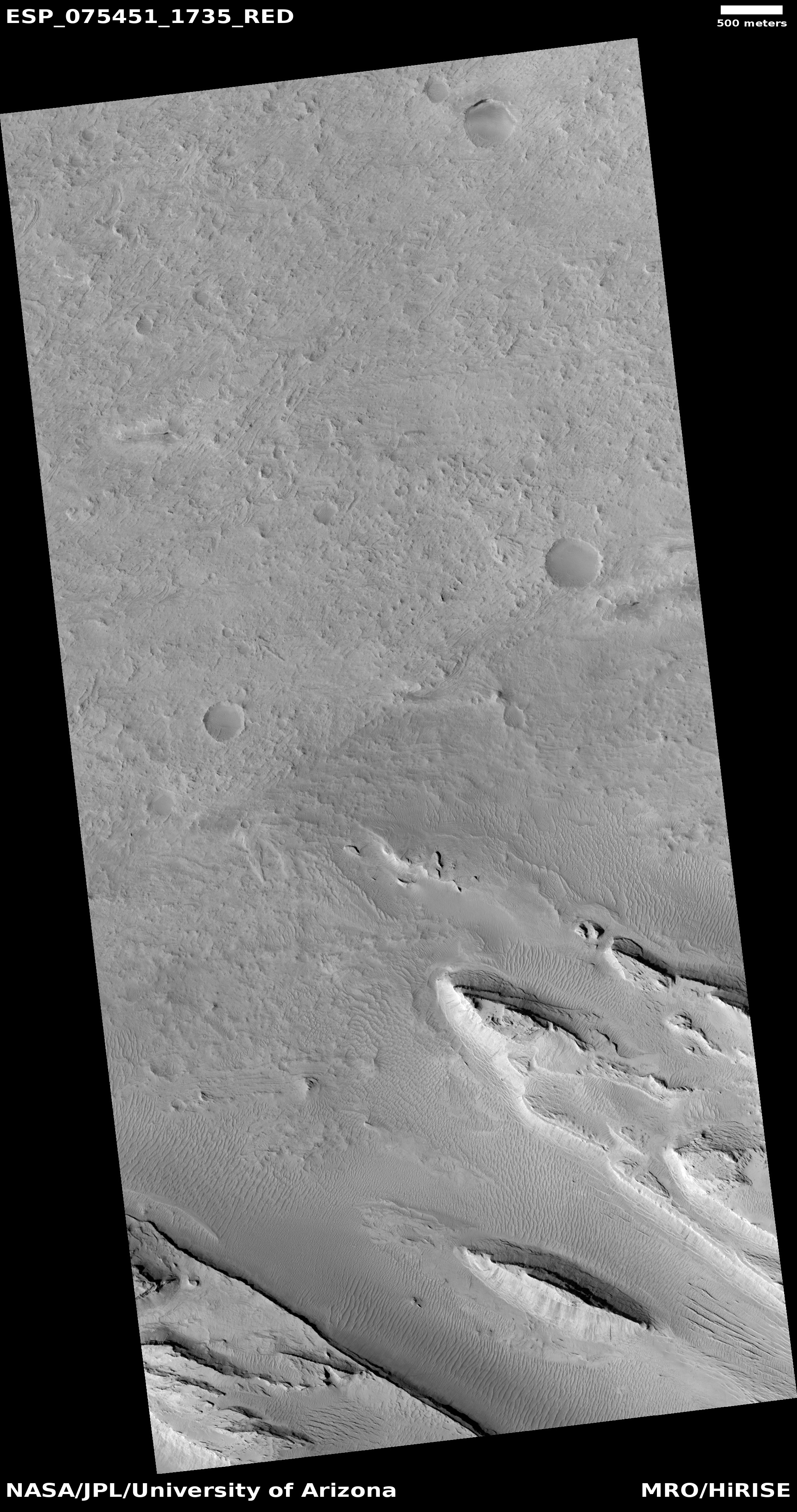
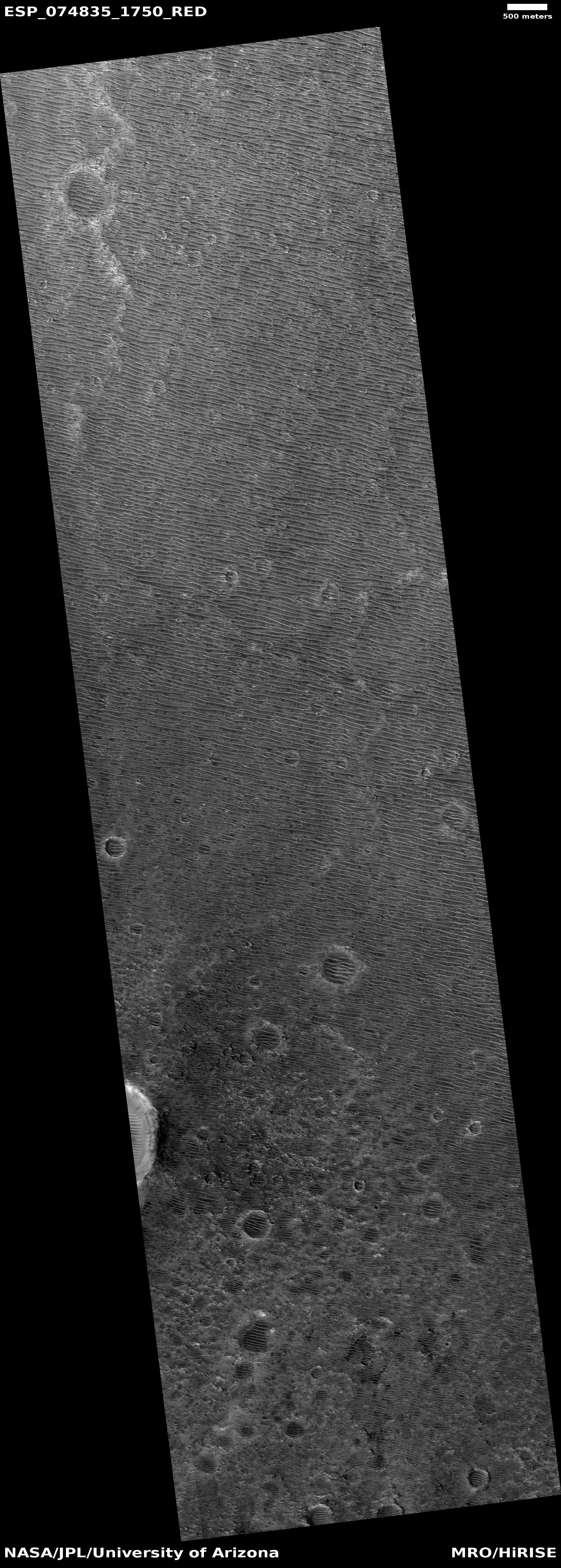
The featureless volcanic ash plains of Mars
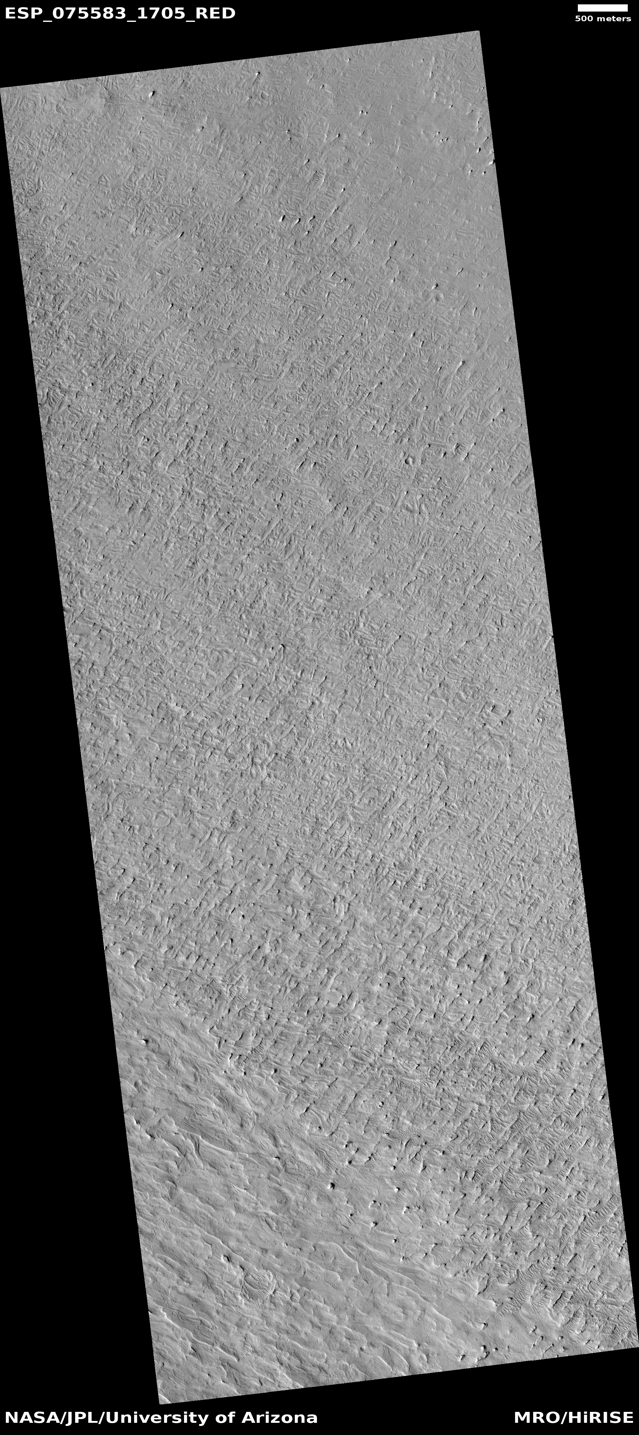
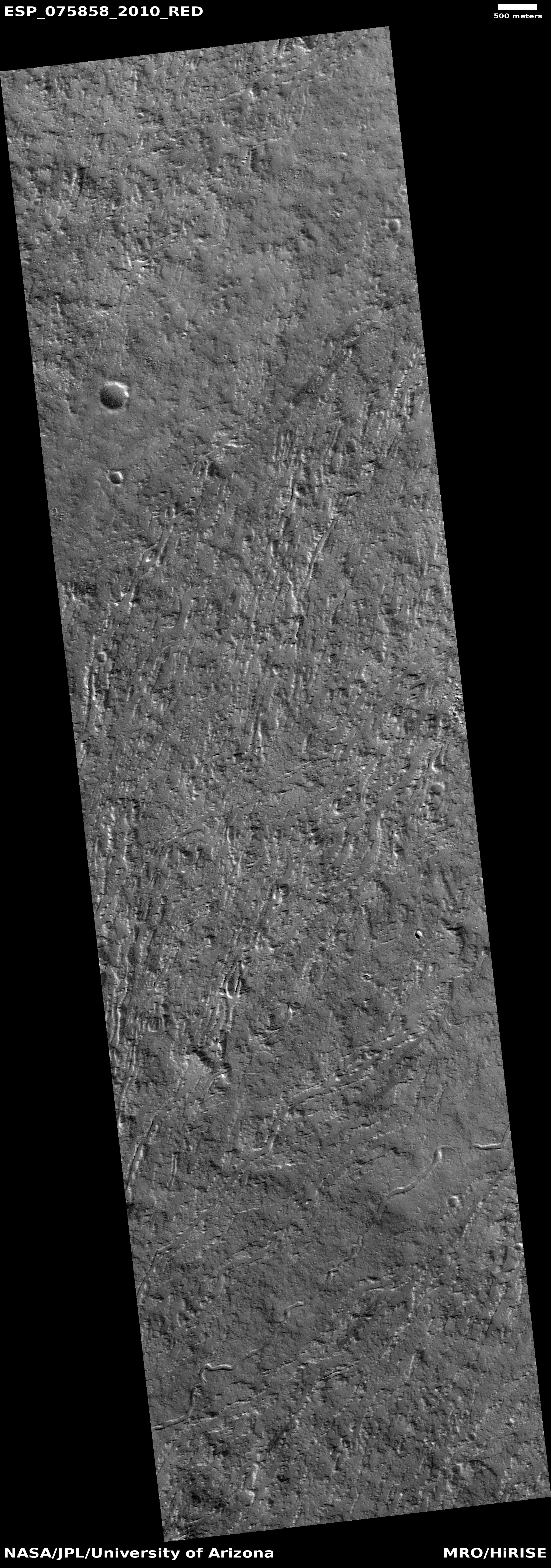
Cool image time! The photo to the right, cropped, reduced, and sharpened to post here, was taken on September 10, 2022 by the high resolution camera on Mars Reconnaissance Orbiter (MRO). It shows what appears to be a relatively featureless plain with a surface resembling stucco.
At -9 degrees south latitude, this is in the Martian dry equatorial regions. No ice or glaciers here. However, the consistent orientation of the knobs and hills suggest dunes and sand blown by prevailing winds, and that guess holds some truth. This location is deep within the Medusae Fossae Formation, the largest volcanic ash deposit on Mars, covering an area about as big as India, and believed to be the source of most of the red planet’s dust.
We are thus looking at thick layer of ash, its surface shaped over eons by the winds of Mars’ thin atmosphere.
» Read more