Isidis Basin, on whose margin Perseverance will roam

Pedestal craters in Isidis Basin
Click for full image.

Overview map

Today’s cool image to the right, cropped and reduced to post here, highlights the floor of one of Mars’ largest basins, dubbed Isidis Planitia, and located at the transition zone between the planet’s northern lowland plains and the southern cratered highlands.

The overview map below of Isidis Basin provides some context. The white box shows where this particular image is located. Jezero Crater, indicated by the red circle (which is also about the size of the crater), is where the rover Perseverance is going to land and roam come February 2021, should all go well. For scale, Isidis is about the size of the eastern half of the United States. If Chicago was located at Jezero Crater, Baltimore would be on the basin’s eastern edge, at around 4 o’clock.

This particular section of the full photo, taken on April 5, 2020 by the high resolution camera on Mars Reconnaissance Orbiter (MRO), shows many features very typical of the floor of Isidis Basin, which also immediately reveal a great deal about its possible history.

In this small snippet we can see what at first glance appear to be pedestal craters standing up like mesas, with ordinary craters scattered about on that lower surrounding terrain. Clearly, if these are pedestal craters they had to have been created first, and then over a very long time erosion processes ate away at that plain, leaving these pedestals (which had become resistant to erosion because the impact had packed their material together and made it harder) behind as mesas.

Then, after this period of erosion was complete enough additional time was required for at least one or two rounds of cratering to occur, leaving behind the many more younger craters on the plain floor, many of which are now partly buried by dust and sand.

The problem is that these mesas are almost certainly not pedestal craters, despite their appearance. » Read more

New Horizons sees stellar parallax

New Horizons is now far enough away from Earth that its perspective of the universe shifts at least two nearby stars into slightly different positions than seen on Earth.

On April 22-23, the spacecraft turned its long-range telescopic camera to a pair of the closest stars, Proxima Centauri and Wolf 359, showing just how they appear in different places than we see from Earth. Scientists have long used this “parallax effect” – how a star appears to shift against its background when seen from different locations — to measure distances to stars.

An easy way to see parallax is to place one finger at arm’s length and watch it jump back and forth when you view it successively with each eye. Similarly, as Earth makes it way around the Sun, the stars shift their positions. But because even the nearest stars are hundreds of thousands of times farther away than the diameter of Earth’s orbit, the parallax shifts are tiny, and can only be measured with precise instrumentation. “No human eye can detect these shifts,” Stern said.

But when New Horizons images are paired with pictures of the same stars taken on the same dates by telescopes on Earth, the parallax shift is instantly visible. The combination yields a 3D view of the stars “floating” in front of their background star fields.

The resulting 3D image, available at the link, is very cool. Both stars clearly appear closer than the surrounding background stars, which of course is true as they are among the closest stars to the Sun.

India’s first manned mission faces delays, caused by COVID-19

The new colonial movement: According to ISRO officials, India’s first manned mission, Gaganyaan, might have to be delayed because of restrictions imposed due to the Wuhan flu panic.

Bengaluru-headquartered ISRO (Indian Space Research Organisation) had earlier said it has planned two trial flights without crew ahead of Gaganyaan — the first one around December 2020 and the second around July 2021.

“…there are some disturbances because of COVID, but still nothing is confirmed (about delay). We need to see, still we have got some six months time. We are trying to see if we can reach there,” a senior ISRO official told P T I. He added: “There may be slight up and down (in the schedule), but that will be known only when we do the complete evaluation…it is premature to say anything, because the team that is working (on the project) has not indicated (about delay).”

The manned flight is presently scheduled for 2022. This might change.

NASA confirms Webb launch delayed again

NASA officials yesterday confirmed that, due to the new work conditions and the lock down imposed by the Wuhan flu panic, the launch of the James Webb Space telescope will not occur in March 2021.

“We will not launch in March,” said Thomas Zurbuchen, the space agency’s associate administrator for science. “Absolutely we will not launch in March. That is not in the cards right now. That’s not because they did anything wrong. It’s not anyone’s fault or mismanagement.”

Zurbuchen made these comments at a virtual meeting of the National Academies’ Space Studies Board. He said the telescope was already cutting it close on its schedule before the COVID-19 pandemic struck the agency and that the virus had led to additional lost work time. “This team has stayed on its toes and pushed this telescope forward at the maximum speed possible,” he said. “But we’ve lost time. Instead of two shifts fully staffed, we could not do that for all the reasons that we talk about. Not everybody was available. There were positive cases here and there (in the surrounding area, not on site). And so, perhaps, we had only one shift.”

No new target date has been set, though the comments even hinted that they might not be able to do it in 2021.

Webb will cost 20 times more than originally budgeted ($500 million vs $10 billion) and is now more than a decade behind schedule. In the process, those overages and delays wiped out almost all of NASA’s other astronomy projects during the 2010s.

But don’t worry! Once Webb launches the task of wiping out more astronomy projects with overages and delays will be courageously taken up by NASA’s Roman Space Telescope (formerly WFIRST), already behind schedule and over budget, and it is still only in the design phase.

Astrobotic wins contract to land VIPER rover at Moon’s south pole

Capitalism in space: NASA today awarded the private company Astrobotic a $199 million contract to provide the lander that place place the agency’s VIPER rover down near Moon’s south pole.

The target date for the mission is late 2023, and is intended as a scouting mission for the Artemis manned landing to follow.

During its 100-Earth-day mission, the approximately 1,000-pound VIPER rover will roam several miles and use its four science instruments to sample various soil environments. Versions of its three water-hunting instruments are flying to the Moon on earlier CLPS lander deliveries in 2021 and 2022 to help test their performance on the lunar surface prior to VIPER’s mission. The rover also will have a drill to bore approximately 3 feet into the lunar surface.

The key to this mission continues to be NASA’s shift from building things to hiring others to build them. If Astrobotic is successfully, they will then be positioned to offer their lander design to others, since it belongs to them, not NASA.

Chinese launch and Rocket Lab scrub

Electron on launchpad, June 11, 2020

Yesterday China used its Long March 2C rocket to launch an ocean observation satellite, while also testing both grid fins and a revamped fairing. The goal of the grid fins is to control the first stage’s return to Earth so that it won’t crash on top of any homes. The fairing change is to hopefully lead to their capture and reuse sometime in the future.

Late today, or actually early on June 11th, Rocket Lab tried to do its twelve commercial launch, but after three launch tries the high winds won out and they had to scrub. The image to the right shows the Electron rocket on the launchpad. If you look close, you can see the wind whipping the LOX evaporating off the rocket.

The leaders in the 2020 launch race:

11 China
8 SpaceX
7 Russia
3 ULA

The U.S. continues to lead China 13 to 11 in the national rankings.

Fading Martian slope streaks

Fading Martian slope streaks
Click for full image.

Cool image time! I’ve covered the topic of the mysterious slope streaks on Mars previously in great detail (see here and here). Essentially they are generally dark streaks (but sometimes light) that appear randomly on slopes and then fade over time. Unlike recurring slope lineae, another changing streak found on Martian slopes, the coming and going of slope streaks is not tied to the seasons. They can appear at any time in the year, and will take several Martian years to fade away.

The image to the right, rotated, cropped, and reduced to post here, was taken by the high resolution camera on Mars Reconnaissance Orbiter (MRO) on March 26, 2020. It shows numerous slope streaks down the eastern interior rim of a crater in the transition zone between the northern lowlands and the southern cratered highlands in a region dubbed Arabia Terra.

Though I can find no previous high resolution image of this crater to measure any temporal changes, you can clearly see that this slope has experienced many streaks over time, with some darker than others. The different shades suggest that the lighter streaks are older and have faded, with the darker streaks more recent events.

At the moment there is no strong consensus on the causes of these streaks. As one science paper noted, “The processes that form slope streaks remain obscure. No proposed mechanism readily accounts for all of their observed characteristics and peculiarities.” We know they occur in equatorial regions and dusty locations, and that they are triggered by some disturbance at the topmost point of the streak, which then causes a chain reaction down the slope. Other than that, the facts are puzzling, and suggest that these streaks are a phenomenon wholly unique to Mars.

The crater itself, located at 24 degrees north latitude, has some other mysteries. The features on its floor, for instance, are very puzzling. Though suggestive of the buried glaciers found in many craters in the mid-latitudes, this crater is a bit too far south. Maybe its higher altitude allows for some ice to remain here? Then again, the features on that floor might have nothing to do with ice. Maybe we are looking at sand carved by wind? Or hardened mud that was once wet?

I am merely guessing, a dangerous thing to do when one’s knowledge is limited. Then again, it’s fun, so please join in with your own guesses.

India to give private space access to ISRO facilities

The new colonial movement: India’s government has announced that private commercial space companies will be given full and equal access to the facilities operated by its space agency, ISRO.

The private sector will be allowed to use ISRO’s facilities and assets and they will be provided a level-playing field in satellites, launches and space-based services, Union Minister Jitendra Singh said on Tuesday, days after the government announced opening up of the domain.

Future projects for planetary exploration and outer space travel will be open for the private sector, he added. ‘Private companies to be provided a level-playing field in satellites, launches and space-based services. Future projects for planetary exploration, outer space travel will be open for the private sector,’ he said in a statement.

If true, what this means is that if a private company builds its own rocket, it will be allowed to use ISRO’s launchpads to launch from. It also means that the government does not want ISRO to lord over those private companies.

Whether this will happen as intended however remains a question. In essence this is the same turf war between the private sector and a government-run industry that has been playing out in the U.S. Here, the private sector appears to be winning, mostly because of the effort of SpaceX. I am not sure what will happen in India, as they don’t yet have any companies like SpaceX to push the issue.

Parker successfully completes fifth solar fly-by

The Parker Solar Probe has signaled scientists that it has successfully completed its fifth solar fly-by without damage.

On June 9, 2020, NASA’s Parker Solar Probe signaled the success of its fifth close pass by the Sun, called perihelion, with a radio beacon tone. The spacecraft completed the fifth perihelion of its mission two days prior, flying within 11.6 million miles from the Sun’s surface, reaching a top speed of about 244,225 miles per hour, which matches the spacecraft’s own records for closest human-made object to the Sun and fastest human-made object, set during its fourth orbit on January 29.

Mission controllers at the Johns Hopkins Applied Physics Laboratory in Laurel, Maryland, received a “status A” beacon from the spacecraft at 4:40 p.m. EDT. Status A is the best of four possible status signals, and indicates that the spacecraft is operating nominally and the instrument suites are collecting science data. This beacon tone comes after a five-day period where communications with the spacecraft were not possible.

The data from this fly-by will arrive during the summer. Meanwhile, the spacecraft will next do a fly-by of Venus to slow it down further so that it can get even closer to the Sun on its next orbit.

NASA aiming for late July/early August Dragon crew return

According to statements made by NASA officials today, the agency is now targeting a late July to early August return date for the first manned Dragon.

Bob Behnken, one of the two Dragon astronauts, will likely do two spacewalks while on ISS to replace batteries on the stations main truss. In addition, they will do a number of tests of Dragon to check out its in-space long term operation.

Mission controllers planned to place the Dragon capsule into a hibernation mode, then wake up the ship’s systems to verify the spacecraft can perform its role as a quick-response lifeboat to scurry astronauts back to Earth in the event of an emergency. Mission managers are also checking data to monitor the status of the solar arrays.

It appears however that the biggest factor for determining the launch date will be weather conditions in the Gulf of Mexico. If they are good in late July mission managers might decide to return the astronauts earlier to take advantage of those conditions.

The next Dragon manned flight, carrying four astronauts, is planned in late August, thus giving NASA time to do a full assessment of this first demo flight before its launch.

OSIRIS-REx spots sun-caused erosion on Bennu

Rock on Bennu showing exfoliation
Click for full figure.

An analysis of images taken by OSIRIS-REx of the asteroid Bennu has allowed scientists to identify places where the changing temperatures from day to night has caused the surfaces of rocks to flake away, a process geologists label exfoliation.

The image on the right, cropped and reduced to post here, is from figure 1 in the paper. The yellow arrow points to a typical example of exfoliation, which is a process you can see on many rocks here on Earth.

Rocks expand when sunlight heats them during the day and contract as they cool down at night, causing stress that forms cracks that grow slowly over time. Scientists have thought for a while that thermal fracturing could be an important weathering process on airless objects like asteroids because many experience extreme temperature differences between day and night, compounding the stress. For example, daytime highs on Bennu can reach almost 127 degrees Celsius or about 260 degrees Fahrenheit, and nighttime lows plummet to about minus 73 degrees Celsius or nearly minus 100 degrees Fahrenheit. However, many of the telltale features of thermal fracturing are small, and before OSIRIS-REx got close to Bennu, the high-resolution imagery required to confirm thermal fracturing on asteroids didn’t exist.

The mission team found features consistent with thermal fracturing using the spacecraft’s OSIRIS-REx Camera Suite (OCAMS), which can see features on Bennu smaller than one centimeter (almost 0.4 inches). It found evidence of exfoliation, where thermal fracturing likely caused small, thin layers (1 – 10 centimeters) to flake off of boulder surfaces. The spacecraft also produced images of cracks running through boulders in a north-south direction, along the line of stress that would be produced by thermal fracturing on Bennu.

The typical erosion processes that can cause exfoliation (weather, gravity) are not possible on tiny Bennu, so the solution appears to rest with sunlight and sunlight alone.

This is not really a surprising result, but it is the first time it has been documented by data.

ULA on schedule for maiden flight of Vulcan in early 2021

Capitalism in space: According to ULA, the development program for its new Vulcan rocket remains on schedule, and will make its maiden flight in early 2021 as initially planned.

The launch will send Astrobotic’s privately built Peregrine lander to the Moon, carrying NASA science instruments.

The article provides a good overview not only of the status of construction, but also the political history that forced the development of Vulcan, that being the insistence by Congress that ULA stop using Russian engines in its rockets.

A global map of rockfalls on the Moon

A global map of the rockfalls found on the Moon
Click for full resolution image.

A review of more than two million Lunar Reconnaissance Orbiter (LRO) images of the Moon has allowed scientists to compile the first global map of lunar rockfalls.

The map on the right comes from the paper. From the press release:

The result is a map of the lunar surface between 80 degrees northern and southern latitude that shows 136,610 rockfalls with diameters of more than two and a half meters. “For the first time, this map enables us to systematically analyze the occurrence and causes of rockfalls on another celestial body”, says Dr. Urs Mall from MPS.

Previously, scientists had assumed that lunar quakes in particular were responsible for the displacement of boulders. The new global map of rockfalls indicates that impacts from asteroids may play a much more important role. They are apparently – directly or indirectly – responsible for more than 80 percent of all observed rockfalls.

“Most of the rockfalls are found near crater walls,” says Prof. Dr. Simon Loew of ETH Zurich. Some of the boulders are displaced soon after the impact, others much later. The researchers hypothesize that impacts cause a network of cracks that extend in the underlying bedrock. Parts of the surface can thus become unstable even after very long periods of time.

Though the map suggests vaguely that these rockfalls are more scattered on the lunar farside and more concentrated in the mid-latitudes on the nearside, I suspect this is likely not so. If it is however it reveals something about the Moon that needs to be explained.

NASA endorsement allows SpaceX to shift focus to Starship

Capitalism in space: Three different news stories today about SpaceX point out strongly the direction in which the company is heading, both in its design focus and in where it will be doing it.

First, SpaceX has informed the Port of Los Angeles that it is now definitely abandoning all plans to establish a Starship manufacturing facility there.

The company made this announcement on March 27th, which means it is not directly related to the tiff that Musk had with Alameda County officials about keeping his Tesla factory open during the California Wuhan panic lock down, which occurred in early May. Nonetheless, this decision, combined with Musk’s May 9th statement that he was going to move Tesla from California, suggests strongly that he and SpaceX is losing patience with California politics, and is likely to increasingly minimize the presence of Musk’s companies there.

This also means that the company will be expanding its Starship operations in both Texas and Florida.

In a second related story, it appears that — with the success of the first manned Dragon mission — Musk now wants SpaceX to shift its development focus entirely to Starship. Prior to that successful Dragon launch, NASA had made it clear that it did not want the company distracted by Starship, and instead stay focused on fixing any issue that might delay Dragon. As NASA is SpaceX’s biggest customer, the company was obliged to comply.

With the Dragon success however SpaceX has completed the job, so Musk now feels free to shift the company’s development teams over to Starship. And NASA is even helping him do this (today’s third SpaceX story) by agreeing at last to permit the company to use reused Falcon 9 rockets and Dragon capsules for future manned missions.

In a wholly unexpected turn of events, a modification to SpaceX’s ~$3.1 billion NASA Commercial Crew Program (CCP) contract was spotted on June 3rd. Without leaving much room for interpretation, the contract tweak states that SpaceX is now “[allowed to reuse] the Falcon 9 launch vehicle and Crew Dragon spacecraft beginning with” its second operational astronaut launch, known as Post Certification Mission-2 (PCM-2) or Crew-2.

NASA in the past was very slow to accept the use of reused capsules and rockets. It now appears they have abandoned this reluctance entirely, so much so that we could even see American astronauts flying into space on a reused rocket and in a reused capsule before the end of the year.

I want to pause to let this fact sink in. SpaceX has turned what what was considered only a few years ago as an absurd, dangerous, and wholly insane idea into the only and right way to do things.

This big endorsement of reusability by NASA also means that the agency is now willing to let SpaceX make its shift to Starship, since refurbishing rockets and capsules does not take the manpower as building new equipment.

Expect the action in Boca Chica to ramp up quite spectacularly this summer.

Sunspot update: The deep minimum deepens

NOAA last week did its monthly update of its graph for tracking the monthly activity of sunspots on the Sun’s visible hemisphere. Below is that updated graph, annotated by me to show the past and new solar cycle predictions.

May 2020 sunspot activity

The graph above has been modified to show the predictions of the solar science community for both the previous and upcoming solar maximums. The green curves show the community’s two original predictions from April 2007 for the previous maximum, with half the scientists predicting a very strong maximum and half predicting a weak one. The blue curve is their revised May 2009 prediction. The red curve is the new prediction, first posted by NOAA in April 2020.

Since last month NOAA has done some further revisions to this graph, and improved it significantly since their first redesign, released in April. You can see the difference just by comparing it to my previous update last month. For scales covering longer periods, they have eliminated the diamonds, making the curve much more readable. They have also increased the size of the graph, which also serves to make it more readable as well. Kudos to the people at NOAA for these changes.

As you can see, sunspot activity in May plunged from the slight uptick in April. This is even more clearly shown by the SILSO graph below.
» Read more

Northrop Grumman wins contract to build Gateway habitation module

Capitalism in space: NASA on June 5 awarded Northrop Grumman the contract to design and build the habitation module for the agency’s proposed Lunar Gateway space station.

NASA said it issued a contract to Northrop Grumman valued at $187 million for the Habitation and Logistics Outpost (HALO) module, which will serve as an initial habitat for crews visiting the lunar Gateway. The module, described by NASA as the size of a small studio apartment, will be able to support short stays by crews arriving on Orion spacecraft.

The contract does not cover all the work needed for HALO. Instead, the award announced June 5 funds design of the module through a preliminary design review late this year. The contract also allows Northrop Grumman to issue subcontracts for hardware with long lead times. A contract modification will come later to fund full development and testing of HALO.

And why might that contract only award “design” money? It is because the Lunar Gateway, as far as I know, has still never been approved by Congress. It remains still the dream of NASA and its bureaucrats, now with the political support of the Trump administration (who have fortunately revised and de-emphasized its place within the agency’s entire manned lunar program).

In the end I suspect NASA will get that Congressional approval, but when it does it will signal once again how political power in the U.S. has devolved from elected officials, put their by the citizens of the country to be in charge, to unelected bureaucrats within the military-industrial complex in DC. And I say this recognizing that as revised by the Trump administration, Gateway might actually make some sense now.

Bennu’s forbidding gravelly surface

Gravelly Osprey landing site on Bennu
Click for a higher resolution version.

On May 26 the OSIRIS-REx science team completed their first rehearsal and close approach to their back-up sample-grab-and-go site on Bennu, dubbed Osprey, getting as close as 820 feet. The image to the right, cropped and reduced to post here, shows that sample site within the white box. According to the image caption, the “long, light-colored boulder to the left of the dark patch, named Strix Saxum, is 17 ft (5.2 m) in length.” Note also that they have rotated the image so that east is at the top in order to make it more easily viewed.

This particular spot in this crater is actually a revision from their first choice from early in 2019, which originally was to the right and below the dark patch in the center of the crater. After six months of study, they decided instead on the present target area above the dark patch, because it seemed safer with the most sampleable material.

So how safe is this new location? Let’s take a closer look.
» Read more

An exposed dry waterfall on Mars

An exposed dry waterfall on Mars
Click for full image.

Close overview map

Wide overview map

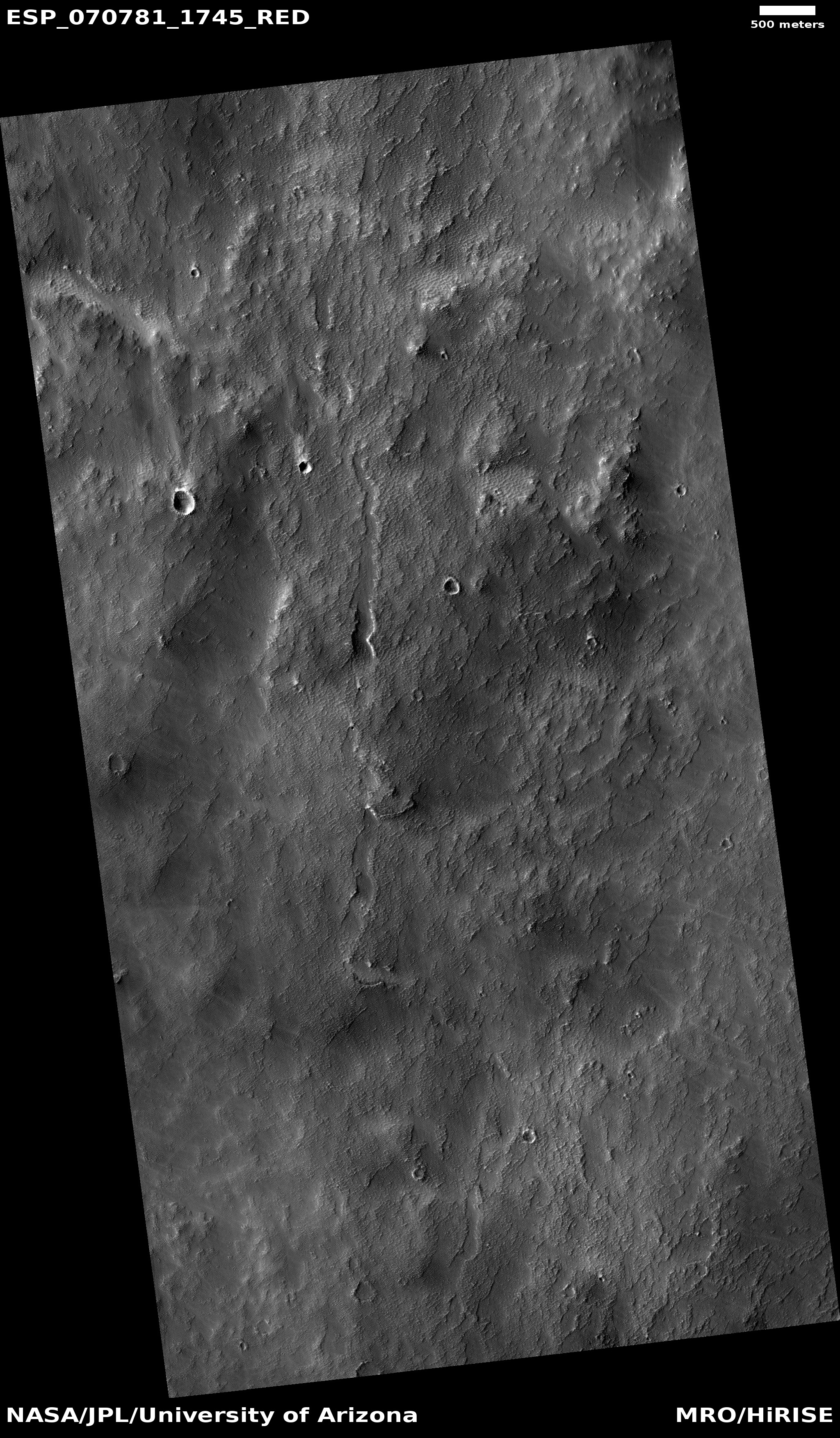
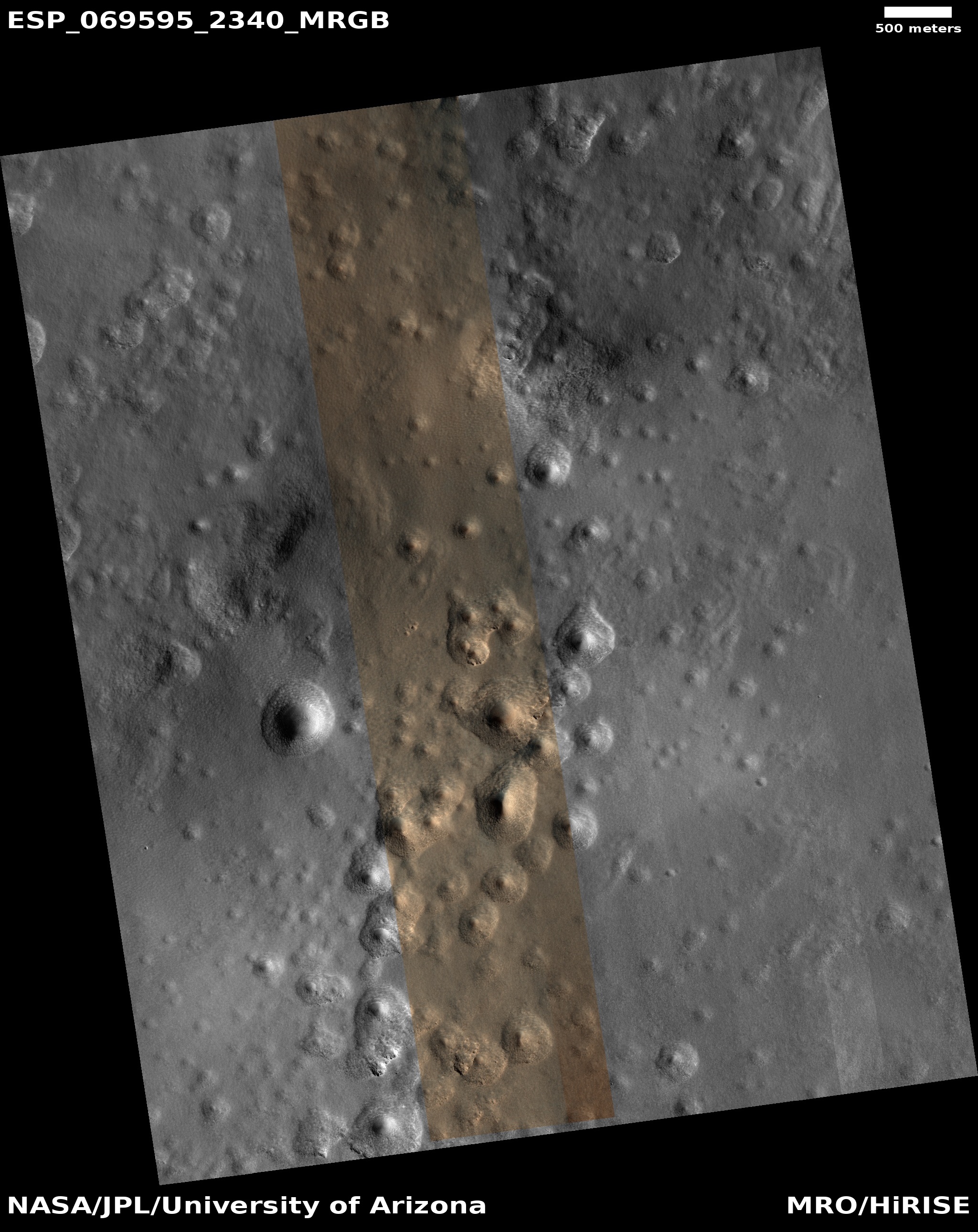
Cool image time! The photo to the right, cropped and reduced to post here, was taken on April 30, 2020 by the high resolution camera on Mars Reconnaissance Orbiter (MRO). Uncaptioned, the science team titled the release as a “Cataract in Osuga Valles.”

To understand what we are looking at it is necessary to also see a wider view, as provided by the context map below and to the right. As you can see, this image straddles across the canyon called Osuga Valles, and heads downstream to the east. It also shows a point where the grade of that canyon suddenly drops. If water ever flowed here this place would have been the location of a truly spectacular waterfall.

More likely, these cataracts mark the location where sometime in the past a glacier had flowed down this valley, cutting a path until it broke out into the large and wide dead end area that appears to have no clear outlet. For some reason at this point the downhill grade of this canyon suddenly dropped, with the glacier following that sudden steep drop.

There is no glaciers here now, as this location is at 14 degrees south latitude, too close to the equator for any ice to remain close to the surface. Instead, dust dunes remain as the only feature flowing down through these cataracts.

The second overview map provides further context, showing the location of Osuga Valles relative to nearby Valles Marineris, the largest known canyon system in the solar system. Whatever process formed that gigantic canyon system certainly was a factor in forming Osuga Valles. The details however are not yet understood with any certainty. All we presently have are theories.

InSight mole team reports some digging success

InSight scoop pushing against mole as it digs
Click to watch movie.

A new strategy devised in February to use the scoop on the Mars InSight lander to push down on the mole digging tool so that it could gain traction and dig downward has apparently had some success.

We started about seven centimetres above the surface on Sol 458 (11 March) and we are now at the surface with the scoop on Sol 536 (30 May 30), after six cycles of hammering over 11 weeks.

If you click on the image on the right you can see a movie assembled from images taken since February as they pushed down. The mole has clearly descended into the Martian soil about seven centimeters, or about three inches. The issue now, as shown in the movie, is that the mole is now deep enough that the scoop is pressed against the ground. It can’t really push down anymore on the mole, at least in this configuration.

They have the option of using the scoop’s tip to push farther into the ground, but that involves some risk. First they plan to let the mole continue to dig, without the scoop’s help, in the hope that it is now finally deep enough into the ground that the ground is finally able to provide the friction required to hold the mole in place. If this doesn’t work, they will then try using the scoop to fill the hole up to provide more friction.

If that doesn’t work, they will then try using the scoop tip to provide the added pressure.

All in all, it does appear there is now hope that the mole will eventually get the heat sensor for measuring the internal temperatue on Mars deep enough to do its primary mission. Stay tuned!

A detailed update on SpaceX’s Starlink satellite constellation

Link here. With yesterday’s launch, SpaceX now has put 420 satellites in orbit.

In a recent interview with Aviation Week, SpaceX President Gwynne Shotwell said that they should begin beta testing the network this year and would want to complete around 14 launches before publicly promoting Starlink service. That could allow service to begin as soon as early 2021 depending on how fast launches can be performed.

In a recent ITU filing, SpaceX laid out a very aggressive schedule for continuing the Starlink deployment, with 13 launches in the May to September time period. This schedule is likely to spread out a bit as they run into normal launch cadence issues such as weather, range coordination, booster recovery operations, and booster refurbishment.

The first launch in that group (June 3 in Florida) has been delayed nearly a month for the above reasons. Regardless of exactly how long those launches end up taking, Ms. Shotwell’s comments indicate SpaceX doesn’t think satellite production will be a gating factor for their deployments in the near future.

An interesting feature of the schedule is that after this frenzy of launches, there would be a gap with only one launch in four months, followed by a period of twice-monthly launches to finish out the initial 1584 satellite shell of the constellation. SpaceX may have options to make changes to the satellites during that pause in the deployments, such as adding the optical inter-satellite links that have been mentioned as debuting later in 2020.

The article then provides a great deal of information about the system’s design and status for beginning operations in the U.S. Well worth a close read.

ArianeGroup developing new rocket engine

Capitalism in space: The private company ArianeGroup has now gotten the okay from the European Space Agency (ESA) to begin full development of its new Prometheus rocket engine, intended to reduce costs 10x.

By applying a design-to-cost approach to manufacturing Prometheus, ESA aims to lower the cost of production by a factor of ten of the current main stage Ariane 5 Vulcain 2 engine. Features such as variable thrust, multiple ignitions, suitability for main and upper stage application, and minimised ground operations before and after flight also make Prometheus a highly flexible engine.

This Prometheus precursor runs on liquid oxygen–methane which brings high efficiency, allows standardisation and operational simplicity. Methane propellant is also widely available and easy to handle.

Essentially, ArianeGroup is going to try to build its own methane-powered rocket engine, having seen the success that SpaceX has so far had with its own Raptor methane engine. This also signals an increased recognition at ESA and ArianeGroup that their new Ariane-6 rocket, whose first launch is still about a year away, is not going to be competitive with SpaceX’s offerings, and needs to be upgraded or replaced.

Live feed of tonight’s SpaceX Falcon 9 Starlink launch

UPDATE: A successfully launch, with a successful landing of the first stage, the fifth time this particular stage has completed a mission.

10 China
8 SpaceX
7 Russia
3 ULA

The U.S. now leads China 13 to 10 in the national rankings.

Original post:
——————————
Since there was such a positive response to the embedded live feed of SpaceX’s first manned Dragon launch a few days go, I’ve decided to embed below the live feed of their next launch tonight of 60 Starlink satellites. The launch is set for 9:25 pm (Eastern), with the live feed starting fifteen minutes before that.

Enjoy. Watching that first stage land never gets old.

The strange squashed ridges at the basement of Mars

Squashed ridges at the basement of Mars
Click for full image.

Overview map

Cool image time! The photo on the right, cropped and reduced to post here, was taken by the high resolution camera on Mars Reconnaissance Orbiter (MRO) on April 9, 2020, and shows the very weird and very packed ridges and layers that are found routinely at the deepest part of Hellas Basin, what I have dubbed the basement of Mars.

Be sure to click on the image to see the full photograph. There’s lots more strangeness to see there. And be sure to read my post in the second link, which highlights a similarly strange set of packed ridges, and where I note:

This is the basement of Mars, what could be called its own Death Valley. The difference however is that unlike Death Valley, conditions here could be more amendable to life, as the lower elevation means the atmosphere is thicker.

The context map to the right shows Hellas, with the location of today’s image indicated by the white box, close to basin’s lowest point, more than five miles below the basin’s rim. Overall the Hellas Basin is about the size of the western United States, from the Mississippi River to the Pacific Ocean. It is believed that the entire basin was created by a single gigantic impact that occurred about four billion years ago when the solar system’s inner planets were undergoing what has been labeled the Late Heavy Bombardment.

The specific process that formed these ridges, dubbed honeycomb terrain by scientists, remains unknown however. There are of course theories, none of which are very convincing. Here’s mine, as outlined in the previous post:
» Read more

Smallest satellite yet detects exoplanet

The smallest satellite yet, a cubesat, has demonstrated the potential of cubesats to do real cutting edge astronomy by successfully detected a known exoplanet.

Long before it was deployed into low-Earth orbit from the International Space Station in Nov. 2017, the tiny ASTERIA spacecraft had a big goal: to prove that a satellite roughly the size of a briefcase could perform some of the complex tasks much larger space observatories use to study exoplanets, or planets outside our solar system. A new paper soon to be published in the Astronomical Journal describes how ASTERIA (short for Arcsecond Space Telescope Enabling Research in Astrophysics) didn’t just demonstrate it could perform those tasks but went above and beyond, detecting the known exoplanet 55 Cancri e.

Scorching hot and about twice the size of Earth, 55 Cancri e orbits extremely close to its Sun-like parent star. Scientists already knew the planet’s location; looking for it was a way to test ASTERIA’s capabilities. The tiny spacecraft wasn’t initially designed to perform science; rather, as a technology demonstration, the mission’s goal was to develop new capabilities for future missions. The team’s technological leap was to build a small spacecraft that could conduct fine pointing control – essentially the ability to stay very steadily focused on an object for long periods.

…The CubeSat used fine pointing control to detect 55 Cancri e via the transit method, in which scientists look for dips in the brightness of a star caused by a passing planet. When making exoplanet detections this way, a spacecraft’s own movements or vibrations can produce jiggles in the data that could be misinterpreted as changes in the star’s brightness. The spacecraft needs to stay steady and keep the star centered in its field of view. This allows scientists to accurately measure the star’s brightness and identify the tiny changes that indicate the planet has passed in front of it, blocking some of its light.

This success is mostly a proof of concept, but it lays the groundwork for less expensive future space astronomy, using low cost cubesats capable of doing what the expensive orbiting space telescopes have done so far.

Musk confirms cause of most recent Starship prototype failure

Capitalism in space: During a press event following the successful launch of SpaceX’s first manned Dragon, Elon Musk confirmed that the cause of the most recent Starship prototype failure was a leak at the connection point, called a quick disconnect or QD, for one of the umbilical cords that fuel the spacecraft.

If so, this cause is generally good engineering news, as it indicates the problem was not related to the prototype itself but with equipment that is more easily fixed. The article at the link notes:

Given that Starships are currently being tested independently on spartan launch mounts, it’s unclear if the current generation of prototypes has been outfitted with advanced QD panels. More likely, Musk was referring to a test of a less advanced QD panel similar to the rough version used on Starhopper last year, and SpaceX simply wanted to test its ability to disconnect and reconnect to Starship on command.

The explosion itself had not only completely destroyed the prototype, it rendered the test stand unusable. Yet, as another demonstration of SpaceX’s agility and competence as a company, the test stand was “fully dismantled and scrapped in the two days since the anomaly.”

Two days! More important, the fifth prototype is ready to go, with a sixth almost finished. They expect to resume tests before the end of the month.

Thar’s ice in them Martian hills!

Icy mountains in Erebus Montes?
Click for full image.

Overview map of Starship landing site images

Cool image time! Today we return to the Erebus Mountains, located just to the west of SpaceX’s prime candidate landing site for Starship on Mars. The photo to the right, taken on April 4, 2020 by the high resolution camera on Mars Reconnaissance Orbiter (MRO) and rotated, cropped, and reduced to post here, shows one particular area between the peaks in those mountains, and also happens to be very close to what I have labeled image #1 in SpaceX’s Starship landing site photos.

The second image below and to the right shows an overview map of this region, with the SpaceX photos indicated by the numbered white boxes and the location of this image indicated by the red box, right next to image #1. The black boxes were images that SpaceX had obtained from MRO earlier, when it was first planning to send a Dragon capsule to Mars using a Falcon Heavy, a project the company has put aside in its focus on building Starship.

To my eye, everything in the first image above reeks of an icy, glacial terrain. I certainly am guessing, but it is an educated guess based on looking at numerous similar images in this region (see here and here, ) as well as in the nearby Phlegra mountains to the west. I also base my guess on what I have learned interviewing planetary scientists who are studying these images. The reasonableness of this guess is further strengthened in that the location is at 39 degrees north latitude, dead center in the mid-latitude bands where scientists have found evidence of numerous buried glaciers.

If Starship lands just to the east of the Erebus Mountains, the first colonists will likely not only have water available at their feet close to the surface in the flat lowland plains, if they find that resource insufficient they will need only climb uphill a bit into these hills to dig out as much ice as they could ever need.

Dragon docks with ISS; astronauts reveal its name is Endeavour

Capitalism in space: SpaceX’s first manned Dragon capsule successfully docked today with ISS.

A few hours after launch the two American astronauts, Doug Hurley and Bob Behnken, also revealed that they had named the capsule “Endeavour.”

I know this is really old news from late last night and early this morning, but I was out on a cave trip (taking a work break to have some fun underground for the first time in three months). I post it for completion. I also know that the live stream of these events was active here all day for my readers to follow things, as they happened.

Prepare for even more increasing space excitement in the coming years. The Trump administration increasingly is shifting NASA’s gears to have private companies build its spaceships and rockets and science instruments. The more they do this, the less expensive and the more capabilities we shall have as a nation. This success will be a challenge for other nations to match, which in turn will raise the stakes and increase the competition, the excitement, and the action in space.

Yes, the 20s I hope are going to roar, at least in space.

SpaceX’s first manned SUCCESSFUL Dragon launch

UPDATE: I am off on a caving trip on Sunday, May 31st, so I will not be doing any updates to this post. The live feeds however will still be here and, though they are presently showing a replay of the launch today, should be covering Dragon’s rendezvous and docking with ISS on Sunday..

UPDATE: Dragon is in orbit. SpaceX has successfully used its Falcon 9 rocket to place to Americans into space, the first American launch from American soil in an American spacecraft on an American rocket in nine years.

The leaders in the 2020 launch race:

9 China
7 Russia
7 SpaceX
3 ULA

The U.S. now leads China 12 to 9 in the national rankings.

UPDATE: I have added NASA’s media live feed to the one provided on SpaceX’s website. There will be some hype on SpaceX’s feed, but the media feed had no commentary. Pick which you prefer.

UPDATE: NASA and SpaceX have decided to attempt a launch today. The weather remains at 50-50 for launch.

Capitalism in space: Below are the live streams of SpaceX’s first manned Dragon launch, presently scheduled for launch at 3:22 pm (Eastern) tomorrow, May 30, 2020.

First, the feed from SpaceX’s website:

Second, the media feed from NASA, with no narration:

The live coverage will begin at 11 am (Eastern), and because this presentation is a partnership of NASA and SpaceX, will be filled with a lot of hype that one normally does not see during a SpaceX live feed, though I will note that during the live feed of the May 27th scrubbed launch, the NASA hype was kept relatively tame, compared to previous events. It seemed they accepted some guidance from SpaceX on how to do this in a way that seemed less fake or propagandistic.

This time I am embedding the media feed, which might have even less hype.

This post is also set to remain at the top of the page until after the launch, or after the launch is scrubbed, whichever happens. At the moment the weather says there is a 50-50 chance of launching, so we might end up having a scrub again, like on May 27th. In fact, NASA and SpaceX have already said in the evening of May 29th that they will reassess the weather in the AM on May 30th and decide whether to continue with the countdown or scrub. If so, this link and live feed will remain for the Sunday, May 31st, launch attempt.

As I did during the first launch attempt on May 27th, I will also periodically post below the fold images captured from the live feed, with some commentary. Comments from readers are of course welcome, as always.

NOTE: You will need to refresh the post periodically to see new images and commentary.

For other news updates, scroll down.
» Read more

1 174 175 176 177 178 434