
Mars rover update: December 8, 2016
Curiosity
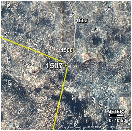
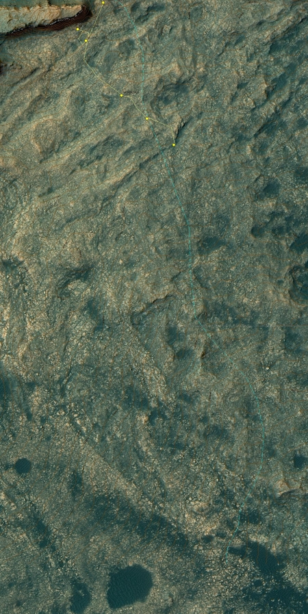
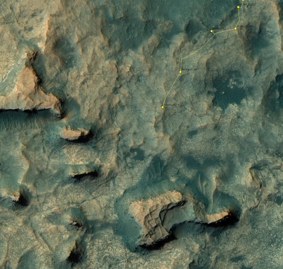
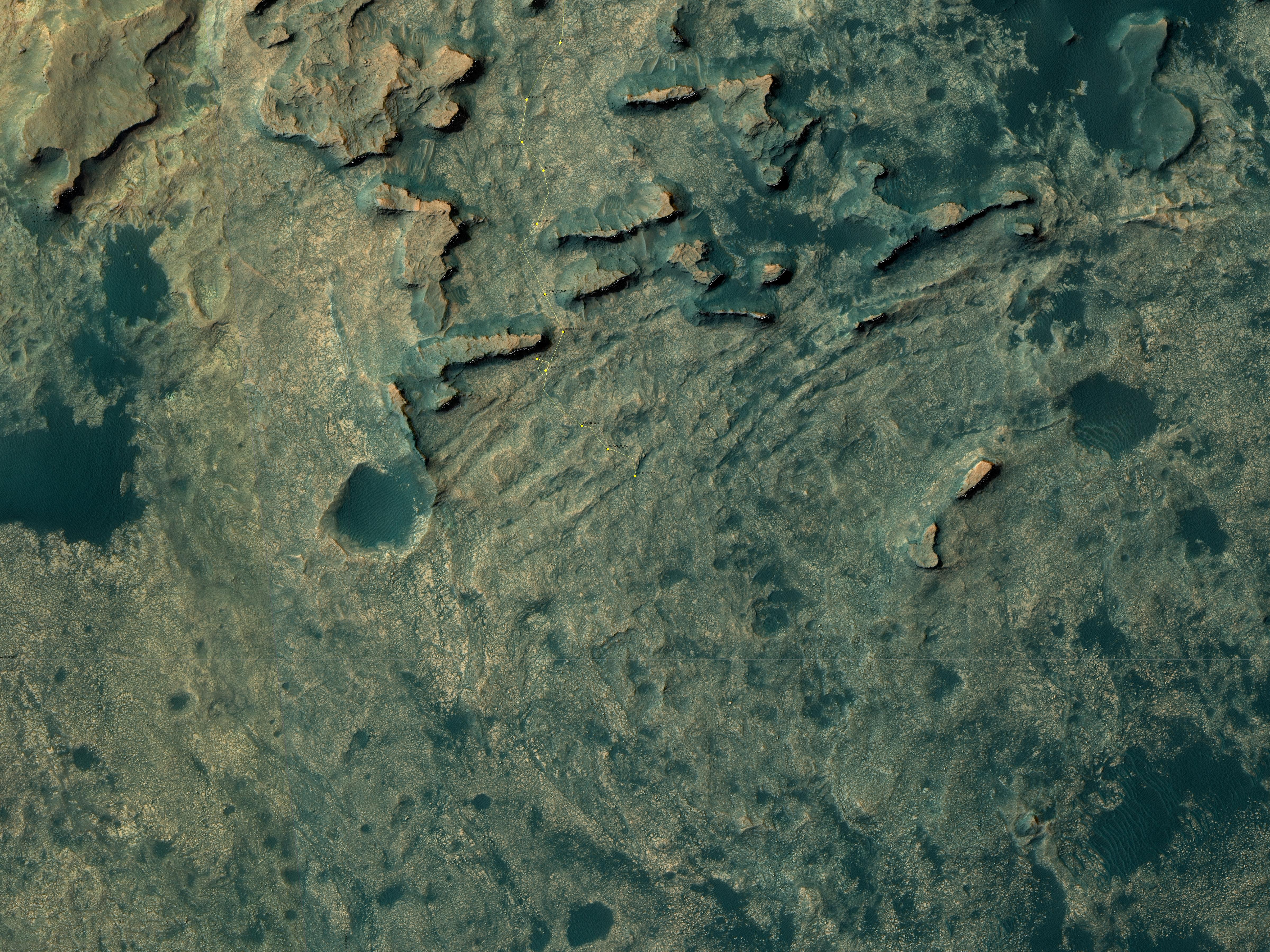
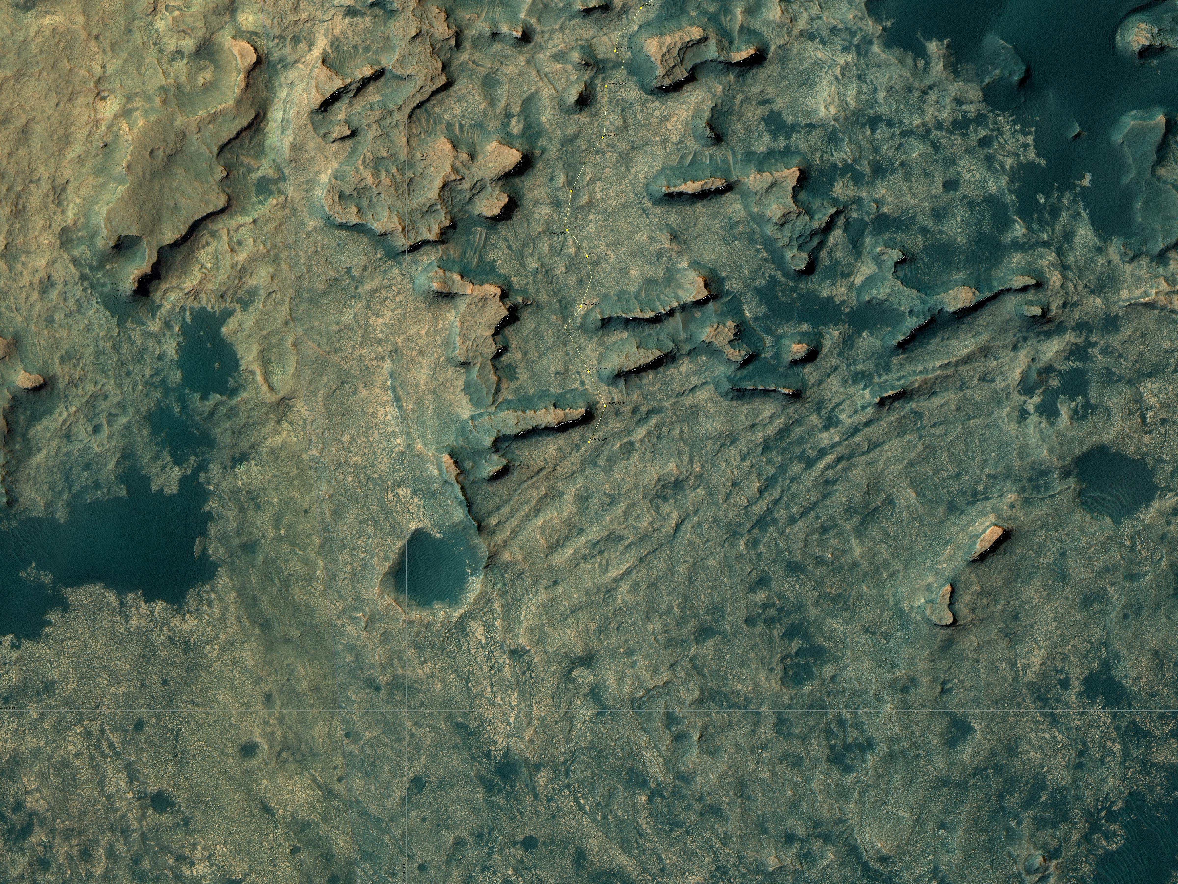
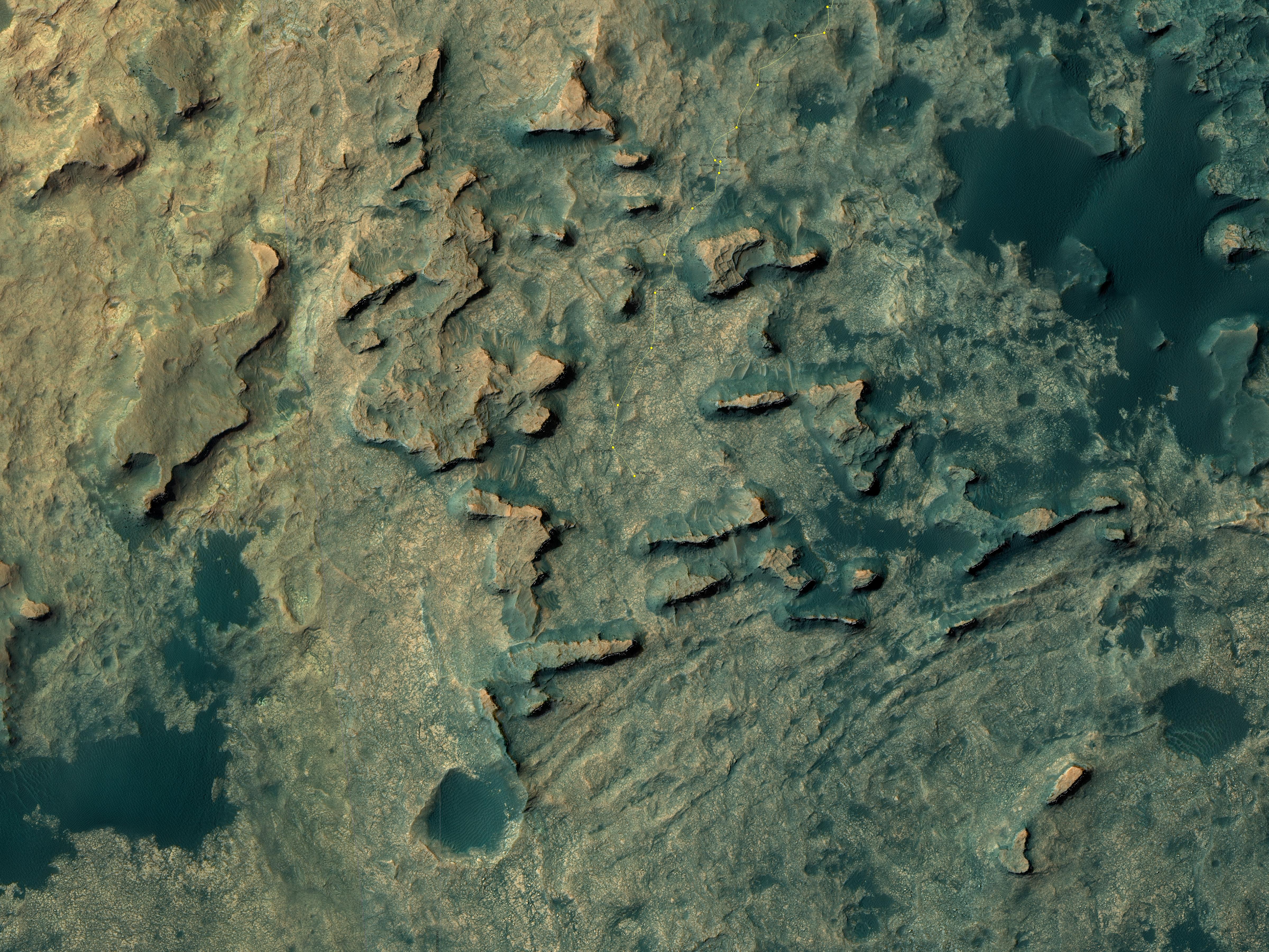
For the overall context of Curiosity’s travels, see Pinpointing Curiosity’s location in Gale Crater.
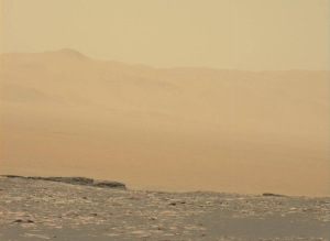
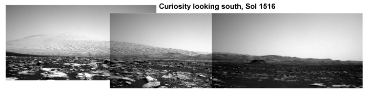
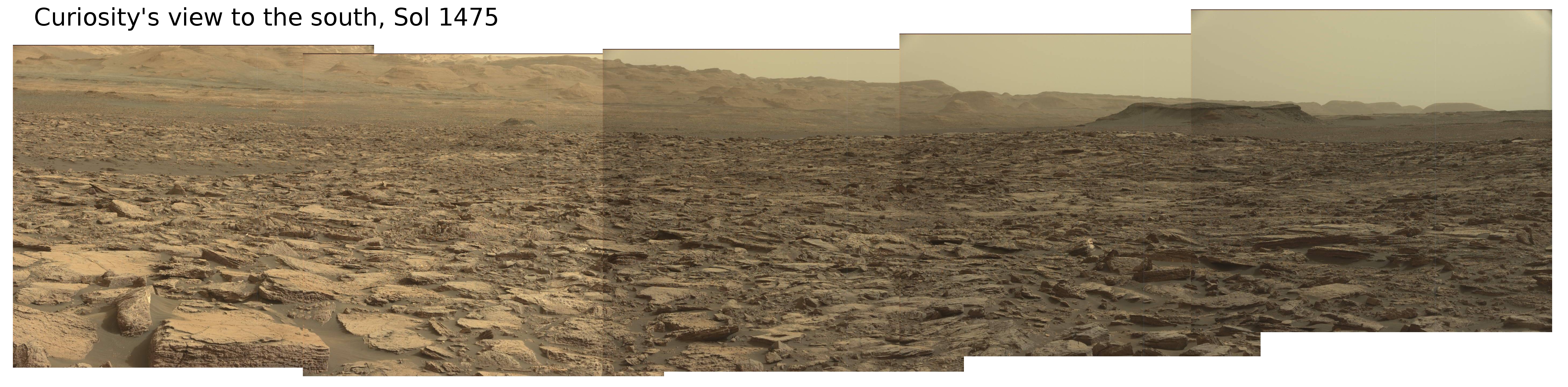
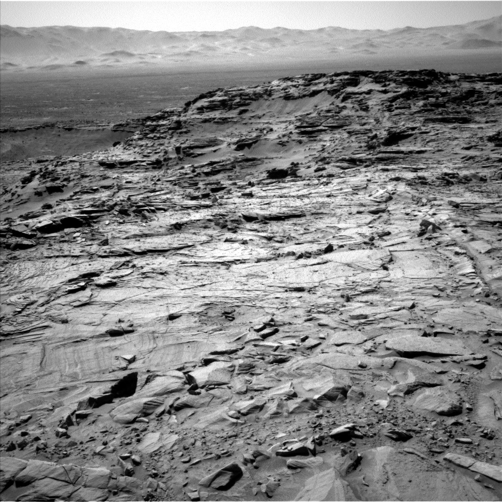
Since my last rover update on November 14th, Curiosity moved relatively little. They drove a short distance to the southeast to a point where they wanted to drill, but have not moved from this location for the past two weeks because of drill issues.
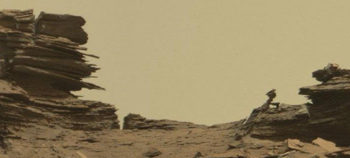
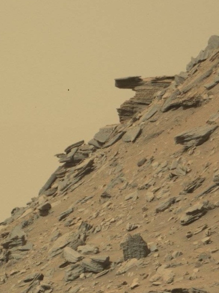
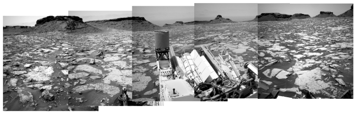
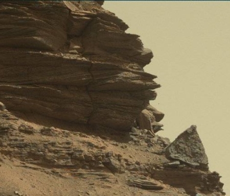
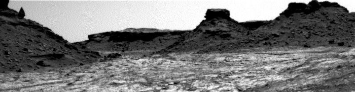
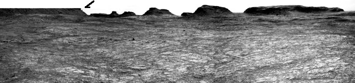
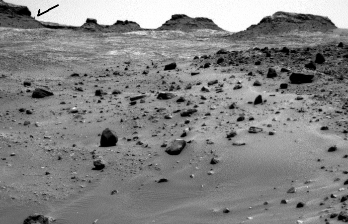
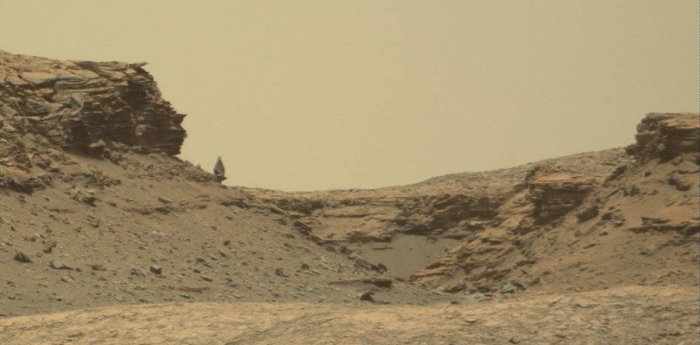
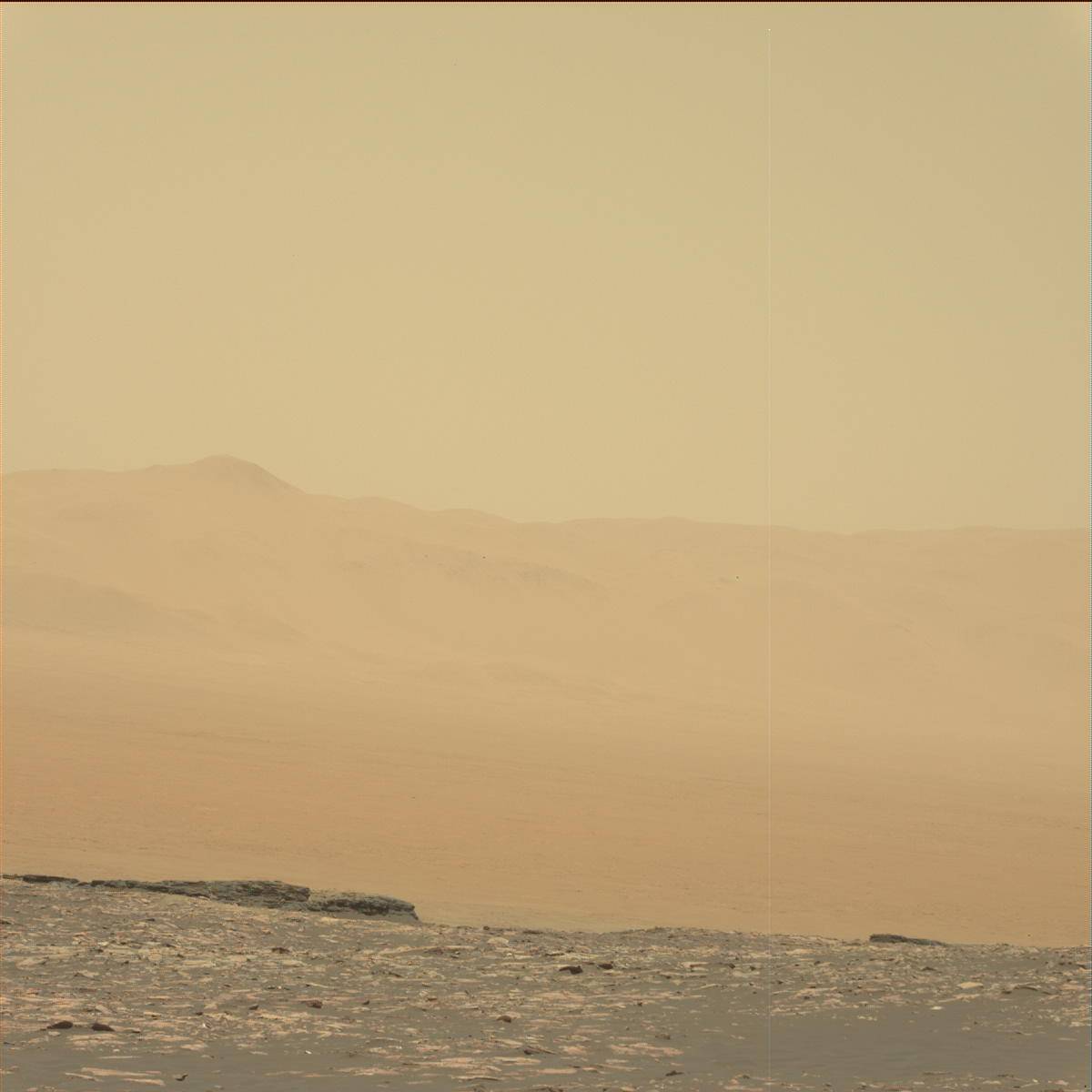
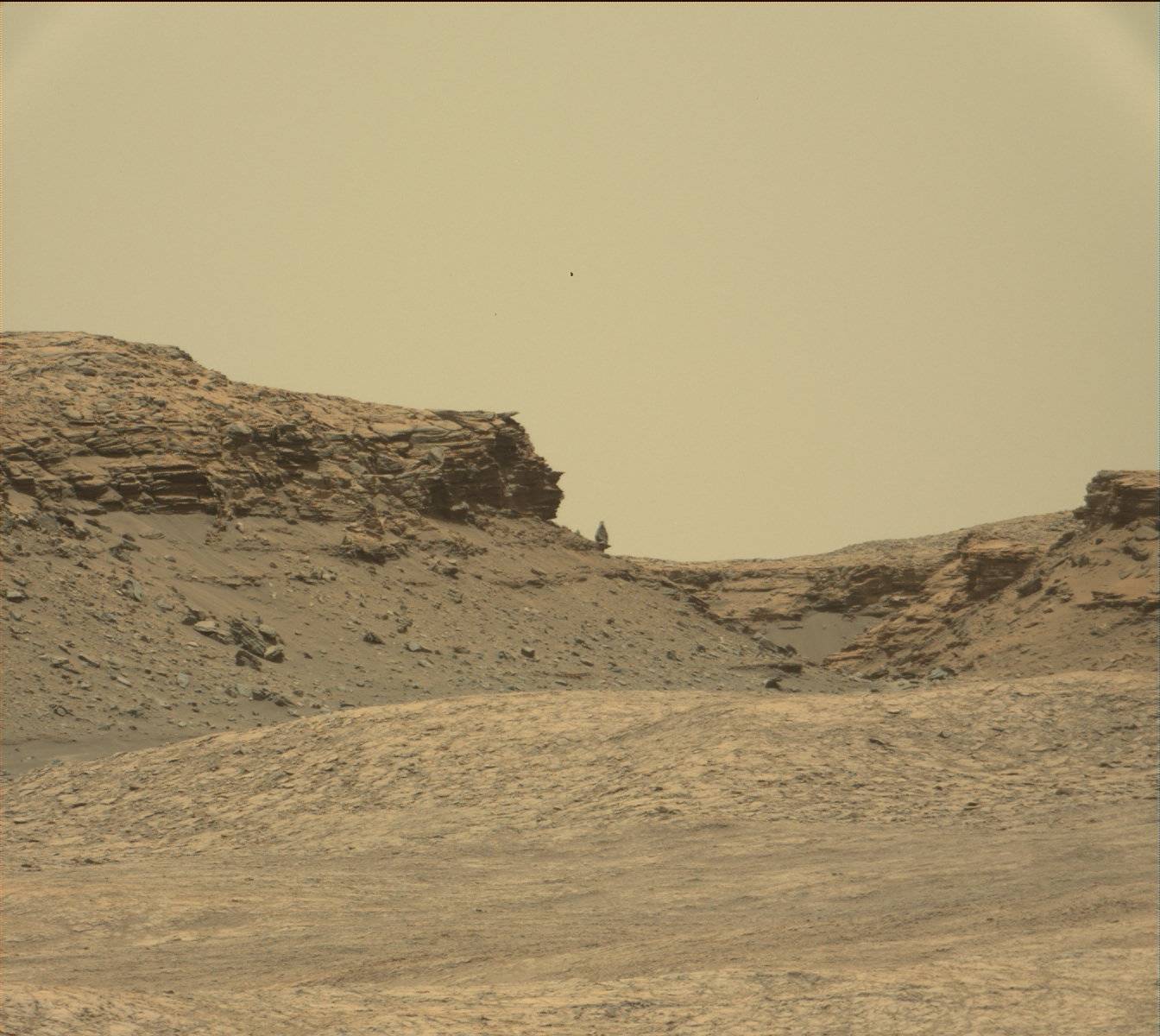
While the engineers study the drill problem, which requires them to not move either the rover or the drill arm, the scientists have still used Curiosity to take images of the dust in the sky, to take hourly images of the dust on the ground (to see how it is changed by the wind), and to take images of nearby interesting nearby features (below the fold).
» Read more