
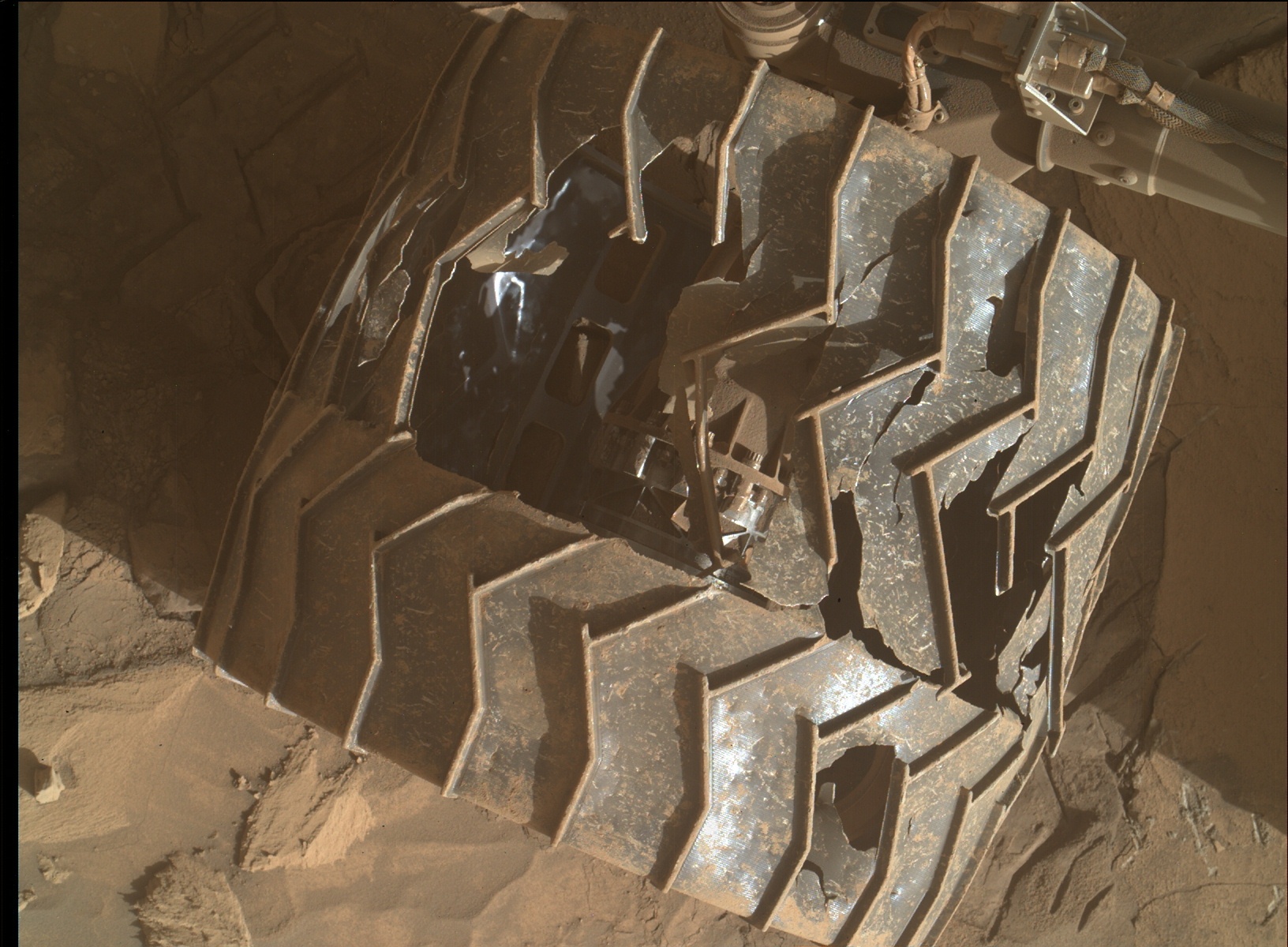
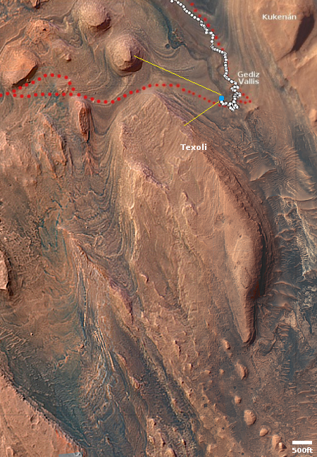
Curiosity looks back

Click for original image.
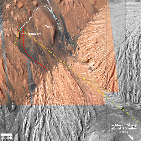
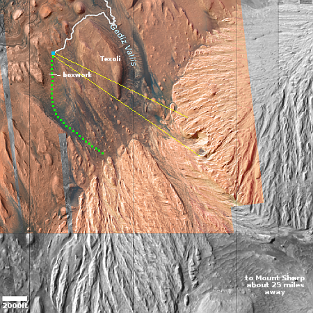
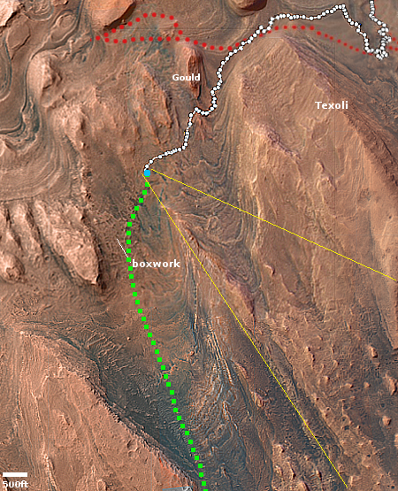
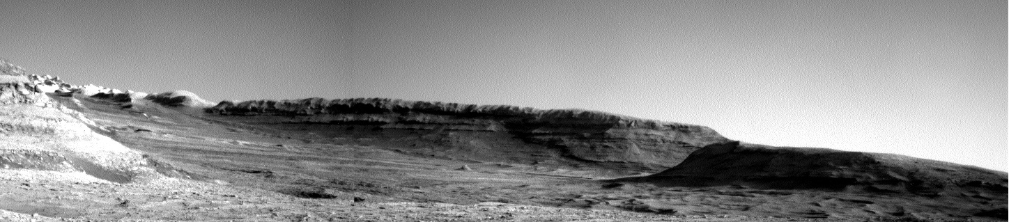
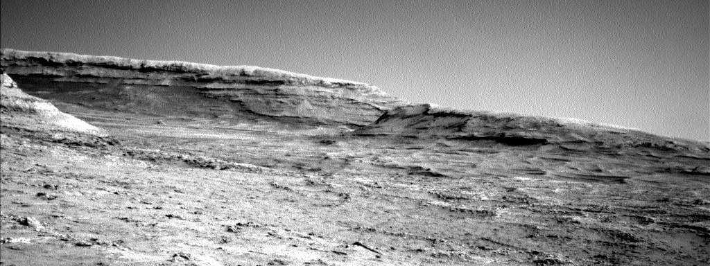
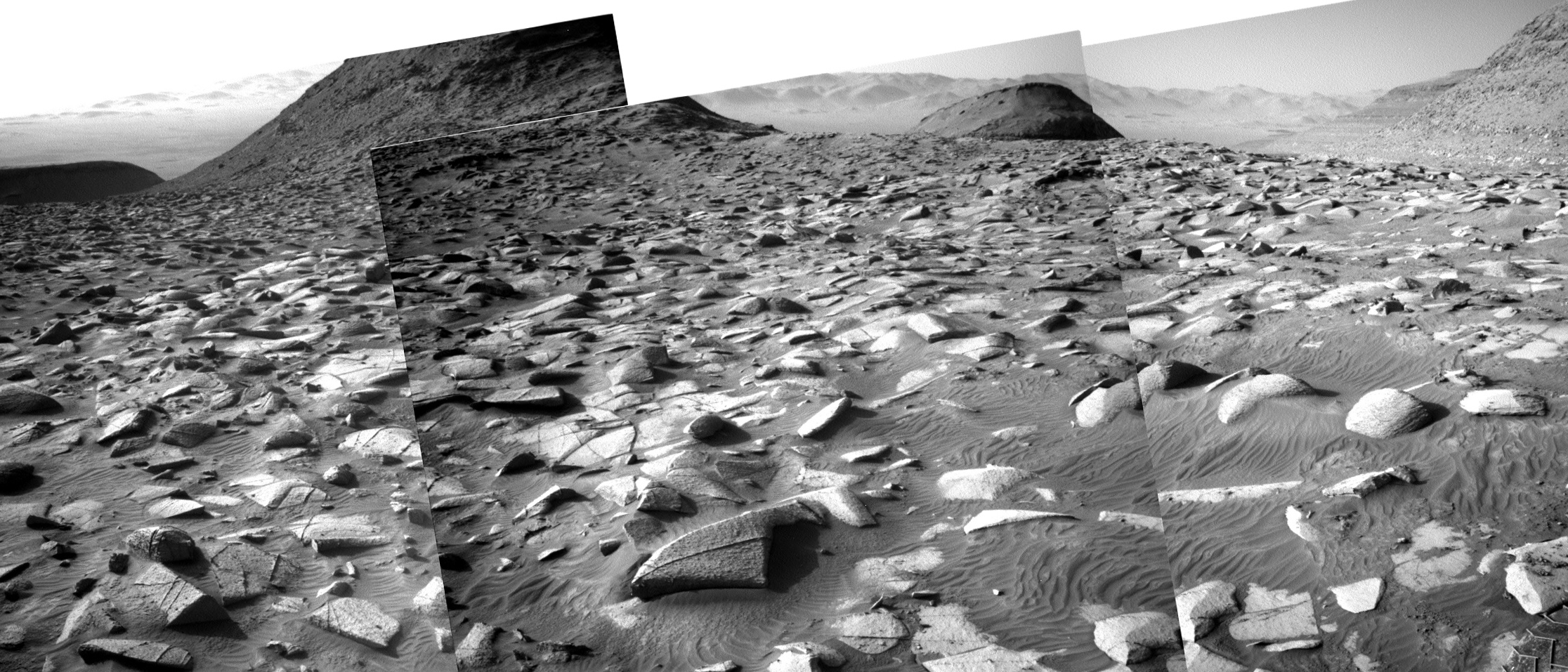
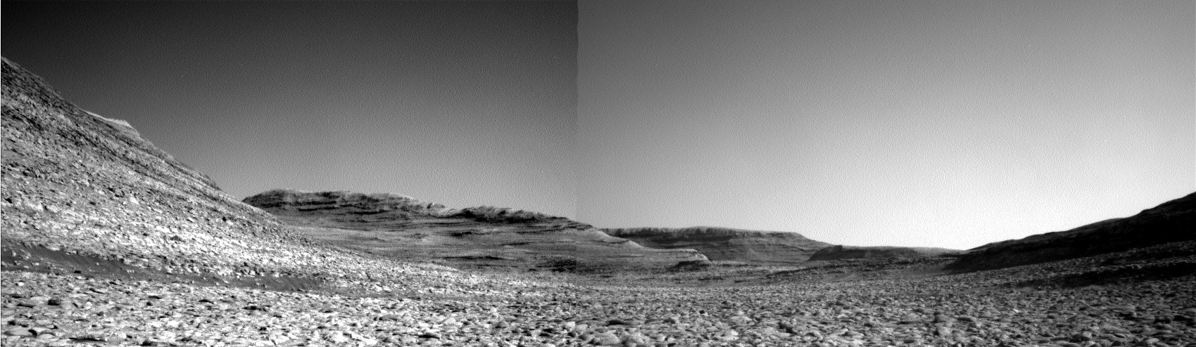
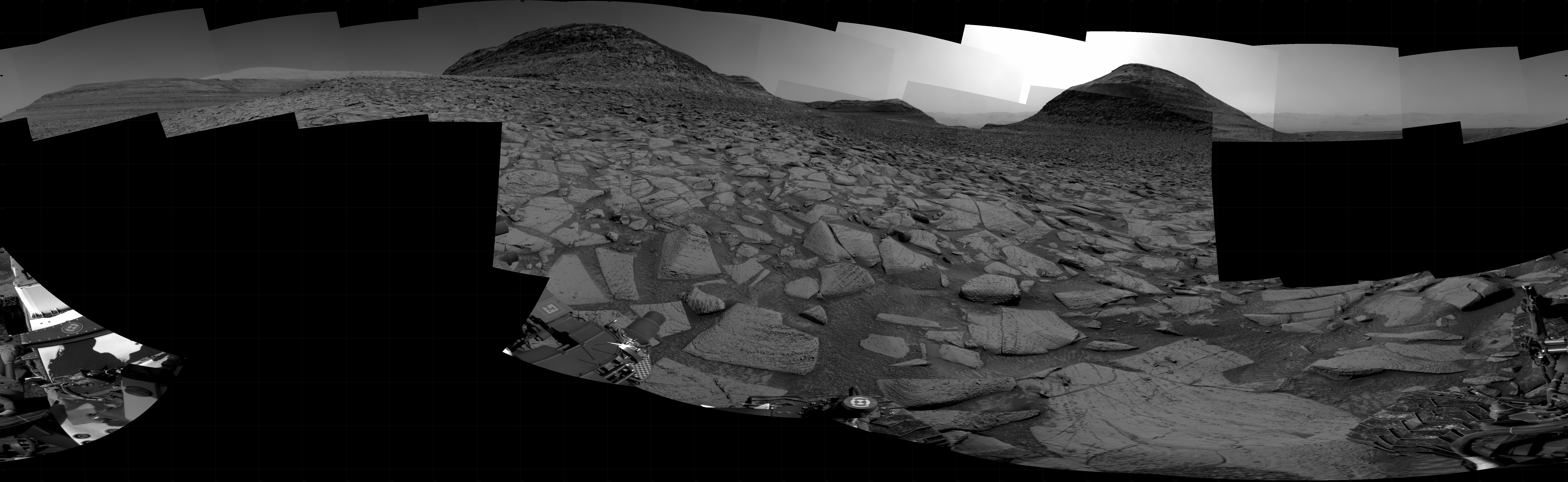
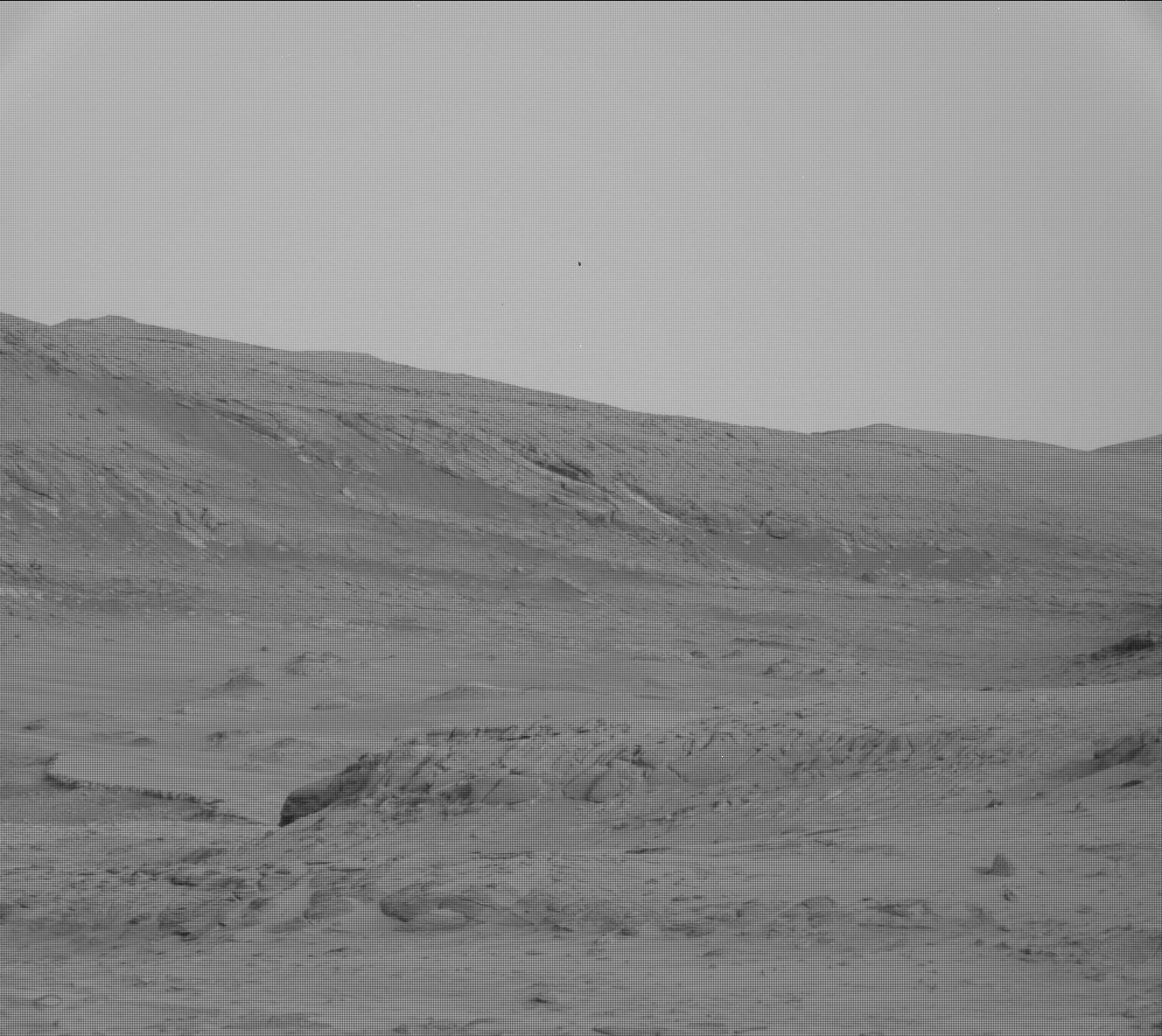
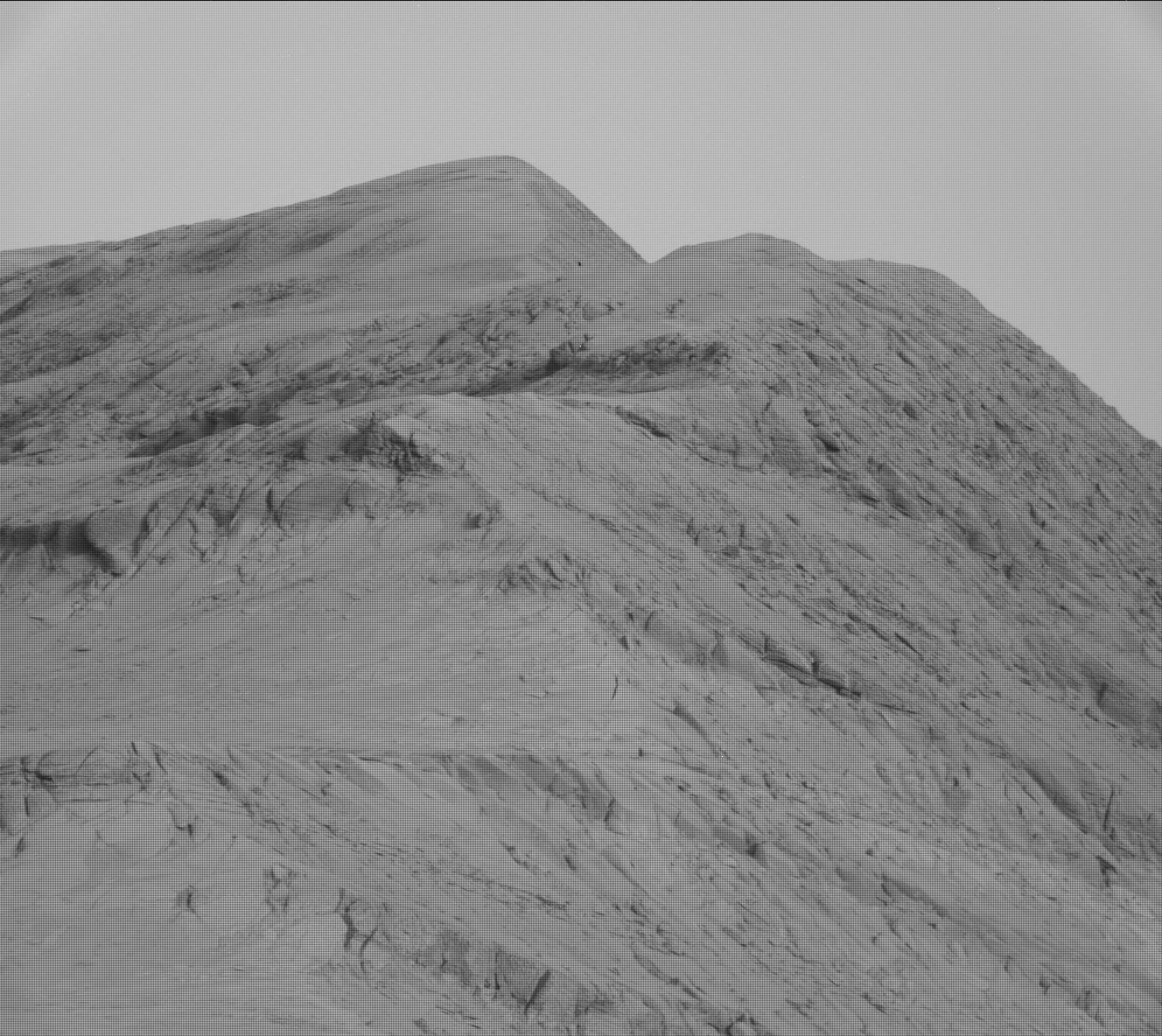
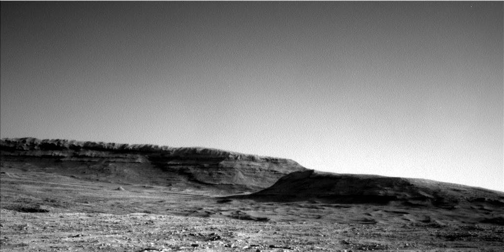
Cool image time! The picture to the right, reduced and enhanced to post here, was taken on July 28, 2025 by the left navigation camera on the Mars rover Curiosity. It looks to the north, down the flanks of Mount Sharp and across the floor of Gale Crater to its mountainous rim about 30 miles way, seen on the horizon.
The view is so clear because of the season, as noted in the science team’s blog post today:
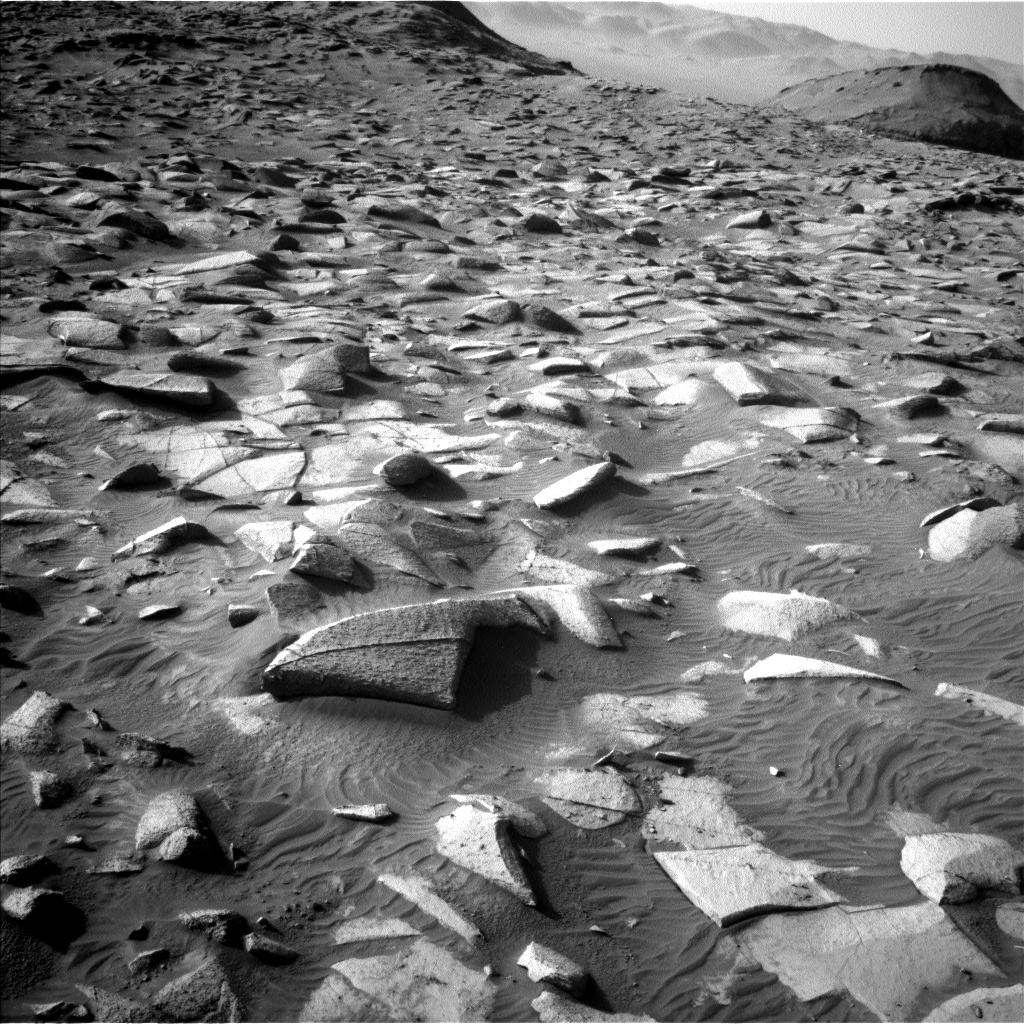
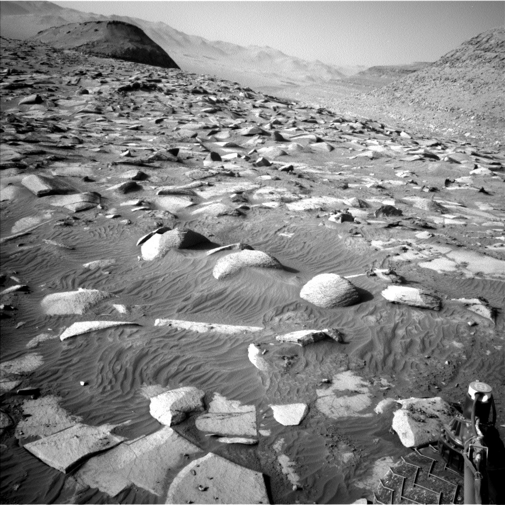
We’re still in the time of year where the atmosphere at Gale is reasonably dust-free (at least, compared to later in the year), allowing us to look all the way out to and beyond the Gale crater rim. The upper slopes of Mount Sharp have also re-emerged to our east after spending months hidden behind the walls of Gediz Vallis. There’s a bit more sand and dust in this location than we’ve seen recently, so we can also see the trail left behind by the rover’s wheels as we drove to this location
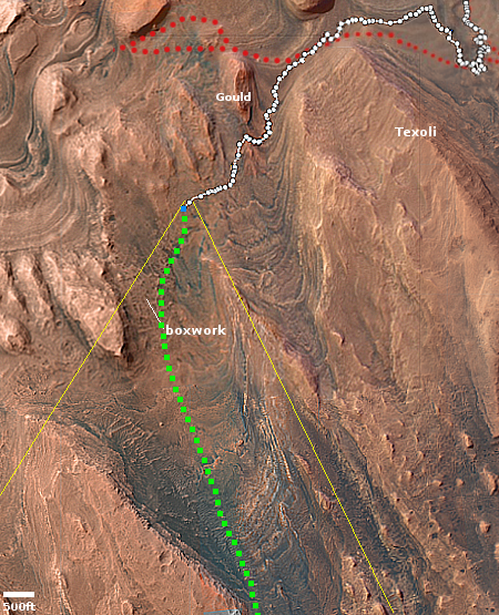
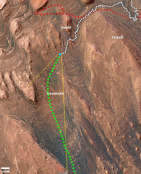
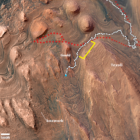
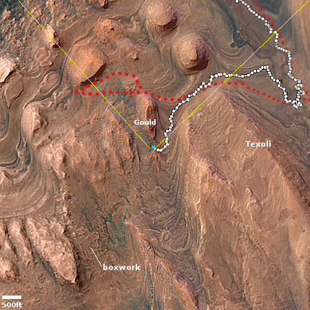
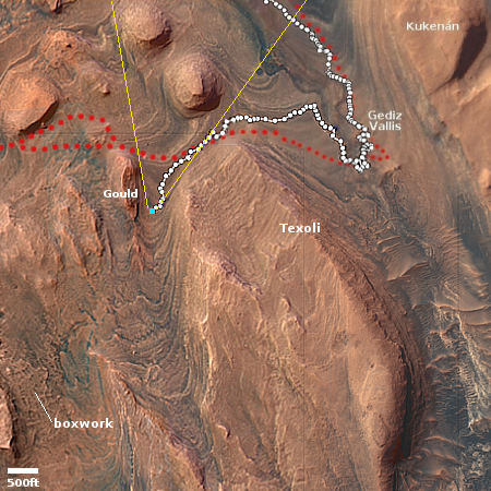
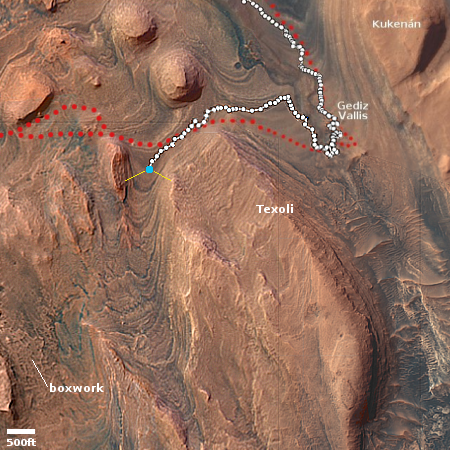
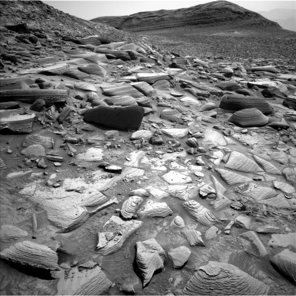
The ridge in the foreground is an example of the boxwork Curiosity is presently traversing. It is now on one of those ridges, and will be moving along it in short drives as the science team studies the geology here. The rover’s tracks leading up to this position can be seen clearly.
» Read more


