
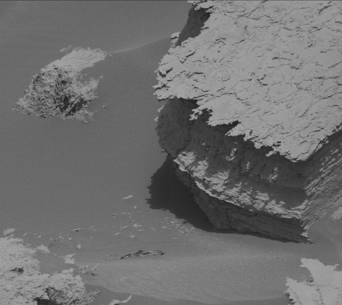
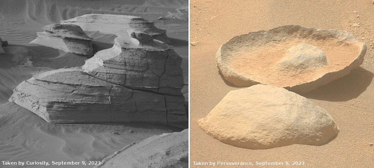
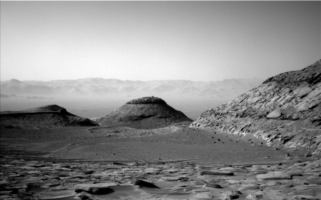
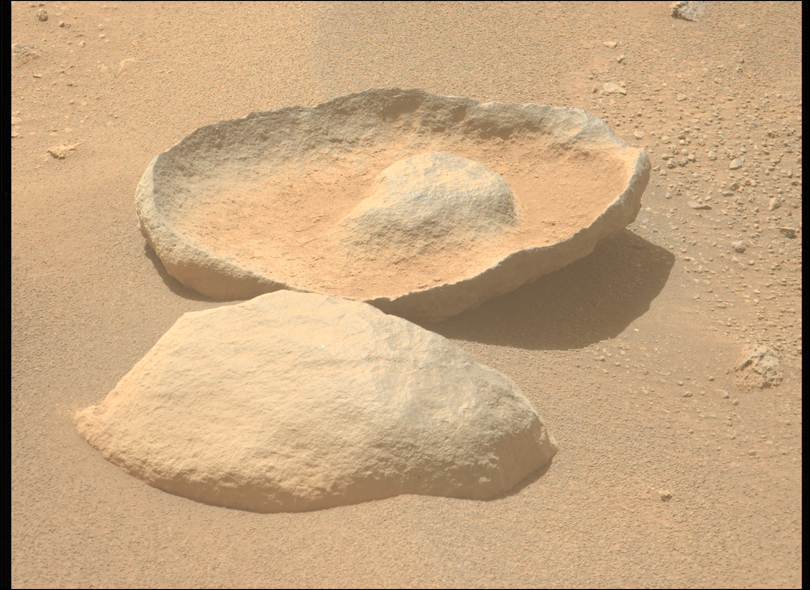
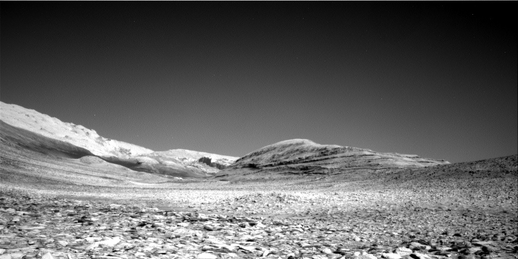
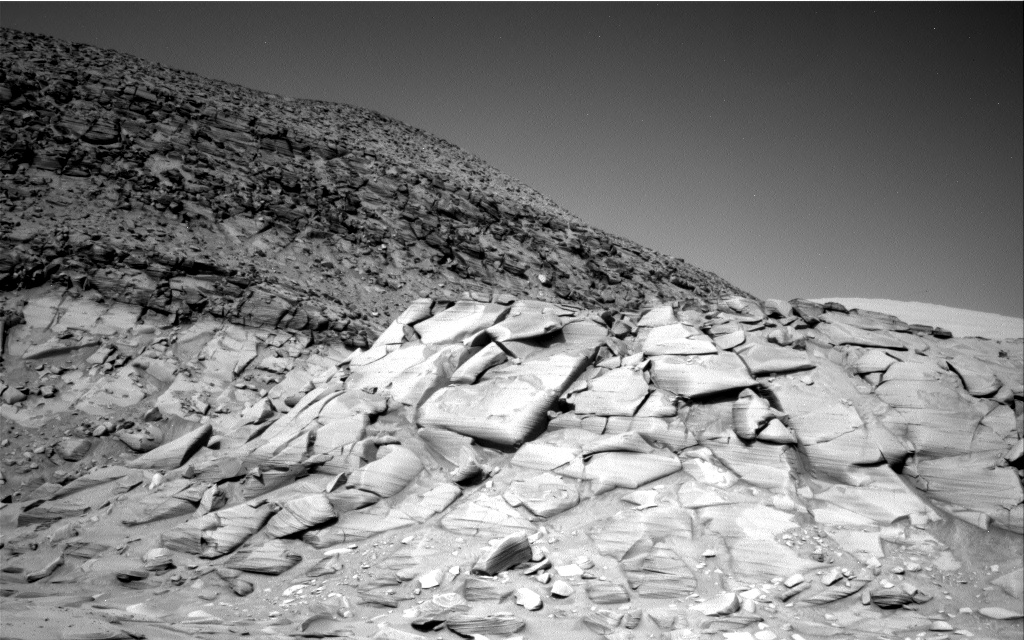
A rock tadpole on Mars
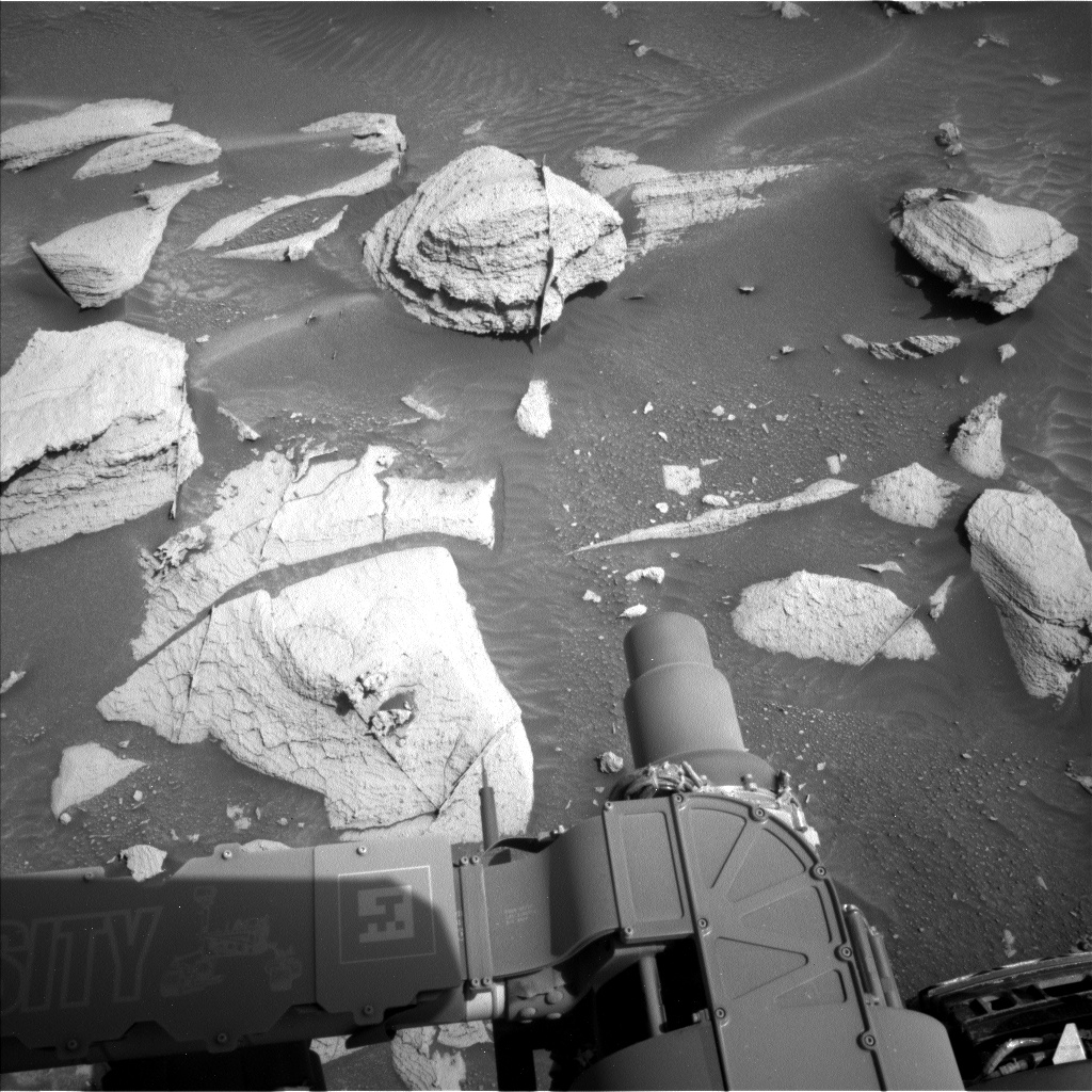
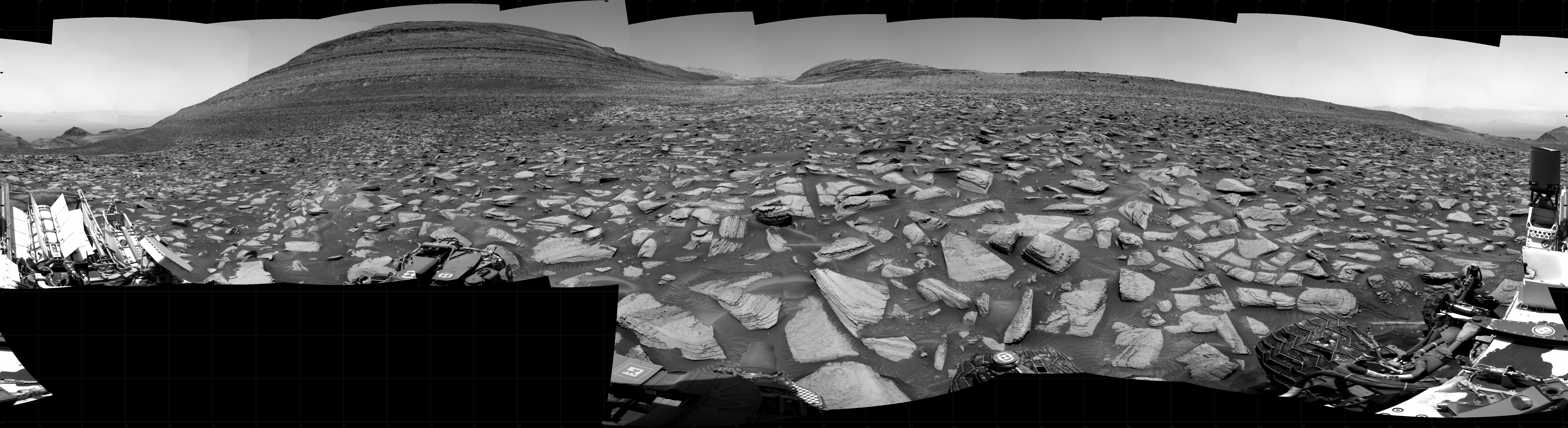
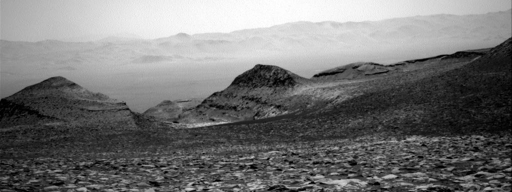
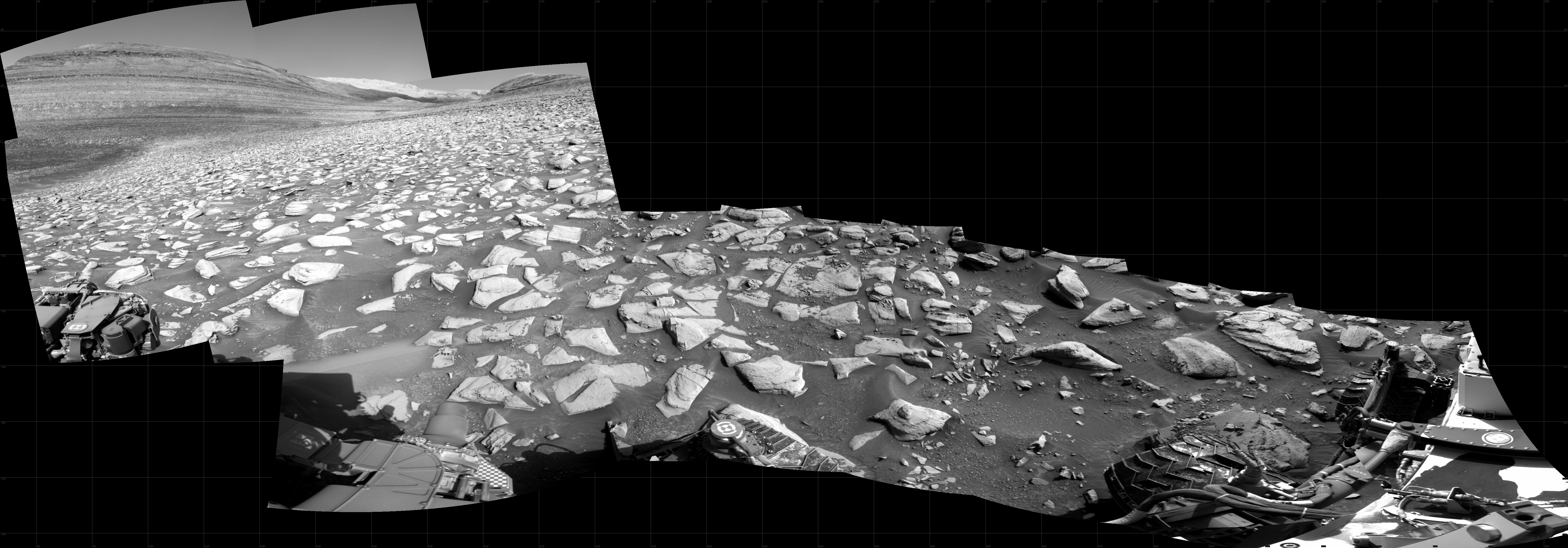
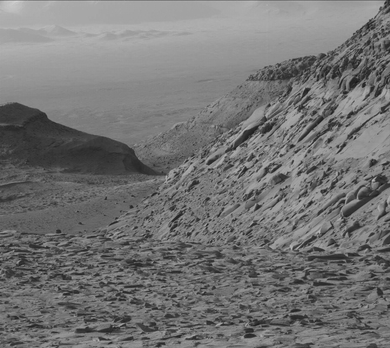
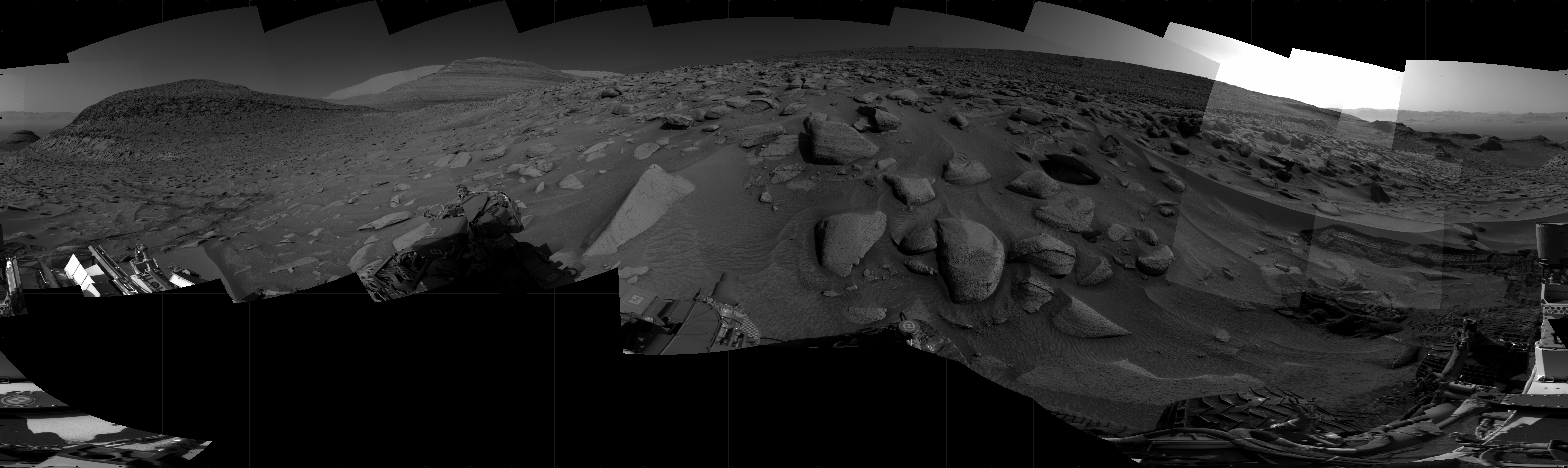
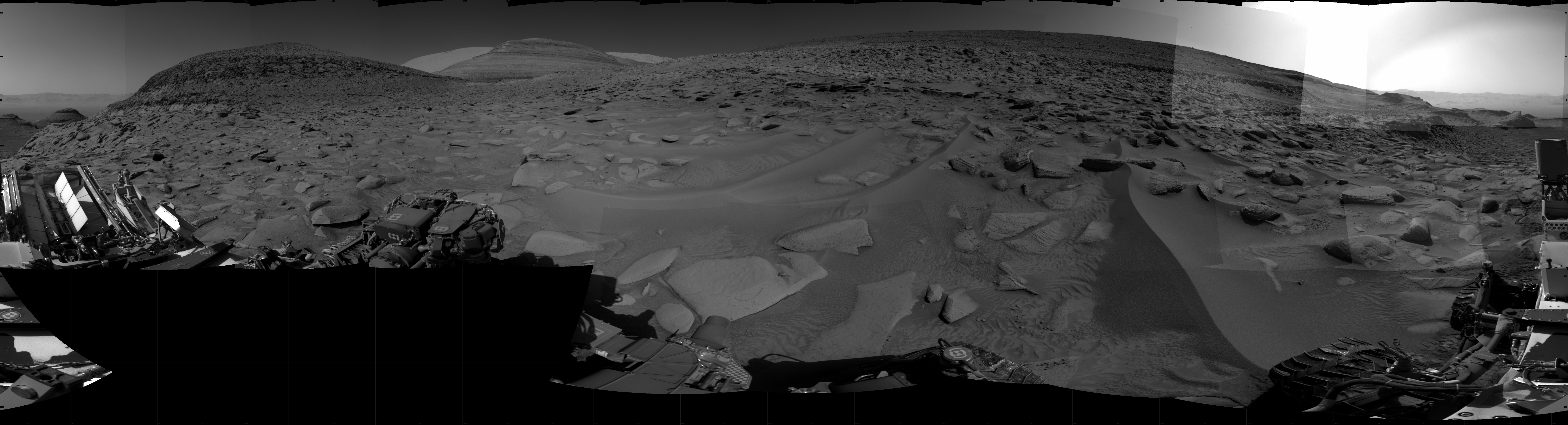
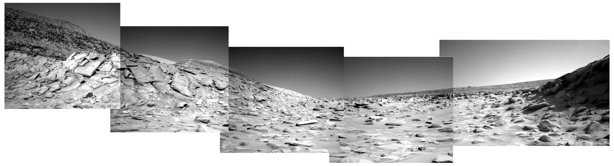
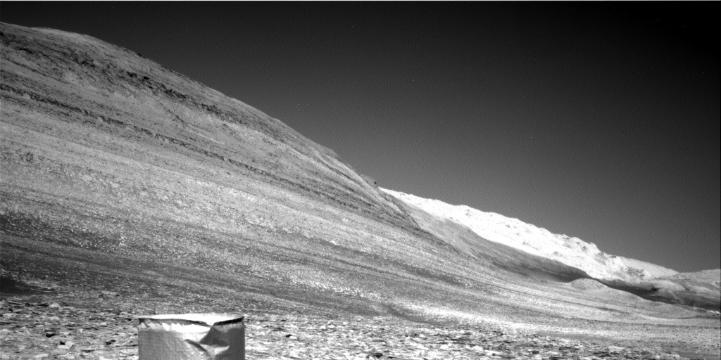
Cool image time! The picture to the right, cropped, reduced, and sharpened to post here, was taken on January 11, 2024 by the left navigation camera of the Mars rover Curiosity.
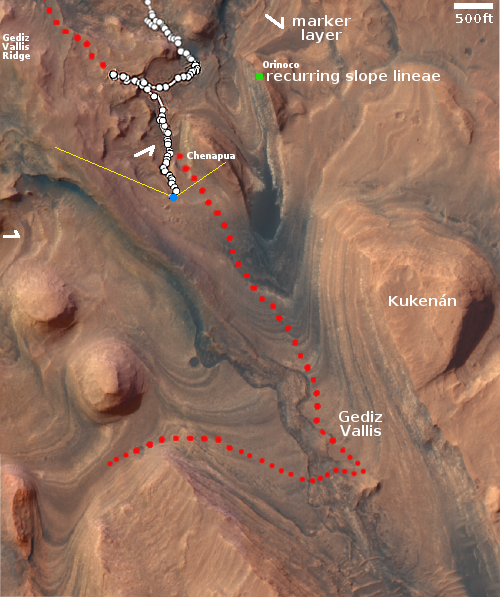
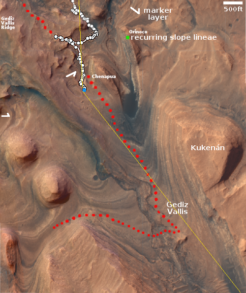
The picture was highlighted in yesterday’s update from the rover’s science team, describing the team’s upcoming geological goals for the next few days.
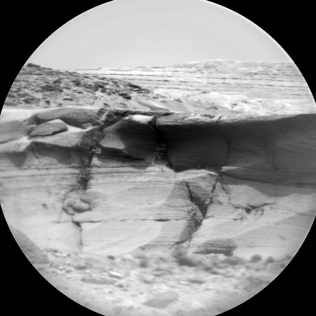
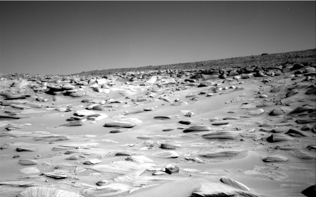
We have observed resistant, polygonal fractures/ridges in many recent bedrock blocks. There is much speculation among the team as to the origin of these features. Hypotheses have different implications for past environments, and the polygonal fractures are therefore of high interest. As well as the polygonal fractures, there are more continuous linear veins. The relationship between the polygonal and linear fractures can also help to inform our interpretations
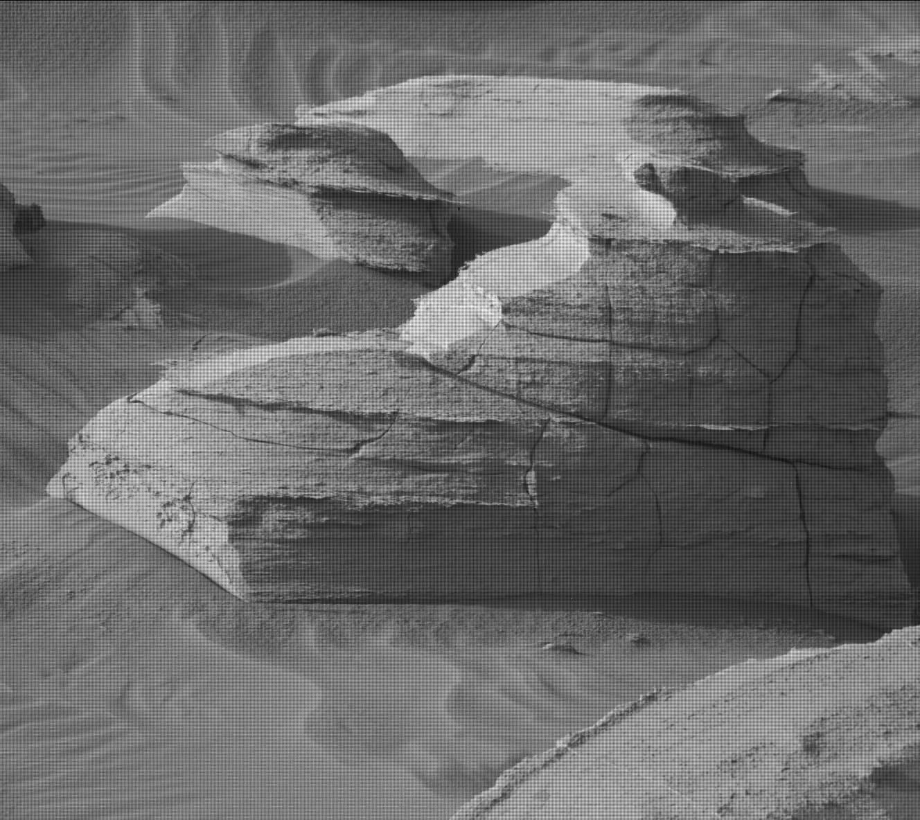
You can see the polygonal fractures in the full image. The thin line of rock sticking up from the tadpole illustrates one of these continuous linear veins. The material that fills the vein is obviously more resistent to erosion, so as the wind (and maybe ancient ice or water activity) scoured the rock into its tadpole shape, the vein material remained.
» Read more


