
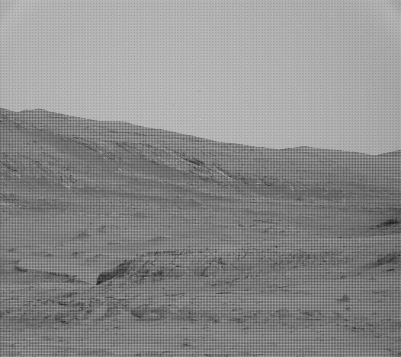
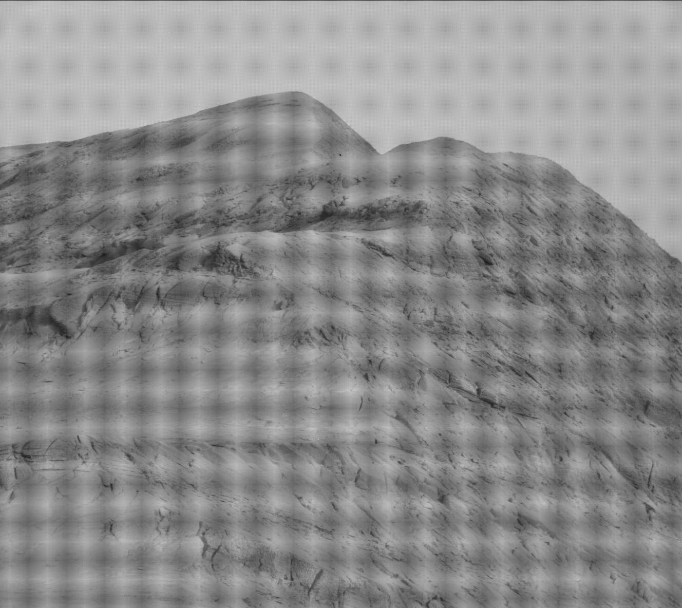
Weird drainages on Mars

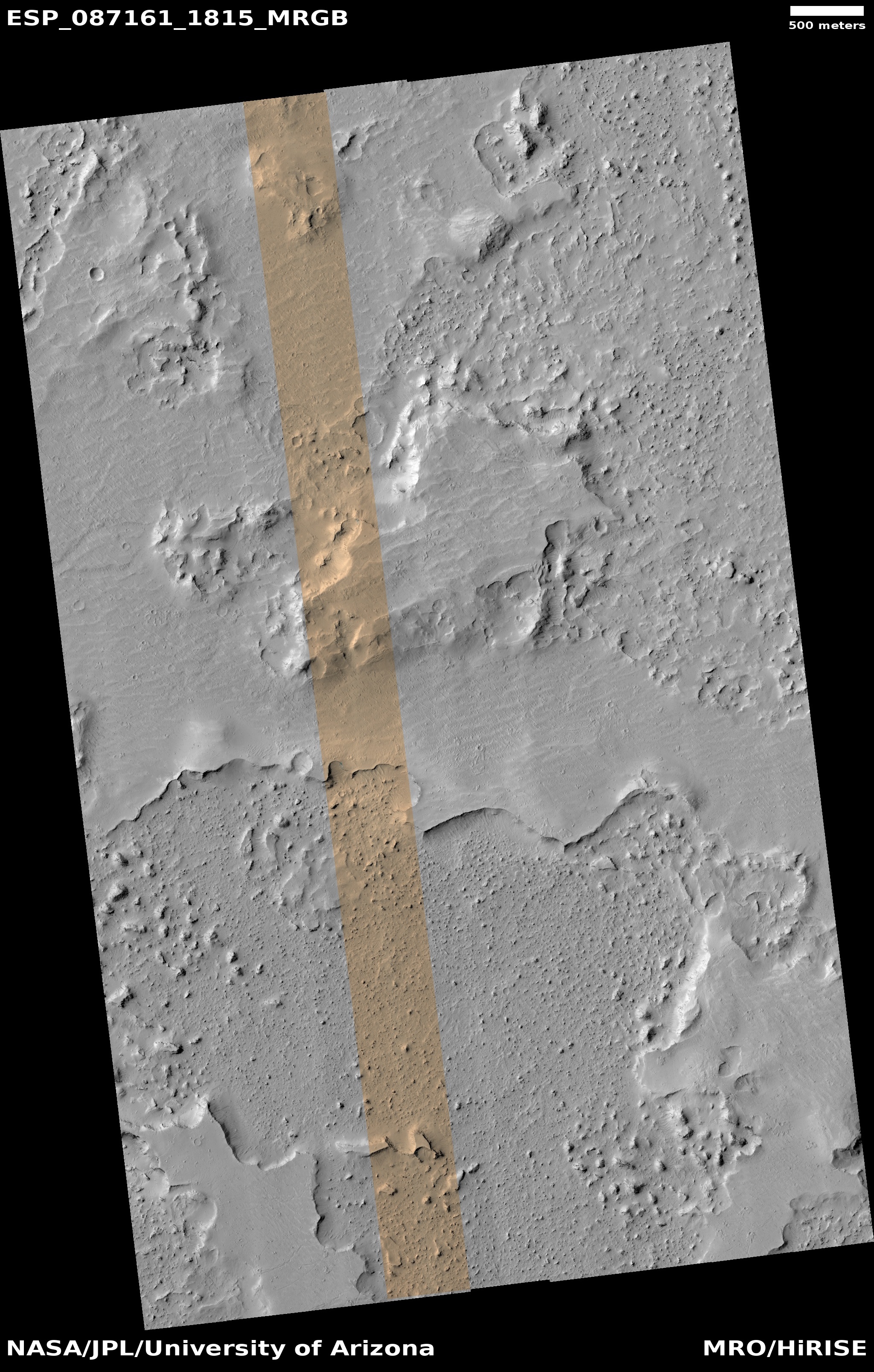
Click for original image.
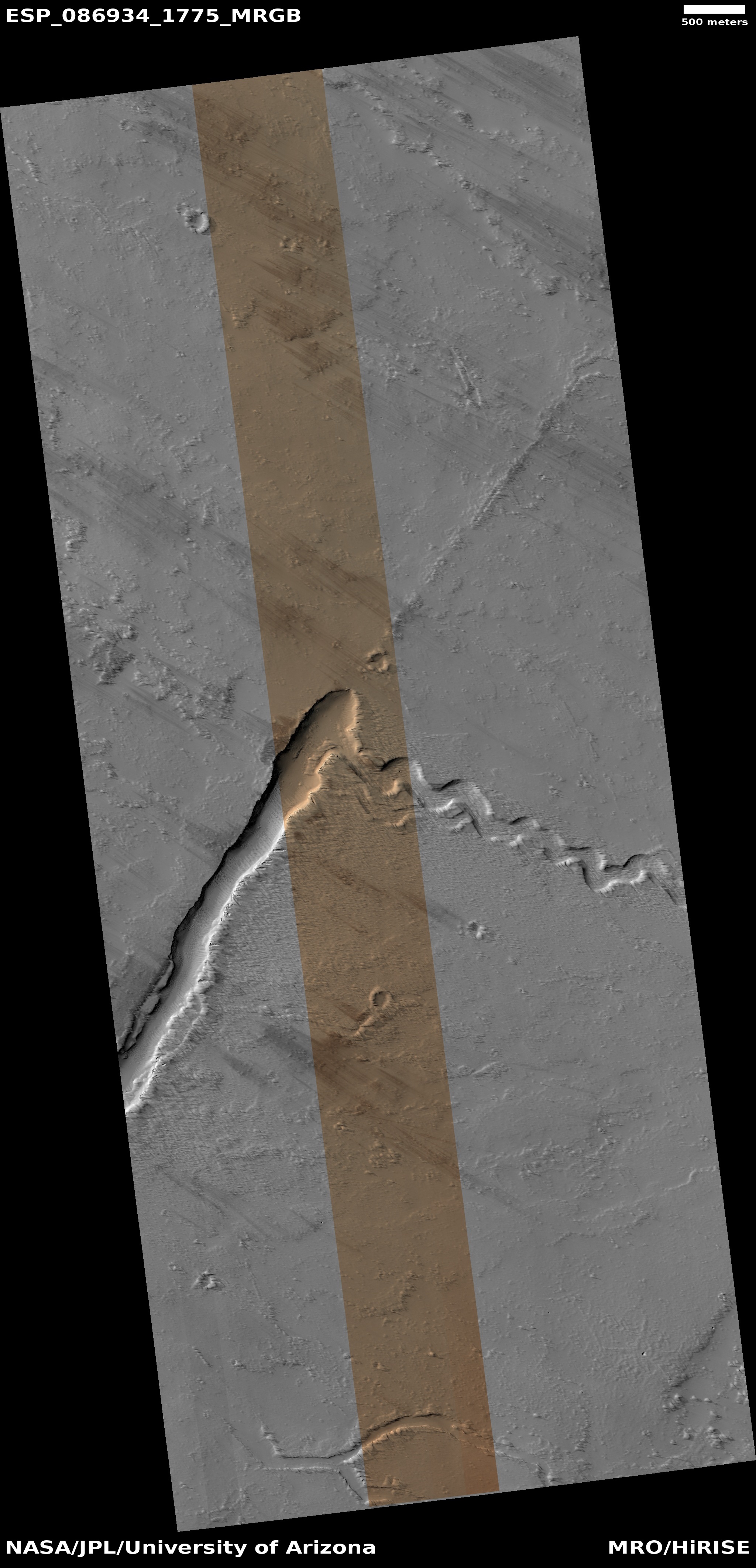
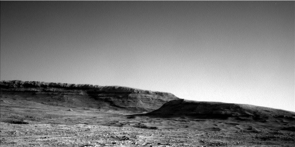
Cool image time! The picture to the right, cropped, reduced, and sharpened to post here, was taken on Februay 11, 2025 by the high resolution camera on Mars Reconnaissance Orbiter (MRO). The camera team posted it yesterday as their own cool image, labeling it “A Fissure and Channel near Pavonis Mons”. From the caption:
A linear trough strikes northeast, then abruptly ends (or changes into a narrow ridge). Where the trough ends, a sinuous channel has an east-southeast strike, trending at almost a right angle to the trough. What happened to form these features?
We can speculate that first there was a southwest-to-northeast trending fracture or fault, perhaps associated with a volcanic vent. Groundwater (or some other runny fluid) coursed through the fault until overflowing and forming the sinuous channel. Continued movement through the fault carved a trough up to the overflow point.
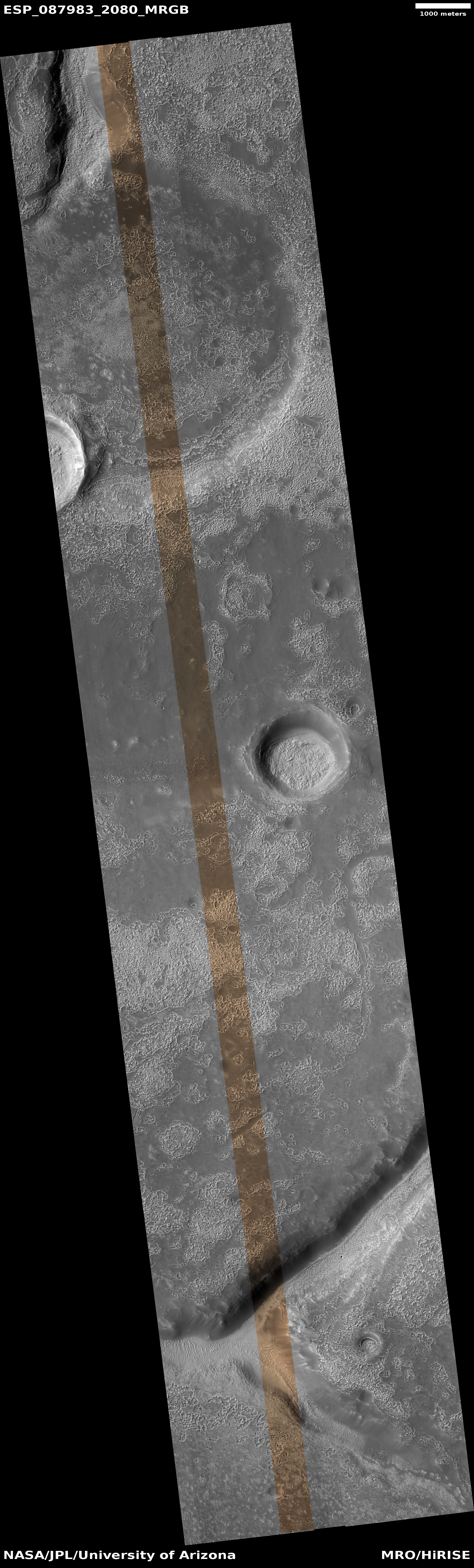
The arrows indicate the downhill grades. Though this caption mentions groundwater, it is far more likely that the “runny fluid” was lava, as shown by the overview map below.
» Read more
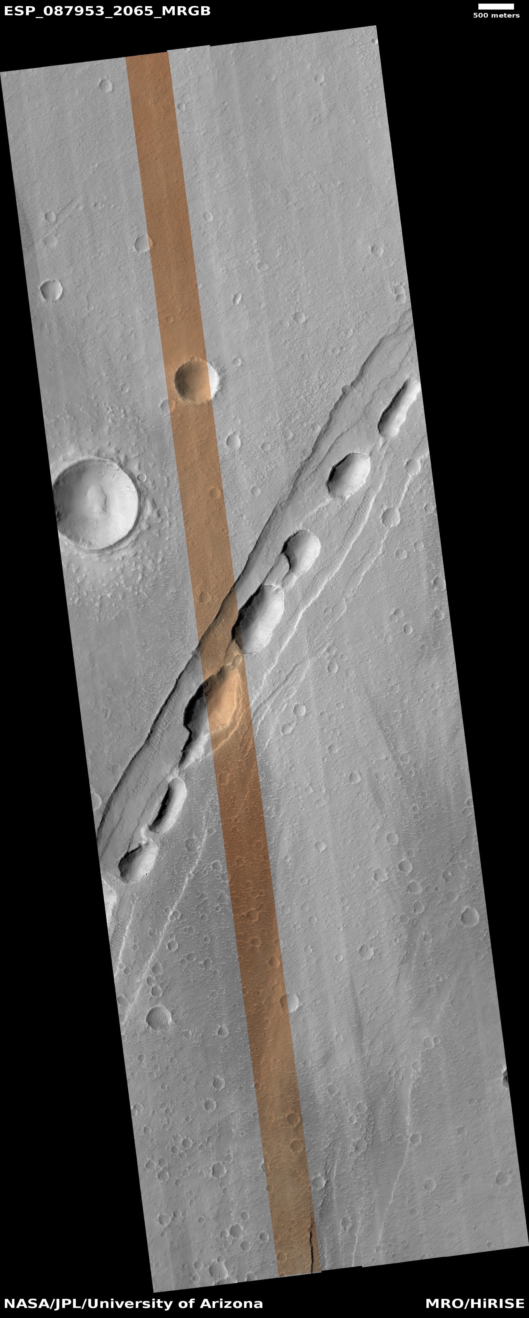
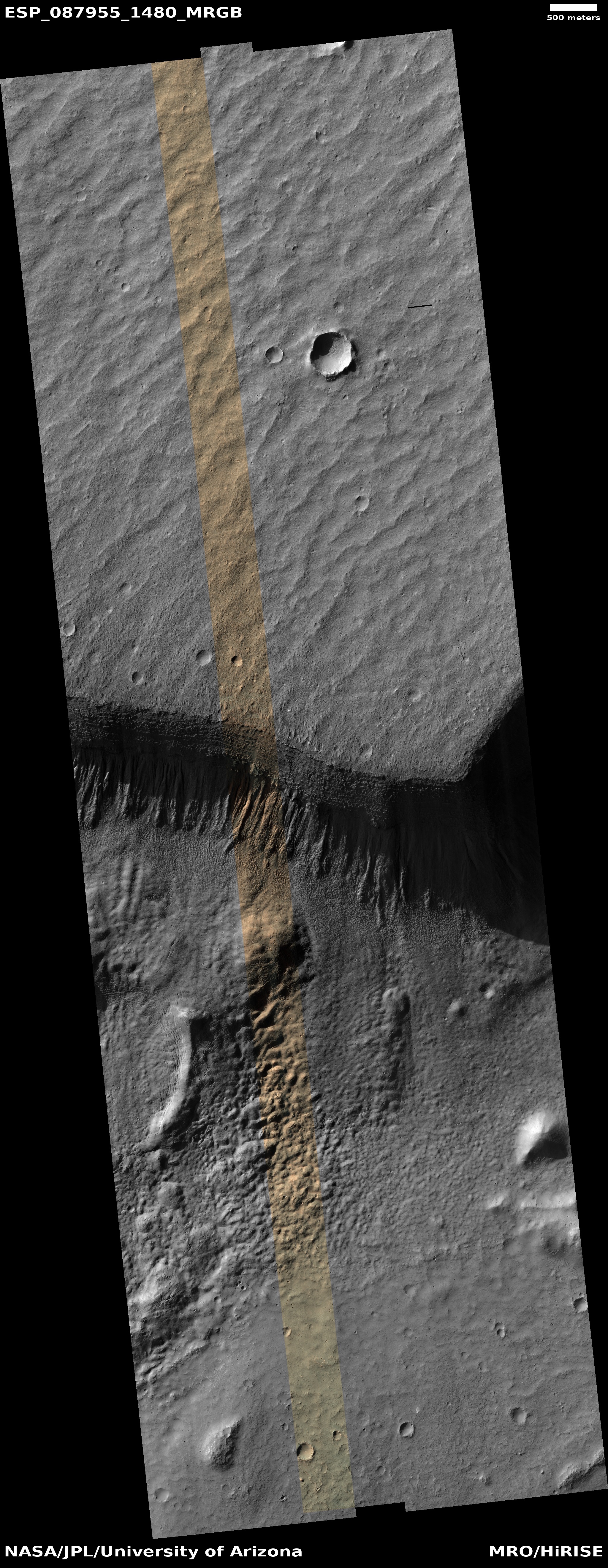
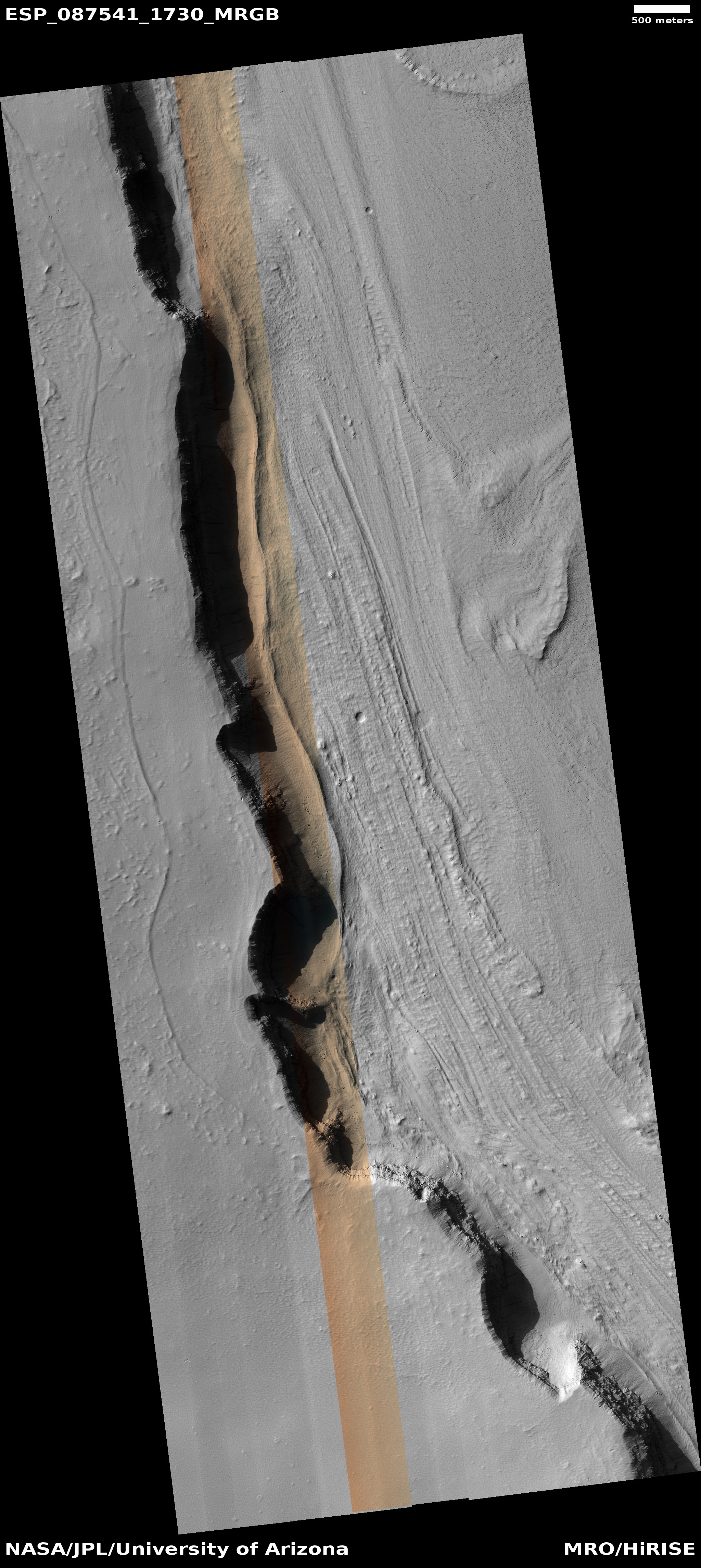
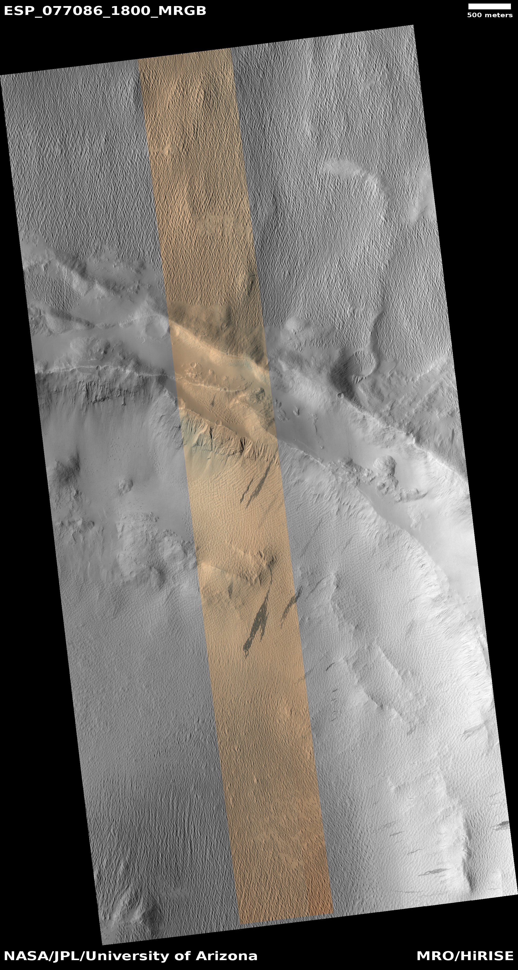
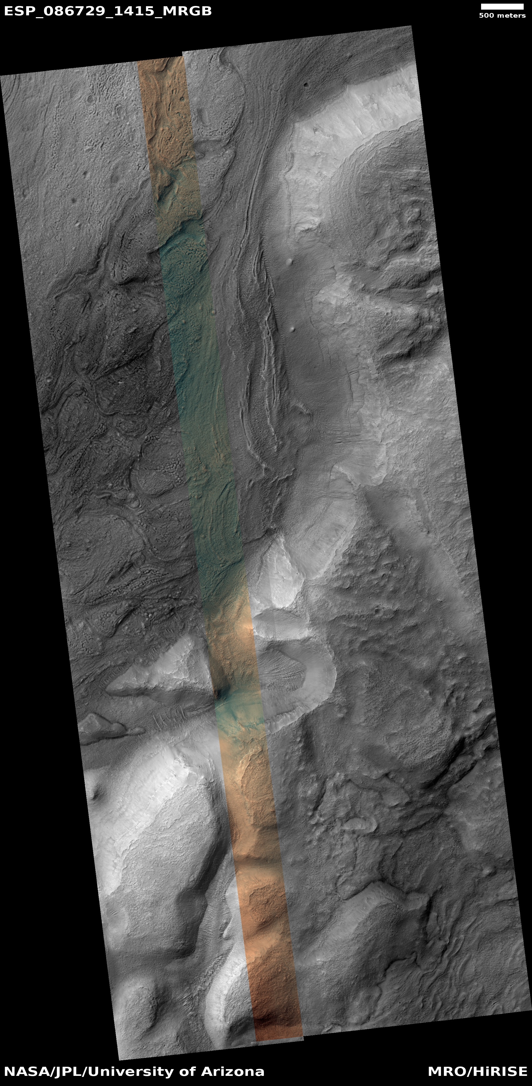
Click for original image.
Cool image time! The picture to the right, cropped, reduced, and sharpened to post here, was taken on Februay 11, 2025 by the high resolution camera on Mars Reconnaissance Orbiter (MRO). The camera team posted it yesterday as their own cool image, labeling it “A Fissure and Channel near Pavonis Mons”. From the caption:
A linear trough strikes northeast, then abruptly ends (or changes into a narrow ridge). Where the trough ends, a sinuous channel has an east-southeast strike, trending at almost a right angle to the trough. What happened to form these features?
We can speculate that first there was a southwest-to-northeast trending fracture or fault, perhaps associated with a volcanic vent. Groundwater (or some other runny fluid) coursed through the fault until overflowing and forming the sinuous channel. Continued movement through the fault carved a trough up to the overflow point.
The arrows indicate the downhill grades. Though this caption mentions groundwater, it is far more likely that the “runny fluid” was lava, as shown by the overview map below.
» Read more


