
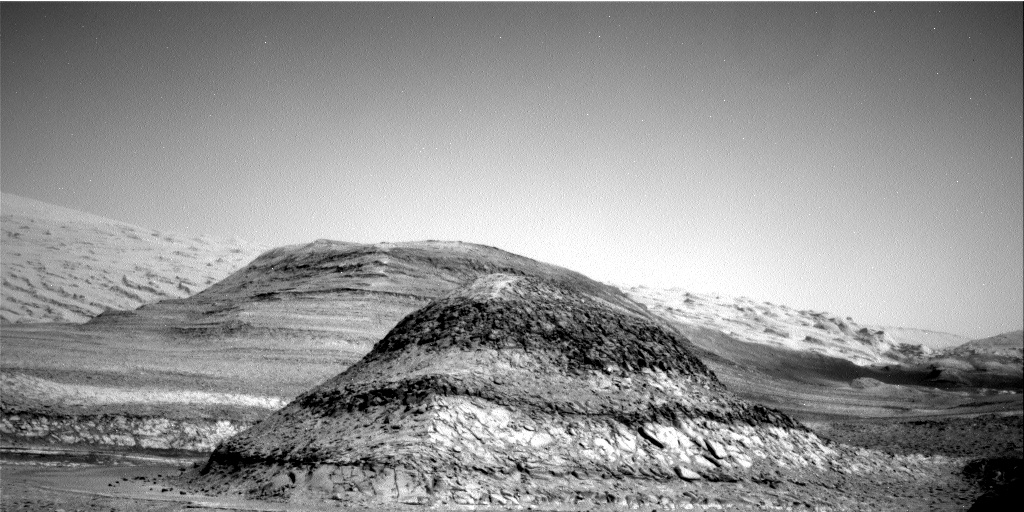
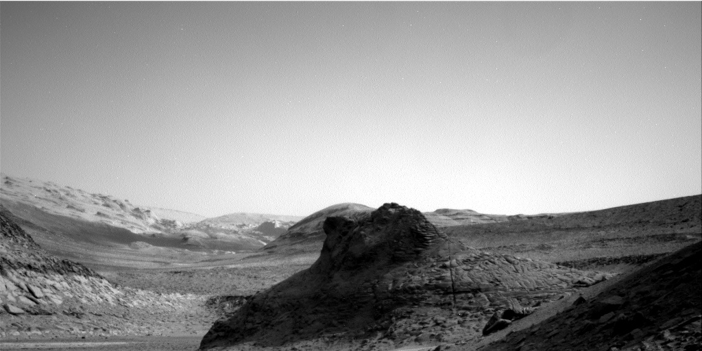
Perseverance experiment generates new record of breathable oxygen on Mars
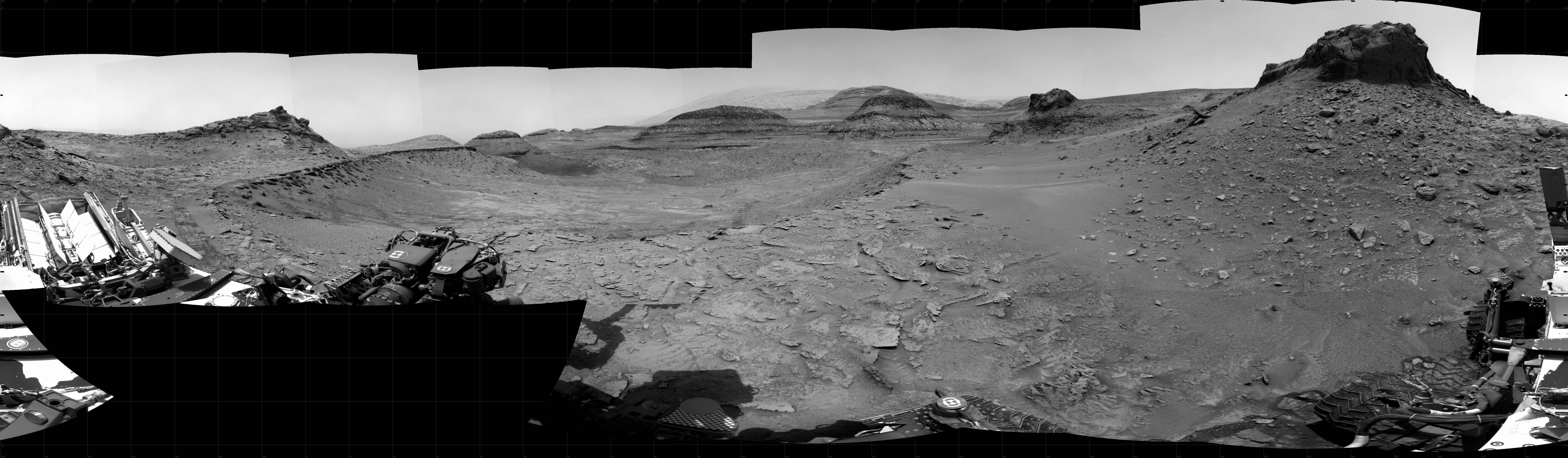
MOXIE, an experiment on the rover Perseverance to see if breathable oxygen could be generated from the carbon dioxide in the Martian atmosphere, has set a new production record.
The atmosphere around Jezero Crater, the present location of Perseverance, reached peak density for the year mid (Earth) summer. This presented the perfect opportunity for the MOXIE science team to step on the accelerator and test how fast we could safely produce oxygen. This test occurred on Sol 534 (Aug. 22, 2022) and produced a peak of 10.44 grams per hour of oxygen. This represented a new record for Martian oxygen production! The team was thrilled to surpass our design goal of 6 grams per hour by over 4.4 grams. The peak rate was held for 1 minute of the 70 minutes oxygen was produced during the run.
MOXIE’s next opportunity to operate came recently. Despite the decreasing density of the Mars atmosphere, on Sol 630 (Nov. 28, 2022) MOXIE managed to break the record again and produce nearly 10.56 grams per hour at peak. Oxygen production was sustained for a 9.79 grams per hour for nearly 40 minutes.
These numbers may seem small, but MOXIE production runs are limited by available rover power. In addition, MOXIE technology was miniaturized to accommodate the limited space available on the rover. A MOXIE for a human Mars mission would produce oxygen nearly 200 times faster and work continuously for well over a year.
Ten grams per hour is about half what one person needs to breathe, and is a little less than a large tree produces. Moreover, MOXIE had earlier conducted seven other runs, producing about six grams of oxygen per hour during each.
Based on these tests, MOXIE has unequivocally proven that future human explorers will not need to bring much oxygen with them, and will in fact have essentially an unlimited supply, on hand from the red planet itself. More important, MOXIE has also proven that the technology to obtain this oxygen already exists.
All we need to do is plant enough MOXIE trees on Mars.


