Ingenuity completes its 67th flight on Mars

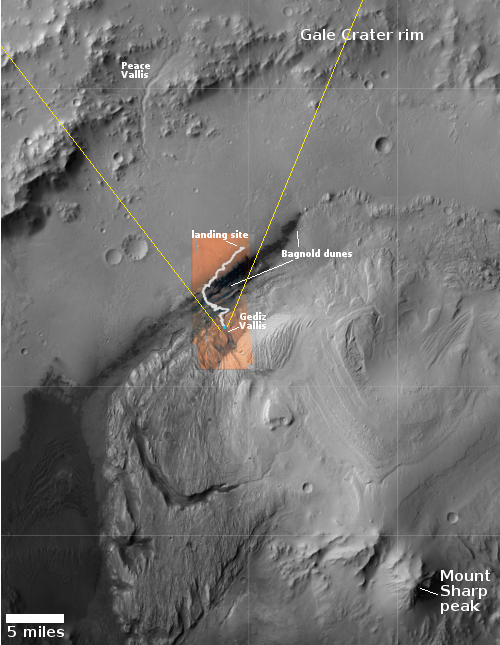
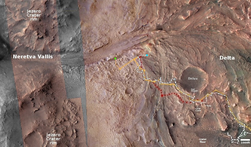
Click for interactive map.
Almost immediately after communications were re-established with Mars after the monthlong solar conjunction — where the Sun stood between the Earth and Mars — the Ingenuity engineering team uploaded instructions for Ingenuity’s 67th flight, and on December 2, 2023, the helicopter successfully completed that flight, traveling 1,289 feet to the west at a height of 39 feet for 136 seconds, almost exactly what the flight planned dictated.
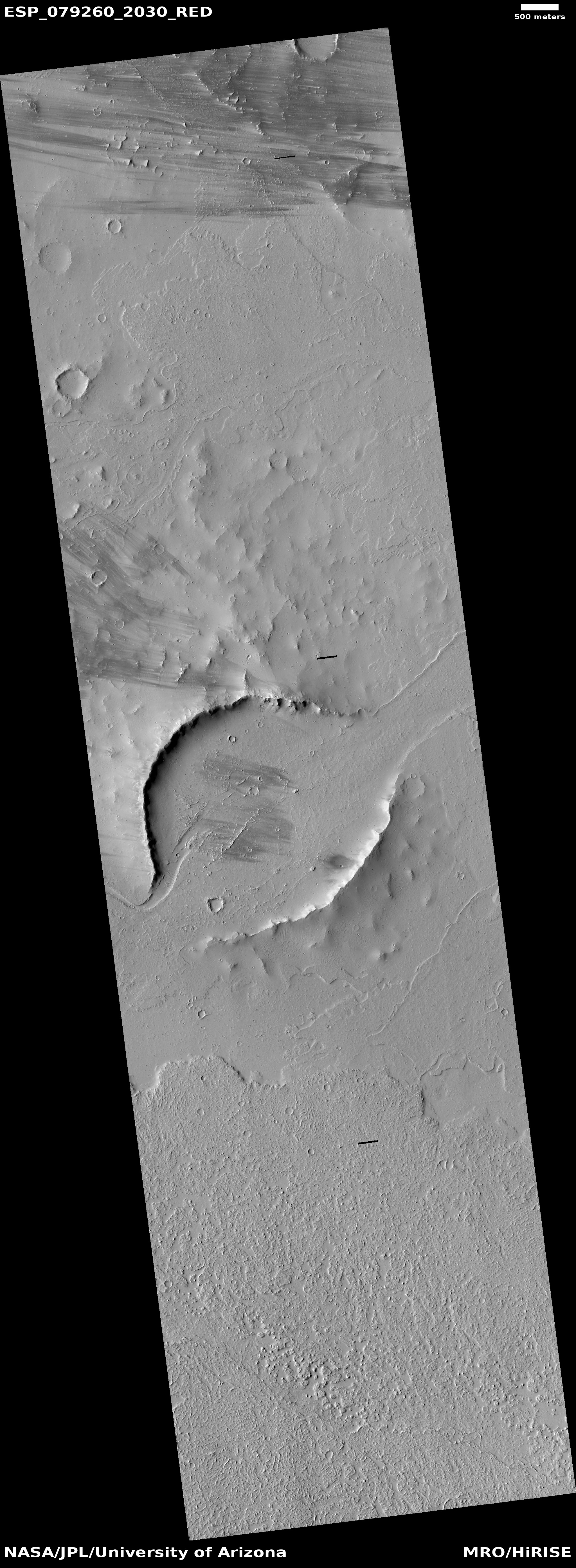
The overview map above shows with the green dot the helicopter’s new position after that flight. It has moved ahead of Perseverance into Neretva Vallis, the gap out of Jezero Crater through which the rover will eventually travel. At the moment however Perseverance sits much farther east, as indicated by the blue dot, where it has been studying the surface geology of the delta that once flowed through that gap into the crater.