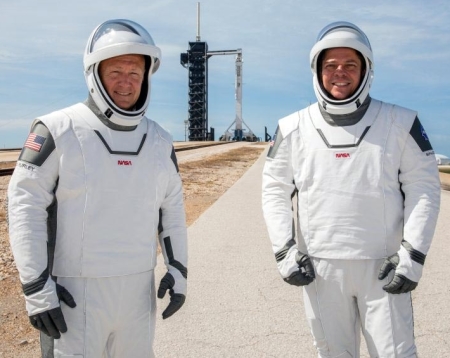
SpaceX’s first manned Dragon launch scrubbed due to weather
UPDATE: They were forced to scrub at T-16:54 because of weather. They will try again in three days on May 30th, at 3:22 pm (Eastern). I will post the live stream here on Behind the Black late Friday night.
Original post:
—————————-
I have embedded below SpaceX’s live stream of the first manned Dragon mission, set to launch at 4:33 pm (Eastern). The stream begins at about 12:15 pm (Eastern). Feel free to watch as the day unfolds. Sadly, it is being managed by NASA, not SpaceX, and thus is filled with a lot of the agency’s fake hype.
I have also set it to remain at the top of the page until after the launch, or if it is scrubbed.
On a side note, NASA is now aiming for an August 30 launch of SpaceX’s next manned Dragon mission, the first official operational flight.
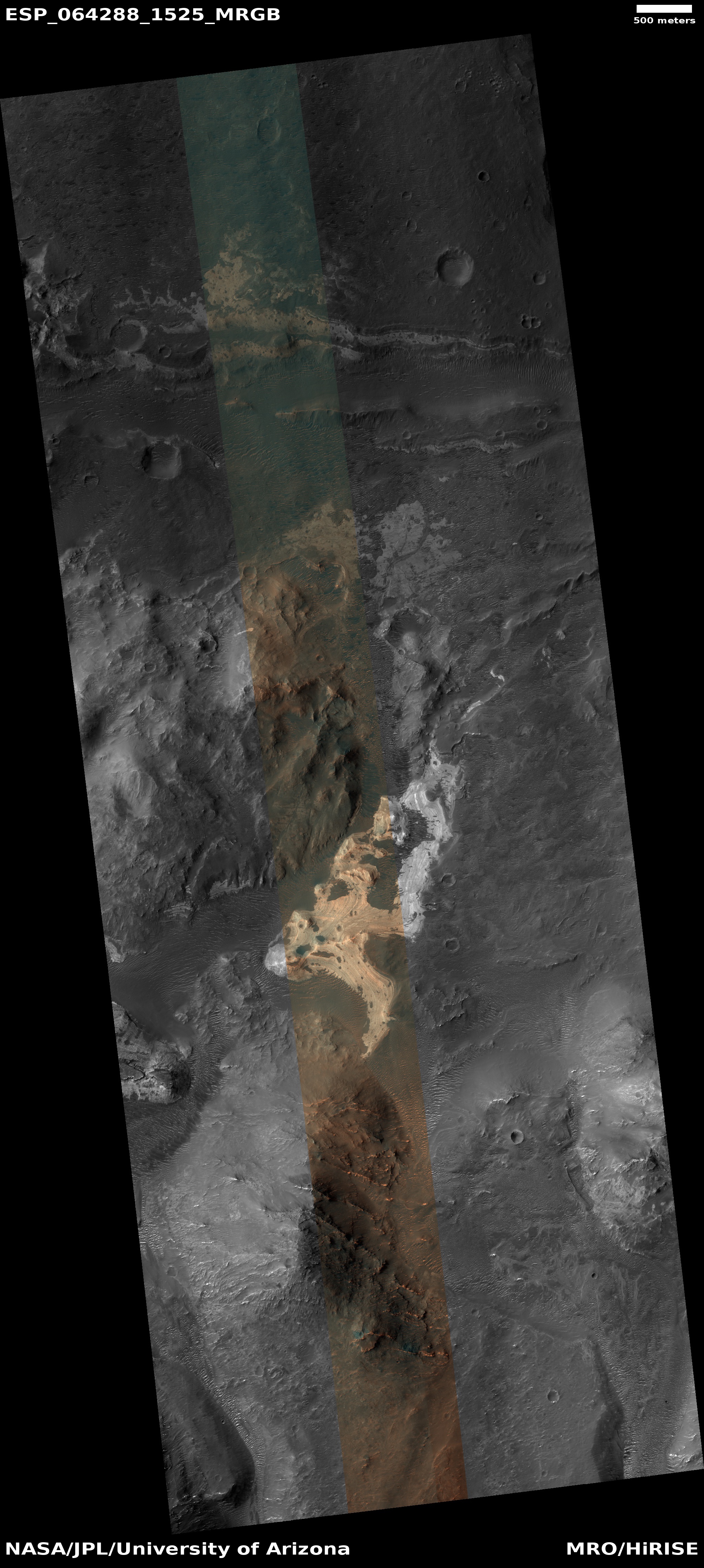
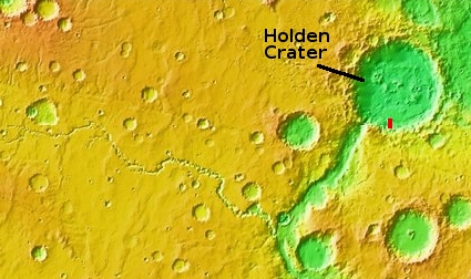
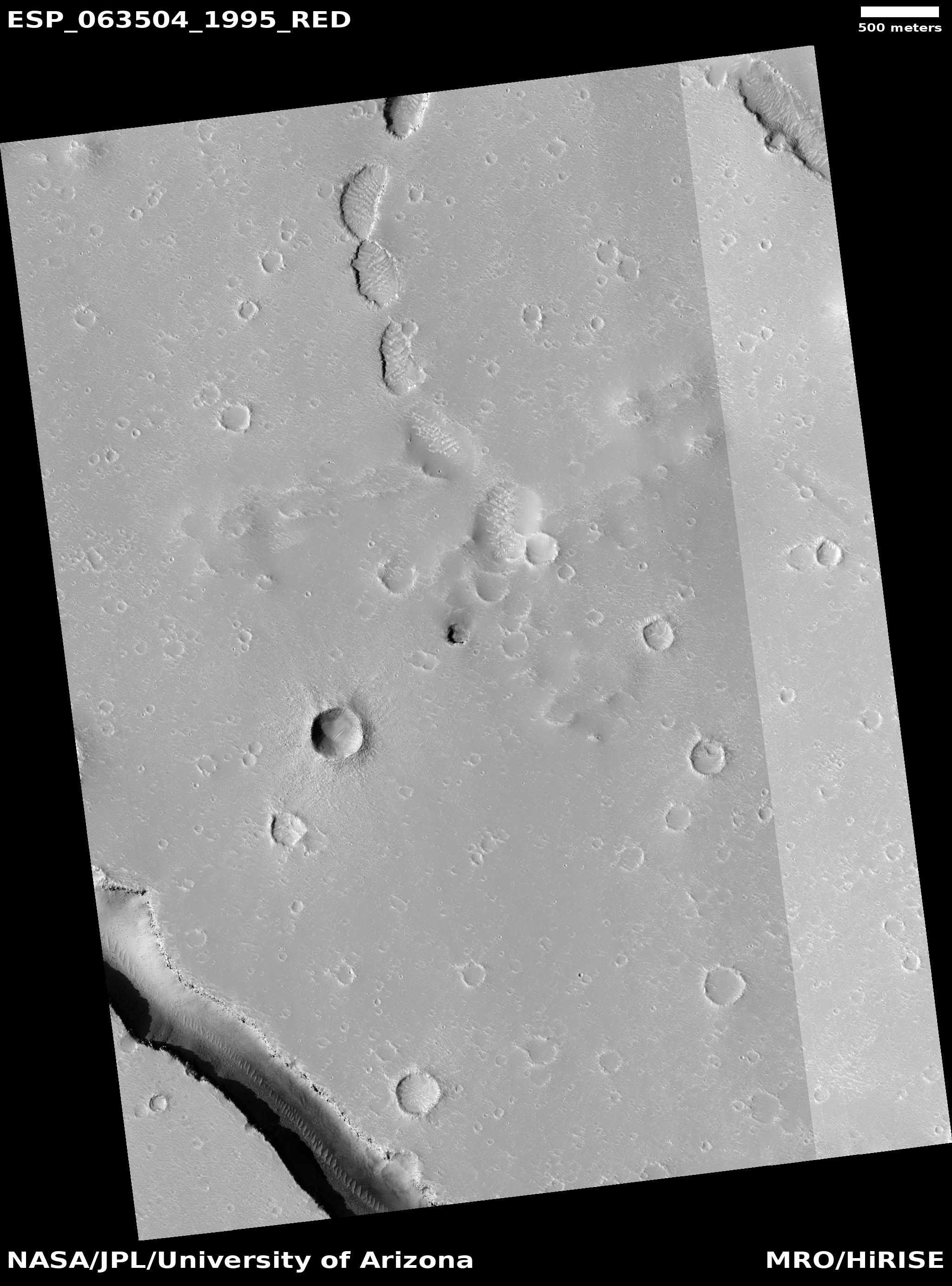
Below the fold I am also posting images captured, with some commentary.
UPDATE: They were forced to scrub at T-16:54 because of weather. They will try again in three days on May 30th, at 3:22 pm (Eastern). I will post the live stream here on Behind the Black late Friday night.
Original post:
—————————-
I have embedded below SpaceX’s live stream of the first manned Dragon mission, set to launch at 4:33 pm (Eastern). The stream begins at about 12:15 pm (Eastern). Feel free to watch as the day unfolds. Sadly, it is being managed by NASA, not SpaceX, and thus is filled with a lot of the agency’s fake hype.
I have also set it to remain at the top of the page until after the launch, or if it is scrubbed.
On a side note, NASA is now aiming for an August 30 launch of SpaceX’s next manned Dragon mission, the first official operational flight.
Below the fold I am also posting images captured, with some commentary.