
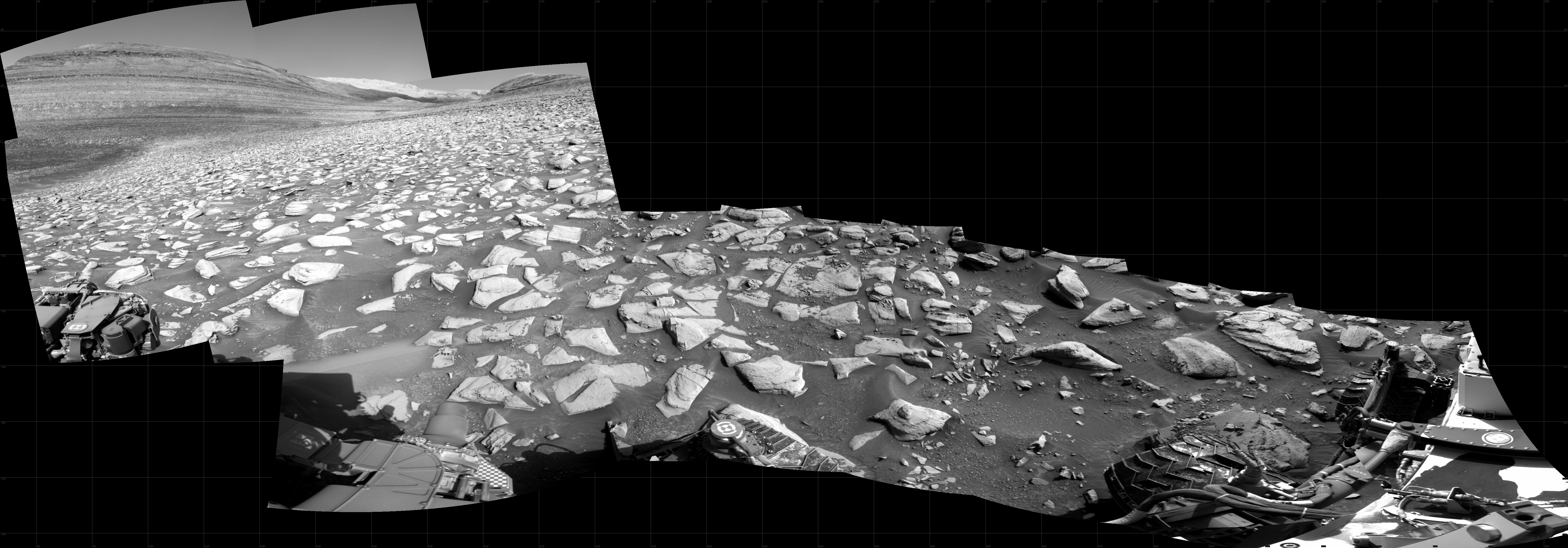
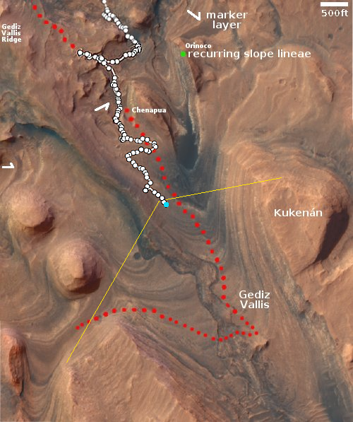
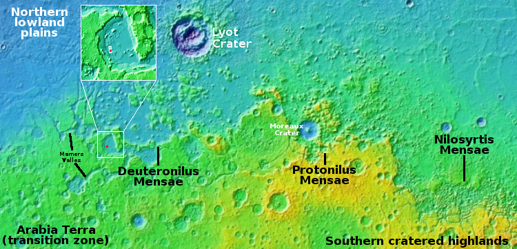
Almost all of Mars’ geological mysteries in one spot
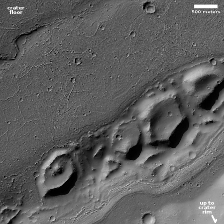
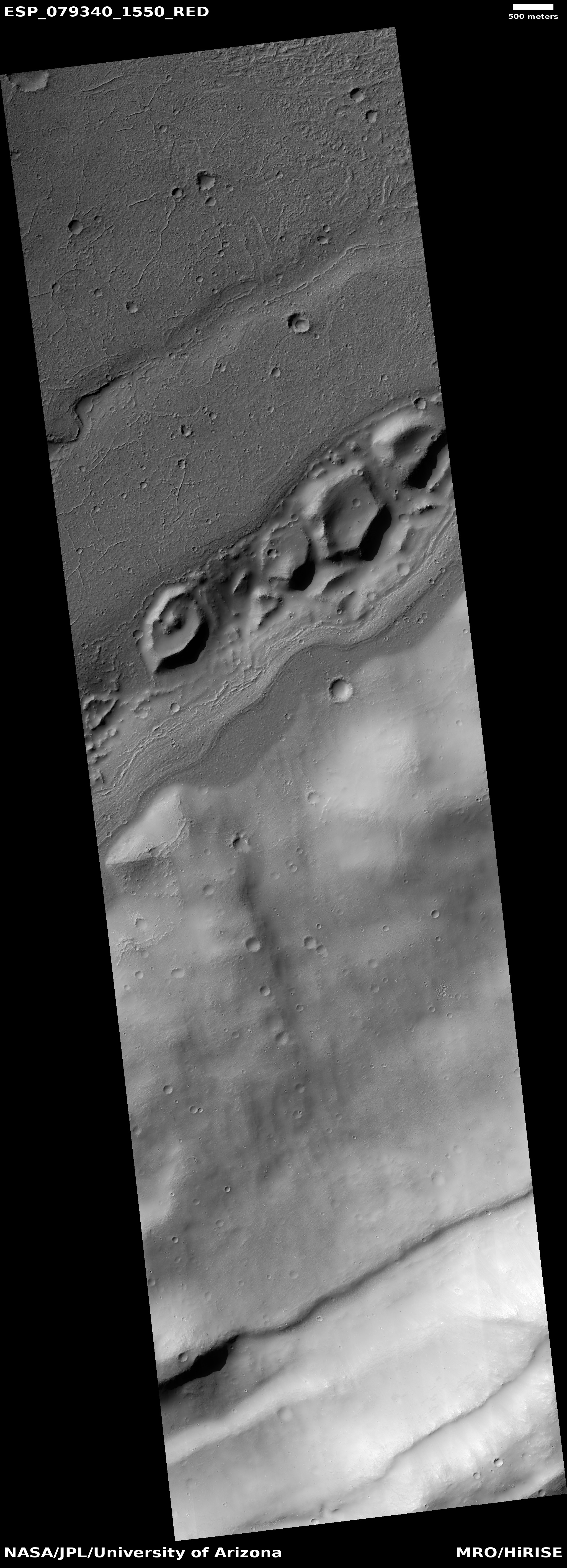
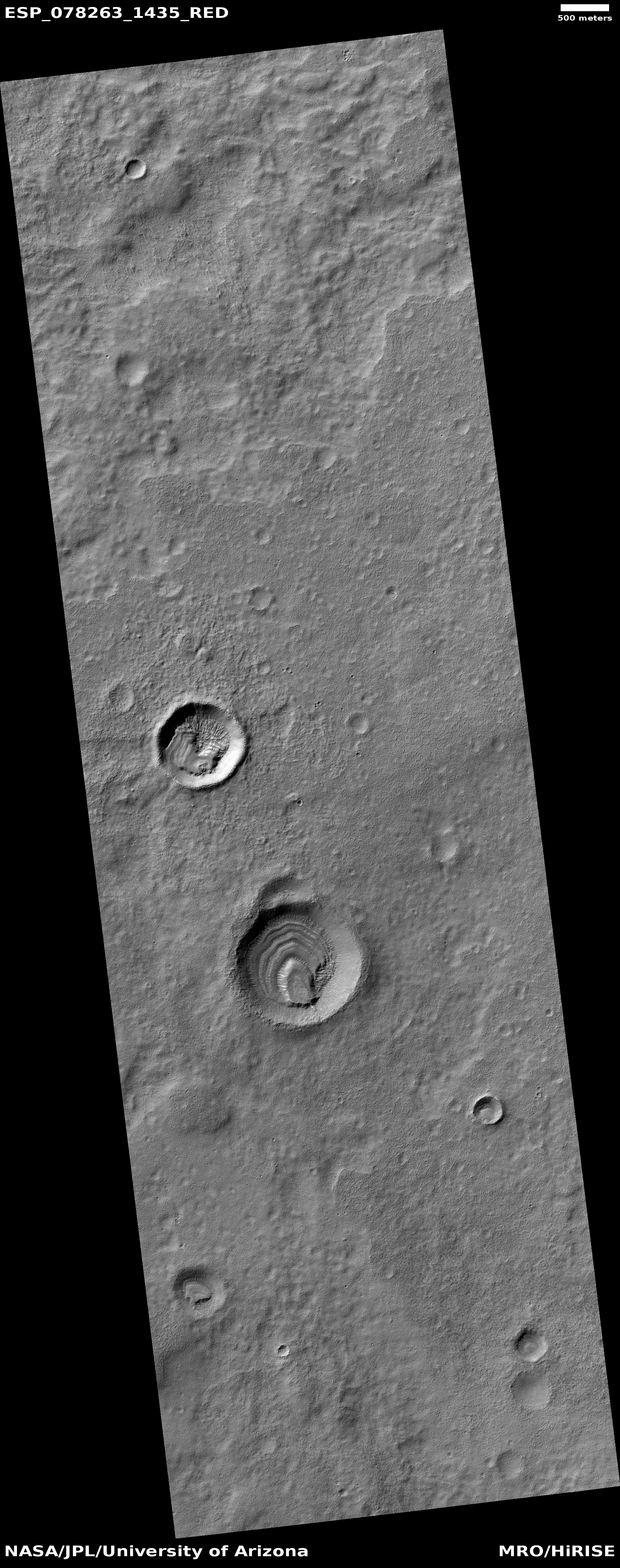
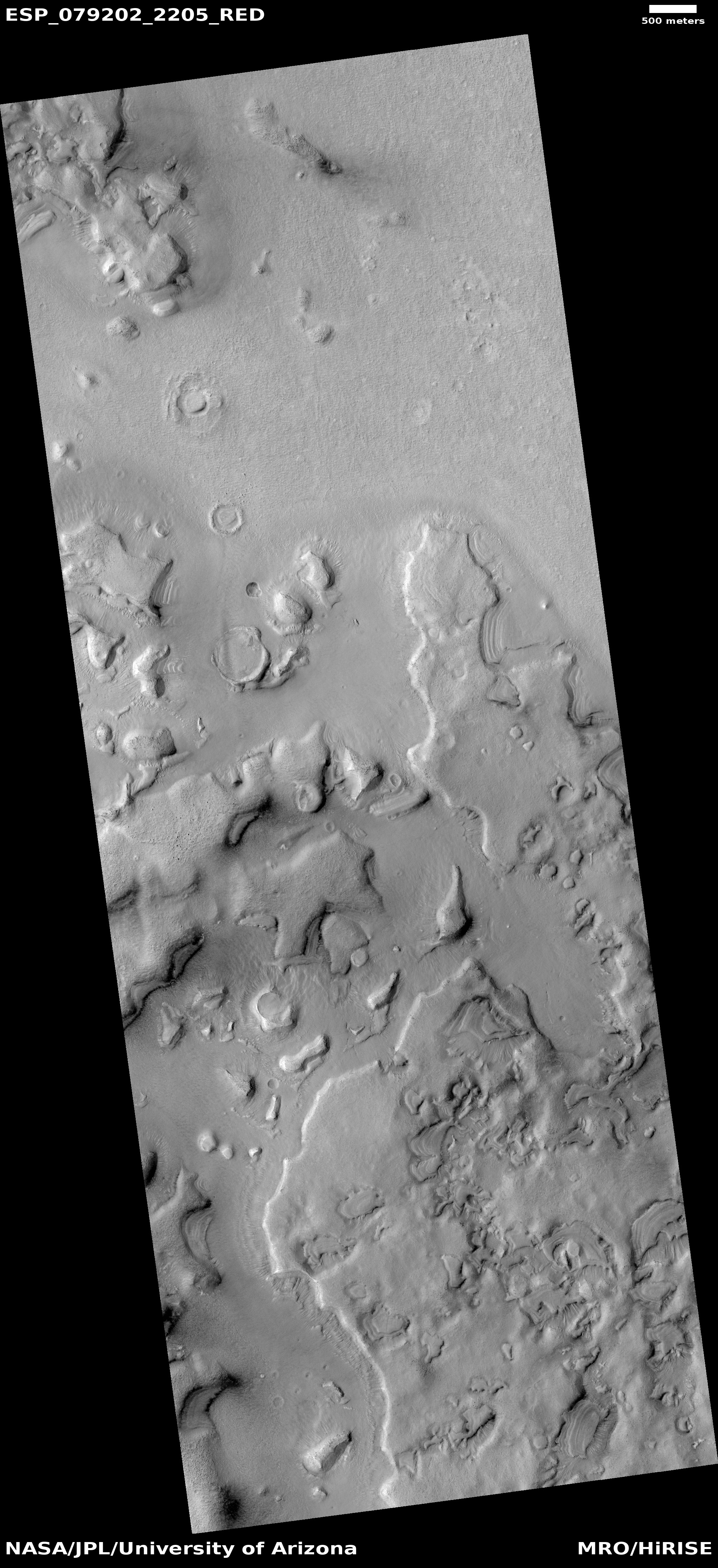
Cool image time! The picture to the right, rotated, cropped, reduced, and sharpened to post here, was taken on June 30, 2023 by the high resolution camera on Mars Reconnaissance Orbiter (MRO). The scientists label it “Mesas in shallow trough,” but that is only describes a small part of what can be seen here, as I interpret it.
The picture itself shows a small portion of the floor of an unnamed 32-mile-wide crater, with the crater’s southeast interior rim beginning its rise in the lower right. First, note the meandering hollow in the upper left, suggesting some past flow. Second, note the pattern of small ridges on the flat crater floor, suggesting some past drying process that left cracks that later filled with material that formed the ridges at a later time. Third, the mesas themselves suggest chaos terrain, often formed on Mars in connection with glacial flows. Fourth, note that the trough which holds the mesas is on the edge of the crater floor, suggesting the trough and mesas mark the erosion that once occurred at the edge of some material, possibly ice, that once filled that floor.
The trough and small meander also signify something far larger that can only be seen when we zoom out.
» Read more
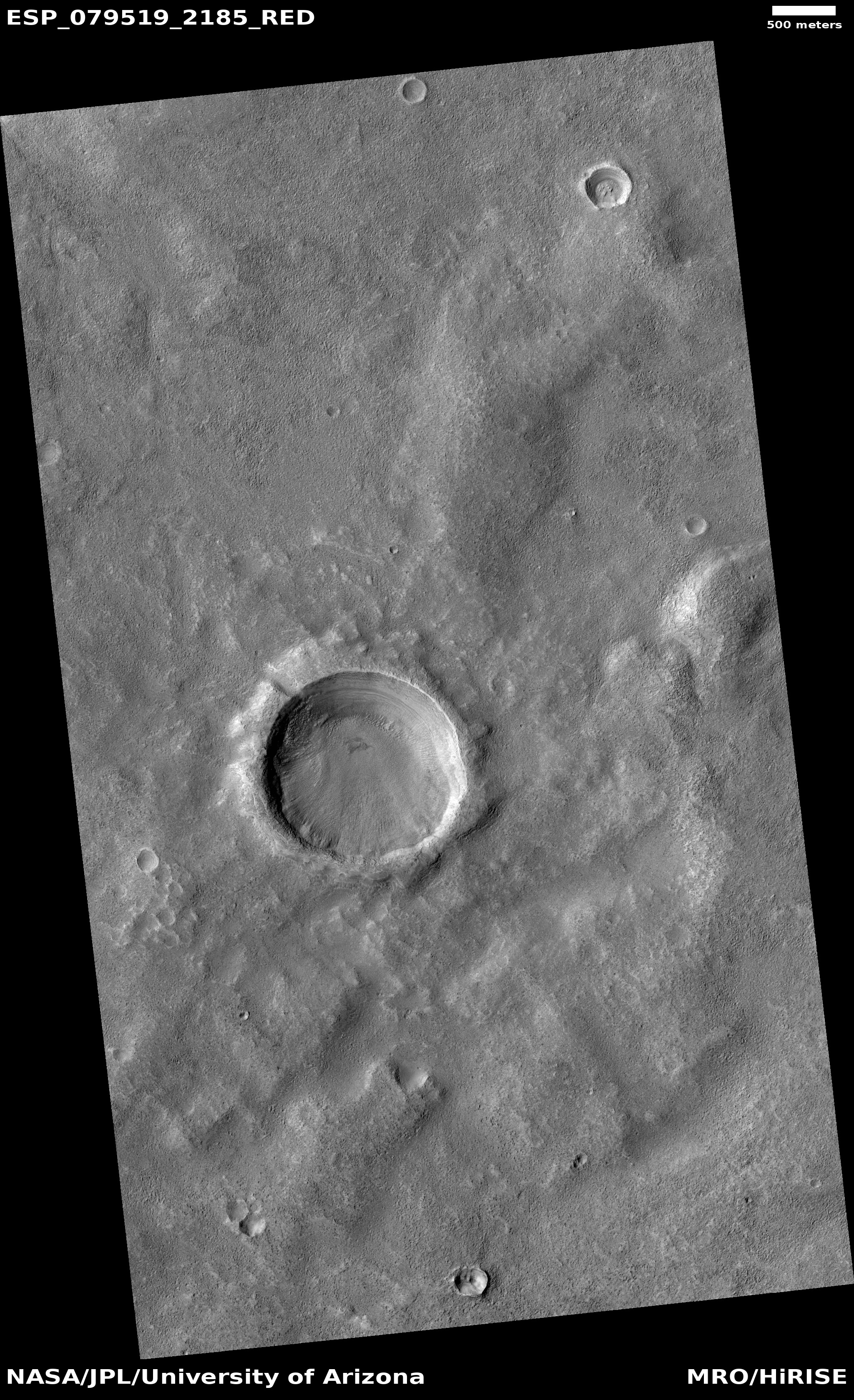
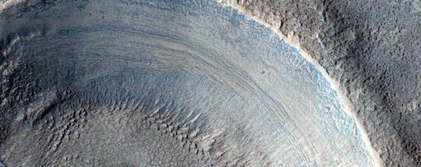
Cool image time! The picture to the right, rotated, cropped, reduced, and sharpened to post here, was taken on June 30, 2023 by the high resolution camera on Mars Reconnaissance Orbiter (MRO). The scientists label it “Mesas in shallow trough,” but that is only describes a small part of what can be seen here, as I interpret it.
The picture itself shows a small portion of the floor of an unnamed 32-mile-wide crater, with the crater’s southeast interior rim beginning its rise in the lower right. First, note the meandering hollow in the upper left, suggesting some past flow. Second, note the pattern of small ridges on the flat crater floor, suggesting some past drying process that left cracks that later filled with material that formed the ridges at a later time. Third, the mesas themselves suggest chaos terrain, often formed on Mars in connection with glacial flows. Fourth, note that the trough which holds the mesas is on the edge of the crater floor, suggesting the trough and mesas mark the erosion that once occurred at the edge of some material, possibly ice, that once filled that floor.
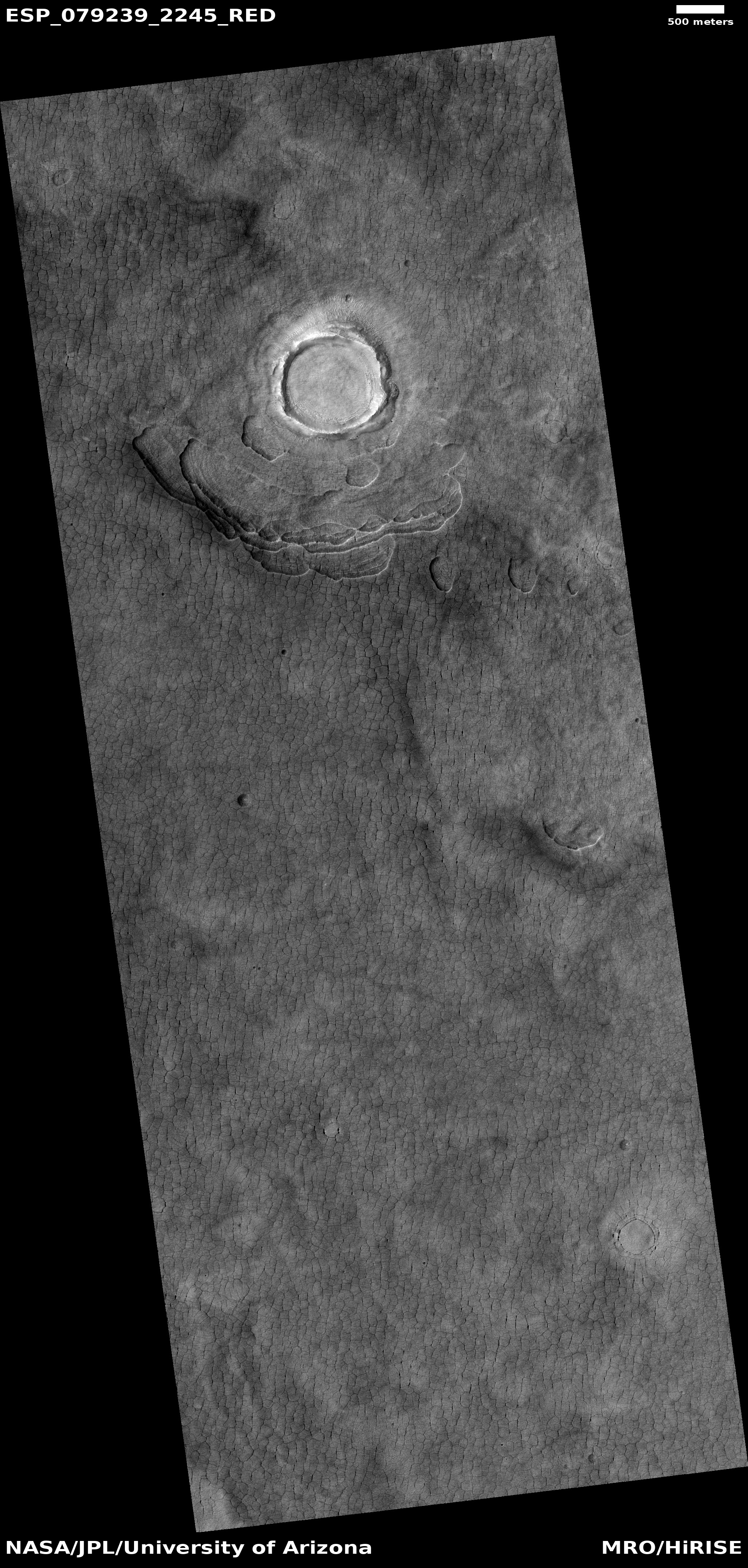
The trough and small meander also signify something far larger that can only be seen when we zoom out.
» Read more


